Elevation of 80 Tidewater Way, Lions Bay, BC V0N, Canada
Location: Canada > British Columbia > Greater Vancouver > Lions Bay >
Longitude: -123.23852
Latitude: 49.4509164
Elevation: 36m / 118feet
Barometric Pressure: 101KPa
Elevation Map:
Satellite Map:
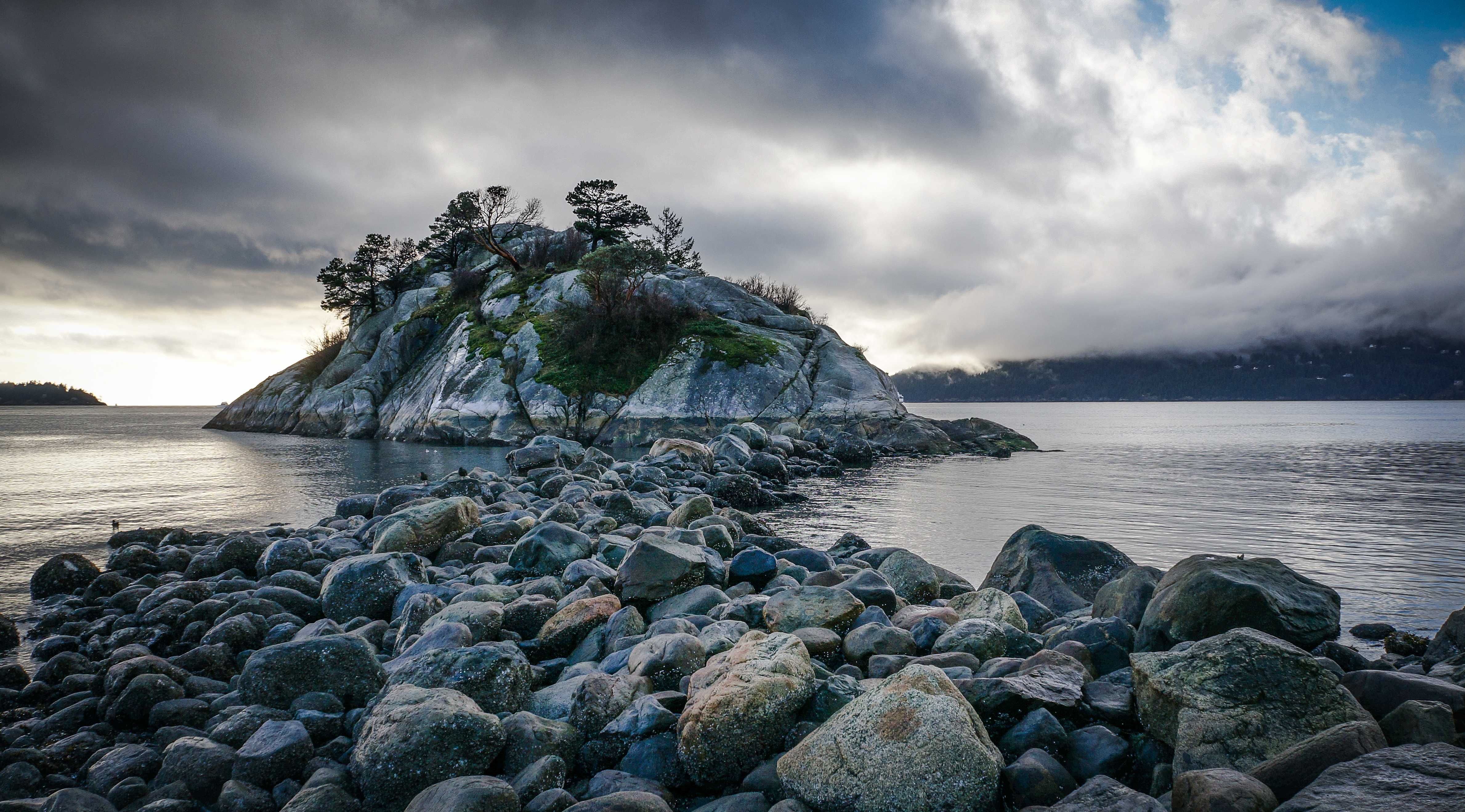
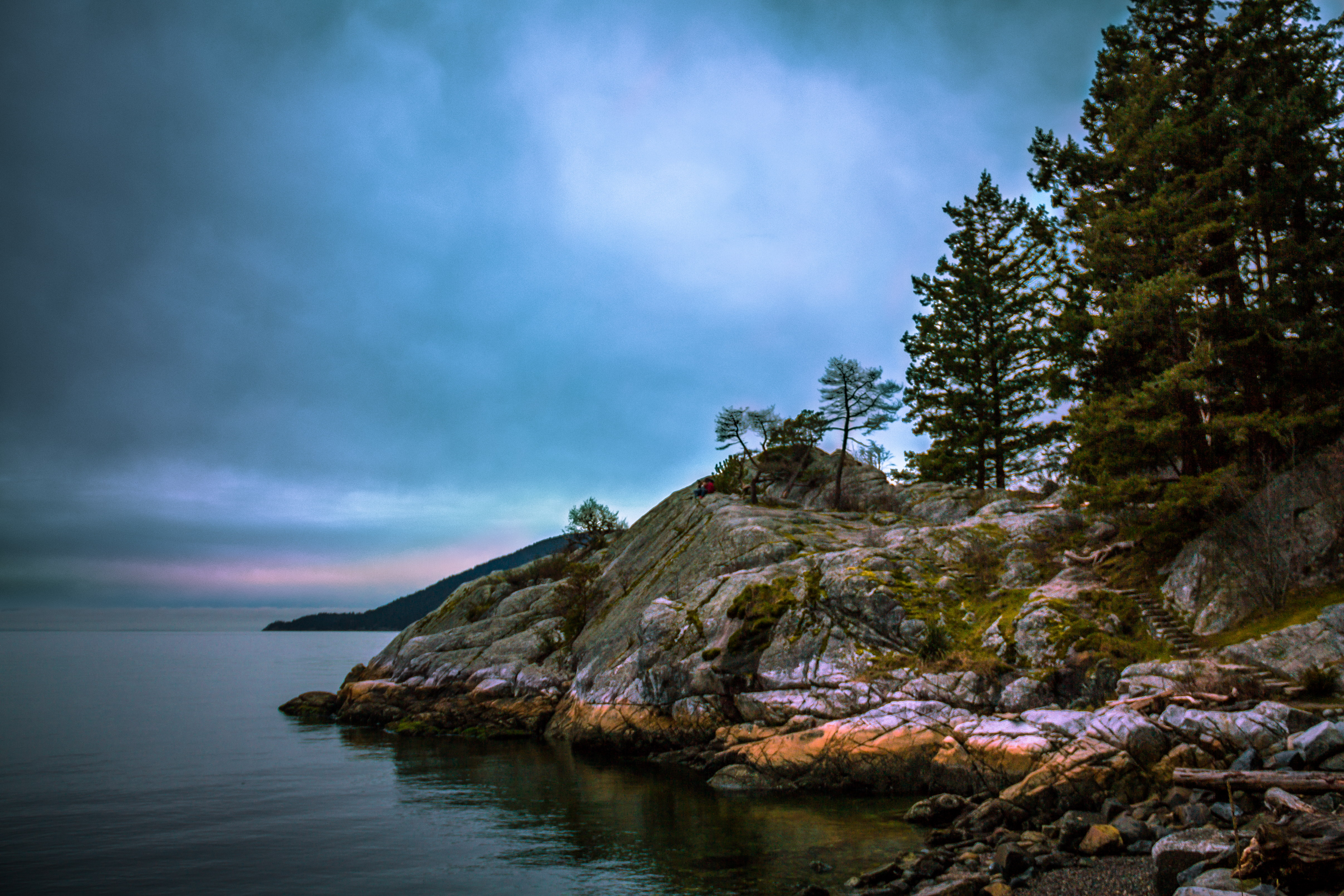
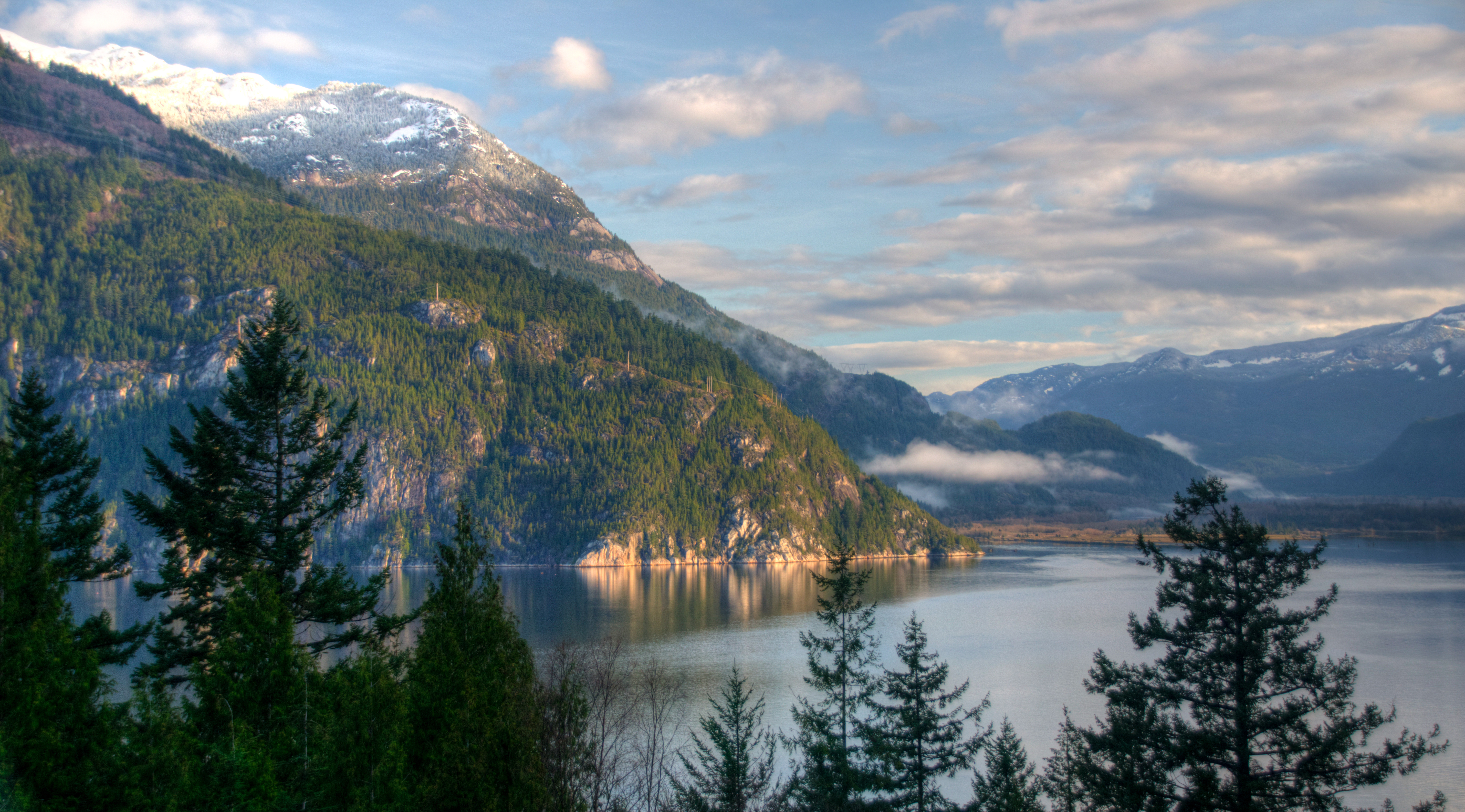
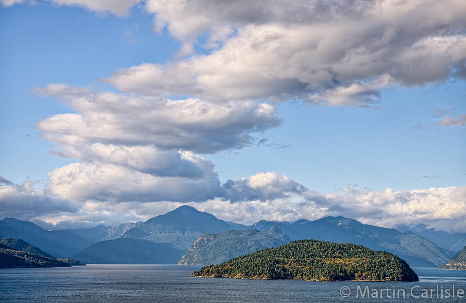
Related Photos:
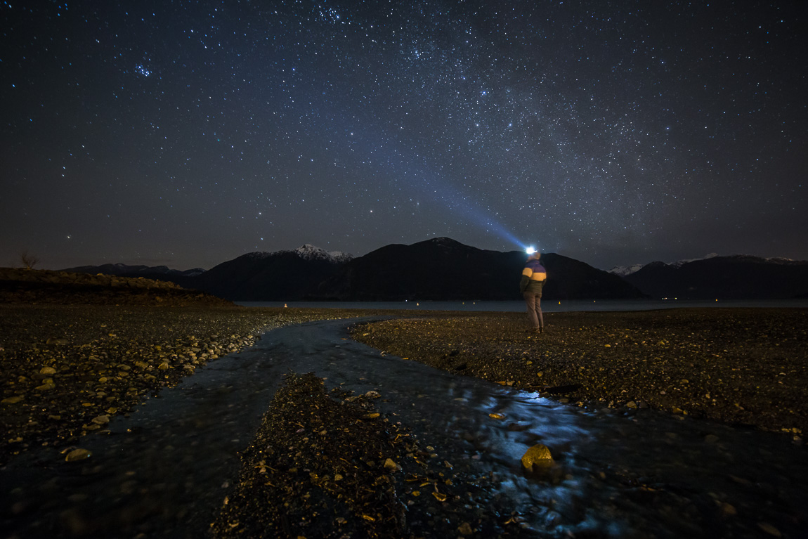
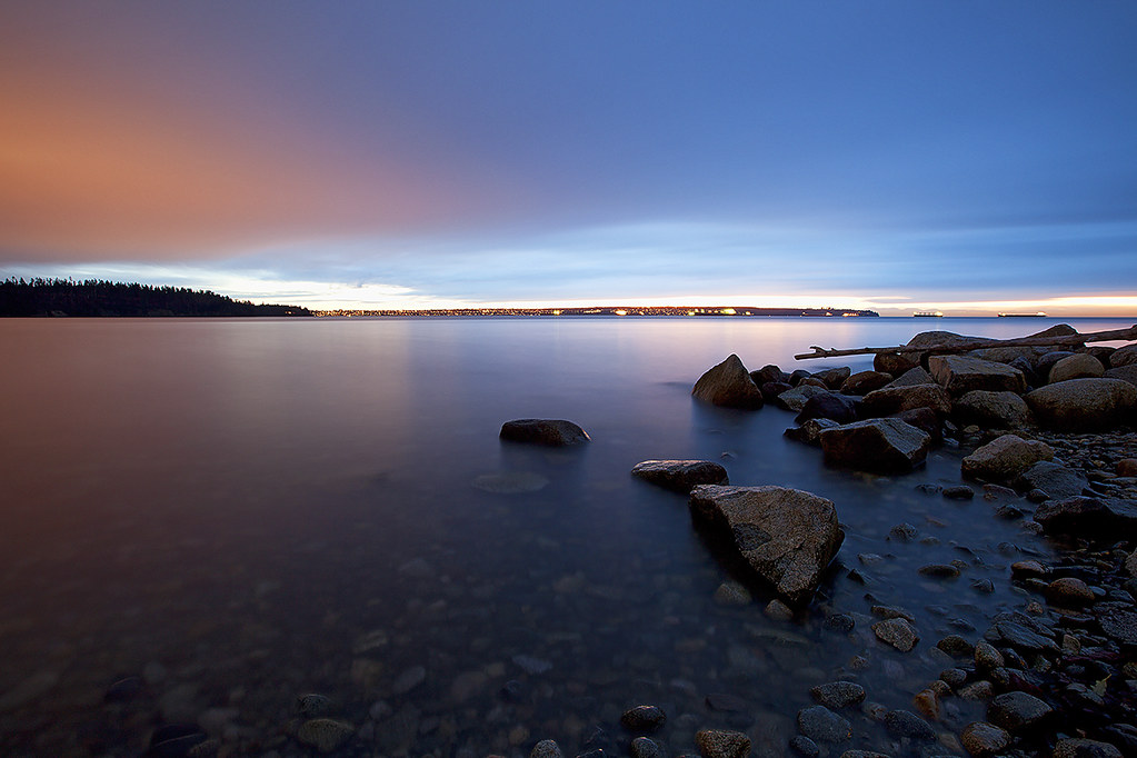
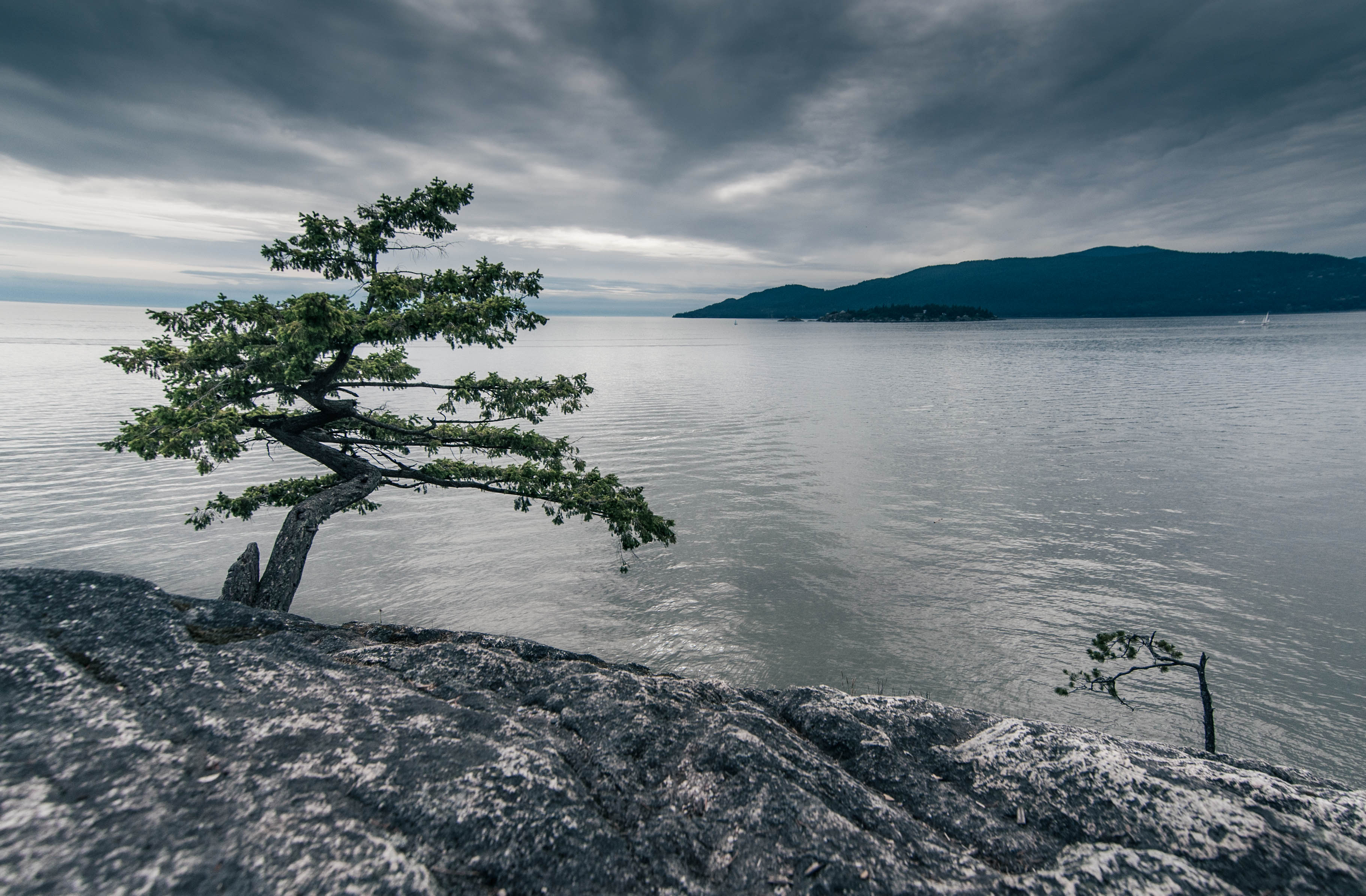
Tide Pool Night
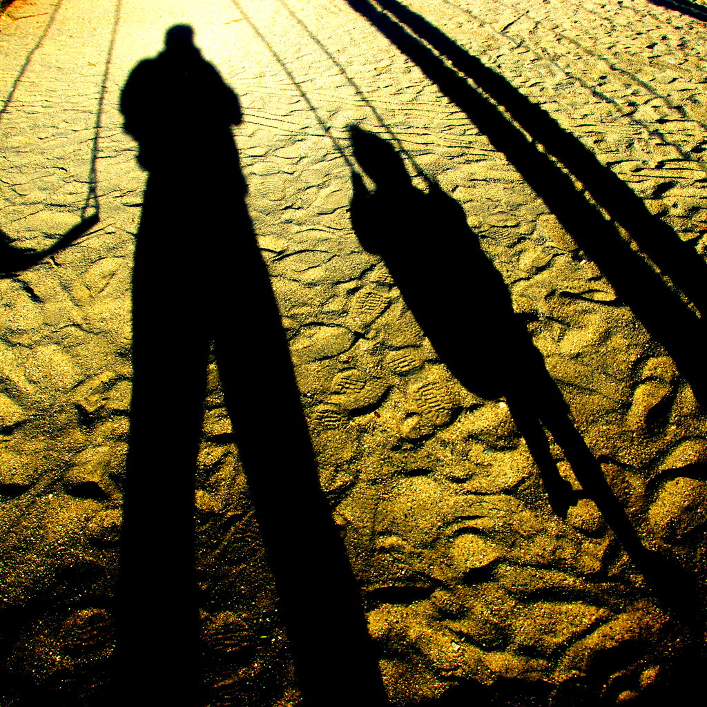
Golden Shadows
Capilano Lake N5908e

Horseshoe Bay.jpg
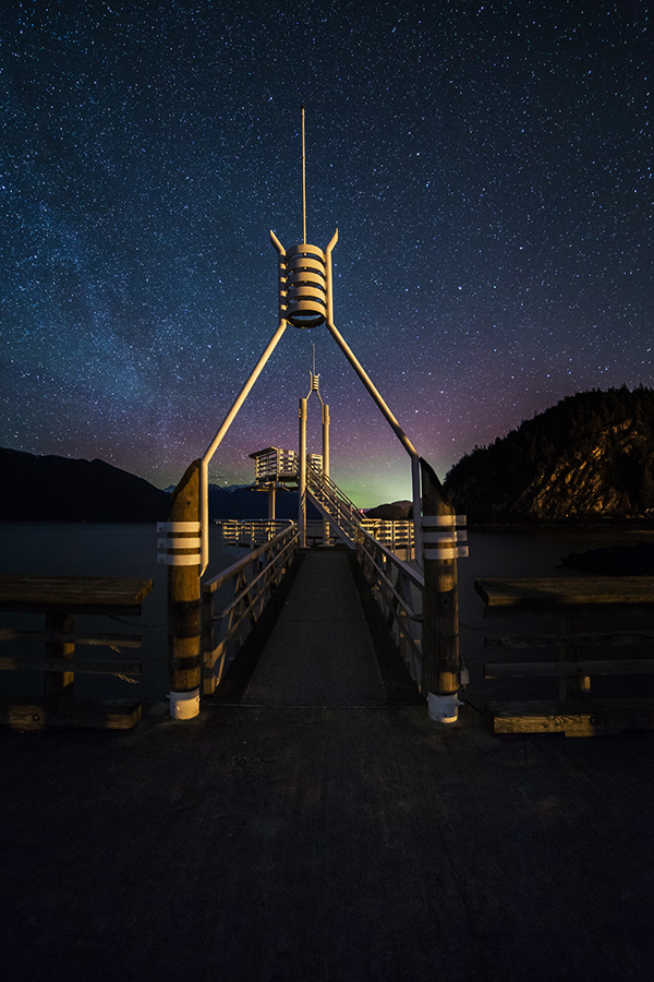
Light Stand
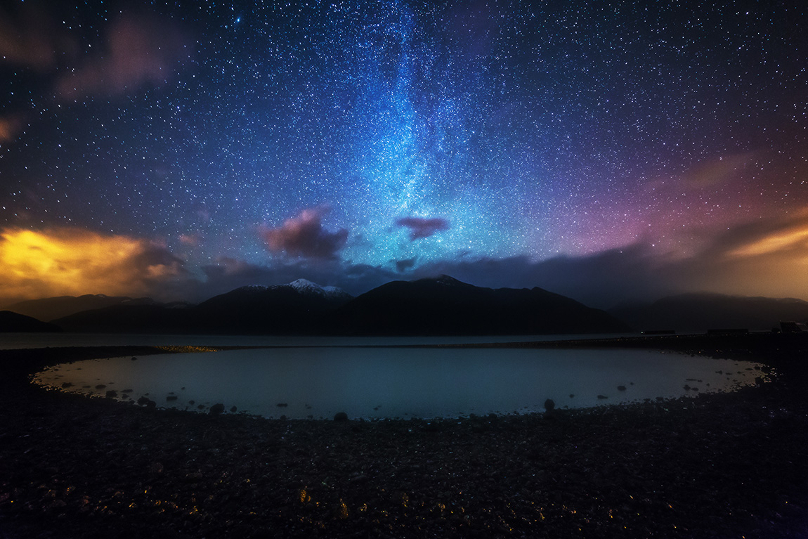
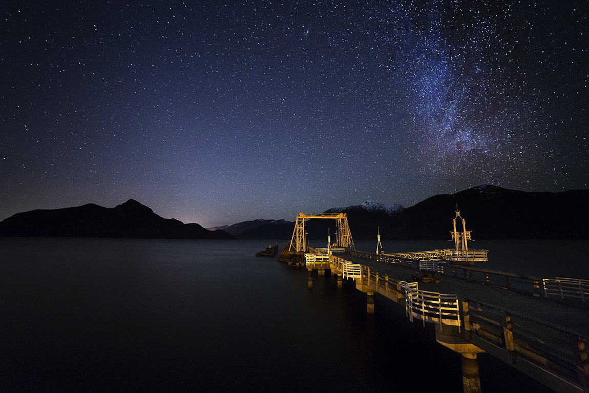
Porteau Cove Starscape
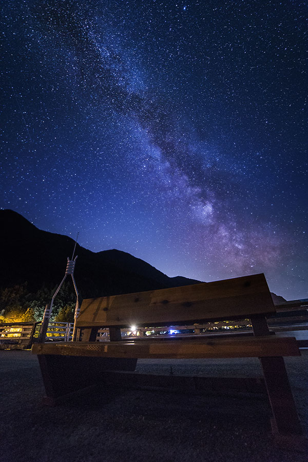
Waiting Bench
A Little Bits
Departure Time
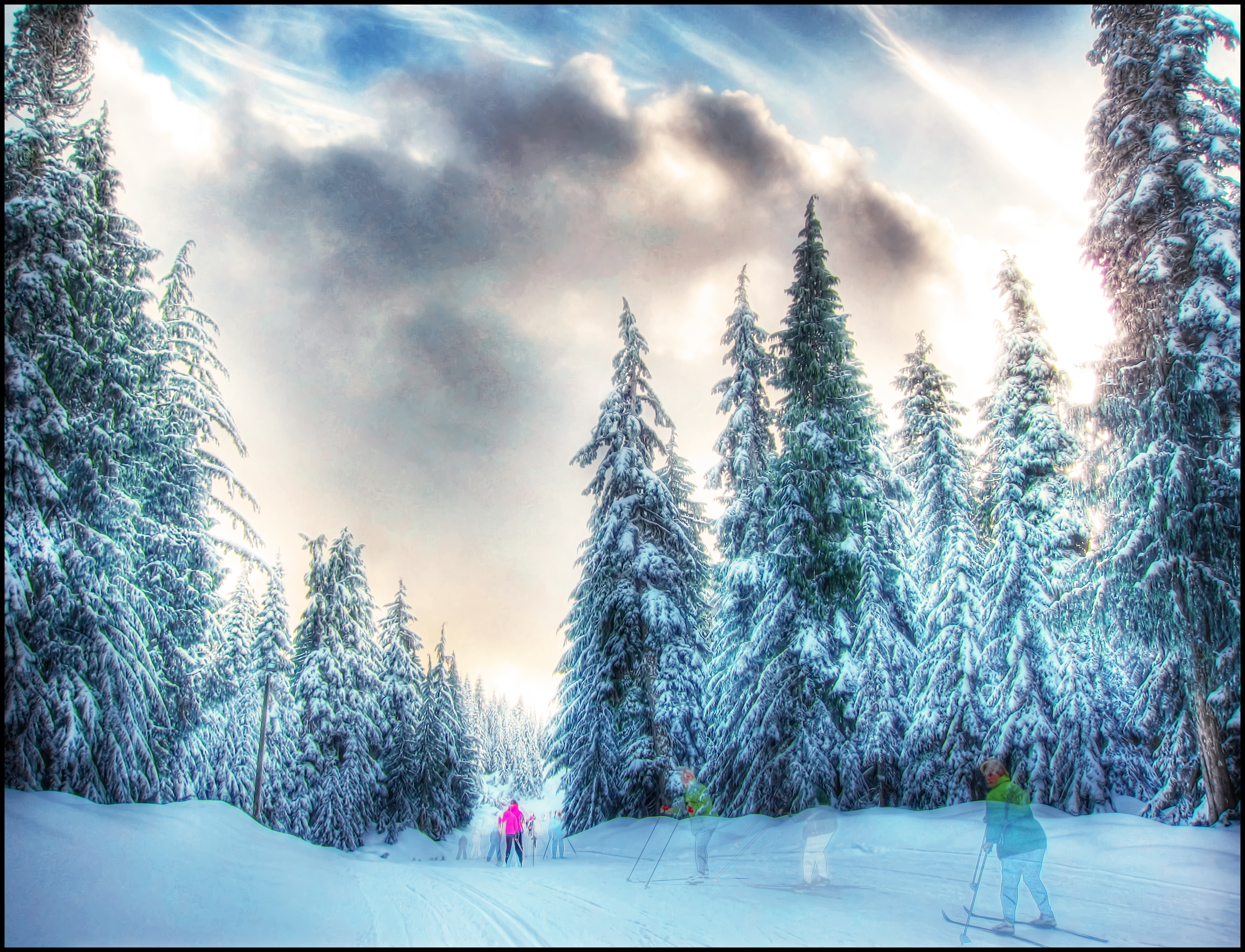
Winter, winter, everywhere
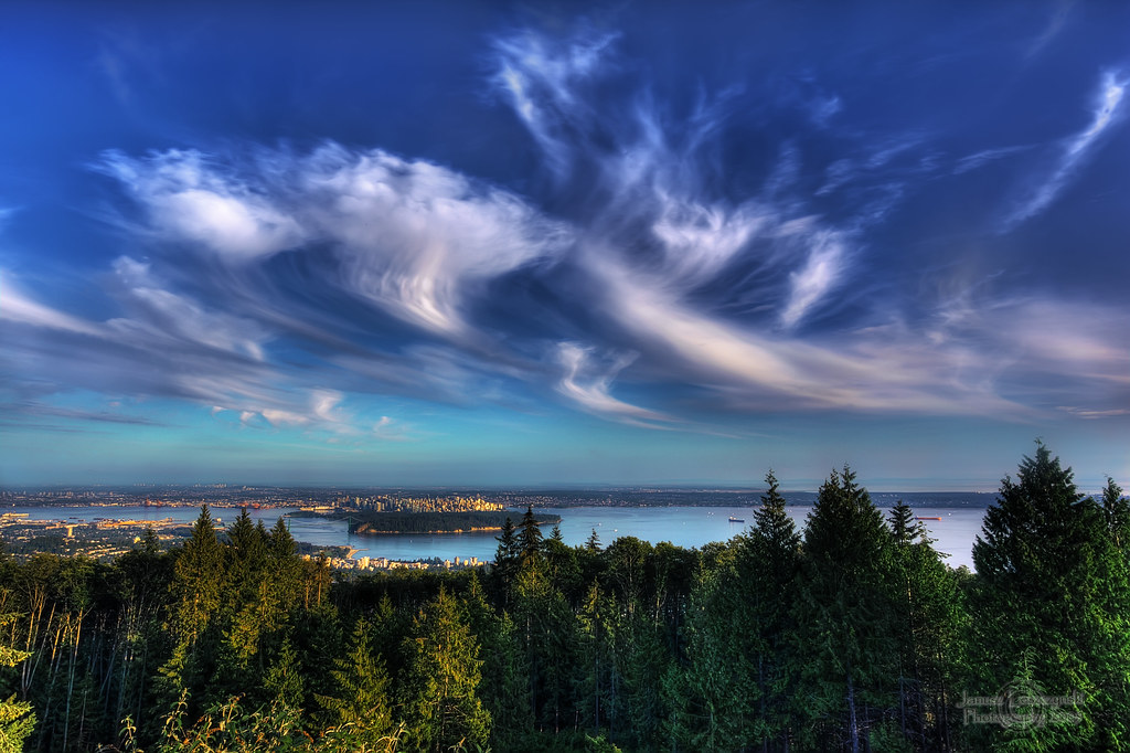
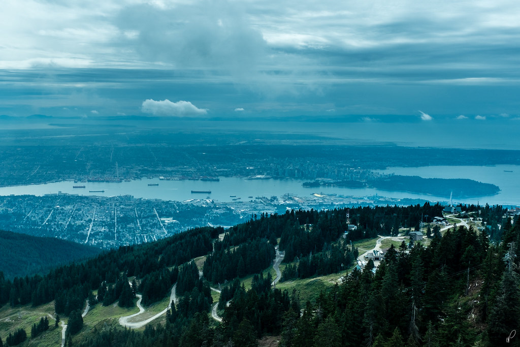
Vancouver - my city
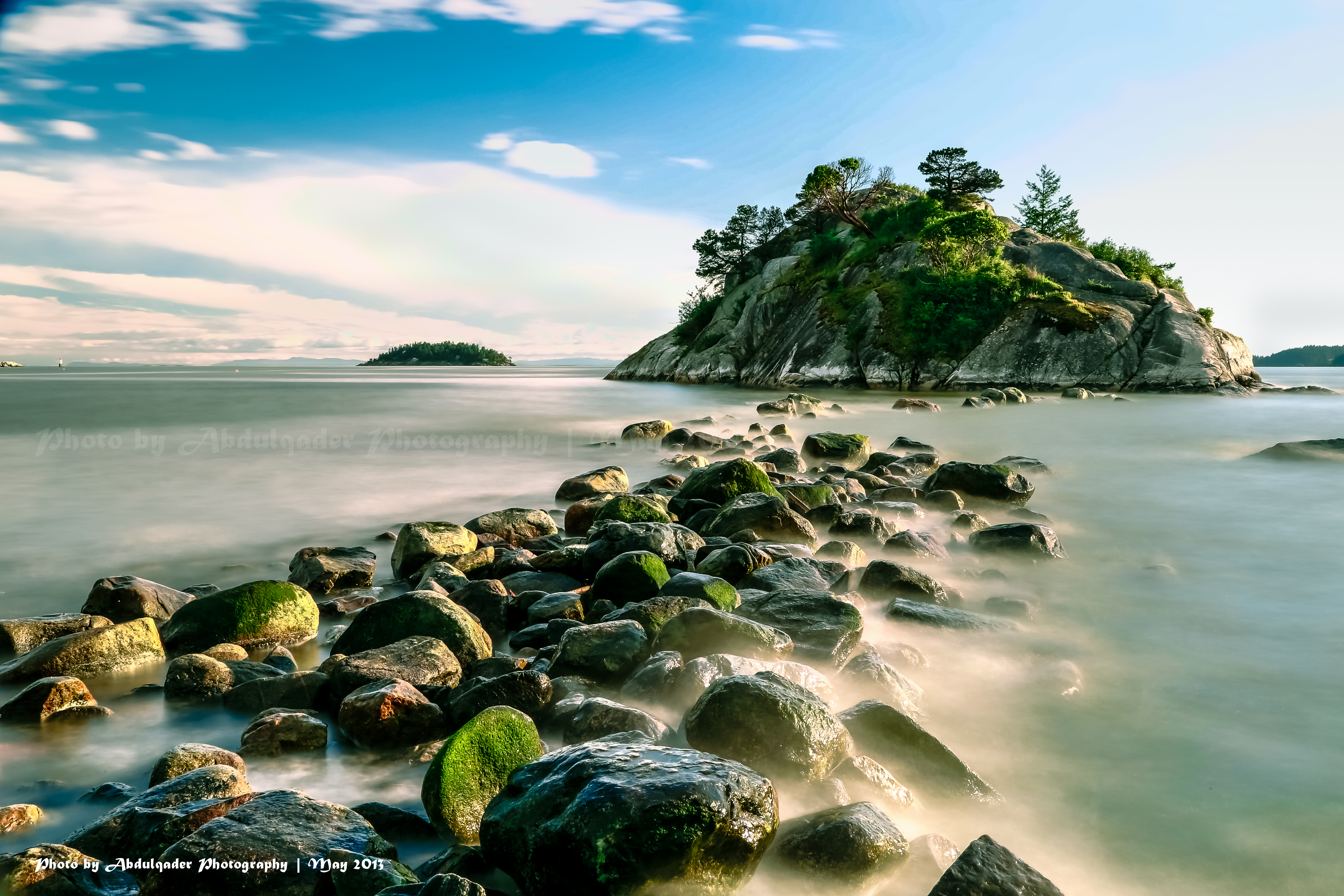
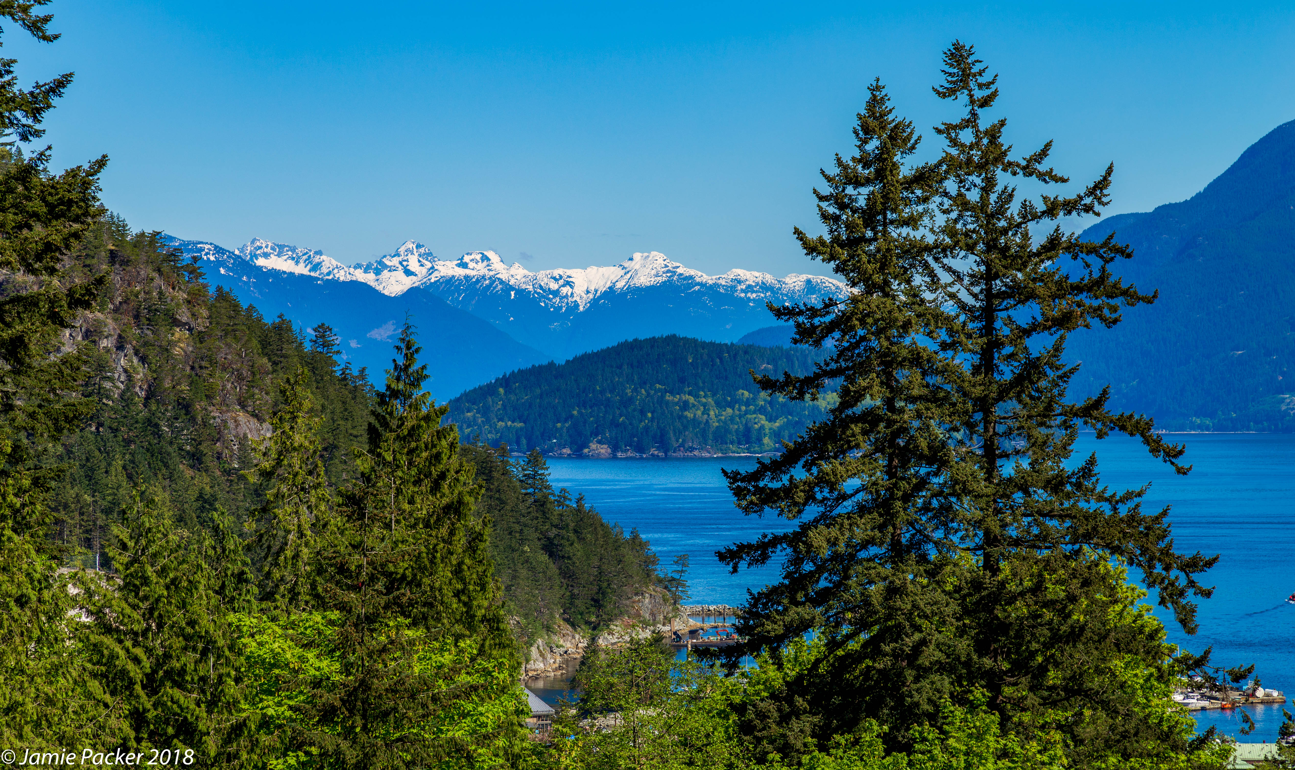
Beautiful View from Whytecliff Park in West Vancouver
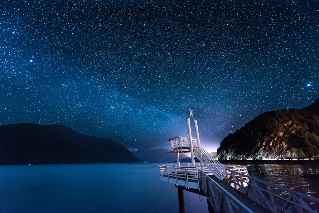
Galactic Ferry Terminal

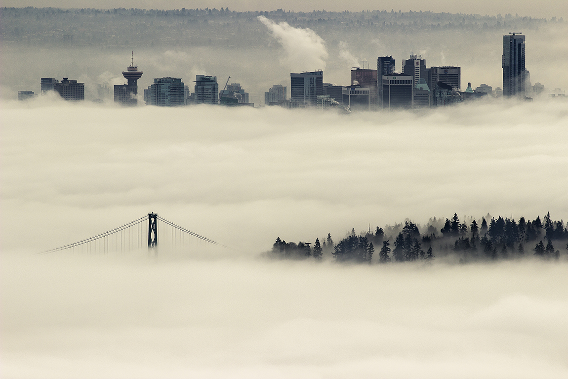
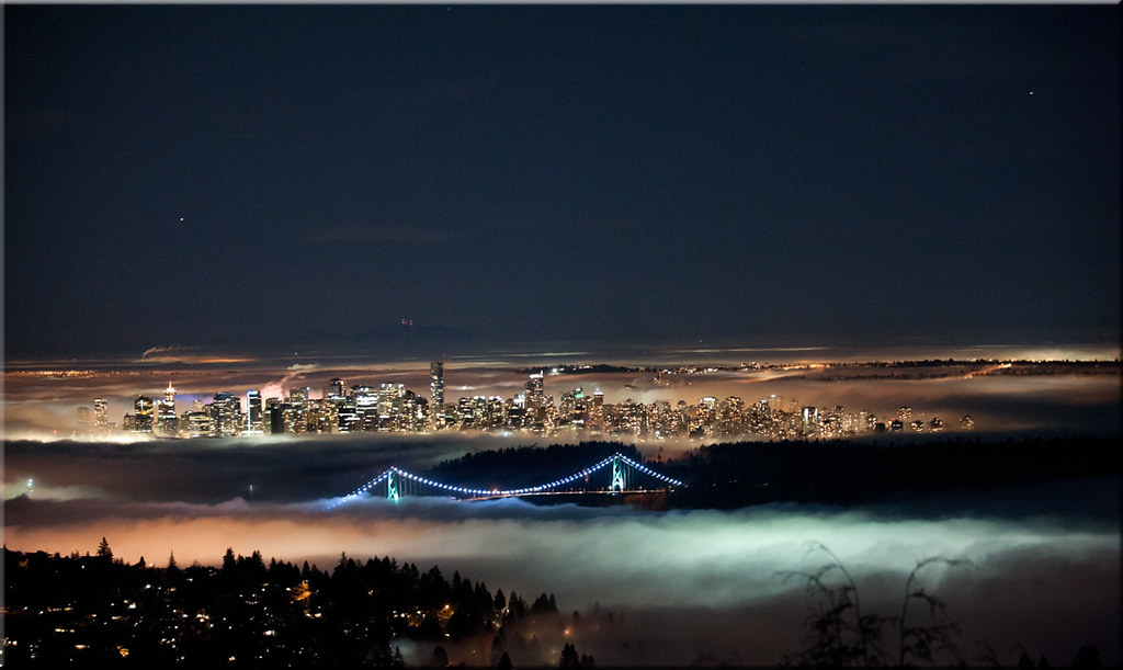
Vancouver under fog
Horseshoe Bay.jpg

British Columbia - Canada - Capilano Suspension Bridge Park - North Vancouver
magic night
Porteau Cove Panorama
Good morning, 2011!
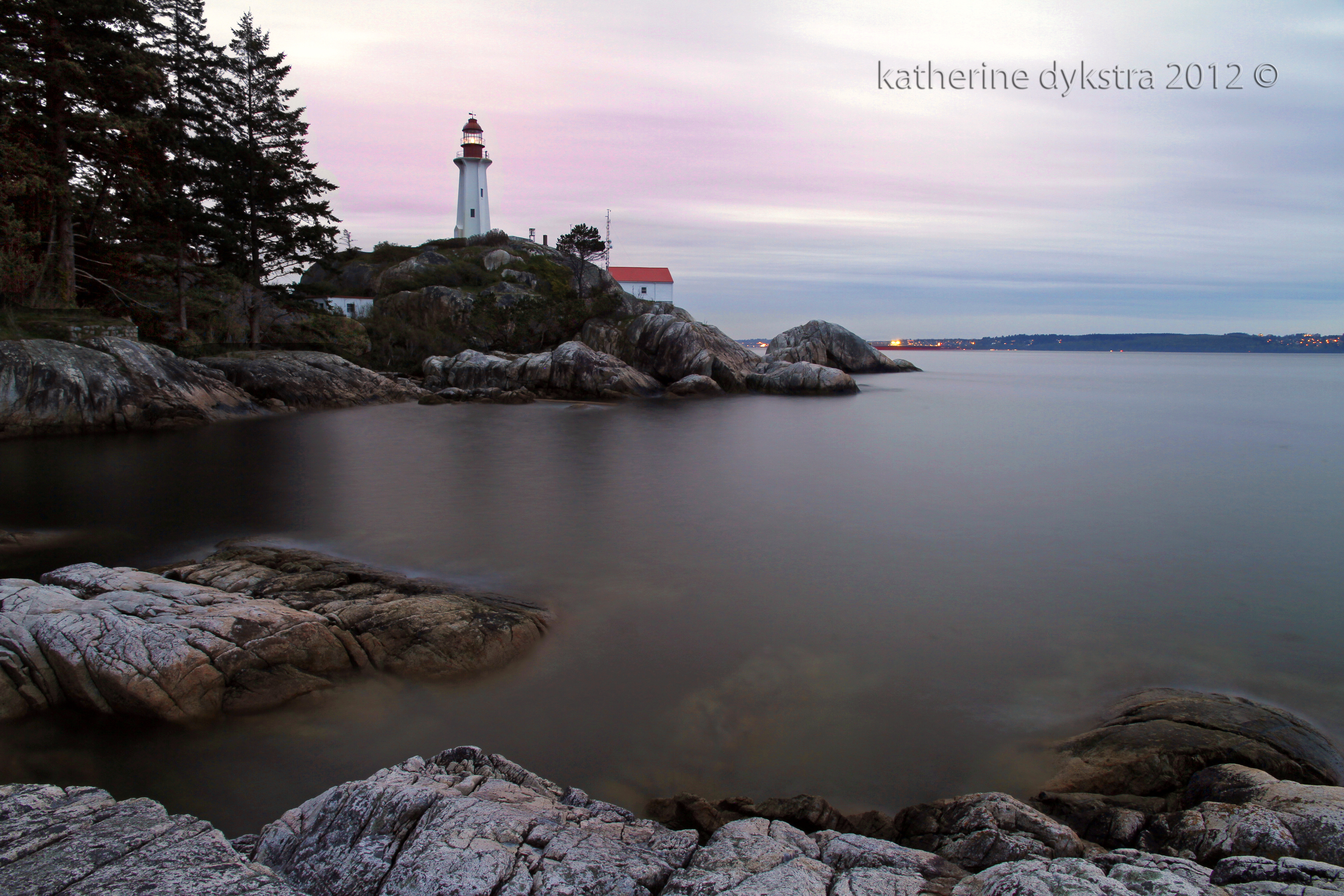
Lighthouse Park
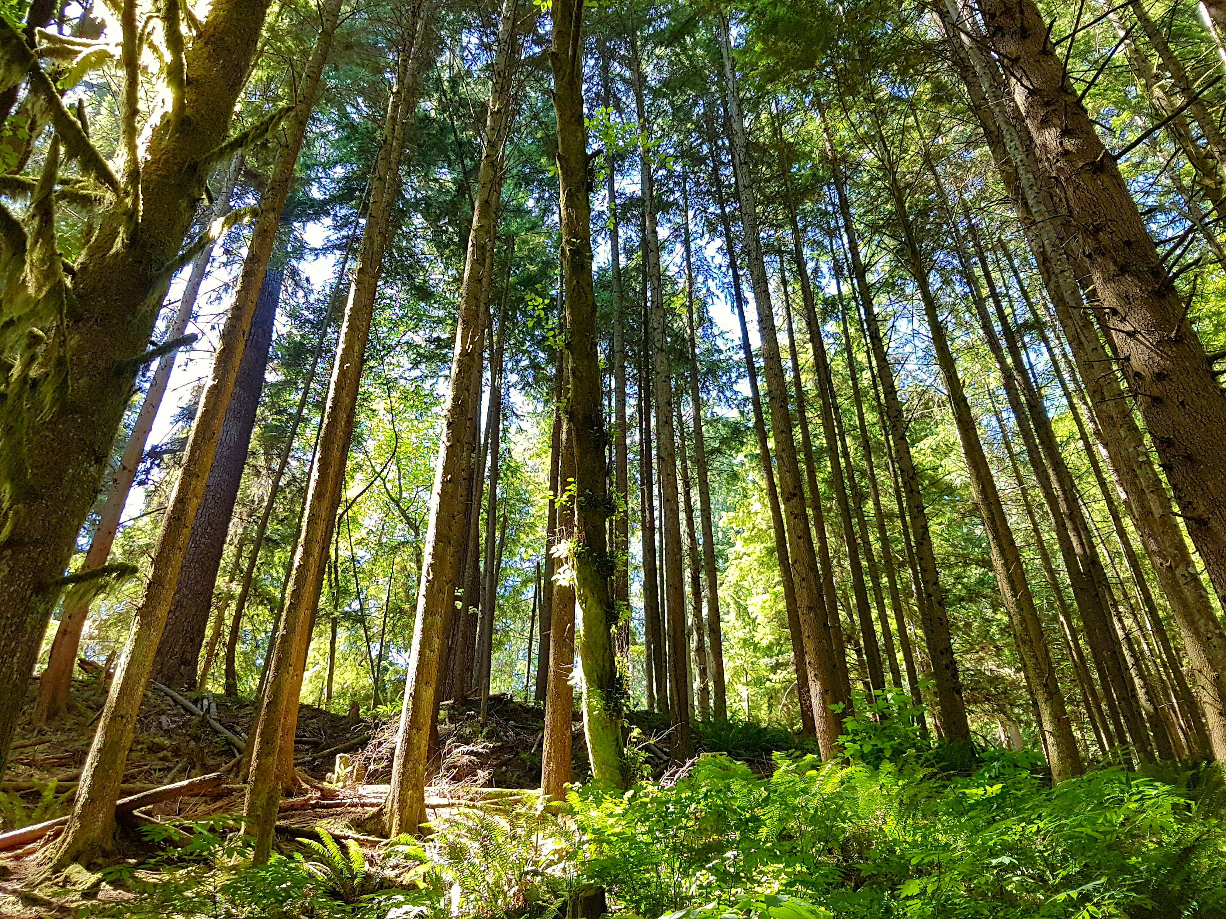
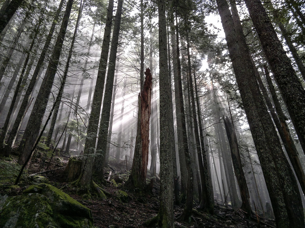
Trees on the slope above
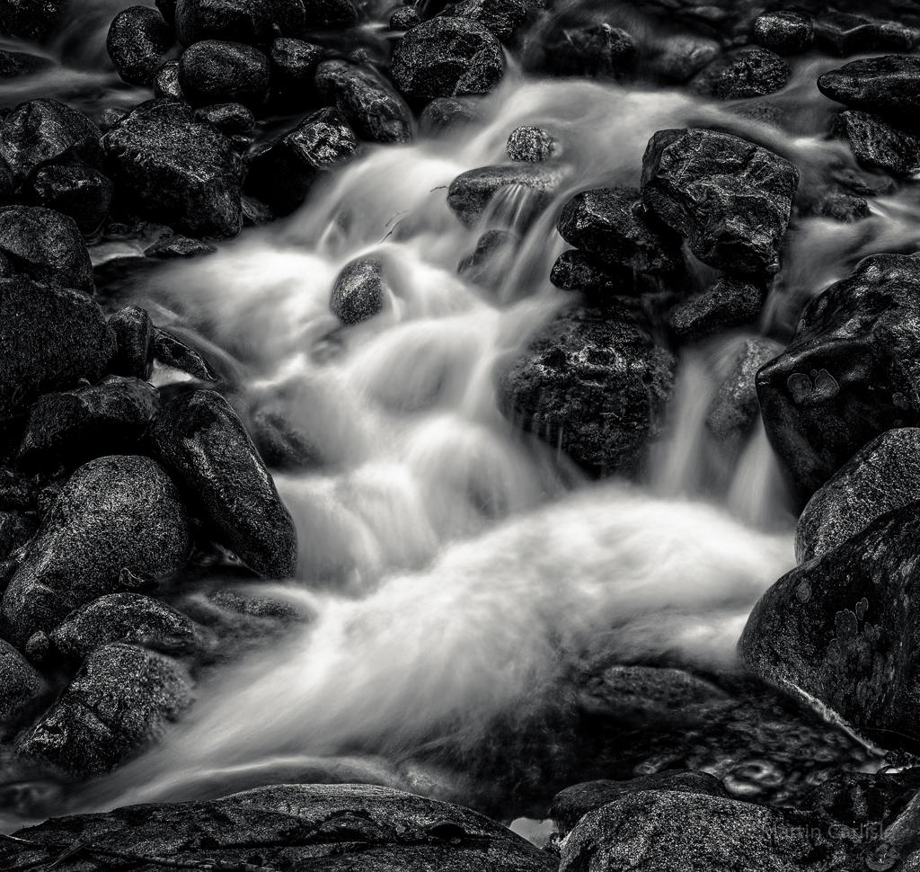
Lawson Creek
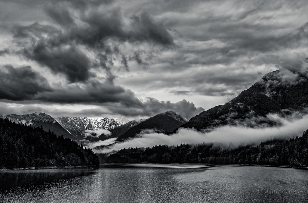
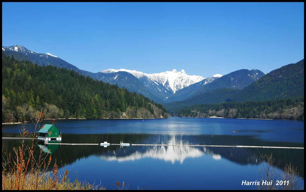
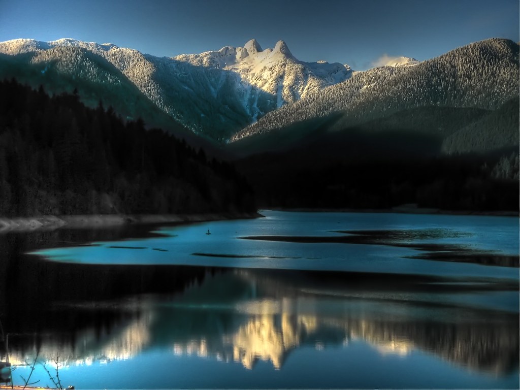
Capilano Lake, North Vancouver
Whytecliff Park 1
Canadian Coast

Standing Tall
Horseshoe Bay, British Columbia
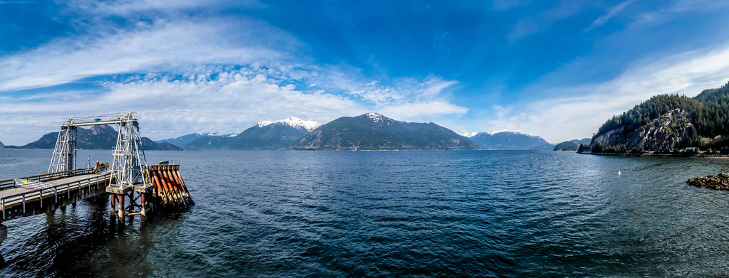
Howe Sound

Horseshoe Bay, British Columbia
I see the light come shining
A Late Afternoon...

Howe Sound Sunset - Explored

Anvil Island and the Howe Sound from Porteau Cove, BC
Sunset at Lighthouse Point, West Vancouver

The Long Way Home

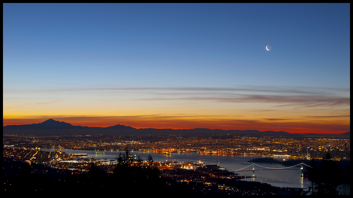
Vancouver and Mount Baker Volcano

The Long Way Home
Grouse [Explored]
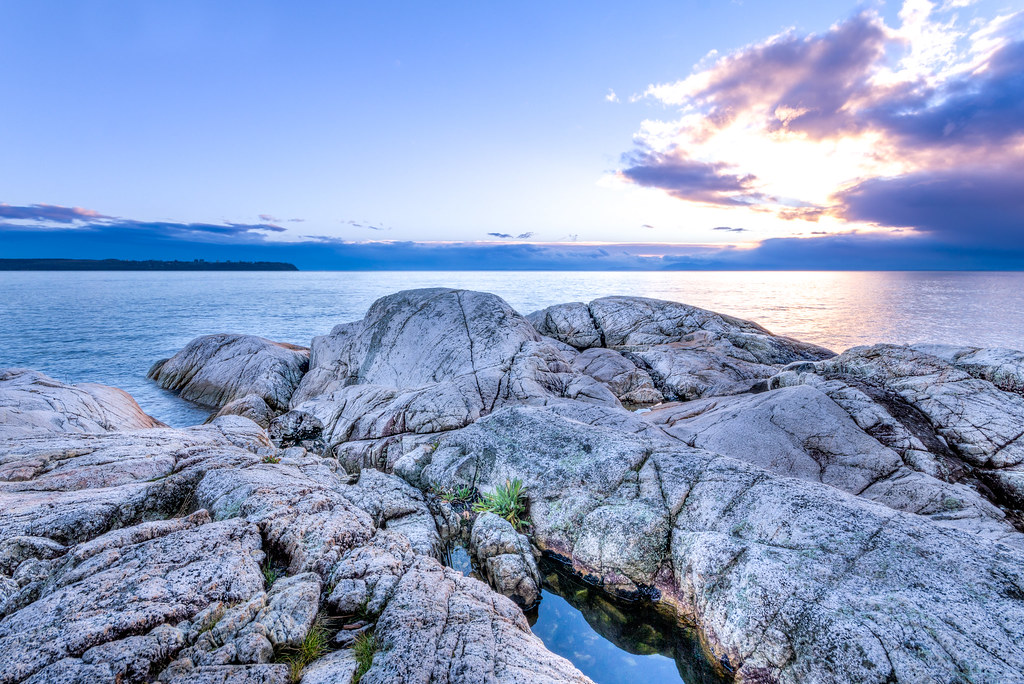
Lighthouse Park Outcropping
The Lions
Topographic Map of 80 Tidewater Way, Lions Bay, BC V0N, Canada
Find elevation by address:

Places near 80 Tidewater Way, Lions Bay, BC V0N, Canada:
Lions Bay Beach Park
Lions Bay
220 Mountain Dr
Bowyer Island
West Lion
Black Mountain
Cypress Mountain Ski Area
Cypress Mountain
1700 Old Eagle Cliff Rd
1700 Eagle Cliff Rd
1700 Eagle Cliff Rd
Bay Street Horseshoe Bay Terminus
1791 Eagle Cliff Rd
6329 Douglas St
Horseshoe Bay
1588 Eagle Cliff Rd
West Vancouver
267 Smugglers Cove Rd
6438 Rosebery Ave
4703 Woodley Dr
Recent Searches:
- Elevation of Corso Fratelli Cairoli, 35, Macerata MC, Italy
- Elevation of Tallevast Rd, Sarasota, FL, USA
- Elevation of 4th St E, Sonoma, CA, USA
- Elevation of Black Hollow Rd, Pennsdale, PA, USA
- Elevation of Oakland Ave, Williamsport, PA, USA
- Elevation of Pedrógão Grande, Portugal
- Elevation of Klee Dr, Martinsburg, WV, USA
- Elevation of Via Roma, Pieranica CR, Italy
- Elevation of Tavkvetili Mountain, Georgia
- Elevation of Hartfords Bluff Cir, Mt Pleasant, SC, USA