Elevation of 80 Christmas Rd, Montgomery Center, VT, USA
Location: United States > Vermont > Franklin County > Montgomery > Montgomery Center >
Longitude: -72.542474
Latitude: 44.884775
Elevation: 407m / 1335feet
Barometric Pressure: 97KPa
Elevation Map:
Satellite Map:
Related Photos:
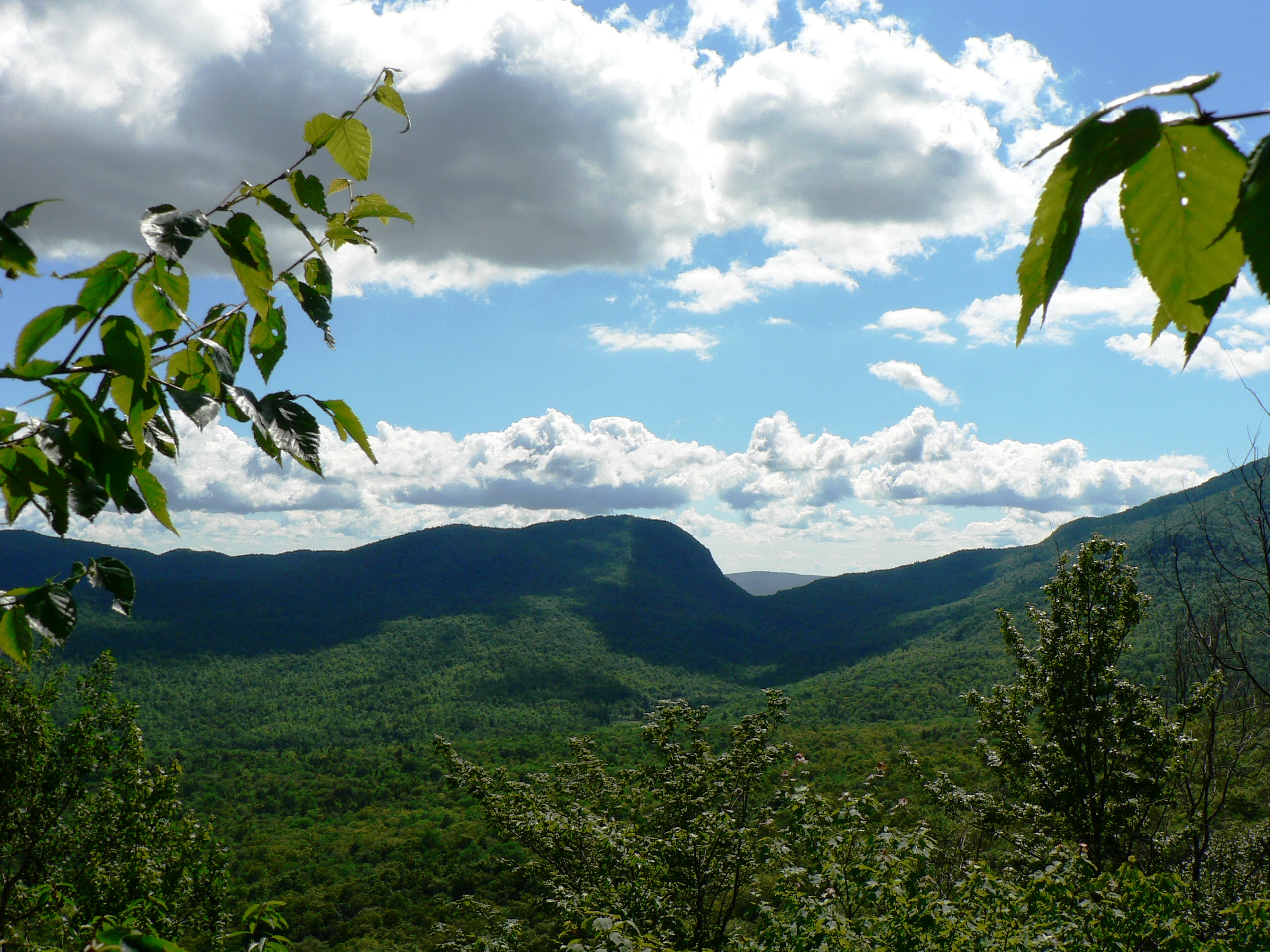
Cabin View

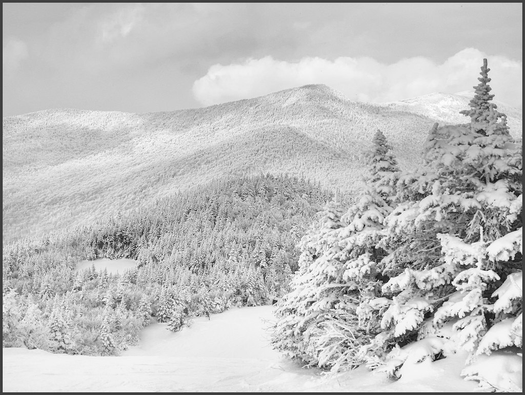
Mountain View
ullr's dream
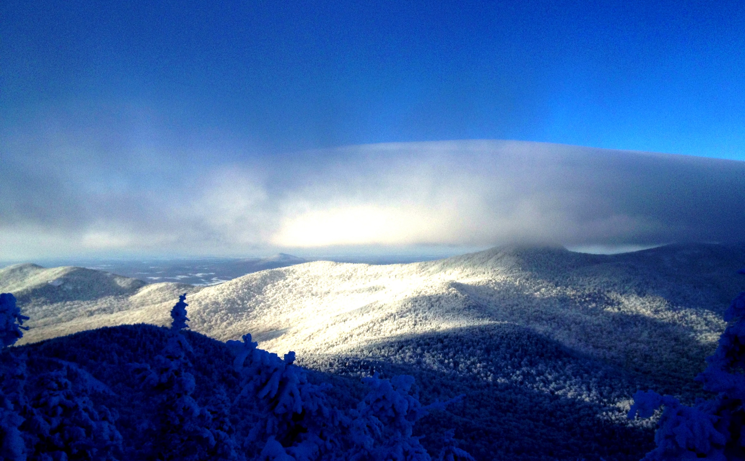
Late Afternoon View

View from our Golf Cottage at Jay Peak

Big Falls

Belvedere tower view southwest

Cabin View Outside

Rachy, with the view north into Canada
Belvedere tower view east & north

The View

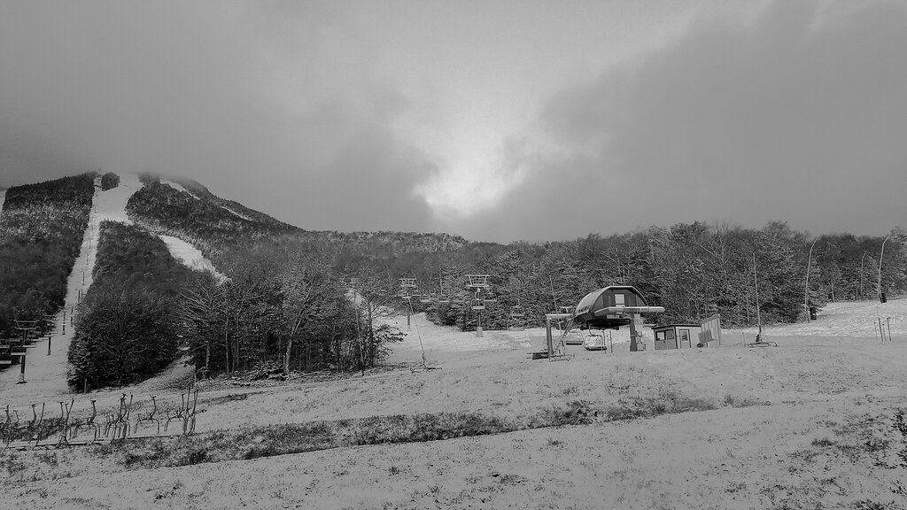
Journey's End BW

Belvedere tower view south & east

Sit here, be here.
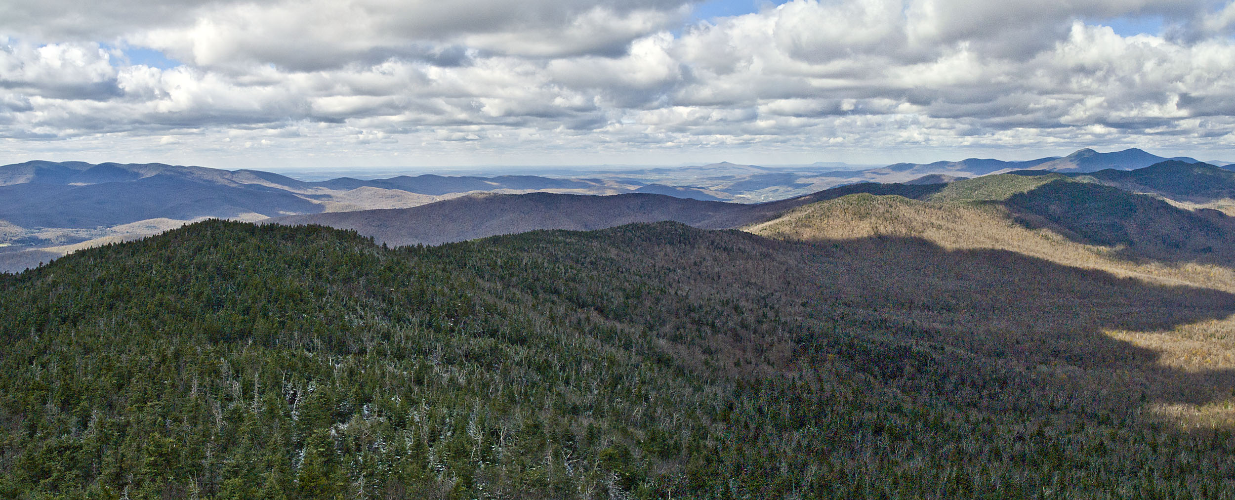
Belvedere tower view northwest
Looking out towards #BigJay from the summit of @jaypeakresort is one of the best views in #Vermont. Join us this weekend and shred one of the biggest and best mountains in the east coast. Check for more info about this epic trip at #OvRride .com #DontMiss
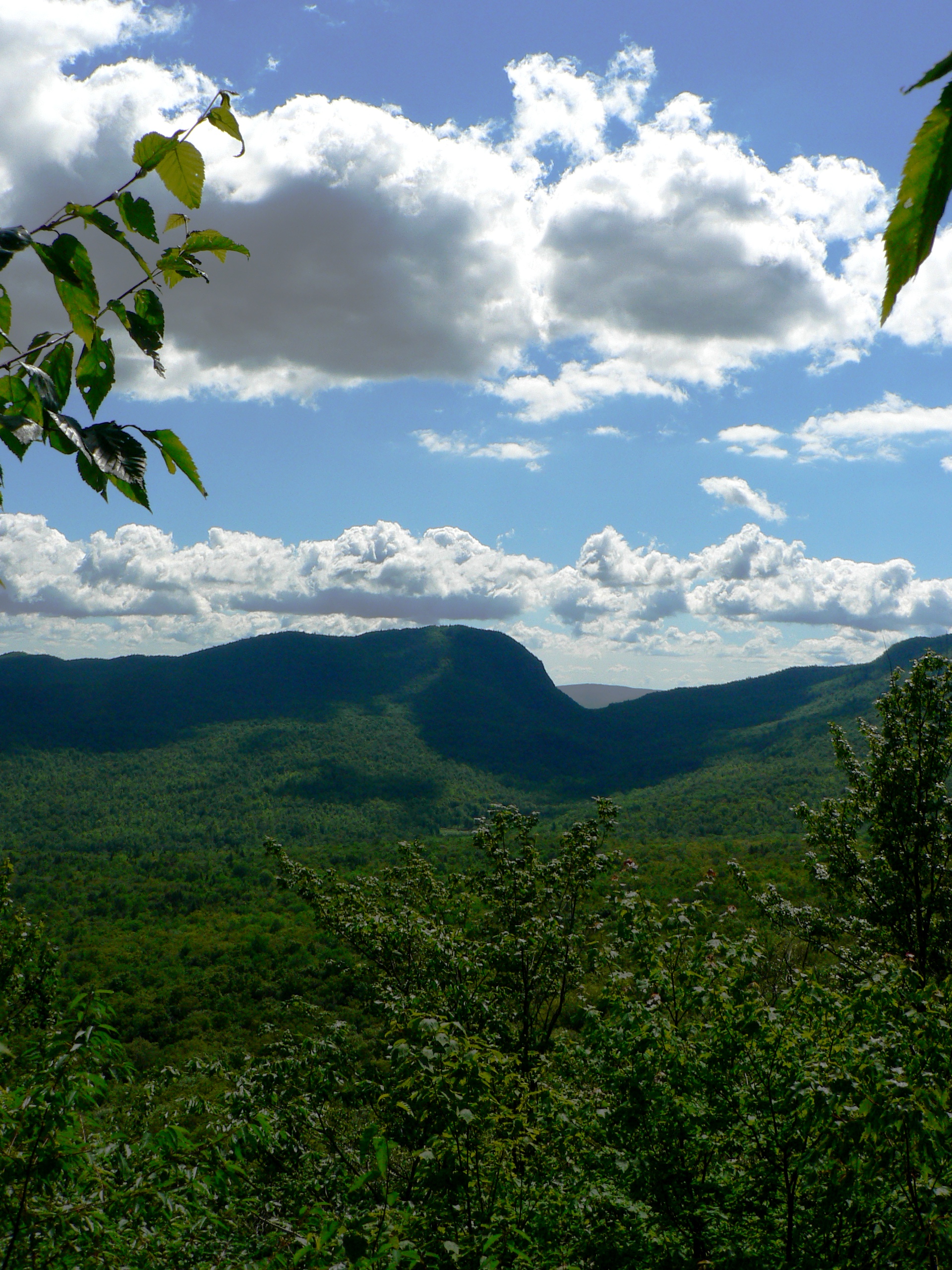
Notch View 2
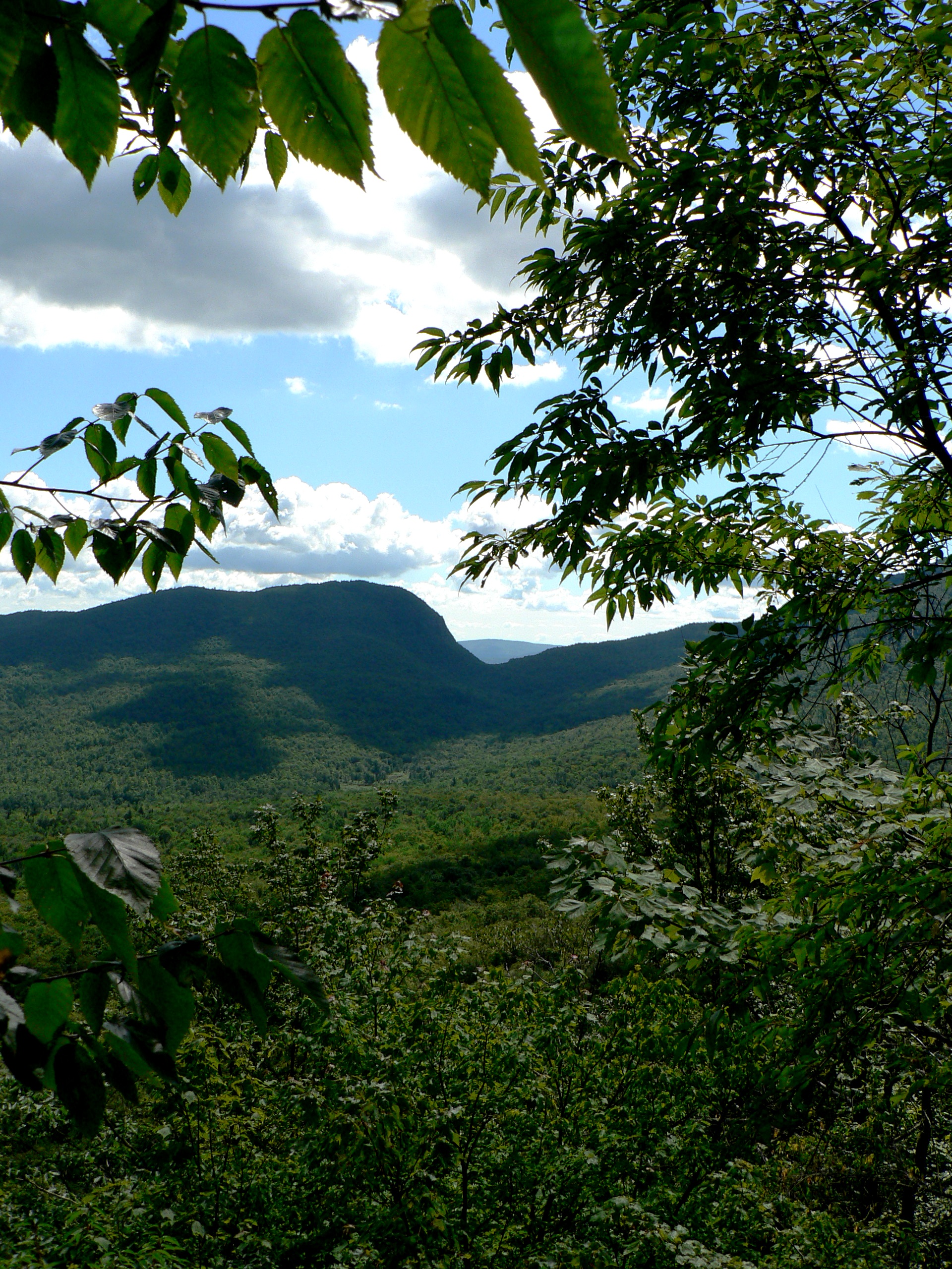
Notch View
Notch View 3
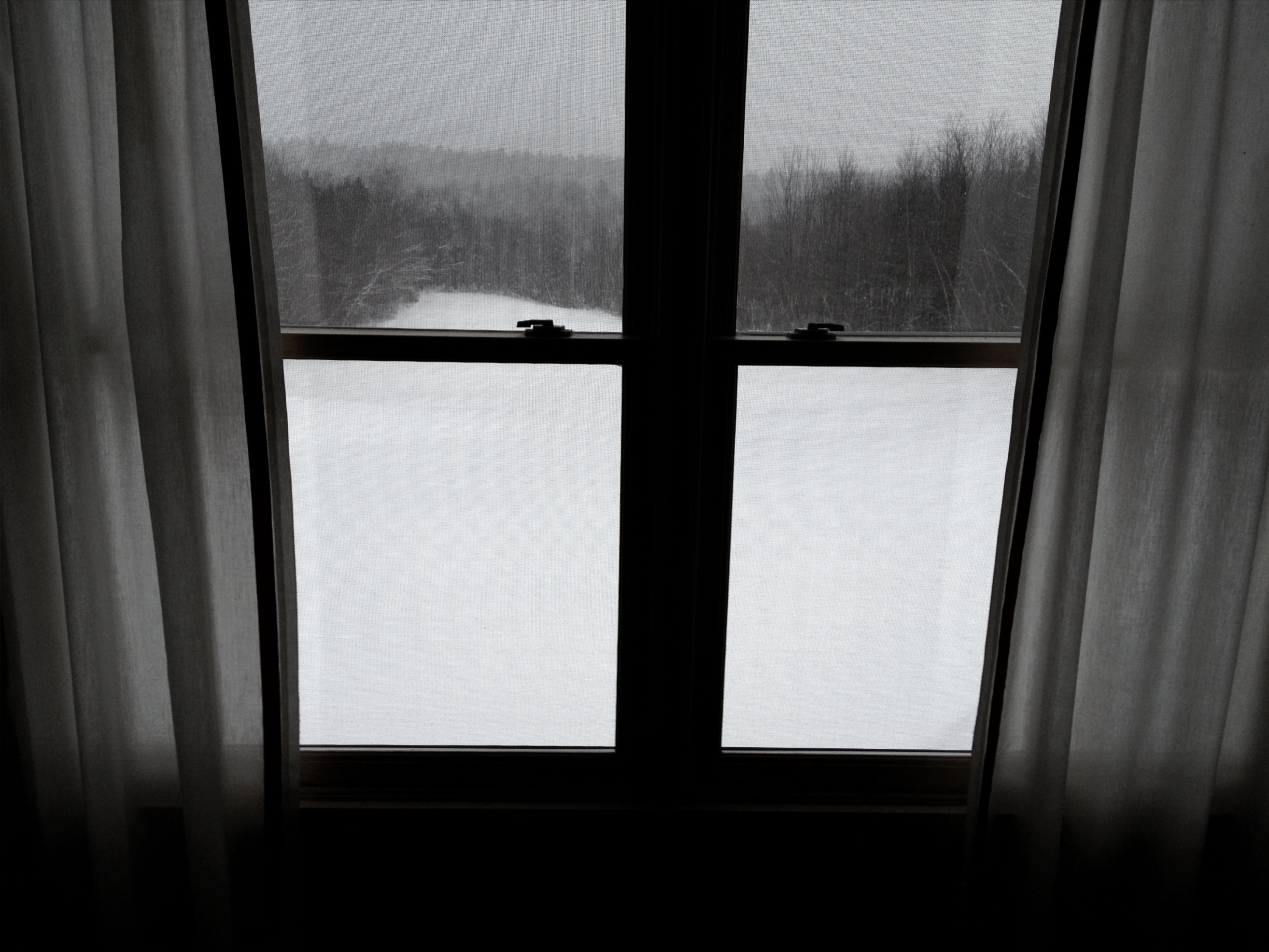
View from our room
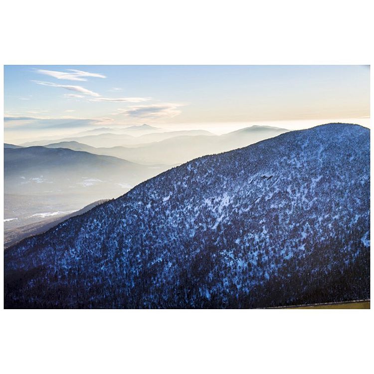
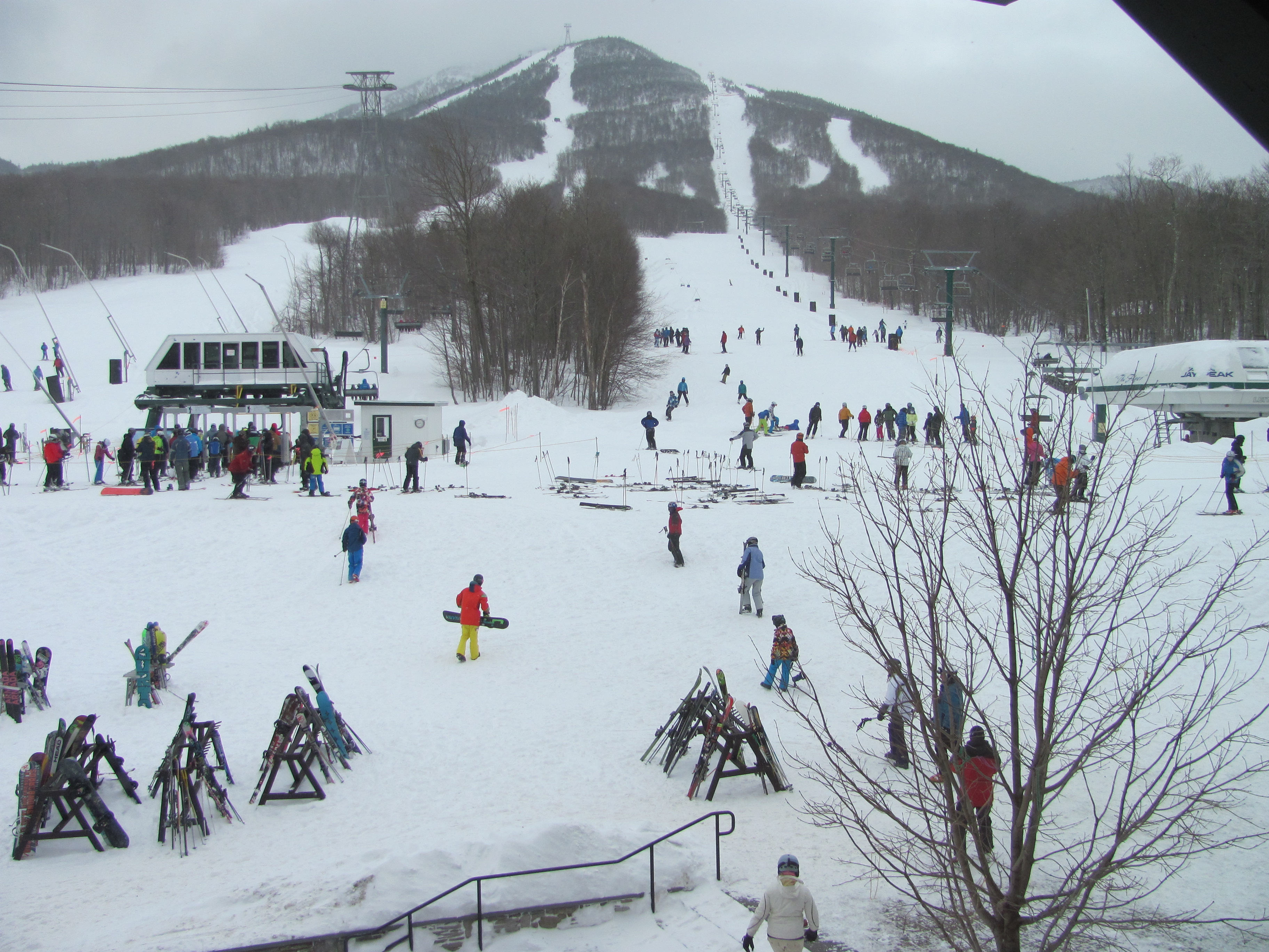
Jay Peak, VT

The lake

Trammin' #whpshiftingseasons #jaypeak

jaypeak-0479.jpg
Purple Flare On Purpose #whpshiftingseasons #jaypeak
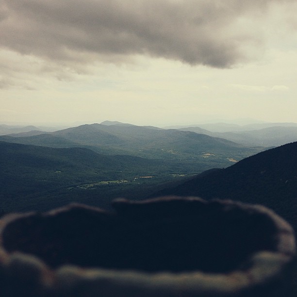
The Crater and the Storm
#Vermont. Getting back to #nature for a few days does the #soul well! #autumn #trees #hiking #outdoors pic by @mia_tidwell
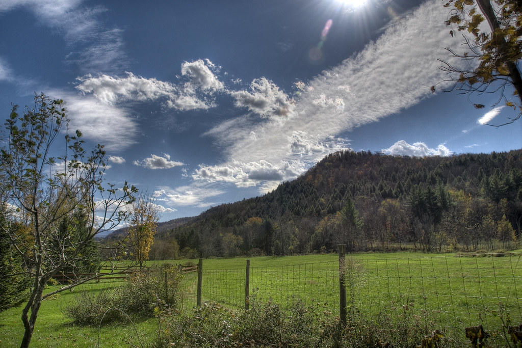
glorious day
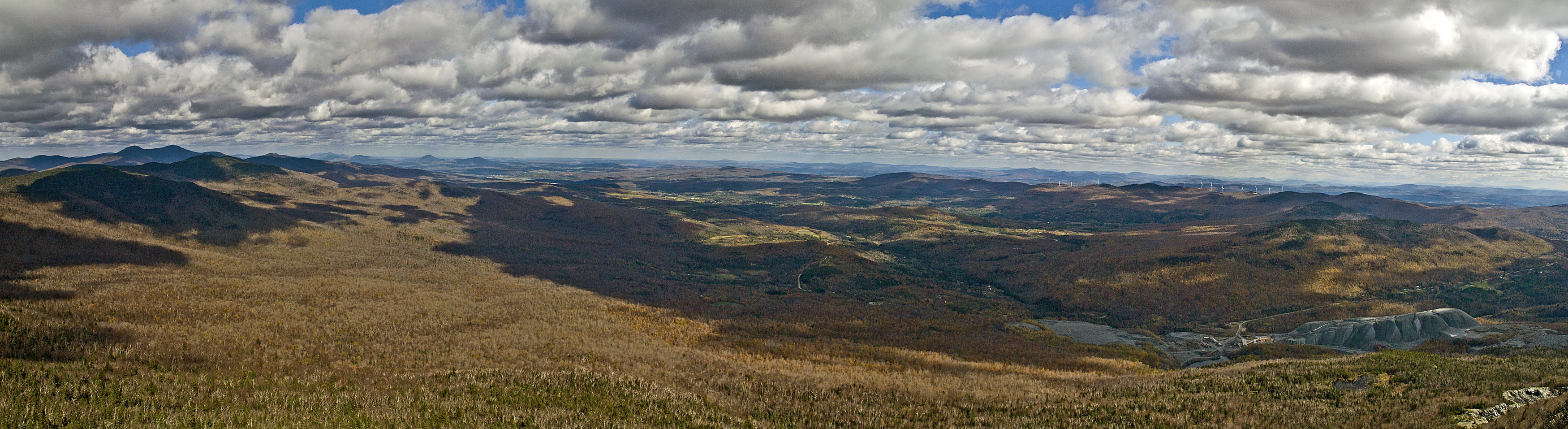
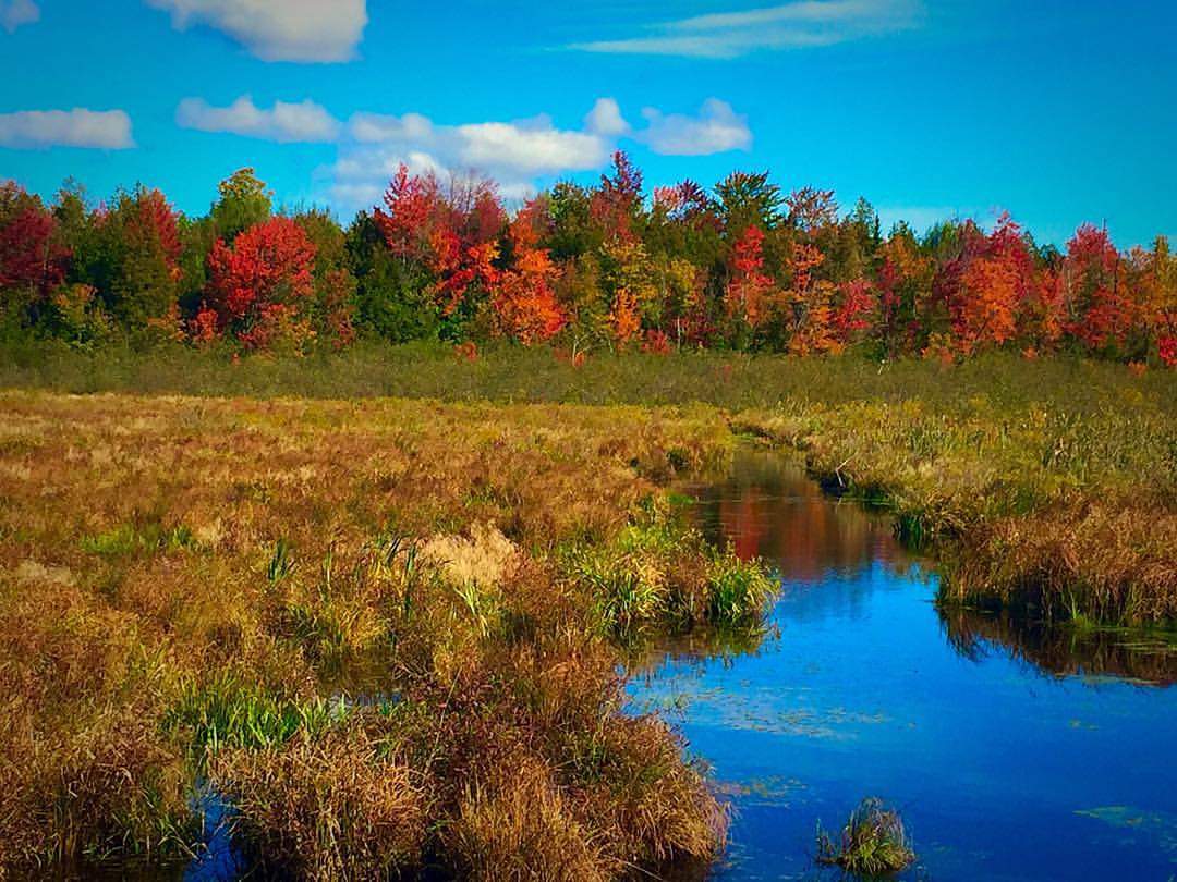
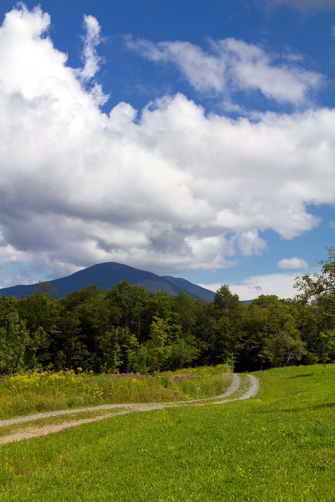
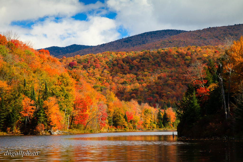
Fall Foliage in Vermont
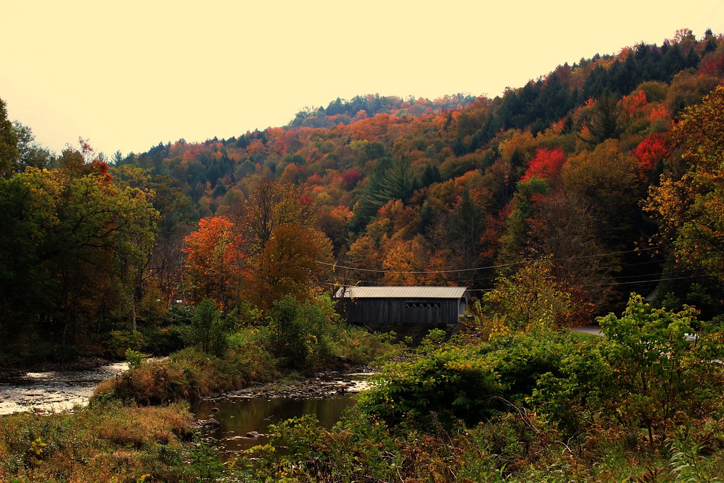
Comstock Covered Bridge
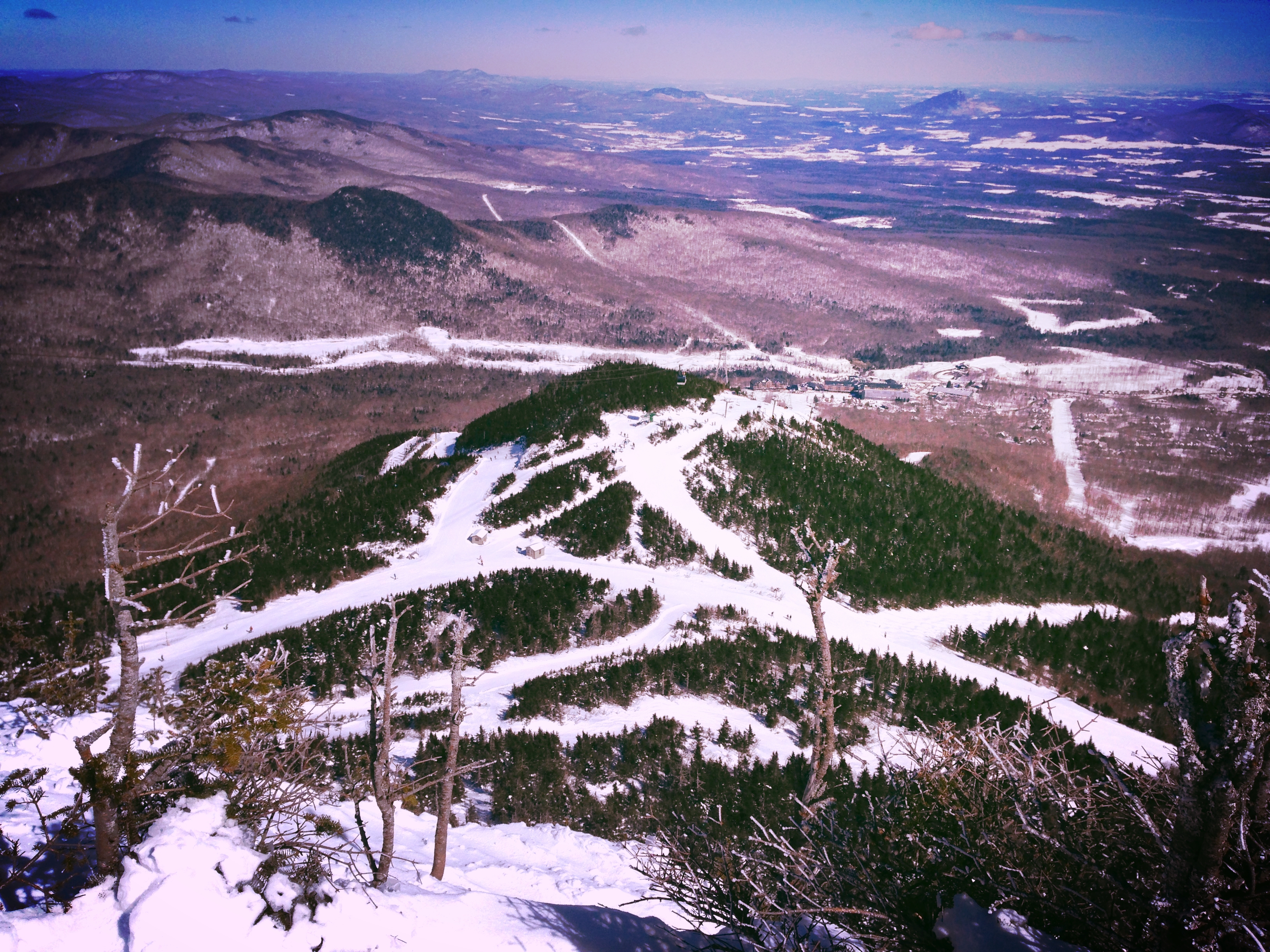
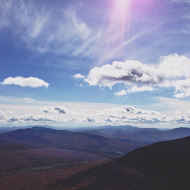
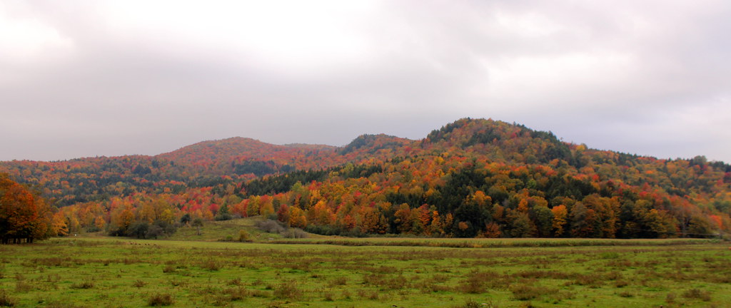
Summit of Jay

IMG_1993.jpg
high meadow trail.
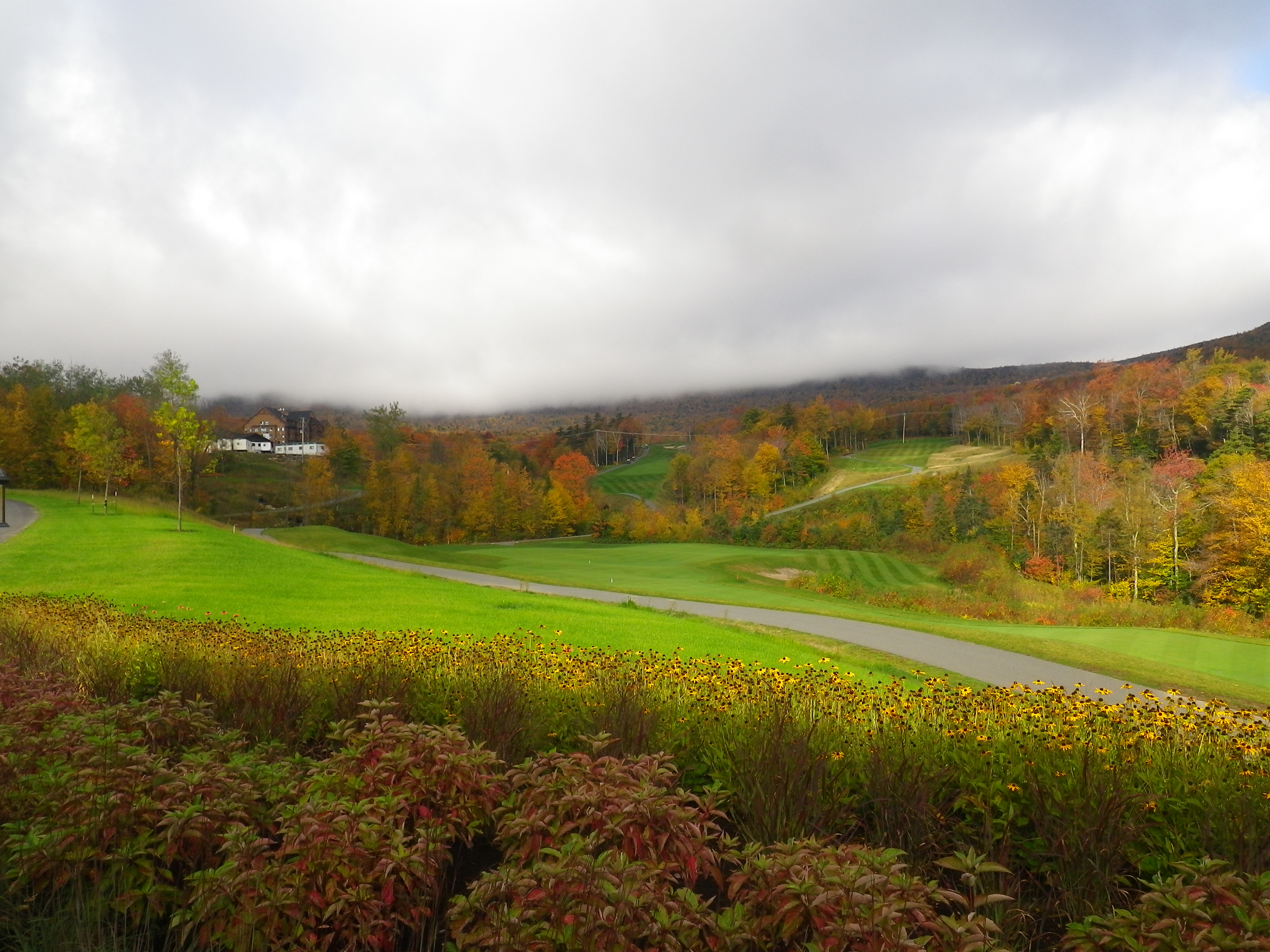
Fall at Jay Peak Golf Course
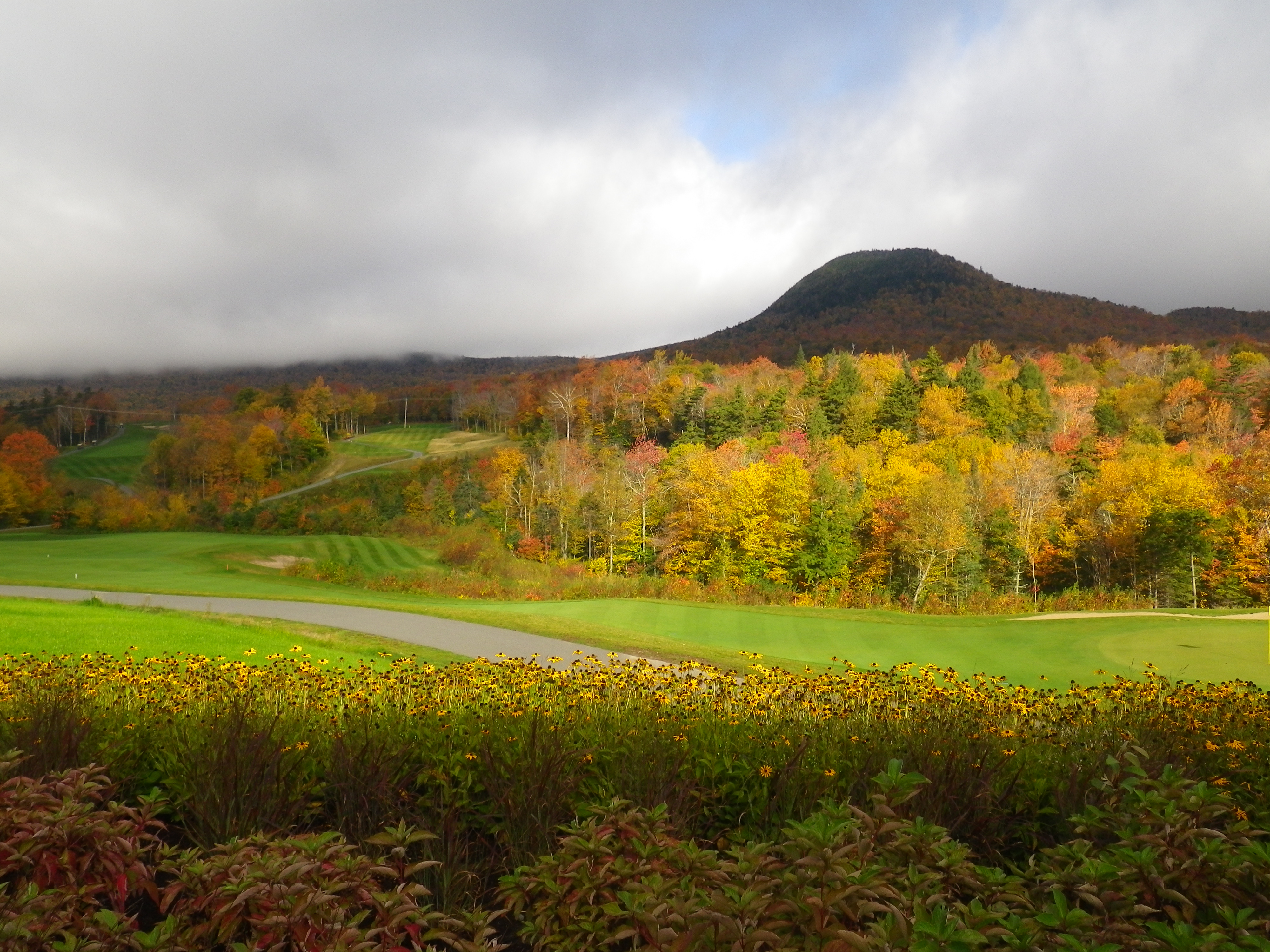
Fall at Jay Peak Golf Course

Jay Peak
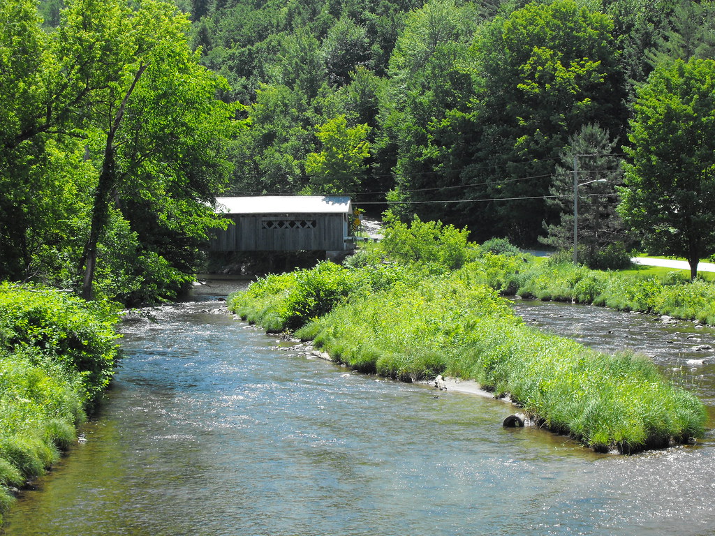
Comstock Covered Bridge in Vermont
Looking into Color

IMG_9509.jpg
Topographic Map of 80 Christmas Rd, Montgomery Center, VT, USA
Find elevation by address:

Places near 80 Christmas Rd, Montgomery Center, VT, USA:
2145 Mountain Rd
3304 Hazens Notch Rd
1761 Regan Rd
21 Demar Rd, Montgomery Center, VT, USA
Jay Peak Resort
Montgomery Center
1409 N Hill Rd
Montgomery
122 Bessette Rd
3948 Hill West Rd
1439 Vt-100
1257 Vt-100
Westfield
VT-, Westfield, VT, USA
6 Wightman Hill Rd
W Hill Rd, Enosburg Falls, VT, USA
Prive Hill Rd, Richford, VT, USA
1036 S Richford Rd
1044 S Richford Rd
10 Woodpecker Loop
Recent Searches:
- Elevation of Corso Fratelli Cairoli, 35, Macerata MC, Italy
- Elevation of Tallevast Rd, Sarasota, FL, USA
- Elevation of 4th St E, Sonoma, CA, USA
- Elevation of Black Hollow Rd, Pennsdale, PA, USA
- Elevation of Oakland Ave, Williamsport, PA, USA
- Elevation of Pedrógão Grande, Portugal
- Elevation of Klee Dr, Martinsburg, WV, USA
- Elevation of Via Roma, Pieranica CR, Italy
- Elevation of Tavkvetili Mountain, Georgia
- Elevation of Hartfords Bluff Cir, Mt Pleasant, SC, USA