Elevation of 7 Provincial Trunk Hwy 59, Tolstoi, MB R0A 2E0, Canada
Location: Canada > Manitoba > Division No. 2 > Franklin >
Longitude: -96.808679
Latitude: 49.0748685
Elevation: 292m / 958feet
Barometric Pressure: 98KPa
Elevation Map:
Satellite Map:
Related Photos:
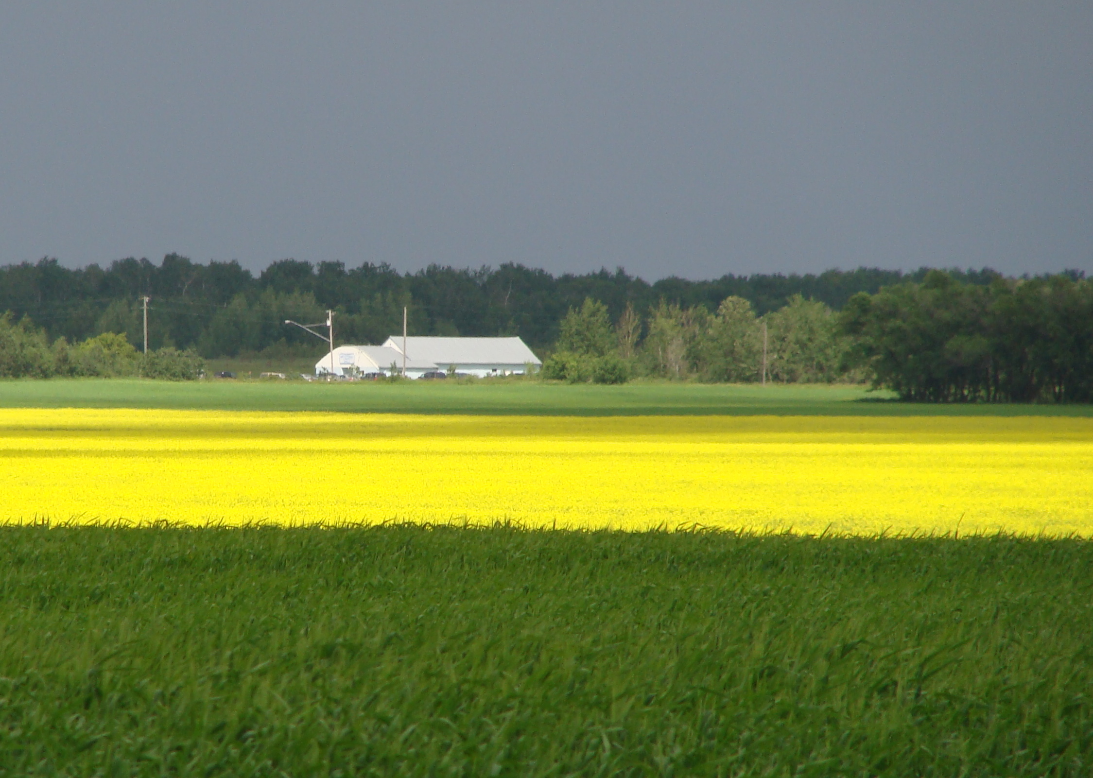
Yellow Horizon
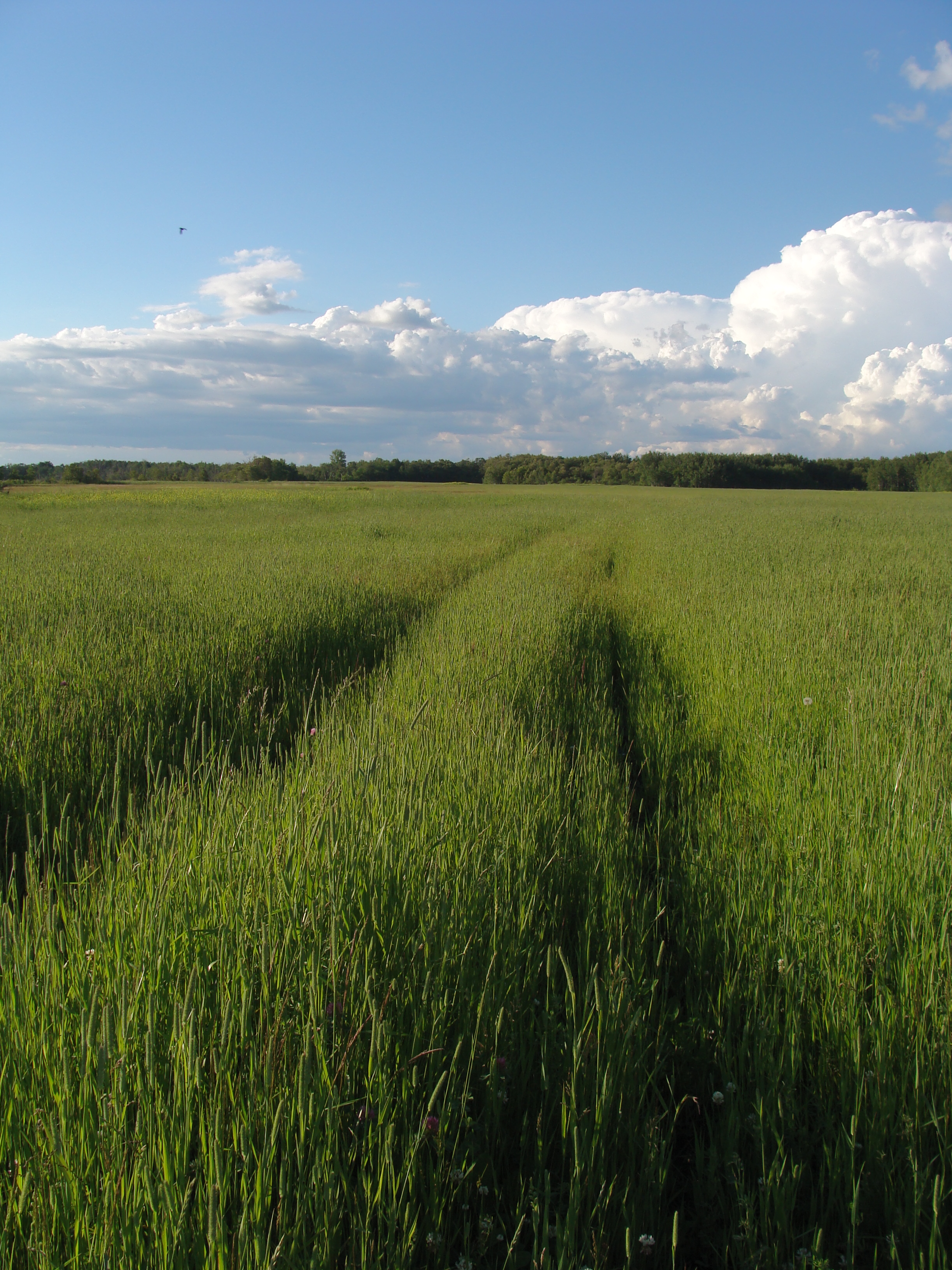
Old trails
Woodmore Hall
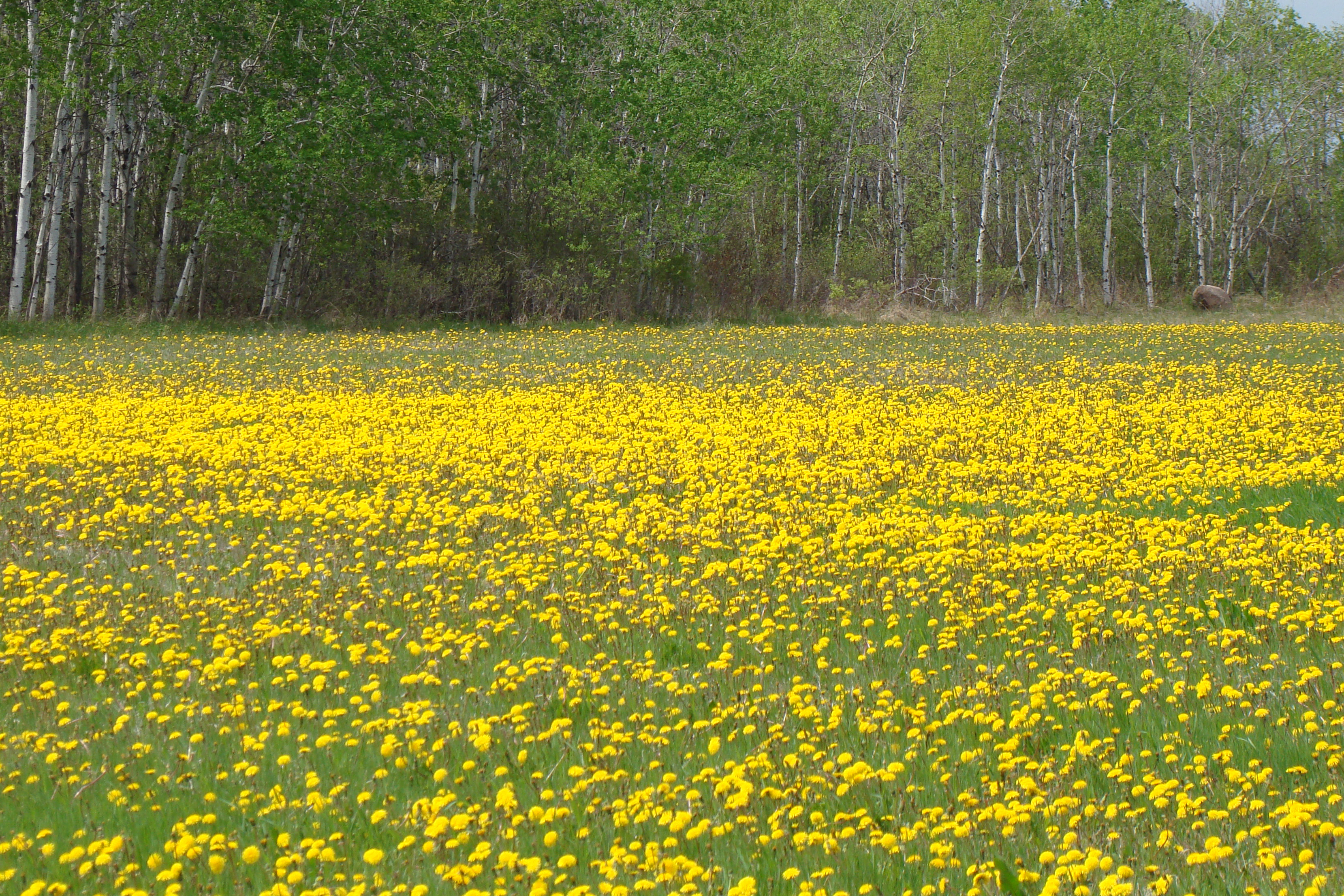
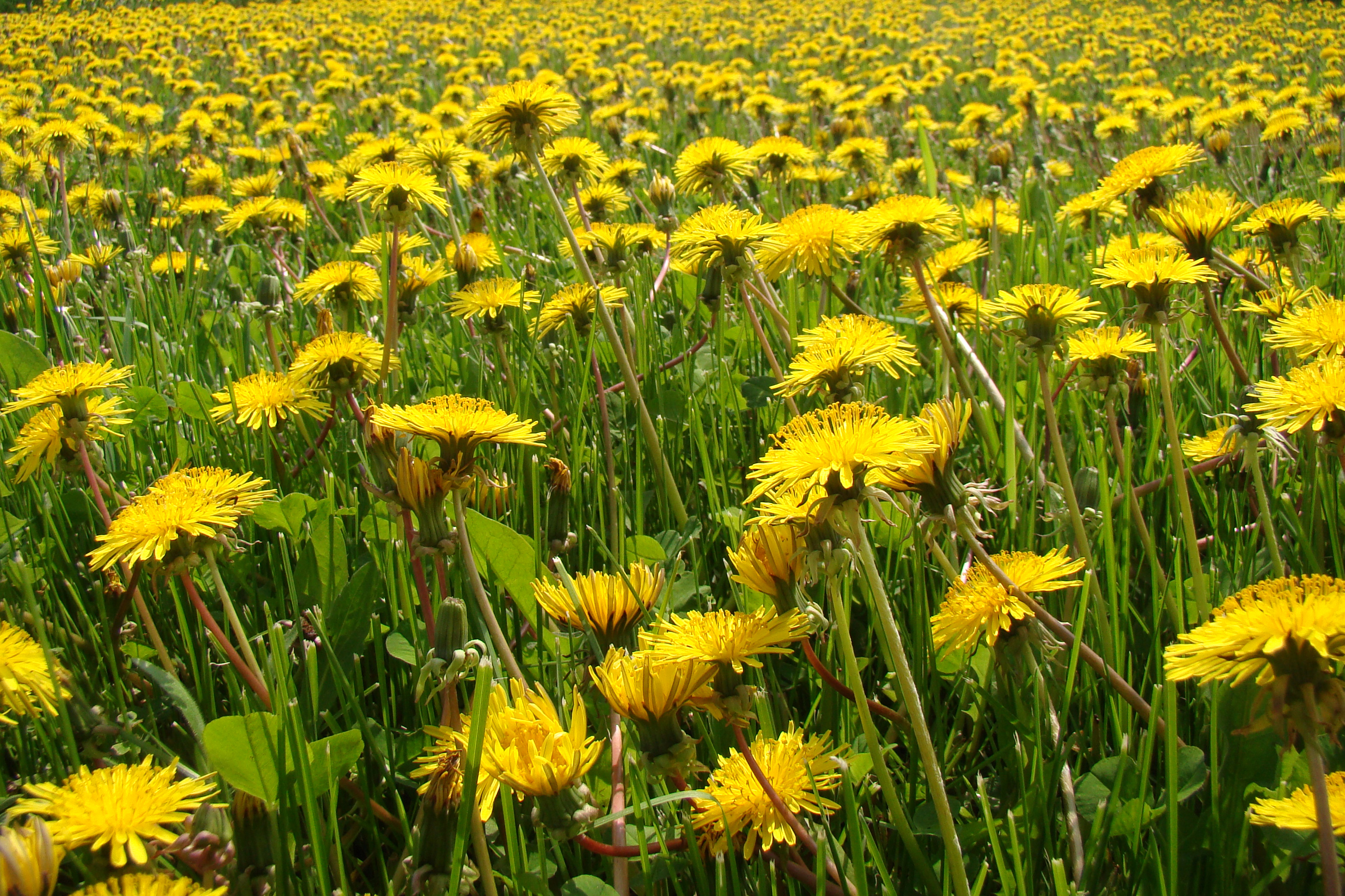
Field of Yellow

Sunny Winter Day

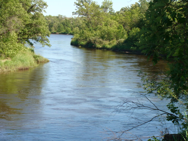
Roseau River
roseau river park july 09

The Autumn Years
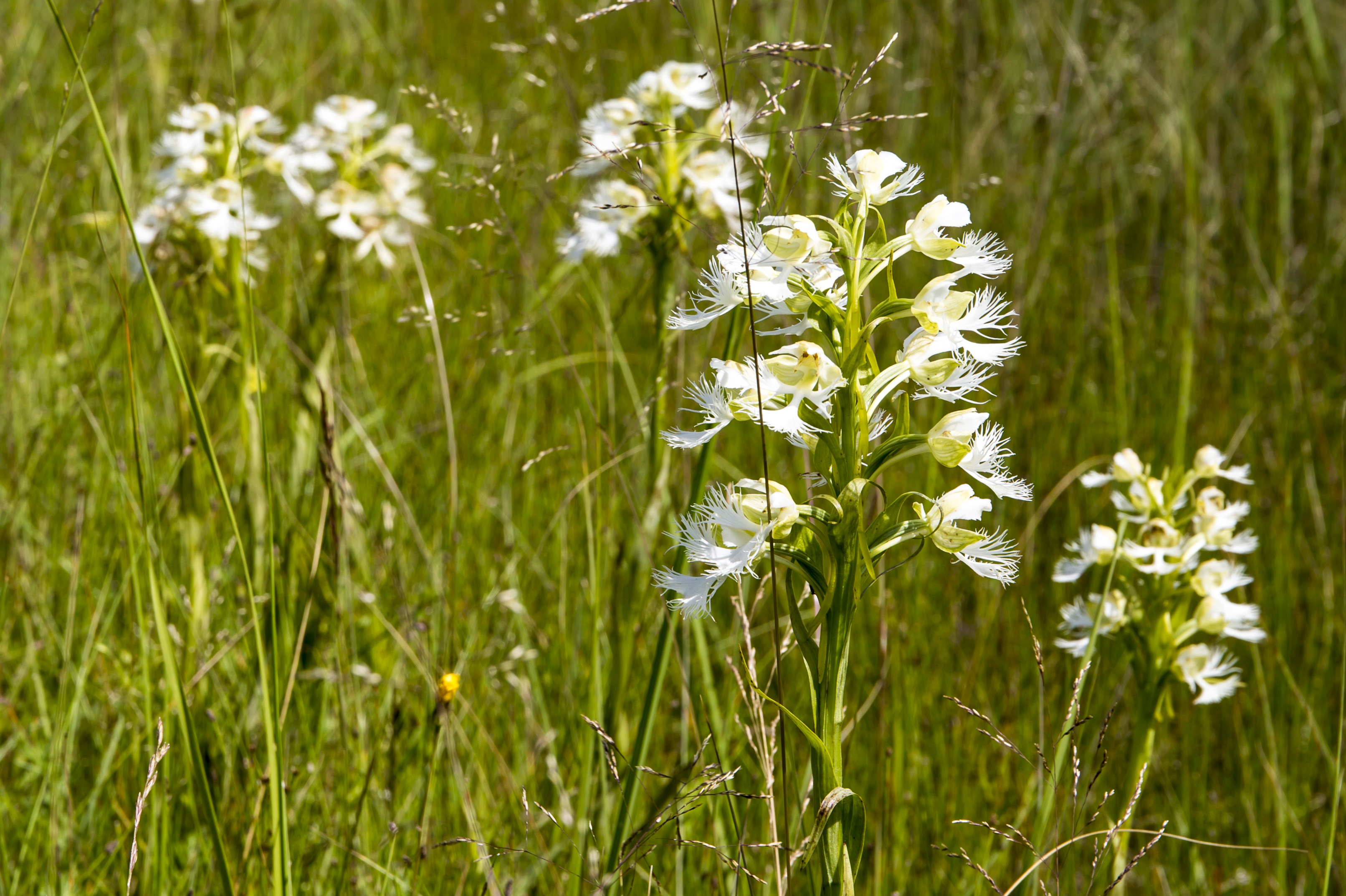
Western Prairie Fringed Orchids
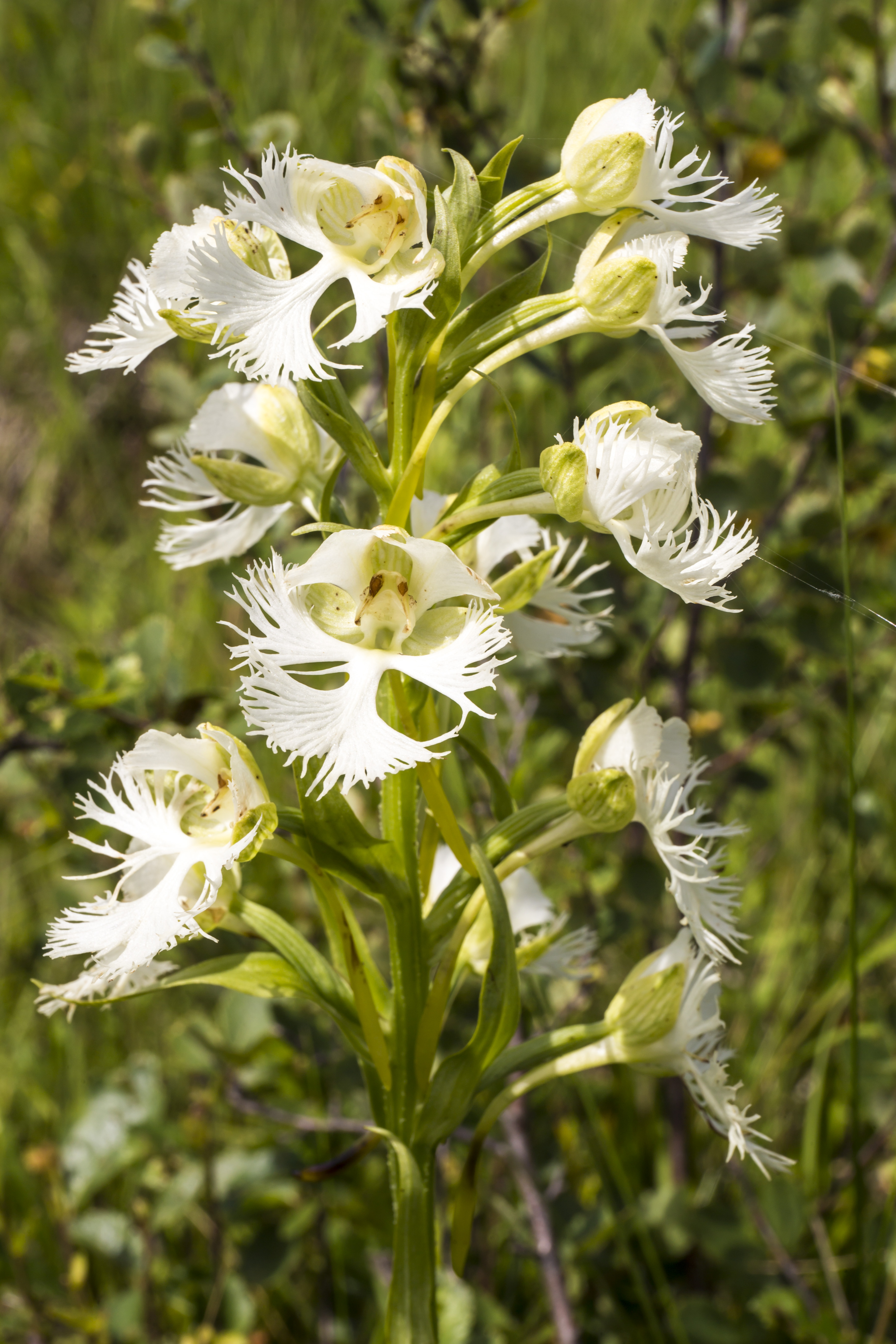
Western Prairie Fringed Orchid
Topographic Map of 7 Provincial Trunk Hwy 59, Tolstoi, MB R0A 2E0, Canada
Find elevation by address:

Places near 7 Provincial Trunk Hwy 59, Tolstoi, MB R0A 2E0, Canada:
Tolstoi
Franklin
Ridgeville
47 MB-, Ridgeville, MB R0A 1M0, Canada
Vita
Stuartburn
Kittson County
28 2nd St S, Hallock, MN, USA
Hallock
Lake Bronson
Main St, Lake Bronson, MN, USA
Kennedy
4th St, Kennedy, MN, USA
Commercial St, Donaldson, MN, USA
Donaldson
38 Woodland Dr, Menisino, MB R0A 1A0, Canada
Strandquist
1st Ave, Strandquist, MN, USA
33477 390th Ave Nw
33477 390th Ave Nw
Recent Searches:
- Elevation of Corso Fratelli Cairoli, 35, Macerata MC, Italy
- Elevation of Tallevast Rd, Sarasota, FL, USA
- Elevation of 4th St E, Sonoma, CA, USA
- Elevation of Black Hollow Rd, Pennsdale, PA, USA
- Elevation of Oakland Ave, Williamsport, PA, USA
- Elevation of Pedrógão Grande, Portugal
- Elevation of Klee Dr, Martinsburg, WV, USA
- Elevation of Via Roma, Pieranica CR, Italy
- Elevation of Tavkvetili Mountain, Georgia
- Elevation of Hartfords Bluff Cir, Mt Pleasant, SC, USA