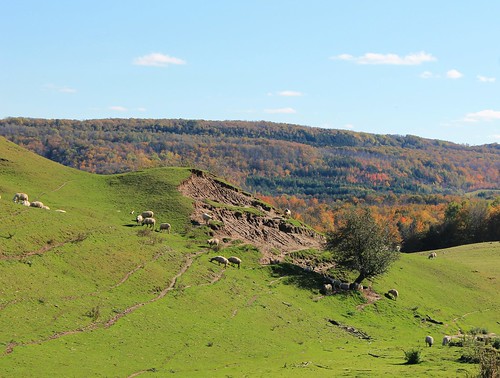
Elevation of 7 Line, Mansfield, ON L0N 1M0, Canada

Location: Canada > Ontario > Dufferin County > Mulmur > Mansfield >

Longitude: -80.043250

Latitude: 44.2656111

Elevation: 274m / 899feet

Barometric Pressure: 98KPa

Elevation Map:

elevation map of 7 Line, Mansfield, ON L0N 1M0, Canada

Satellite Map:

Satellite map of 7 Line, Mansfield, ON L0N 1M0, Canada

Related Photos:

morning macro ice nature fruit bokeh ngc sparkle raspberry melt sunlit freezingrain glisten wildraspberries
Inside out!
creemorespringsbrewerylimited millstreet villageofcreemore simcoecounty clearviewtownship ontario canada prout geraldwayneprout canon canonpowershotsx60hs powershot sx60 hs digital camera photographed photography bottling canning industry commercial business facility manufacturing brewery beverages alcoholicbeverages creemore springs clearview township simcoe county
Creemore Springs Brewery Limited
morning sunlight window backlight romanblind ourdailychallenge
Roman Blind
park new camping sunset ontario earl googleearth rowe provincial tecumseth 93793499n00 volume8
Corn Field Sunset
life trees ontario canada forest dead fire death living alive dying treefarm firedamage comingbacktolife rejuvenating somelife lifeamongstdeath
Some Life
olympuspenliteepl5 edk7 2016 canada ontario simcoecounty canadianforcesbaseborden cfbborden canadianforcessupporttraininggroupcfstg basebordenmilitarymuseum majorgeneralffworthingtonmemorialpark worthingtonpark openairmuseum openaircollection tankcollection canadianarmy vickersarmstrongsltd centurionarmouredrecoveryvehiclemk2 arv 1954 coldwar military weapon ordnance machine mechanical track idler gun turret armour engineering rollsroycemeteorwatercooled27litrev12britishtankengine650hp rearviewshowingrecoveryequipment
Canadian Army Centurion Armoured Recovery Vehicle (ARV) Mk 2, 1954..
park new camping sunset ontario earl googleearth rowe provincial tecumseth 93793499n00 volume8
Camp Sunset
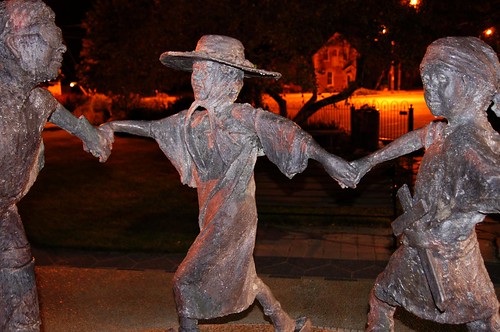
ontario canada fountain night creemore simcoecounty clearviewtownship ralphhicks childrensdressupdance
Dress Up Dance
ontario canada history museum army war tank angus military borden conflict 1989 coldwar eastgermany warfare canadianforces t55 alliston canadianarmy battletank bordenontario allistonontario angusontario february192011
East German T-55 -1989 - Interior
original ontario canada canon eos spring aircraft things 7d processing handheld 200views 500views setting 50views lenses 25views baseborden bypaulchambers bordenairshow canonef70200mmf28isiiusm lightroom4 janewicker rocksteadyimages
Wing Walker, Jane Wicker @ Borden - 2012
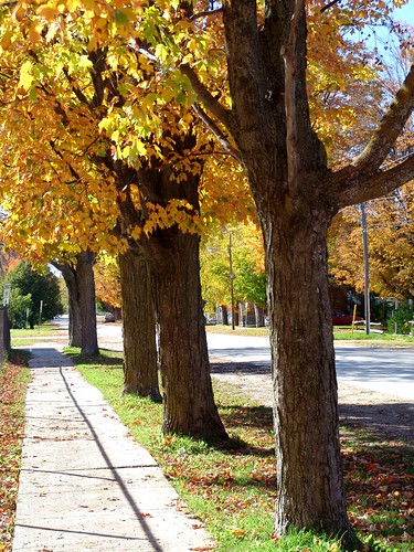
autumn trees ontario canada fall colours creemore vob clearviewtownship
Creemore Streetscape
autumn ontario canada burningbush creemore euonymusalata clearviewpubliclibrary
Autumn at the Library
aviation airshow 200views 50views biplane wingwalker 25views bypaulchambers rocksteadyimages
Wing Walker at Borden (2006)
two ontario canada airshow armedforcesday swiftmagic cfbborden
Swift Magic Team
ontario canada airshow biplane stearman armedforcesday cfbborden thirdstrikewingwalking carolpilon
Third Strike Wingwalking
camera original ontario canada canon hiking events parks places equipment cameras processing handheld 50views outdooractivities alliston 25views canonpowershots100 earlrowepark bypaulchambers adjalatosorontio lightroom4 rocksteadyimages
IMG_0505.jpg
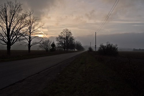
creemore ontario canada rural simcoecounty clearviewtownship hills clouds fog theflickrlounge ant anythingwater
Foggy Hills
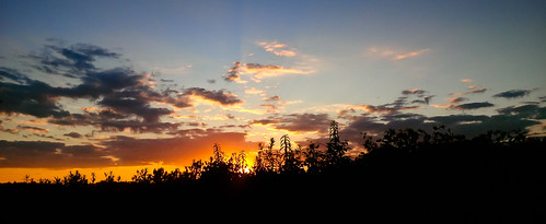
sky ontario canada fog clouds afternoon creemore simcoecounty cleraviewtownship
Approaching Sunset
original ontario canada canon eos angus 7d handheld 25views bypaulchambers canonef70200mmf28isiiusm lightroom4 rocksteadyimages
_MG_8412-Edit.jpg
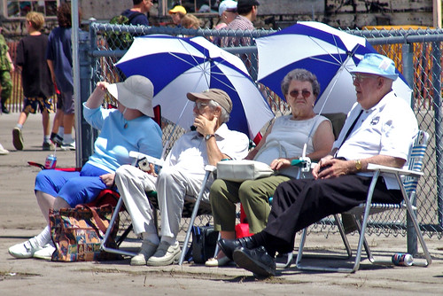
two four peoplewatching armedforcesday june232006 cfbborden
Seniors Enclave
sky ontario canada clouds creemore simcoecounty clearviewtownship
A Break in the Clouds
lgg4
On the way out. #lgg4
ontario canada tree rural distorted countryroad clearviewtownship ourdailychallenge
Dali's Tree
sun snow barn shadows farm clearview6thline
Winter Light
mist ghost highlights niagaraescarpment randyohara
Mist Key Hole
ontario canada badjeros
Hay, Hey!
autumn ontario nature rural golden countryside bokeh farm grasses 2011
Bokeh Day
snow clouds bluemountains cornfields niagaraescarpment drumlins 4shotpanorama glenhuronsideroad
Blue Mountain Panorama from Glen Huron Sideroad
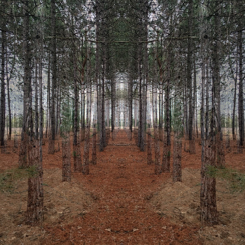
trees forest woods
Woods in the Spring
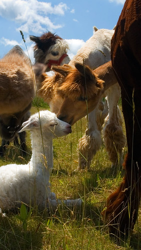
blue baby white ontario green alpaca nature beauty grass sunshine animal azul clouds landscape ilovenature nikon day birth d70s twistedbydesign patrick patryk adamczyk sunny valley bushes herd mansfield cria polanaranch nikonstunninggallery
The Birth of Azul
mulmur hills ontario hiking trail bruce field grass
Mulmur Hills
trees forest woods
Woods in the Spring
trees forest woods
Woods in the Spring
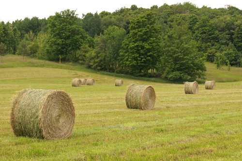
ontario canada farm line diagonal round hay bales eight creemore ourdailychallenge
'Round The Farm
ourdailychallenge startswithb
B is for Barn
day sheep farm pwfall pwpartlycloudy
Hilly pasture
earlrowe fallcolors landscape pedjaphotography predragg fall sonya200 sal18250 pedja predrag sonyalpha scenery sonyalphaphotography a200 pedjag predragphotography pedjaphoto
Earl Rowe Provincial Park
Dufferin Forest near Mansfield 3
duntroon ontario canada ca bruce hiking trail landscape nature nottawasaga bluffs conservation area winter snow
Bruce Trail, Nottawasaga
earlrowe fallcolors landscape pedjaphoto pedjaphotography ontario scenery sonya200 sal18250 pedja predrag sonyalpha tgam:photodesk=rural2013 sonyalphaphotography a200 predragg pedjag predragphotography
Earl Rowe Provincial Park
bruce hiking trail mulmur hills ontario landscape nature mansfield canada ca
Bruce Trail (Mulmur Hills)