Elevation of 7 Island Dr, Maberly, ON K0H 2B0, Canada
Location: Canada > Ontario > Frontenac County > South Frontenac >
Longitude: -76.573675
Latitude: 44.7176204
Elevation: 176m / 577feet
Barometric Pressure: 99KPa
Elevation Map:
Satellite Map:
Related Photos:
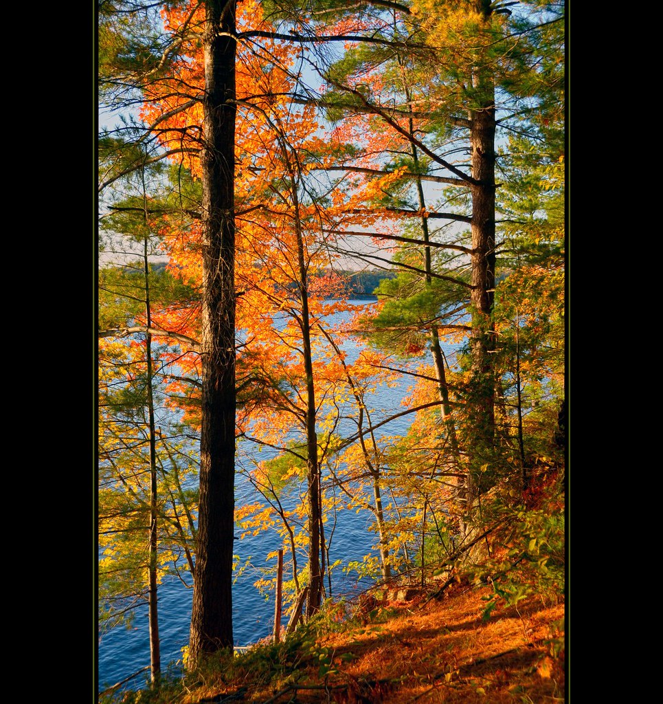
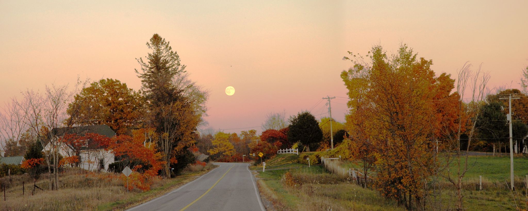
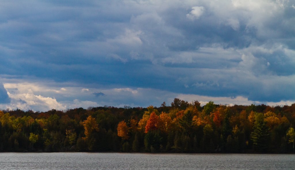
Memories of the Fall
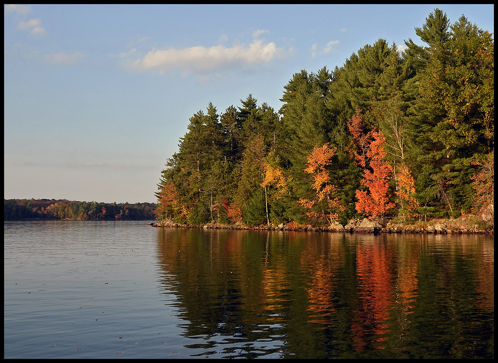
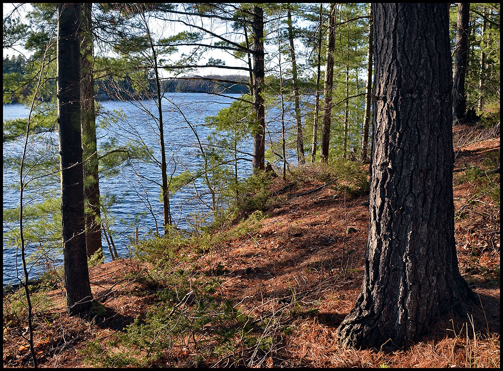
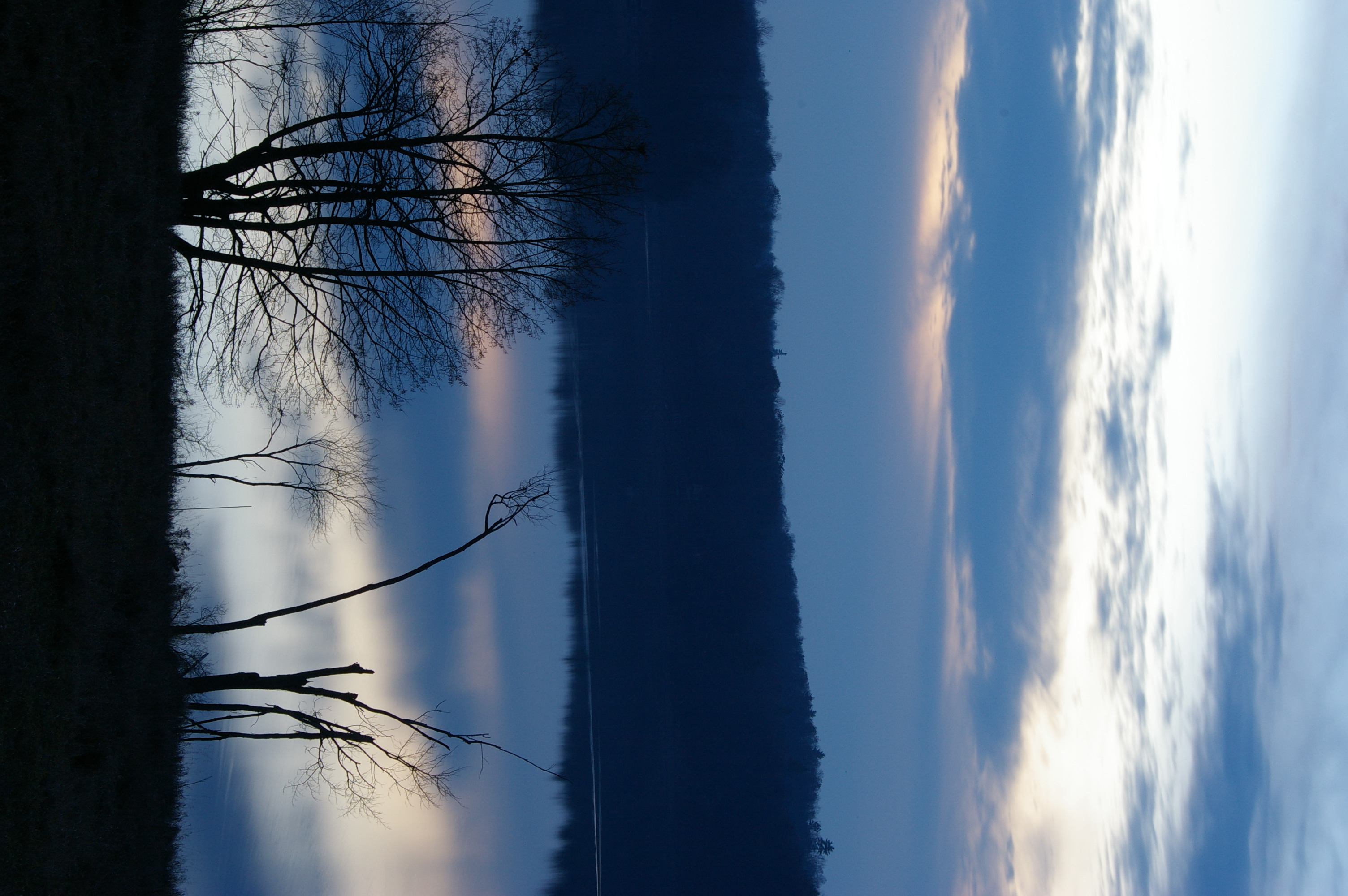
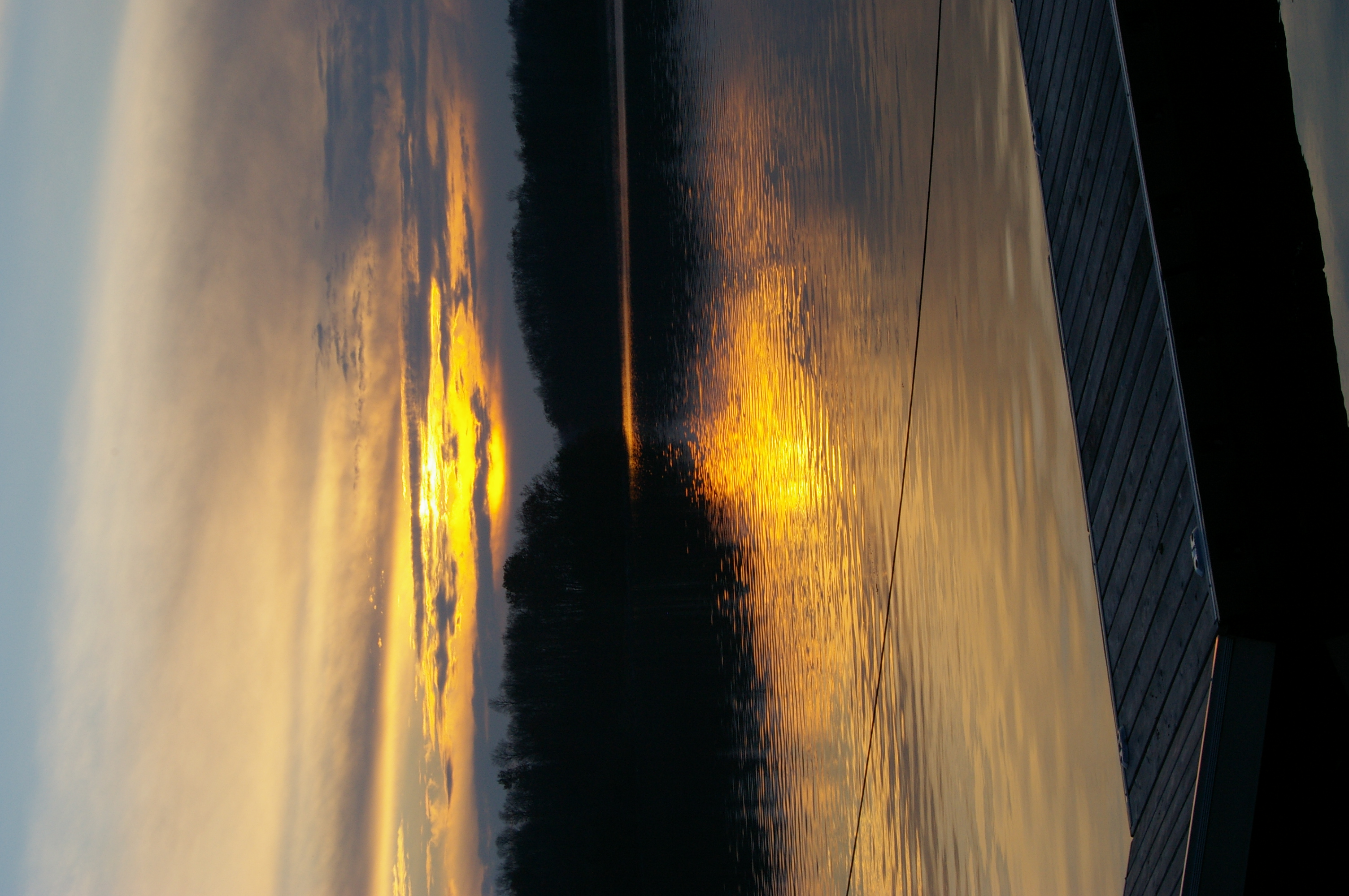
Reflections of autumn

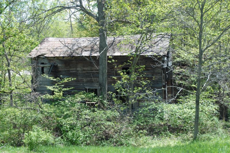
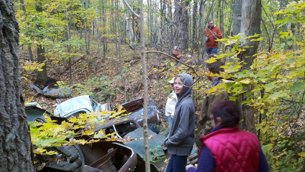
Abandoned...

No Left Turn

Westport Grist Mill rear view.jpg

Ruins of an old mill at Parham Ontario
Ruins of an old mill at Parham Ontario
View along Highway 7
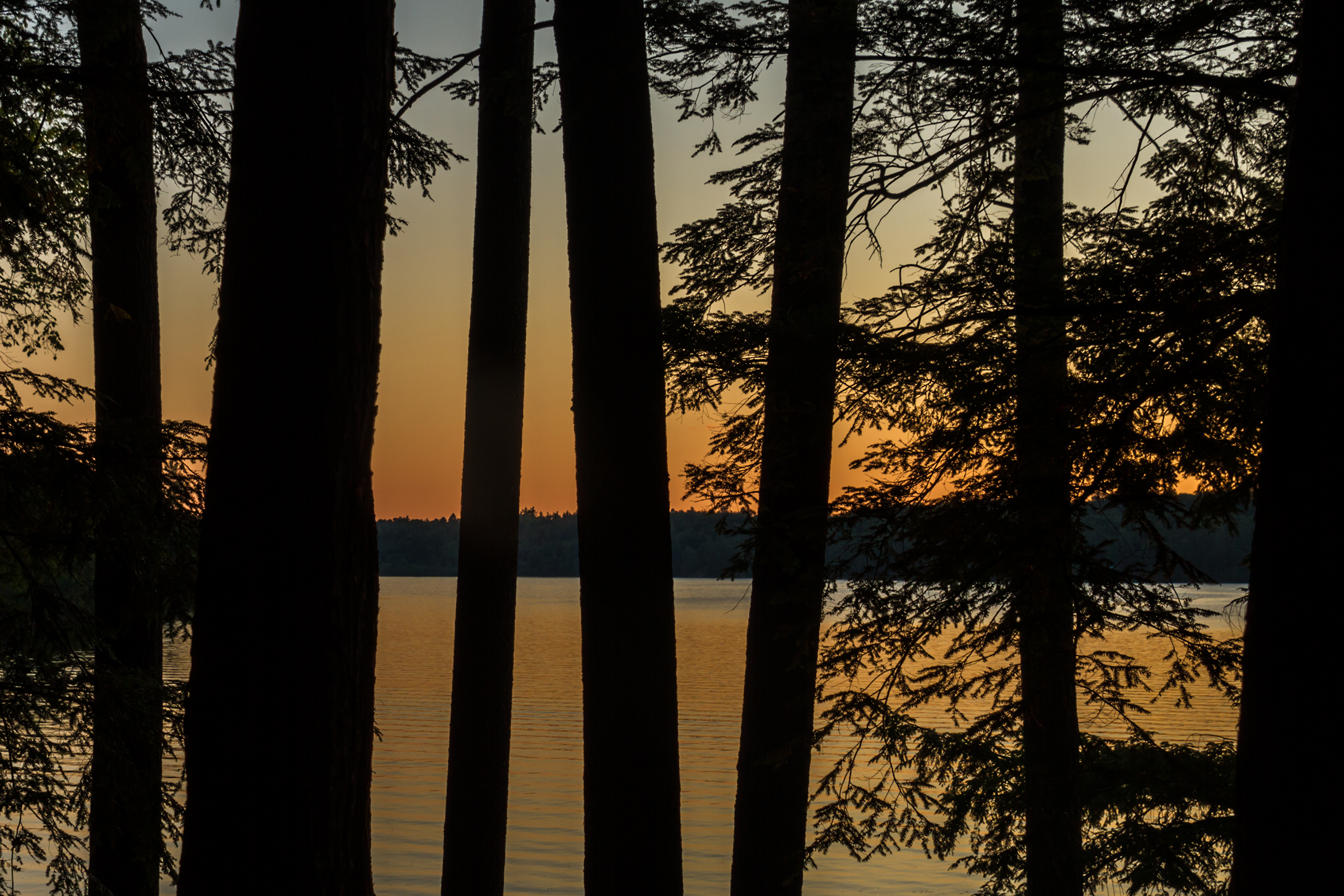
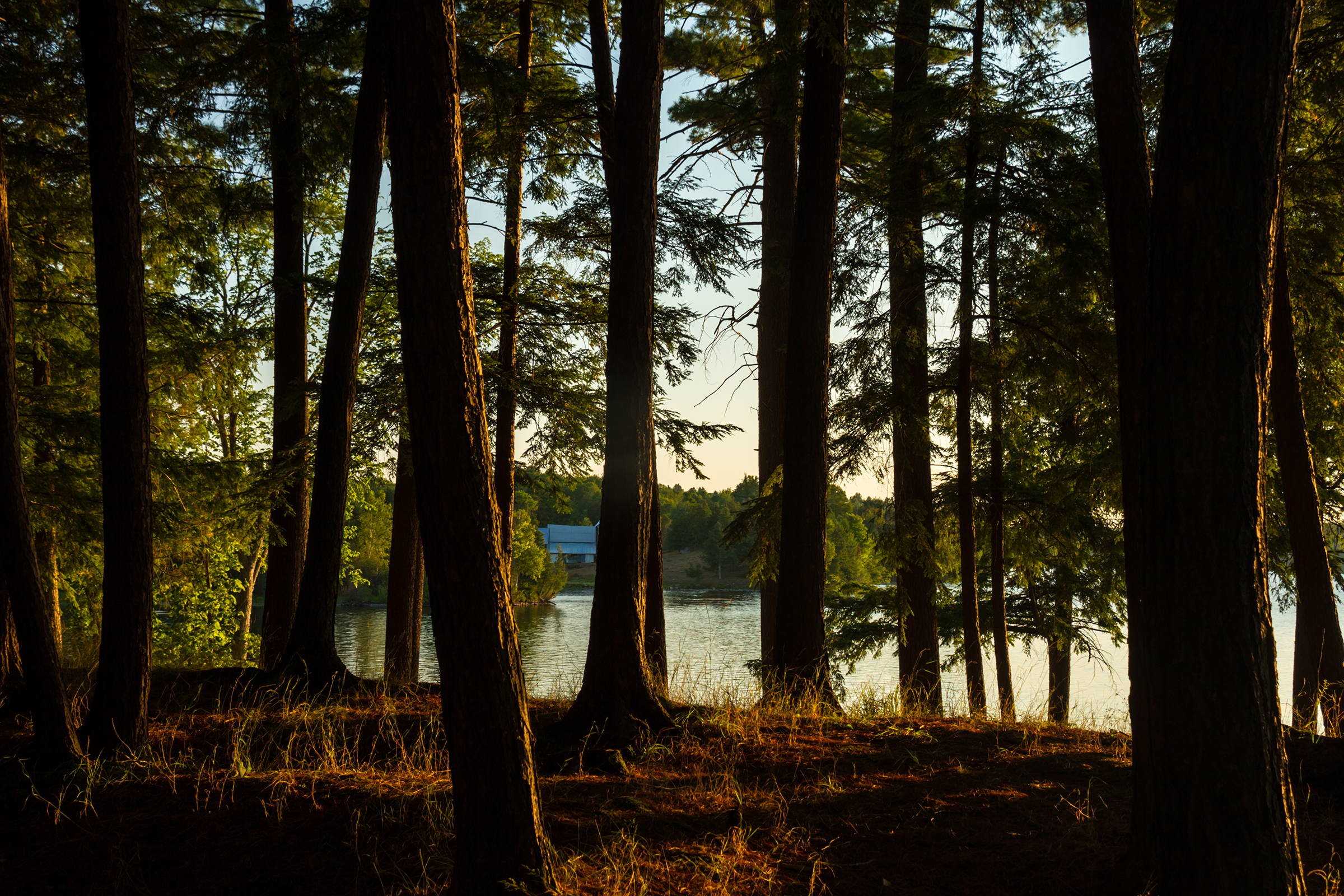
Farewell to Silver Lake
“Far away there in the sunshine are my highest aspirations. I may not reach them but I can look up and see their beauty, believe in them and try to follow them.” Louisa May Alcott
Pine Needle Ridge, Foley Mountian Conservation Area

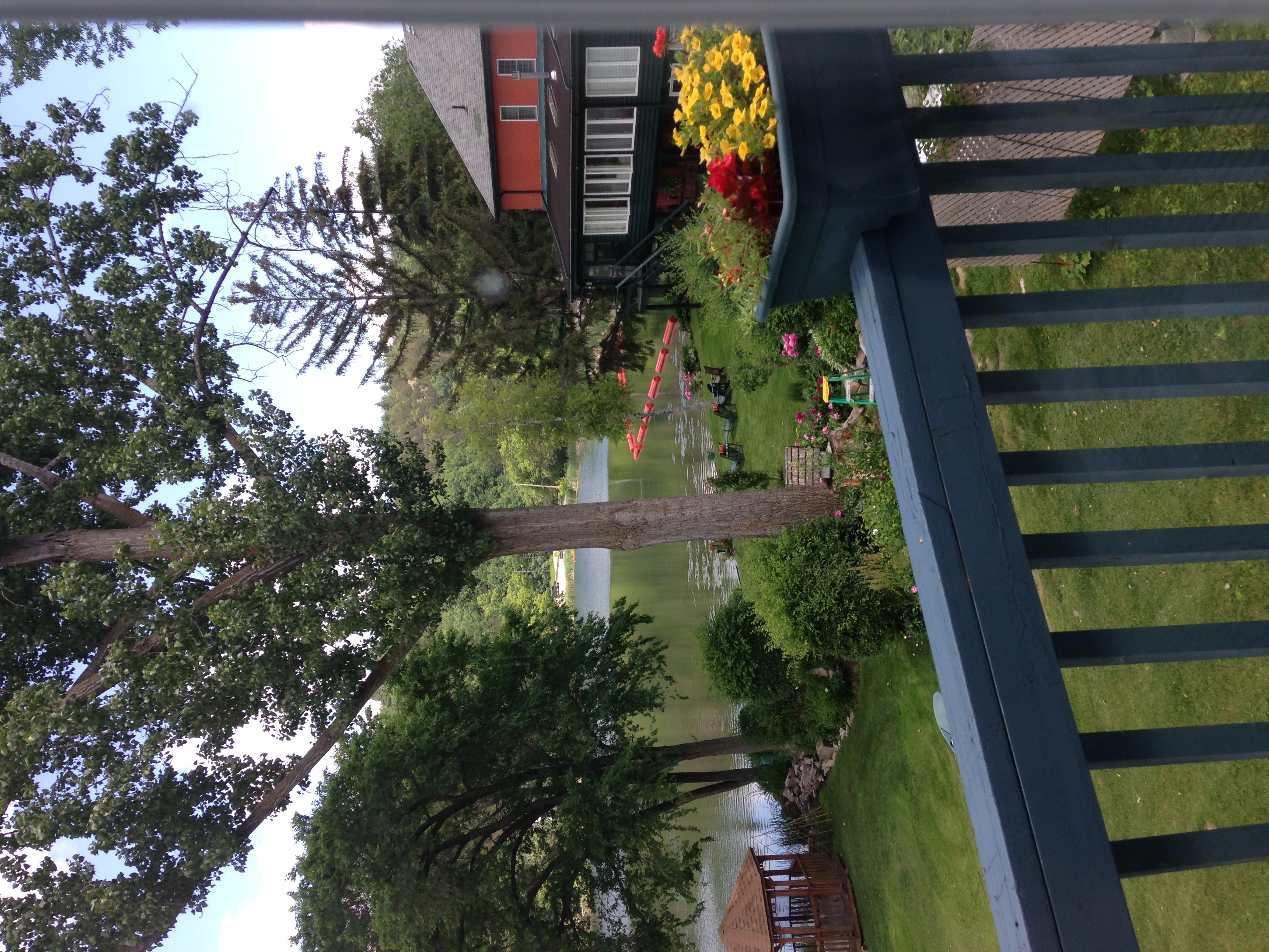
Martha enjoying the view
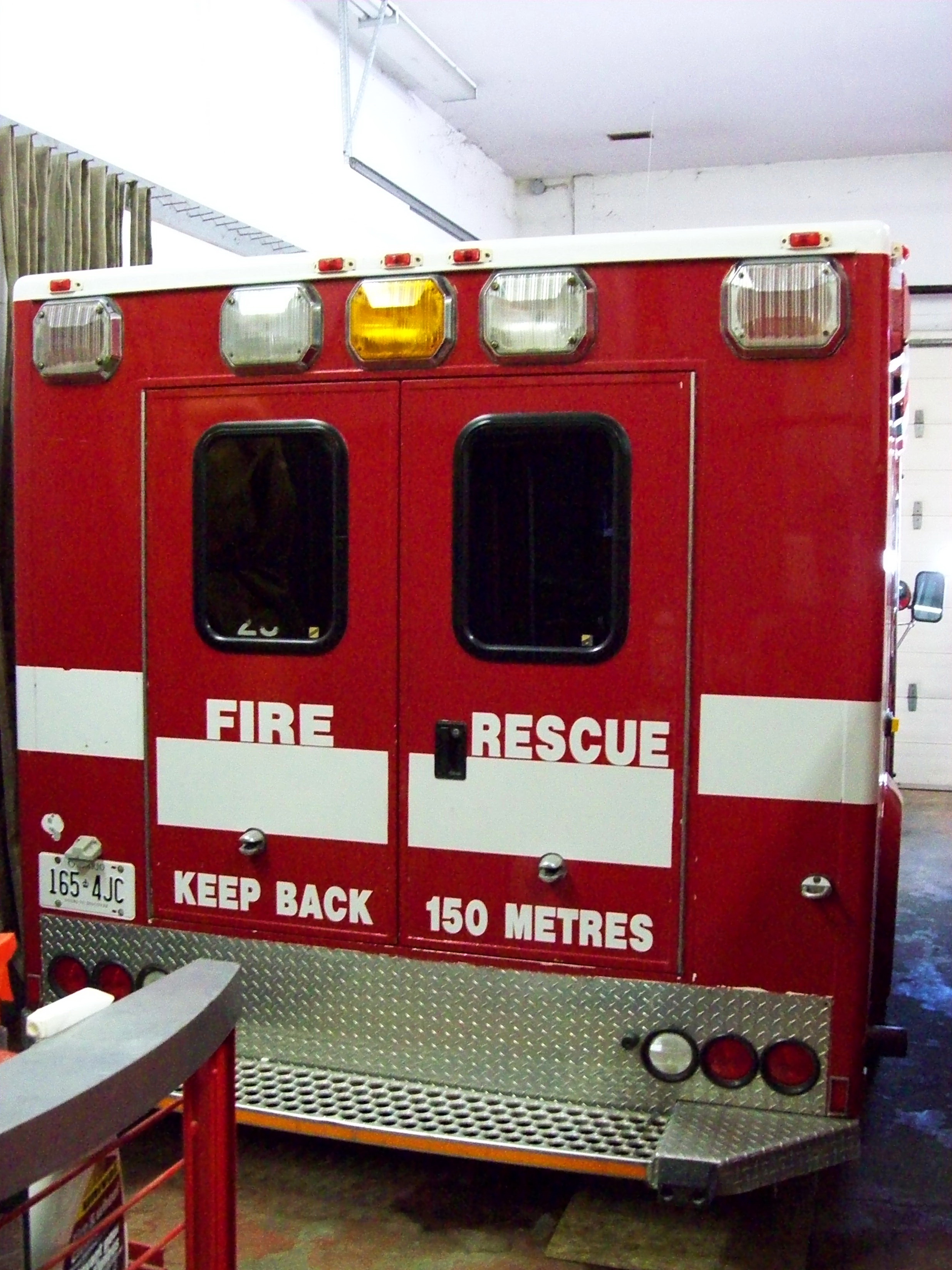
South Sherbrooke Fire Department Unit 109 1996 Ford E-450 Demers Ambulance light rescue rear view Maberly, Ontario Canada 07092009 ©Ian A. McCord
The Perth Road
TMC 2014 Kingston Tour
DSCN3189 Central Frontenac Trailway

The view from the Silver Lake scenic point; Silver Lake, Ontario
DSCN3201 K&P Rail Trail passing under Hwy 7
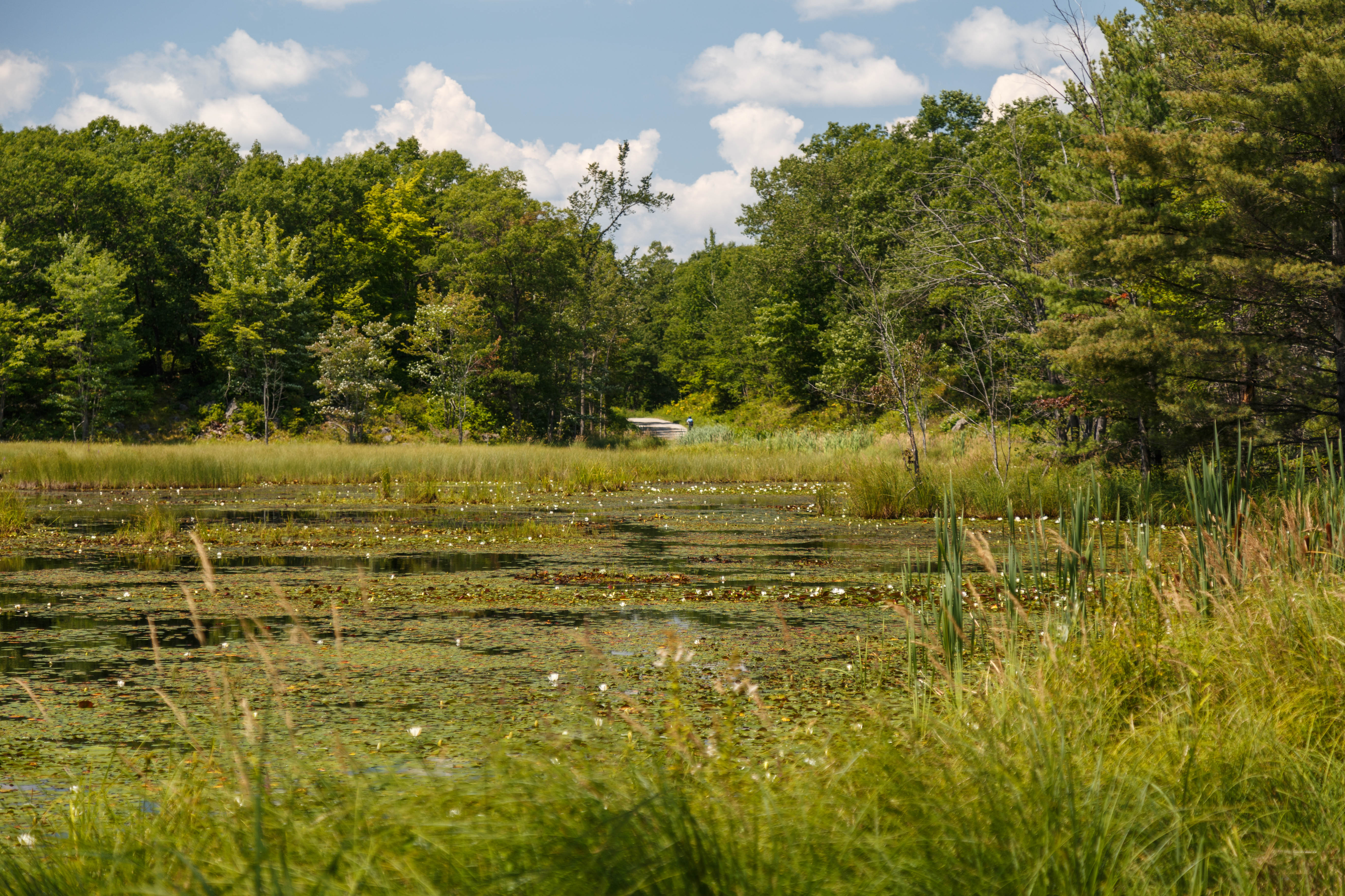
Explorers and general view

The view from the Silver Lake scenic point; Silver Lake, Ontario
View from The Cove, Westport
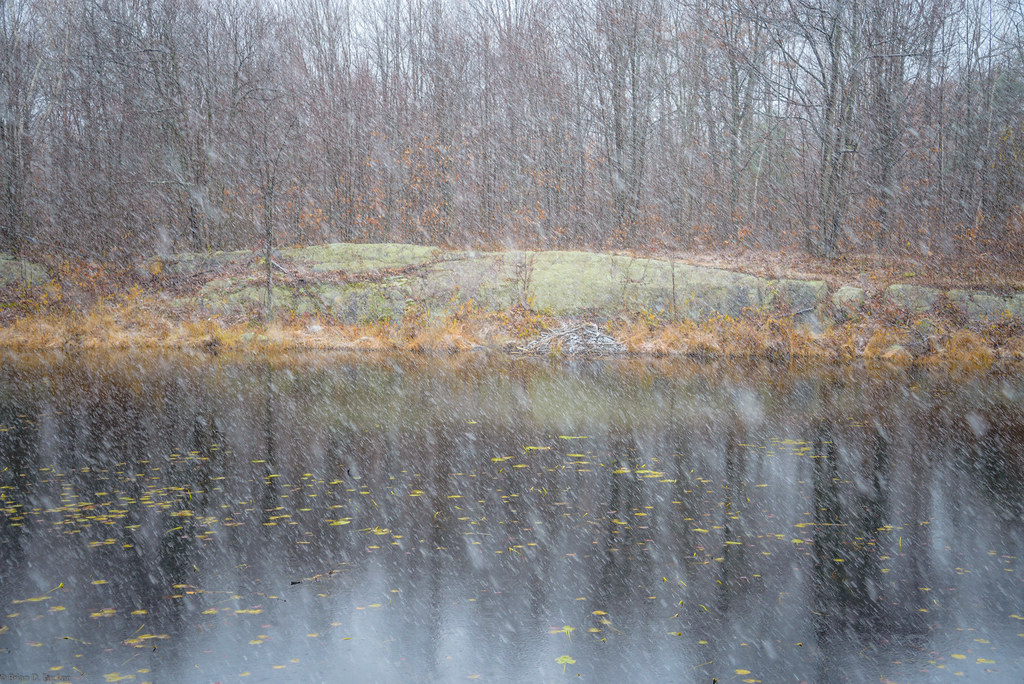
first snow

a quiet bay at Westport

More Westport
Silver Lake
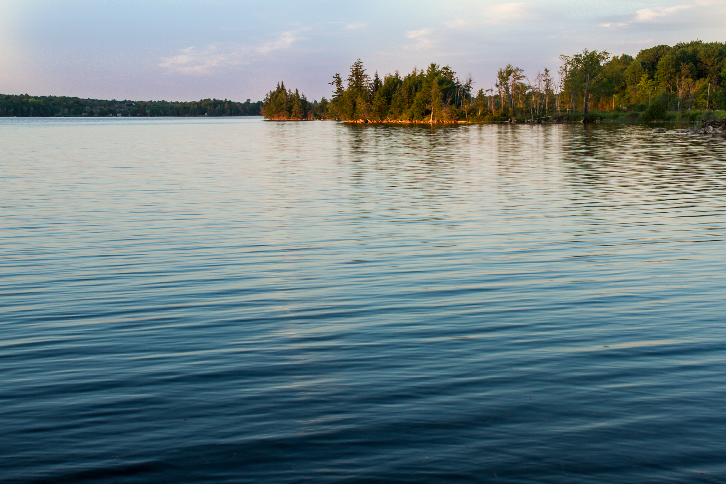
Eagle lake
Full moon over Althorpe Road, Lanark County
01 - In Confidence
7:50
The Lot - November 27
St George's Lake

The Lot - November 27

Storm front panorama : Autostitch
Central Frontenac
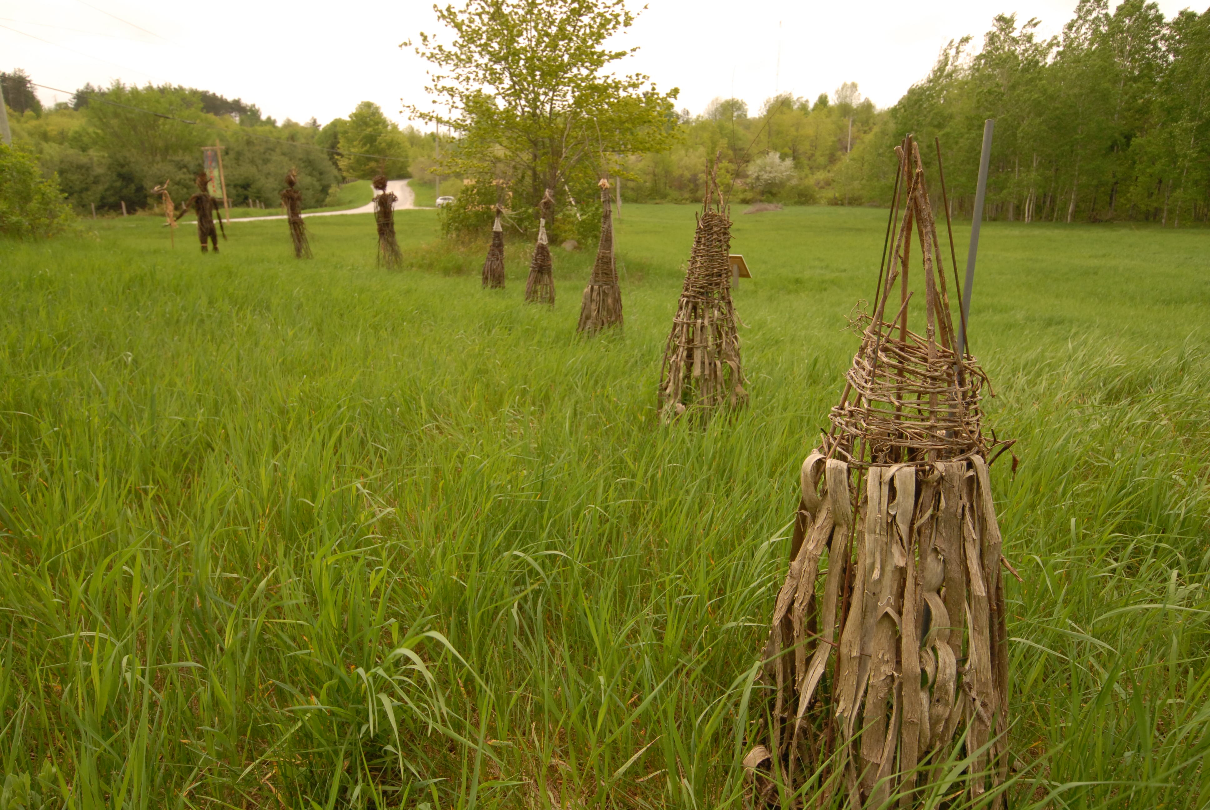
Art installation : Fieldwork
The Lot - November 27
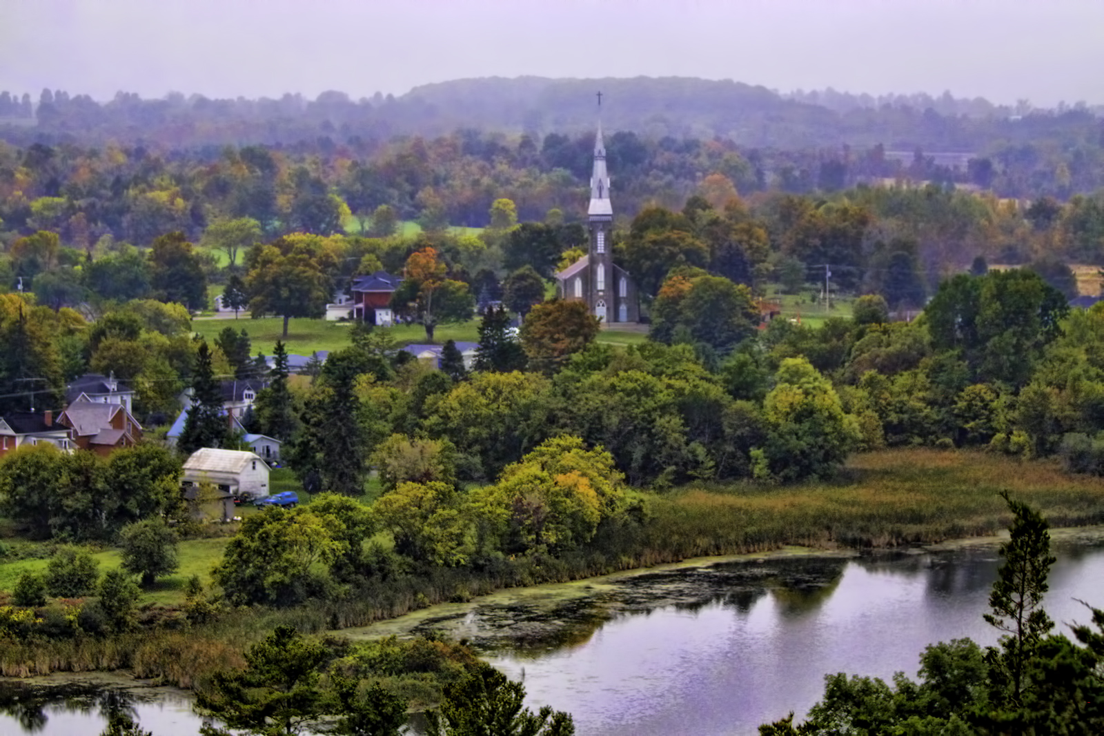
Sharbot Lake, Morning
Sharbot Lake
Topographic Map of 7 Island Dr, Maberly, ON K0H 2B0, Canada
Find elevation by address:

Places near 7 Island Dr, Maberly, ON K0H 2B0, Canada:
Mill Bay Lane
Mill Bay Lane
Mill Bay Lane
2020 Crow Lake Rd
Crawford Lane
136 County Rd 36
K0h 2b0
Bradshaw 3 Road
Bradshaw 3 Road
Acorn Lane
471 Silvery Ln
13365 Road 38
Tichborne
1141 Buck Bay Rd
Maberly
Sharbot Lake
Westport Rd & Sperling Ln
Frontenac County
Crosby Lake
Thirty Island Lake
Recent Searches:
- Elevation of Corso Fratelli Cairoli, 35, Macerata MC, Italy
- Elevation of Tallevast Rd, Sarasota, FL, USA
- Elevation of 4th St E, Sonoma, CA, USA
- Elevation of Black Hollow Rd, Pennsdale, PA, USA
- Elevation of Oakland Ave, Williamsport, PA, USA
- Elevation of Pedrógão Grande, Portugal
- Elevation of Klee Dr, Martinsburg, WV, USA
- Elevation of Via Roma, Pieranica CR, Italy
- Elevation of Tavkvetili Mountain, Georgia
- Elevation of Hartfords Bluff Cir, Mt Pleasant, SC, USA