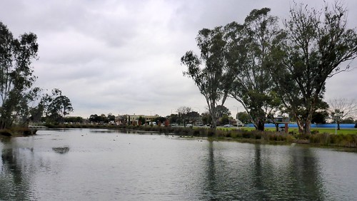
Elevation of 77-79 Hampton Rd, Tatura VIC, Australia
Location: Australia > Victoria > Greater Shepparton City > Tatura >
Longitude: 145.238796
Latitude: -36.452119
Elevation: 114m / 374feet
Barometric Pressure: 100KPa
Related Photos:
Topographic Map of 77-79 Hampton Rd, Tatura VIC, Australia
Find elevation by address:

Places near 77-79 Hampton Rd, Tatura VIC, Australia:
Tatura
1245 Turnbull Rd
34 Wren St
Toolamba
7 Wheelhouse St
39 Arcadia Downs Dr
37 Raftery Rd
24 Silvan Cres
5 Omeo Ct
72 Gordon Dr
2 Avoca Ct
6 Avoca Ct
3 Avoca Ct
5 Avoca Ct
4 Avoca Ct
20 Stanley St
24 Stanley St
Greater Shepparton City
327 Archer St
2 Cawthray Ct
Recent Searches:
- Elevation of Corso Fratelli Cairoli, 35, Macerata MC, Italy
- Elevation of Tallevast Rd, Sarasota, FL, USA
- Elevation of 4th St E, Sonoma, CA, USA
- Elevation of Black Hollow Rd, Pennsdale, PA, USA
- Elevation of Oakland Ave, Williamsport, PA, USA
- Elevation of Pedrógão Grande, Portugal
- Elevation of Klee Dr, Martinsburg, WV, USA
- Elevation of Via Roma, Pieranica CR, Italy
- Elevation of Tavkvetili Mountain, Georgia
- Elevation of Hartfords Bluff Cir, Mt Pleasant, SC, USA
