Elevation of 72 Gambrel Ct, Middlebury, VT, USA

Location: United States > Vermont > Addison County > Middlebury > Middlebury >

Longitude: -73.152469

Latitude: 44.0192056

Elevation: 131m / 430feet

Barometric Pressure: 100KPa

Elevation Map:

elevation map of 72 Gambrel Ct, Middlebury, VT, USA

Satellite Map:

Satellite map of 72 Gambrel Ct, Middlebury, VT, USA

Related Photos:

waterfall vermont fallsoflana canonxsi
Falls of Lana - Vermont
milkyway panorama stars
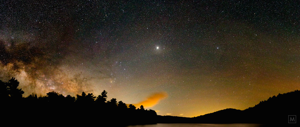
Milky Way over Silver Lake (re-process)
usa vermont sv vt roundel 1869 georgesmith cutstone nrhp views1500 nationalregisterofhistoricplace frenchsecondempire winterviews shardvilla clintonsmith westsalisburyvt columbussmith robertmorriscopeland 187274 1177shardvillard georgeclintonsmith 89001789 nationalarchitect geoewoodward westsalisbury origamidon thecolumbussmithestate donshall
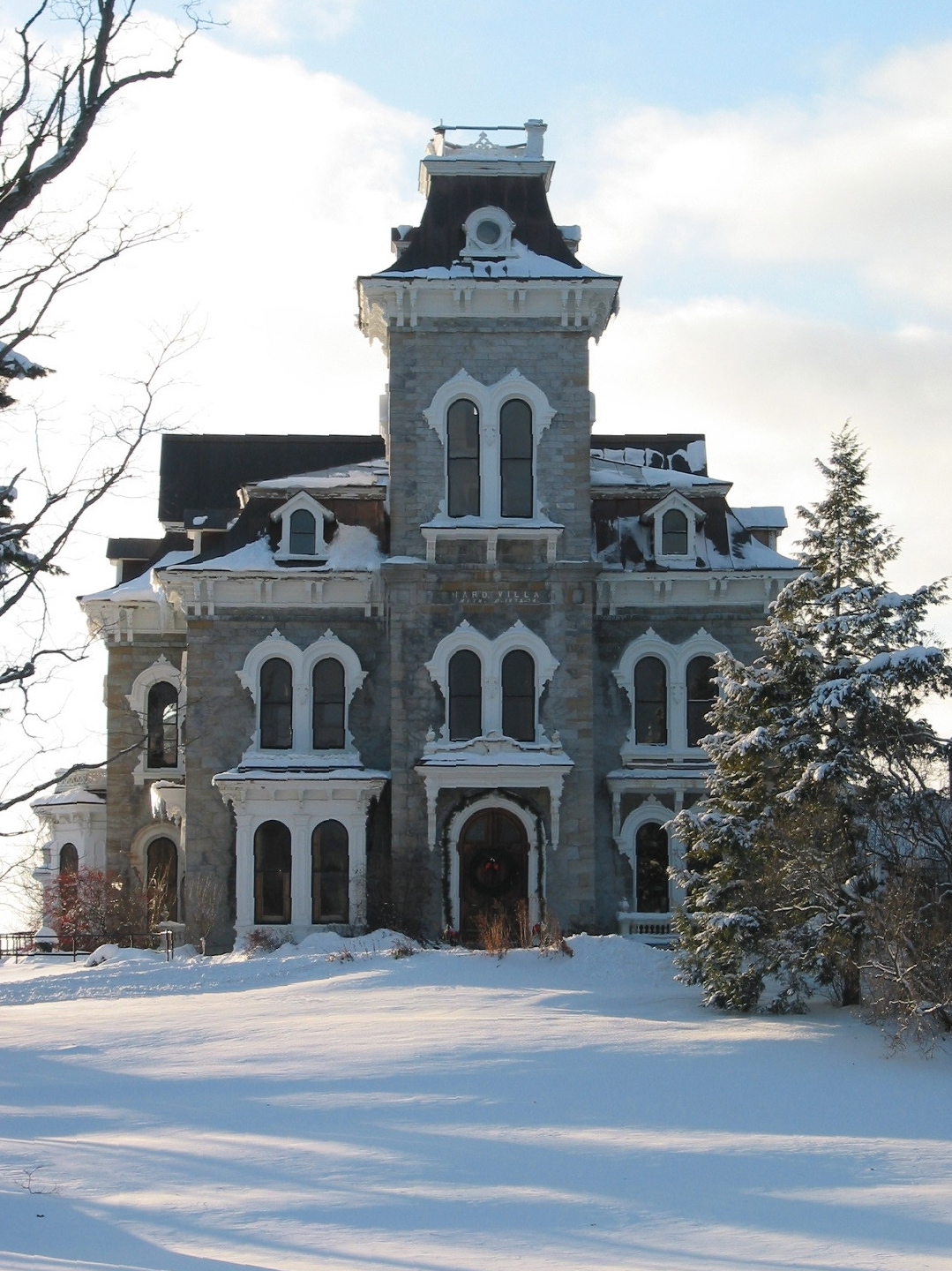
Shard Villa (1872-1874) – Winter views
usa brick skyline architecture vermont view rooftops queenanne middlebury belltower vista courthouse marble courtstreet vt middleburycollege 1835 chamberofcommerce 1883 1802 slateroof nationalregisterofhistoricplaces 05401 nrhp greenmountainstate addisoncounty clintonsmith addisoncountycourthouse middleburyvermontusa origamidon donshall gamalielpainter 05753 gamalielpainterhouse samuelcoe middleburyvillagehistoricdistrict vermontstateregisterofhistoricplaces vsrhp
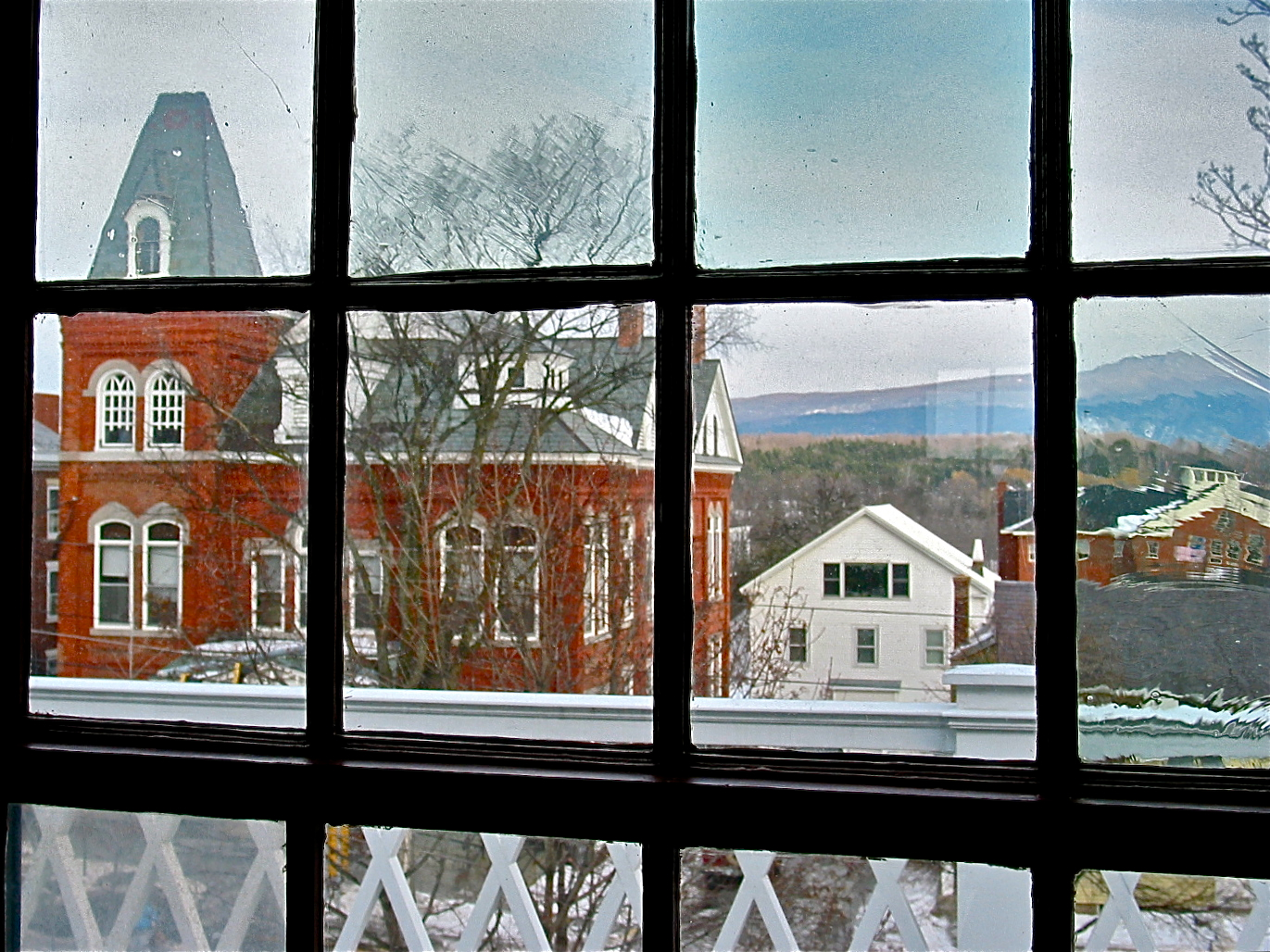
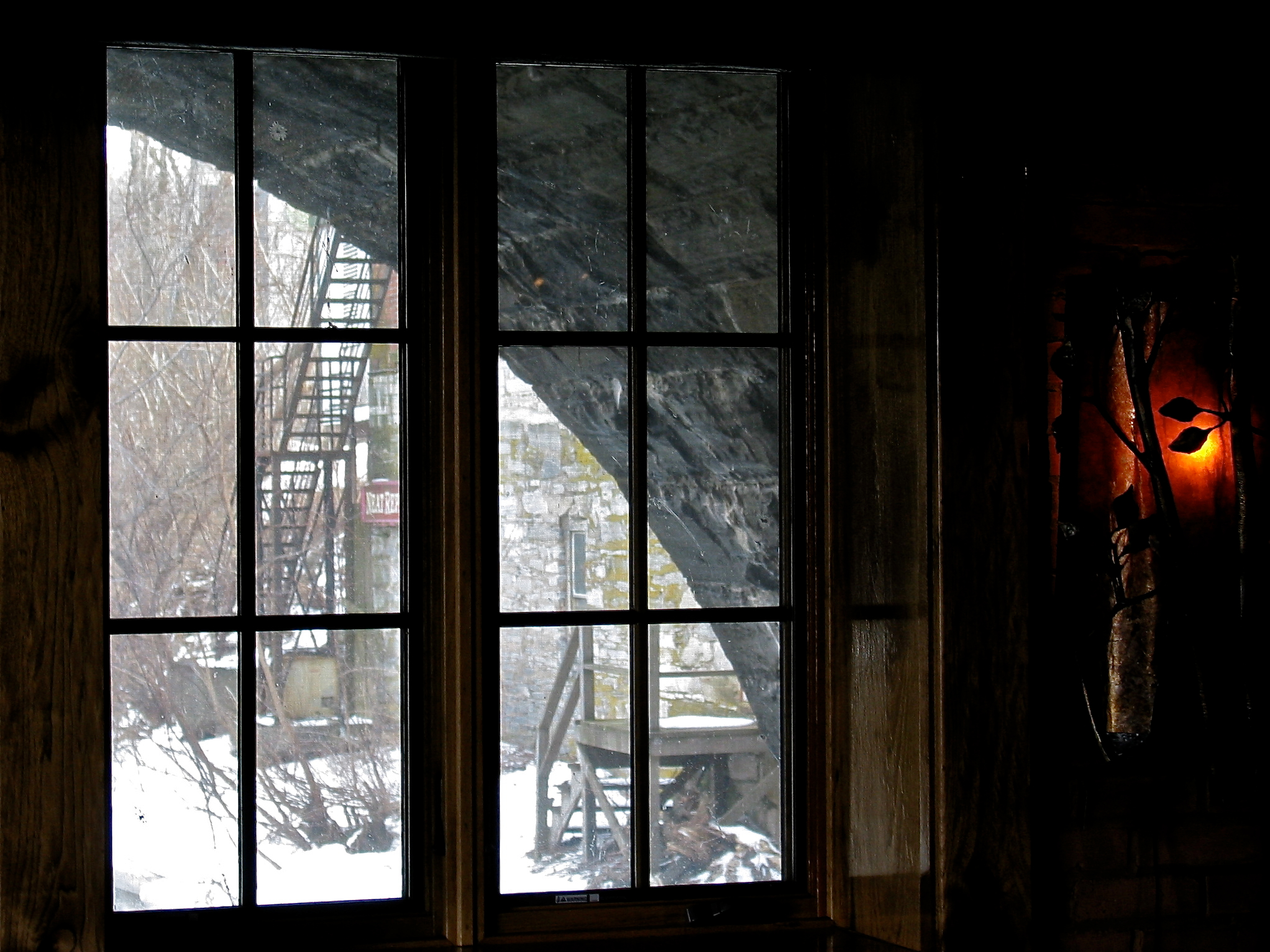
Gamaliel Painter House (1802 / c.1835) – third floor view
square squareformat sutro iphoneography instagramapp uploaded:by=instagram
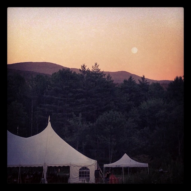
We've got a beautiful view of the super moon! #danilasmithwedding #vermontbound #vermont #supermoon
campus vermont middlebury middleburycollege
Campus views
bridge usa stone architecture vermont arch middlebury vt 1892 ottercreek nationalregisterofhistoricplaces cutstone nrhp greenmountainstate middleburyfalls addisoncounty clintonsmith josephbattell battellbridge middleburyvermontusa origamidon donshall 3arches 05753 76000223 middleburyvillagehistoricdistrict vermontstateregisterofhistoricplaces vsrhp mvhd
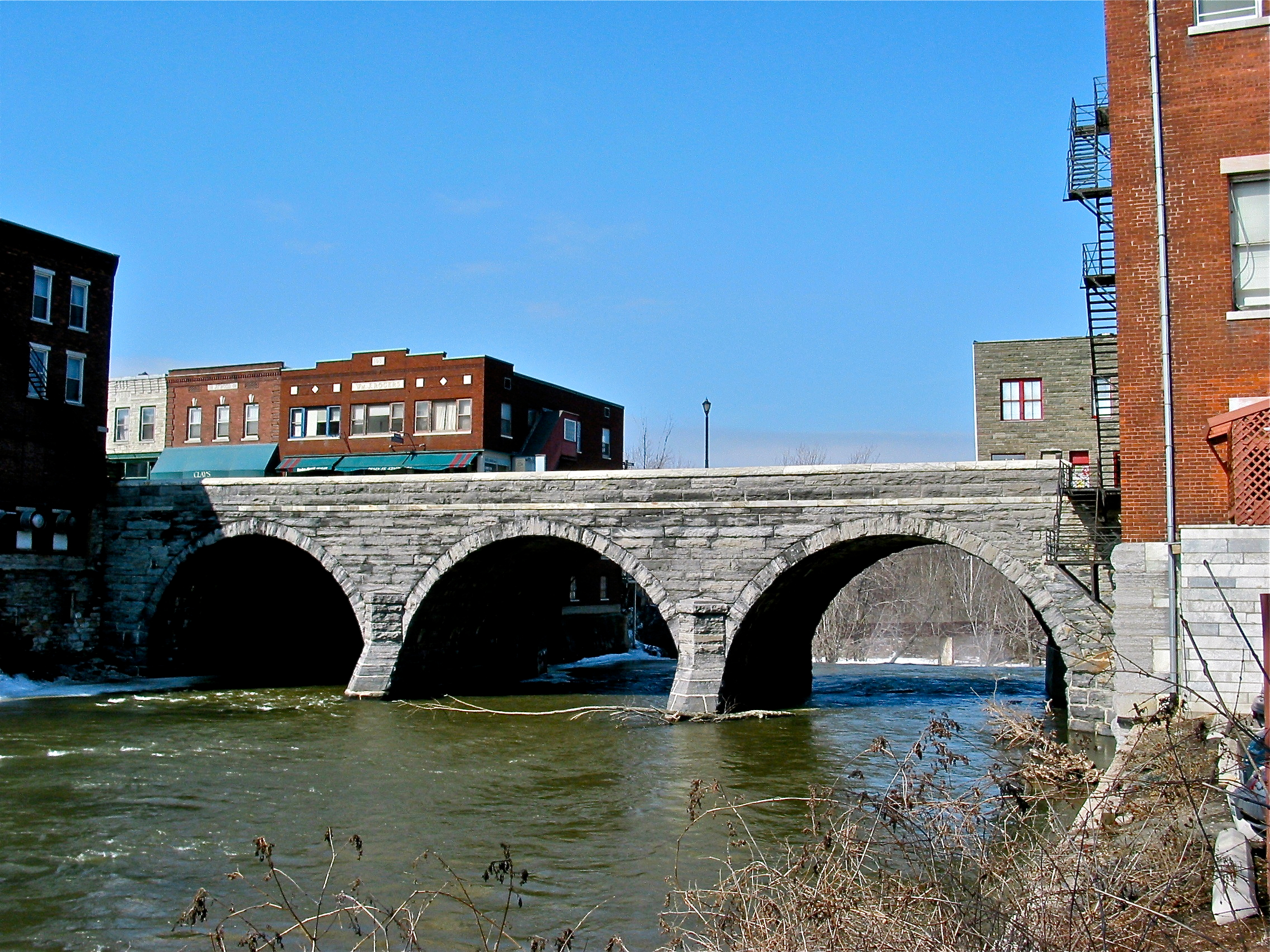
Battell Bridge (1892) – view of the westside
usa truck maple vermont cornwall antique farm dodge vt sugaring antiquetruck staketruck addisoncounty origamidon cornwallvermontusa donshall dodgetrucks19391947 breadloafmountainviewfarm breadloafmountainview 564cidermillroad churchilljanetfranklin churchillfranklin janetfranklin treestapped
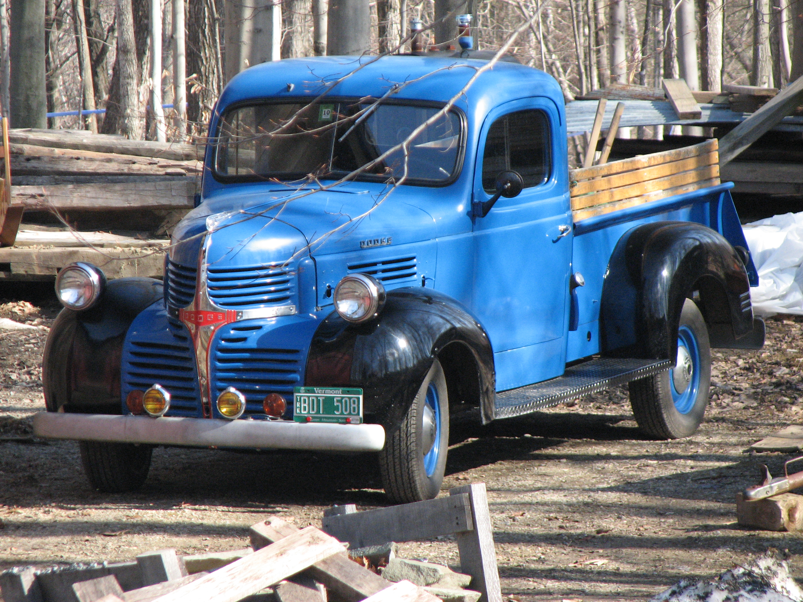
Breadloaf Mountain View Farm (2009) – antique Dodge truck
usa nature water stone vermont arch power riverside falls middlebury 1912 1976 vt riverview ottercreek stonearch waterpower nationalregisterofhistoricplaces nrhp greenmountainstate middleburyfalls addisoncounty clintonsmith josephbattell battellbridge middleburyvermontusa origamidon donshall energycoop vermontslongestriver 05753 76000223
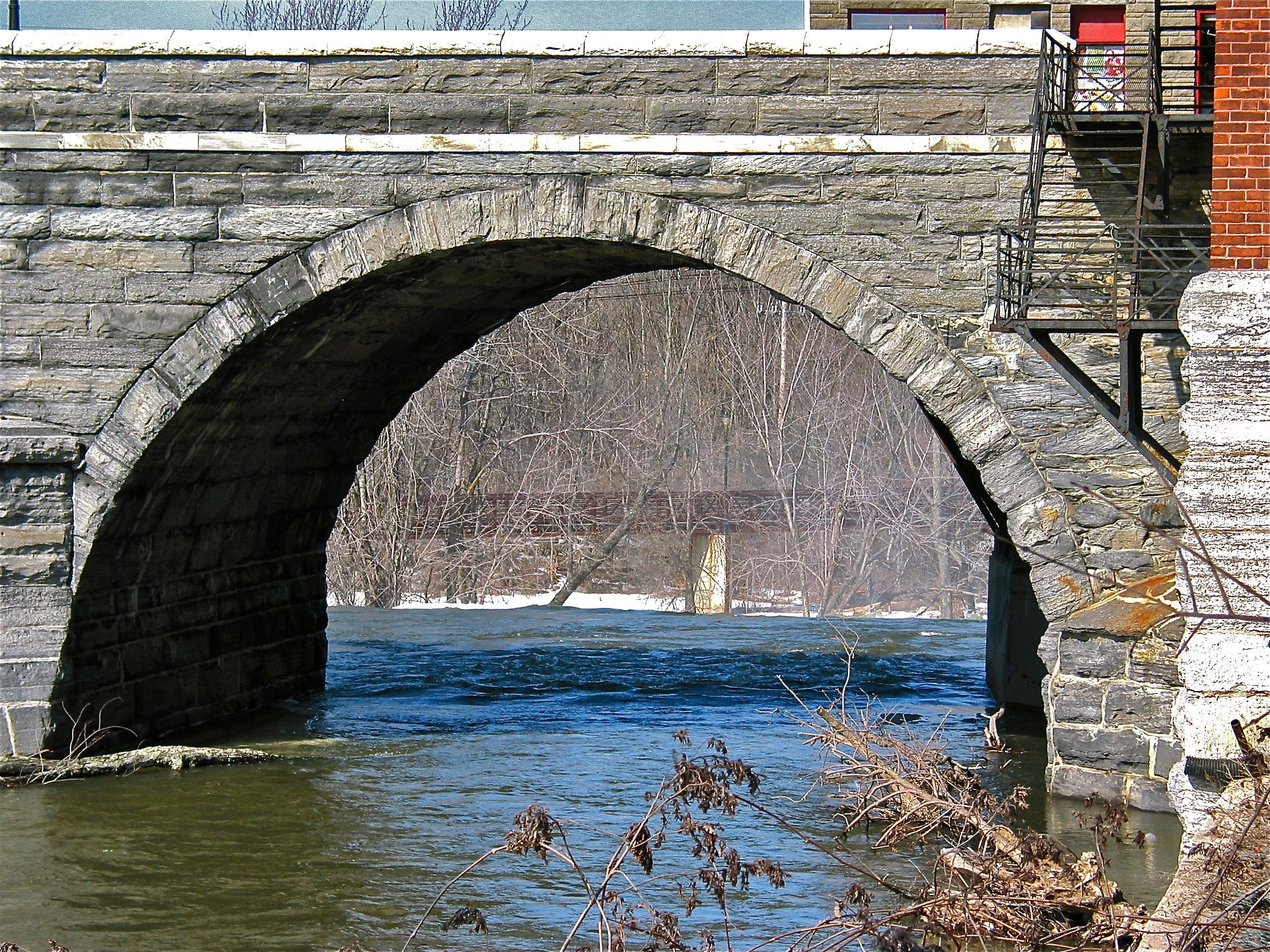
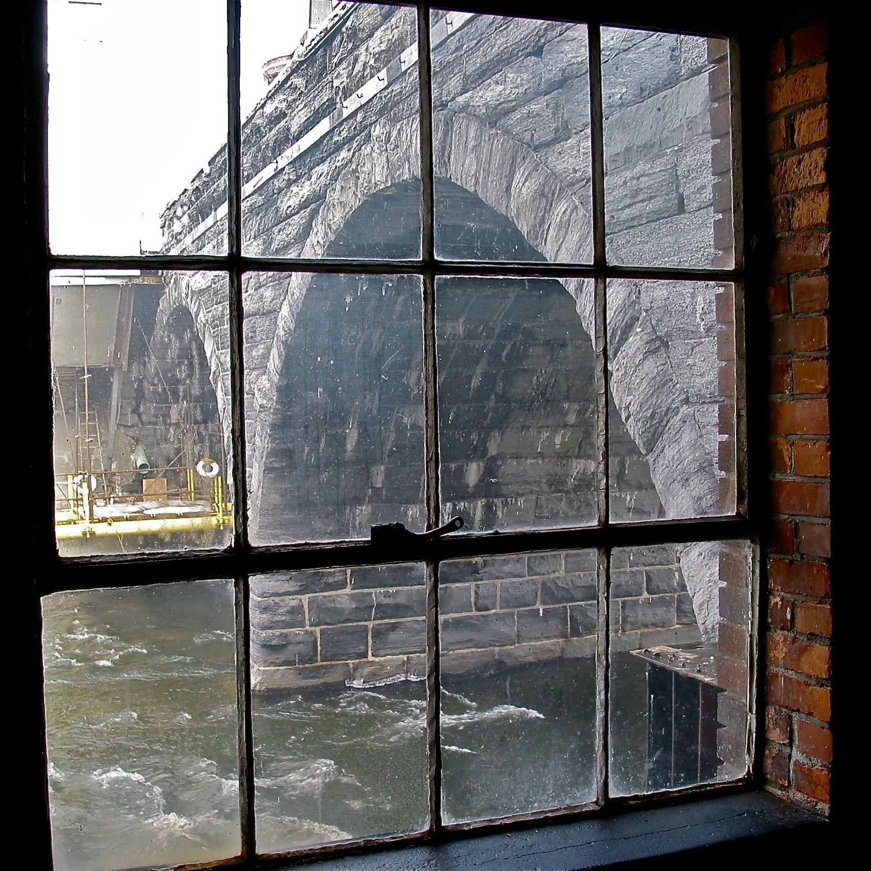
Battell Bridge (1892) – partial view of the south arch
bridge usa stone architecture vermont arch middlebury vt 1892 ottercreek nationalregisterofhistoricplaces cutstone nrhp greenmountainstate middleburyfalls addisoncounty clintonsmith josephbattell battellbridge middleburyvermontusa origamidon donshall 3arches 05753 76000223 middleburyvillagehistoricdistrict vermontstateregisterofhistoricplaces vsrhp mvhd
Battell Bridge (1892) – view of the northmost of the three arches, from the westside
redtailedhawk vermont nikond500 nikon200500mmf56
Red-tailed Hawk-VT Rt S 116-4386
trees sunset sky lake mountains green water yellow clouds forest landscape woods vermont adirondacks salisbury vt dunmore dmcg10
Overlooking Lake Dunmore
new england creek canon scott eos vermont newengland middlebury 7d otter hdr middleburycollege froghollow smithson ottercreek photomatix eos7d dtwpuck scottsmithson scottelliottsmithson
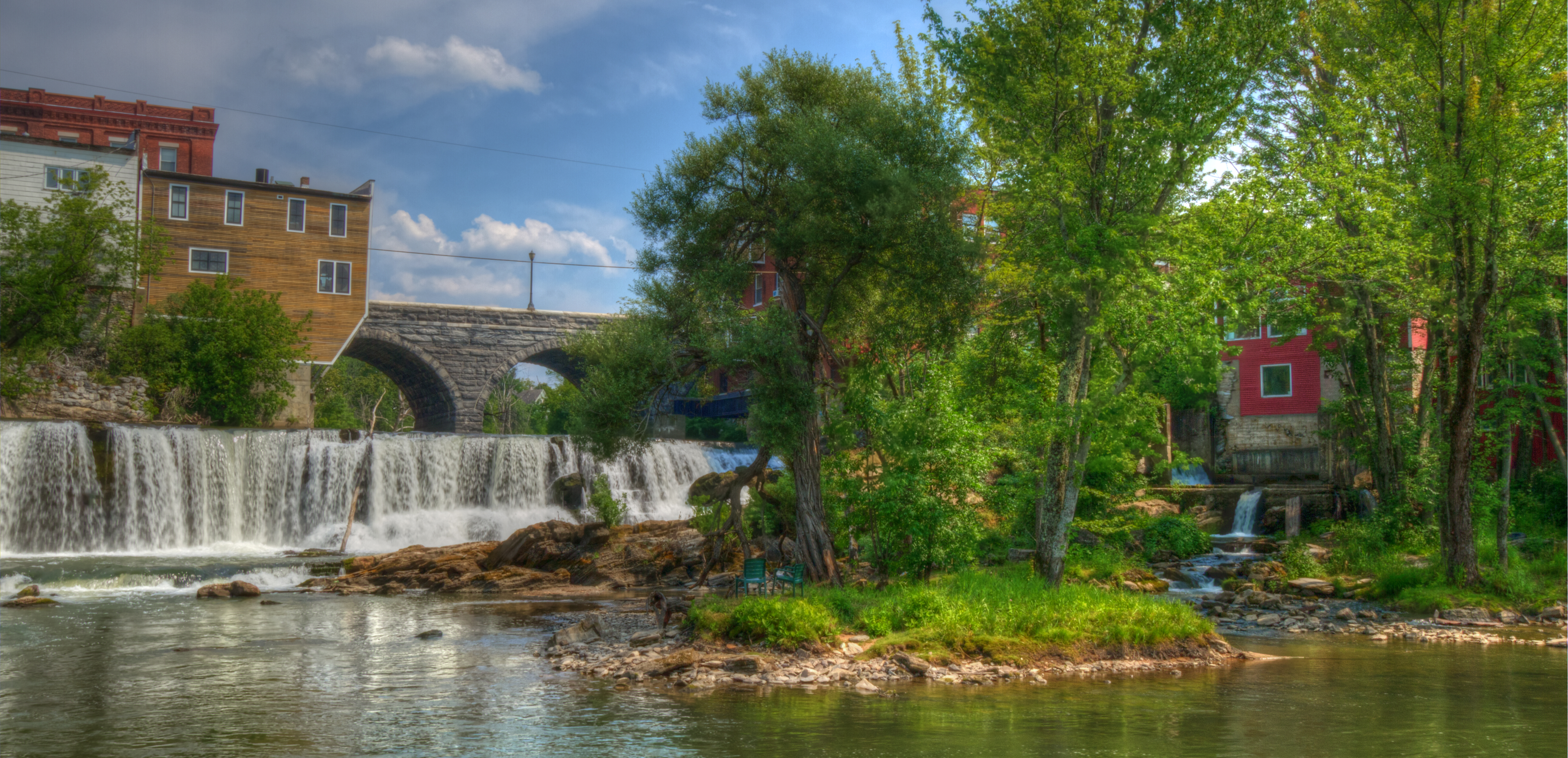
Otter Creek Waterfall Middlebury VT Wide
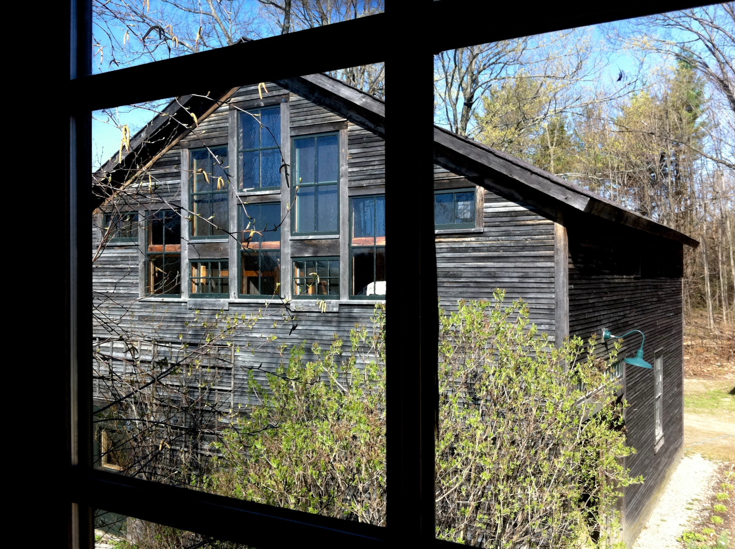
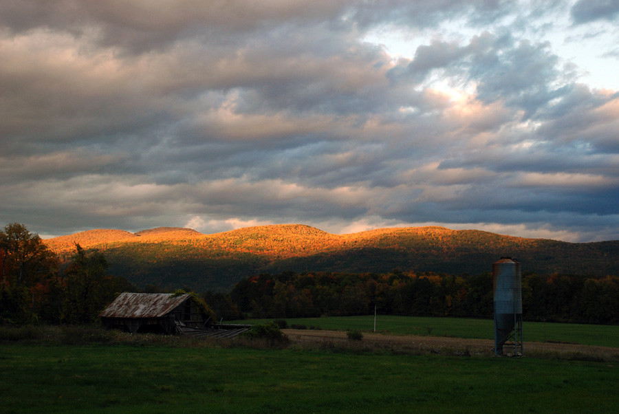
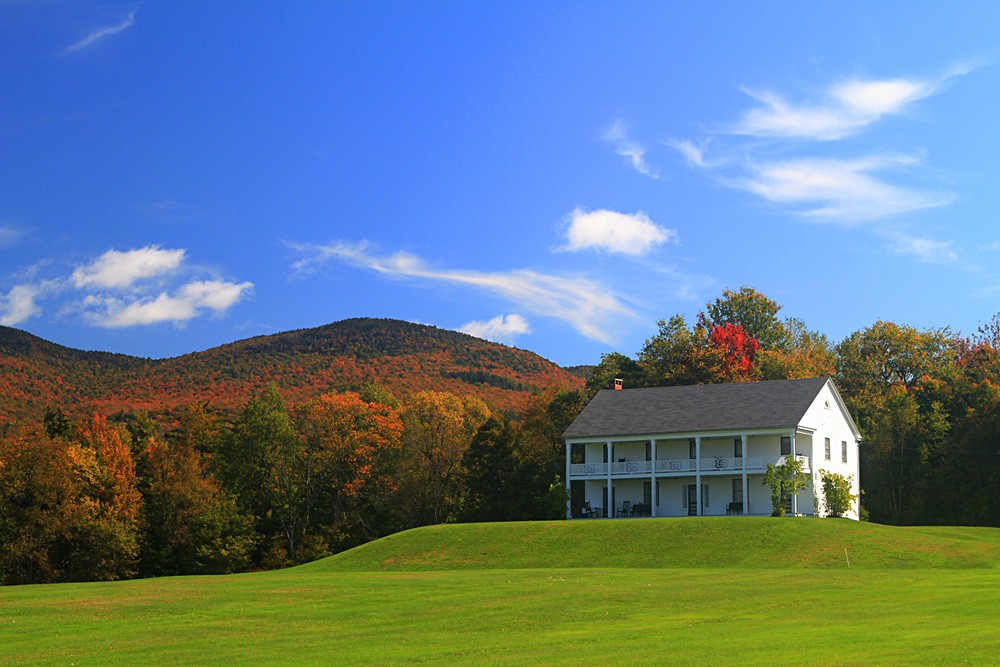
barn
The Barn
usa clouds cornfield vermont view middlebury vista vt greenmountains greenmountainstate addisoncounty middleburyvermontusa origamidon donshall 05753
addison.co.vista • green.mountains
mountain june vermont view snake vista vt 2013
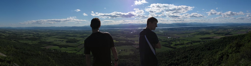
Taking in the view from Snake Mt, VT
uploaded:by=flickrmobile flickriosapp:filter=nofilter
35.27
usa nature water stone vermont arch power riverside falls middlebury 1912 1976 vt riverview ottercreek stonearch waterpower nationalregisterofhistoricplaces nrhp greenmountainstate middleburyfalls addisoncounty clintonsmith josephbattell battellbridge middleburyvermontusa origamidon donshall energycoop vermontslongestriver 05753 76000223
Battell Bridge (1892) – partial view of the center and north arch
park trees water forest waterfall woods vermont state falls salisbury vt branbury fallsoflana dmcg10
Down The Falls
bridge usa architecture construction vermont middlebury duplex 2009 vt excavator roundel crossstreet addisoncounty clintonsmith joshuahenshaw middleburyvermontusa origamidon donshall crossstreetbridge
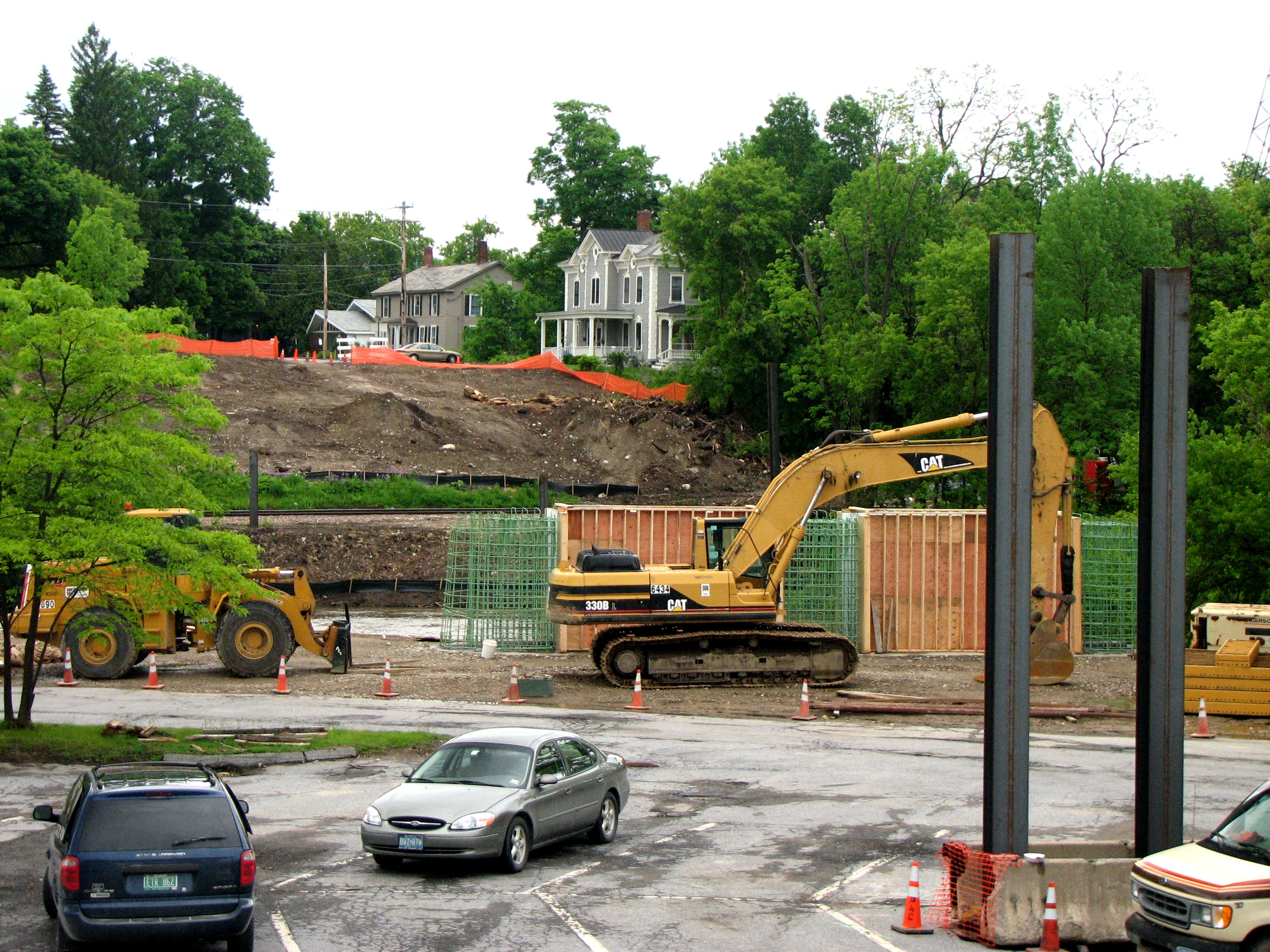
Cross Street Bridge - construction 2009
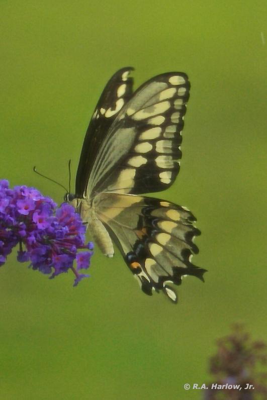
Giant Swallowtail, ventral view
trees winter sky white snow landscape vermont 100v10f middlebury hills fields
morning in white
barn rural landscape vermont farm addison addisoncounty
Rural Life
mountain newyork deleteme deleteme2 deleteme3 deleteme4 green landscape geotagged vermont saveme4 saveme5 saveme6 saveme savedbythedeletemegroup state saveme2 saveme3 saveme7 snake adirondacks saveme10 saveme8 saveme9 champlain kaddy geolat44065308 geolon73275443 deletehim optikverve
The Land of the Giants
trees winter white snow green landscape vermont barns 100v10f middlebury
the green barn
waterfall vermont silverlake fallsoflana nikond3 nikkor2470mmf28g
Falls of Lana
branburystatepark brandon greenmountainnationalforest greenmountains nationalforest northeast october salisbury suckerbrook usforestservice usfs unitedstatesforestservice vt vermont autumn fall fallcolors fallfoliage landscape leafpeeping nature travel
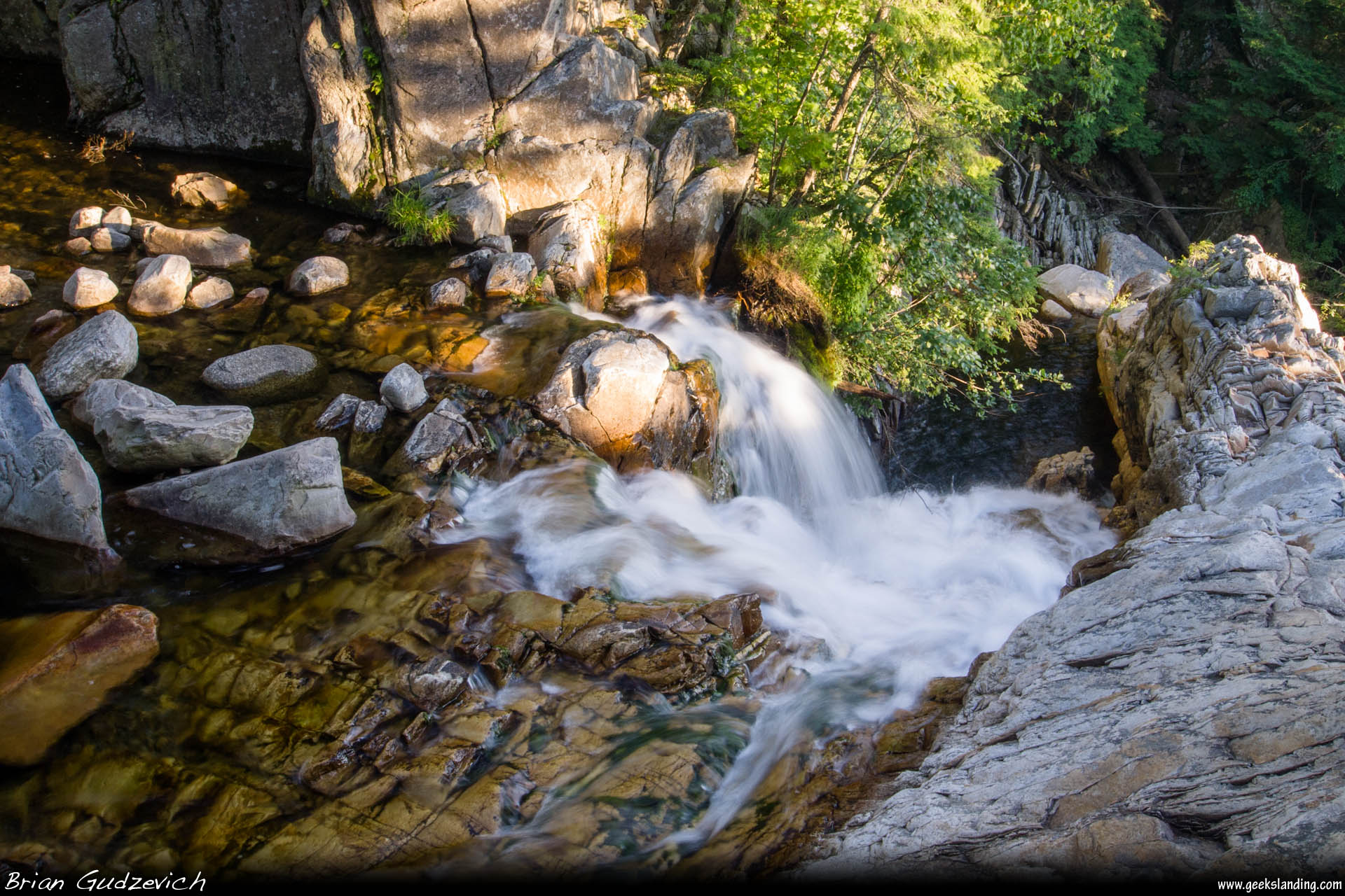
Rapids on Sucker Brook, Branbury State Park, Vermont
branburystatepark brandon fallsoflana newengland northeast northeasternunitedstates october salisbury vt vermont autumn fall fallcolors fallfoliage hike hiking landscape leafpeeping nature travel waterfall waterfalls
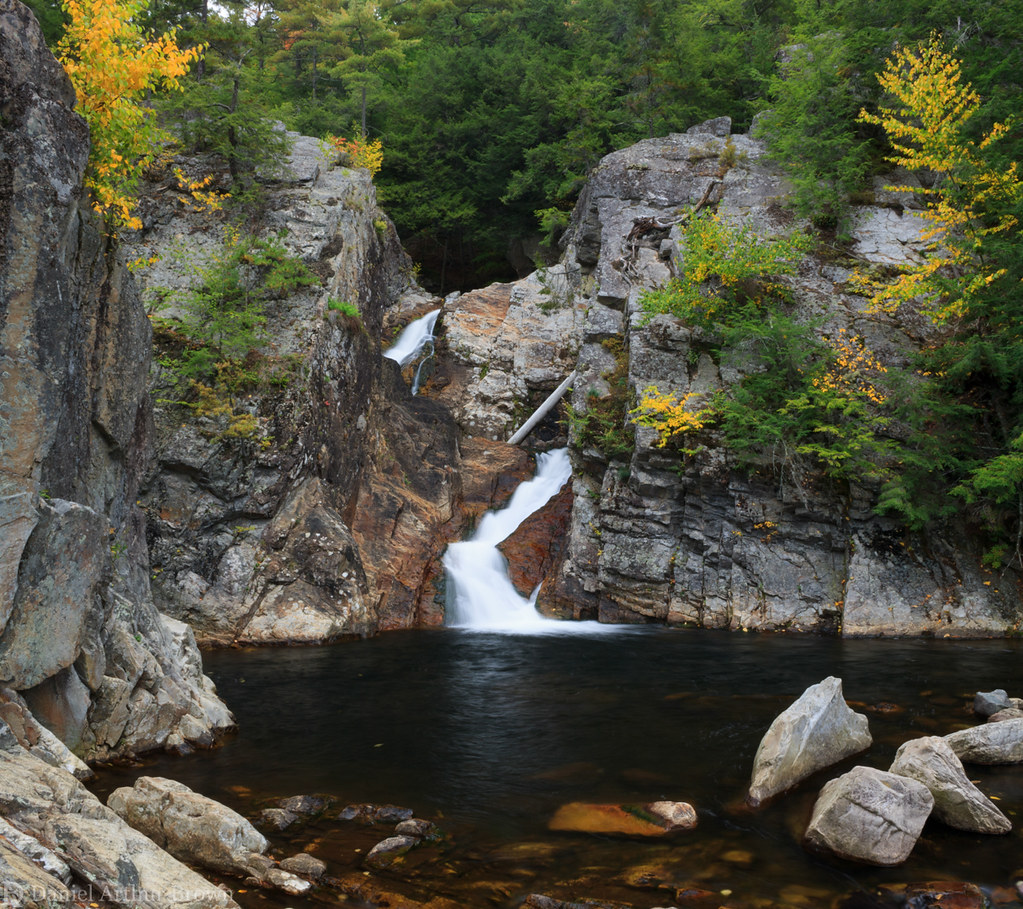
Falls of Lana, Upper Tier, Branbury State Park, Salisbury, Vermont
autumn trees light sunset sky orange mountains color clouds landscape vermont farm middlebury hills foliage fields
the hills are ablaze
autumn trees color macro leaves america landscape vermont middlebury foliage salisbury
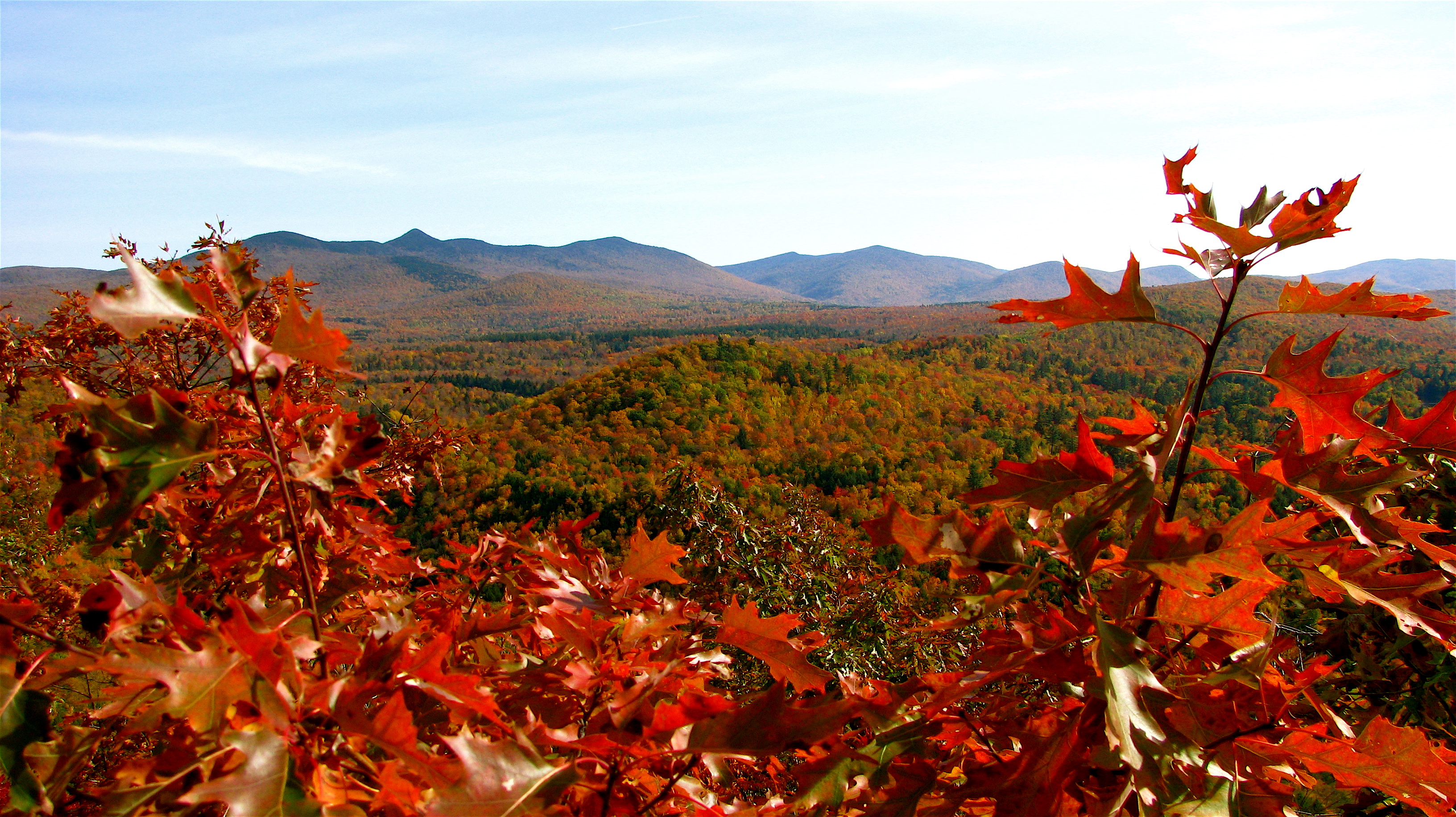
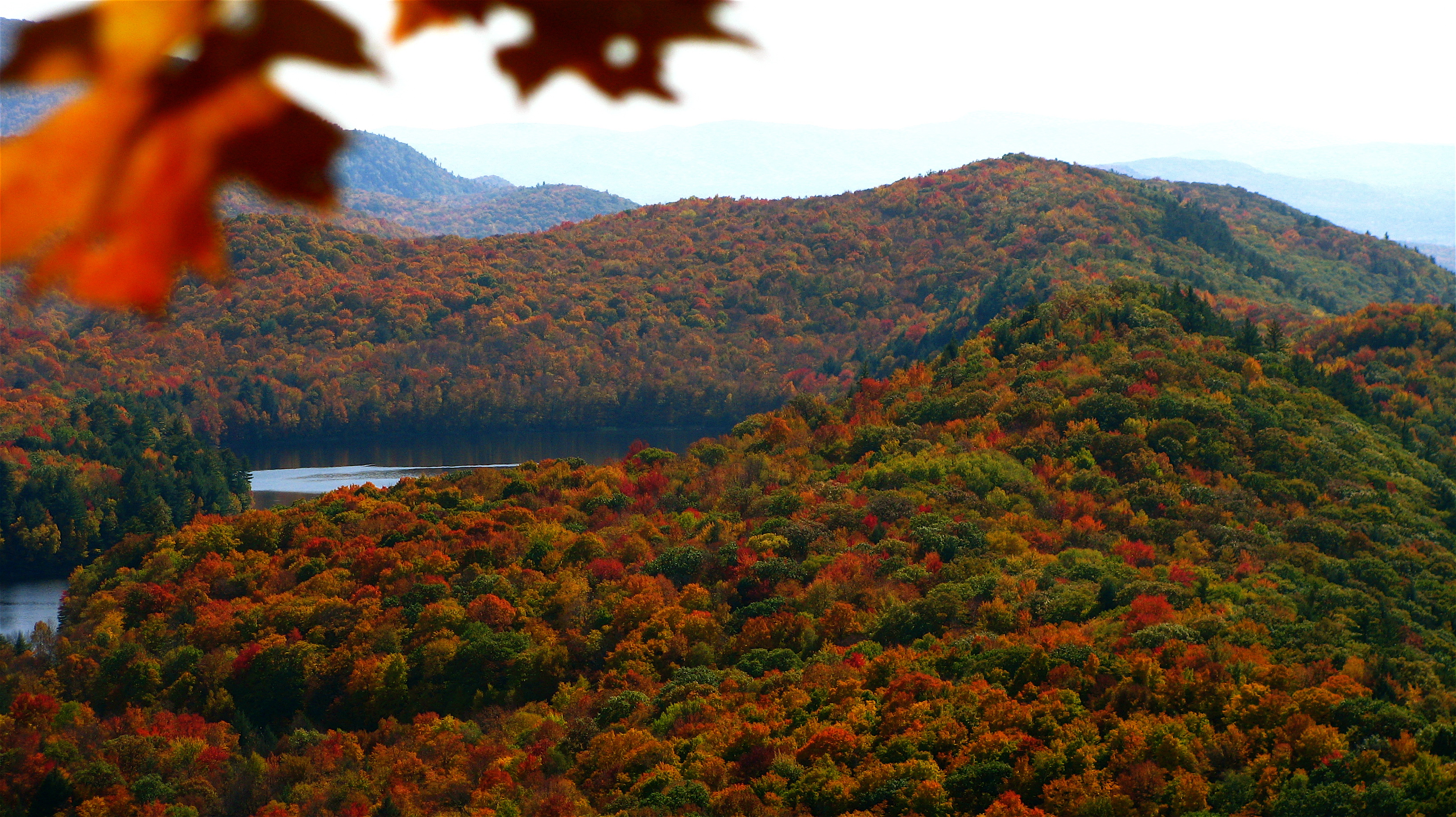
Autumn Panorama - Vermont
forest ripton
Gateway to the haunted forest
autumn usa fall landscape geotagged vermont unitedstates newengland fallfoliage middleburycollege breadloafcampus geo:lat=43952913 geo:lon=7299091
Vermont -- Middlebury College, Bread Loaf Campus in Early Fall
autumn trees color leaves america landscape vermont middlebury foliage salisbury
Silver Lake Foliage - Vermont
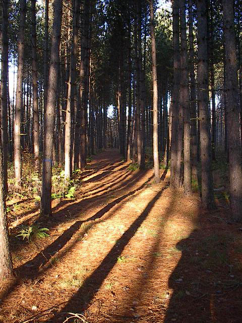
forest ripton
The long path
vermont
Otter Creek
autumn bristol vermont greenmountainnationalforest newhavenriver october2010
New Haven River
trees color green field landscape vermont bluesky salisbury puffyclouds greenmountains haybail
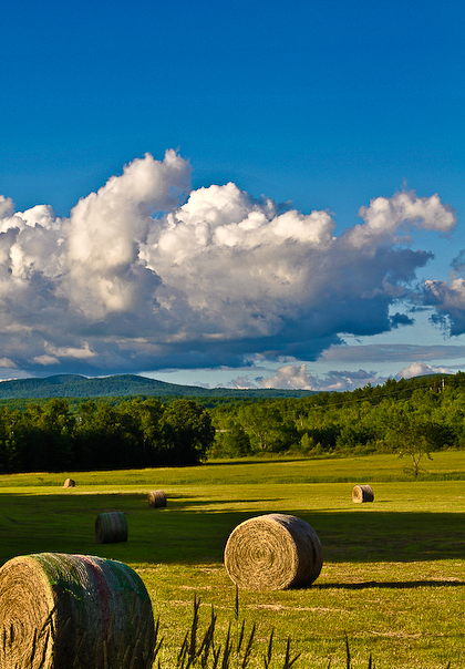
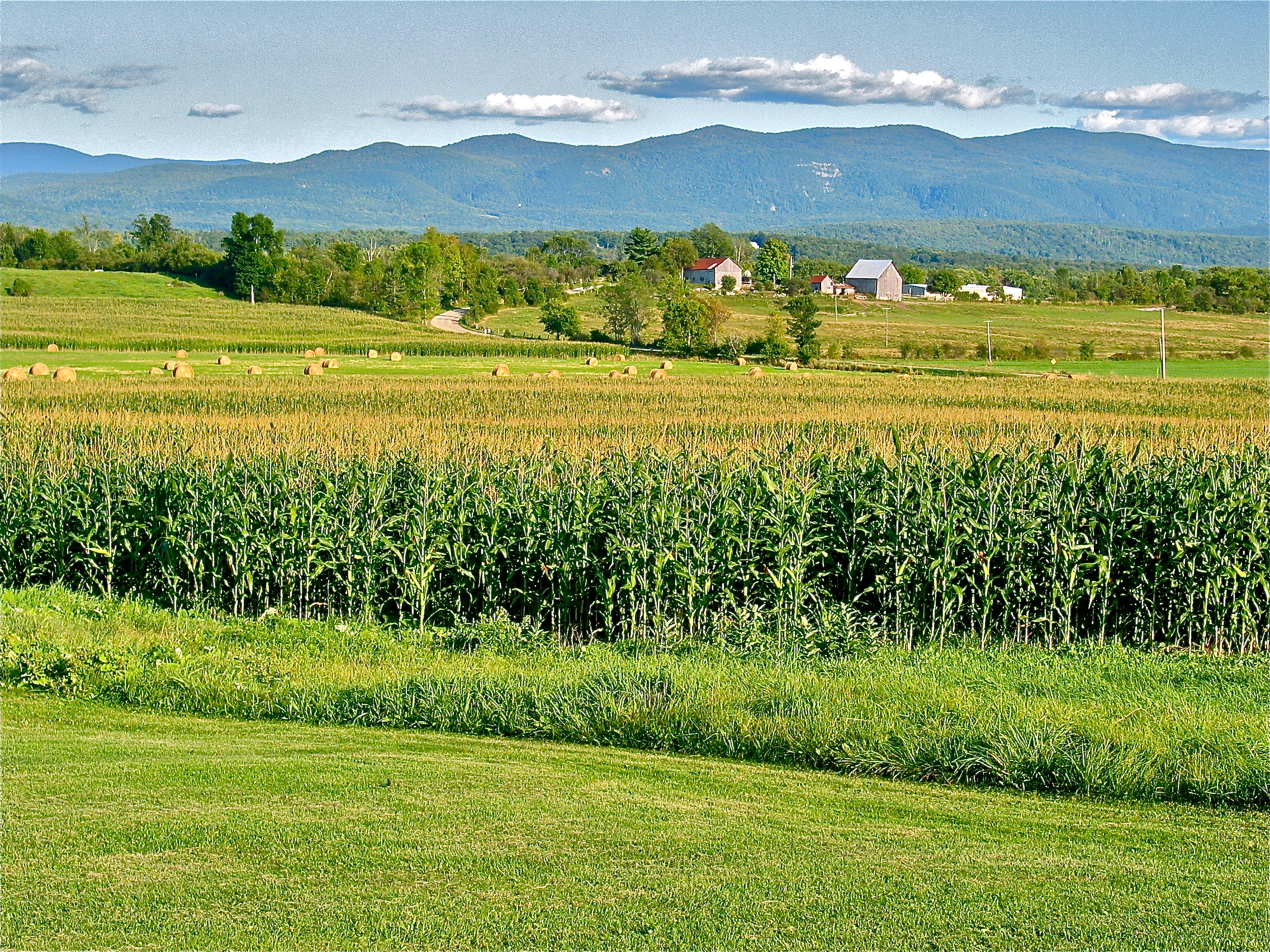
Harvest, Salisbury, Vermont
portrait sun lake storm color water rain clouds umbrella landscape rainbow vermont silverlake salisbury lakedunmore
Protection from the Storm
light sun storm color rain landscape boat rainbow vermont wideangle salisbury doublerainbow greenmountains lakedunmore
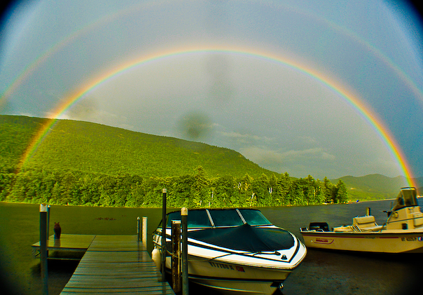
Double Rainbow, Lake Dunmore, Salisbury Vermont