Elevation of 71 Williamson St, Fall River, MA, USA
Location: United States > Massachusetts > Bristol County > Fall River >
Longitude: -71.131820
Latitude: 41.7089995
Elevation: 55m / 180feet
Barometric Pressure: 101KPa
Elevation Map:
Satellite Map:
Related Photos:

175/365 - Right Side Up?
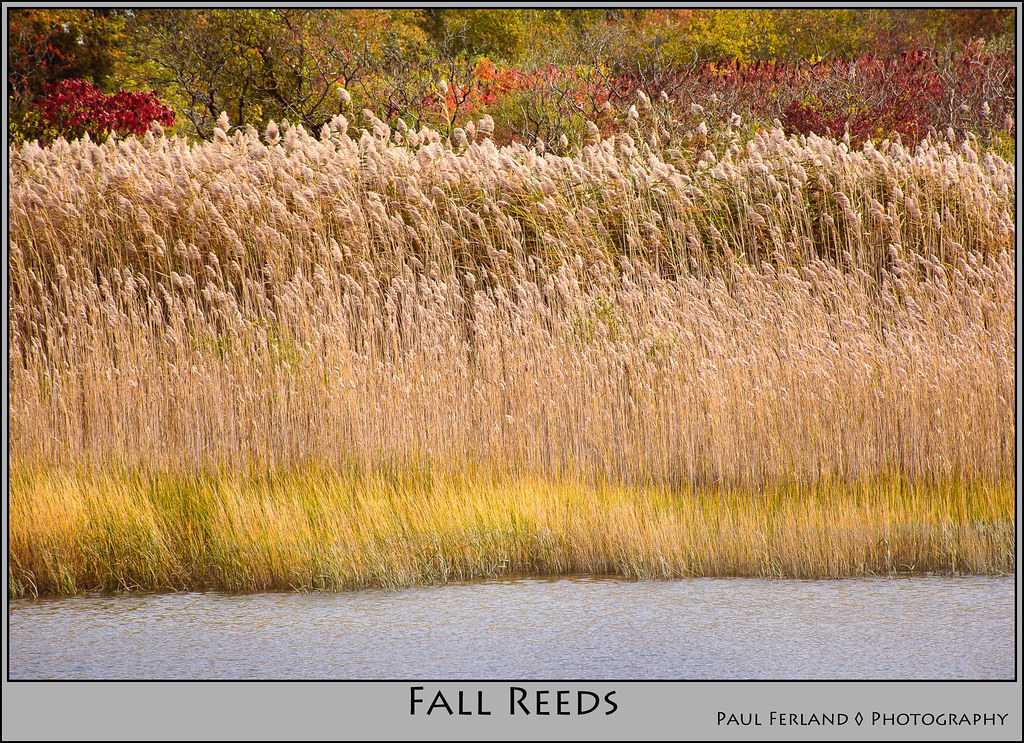
Fall Reeds

Early Morning Myst
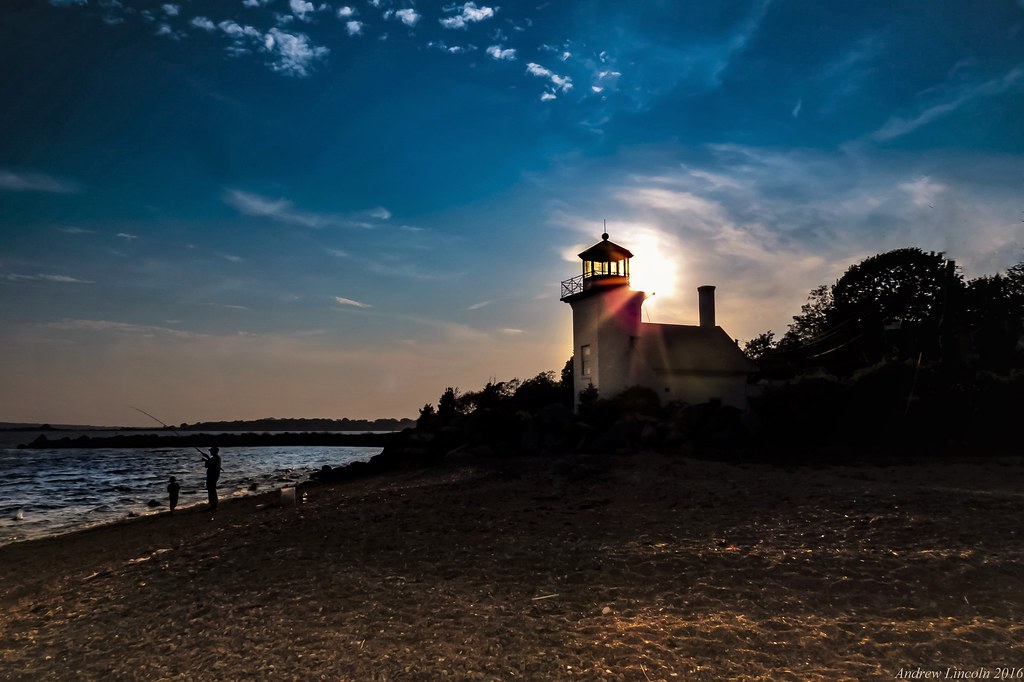
Bristol Ferry Lighthouse

Bristol by the water

1870 Boathouse at 38 Matthewson Rd Barrington RI

Yellow barn
24,178 Days...

Sunset Airburst
This came rolling in.

Lotus seeds

Dusk Bridge

Beach at Dusk

IMAG0636~2

Barrington, RI

Barrington Beach Sunset
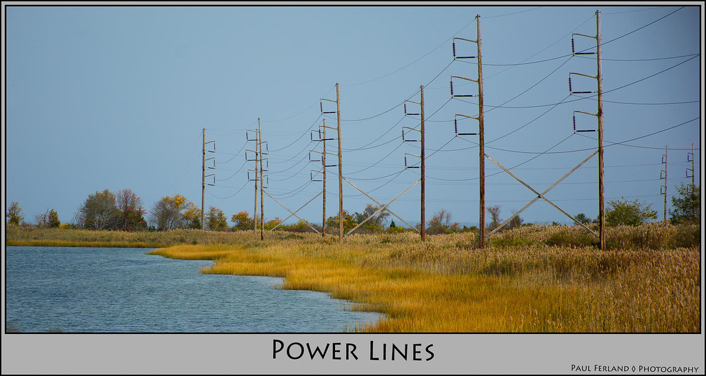
Power Lines
102-13-gorgeous-sunset

181/365 - Edge of the Woods
View from the last leg
.
Topographic Map of 71 Williamson St, Fall River, MA, USA
Find elevation by address:

Places near 71 Williamson St, Fall River, MA, USA:
231 Rathgar St
Garden Street
251 Cypress St
1100 President Ave
B.m.c Durfee High School
781 President Ave
373 Elsbree St
1562 Robeson St
105 Hanover St
President Avenue & Highland Avenue
President Avenue & Highland Avenue
226 Archer St
1800 Highland Ave
500 Herman St
Herman Street
140 Ace St
Morrison Street
North Main Street
Fall River, MA, USA
N Main St, Fall River, MA, USA
Recent Searches:
- Elevation of Corso Fratelli Cairoli, 35, Macerata MC, Italy
- Elevation of Tallevast Rd, Sarasota, FL, USA
- Elevation of 4th St E, Sonoma, CA, USA
- Elevation of Black Hollow Rd, Pennsdale, PA, USA
- Elevation of Oakland Ave, Williamsport, PA, USA
- Elevation of Pedrógão Grande, Portugal
- Elevation of Klee Dr, Martinsburg, WV, USA
- Elevation of Via Roma, Pieranica CR, Italy
- Elevation of Tavkvetili Mountain, Georgia
- Elevation of Hartfords Bluff Cir, Mt Pleasant, SC, USA