Elevation of 71 Chaparral Valley Way SE, Calgary, AB T2X 0Y2, Canada
Location: Canada > Alberta > Division No. 6 > Calgary > Chaparral >
Longitude: -114.01503
Latitude: 50.8875388
Elevation: 1002m / 3287feet
Barometric Pressure: 90KPa
Elevation Map:
Satellite Map:
Related Photos:

The corn that's left

Replica of Calgary’s 1893 Canadian Pacific Railway Station

Short corn

Rusty truck

American Kestrel

Cedar Waxwing

Spotted sandpiper
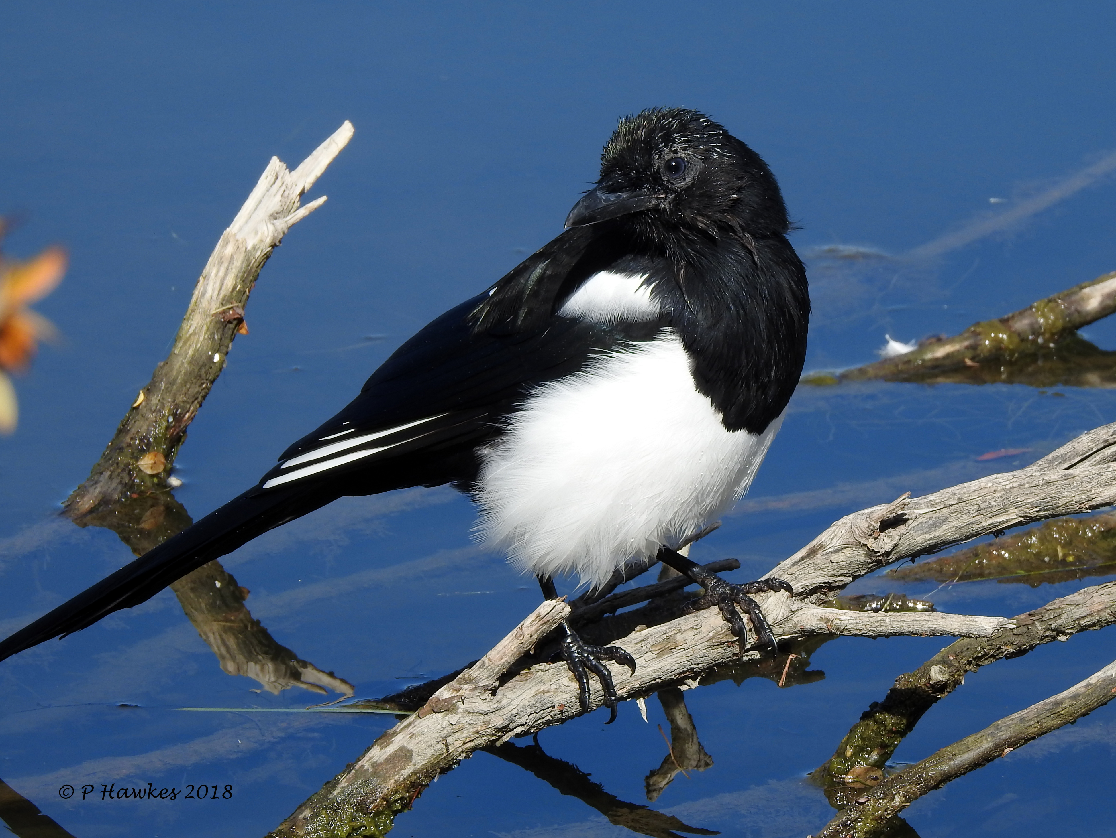
Black-billed Magpie
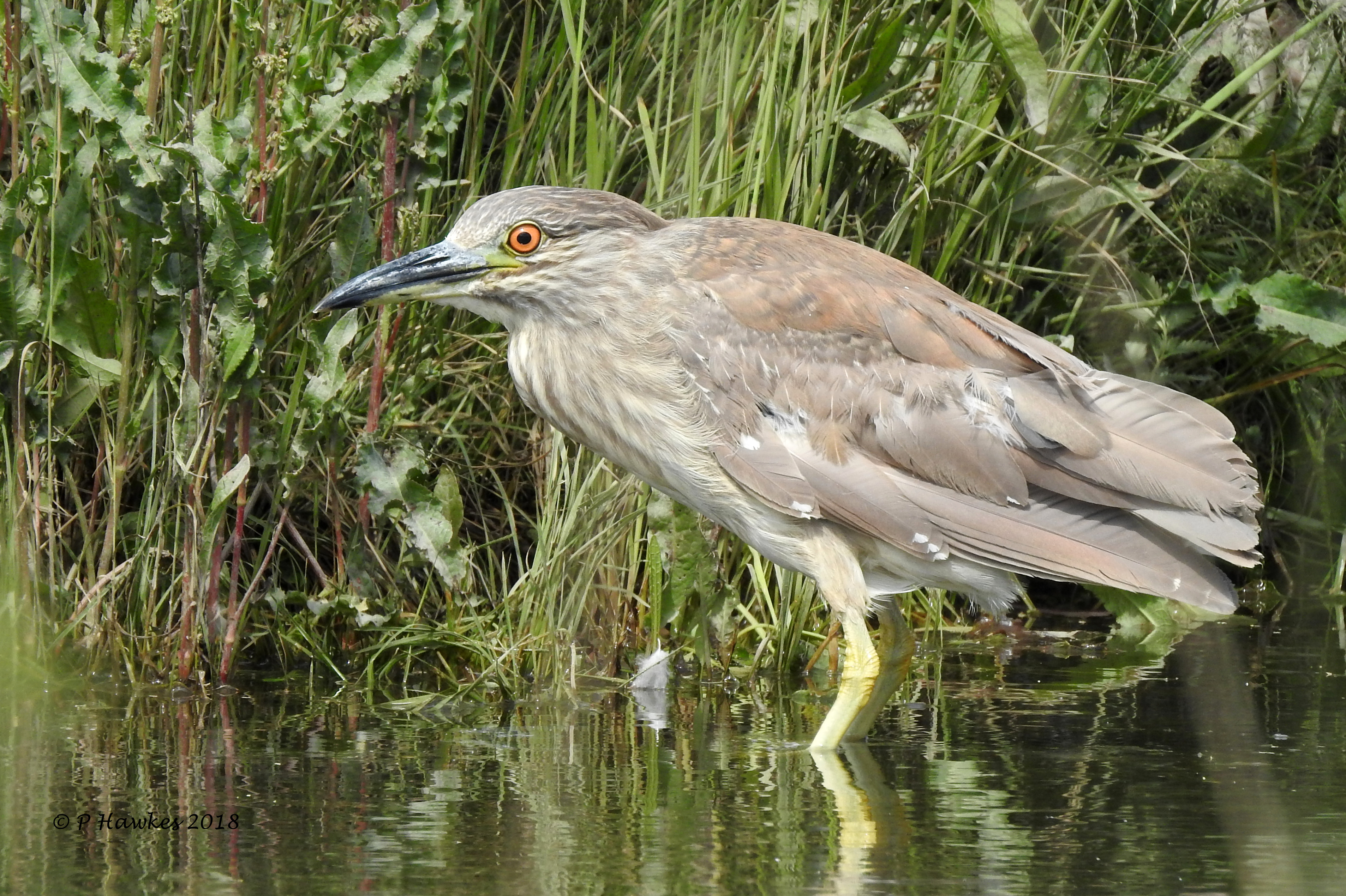
Black Crowned Night Heron

Black Crowned Night Heron
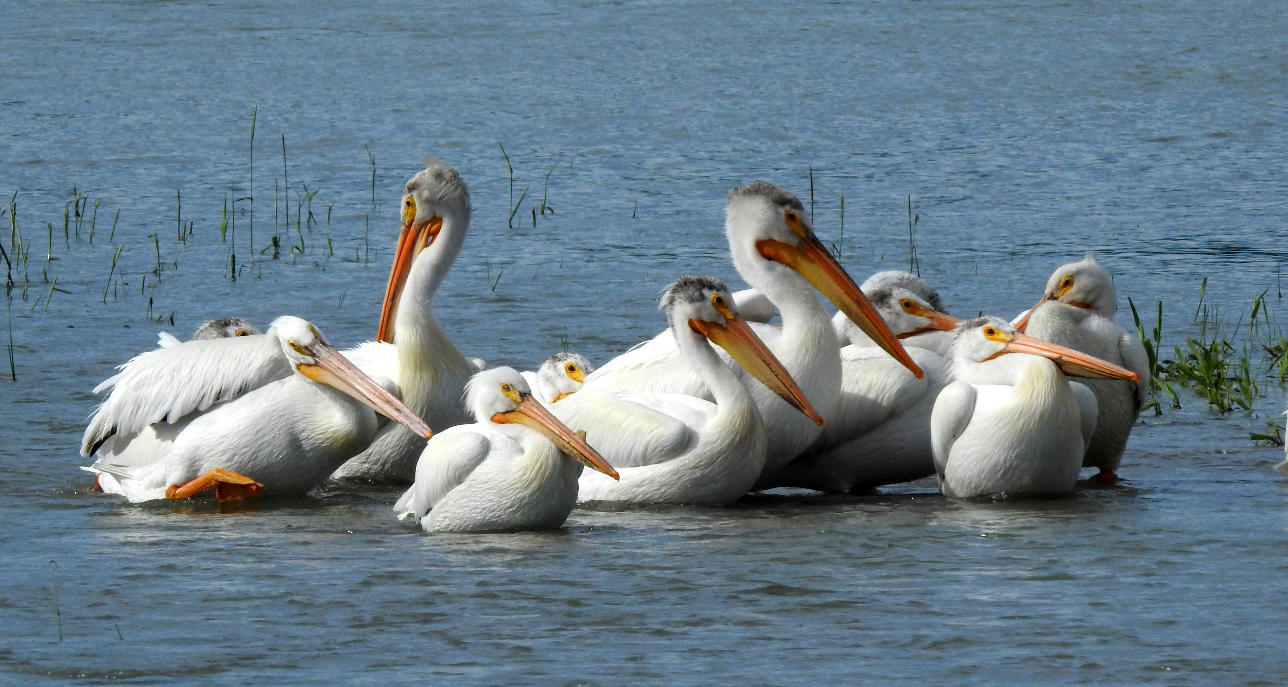
American White Pelican
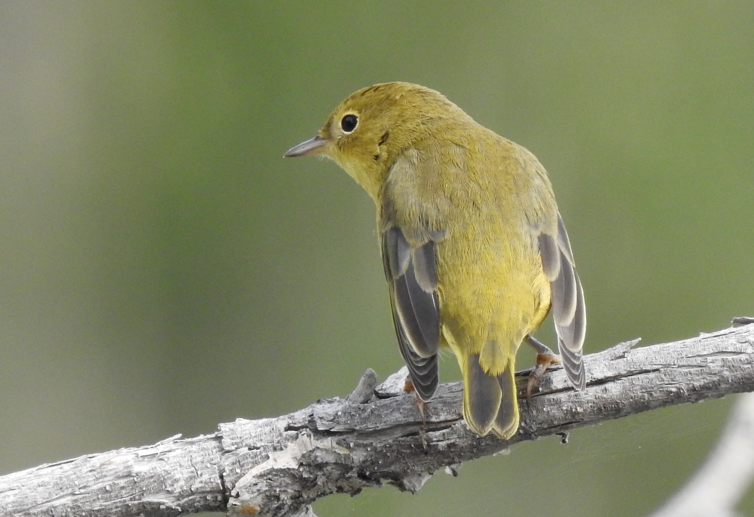
Yellow Warbler

Savannah Sparrow
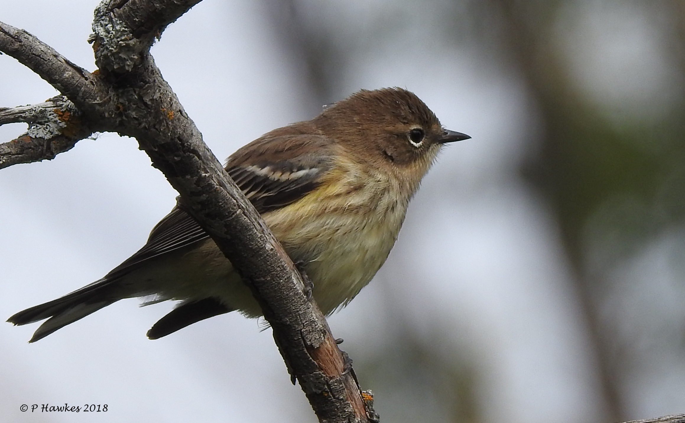
Yellow-rumped Warbler
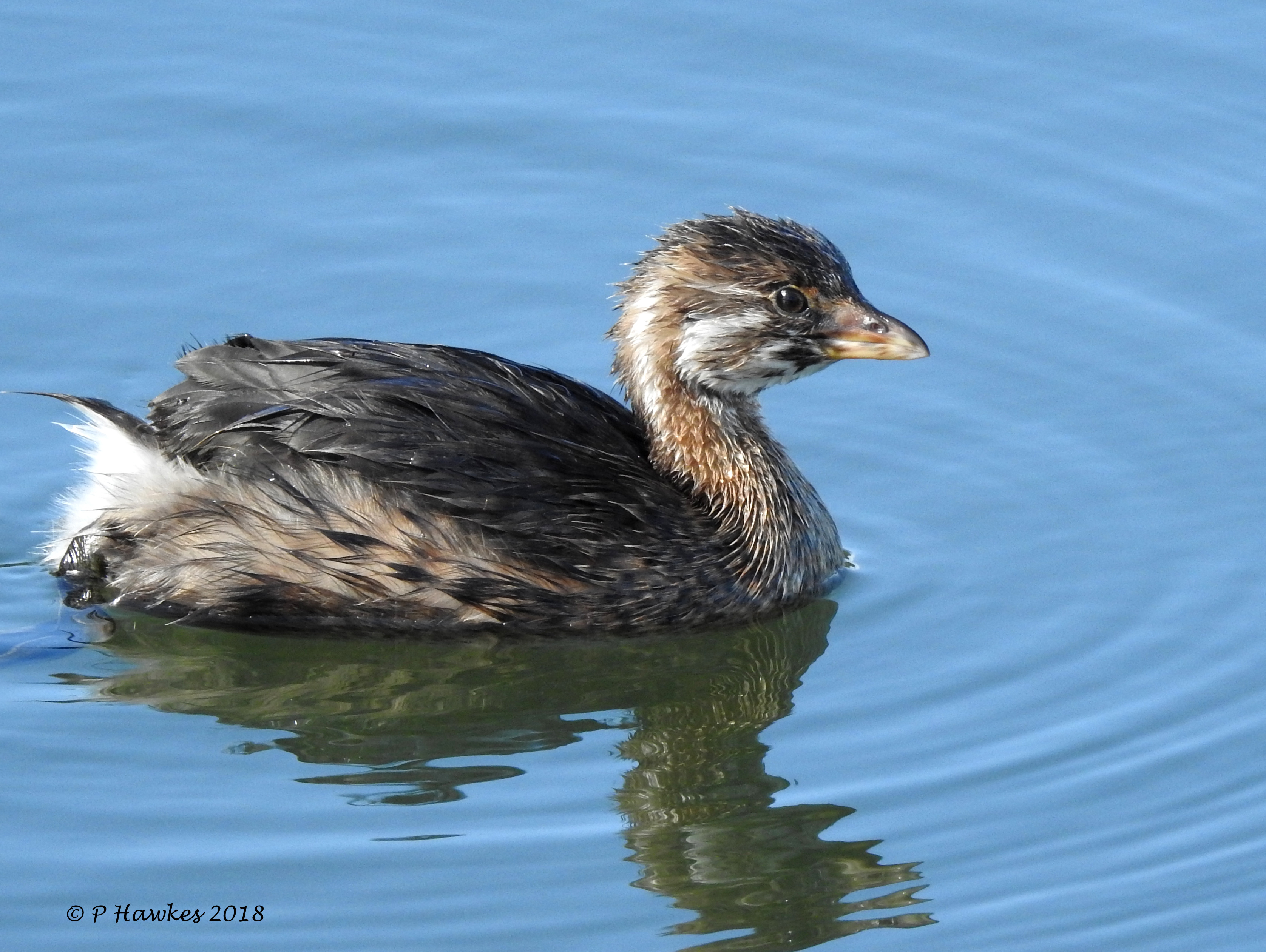
Pied-billed Grebe (Juv)
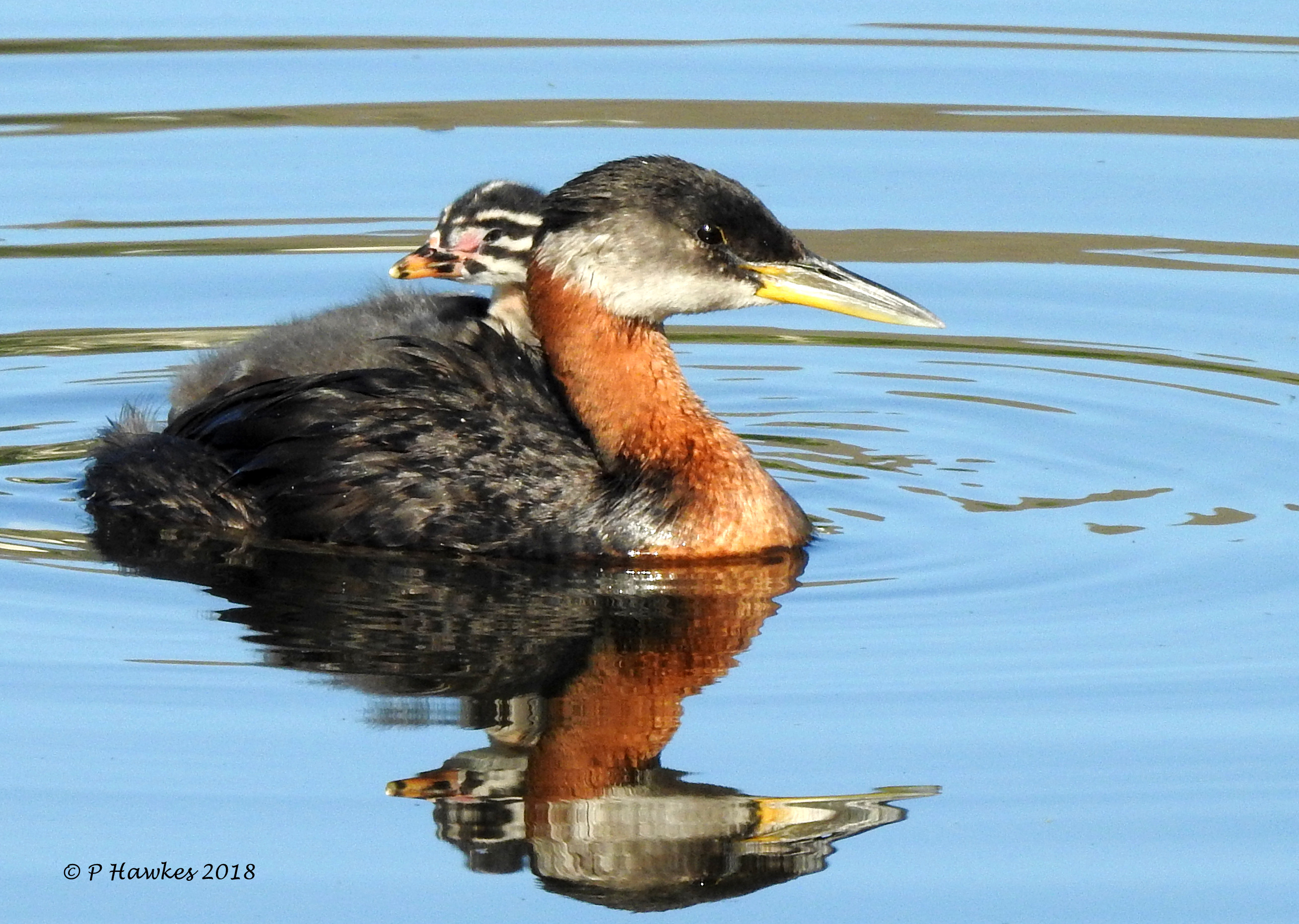
Red-necked Grebe
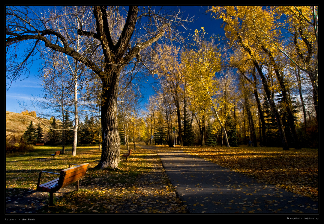
Autumn in the Park

Yellow-headed Blackbird

Least Flycatcher
2017-09-13_10-38-16 Naval Gun
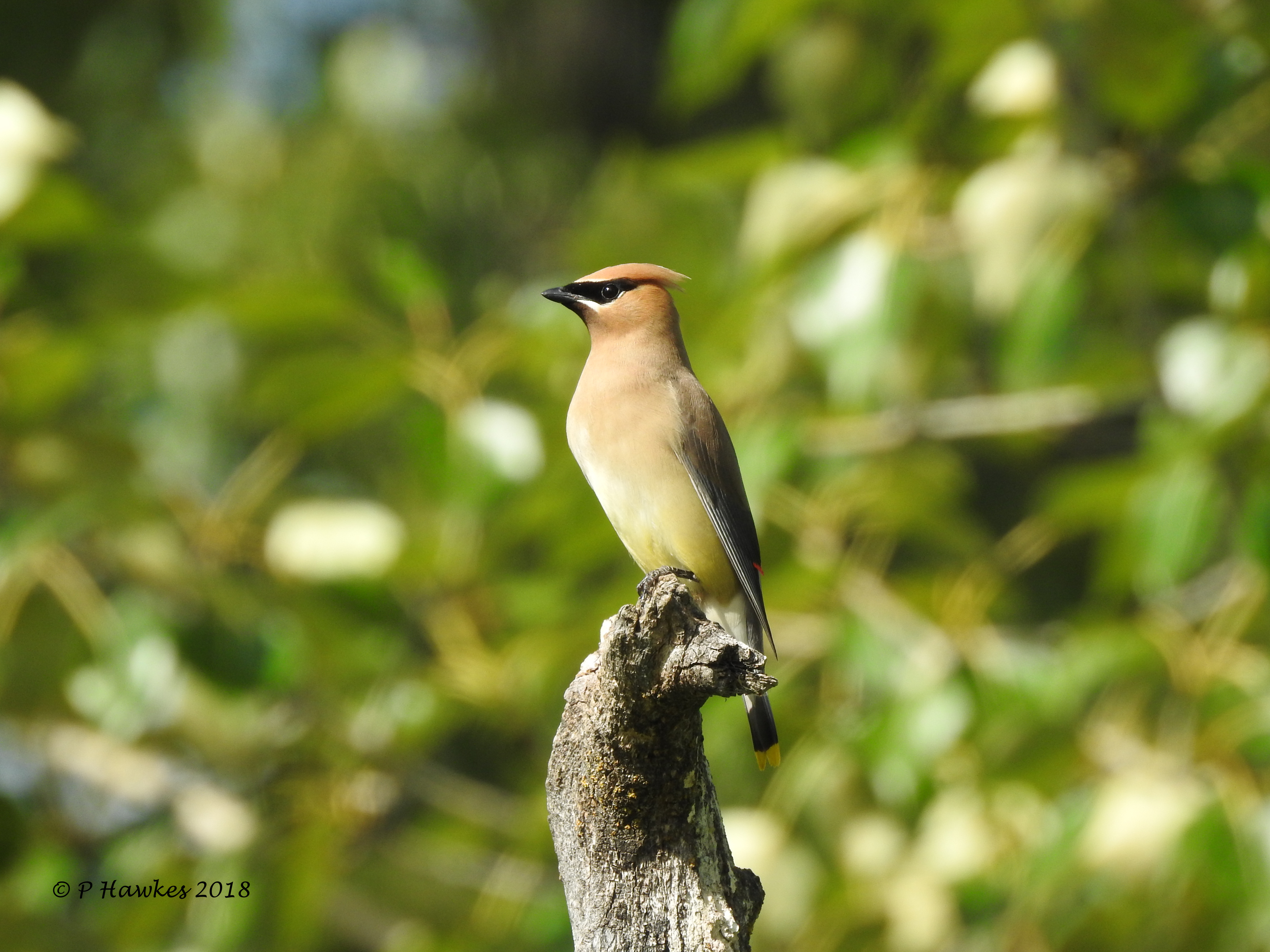
Cedar Waxwing
Topographic Map of 71 Chaparral Valley Way SE, Calgary, AB T2X 0Y2, Canada
Find elevation by address:

Places near 71 Chaparral Valley Way SE, Calgary, AB T2X 0Y2, Canada:
71 Chaparral Valley Way Se
Wolf Creek Street Southeast
Wolf Creek Street Southeast
Wolf Creek Manor Southeast
669 Walgrove Blvd Se
115 Wolf Hollow Park Se
Chaparral
89 Walgrove Gardens Se
80 Walgrove Terrace Se
Walgrove Heath Southeast
Walden
Mount Assiniboine Circle Southeast
Legacy
300 Walden Mews Southeast
Legacy Reach Circle Southeast
45 Legacy Woods Pl Se
Mckenna Place Southeast
25 Legacy Mount Se
176 Legacy Mount Se
Legacy Heath Southeast
Recent Searches:
- Elevation of Corso Fratelli Cairoli, 35, Macerata MC, Italy
- Elevation of Tallevast Rd, Sarasota, FL, USA
- Elevation of 4th St E, Sonoma, CA, USA
- Elevation of Black Hollow Rd, Pennsdale, PA, USA
- Elevation of Oakland Ave, Williamsport, PA, USA
- Elevation of Pedrógão Grande, Portugal
- Elevation of Klee Dr, Martinsburg, WV, USA
- Elevation of Via Roma, Pieranica CR, Italy
- Elevation of Tavkvetili Mountain, Georgia
- Elevation of Hartfords Bluff Cir, Mt Pleasant, SC, USA