Elevation of 70 Great Neck Rd, Wareham, MA, USA

Location: United States > Massachusetts > Plymouth County > Wareham > East Wareham >

Longitude: -70.682552

Latitude: 41.7482312

Elevation: 4m / 13feet

Barometric Pressure: 101KPa

Elevation Map:

elevation map of 70 Great Neck Rd, Wareham, MA, USA

Satellite Map:

Satellite map of 70 Great Neck Rd, Wareham, MA, USA

Related Photos:

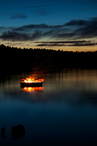
panorama massachusetts plymouth bluehour campcachalot tonemapped photomatixpro 365project fivemilepond cachalotscoutreservation afsdxvrzoomnikkor18200mmf3556gifedii 3652012
307/365 - Five Mile Pond, Kind of Blue
autumn sun flower fall daisies pretty naturallight frombelow daisie
Autumn daisies
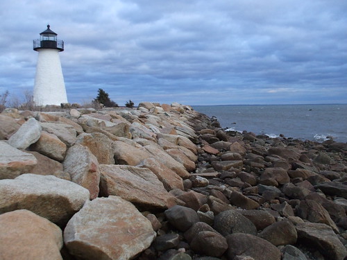
ocean light sea coastguard usa lighthouse water clouds america port point ma coast harbor rocks lighthouses waterfront massachusetts newengland atlantic american shore granite mass southcoast hafen fairhaven leuchtturm neds uscg buzzardsbay uscoastguard mattapoisett the4elements nedspointlighthouse lighthousetrek wbnawnema davensuze
Ned's Point Lighthouse, Mattapoisett, Massachusetts
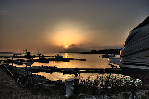
sunset boats pond nikon massachusetts plymouth hdr rowboats photomatix campcachalot 365project d7000 fivemilepond cachalotscoutreservation afsdxvrzoomnikkor18200mmf3556gifedii 3652012
189/365 - Boats at Rest
bird sparrow ipswich songbird ipsp ipswichsparrow ipswichsavannahsparrow
Savannah Sparrow (Passerculus sandwichensis princeps) - Ipswich form - dorsal view
Another View
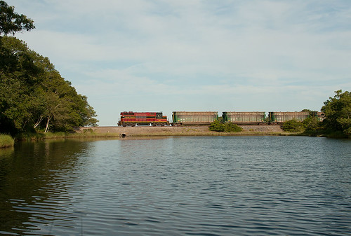
bridge train ma bay canal cape bourne mass cod buzzards
Cape Cod train bridge
sunset water boat hdr cataumet
Red Brook Harbor, Cataumet
3d anaglyph stereo tallship trainingship indonesiannavy kridewaruci massmaritimeacademy opsail2012
Indonesian training ship KRI Dewaruci
water reflections 3d anaglyph stereo tallship puddles rainclouds stormyskies capecodcanal trainingship rainyweather indonesiannavy kridewaruci massmaritimeacademy opsail2012 sunburstthrutheclouds
sunburst thru the clouds shines on the KRI Dewaruci
3d anaglyph stereo tallship rainclouds stormyskies capecodcanal trainingship rainyweather indonesiannavy kridewaruci massmaritimeacademy opsail2012
KRI Dewaruci's bow 2
3d anaglyph stereo tallship trainingship indonesiannavy kridewaruci chachamethod massmaritimeacademy opsail2012
training ship KRI Dewaruci
Dinner With a View
marina boats harbor capecod sandwich edbrodzinsky
in the harbor. . . .
square squareformat iphoneography instagramapp uploaded:by=instagram
Our view during #dinner last night. #Horizons restaurant at the end of the #CapeCod Canal in #Sandwich #massachusetts #instatraveling #instagram #instalike #capecodlife #bestofcapecod #travel
uploaded:by=flickrmobile flickriosapp:filter=nofilter
Cape Cod train bridge
plymouth massachusetts unitedstates us drone fivemilepond campcachalot cachalotscoutreservation pond sunset landscape
A Different View
cove view.JPG
View from Bourne Scenic Highway
bench ma rainyday capecod sandwich greatview sandwichma shawmepond
Front Row Seating
Monument Beach Re-edit
pink sunset sky mer water colors rose clouds lumix eau quiet peace dusk couleurs bateaux panasonic ciel cote nuages calme massachussetts mattapoisett quietude borddemer gx7
The Pink Hour / L'Heure Rose
2018 capecod ocean large 0518 falmouth massachusetts unitedstates us clichésaturday
Wild Harbor
sea sky large 0814 northfalmouthma iphone5sbackcamera412mmf22 iphone36530
Fiddler's Cove
There's love in the air!
sky lake clouds forest pond skies state massachusetts myles standish
East Head Pond
old november sunset beach silver landscape geotagged capecod cape cod falmouth oldsilverbeach geolat41623398 geolon70640287
Old Silver Beach :: 4:26 p.m.
Good morning, Shipyard Park. March
retreat
Sunset in Pocasset
farm massachusetts harvest cranberry wareham cranberrybog plymouthcounty makepeacefarms
Makepeace Farms, Wareham
Track Lines
Sandwich Center at Sunset
moon fog dusk surreal eerie lunar
Lunar Landscape
sunrise landscapes seascapes plymouthharbor stephensfield plymouthlongbeach plymouthmaphotographer heidihartingphotography
sunset | plymouth harbor
cloudy sunset big.JPG
mashnee island monument beach cape code canal dji mavic
Mashnee Island from Monument Beach
green river trees longexposure water
River In The Forest
campcachalot familycamping cachalotscoutreservation campcachalotalumniassociation afsdxnikkor18300mm3556gedvr
Waterfire, Cachalot-Style
square squareformat iphoneography instagramapp uploaded:by=instagram
Good morning, Shipyard Park. February 21, 2015
plymouthmaphotographer heidihartingphotography inmygardenseries
Series: In my garden, or maybe yours...
Crossed Off
sunset boats dusk capecod bourne monumentbeach
Monumental Sunset