Elevation of 70 Clarence Ridge Rd, Rollingdam, NB E5A 2K7, Canada
Location: Canada > New Brunswick > Charlotte County > Rollingdam >
Longitude: -67.002119
Latitude: 45.314418
Elevation: 115m / 377feet
Barometric Pressure: 100KPa
Elevation Map:
Satellite Map:
Related Photos:

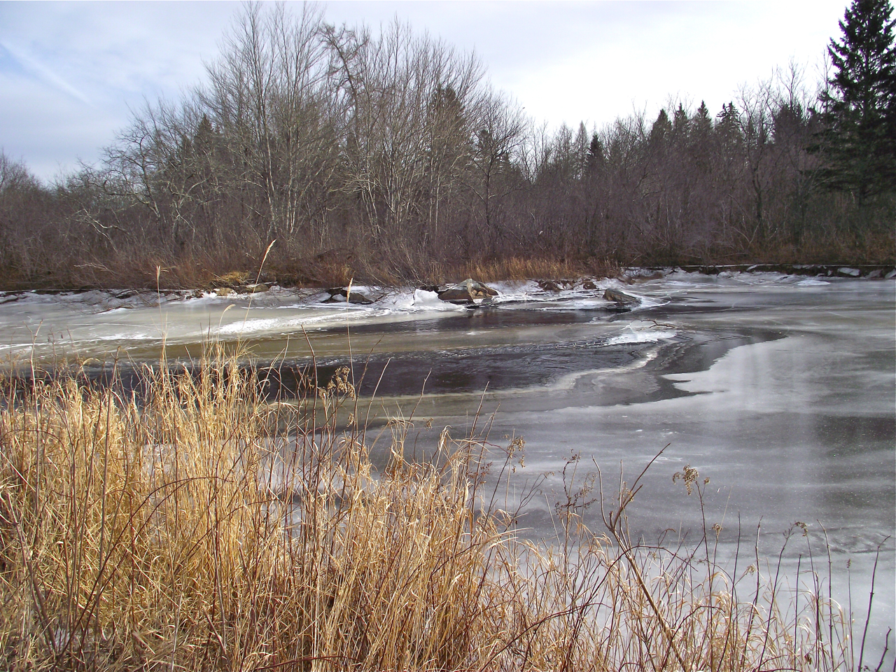
Roadside Pond, Board Road, Charlotte Co., N.B.
Dumbarton Covered Bridge-04
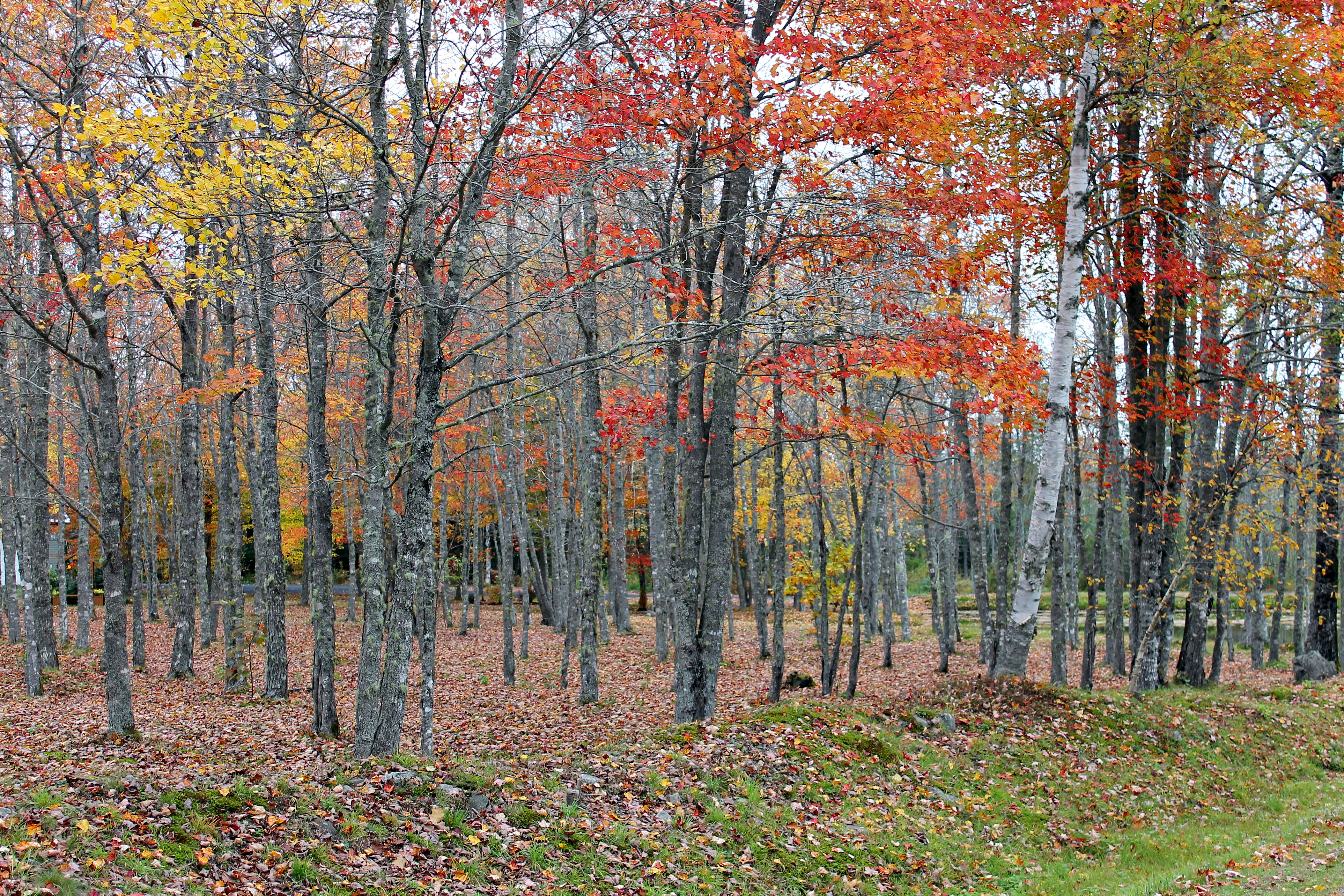
October Foliage At Black's Pond On The Board Road.
Topographic Map of 70 Clarence Ridge Rd, Rollingdam, NB E5A 2K7, Canada
Find elevation by address:

Places near 70 Clarence Ridge Rd, Rollingdam, NB E5A 2K7, Canada:
70 Clarence Ridge Rd
70 Clarence Ridge Rd
70 Clarence Ridge Rd
70 Clarence Ridge Rd
Mccann Covered Bridge
Rollingdam
Saint Patrick
Dumbarton
Saint George
Bocabec
309 Tryon Rd
309 Tryon Rd
Saint Croix
19-19
130 Paradox Point
130 Paradox Point
E5a 3b1
Saint Andrews
Eagles Passage
57 Cottage Ln, Oak Bay, NB E3L 4H6, Canada
Recent Searches:
- Elevation of Corso Fratelli Cairoli, 35, Macerata MC, Italy
- Elevation of Tallevast Rd, Sarasota, FL, USA
- Elevation of 4th St E, Sonoma, CA, USA
- Elevation of Black Hollow Rd, Pennsdale, PA, USA
- Elevation of Oakland Ave, Williamsport, PA, USA
- Elevation of Pedrógão Grande, Portugal
- Elevation of Klee Dr, Martinsburg, WV, USA
- Elevation of Via Roma, Pieranica CR, Italy
- Elevation of Tavkvetili Mountain, Georgia
- Elevation of Hartfords Bluff Cir, Mt Pleasant, SC, USA