Elevation of 6, VA, USA
Location: United States > Virginia > Shenandoah County >
Longitude: -78.372845
Latitude: 38.9767344
Elevation: 207m / 679feet
Barometric Pressure: 99KPa
Elevation Map:
Satellite Map:
Related Photos:

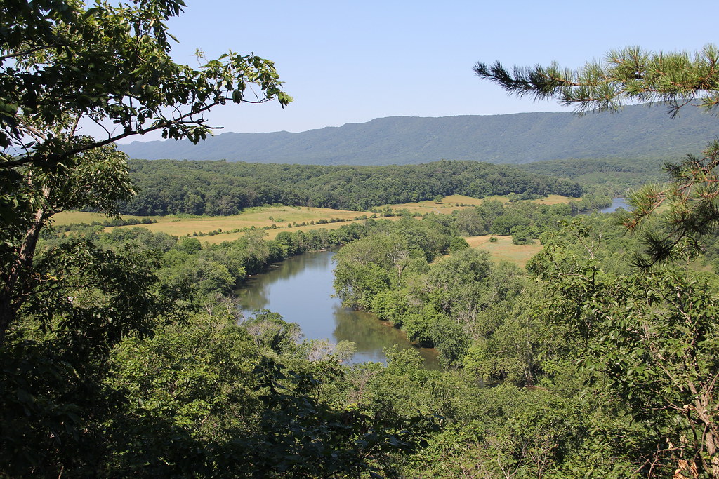
Shenandoah River State Park - View From Cullers Overlook
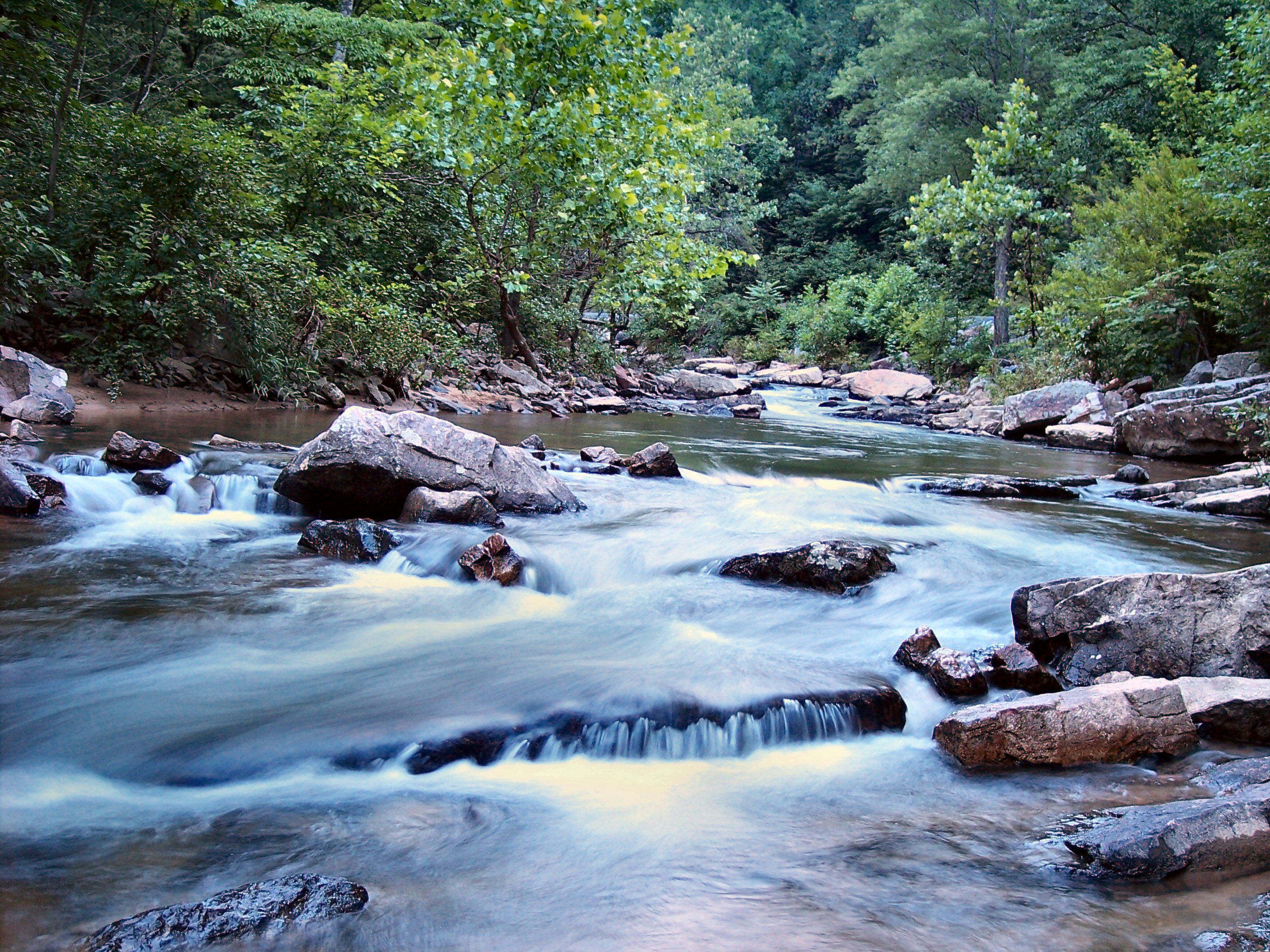
Passage Creek Up Stream
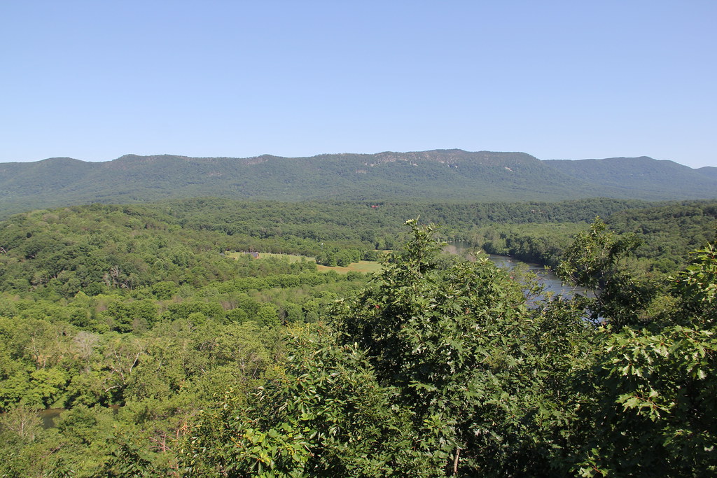
Shenandoah River State Park - View From Cullers Overlook
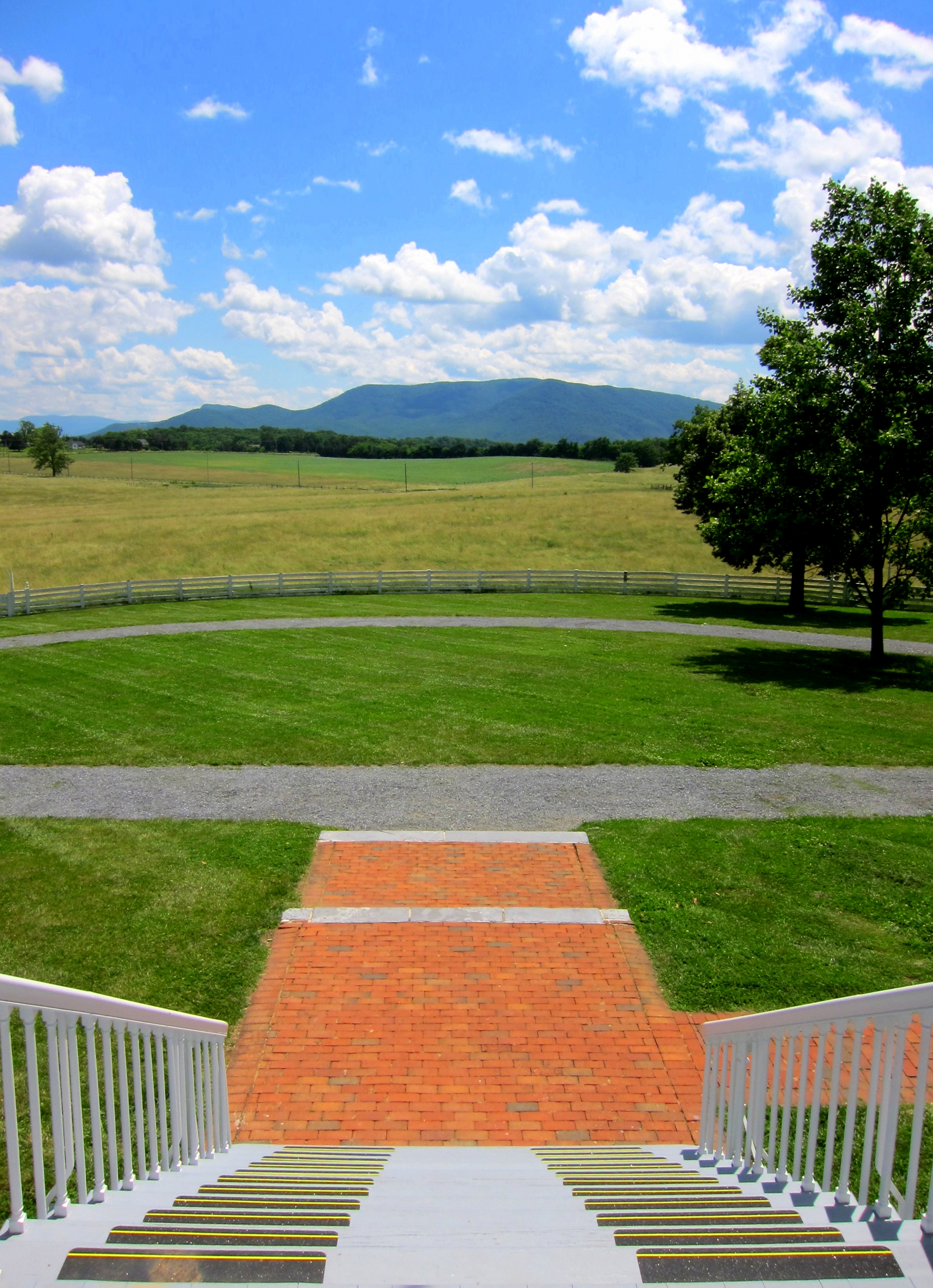
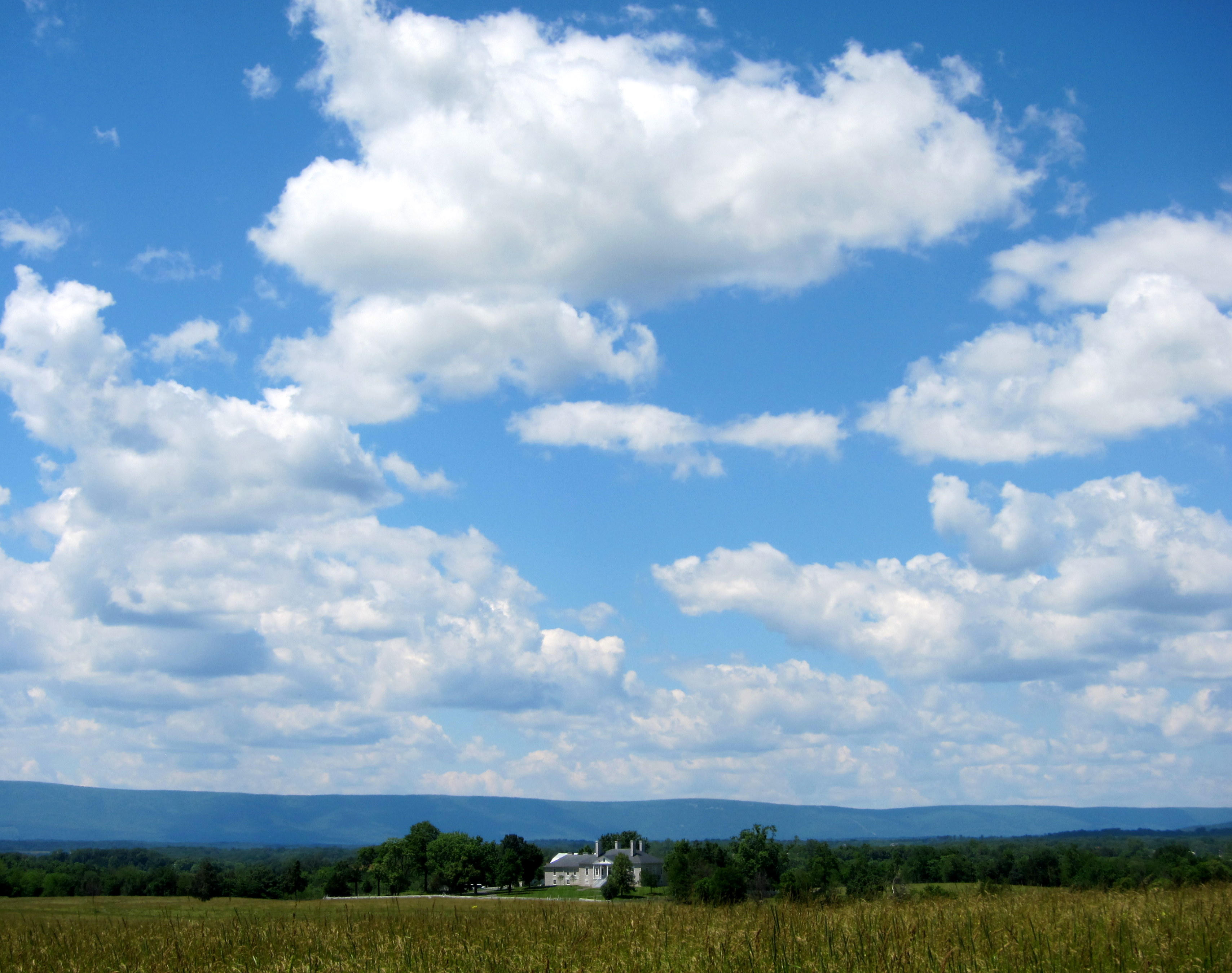
View from Belle Grove
Woodstock_Va_towerview.jpg
Shenandoah River State Park
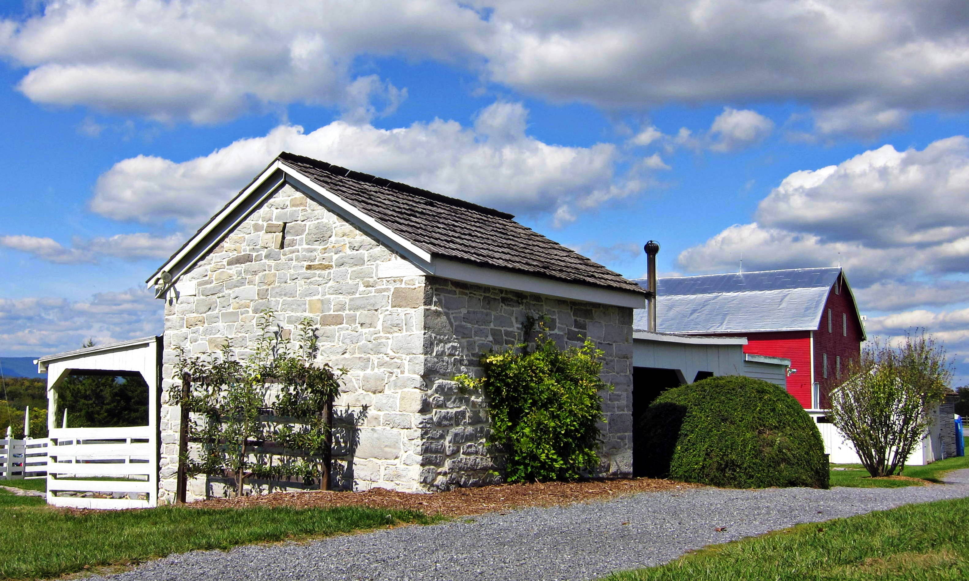
Belle Grove blacksmith shop and barn
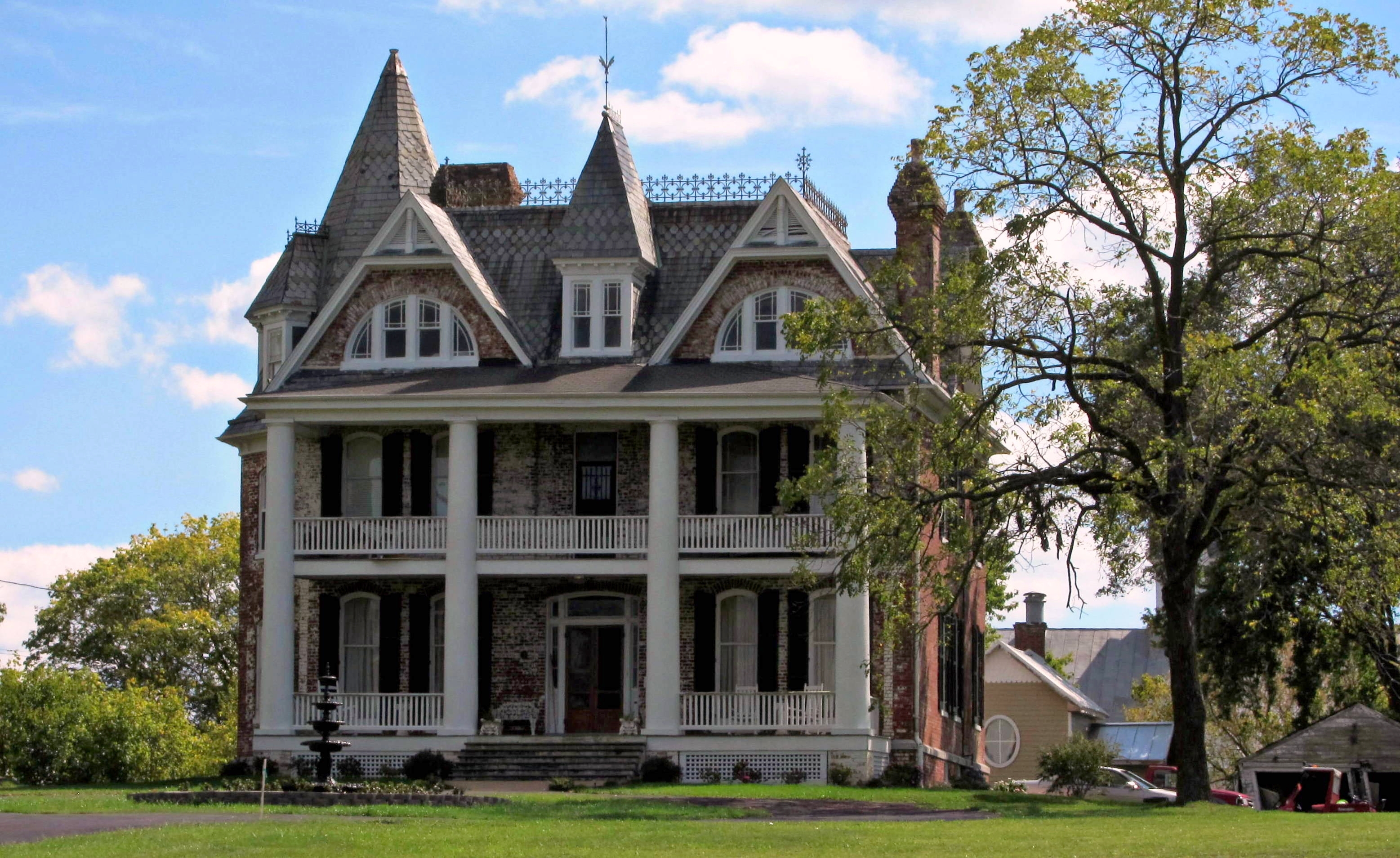
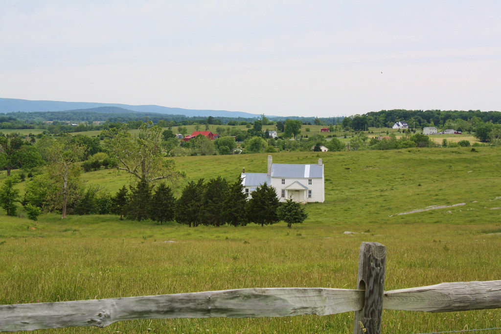
Monte Vista

Dinner with the fam & a beautiful view #sunset #nature #photography

River view of the boat launch across from us

Monte Vista

Old Building Side

Old Building Back

a view in my home town

Barns of the Shenandoah
Culler's Overlook

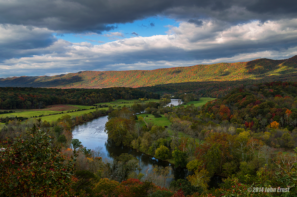
SHENANDOAH RIVER AUTUMN VIEW

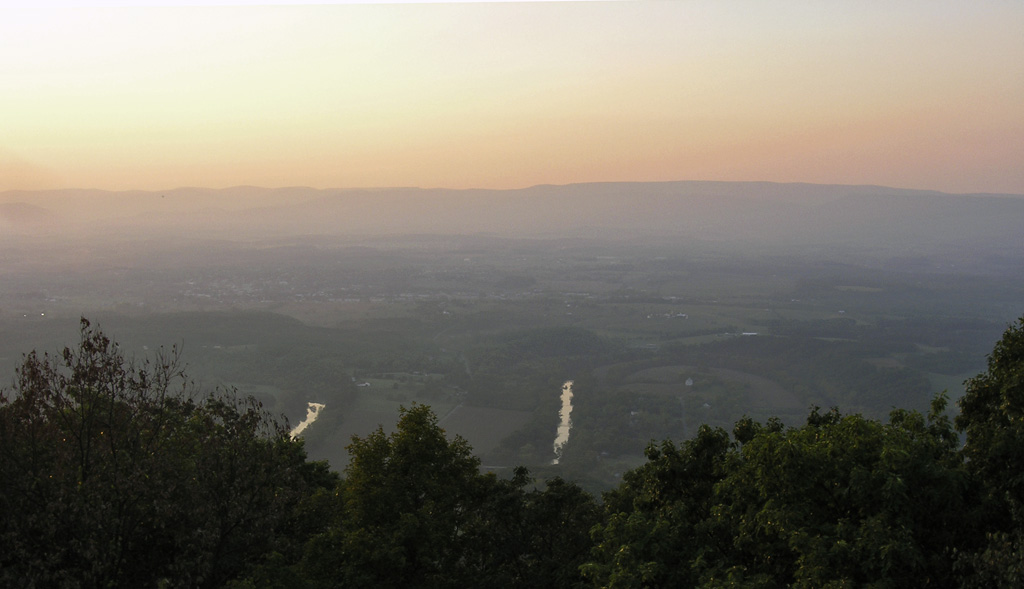
Spring Mtn from Buzzard Rock
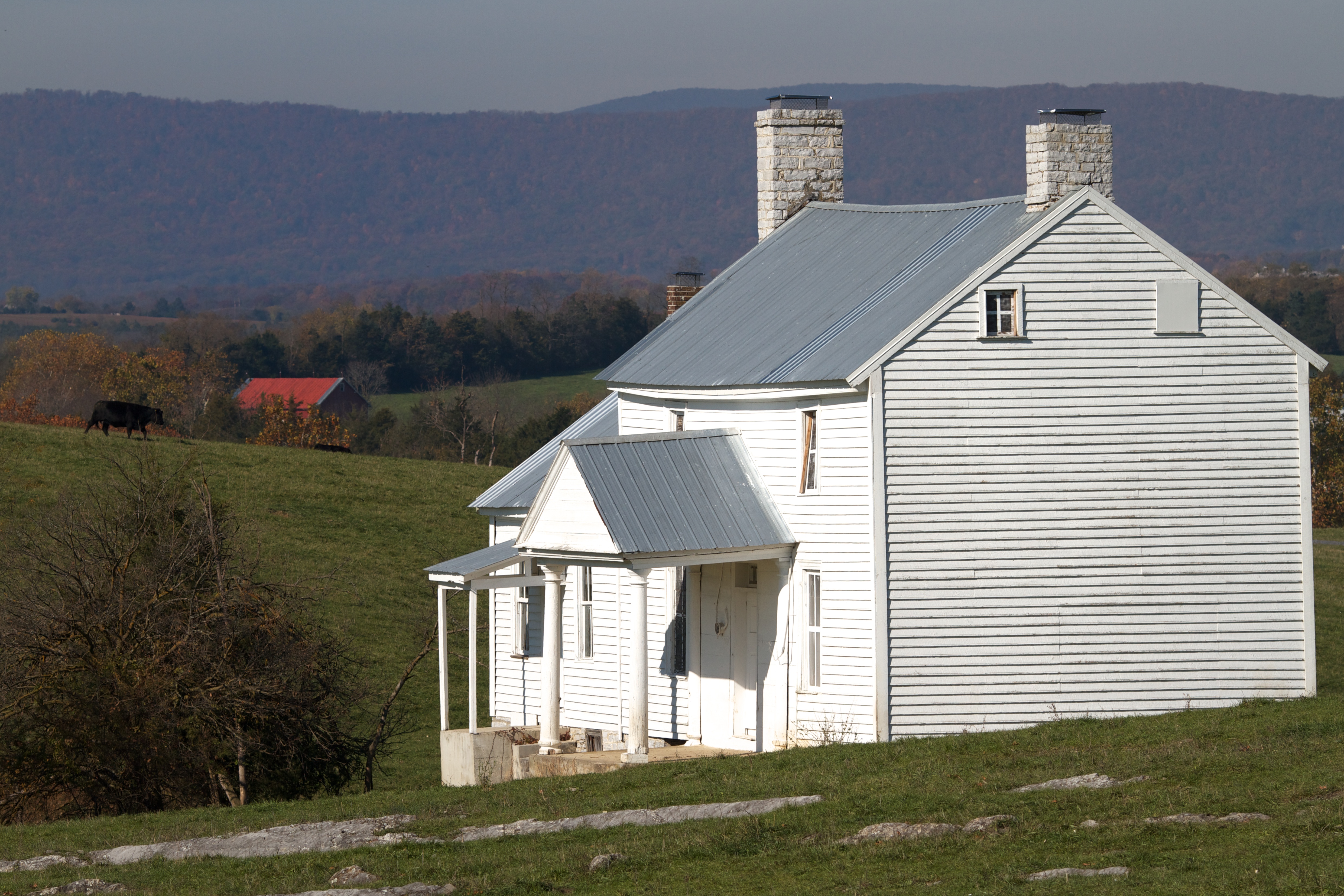
The Heater House

1,000,000
Good morning from Strasburg, Virginia! We drove 8 hours yesterday from Massachusetts, and have about 6 hours ahead of us before a arriving in Gatlinburg, Tennessee. If you thought this was a pretty view just wait... The Great Smoky Mountains will be breat
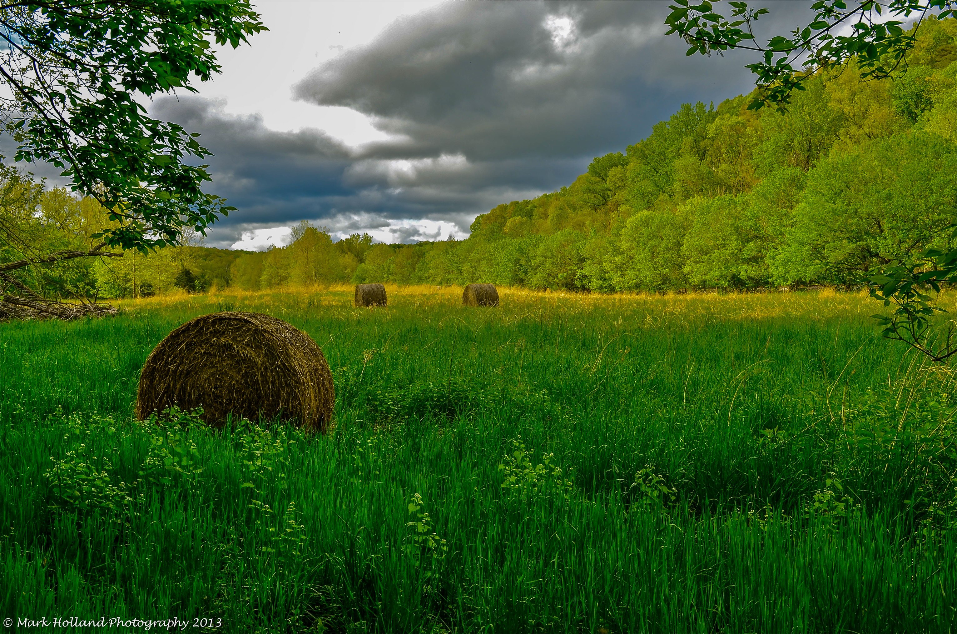
Bales In A Field 1

Shenandoah River State Park in Bentonville, Virginia, USA

Hupp's Hill Civil War Park Trail
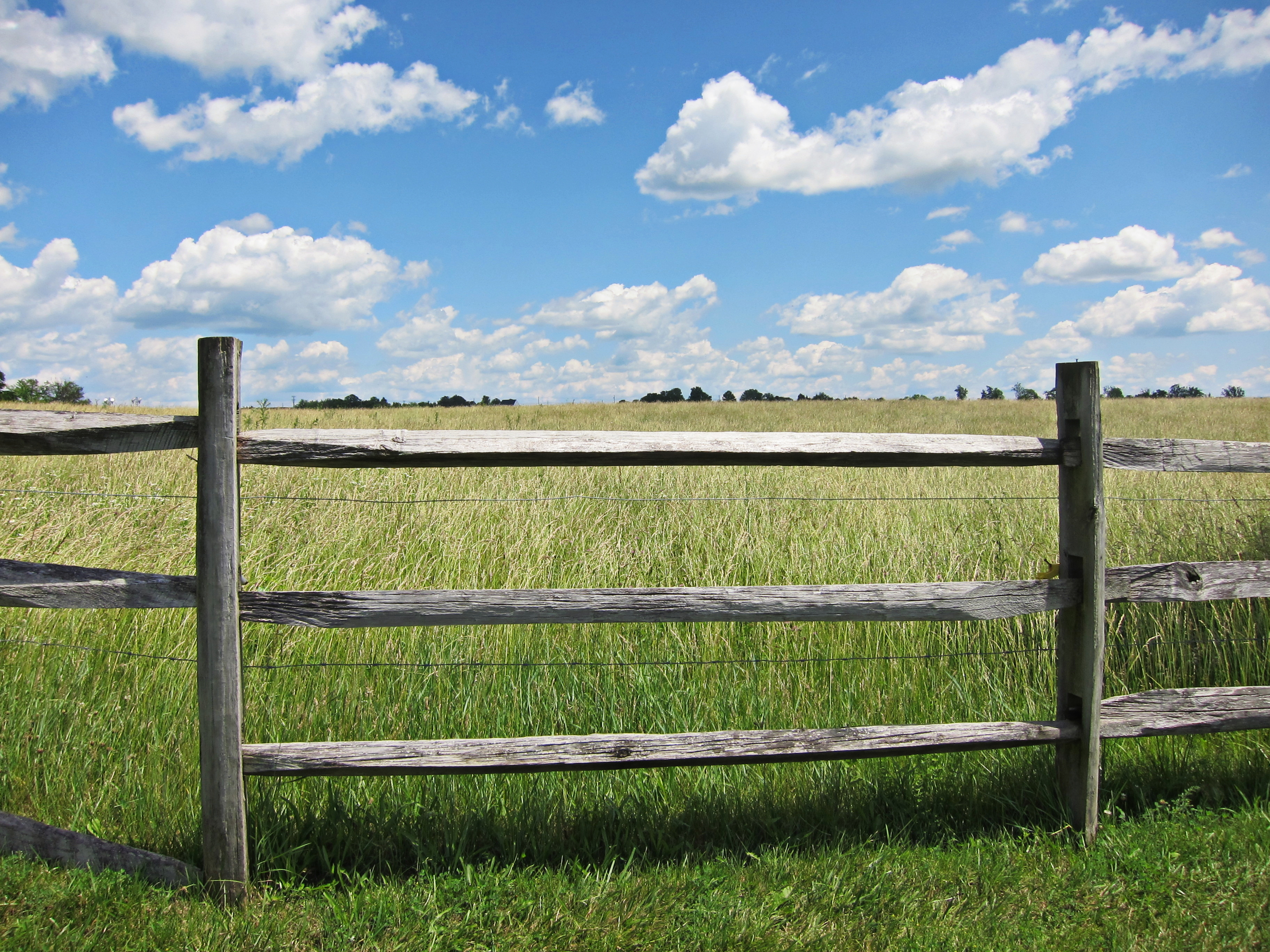
fenced in

Pond at Belle Grove

Passage Creek 1
the sky above Belle Grove
Heater House
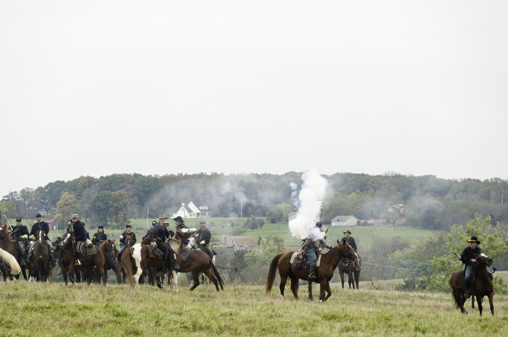
Cedar_Creek_Re-enactment_101913-51

The Ghost Trees

The Storms Edge

Cullers Overlook
Shenandoah River State Park

Plant vines intertwined during a sunshine decline.

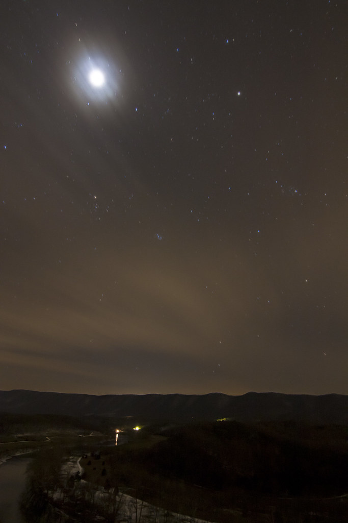
#nighttime #squigglywigglies
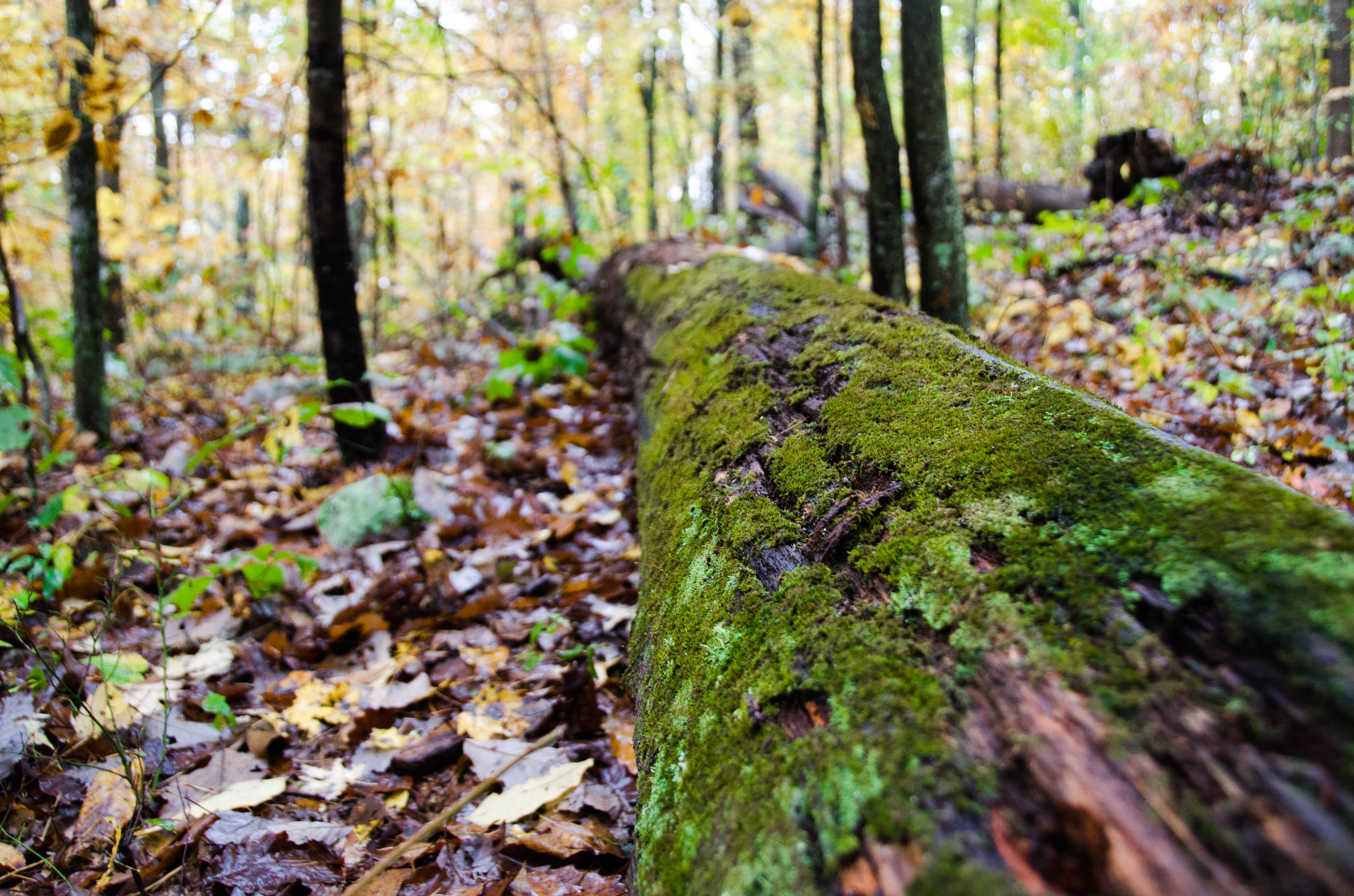
Mossy tree

Haaaaay!
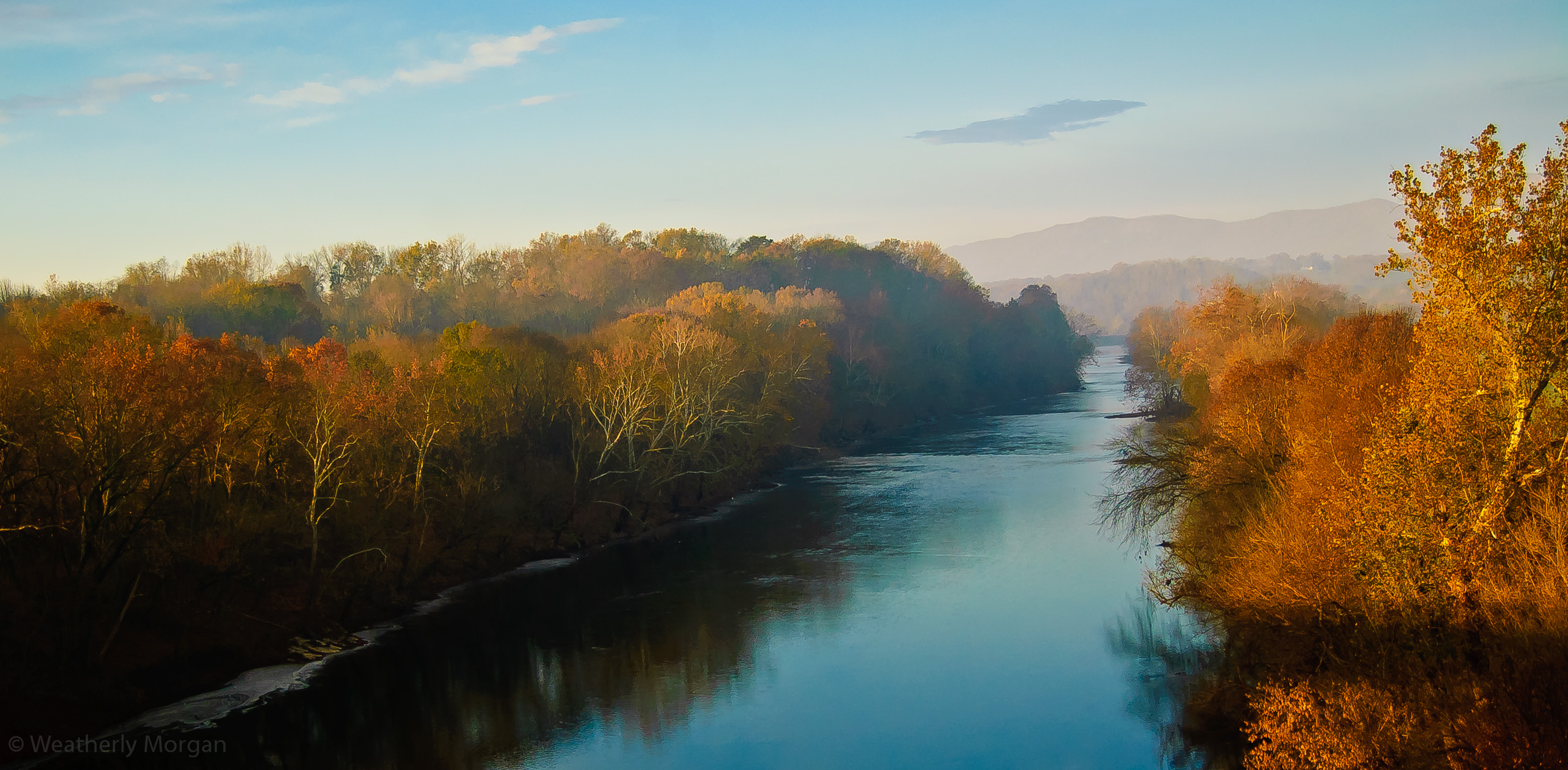
Late Autumn on the Shenandoah
Topographic Map of 6, VA, USA
Find elevation by address:

Places in 6, VA, USA:
Places near 6, VA, USA:
Strasburg
354 N Massanutten St
Fishers Hill
Cedar Road
Cedar Spring Lane
151 Signal Ct
Elizabeth Furnace Recreational Area
798 Glenmont Farm Rd
220 Lower View Rd
978 Spring Mountain Way
107 Glenmont Farm Rd
Meadow Mills Rd, Middletown, VA, USA
Mountain Rd, Front Royal, VA, USA
11590 Fort Valley Rd
3957 Mountain Rd
Cedar Creek Battlefield
145 Lake Ridge Rd
Buzzard Rock Trailhead
5911 Panhandle Rd
Fork
Recent Searches:
- Elevation of Corso Fratelli Cairoli, 35, Macerata MC, Italy
- Elevation of Tallevast Rd, Sarasota, FL, USA
- Elevation of 4th St E, Sonoma, CA, USA
- Elevation of Black Hollow Rd, Pennsdale, PA, USA
- Elevation of Oakland Ave, Williamsport, PA, USA
- Elevation of Pedrógão Grande, Portugal
- Elevation of Klee Dr, Martinsburg, WV, USA
- Elevation of Via Roma, Pieranica CR, Italy
- Elevation of Tavkvetili Mountain, Georgia
- Elevation of Hartfords Bluff Cir, Mt Pleasant, SC, USA