Elevation of 6, Upper Fishing Creek, NC, USA
Location: United States > North Carolina > Edgecombe County >
Longitude: -77.630701
Latitude: 36.0745854
Elevation: 35m / 115feet
Barometric Pressure: 101KPa
Elevation Map:
Satellite Map:
Related Photos:

Alice in Wonderland - If I had a World of my own...

Hello Sunshine [Explored!]

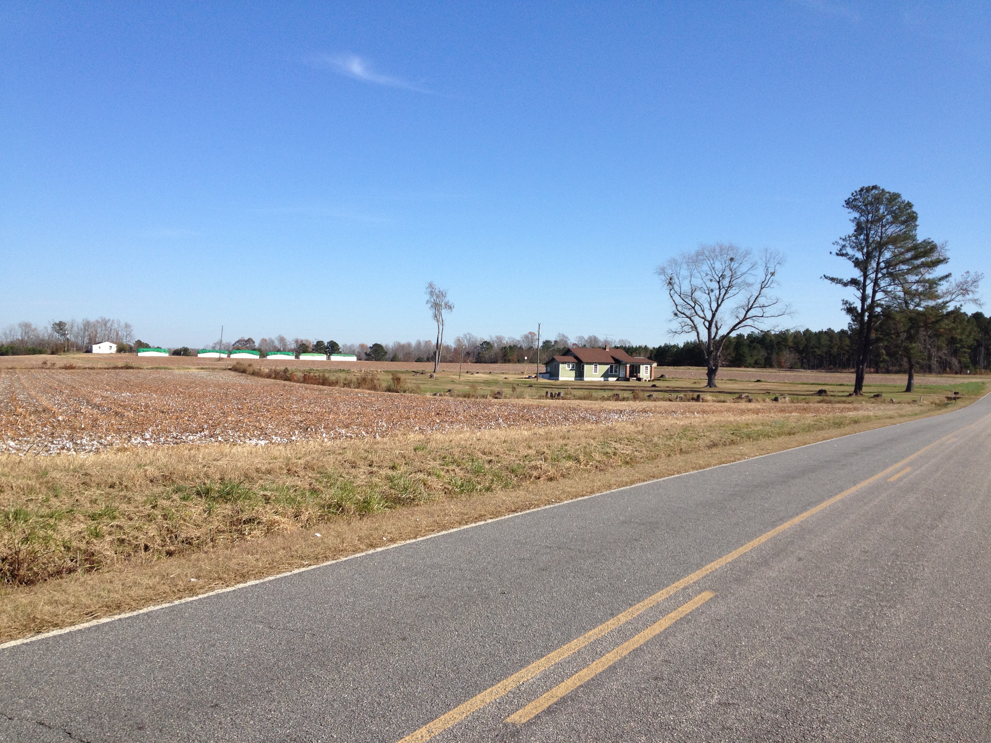
Country Victorian

Tobacco Road

Top of the NC morning to ya...
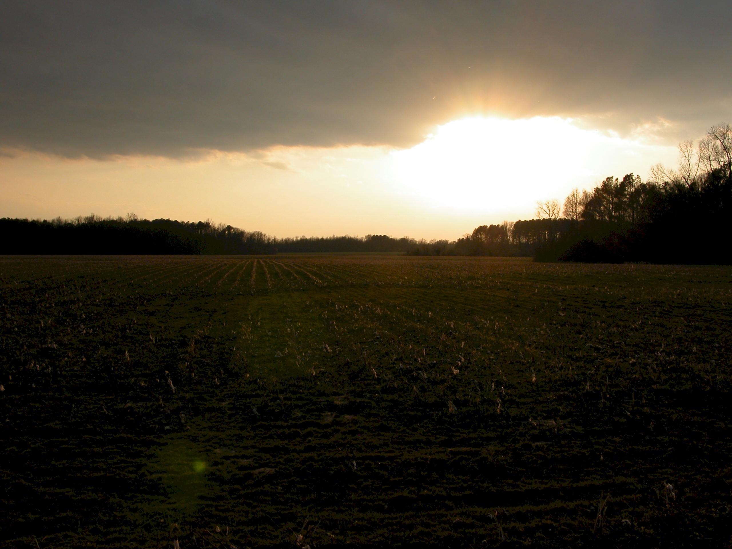
Sunset Over Perkins Sacred Land
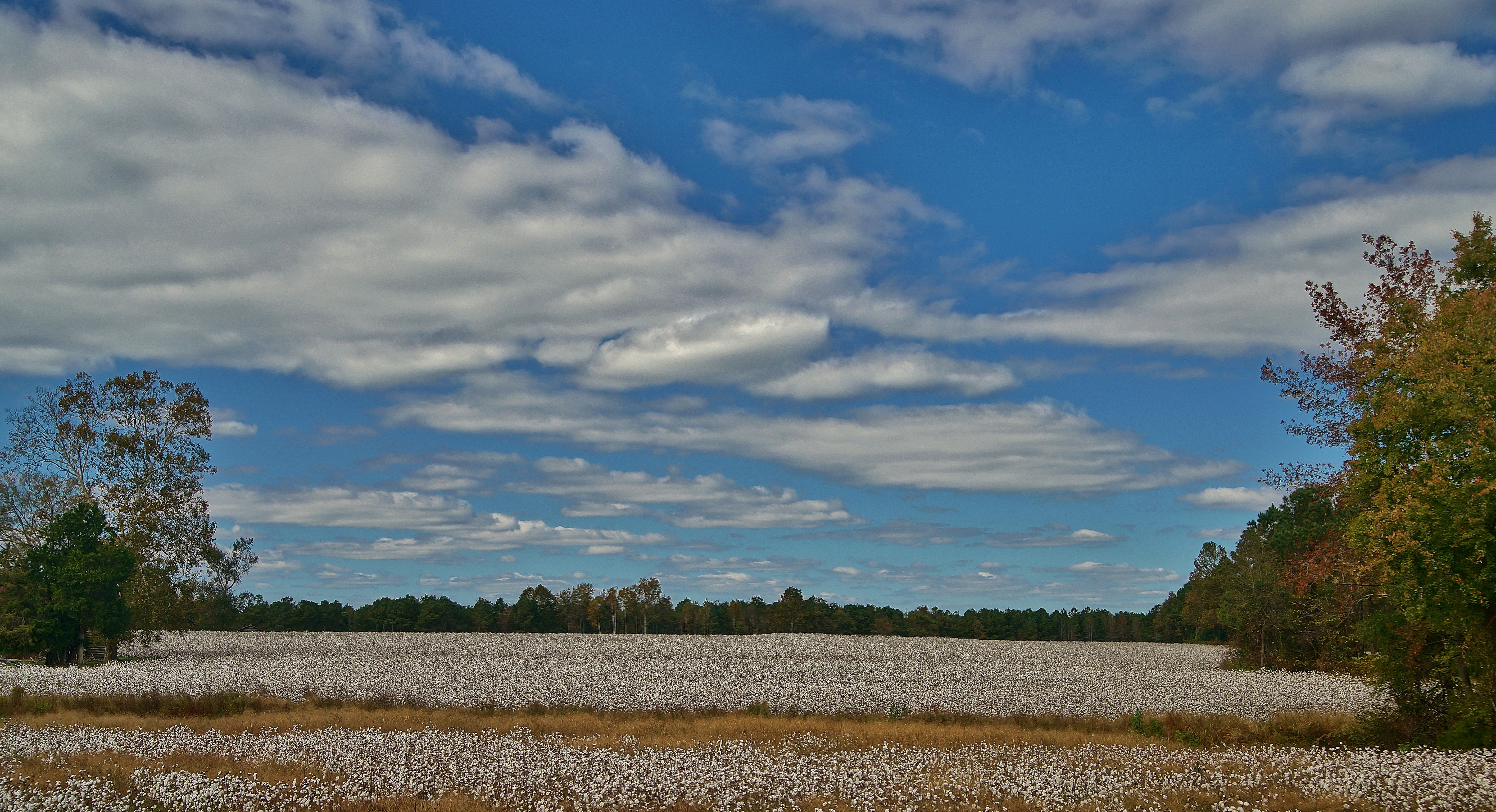
Cotton Field - Eastern NC

desaturated landscape
P1010055.JPG
Fall2012 019

P1010051.JPG
Topographic Map of 6, Upper Fishing Creek, NC, USA
Find elevation by address:

Places in 6, Upper Fishing Creek, NC, USA:
Places near 6, Upper Fishing Creek, NC, USA:
7 Bridges Rd, Whitakers, NC, USA
Draughn Rd, Whitakers, NC, USA
Whitakers
Enfield
Charles Street
Battleboro
Enfield
Whitehurst Ln, Tarboro, NC, USA
NC-97, Tarboro, NC, USA
254 Deer Walk Rd
31 Dogwood Terrace
27 Dogwood Terrace, Tarboro, NC, USA
1114 Kingsboro Rd
Kingsboro
Kingsboro Rd, Rocky Mount, NC, USA
Spongex Llc
61 Burnham
South Whitakers
Enterprise Rent-a-car
1805 Pine St
Recent Searches:
- Elevation of Corso Fratelli Cairoli, 35, Macerata MC, Italy
- Elevation of Tallevast Rd, Sarasota, FL, USA
- Elevation of 4th St E, Sonoma, CA, USA
- Elevation of Black Hollow Rd, Pennsdale, PA, USA
- Elevation of Oakland Ave, Williamsport, PA, USA
- Elevation of Pedrógão Grande, Portugal
- Elevation of Klee Dr, Martinsburg, WV, USA
- Elevation of Via Roma, Pieranica CR, Italy
- Elevation of Tavkvetili Mountain, Georgia
- Elevation of Hartfords Bluff Cir, Mt Pleasant, SC, USA