Elevation of 6 Parker Ct, Millstone, NJ, USA

Location: United States > New Jersey > Monmouth County > Millstone > Clarksburg >

Longitude: -74.424147

Latitude: 40.179361

Elevation: 60m / 197feet

Barometric Pressure: 101KPa

Elevation Map:

elevation map of 6 Parker Ct, Millstone, NJ, USA
Satellite Map:

Satellite map of 6 Parker Ct, Millstone, NJ, USA
Related Photos:

delete5 delete2 delete6 delete7 save3 delete8 delete3 save7 save8 delete delete4 save2 save9 save4 save5 save10 save6 save1 savedbythedeletemeuncensoredgroup tonemapped dmulightbox
Custom Built
park sky usa nature clouds newjersey amusementpark rides rollercoaster greatadventure hdr d300 abigfave 6flagsgreatadventure
Rolling Thunder
green bird nature bigbird newjersey eyes nikon bokeh wildlife may 2006 depthoffield sixflags d200 85mmf14d wildsafari animalkingdomelite
Stick Your Neck Out
winter bird birds newjersey nj aves goose waterfowl anser anatidae anseriformes pinkfootedgoose monroetownship anserbrachyrhynchus middlesexcounty anserinae anserini applegarth badphotosofgoodbirds
Pink-footed Goose
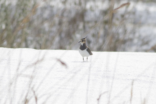
Northern Lapwing
monmouthcounty newjersey aerial clouds field meadow nature outdoor overgrown summer allentown unitedstates us
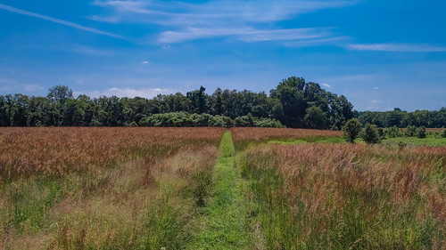
Overgrown Field
wooden newjersey nj rollercoaster sixflags greatadventure coaster eltoro sixflagsgreatadventure
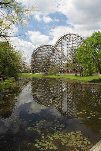
El Toro Reflection
Self Portrait
uploaded:by=flicksquare foursquare:venue=44f9affef964a52069381fe3 geo:lat=40138399 geo:lon=744403090666667
View from the ski-lift
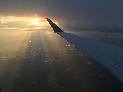
Views from a plane
Northern Lapwing
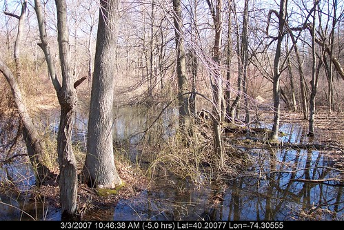
geotagged geo:lat=402007745703556 geo:lon=74305547094622
Creek's Bend
flower yellow project vibrant foliage 365 greencloseup
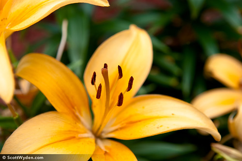
157/365
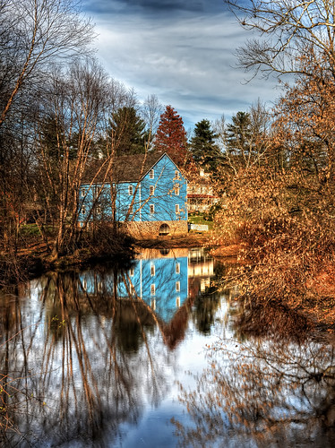
county bridge blue trees winter color reflection building creek reflections landscape photography newjersey pond nj historic challenge oceancounty walnford 52weeks
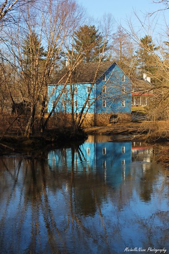
A Time Gone By 9/52
newjersey hiking nj monmouth monmouthcounty battlefield americanrevolution americanrevolutionarywar mollypitcher battleofmonmouth monmouthbattlefield americanrevolutionarywarbattlefield
The Real Molly Pitcher Spring
Views from a plane
geotagged newjersey cranbury geo:lat=402969934051601 geo:lon=744983397254256
A Walk In The Woods
panorama building history field sepia clouds landscape newjersey farm rustic monmouth revolutionarywar battlefield 1778
Towards Perrine Hill
summer pinelands southjersey pinebarrens russianorthodox stvladimir oceancountynj njpinebarrens njpinelands newjerseypinebarrens southernnj cassvillenj newjerseypinelands pinebarrensnj oniontop saintvladimir smalltownchurches pinebarrensinnj pinebarrensofnj pinelandsinnj pinelandsofnj jacksontwpnj
Upper view
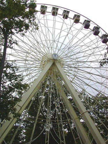
newjersey nj ferriswheel sixflags bigwheel greatadventure themepark garyburke
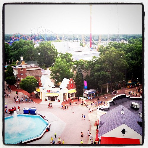
Big Wheel
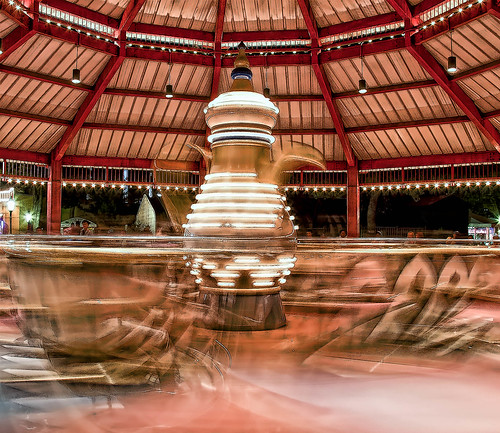
hdr
Six Flags T Cups
fall season autumn trees country rural dirt tracks road farm driveway millstone upper freehold sweetmans lane row colorful leaves oaks perspective ostrellina damniwishidtakenthat land scape landscape cityscape tphof week16 thepinnaclehof tphofweek16 jersey shore jerseyshore resort pinnacle contest challenge group winner joiseyshowaa joiseyshowa photocontesttnc10 vanishing point
Right turn off of Sweetman's Lane
—obramaestra—
Walnford Mill
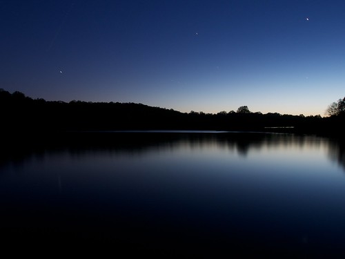
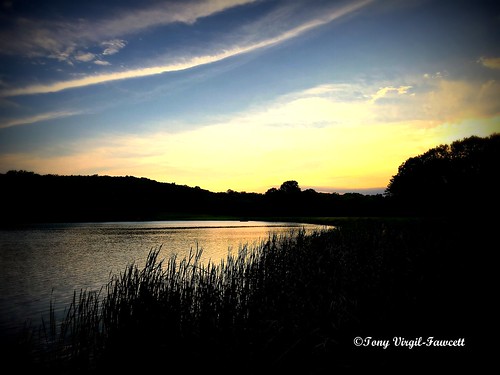
trees sky usa water stars newjersey shadows dusk smooth millstone northamerica monmouthcounty olympusm1250mmf3563 risingsunlake
Rising Sun Lake
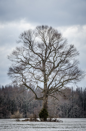
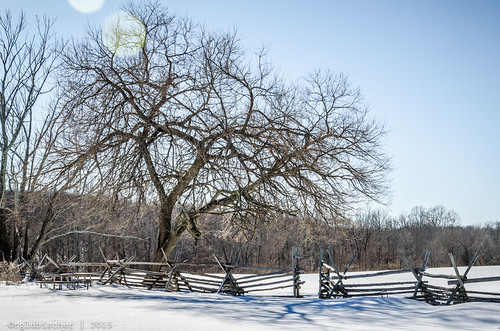
winter snow tree landscape newjersey unitedstates mothernature lonelytree burlingtoncounty monmouthroad nikon18105mmf3556vr nikond7000 plumstedtownship
The Lonely Tree - III
Paisaje De Un Pescador/Landscape Of A Fisherman
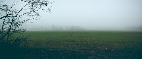
holidayseason newjersey unitedstates winter northamerica creamridge landscape monmouthcounty fog farm upperfreeholdtownship
Escape into Nothing
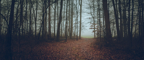
holidayseason newjersey unitedstates winter northamerica creamridge landscape woods monmouthcounty fog upperfreeholdtownship
Path to the Edge of the World
winter snow tree landscape newjersey unitedstates mothernature lonelytree burlingtoncounty monmouthroad nikon18105mmf3556vr nikond7000 plumstedtownship
The Lonely Tree - IV
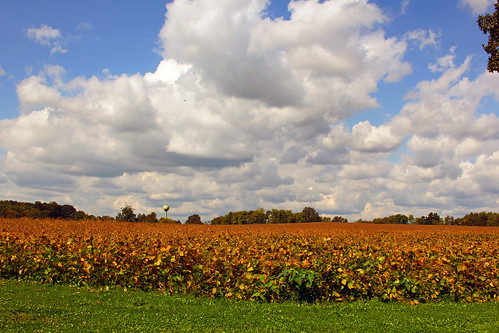
county new autumn fall corn farm nj jersey monmouth allentown
Harvest over
winter snow farmhouse newjersey unitedstates lensflare revolutionarywar monmouthcounty godblessamerica americanrevolution freehold warofindependence craighouse historicalsight monmouthbattlefieldstatepark monmouthbattlefield nikon18105mmf3556vr nikond7000 johnandanncraig
Historic Craig House - XVII
contestnature
The Valley of Unrest
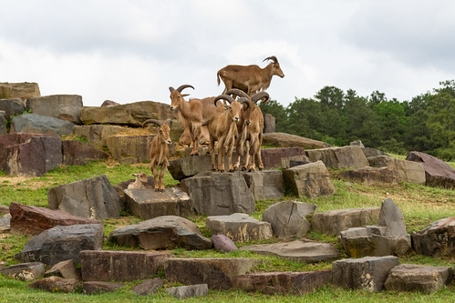
creamridge newjersey unitedstates us 2012 sixflags wildsafari sixflagswildsafari animals park
2012: Six Flags Wild Safari, New Jersey, USA
newjersey unitedstates monmouthcounty americanrevolution georgewashington manalapan battleofmonmouth americanwarofindependence monmouthbattlefield battleofmonmouthcourthouse
Landscapes from the Battle of Monmouth - VII
square squareformat iphoneography instagramapp uploaded:by=instagram foursquare:venue=4e6fee91d4c0bef90ae4ce9f
#onmyrun
Sunset Bales 253/365
newjersey unitedstates abandonedhouse warofindependence americanrevolutionarywar mollypitcher battleofmonmouth monmouthbattlefieldstatepark battleofmonmouthcourthouse abandonednewjersey sutfinherberthouse manalapantownship
Sutfin-Herbert House - VI
Hightstown, NJ
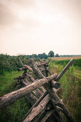
newjersey clouds farm fence field grasses green outdoor
Split Rail Fence
cemetery graveyard newjersey holga lomography unitedstates oakhill canon20d lofi revolutionarywar americanrevolution georgewashington warofindependence nationalregisterofhistoricplaces battleofmonmouth nationalregisterofhistoricalplaces americanwarofindependence generalgeorgewashington monmouthbattlefield jamesii battleofmonmouthcourthouse oldtennentpresbyterianchurch tennentroad holgahlclens scottishdissenters manalapantownship
Modified Holga HL-C Lens Test - I
winter snow farmhouse newjersey unitedstates lensflare revolutionarywar monmouthcounty godblessamerica americanrevolution freehold warofindependence craighouse historicalsight monmouthbattlefieldstatepark monmouthbattlefield nikon18105mmf3556vr nikond7000 johnandanncraig
Historic Craig House - VI