Elevation of 6 Loop Rd, Black Duck Cove, NL A0K 1M0, Canada
Location: Canada > Newfoundland And Labrador > Division No. 9 >
Longitude: -56.791173
Latitude: 51.2373952
Elevation: 13m / 43feet
Barometric Pressure: 101KPa
Elevation Map:
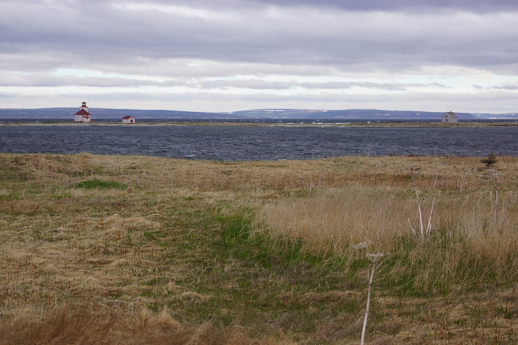
Satellite Map:
Related Photos:
Camping,

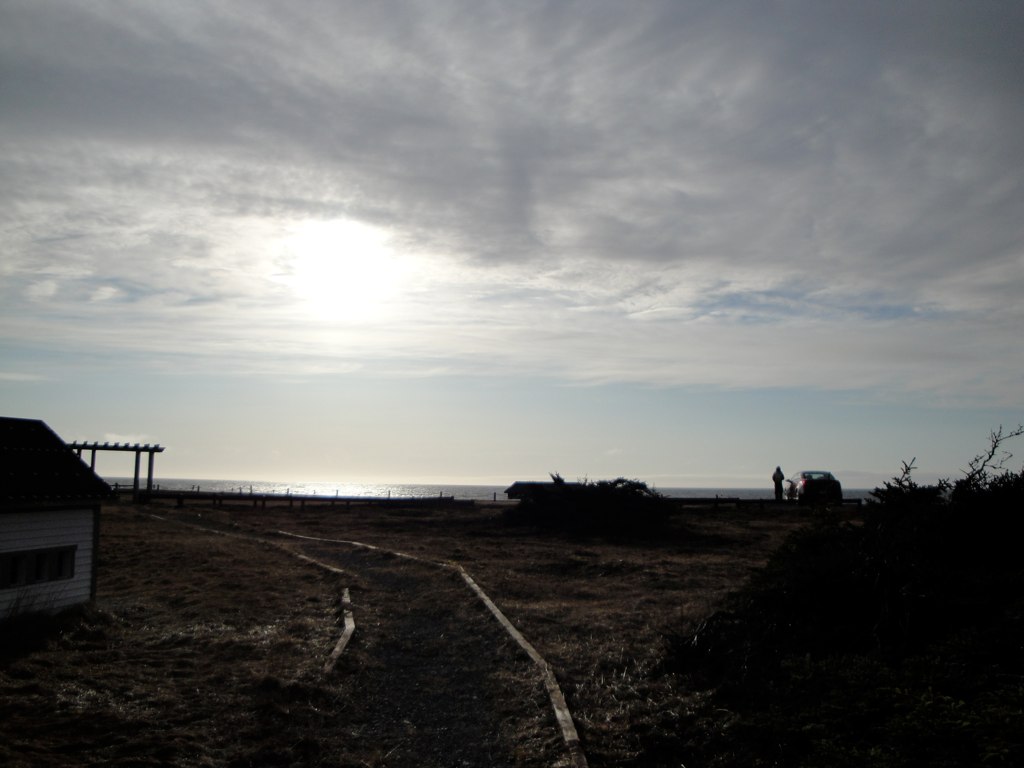
Deserted Sentinel
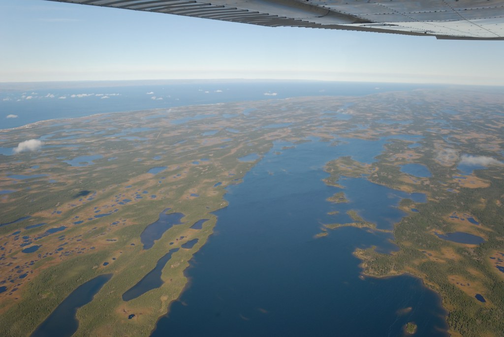
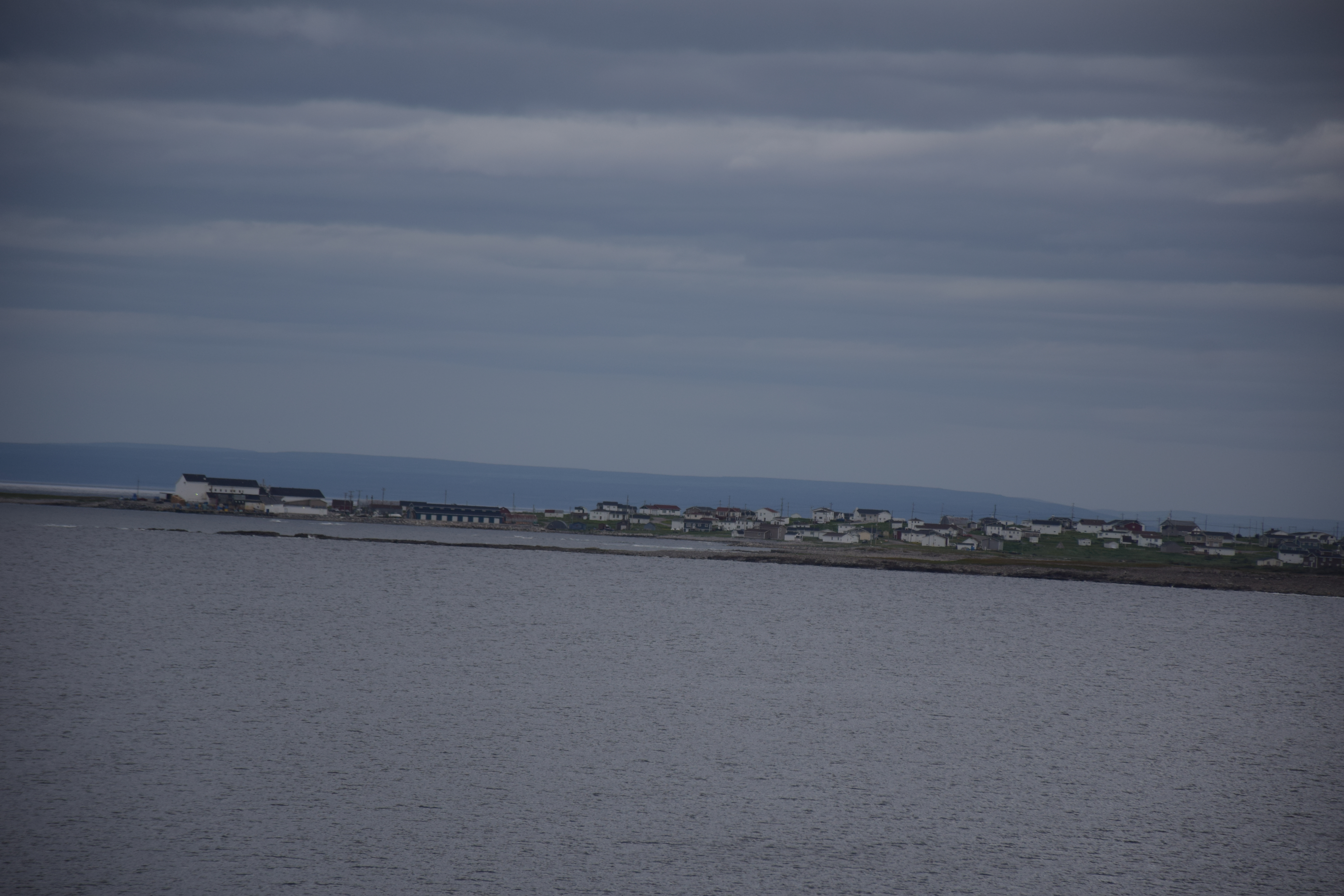
Terre Neuve

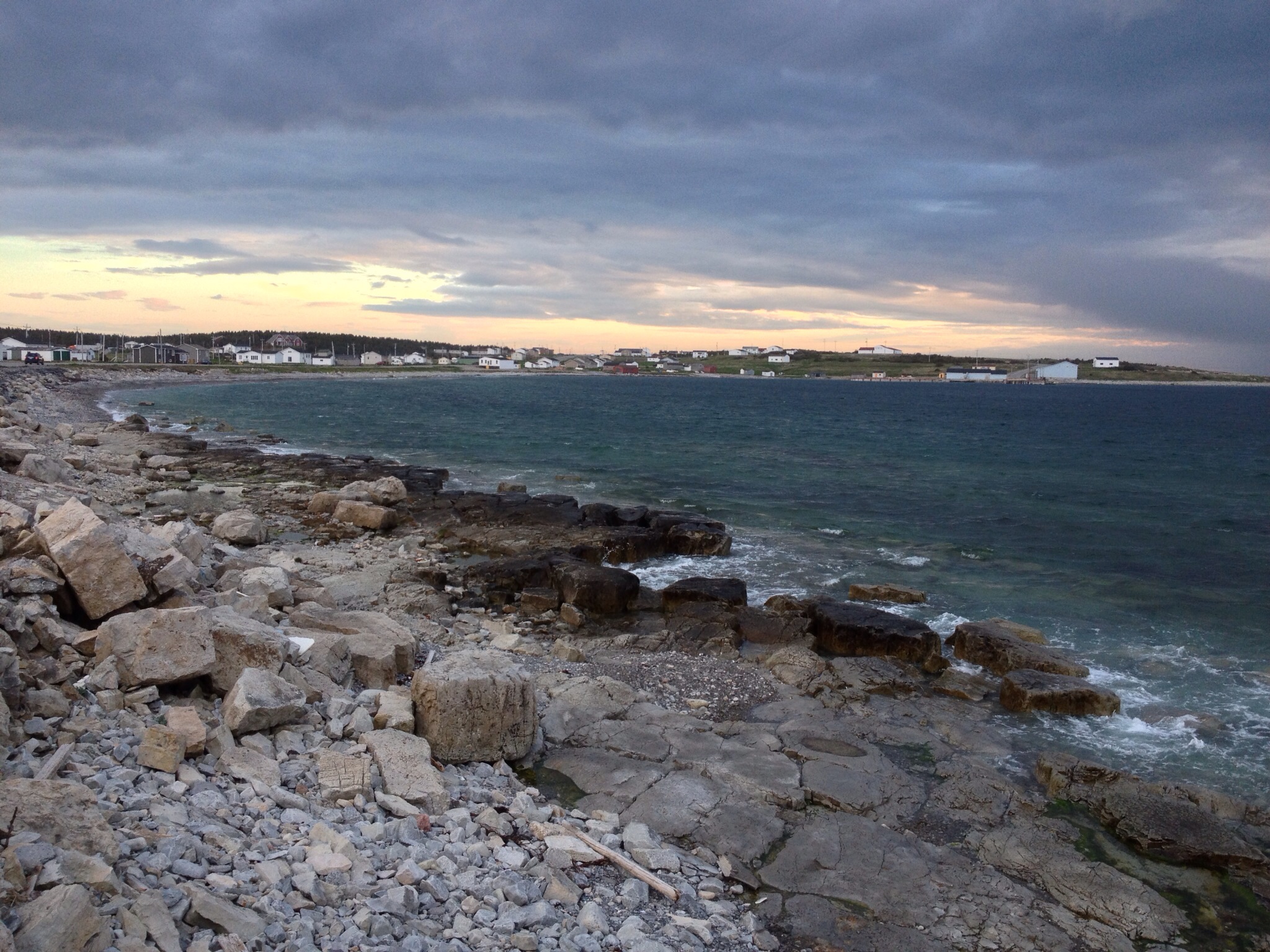
Nameless Cove seaside

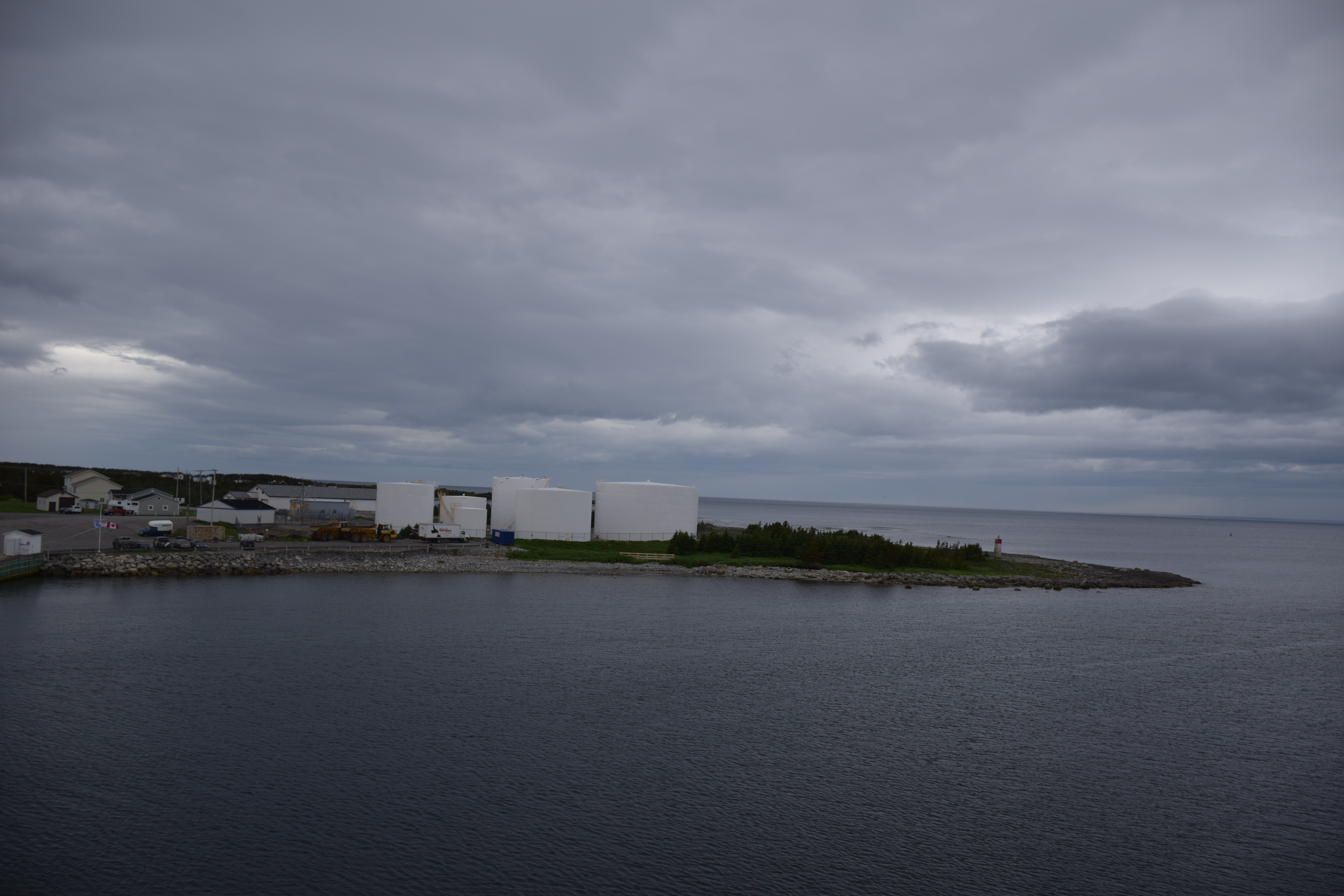
Fishing Vessel
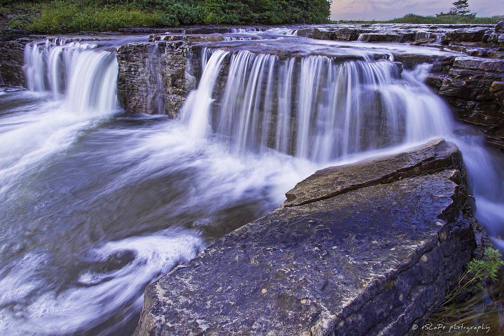
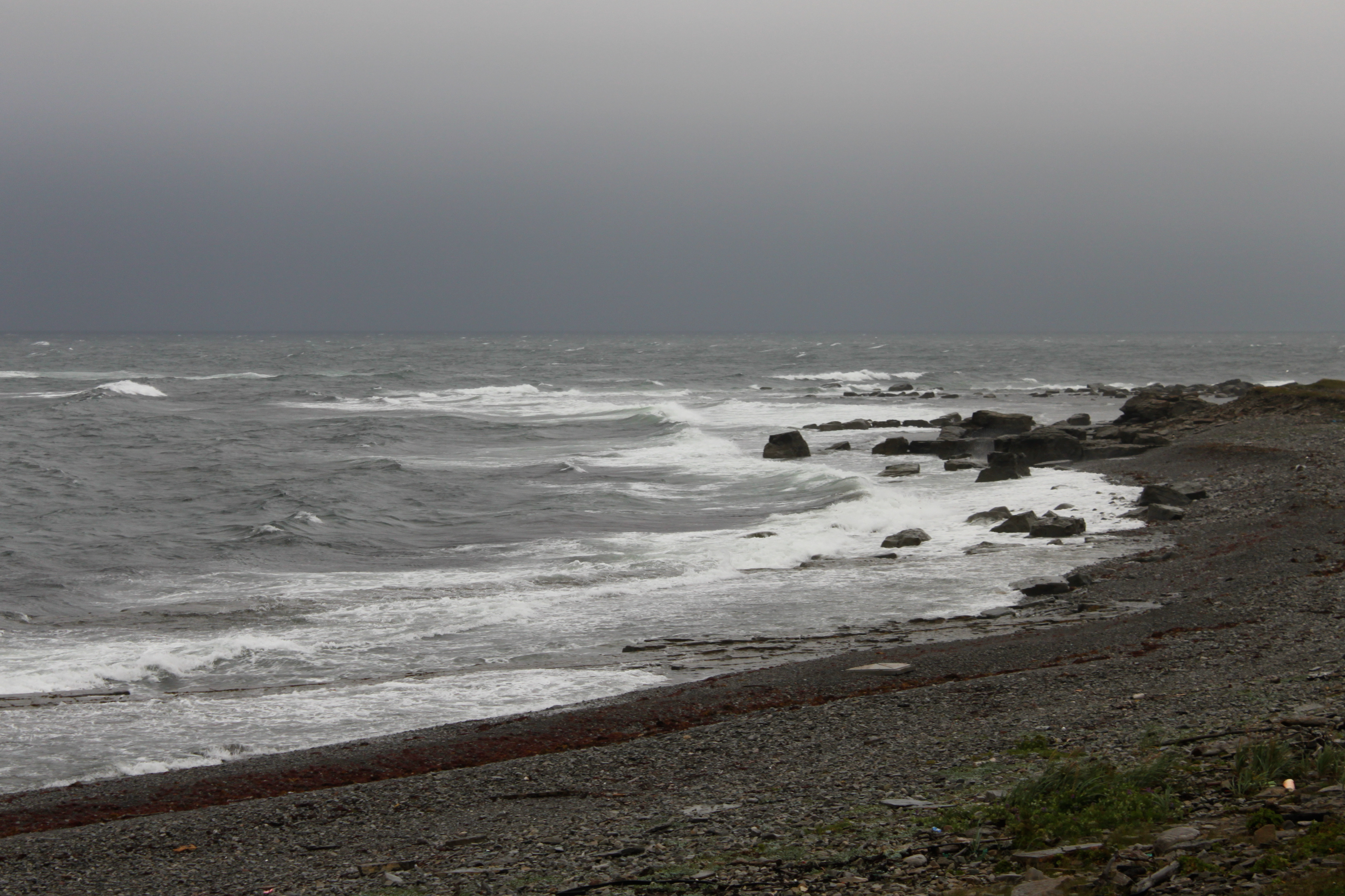
Bear Cove Falls

East coast trip (iPhone)
St Barbe Newfoundland
St Barbe Newfoundland
East coast trip (iPhone)
St Barbe Newfoundland
20100810-003

St Barbe Newfoundland

St Barbe Newfoundland

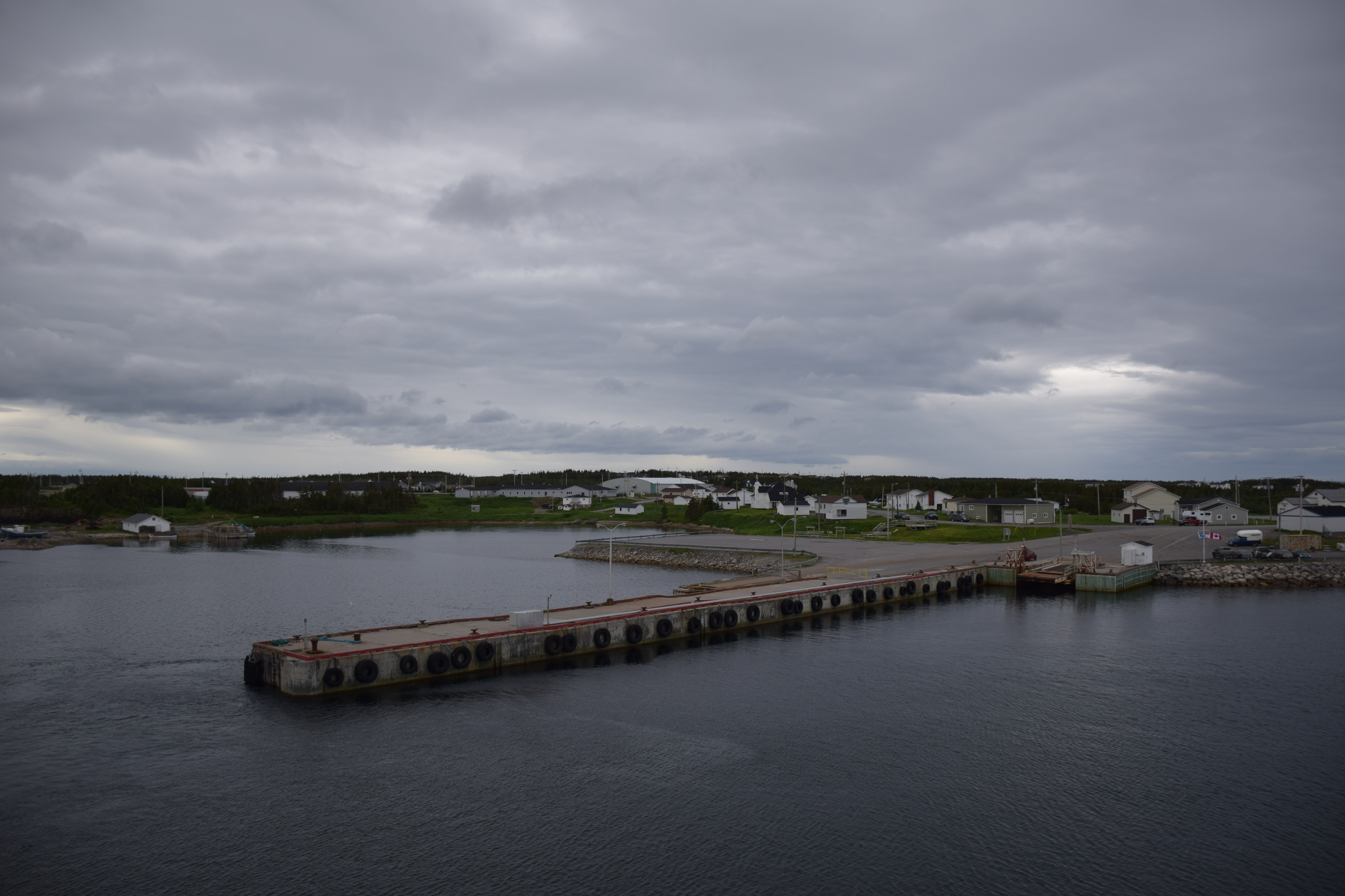
St. Barbe

Anchor Point

Anchor Point
St. Barbe
Anchor Point
NLL 92700 Thrombolites at Flower's Cove
NLL 93300 Nameless Cove
NLL 93200 Nameless Cove
Topographic Map of 6 Loop Rd, Black Duck Cove, NL A0K 1M0, Canada
Find elevation by address:

Places near 6 Loop Rd, Black Duck Cove, NL A0K 1M0, Canada:
Blanc-sablon
14 Avenue Jacques Cartier, Blanc-Sablon, QC G0G 1C0, Canada
Blanc-sablon
28 Fisher St, Port au Choix, NL A0K 4C0, Canada
Recent Searches:
- Elevation of Corso Fratelli Cairoli, 35, Macerata MC, Italy
- Elevation of Tallevast Rd, Sarasota, FL, USA
- Elevation of 4th St E, Sonoma, CA, USA
- Elevation of Black Hollow Rd, Pennsdale, PA, USA
- Elevation of Oakland Ave, Williamsport, PA, USA
- Elevation of Pedrógão Grande, Portugal
- Elevation of Klee Dr, Martinsburg, WV, USA
- Elevation of Via Roma, Pieranica CR, Italy
- Elevation of Tavkvetili Mountain, Georgia
- Elevation of Hartfords Bluff Cir, Mt Pleasant, SC, USA