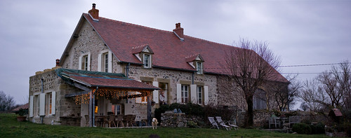
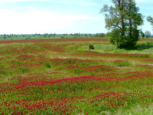
Elevation of 6 Chemin du Vieux Village, Bézenet, France
Location: Italy > Auvergne Rhône-alpes > Allier > Bézenet >
Longitude: 2.8527652
Latitude: 46.3251495
Elevation: 317m / 1040feet
Barometric Pressure: 98KPa
Related Photos:
Topographic Map of 6 Chemin du Vieux Village, Bézenet, France
Find elevation by address:

Places near 6 Chemin du Vieux Village, Bézenet, France:
Bézenet
8 Le Bourg, Beaune-d'Allier, France
Beaune-d'allier
D68, Blomard, France
Blomard
3 D46, Saint-Marcel-en-Murat, France
Durmignat
Chez Voyon, Durmignat, France
Saint-marcel-en-murat
D, Échassières, France
Échassières
Saint-Éloy-les-mines
1 Route de la Boule, Saint-Éloy-les-Mines, France
6 Rue de Montjoie, Youx, France
2 Chemin des Percières, Lalizolle, France
Lalizolle
Le Bourg, Neuf-Église, France
Neuf-Église
1 D, Pouzol, France
Pouzol
Recent Searches:
- Elevation of Corso Fratelli Cairoli, 35, Macerata MC, Italy
- Elevation of Tallevast Rd, Sarasota, FL, USA
- Elevation of 4th St E, Sonoma, CA, USA
- Elevation of Black Hollow Rd, Pennsdale, PA, USA
- Elevation of Oakland Ave, Williamsport, PA, USA
- Elevation of Pedrógão Grande, Portugal
- Elevation of Klee Dr, Martinsburg, WV, USA
- Elevation of Via Roma, Pieranica CR, Italy
- Elevation of Tavkvetili Mountain, Georgia
- Elevation of Hartfords Bluff Cir, Mt Pleasant, SC, USA
