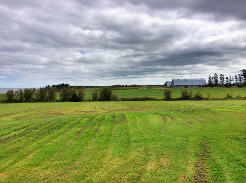
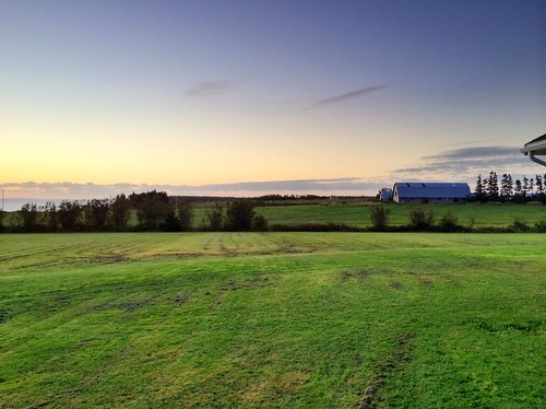
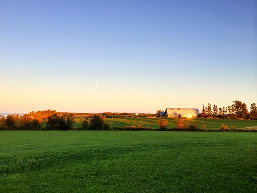
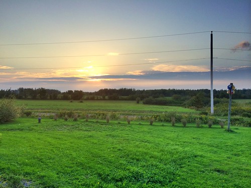
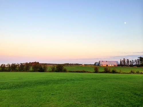
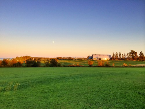
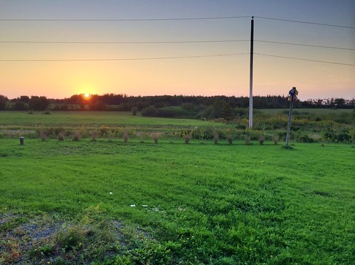
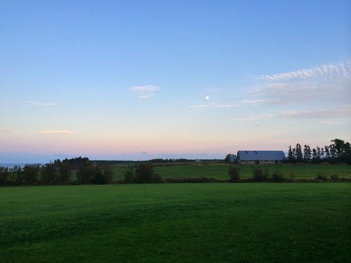
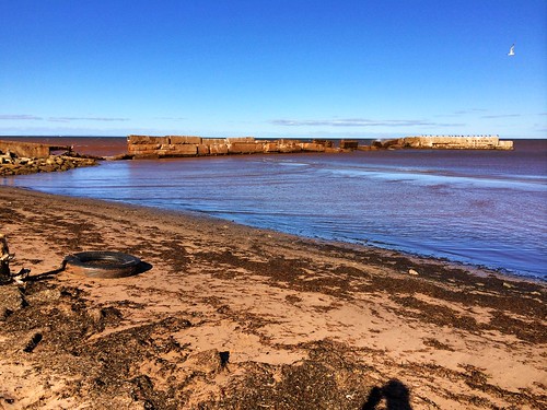
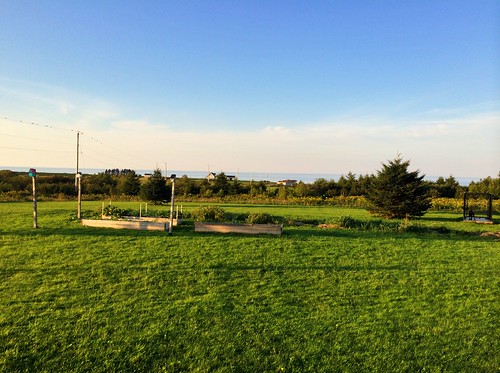
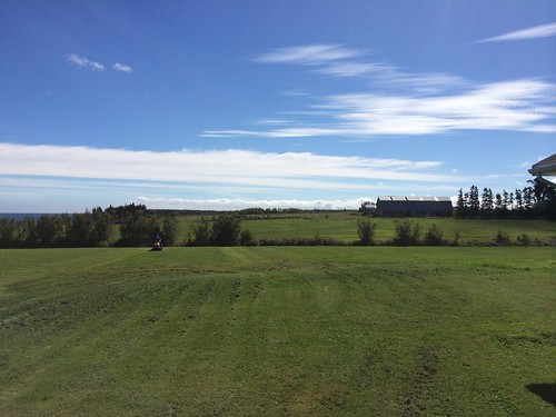
Elevation of 6 Allen Rd, River John, NS B0K 1N0, Canada
Location: Canada > Nova Scotia > Pictou County > Pictou, Subd. A >
Longitude: -63.02987
Latitude: 45.733638
Elevation: 27m / 89feet
Barometric Pressure: 101KPa
Related Photos:
Topographic Map of 6 Allen Rd, River John, NS B0K 1N0, Canada
Find elevation by address:

Places near 6 Allen Rd, River John, NS B0K 1N0, Canada:
174 Roger Rd
River John
1419 River John Rd
62 Macdonalds Cove Rd
805 Cape John Rd
Black River Road
68 College Grant Rd
Diamond
Pictou, Subd. A
Nova Scotia 326
Macbeth Road
Toney River
2507 Meadowville Station Rd
1073 Upper River John Rd
Fitzpatrick Mountain Road
Balmoral Mills
Matheson Brook Rd, Tatamagouche, NS B0K 1V0, Canada
Scotsburn
1999 Millsville Rd
Waldegrave
Recent Searches:
- Elevation of Corso Fratelli Cairoli, 35, Macerata MC, Italy
- Elevation of Tallevast Rd, Sarasota, FL, USA
- Elevation of 4th St E, Sonoma, CA, USA
- Elevation of Black Hollow Rd, Pennsdale, PA, USA
- Elevation of Oakland Ave, Williamsport, PA, USA
- Elevation of Pedrógão Grande, Portugal
- Elevation of Klee Dr, Martinsburg, WV, USA
- Elevation of Via Roma, Pieranica CR, Italy
- Elevation of Tavkvetili Mountain, Georgia
- Elevation of Hartfords Bluff Cir, Mt Pleasant, SC, USA

