Elevation of 68 S, Farmington, UT, USA
Location: United States > Utah > Davis County > Farmington >
Longitude: -111.88908
Latitude: 40.9539737
Elevation: 1287m / 4222feet
Barometric Pressure: 87KPa
Elevation Map:
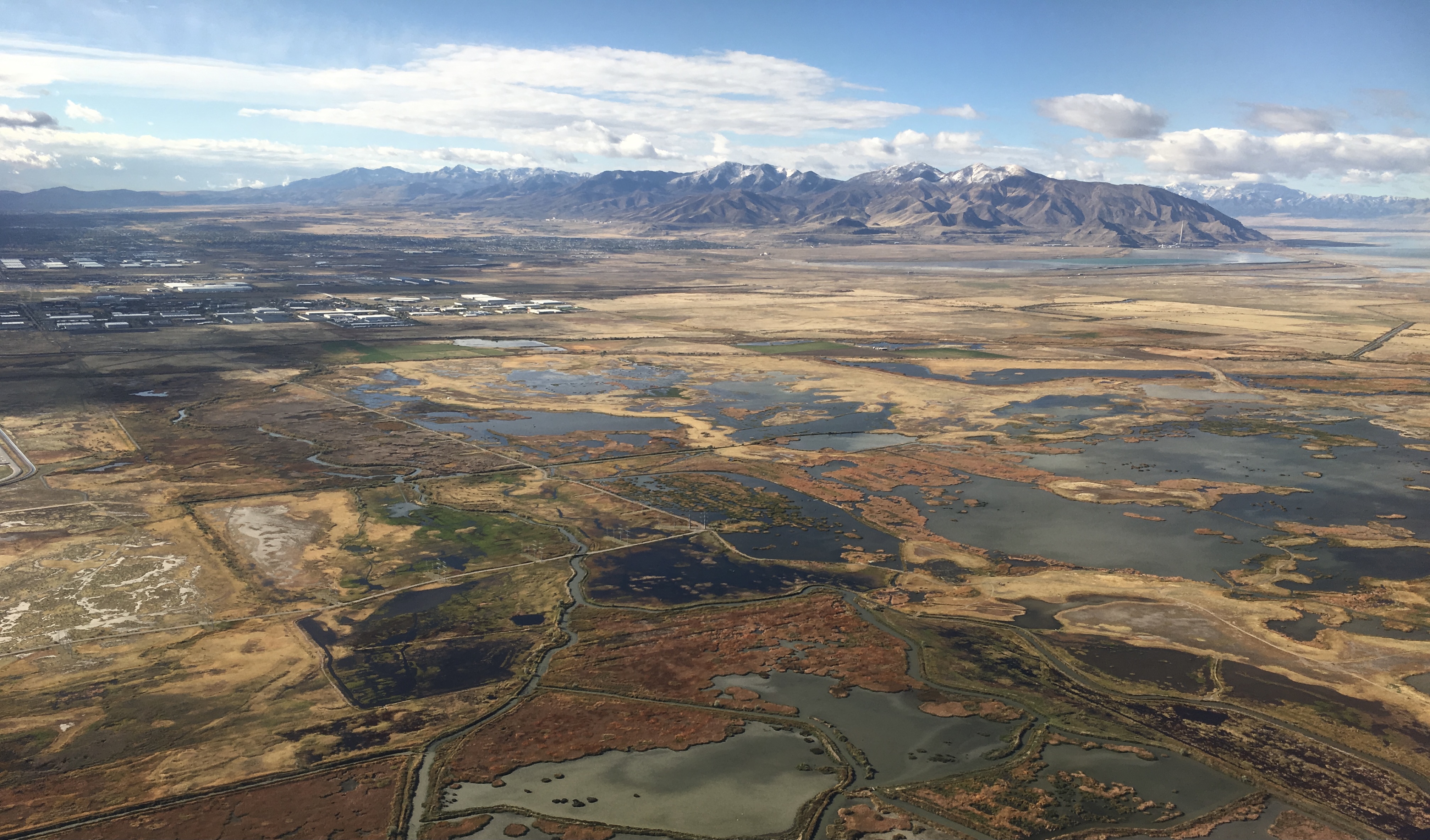
Satellite Map:
Related Photos:

Cliff Rose

Mini-Down

To Never Let Go Of The Stone...
Rushing Headlong into Blue Hour

South end of Antelope Island

Dike View

A Curve For The Wayward

Elephant Rock

The Scarlet Pimpernel - Viewmont High School - 0515

Wasatch Range, Northern Utah

Blue Hour and Big Oil

Big Oil Sunset

R-DSC_2587.jpg
Vertorama #2

Valley Haze

Double Verto, OR Stacked Panorama...

Great Salt Lake Morning View

Mud Flats at Farmington Bay Waterfowl Management Area

Fire in the sky...

Dont forget to turn around...

Skyline Vista

Sharp-Sided
Fire and Ice

Layton, UT
Screen Fracture

Salt Lake City

The Great Salt Lake Shorelands Preserve, UT

Great Spring Runoff

Layton,UT

The Smugglers: R, B, B&W

Wetlands Sunset

The Outer Limits

Winter Sunset

Hay !

near the Great Salt Lake, 2016
near the Great Salt Lake, 2016

The Great Salt Lake
Topographic Map of 68 S, Farmington, UT, USA
Find elevation by address:

Places near 68 S, Farmington, UT, USA:
86 E S, Farmington, UT, USA
1540 S 200 E
174 E 2100 N
544 N Main St
213 N 170 W
Centerville
165 800 E
Centerville Junior High School
184 Country Springs Dr
Deuel Creek South Trail Head
1600 N 1100 W
922 Ridgeline Cir
935 N Main St
951 N 900 W
105 E 800 N
550 N 200 W
1150 N 950 E
960 E 1050 N
West Bountiful
1350 N Skyline Dr
Recent Searches:
- Elevation of Corso Fratelli Cairoli, 35, Macerata MC, Italy
- Elevation of Tallevast Rd, Sarasota, FL, USA
- Elevation of 4th St E, Sonoma, CA, USA
- Elevation of Black Hollow Rd, Pennsdale, PA, USA
- Elevation of Oakland Ave, Williamsport, PA, USA
- Elevation of Pedrógão Grande, Portugal
- Elevation of Klee Dr, Martinsburg, WV, USA
- Elevation of Via Roma, Pieranica CR, Italy
- Elevation of Tavkvetili Mountain, Georgia
- Elevation of Hartfords Bluff Cir, Mt Pleasant, SC, USA