Elevation of 67 Brown Rd, Ethelsville, AL, USA
Location: United States > Alabama > Pickens County > Ethelsville >
Longitude: -88.232169
Latitude: 33.3910281
Elevation: 103m / 338feet
Barometric Pressure: 100KPa
Elevation Map:
Satellite Map:
Related Photos:

snacks!!!!!
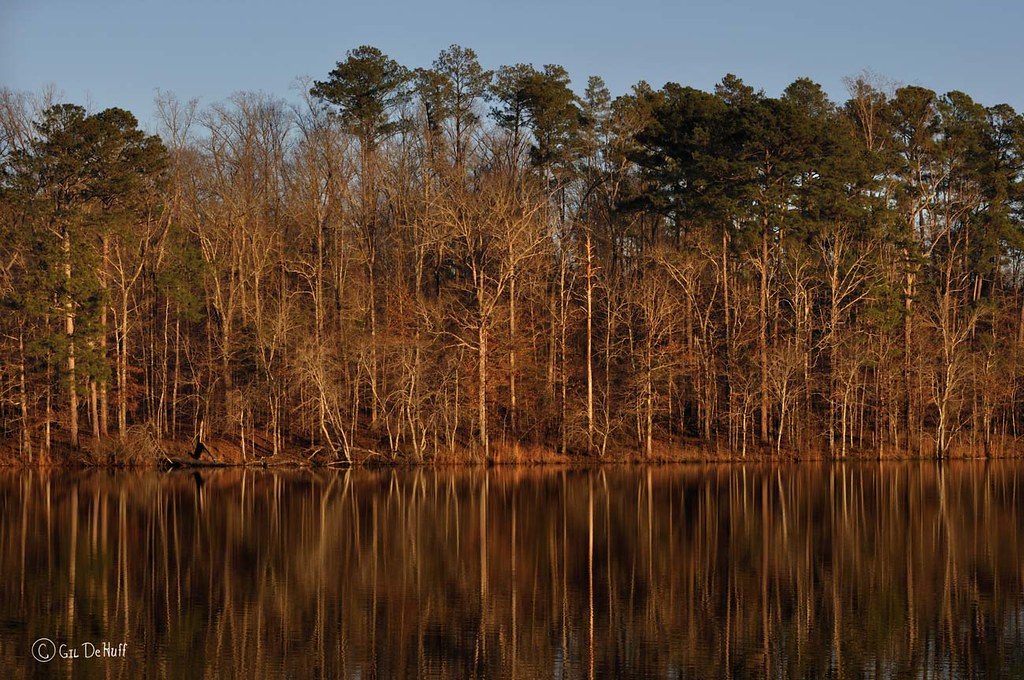
CreamyReflection130118_042-4w
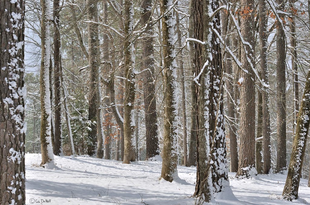
HighSunWinterWoodsD90-029783
NutriaDenD90-020183
Lake Lowndes State Park-1

And Im not done.......

Get em girl

Sparkle Girls 5 pack

Tag Game: Selfie with Favorite Doll

Messing around

The Next Icon- Theme 3: Jeepers Creepers
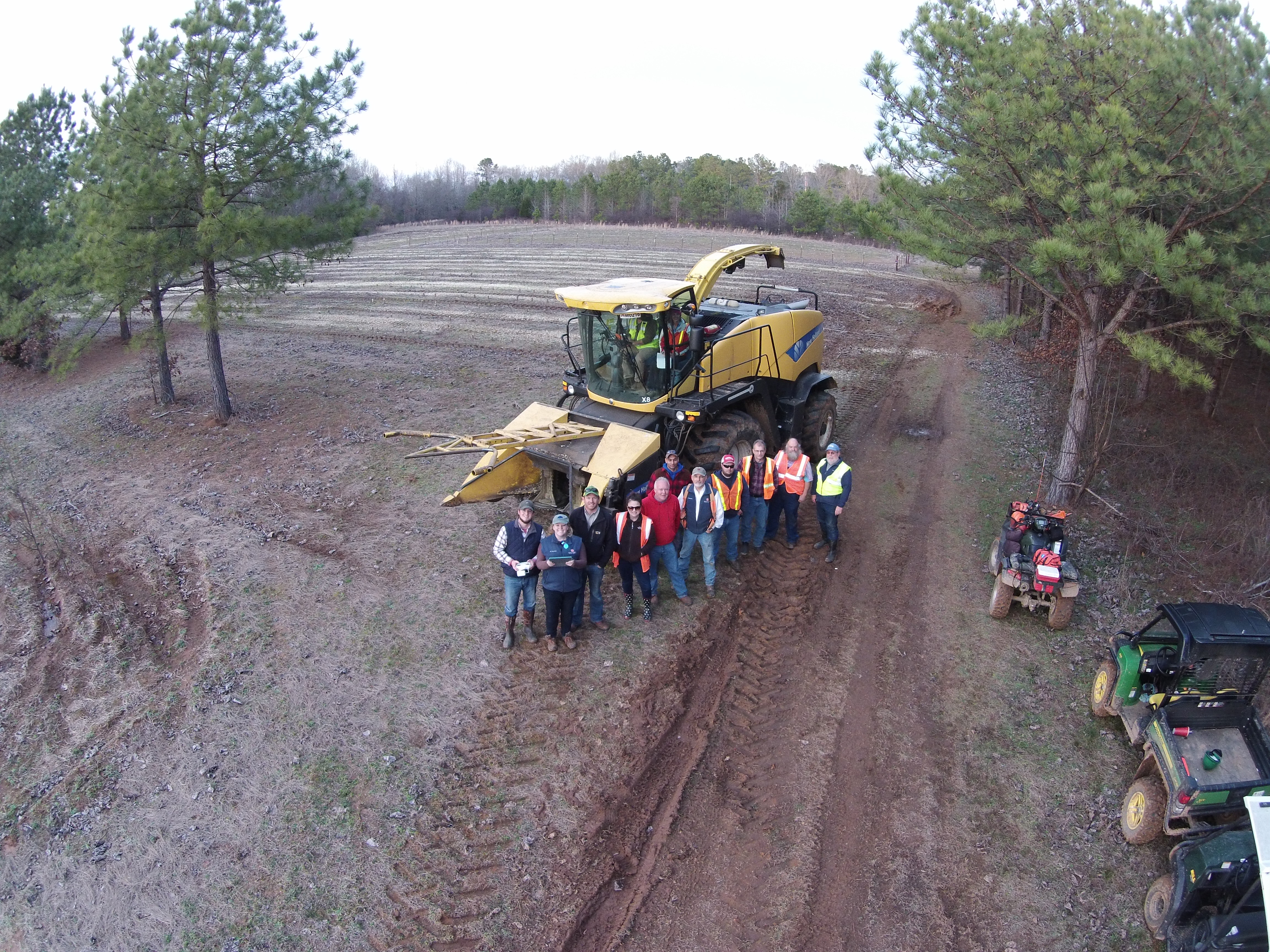
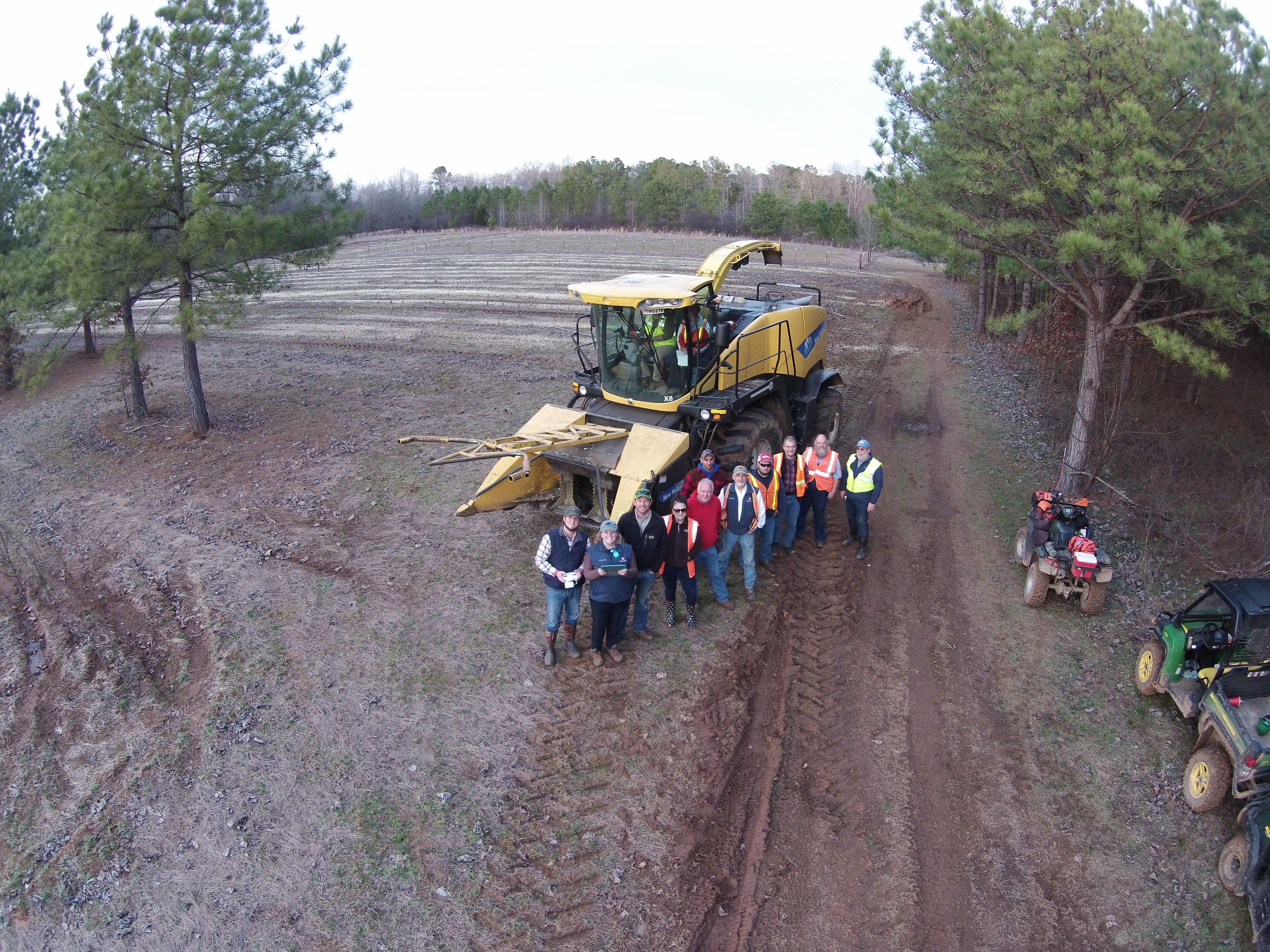
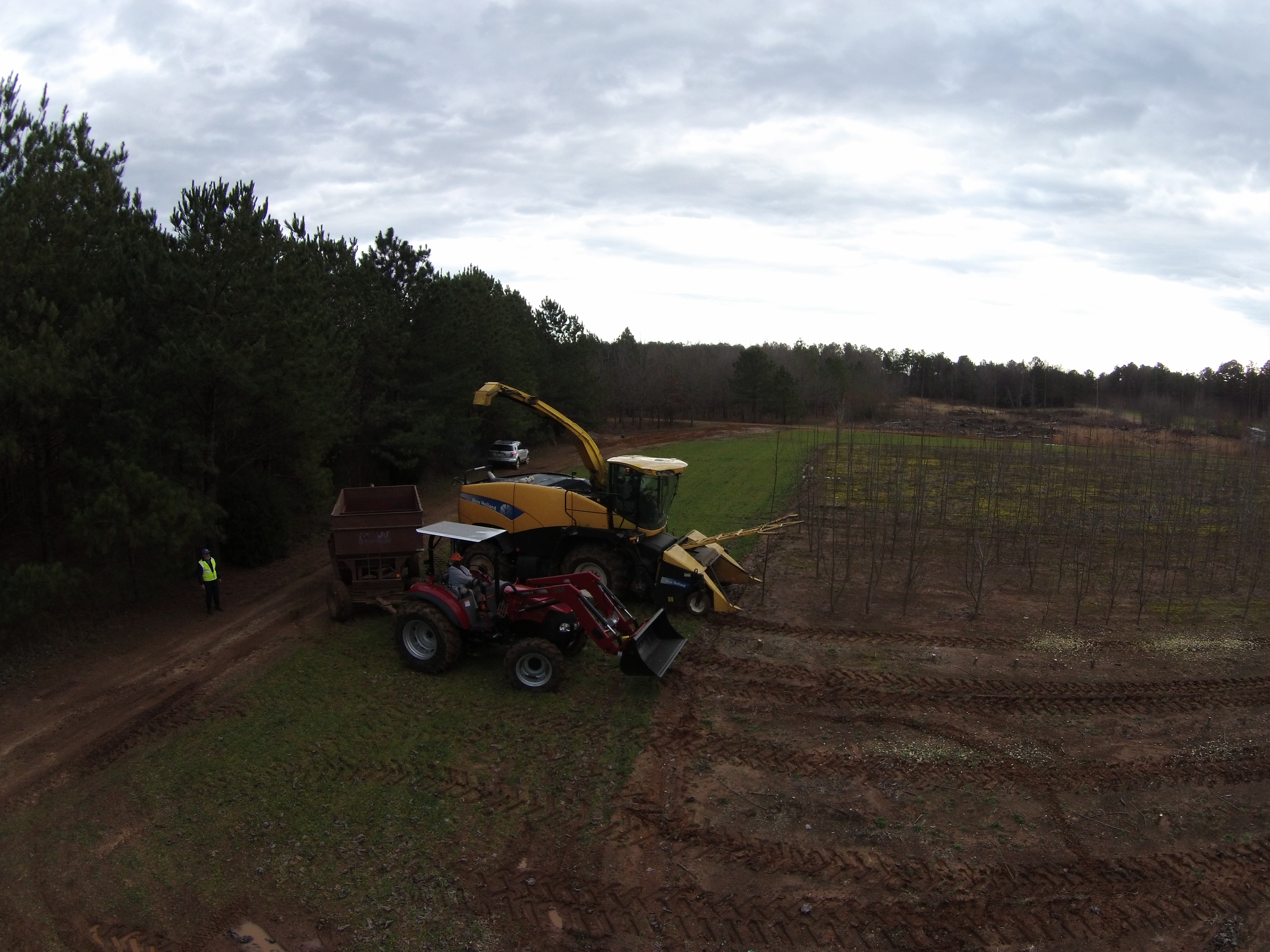
Hybrid Poplar Field Evaluation Team

Output biomass of New Holland FR9080
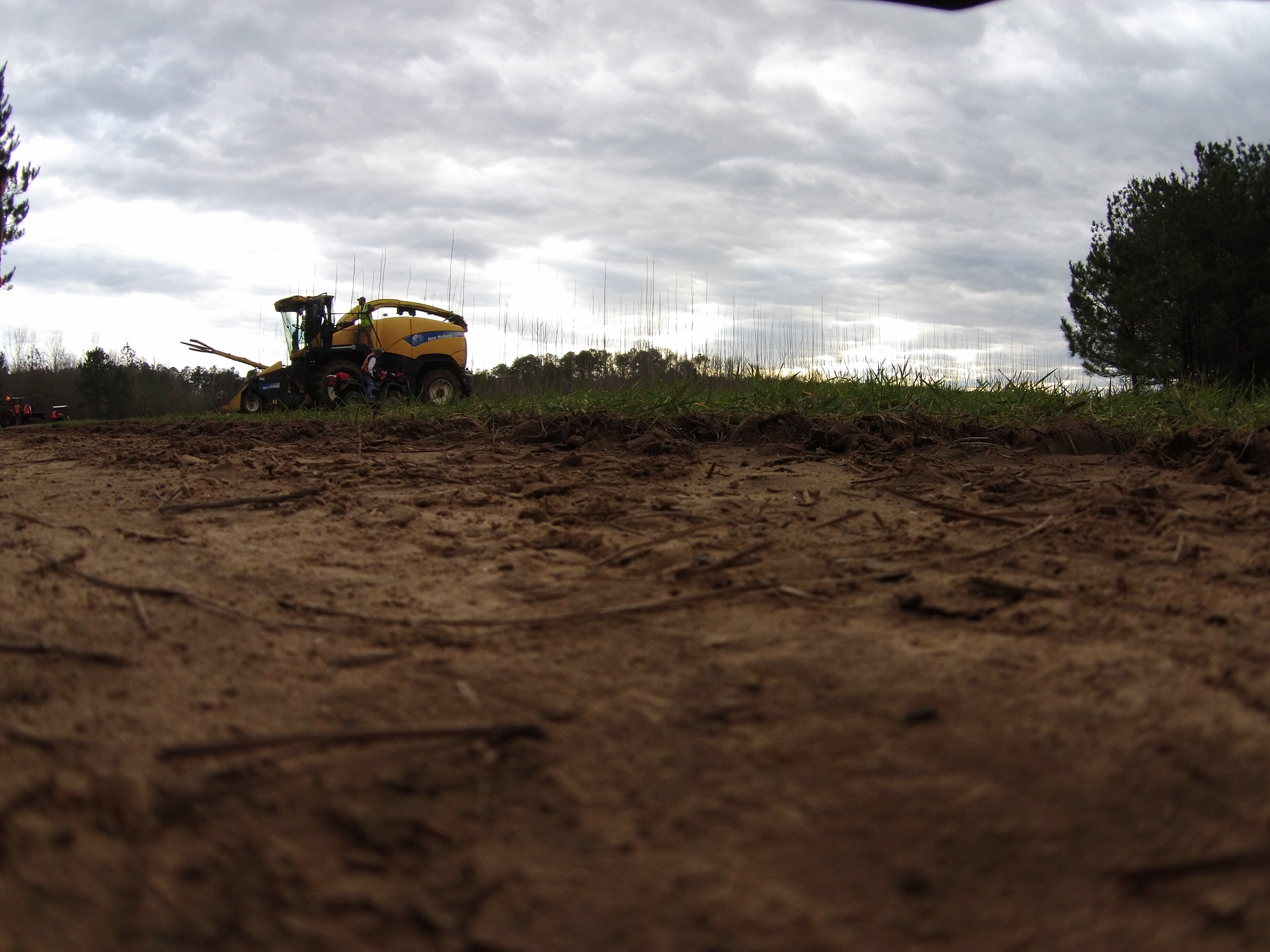
New Holland FR9080
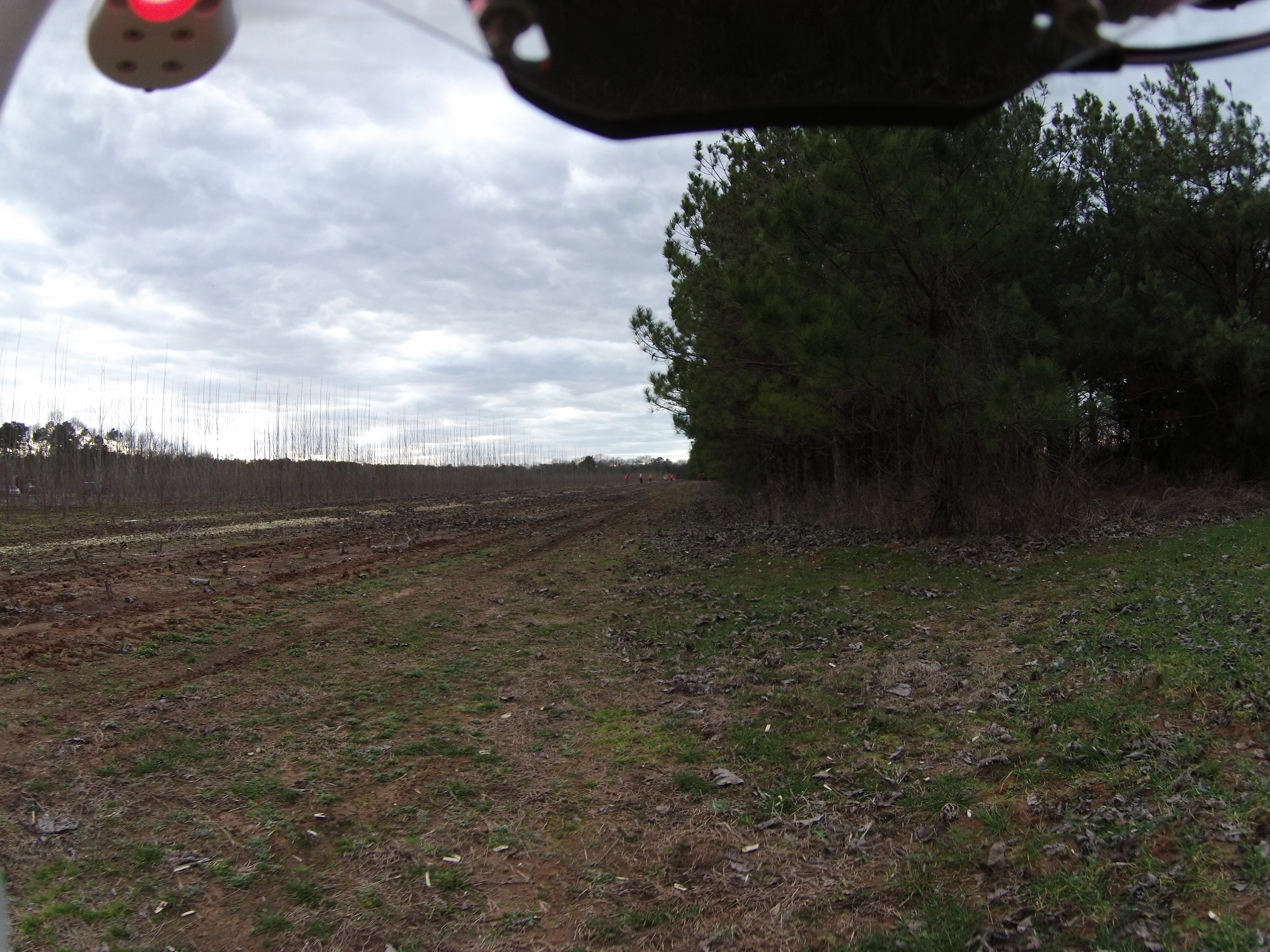
Unmanned aerial vehicle
Unmanned aerial vehicle

Hybrid Poplar Field Evaluation Team
Unmanned aerial vehicle
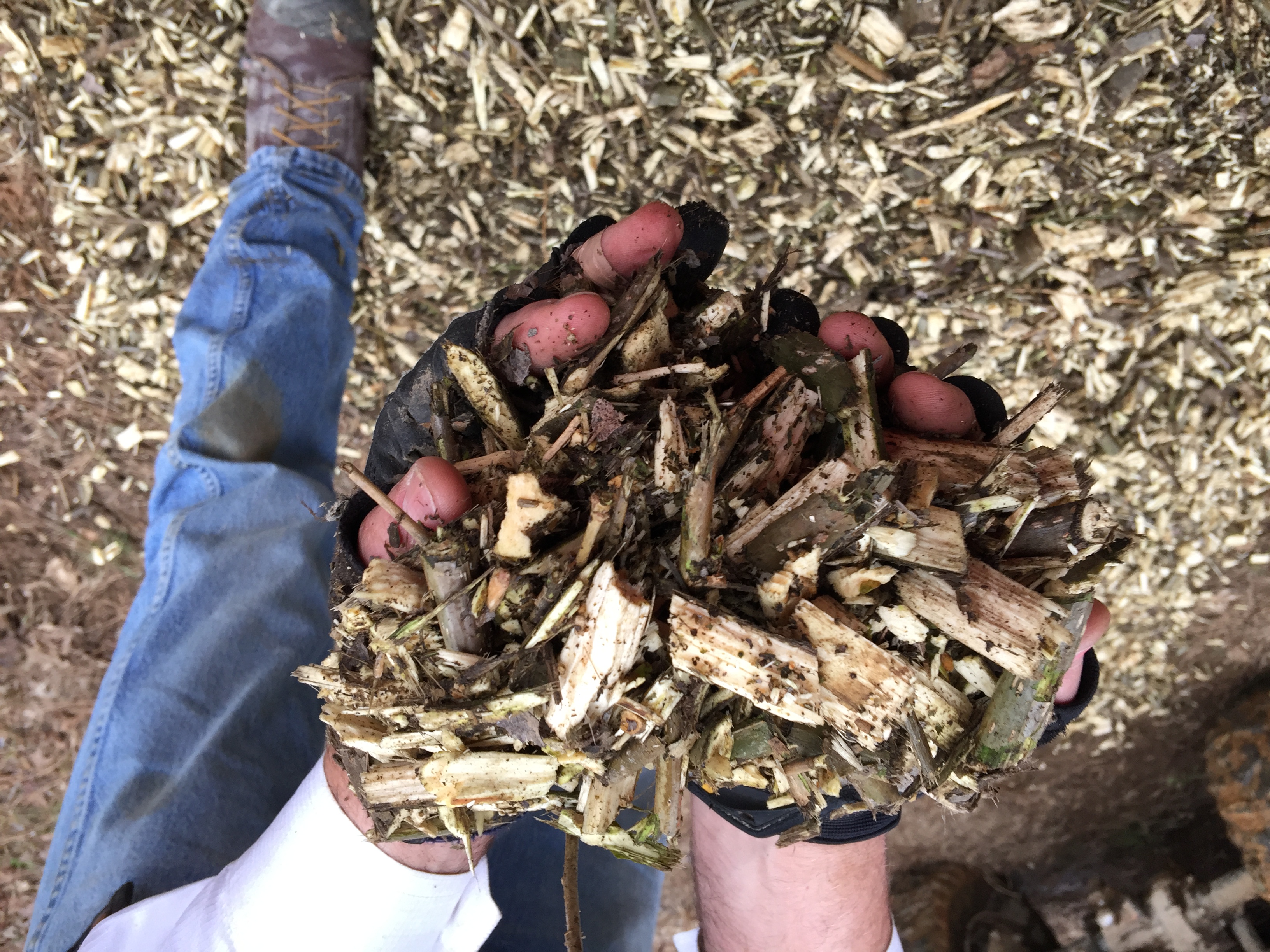
Output biomass harvested from field.
LetSunShineInD90-015601

Tailgating Southern Style. Big screen + camp fire. #soc #tailgating #inflatablescreen #football #Mississippi #campfire

To dye for!
2014-05-23 02.55.55 1

2014-05-23 03.15.20 1

Pimp my ride!!!

abstract-bird-bpn
Topographic Map of 67 Brown Rd, Ethelsville, AL, USA
Find elevation by address:

Places near 67 Brown Rd, Ethelsville, AL, USA:
Ethelsville
Jim Dill Rd, Ethelsville, AL, USA
4300 Co Rd 30
4320 Co Rd 30
4311 Co Rd 30
Co Rd, Ethelsville, AL, USA
Co Rd 35, Reform, AL, USA
E Plum St, Columbus, MS, USA
6003 Hwy 182 E
Coal Fire Cir, Reform, AL, USA
Pickens County
Pickensville
AL-14, Pickensville, AL, USA
Pickensville Campground
Maderia Dr, Columbus, MS, USA
Skylark Dr, Columbus, MS, USA
Woodard Rd, Millport, AL, USA
Bonner Mill Rd, Carrollton, AL, USA
Carrollton
Steens
Recent Searches:
- Elevation of Corso Fratelli Cairoli, 35, Macerata MC, Italy
- Elevation of Tallevast Rd, Sarasota, FL, USA
- Elevation of 4th St E, Sonoma, CA, USA
- Elevation of Black Hollow Rd, Pennsdale, PA, USA
- Elevation of Oakland Ave, Williamsport, PA, USA
- Elevation of Pedrógão Grande, Portugal
- Elevation of Klee Dr, Martinsburg, WV, USA
- Elevation of Via Roma, Pieranica CR, Italy
- Elevation of Tavkvetili Mountain, Georgia
- Elevation of Hartfords Bluff Cir, Mt Pleasant, SC, USA