Elevation of 63 Leber Ave, Carteret, NJ, USA
Location: United States > New Jersey > Middlesex County > Carteret >
Longitude: -74.232124
Latitude: 40.5750641
Elevation: 6m / 20feet
Barometric Pressure: 101KPa
Elevation Map:
Satellite Map:
Related Photos:
Tree Sunset
Reflective Sun

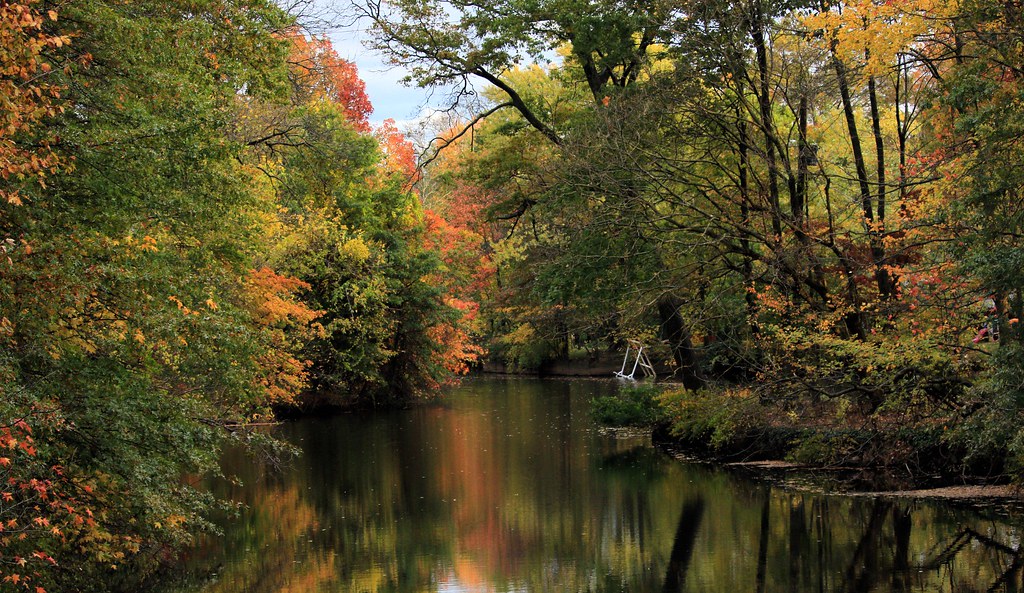
Full-on Autumn
Takeoff, EWR - 6

My placê In NYC 2012
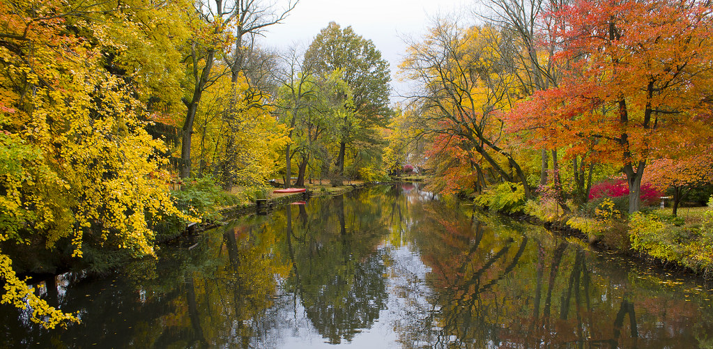
River Fall
Pastoral Landscape

Shooting Bayonne

Sunset and Calm Seas

Mirror Fall
Grand River Fall

Big Plans

Looks Like Tom

Morning Trees in Winter

Down Rahway River
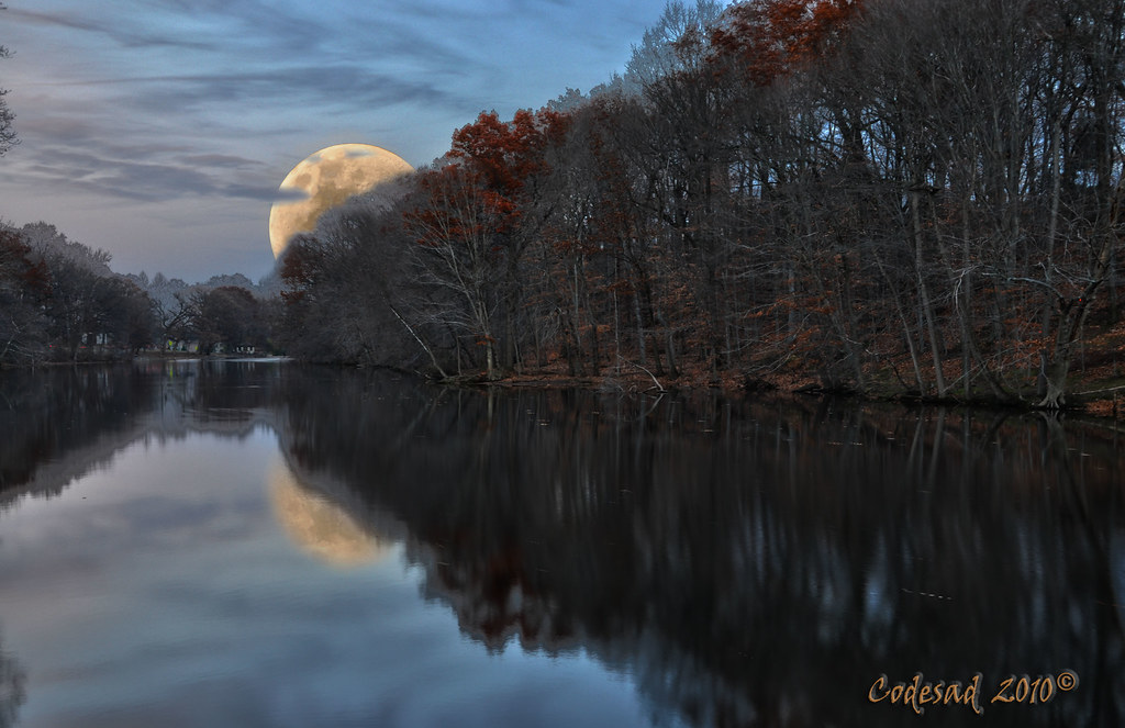
Waxing Gibbous 90%

No matter what, just keep singing...

Echo Lake Winter

Heading Home
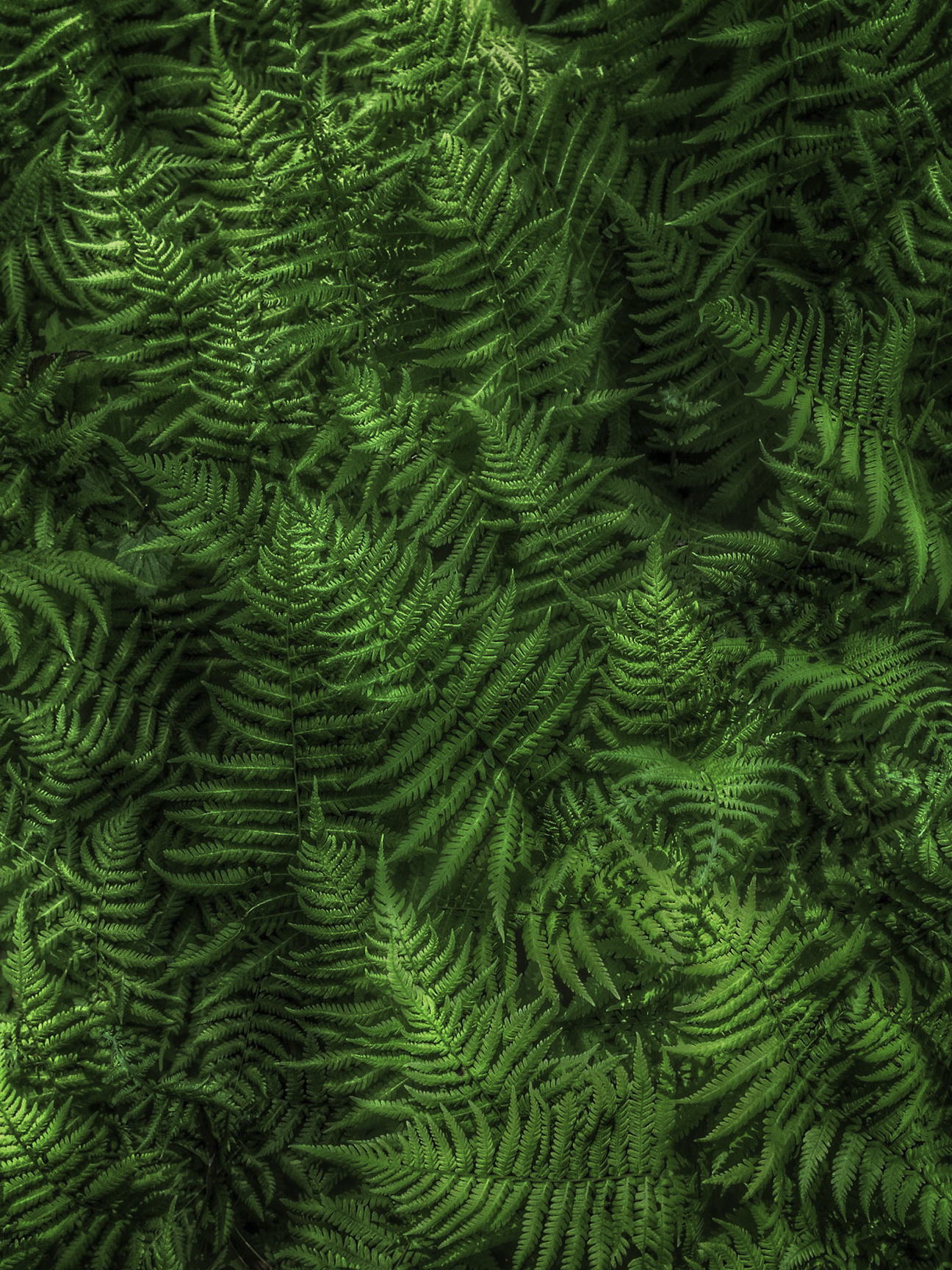
Fern Friday
Trees in the Fog
Topographic Map of 63 Leber Ave, Carteret, NJ, USA
Find elevation by address:

Places near 63 Leber Ave, Carteret, NJ, USA:
58 Spruce St
Carteret
119 Washington Ave
37 Sunset Dr
New Jersey Turnpike
230 Roosevelt Ave
53 Harrison Ave
Bernard St, Carteret, NJ, USA
26 Dalbert St
Port Reading
75 2nd Ave, Port Reading, NJ, USA
95 Lorraine Loop
141 Redwood Loop
Tremley Point Rd, Linden, NJ, USA
Sewaren
3 Muldoon Ave, Staten Island, NY, USA
86 Calvin St
Tremley Point Rd, Linden, NJ, USA
19 Freddie Ave
19 Freddie Ave
Recent Searches:
- Elevation of Corso Fratelli Cairoli, 35, Macerata MC, Italy
- Elevation of Tallevast Rd, Sarasota, FL, USA
- Elevation of 4th St E, Sonoma, CA, USA
- Elevation of Black Hollow Rd, Pennsdale, PA, USA
- Elevation of Oakland Ave, Williamsport, PA, USA
- Elevation of Pedrógão Grande, Portugal
- Elevation of Klee Dr, Martinsburg, WV, USA
- Elevation of Via Roma, Pieranica CR, Italy
- Elevation of Tavkvetili Mountain, Georgia
- Elevation of Hartfords Bluff Cir, Mt Pleasant, SC, USA