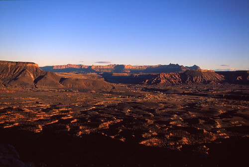
Elevation of 62 Mill St, Virgin, UT, USA

Location: United States > Utah > Washington County > Virgin >

Longitude: -113.18777

Latitude: 37.202221

Elevation: 1079m / 3540feet

Barometric Pressure: 89KPa

Elevation Map:

elevation map of 62 Mill St, Virgin, UT, USA

Satellite Map:

Satellite map of 62 Mill St, Virgin, UT, USA

Related Photos:

road trees mountains nature utah blackwhite unitedstates blueskies zionnationalpark day8 cliffface springdale navajosandstone lookingse kolobterraceroad project365 clff colorefexpro mountainsindistance silverefexpro mukuntuweapnationalmonument nikond800e
A View of Mountains and Sandstone Cliffs along the Kolob Terrace Road (Black & White)
road trees mountains nature utah unitedstates canvas blueskies portfolio zionnationalpark day8 cougarmountain cliffface springdale navajosandstone lookingse kolobterraceroad project365 clff colorefexpro mountainsindistance absolutelystunningscapes mukuntuweapnationalmonument nikond800e
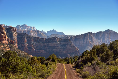
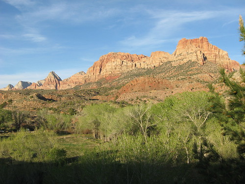
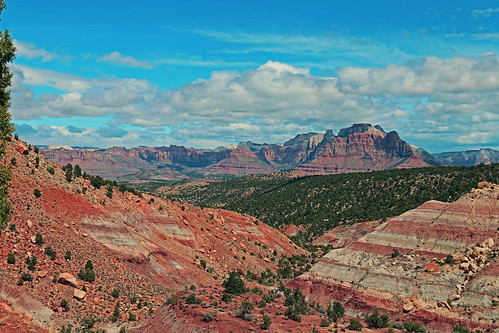
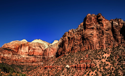
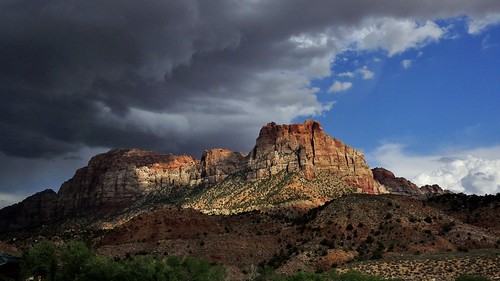
A View of Mountains and Sandstone Cliffs along the Kolob Terrace Road (Zion National Park)
trees mountains nature utah unitedstates virgin blueskies zionnationalpark day8 cliffface lookingeast navajosandstone kolobterraceroad project365 clff colorefexpro mountainsindistance mukuntuweapnationalmonument nikond800e
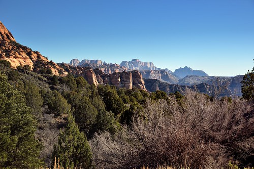
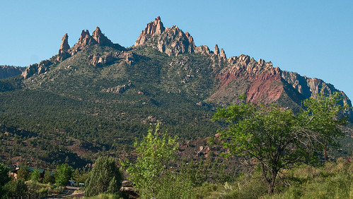
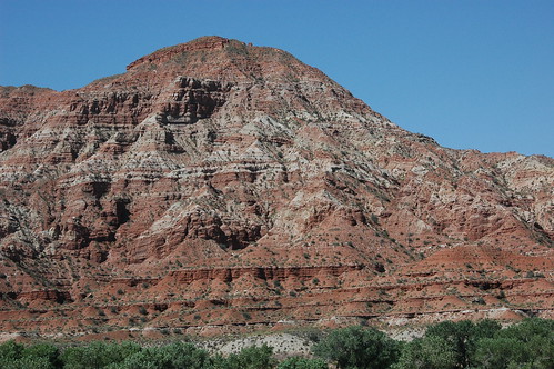
Trees and Rugged Peaks of Sandstone (Zion National Park)
usa mountains nature beauty weather america utah sandstone rocks cliffs virgin temperature geology elevation “zionnationalpark” imagebydesignworks “scenicdrive” heidipuccio “courtofthepatriarchs” “thesentinel” “rockformations” “southwesternunitedstates” “navajosandstone”
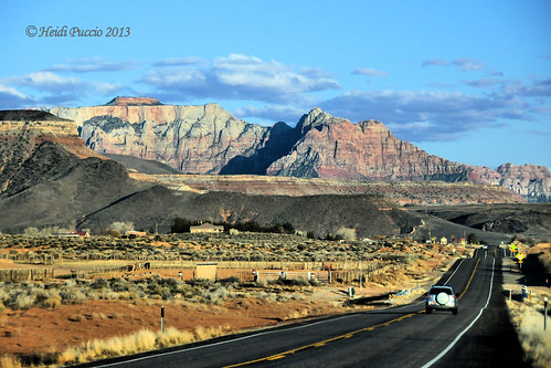
en route to ZION NATIONAL PARK ~ UTAH
square squareformat mayfair iphoneography instagramapp uploaded:by=instagram
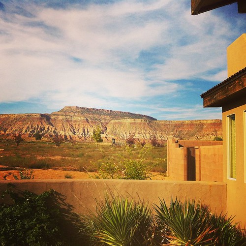
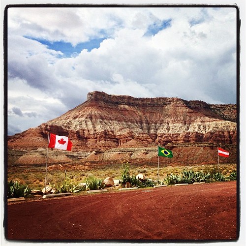
Not stoked that I am working while on "vacation," but I certainly can't complain about this view. #pandainthedesert #mormoncountry #utah
square squareformat iphoneography instagramapp uploaded:by=instagram foursquare:venue=4ea475559911214fd1aa2dec
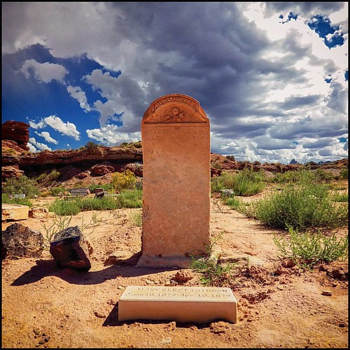
"You're Dead to Me" (02/2014) No salvation. No forgiveness. View my B&W edit at: @JimHubel_bnw. Nikon D70/Photoshop.
utah unitedstates earth places mesa edits springdale lrcrop labcf11 lrvibclar lrhealclone stgeorgetoandfro
Just West of Springdale, UT,
utah unitedstates earth places mesa edits springdale lrcrop lrstraighten labcf11 lrvibclar lrhealclone stgeorgetoandfro
Just West of Springdale, UT,
utah ghosttown ghosttowns
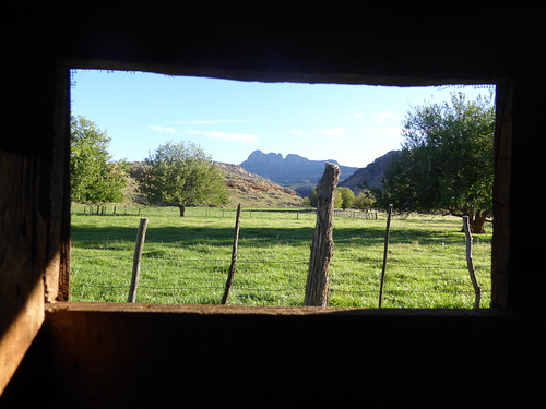
View From The Window
square squareformat iphoneography instagramapp uploaded:by=instagram foursquare:venue=4ea475559911214fd1aa2dec
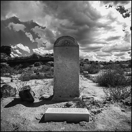
"You're Dead to Me" (02/2014) No salvation. No forgiveness. View my B&W edit at: @JimHubel_bnw. Nikon D70/Photoshop.
utah unitedstates earth places mesa edits springdale lrstraighten labcf11 lrvibclar lrhealclone lrhsl stgeorgetoandfro
Just West of Springdale, UT,
img_0424.jpg
road park sunset sky usa mountain berg clouds landscape utah nikon sonnenuntergang terrace himmel wolken national zion landschaft d300 kolob colorphotoaward mygearandme mygearandmepremium mygearandmebronze mygearandmesilver mygearandmegold
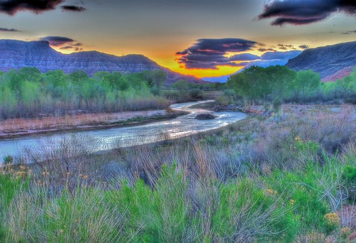
Sunset Kolob Terrace
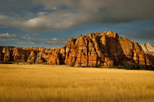
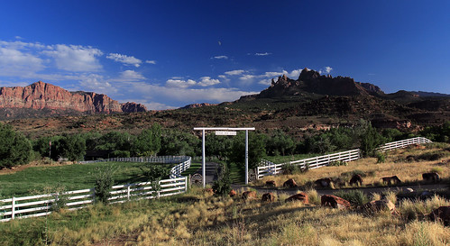
ranch mountains nature clouds rural fence landscape utah sandstone moonrise fields zion zionnationalpark springdale zioncanyon coloradoplateau grandviewranch
Moonrise Over Grand View Ranch
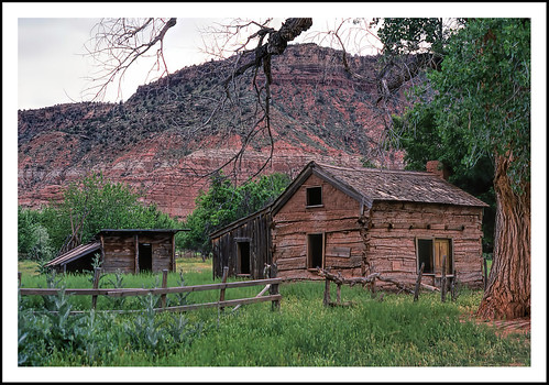
fence geotagged utah logcabin ghosttown hff graftonutah epsonv500 fencefriday
Ghosts of Grafton, Utah For Fence Friday
utah
Rainbow Sunset Panorama
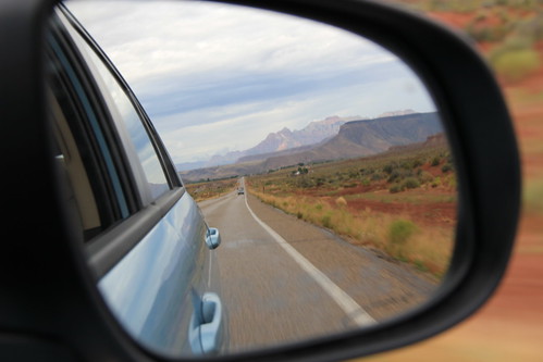
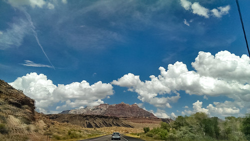
road mountain car mirror utah deaftalent deafoutsidetalent deafoutdoortalent
Rear-view mirror of Zion mountains
park trip utah rocks view unitedstates earth parks roadtrip canyon virgin national massive huge vista bryce zion majestic htcone
IMAG2143.jpg
View from Smithsonian Mesa
D70-0704-007 - View
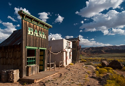
sky building rock set landscape utah rocks scenic bank replica jail wildwest touristattraction deepblue highway9 virginut
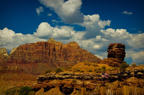
Ghost Town, Pt. 1
horses usa utah us rocks thunderstorm zionnp springdale withehorse
The white Horse
Zion from on High
holiday utah zion springdale 2014
Early Morning in Zion
photography utah ngc zion zionnationalpark hdr thewatchman mandj98 jmpphotography jamesmarvinphelps
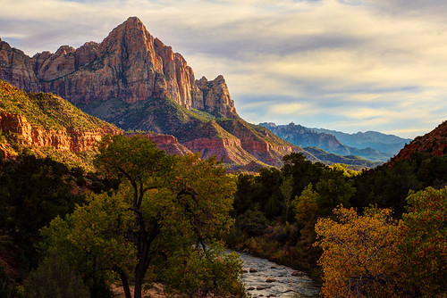
Standing Guard
usa america river landscape geotagged photography utah nationalpark rocks stream flickr cliffs geology wilderness zionnationalpark usnationalpark thenarrows zioncanyon riversidewalk markbimagery
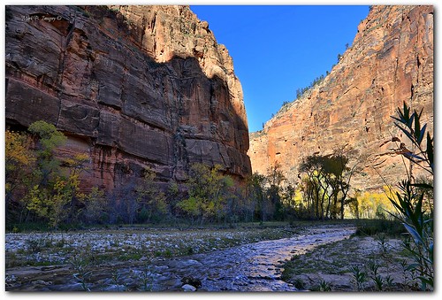
T H E ` N A R R O W S
sky usa mountain clouds utah us nationalpark bluesky thunderstorm zionnp springdale
after thunderstorm
tonemapped
09 Apr Roadtrip 60
zionnationalpark nationalparks lightroom summer2009
20090801-DWN_3811
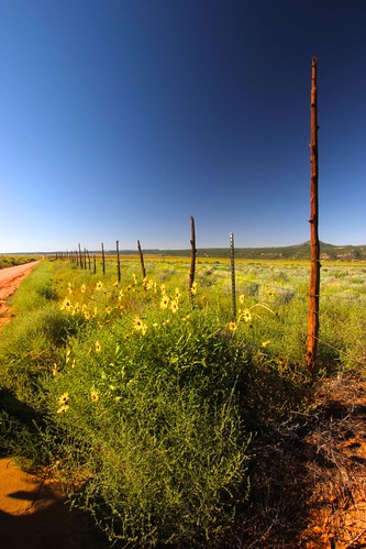
Sunflowers near Smithsonian Butte UT
travel sunset usa nature subway landscape thailand utah nationalpark unitedstatesofamerica canyon northamerica zion zionnationalpark thesubway pichayaviwatrujirapong
The Subway
square lofi squareformat iphoneography instagramapp uploaded:by=instagram foursquare:venue=5046b597e4b001f46320b3ec
I'm like ... WoW!
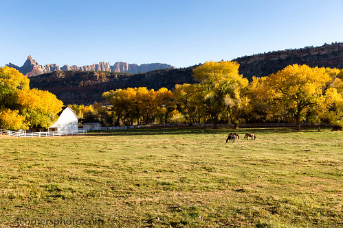
autumn trees sky horses mountains color tree fall horizontal barn rural fence landscape utah scenery unitedstates pasture vegetation northamerica agriculture greatbasin virginriver pinevalley washingtoncounty eaglecrags basinandrangeprovince 4cornersphoto
Grazing Horses, Pine Valley, UT
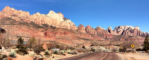
blue sky usa cloud mountain color rock contrast landscape landscapes utah hwy9 d3x
Utah 9
utah zion uploaded:by=flickrmobile flickriosapp:filter=nofilter
First look - Zion National Park #zion #utah
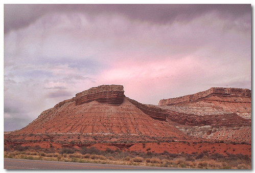
utah mesa hurricanemesa
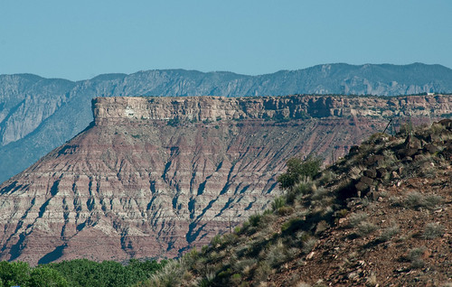
Hurricane Mesa
analog utah sandstone desert hurricane velvia zion zionnationalpark redrock analogphotography rvp50
Hurricane Hills
road utah zionnationalpark
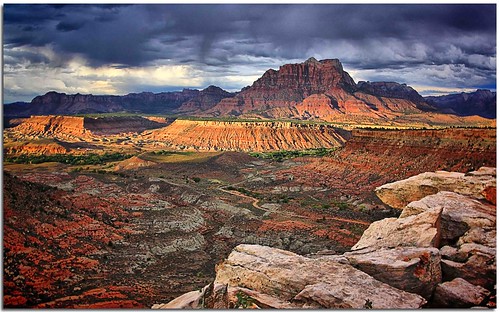
Kolob Terrace Road - Zion National Park, Utah