Elevation of 61 Pond Rd, Wilton, CT, USA

Location: United States > Connecticut > Fairfield County > Wilton >

Longitude: -73.400754

Latitude: 41.1983058

Elevation: 98m / 322feet

Barometric Pressure: 100KPa

Elevation Map:

elevation map of 61 Pond Rd, Wilton, CT, USA

Satellite Map:

Satellite map of 61 Pond Rd, Wilton, CT, USA

Related Photos:

wedding newyork reflection love rain groom bride nikon kiss jen flash may upstatenewyork 2008 d3 lechateau jenandchris sb800 southsalem strobist 2470mmf28g
Rainy Day Memories
120 mediumformat connecticut 6x7 blackrock pentax67 explored fujipro160s norp67fp160s0409006 soundofchina
the clams have fallen asleep
autumn sky fall last leaf mac cross process treesky reddin edgedonkey
The last signs of fall
birthday longexposure houses sunset seascape storm seaweed reflection beach nature water glass clouds moss nikon rocks waves purple unitedstates connecticut compo atlantic le lee sound westport atlanticocean longislandsound compobeach bigstopper leebigstopper aaronmeyersphotography
Surprise Events
120 mediumformat squirrel norwalk 6x7 c41 pentax67 explored fujipro800z autaut nycp67fp800z0908004 pentax6x7smctakumar55mmf35
heart of palm hammock
120 me mediumformat 6x7 c41 pentax67 explored wherewasi fujipro160s nycp67fp160s0808088
[man] is always just a gesture
red white love project photo mac cross heart 365 process flour reddin platinumheartaward edgedonkey
Day 19 - White Love
nycrf400nc0810009 schneiderxenotar80mmf28 square 6x6 120 mediumformat tlr connecticut kodakportra400nc blackrock rolleiflex28c keiko imnotblue sullivan portrait
cornered couple concoction
square squareformat iphoneography instagramapp uploaded:by=instagram
This view was well worth going out in the cold. #mothernature #sunset #connecticut
frameit mygearandme rememberthatmomentlevel1 flickrsfinestimages1 flickrsfinestimages2 rememberthatmomentlevel2 rememberthatmomentlevel3 vigilantphotographersunite vpu2 vpu3 vpu4 vpu5 vpu6 vpu7 vpu8 vpu9 vpu10 frameitlevel3 frameitlevel4
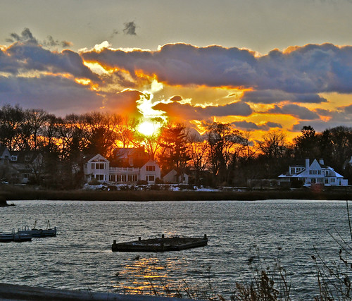
House on Fire.....
sky favorite clouds 5 explore android 200138 bayleybeachrowaytonct mymostviewedphotos 589views 5589views
Surreal Sky
MY VIEW OF WINTER
mac reddin edgedonkey
Day 15 - First Snow
square squareformat iphoneography instagramapp uploaded:by=instagram foursquare:venue=4ac8ae49f964a52041bc20e3
Wanted to say hi to #mothernature this morning and the beach gate was closed. Illegally parked and trekked in as far as a pair of vans would let me and this was my view. Desolate and #beautiful #sunshine #bluesky #babyitscoldoutside #notsopatheticuttoday

trees sky white black tree up mac branch looking gray reddin edgedonkey
Looking Up
blue cloud up clouds project flying photo mac hand cross arm helicopter reach 365 process sy reddin artofimages edgedonkey
Day 2 - Reach up High
westport
Saugatuck River at Ebb Tide
sunset sky sun connecticut norwalkct
A good time to be empty...

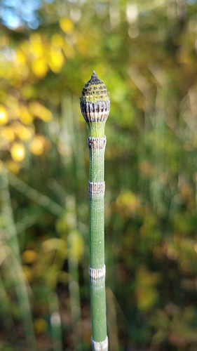
mesic puzzlegrass endemic northamerica evergreenperennial rhizomatous perennialplant redding ferndivisionpteridophyta unitedstatesofamerica connecticut flora horsetail fall autumn scouringrush equisetumarvense usa equisetaceae ct herb unitedstates us
Horsetail (Equisetum arvense)
black green water leaves project photo droplets drops mac cross drop droplet 365 process reddin platinumheartaward edgedonkey
Day 7 - Droplets
white plant orchid flower dead mac flora wilted wilting abigfave reddin edgedonkey
Wilting - 2
Last stand
tree fall canon leaf maple connecticut newengland foliage millpond 5diii
The Rapture Of Change
Calf Pasture Beach and Island
sunset bravo saugatuck longislandsound redskyatnight innatlongshore longshoreinn magicalskiesmick
IMG_3638-3640 Longshore Sunset Panorama
film beach nikon kodak connecticut ct nikonf100 nikkor e6 fairfield lifeguardchair kodakelitechrome100 penfieldbeach fairfieldcounty nikonaf1835mmf3545dedif
Lifeguard Station 3 (Lifeguard Off Duty)
Tree of Heaven
After the fall
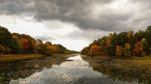
autumn trees panorama fall water clouds october stitch fallcolors connecticut ct autumncolours newcanaan fairfieldcounty sonydscrx100
Grupes Reservoir
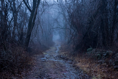
trees ny newyork fog path trail westchestercounty southsalem lewisboro sonydscrx100 onatrufarmpark
onatru farm park
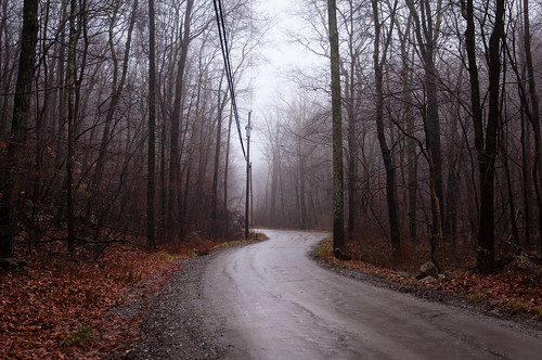
trees winter wet rain fog westchestercounty unpavedroad southsalem lewisboro nikkor2470mmf28 nikon2470mmf28 oldchurchland
Old Church Lane
film fuji connecticut ct olympus fairfield olympusxa pinecreek fujisuperiaxtra400 c41 olympusfzuiko35mmf28 fairfieldseniorcenter
Pine Creek
blue light sky orange sun art fall apple nature colors clouds landscape rainyday glowing ripples bridgeport mothernature cloudporn longislandsound iphone appleiphone4s lifeusa
Grey horizon
square airplane toy squareformat walden rcplane iphoneography instagramapp uploaded:by=instagram foursquare:venue=4cb9d0829552b60c58f0d58b
Ready for liftoff!
square lofi squareformat iphoneography instagramapp uploaded:by=instagram
First crisp ride of the season. Came home and ordered all the cold weather gear I could haha. #sunset #rideabikeeveryday
graveyard fog droplets dof bokeh connecticut waterdrops ridgefield fairfieldcounty tamron1750mmf28
water drops
trees ny newyork forest sunrise woods shadows westchestercounty southsalem lewisboro sonydscrx100 onatrutownpark
Onatru Farm Park
trees clouds spring
how sweet to be a cloud
square squareformat iphoneography instagramapp uploaded:by=instagram
Took some time to get lost this morning. #mothernature #bluesky #connecticut
square sierra squareformat iphoneography instagramapp uploaded:by=instagram foursquare:venue=4b8f9f96f964a5205b5a33e3
10th Tee #longshore
innatlongshore longshoreinn
IMG_2269 The House on the Point