Elevation of 61 Ore Bed Rd, Schuyler Falls, NY, USA
Location: United States > New York > Clinton County > Black Brook >
Longitude: -73.752792
Latitude: 44.581764
Elevation: 376m / 1234feet
Barometric Pressure: 97KPa
Elevation Map:
Satellite Map:
Related Photos:
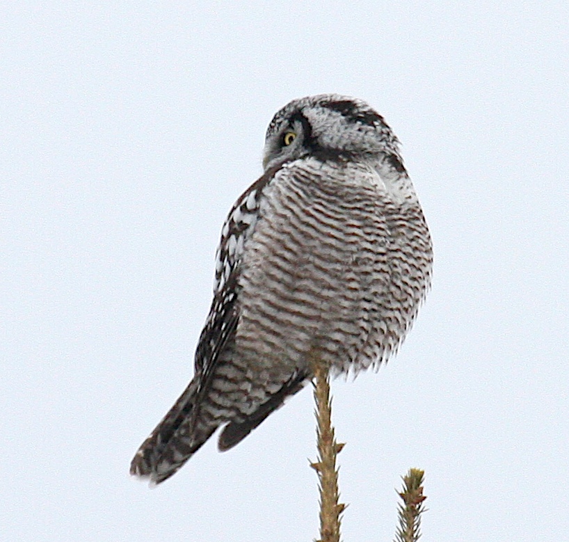
Northern Hawk Owl - #3 of 4 shots
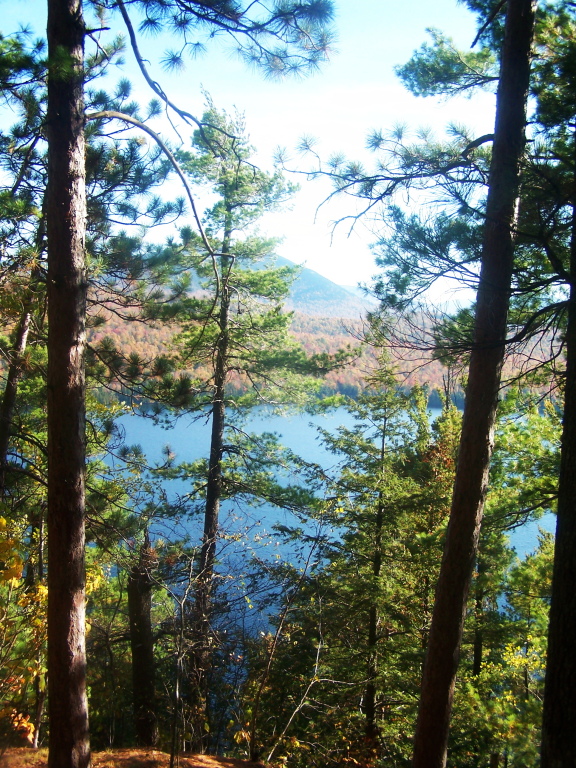
View of Silver Lake from Cliff
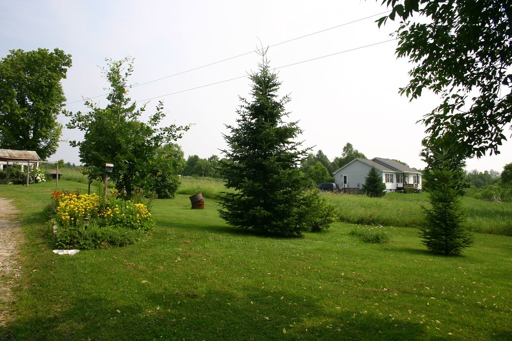
View of neighbors house
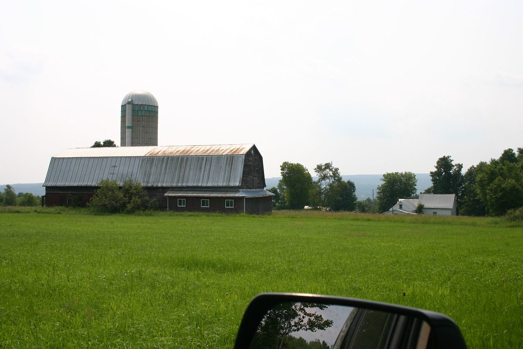
View of Barn
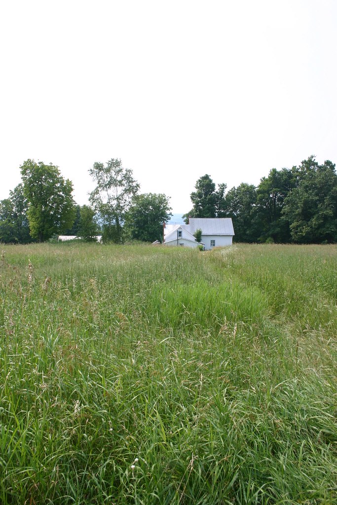
View From Field 1
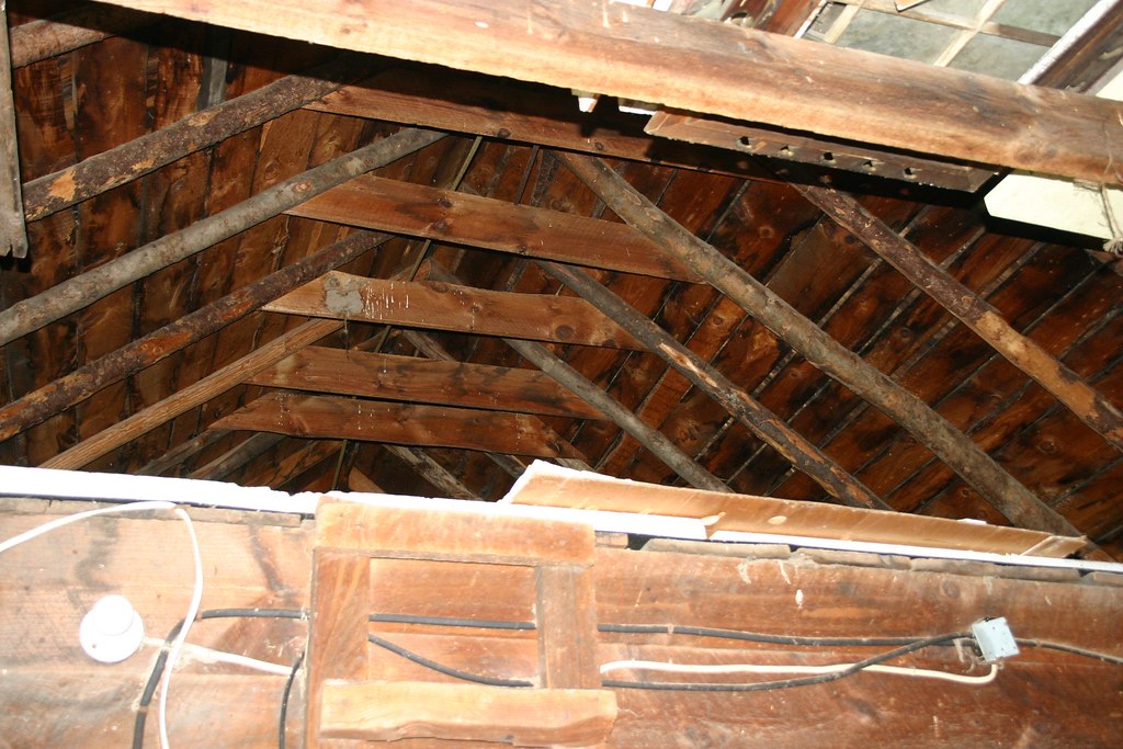
Loft Area
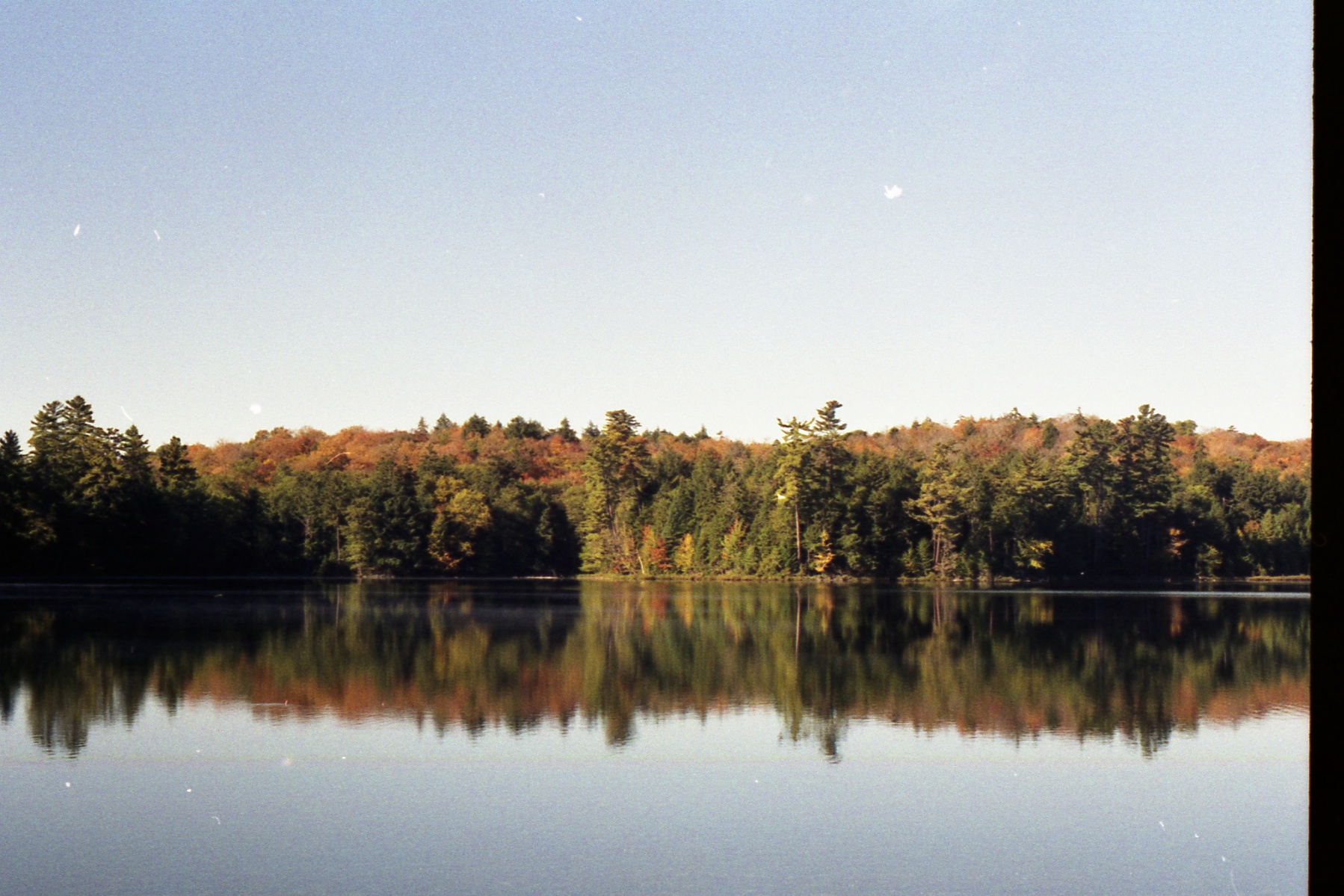
Chazy Lake Outlet

Chazy Lake Outlet
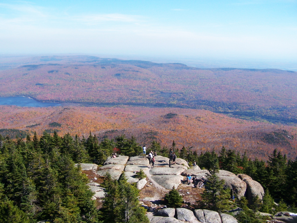
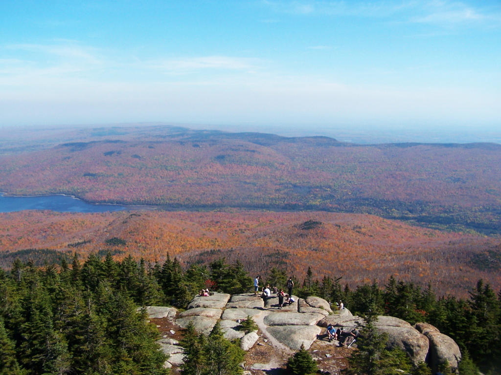
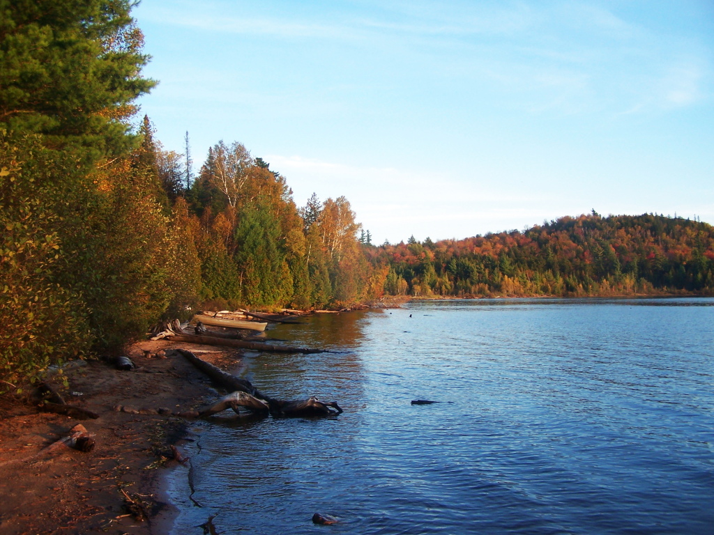
Silver Lake Mountain

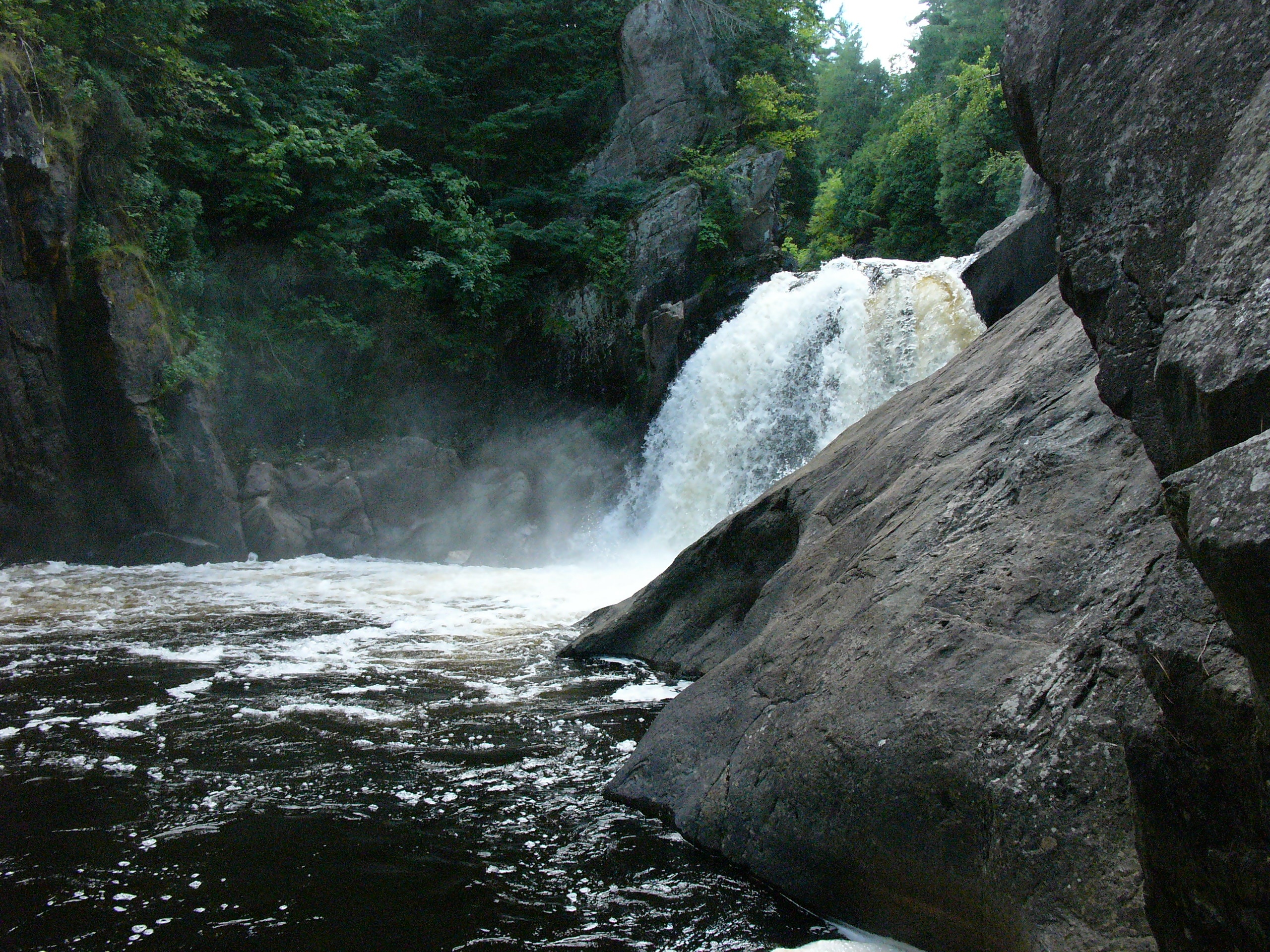
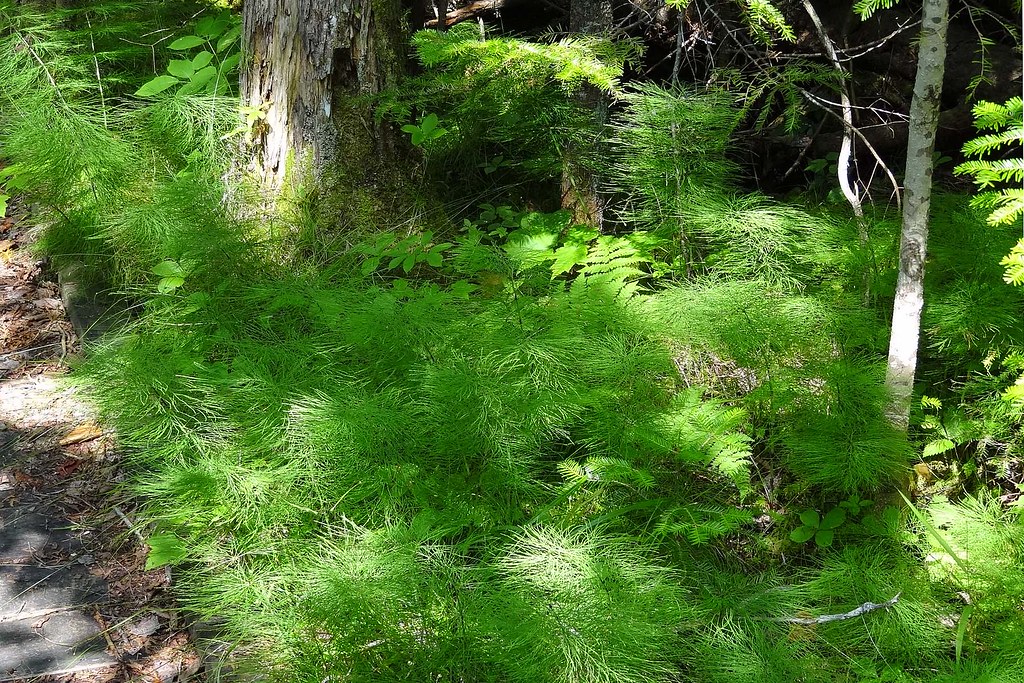
Beneath the Hill
198?004-Camping

Saranac Vacation 114

Saranac Vacation 105
Saranac Vacation 102

Saranac Vacation 104
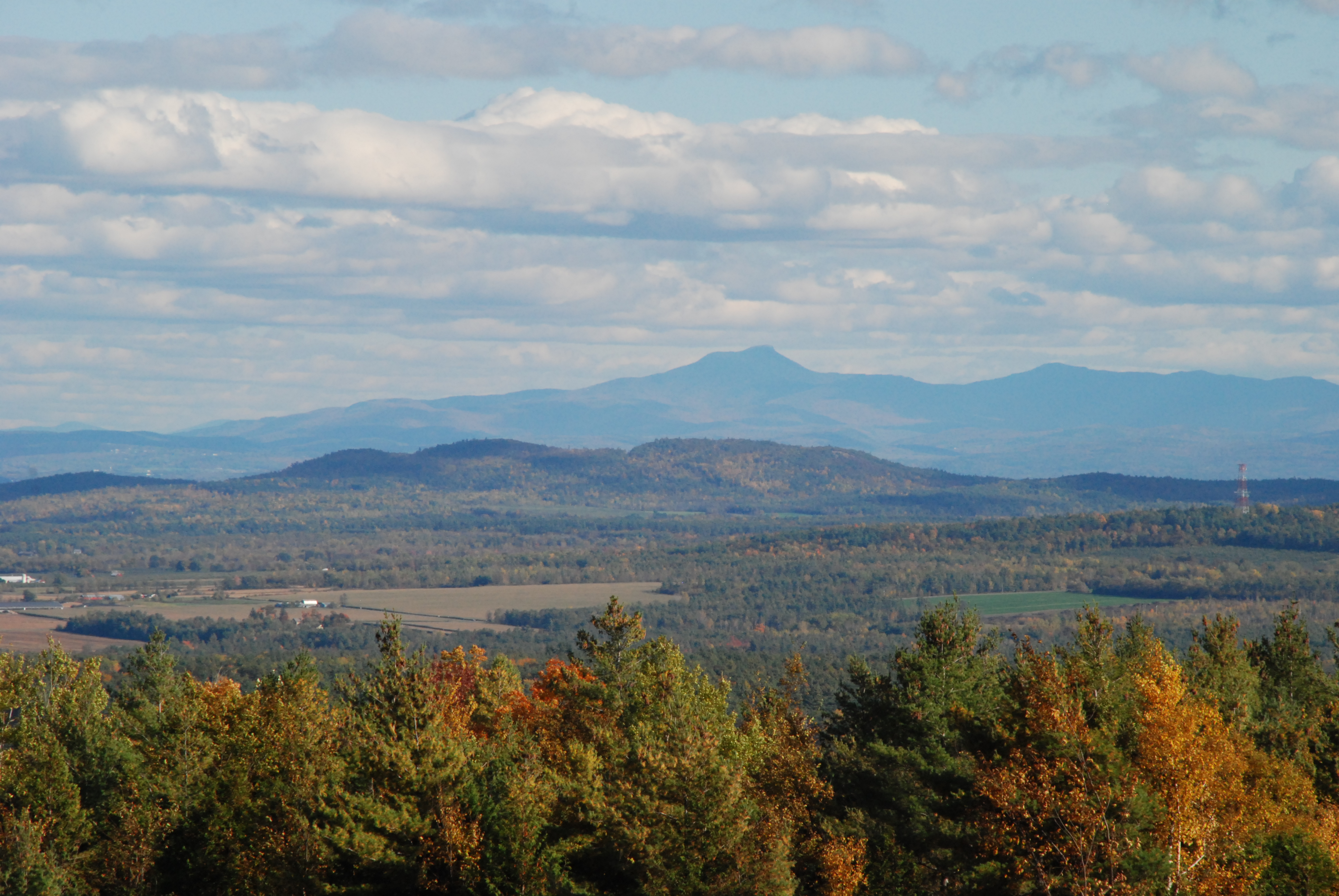
Camels Hump
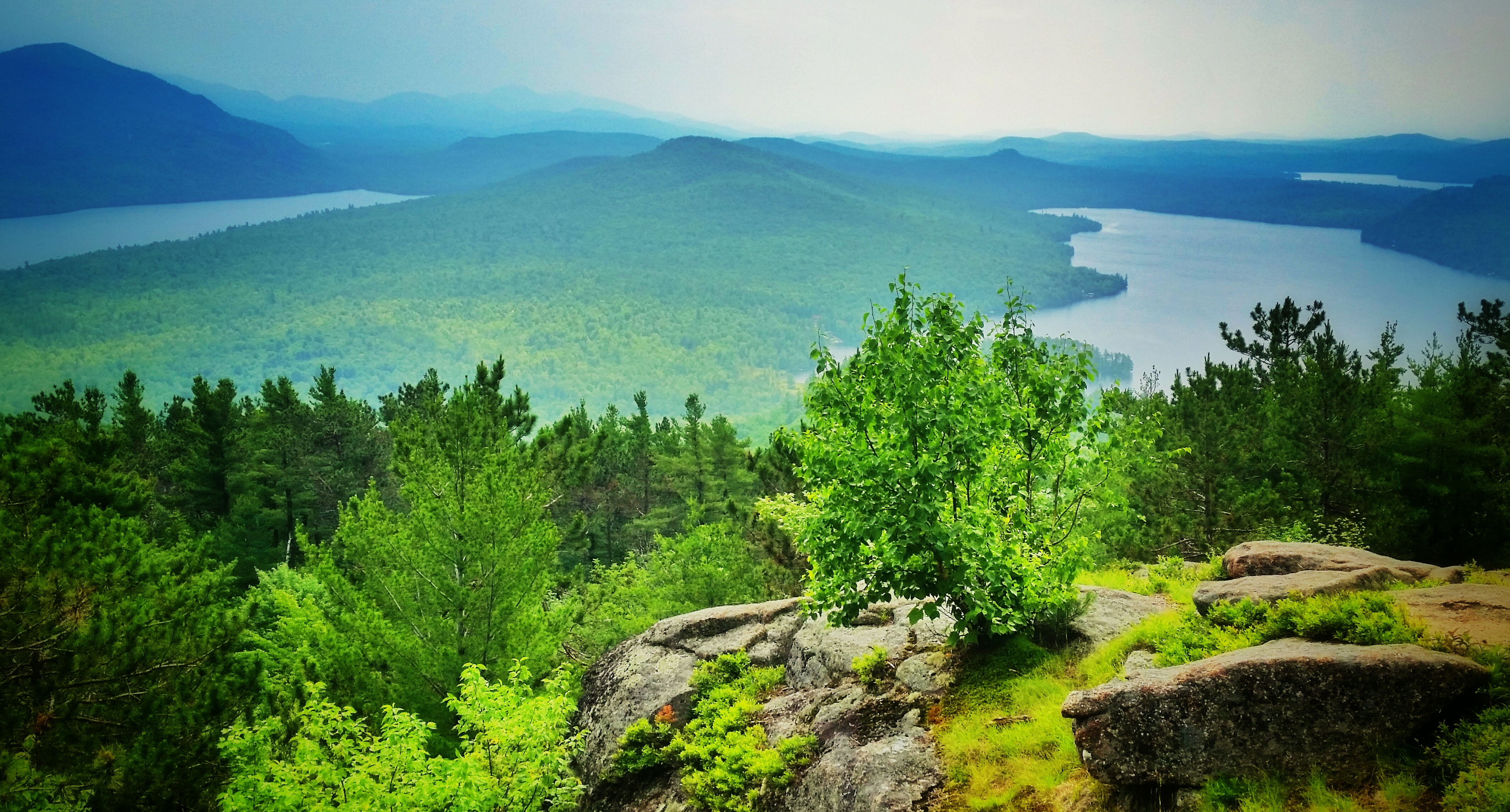
Silver Lake vista
People Out on Lyon Mountain
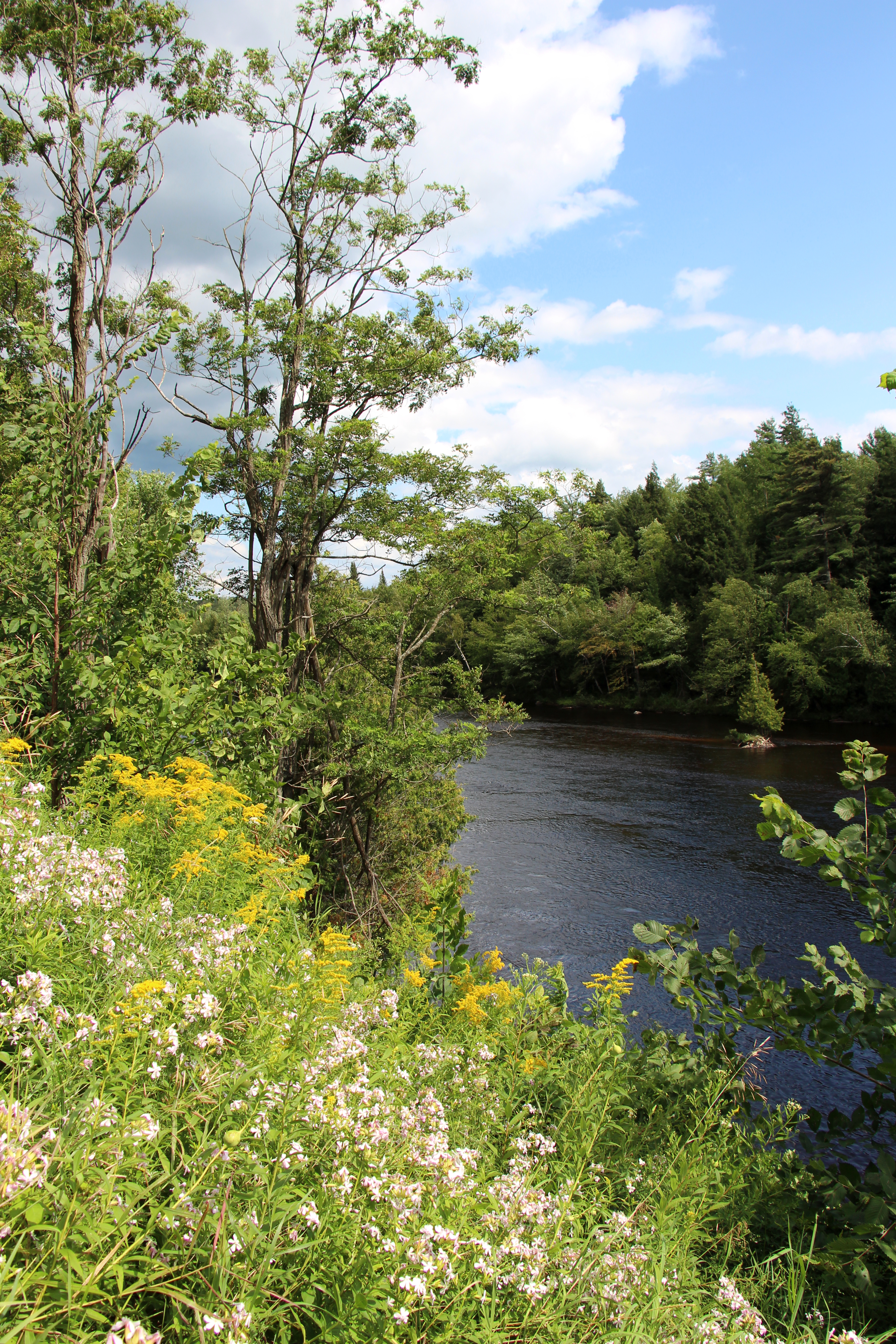
Saranac River
198?005-Camping
198?009-Camping
Spring Lake Bog
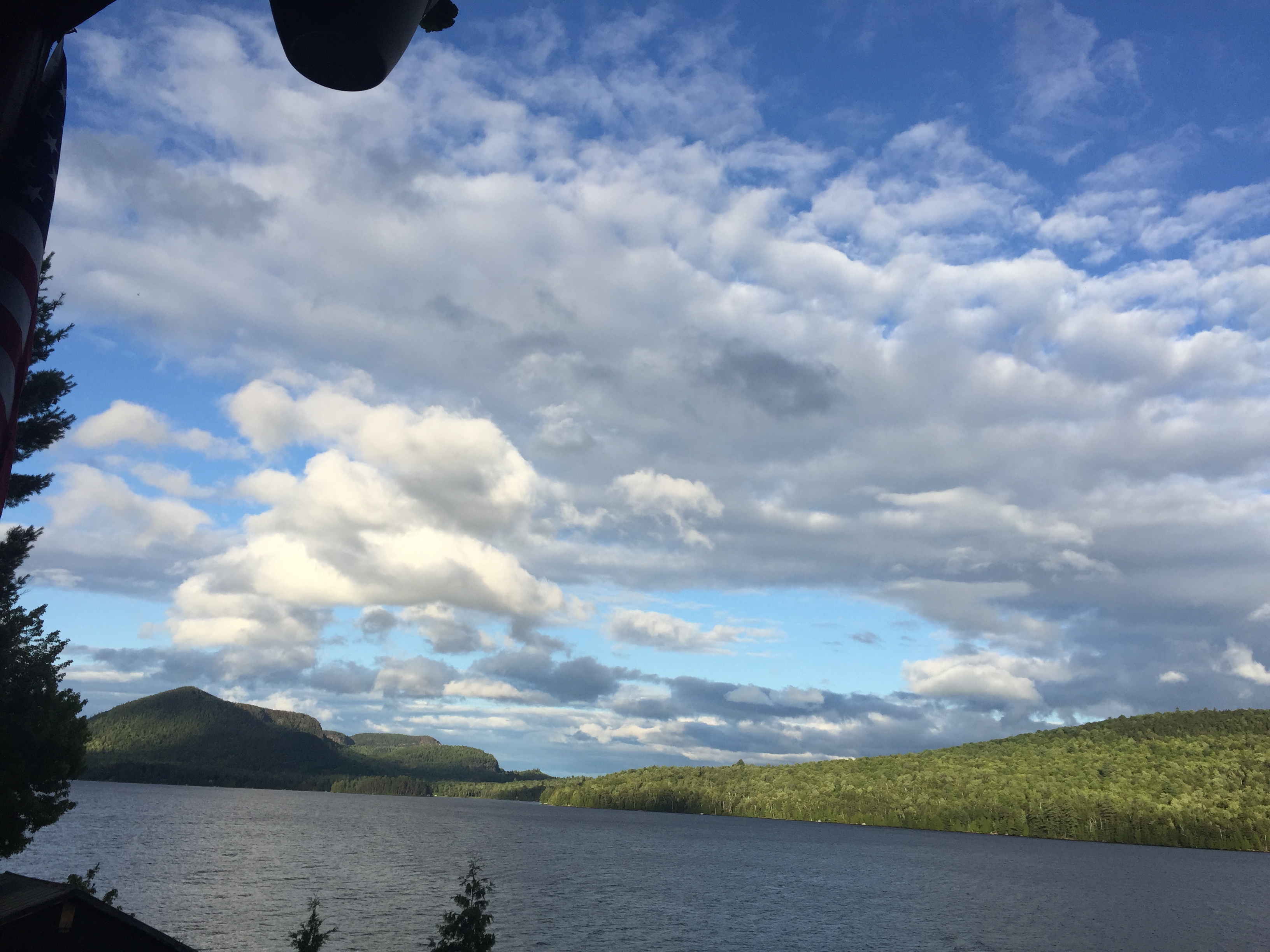
Little Bear Bay in Evening

????

Union Falls Road

Saranac Vacation 176
Topographic Map of 61 Ore Bed Rd, Schuyler Falls, NY, USA
Find elevation by address:

Places near 61 Ore Bed Rd, Schuyler Falls, NY, USA:
Strackville Road
Strackville Road
Strackville Road
Strackville Road
Redford
Clinton St, Redford, NY, USA
710 Burnt Hill Rd
9 Strackville Rd, Schuyler Falls, NY, USA
Peasleeville Road
87 Downs Rd
262 Narrows Rd
Fern Lake
321 Patent Rd
51 Secluded Way
136 Rod And Gun Club Rd
71 Secluded Way
53 Secluded Way
Reservoir Road
Peru Water Filtration Plant
327 Norrisville Rd
Recent Searches:
- Elevation of Corso Fratelli Cairoli, 35, Macerata MC, Italy
- Elevation of Tallevast Rd, Sarasota, FL, USA
- Elevation of 4th St E, Sonoma, CA, USA
- Elevation of Black Hollow Rd, Pennsdale, PA, USA
- Elevation of Oakland Ave, Williamsport, PA, USA
- Elevation of Pedrógão Grande, Portugal
- Elevation of Klee Dr, Martinsburg, WV, USA
- Elevation of Via Roma, Pieranica CR, Italy
- Elevation of Tavkvetili Mountain, Georgia
- Elevation of Hartfords Bluff Cir, Mt Pleasant, SC, USA