Elevation of 5 Points Rd, Creekside, PA, USA
Location: United States > Pennsylvania > Indiana County >
Longitude: -79.208446
Latitude: 40.729255
Elevation: 326m / 1070feet
Barometric Pressure: 97KPa
Elevation Map:
Satellite Map:
Related Photos:

Evening Grosbeaks at Higbee's Yard, Indiana, PA on Nov 1, 2012
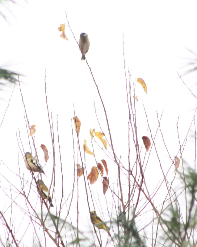
Evening Grosbeaks at Higbee's Yard, Indiana, PA on Nov 1, 2012

Evening Grosbeaks at Higbee's Yard, Indiana, PA on Nov 1, 2012

Evening Grosbeaks at Higbee's Yard, Indiana, PA on Nov 1, 2012

Evening Grosbeaks at Higbee's Yard, Indiana, PA on Nov 1, 2012

Late Sweets

Remedy for Snow

Red-bellied Woodpecker - Creekside Rd., Indiana Co, PA - Dec 26, 2015

House Finch & American Goldfinch - Creekside Baseball Fields, Indiana Co, PA - Dec 26, 2015
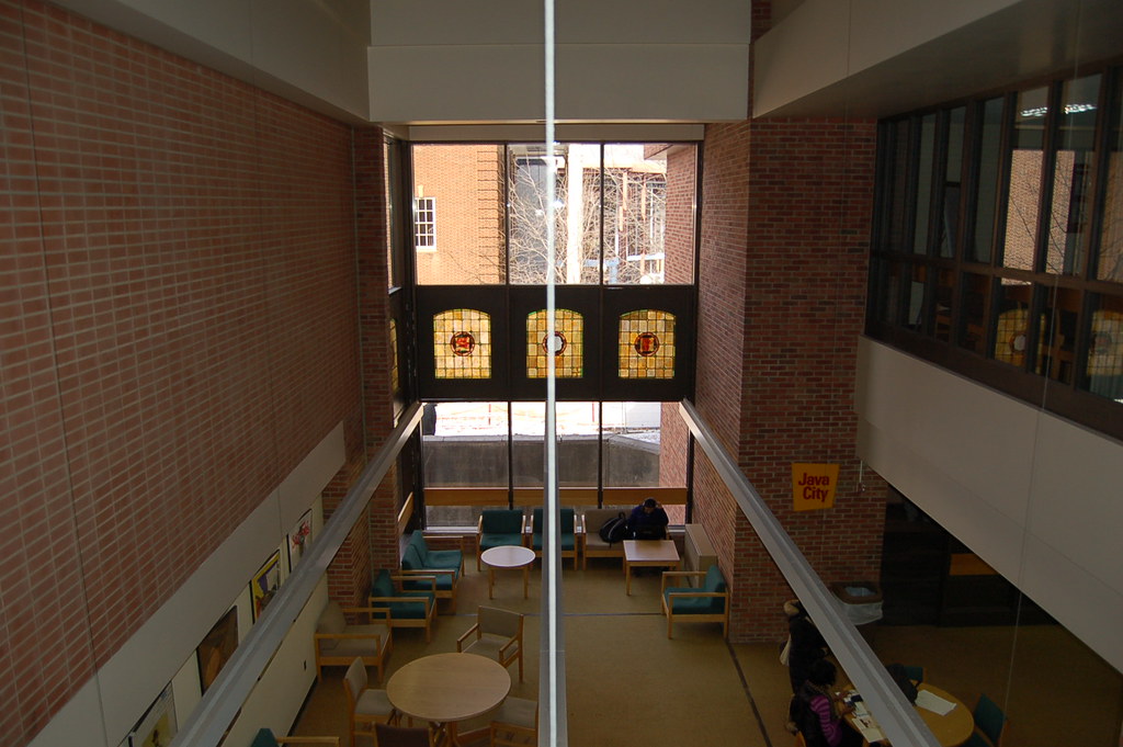
A view from above

American Tree Sparrow - Creekside Rd., Indiana Co, PA - Dec 26, 2015

Remedy for Snow

Field Sparrow - Creekside Rd., Indiana Co, PA - Dec 26, 2015
Creekside Baseball Fields, Indiana Co, PA - Dec 26, 2015

Red-tailed Hawk - T438, Indiana Co, PA - Dec 26, 2015

From the television's point of view.

Dam Nice
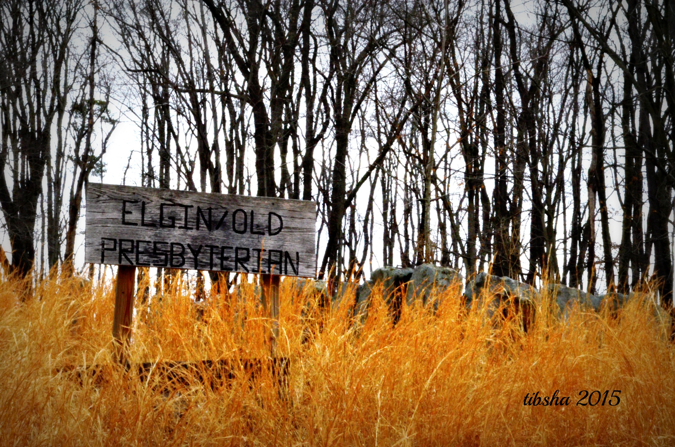
ElginOld Presbyterian
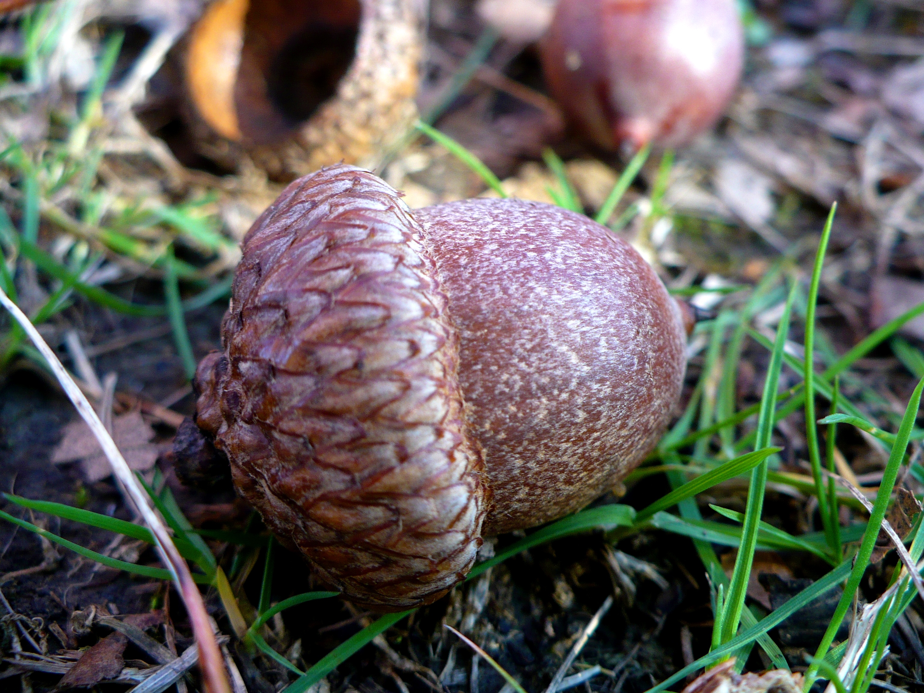
Squirrel Chow

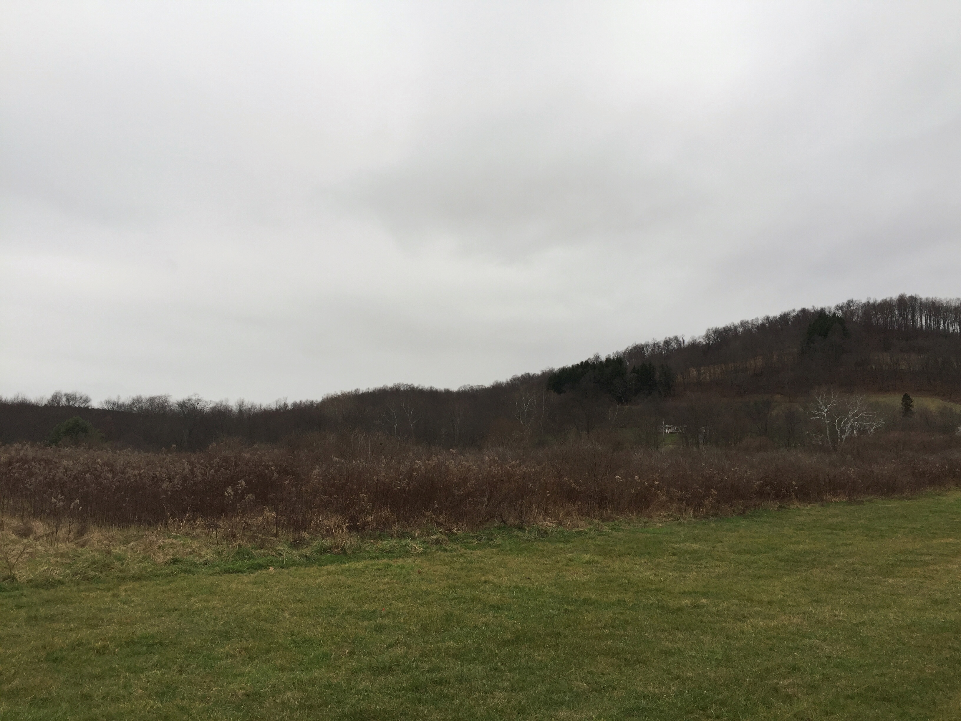
#adventure #tour2013 #Pennsylvania #afterlight #overgram #photooftheday #amaro #journey #travel #hills
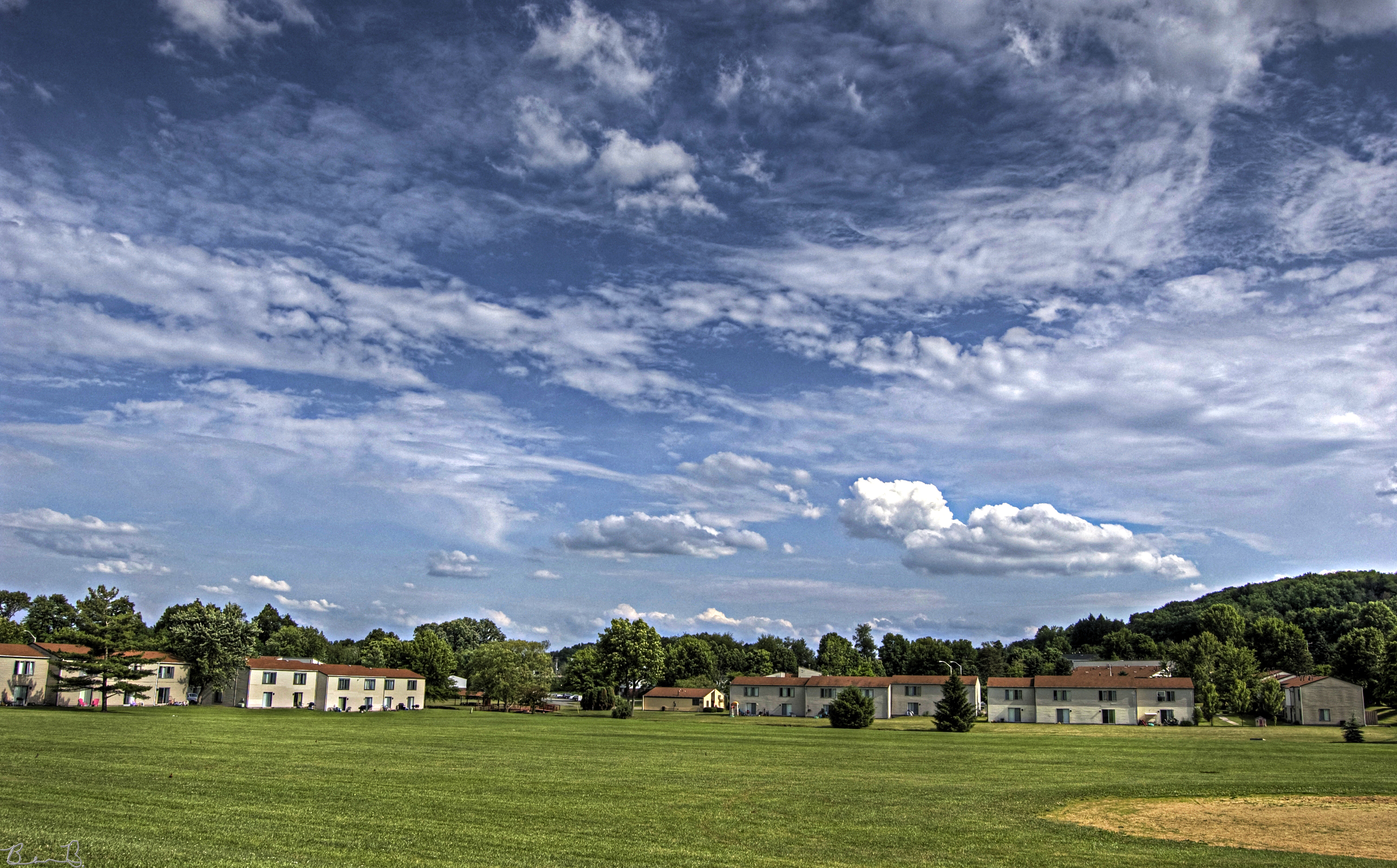
Ball Field HDR
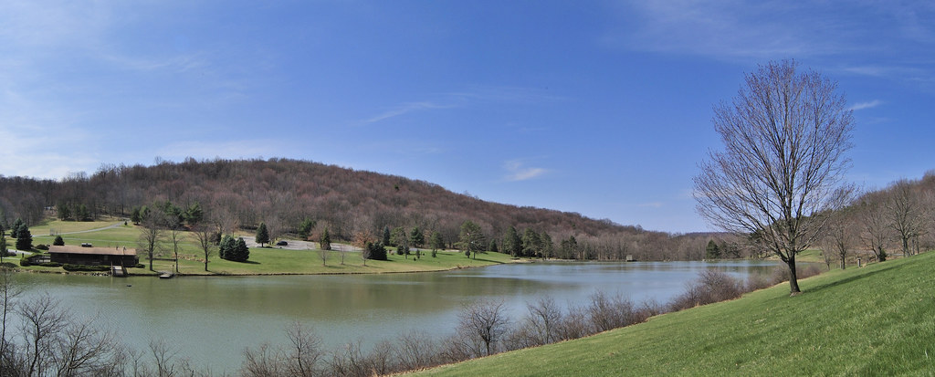
DSC_0792 Stitch Blue Spruce Park
Topographic Map of 5 Points Rd, Creekside, PA, USA
Find elevation by address:

Places near 5 Points Rd, Creekside, PA, USA:
Indiana, PA, USA
White Township
205 Skyline Dr
Armstrong Township
Indiana County
307 Forest Ridge Rd
236 Mchenry Rd
459 Forest Ridge Rd
Chevy Chase Heights
2550 Shelly Dr
1401 Poplar Ave
Indiana County Court Administration
Shelocta
215 N 4th St
215 N 4th St
Indiana
Church St, Indiana, PA, USA
333 S Walnut St
313 Keystone Dr
Plumcreek Township
Recent Searches:
- Elevation of Corso Fratelli Cairoli, 35, Macerata MC, Italy
- Elevation of Tallevast Rd, Sarasota, FL, USA
- Elevation of 4th St E, Sonoma, CA, USA
- Elevation of Black Hollow Rd, Pennsdale, PA, USA
- Elevation of Oakland Ave, Williamsport, PA, USA
- Elevation of Pedrógão Grande, Portugal
- Elevation of Klee Dr, Martinsburg, WV, USA
- Elevation of Via Roma, Pieranica CR, Italy
- Elevation of Tavkvetili Mountain, Georgia
- Elevation of Hartfords Bluff Cir, Mt Pleasant, SC, USA