Elevation of 5 La Landriais, Bain-de-Bretagne, France
Location: France > Brittany > Ille-et-vilaine > Bain-de-bretagne >
Longitude: -1.664248
Latitude: 47.7984752
Elevation: 88m / 289feet
Barometric Pressure: 100KPa
Elevation Map:
Satellite Map:
Related Photos:
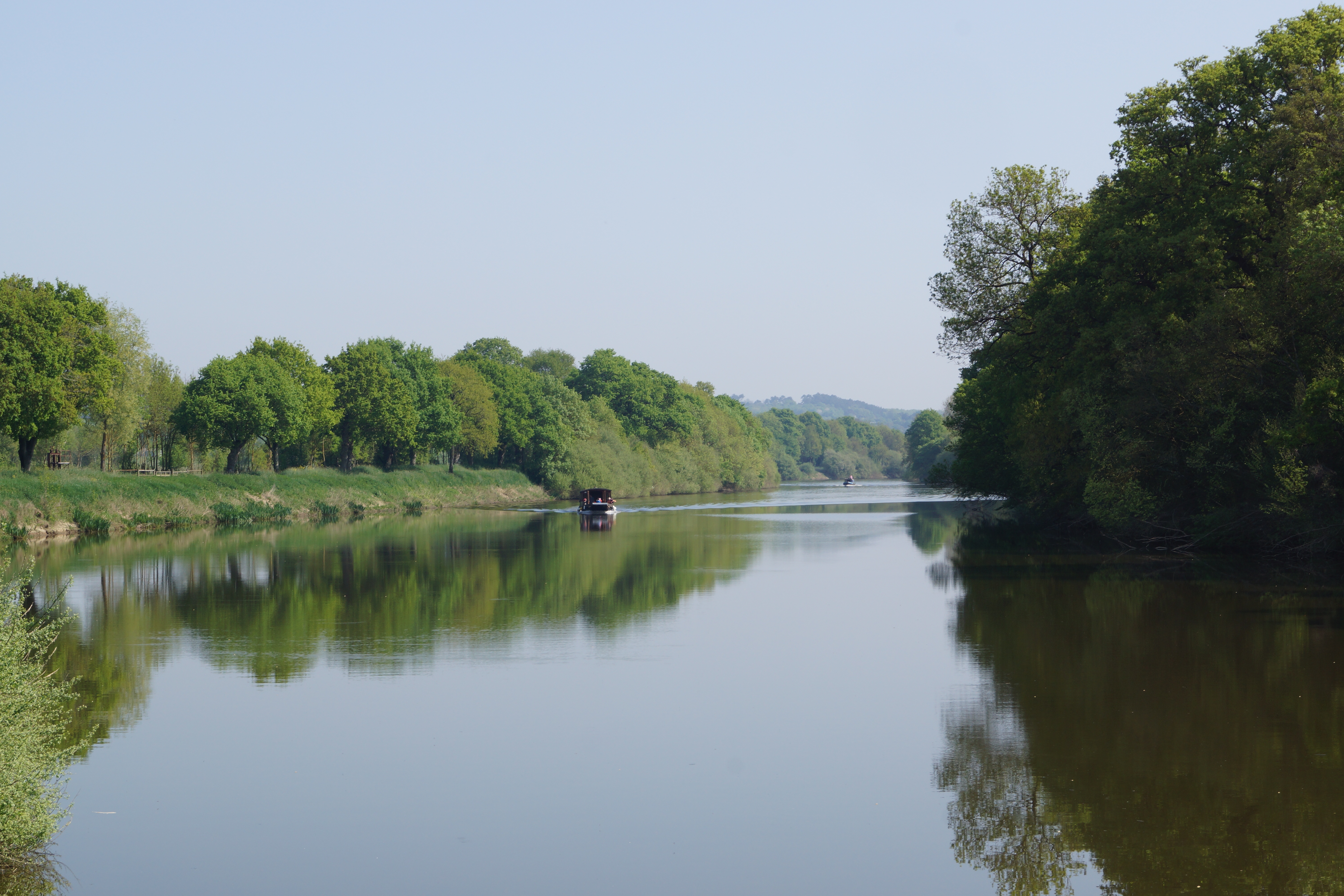
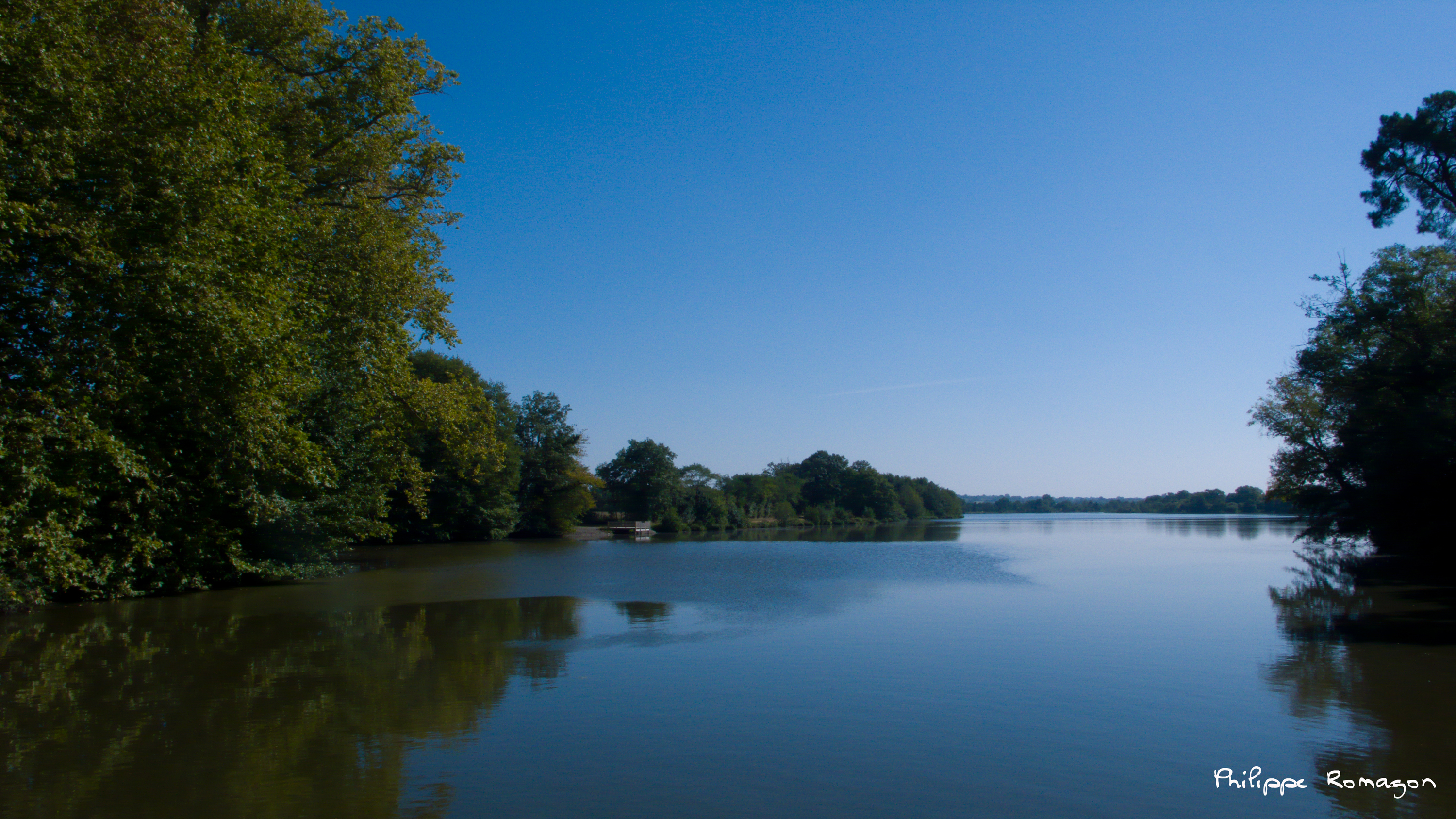
23-4-2015: Day 4, St Malo-de-Phily to Redon on the Vilaine
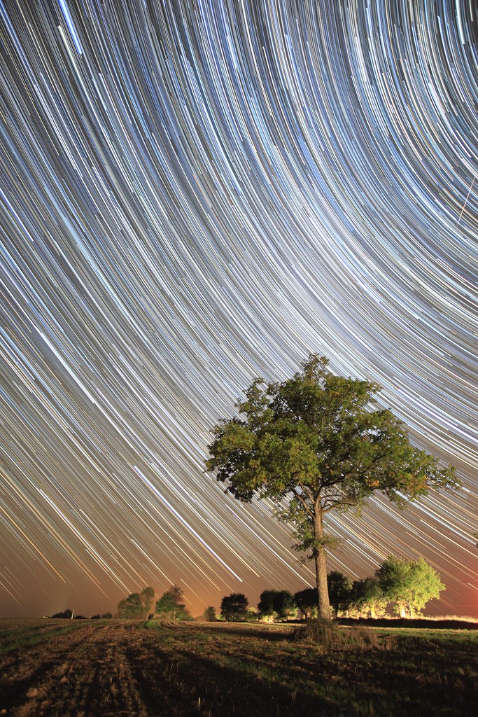
Stars trails
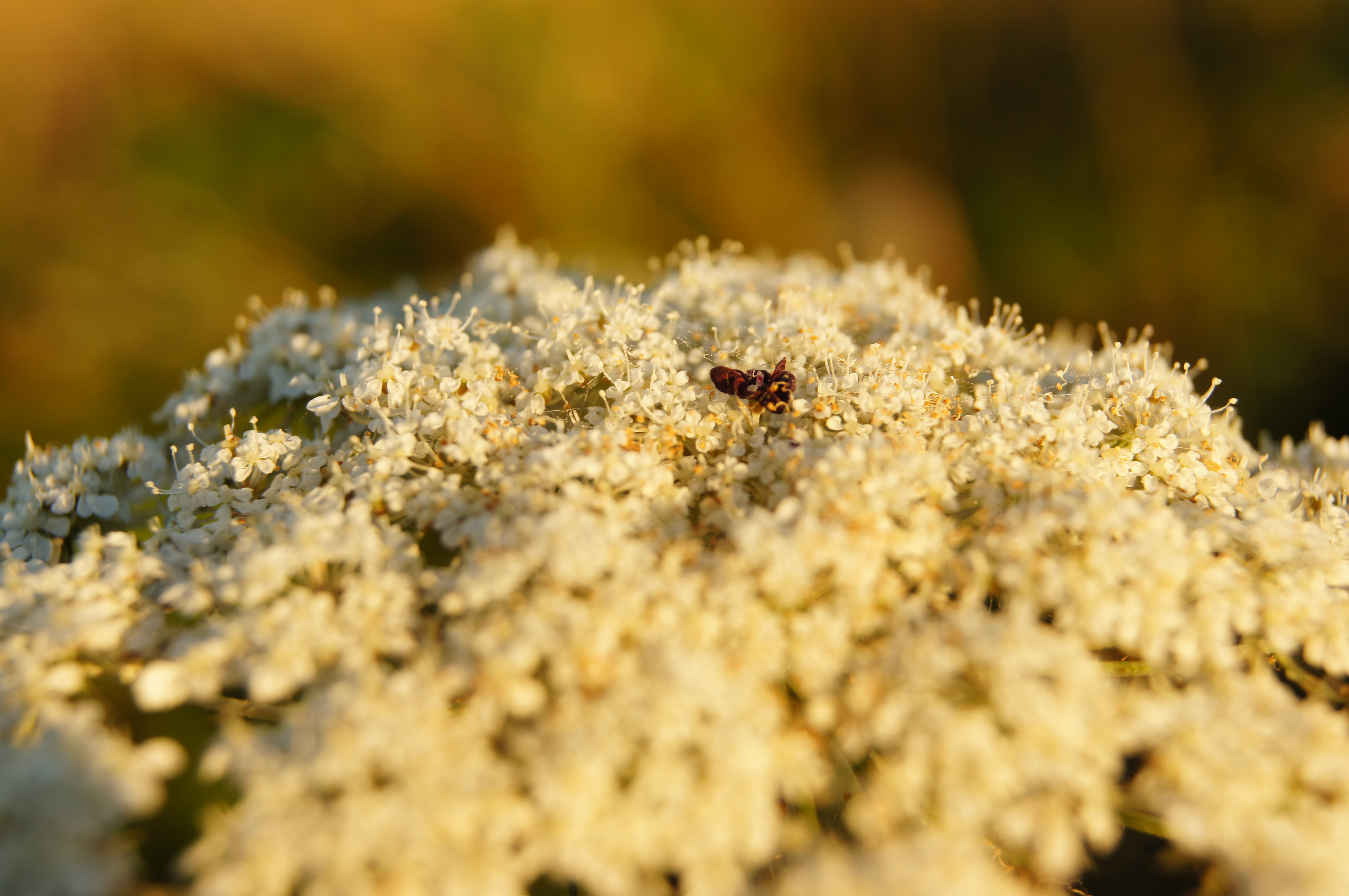
Tiny lonely.
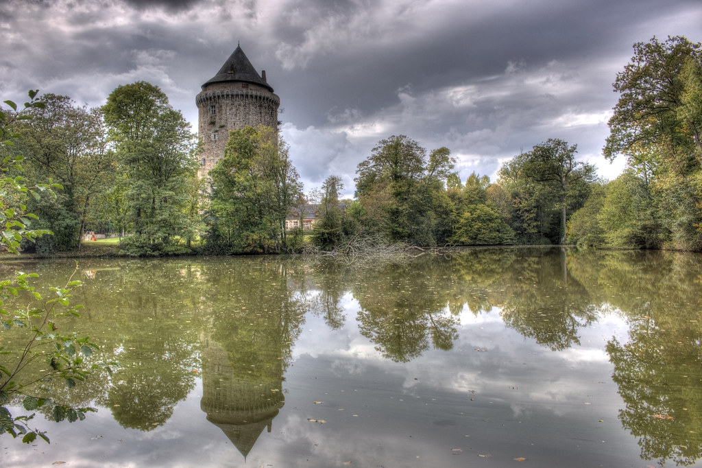
Tour Dugesclin
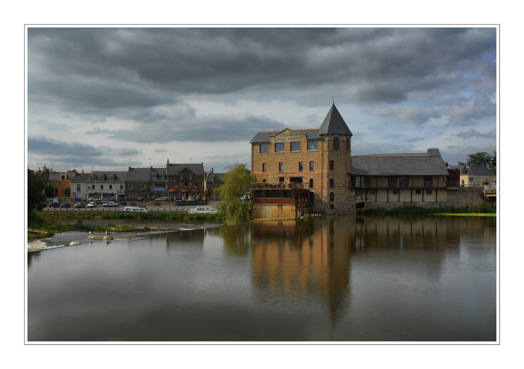
Moulin de Guipry

My first astrophotography session

Bosque en Le Bourg des Comptes
Mouais - c'est le nom de ce village

My first astrophotography session

Le Bourg des Comptes
Balade d'automne
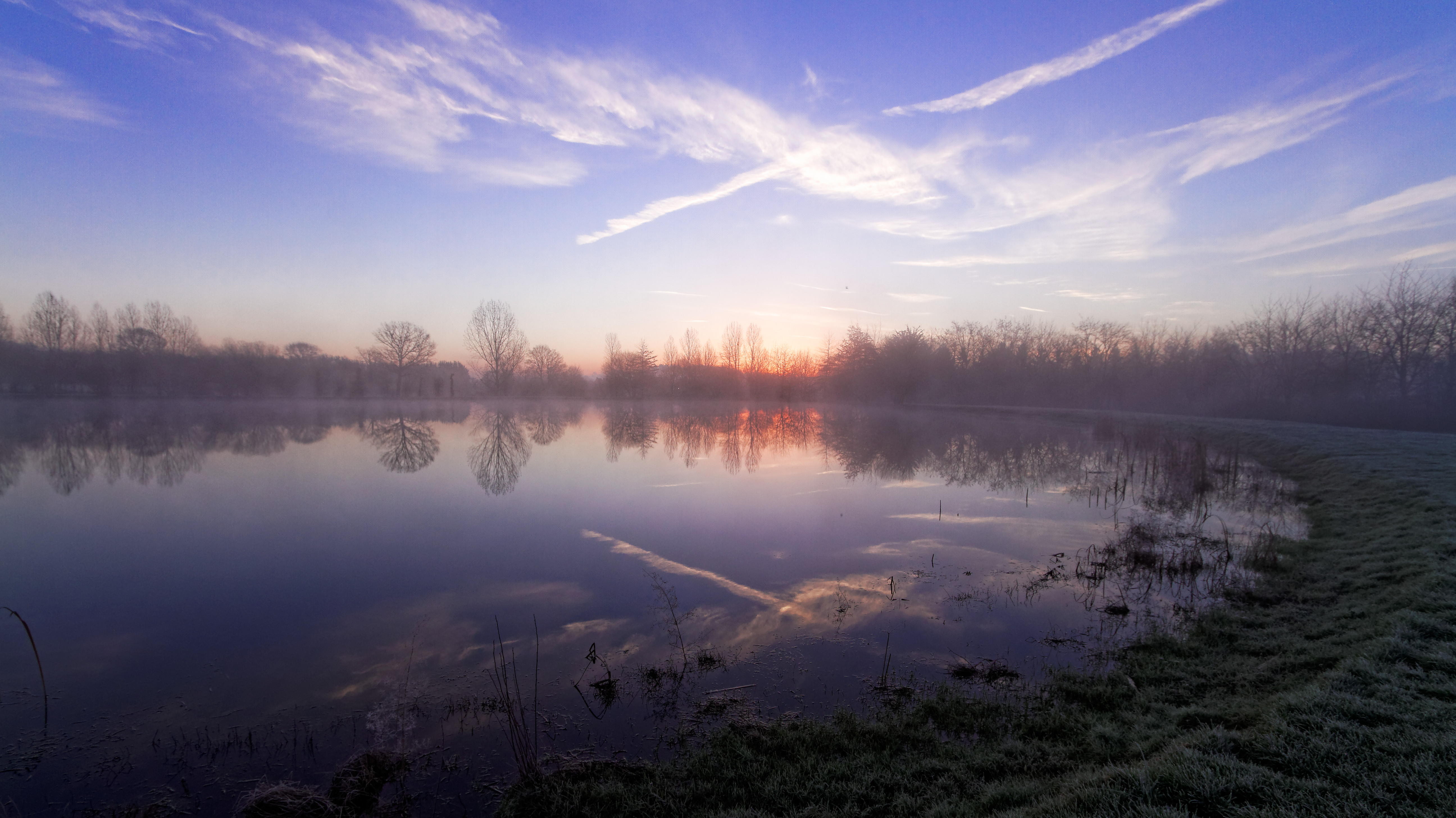
Étang de la Bosse de Bretagne à l'aurore

My first astrophotography session
Plus bleu que tes yeux (Aznavour - Piaf)

Le Jour ni l’Heure 8661 : La Place du mort — Ciel de Bretagne, autoroute, sud de Rennes, vendredi 30 août 2013, 18:51:22
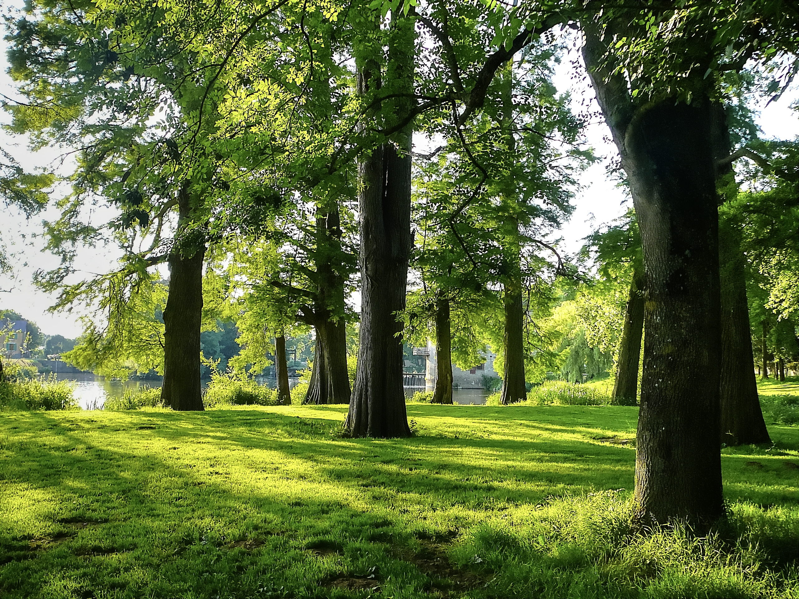
Bosque en Le Bourg des Comptes
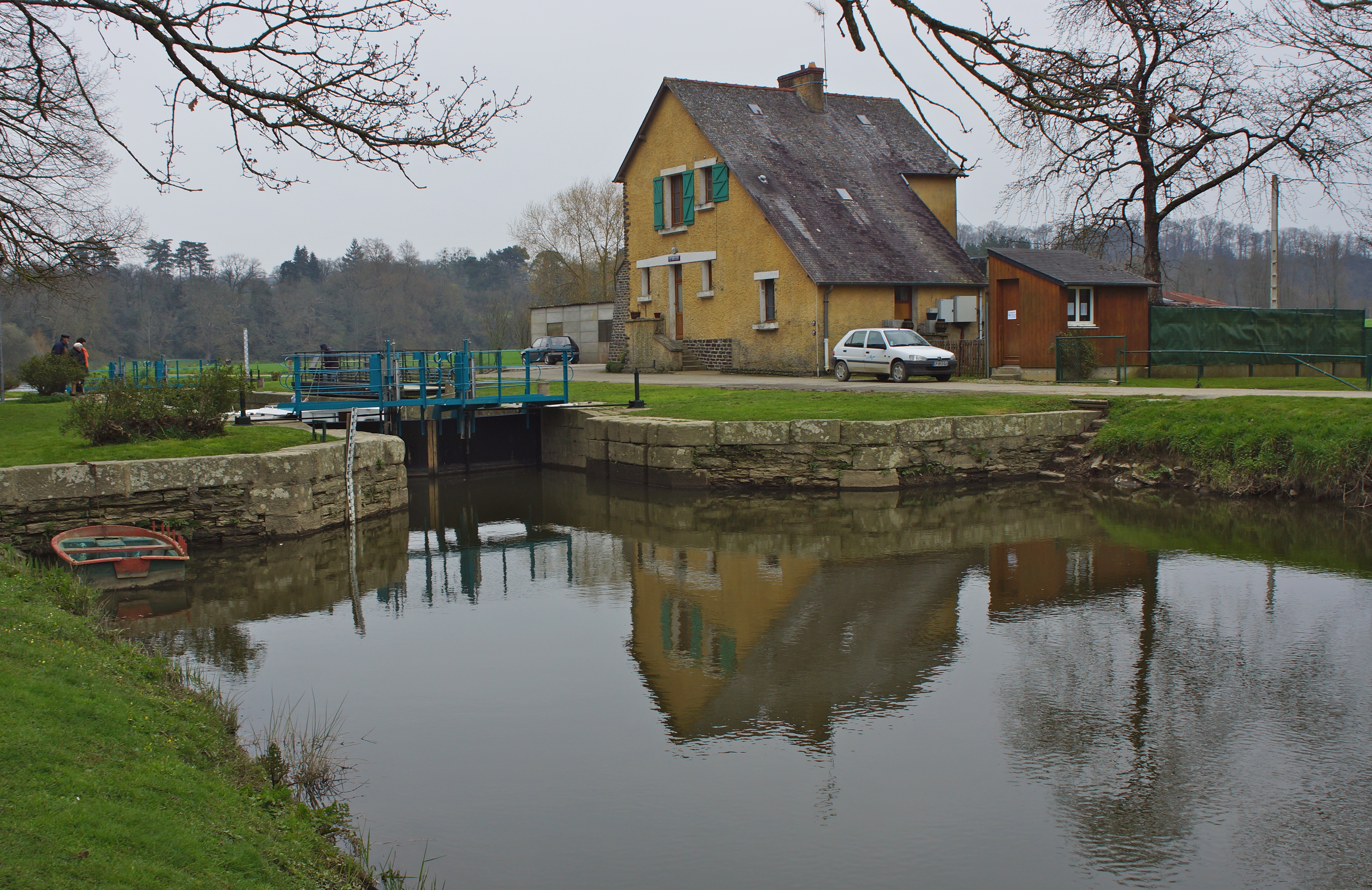
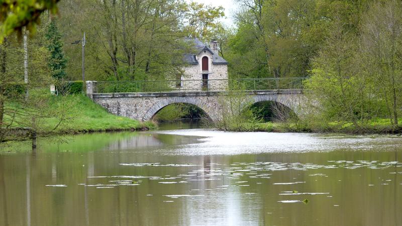
7-4-2013: On the Vilaine - lock 9 from the moorings, a Gai Lieu indeed

LA COUYERE - ILLE ET VILAINE - FRANCE
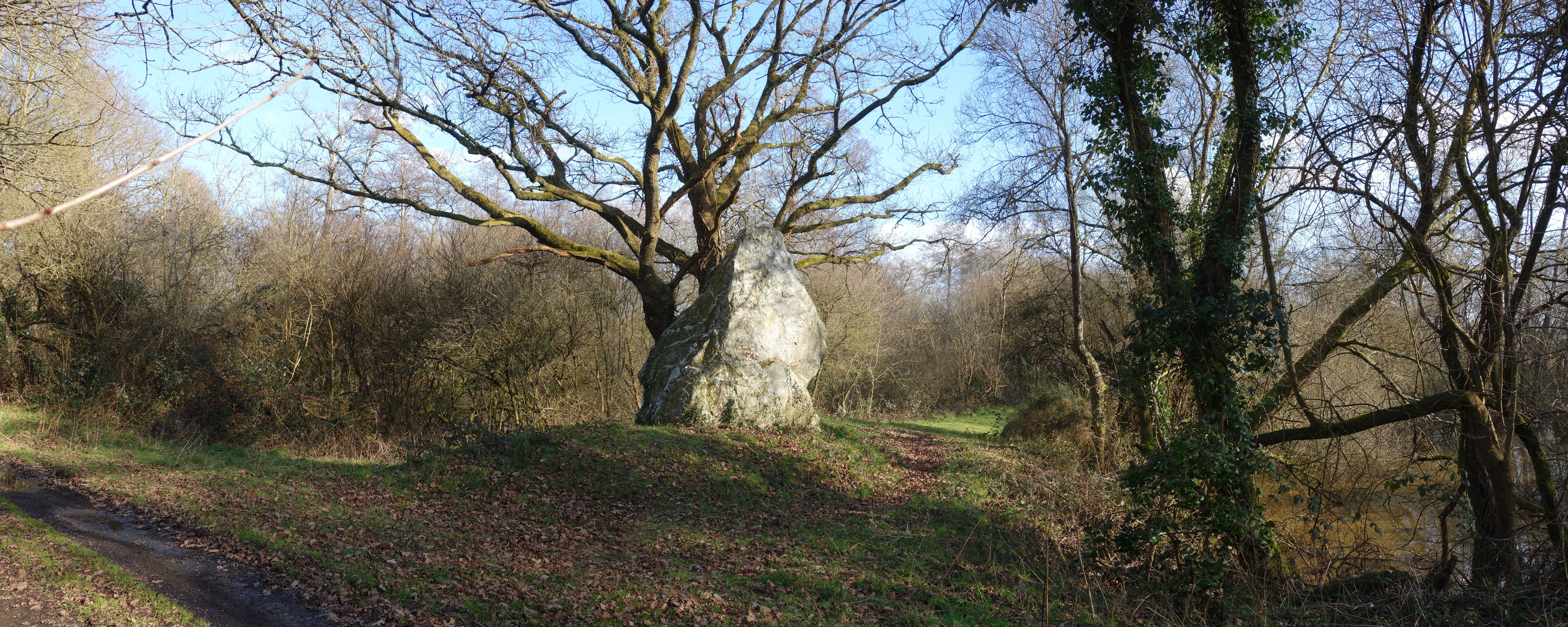
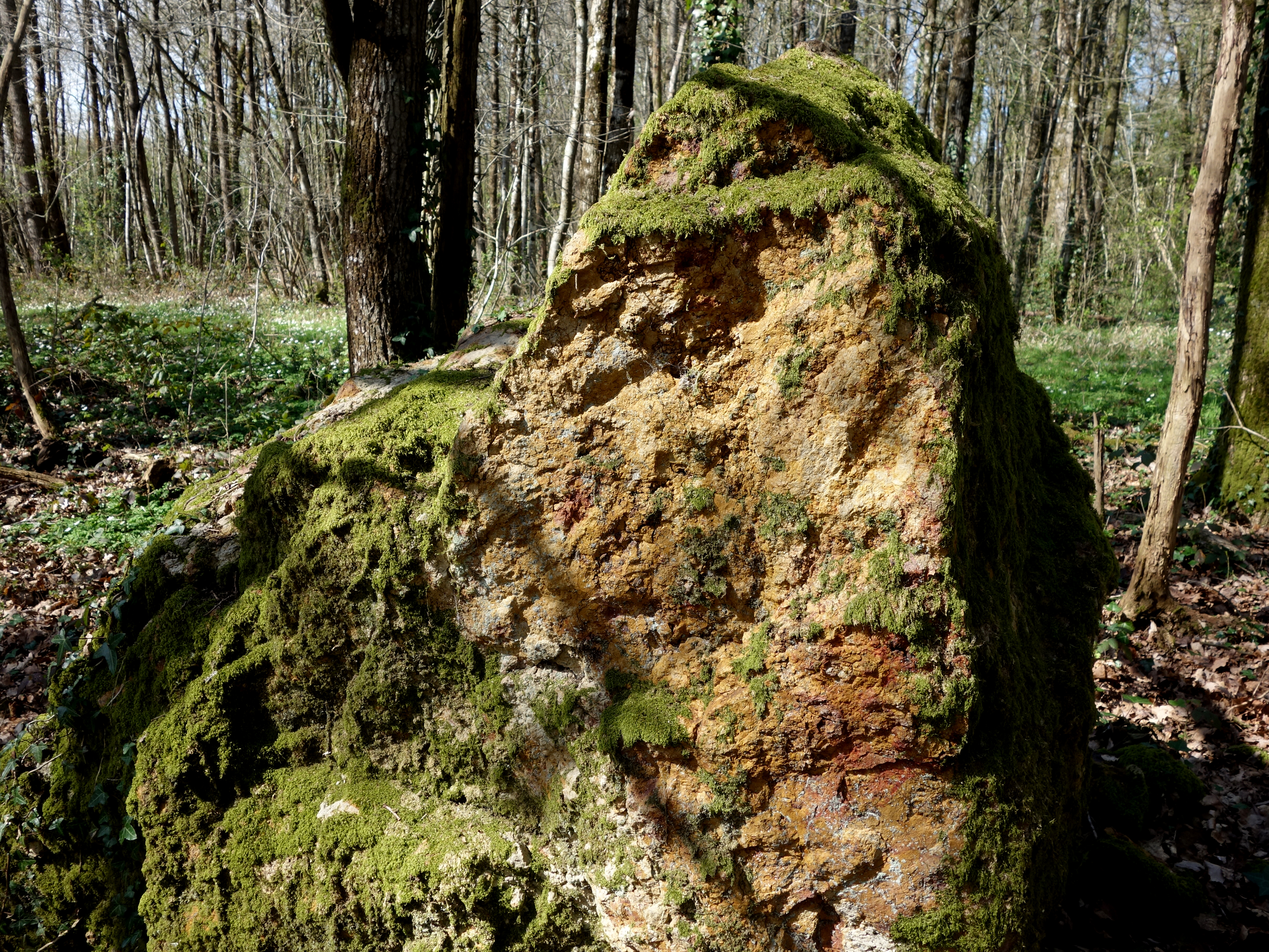
Le grand menhir des Grées - Ille-et-Vilaine - Février 2015 - 01
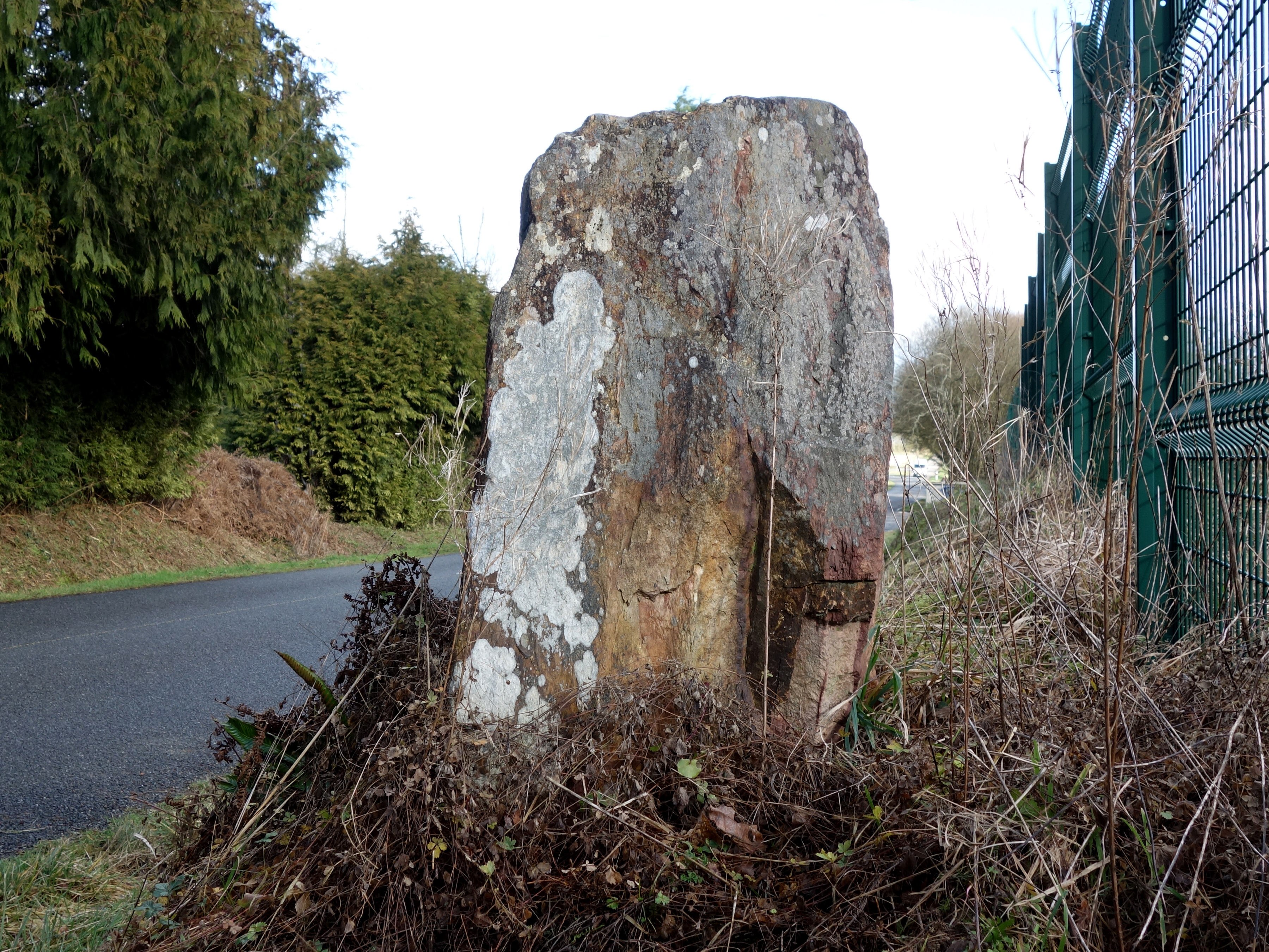
Le menhir de Pierre-Pin ou "La Pierre des Huguenots" à Sion-les-Mines - Loire-Atlantique - Avril 2015 - 05

Le menhir de Pierre-Pin ou "La Pierre des Huguenots" à Sion-les-Mines - Loire-Atlantique - Avril 2015 - 02
"Le Menhir" - Crévin - Ille-et-Vilaine - Février 2015 - 03
Topographic Map of 5 La Landriais, Bain-de-Bretagne, France
Find elevation by address:

Places near 5 La Landriais, Bain-de-Bretagne, France:
La Garenne, Sion-les-Mines, France
Sion-les-mines
29 La Mintais, Messac, France
Derval
74 Port de Roche, Langon, France
Langon
Abbaretz
2 Rue des Écoles, Abbaretz, France
Blain
33 Route d'Armorique, Blain, France
8 Allée du Cerisier, La Meilleraye-de-Bretagne, France
2 La Mulonnière, Joué-sur-Erdre, France
La Bricaudière, Nort-sur-Erdre, France
Joué-sur-erdre
17 Saint-Marcellin, Bains-sur-Oust, France
Nort-sur-erdre
Bains-sur-oust
18 Route de Nantes, Saint-Nicolas-de-Redon, France
3 La Maison Neuve, Fégréac, France
Saint-nicolas-de-redon
Recent Searches:
- Elevation of Corso Fratelli Cairoli, 35, Macerata MC, Italy
- Elevation of Tallevast Rd, Sarasota, FL, USA
- Elevation of 4th St E, Sonoma, CA, USA
- Elevation of Black Hollow Rd, Pennsdale, PA, USA
- Elevation of Oakland Ave, Williamsport, PA, USA
- Elevation of Pedrógão Grande, Portugal
- Elevation of Klee Dr, Martinsburg, WV, USA
- Elevation of Via Roma, Pieranica CR, Italy
- Elevation of Tavkvetili Mountain, Georgia
- Elevation of Hartfords Bluff Cir, Mt Pleasant, SC, USA