Elevation of 5, Bay Hundred, MD, USA
Location: United States > Maryland > Talbot County >
Longitude: -76.298917
Latitude: 38.7662674
Elevation: 0m / 0feet
Barometric Pressure: 101KPa
Elevation Map:
Satellite Map:
Related Photos:

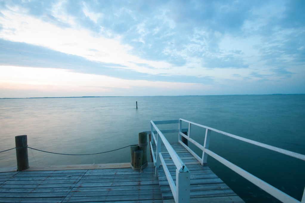
Waiting for Summer

Hoopers Strait Lighthouse, Another Place - Another Time

magic hour

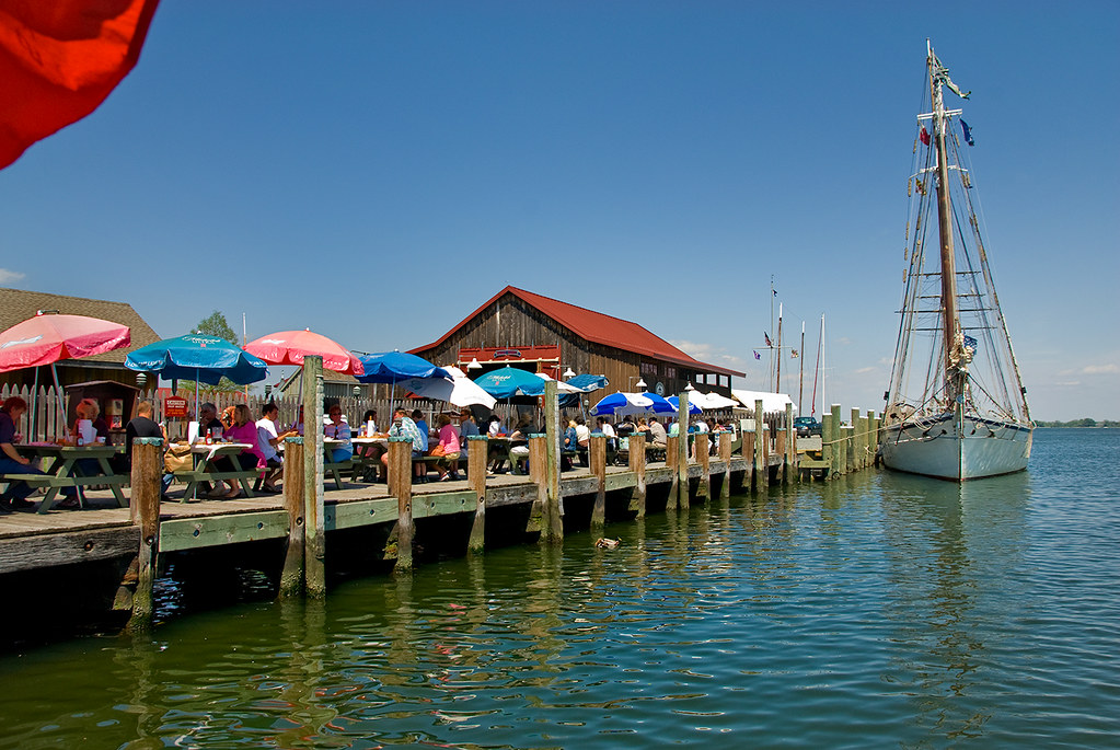
The Crab Claw Restaurant

The Lady Bugs Say It's Spring!

the view.
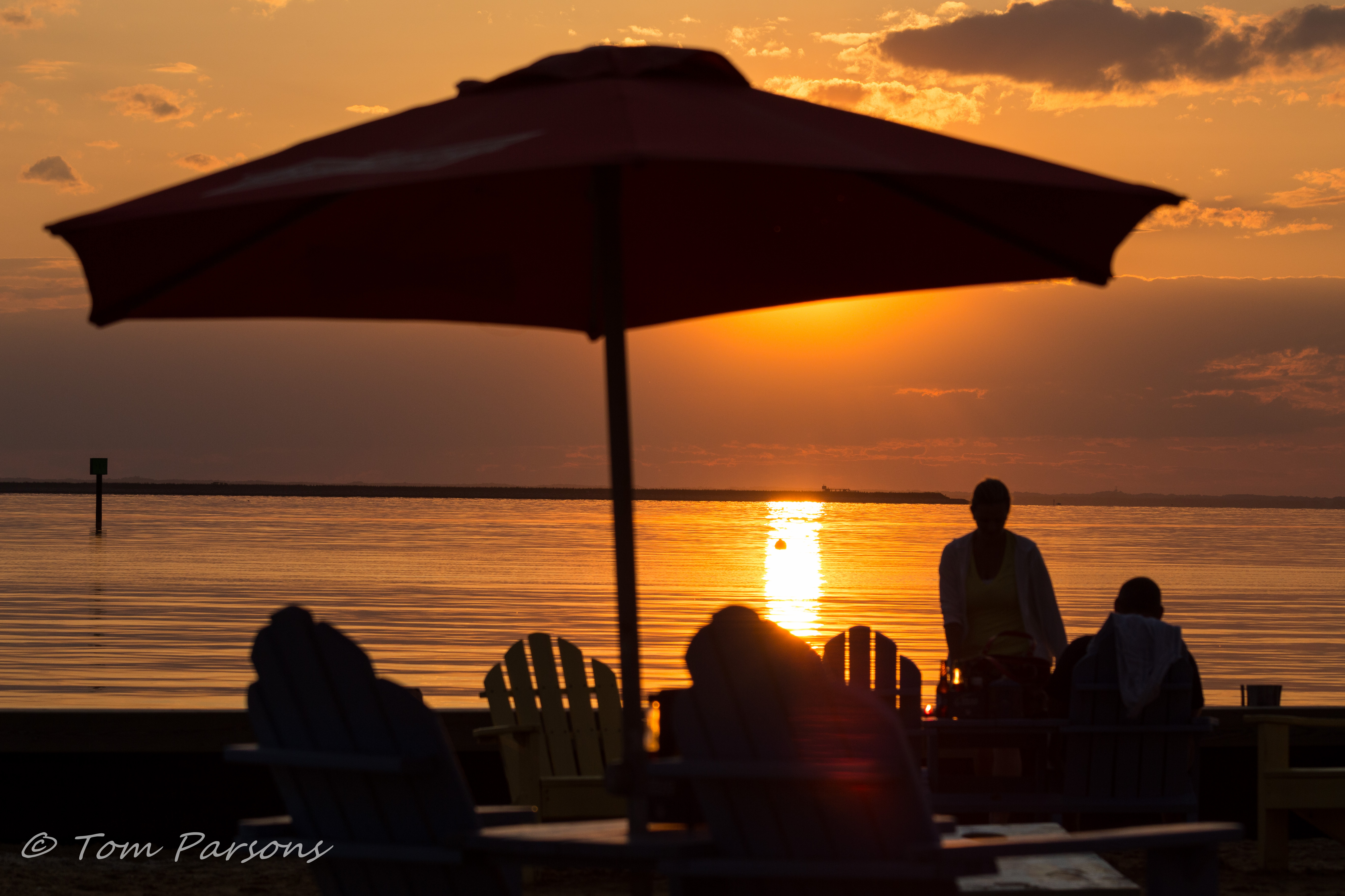
Lowes Wharf Sunset

End of the day - Lowes Wharf Maryland

Knapps Narrows Sunset

Gingerbread House Contest, St. Michael's, Maryland
View From Crab Claw Restaurant - St. Michaels
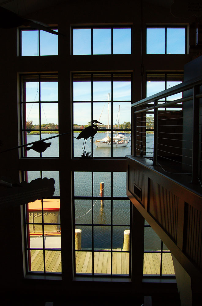
This Isn't Your Average Museum
Tilghman Island Postcard I

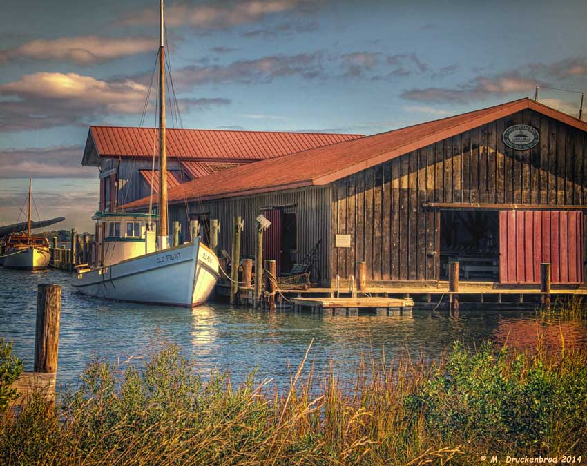
Maryland, St. Michael, Hooper Strait Lighthouse (Relocated) (2,014-2)

Oxford, MD

Crabbing Diorama

I don't think that I have ever seen a wild rabbit do this

Poplar Island in Talbot County, Md.
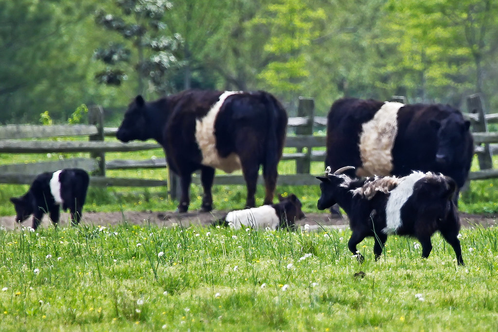
Agent Billy's Bleating Was Raising Suspicions
Through A Glass Brightly

the big blue sea

Sunrise From Tilghman Island
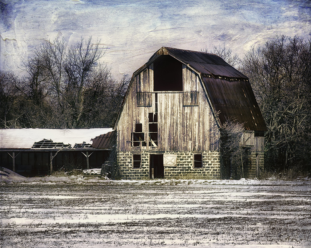
Old Cold and Broken

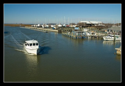
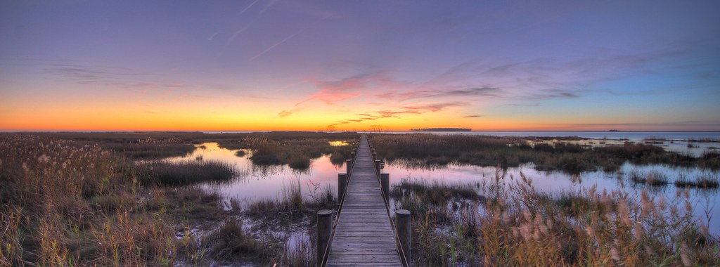
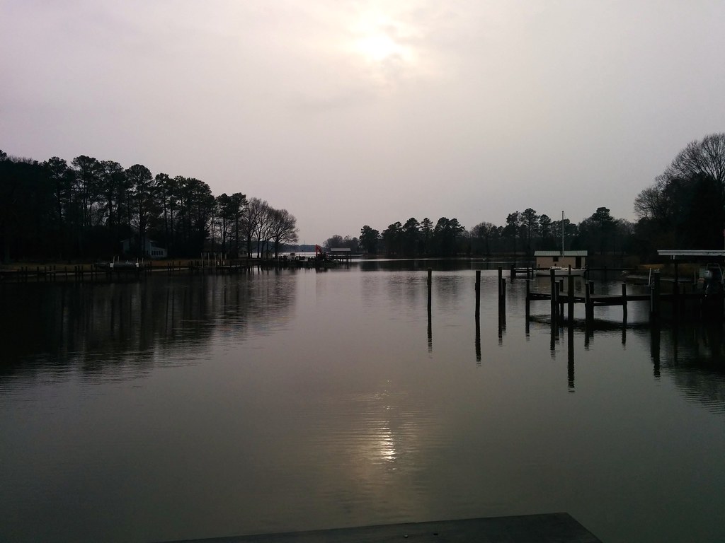
Marina at Dawn
Goat Island River Lodge

A beautiful Sunday for cloud spotting!

Cold Chesapeake Morning
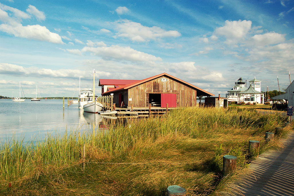
Chesapeake Bay Maritime Museum
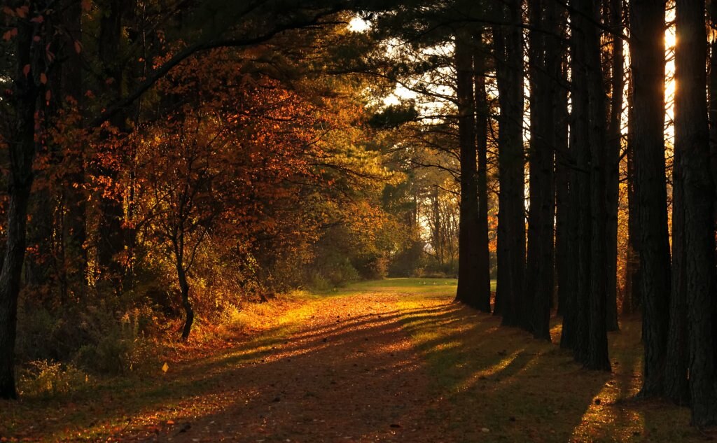
November Shadows

The Oxford-Bellevue Ferry at Sunset

Warm Summer Day

Dogwood Harbor, Tilghman Island Maryland
Tunis Mills
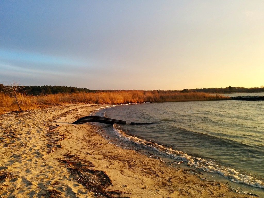
Claiborne Beach

SHARP GRASS AND LOW CLOUDS

Eastern Shore Sunset
b&b 2

Norther harrier flying above restored marsh on Poplar Island
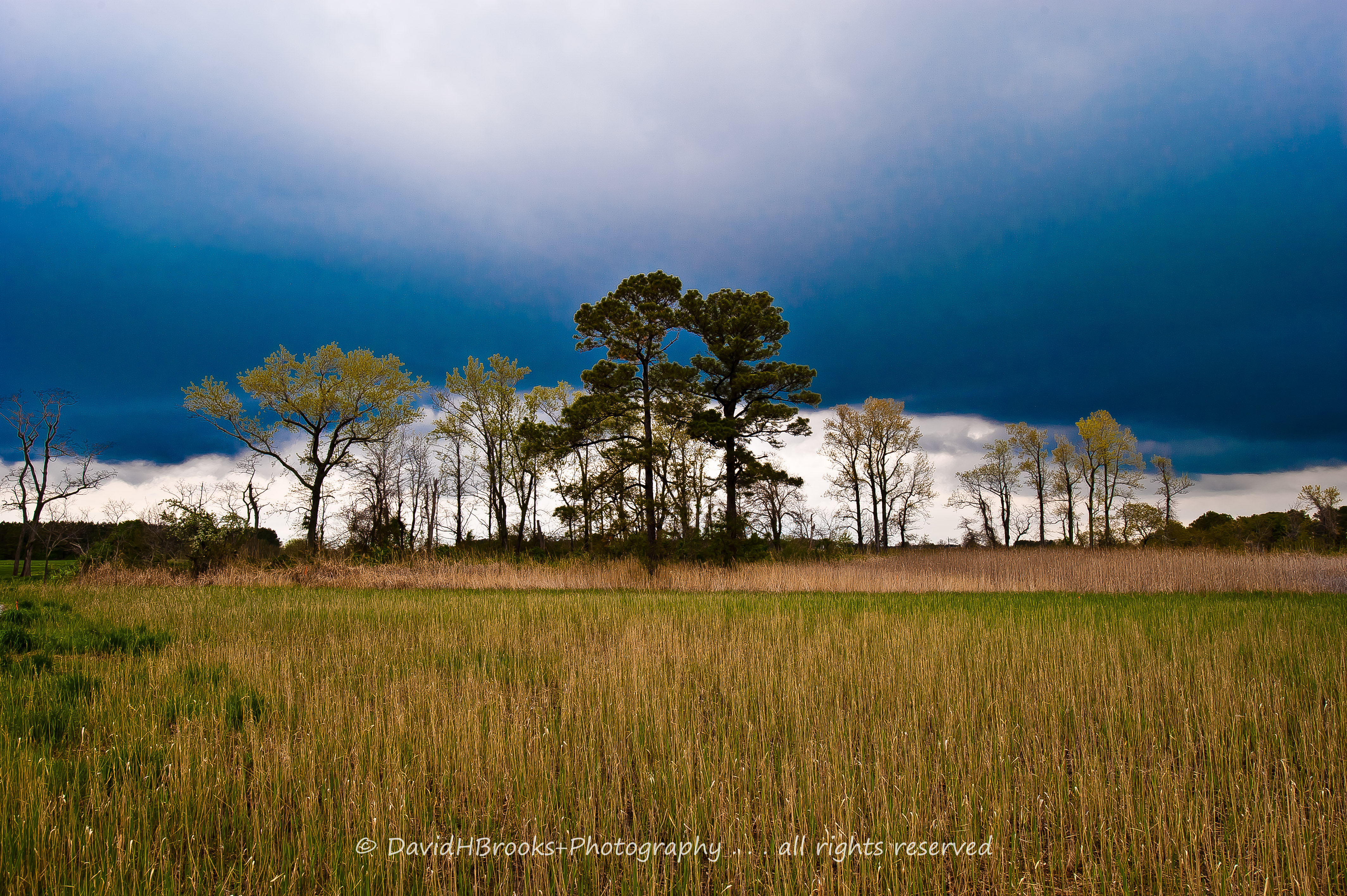
SHARP GRASS AND LOW CLOUDS

Switch grass growing along dyke surrounding restored wetland cell on Poplar Island

Bay grasses near Poplar Island
Topographic Map of 5, Bay Hundred, MD, USA
Find elevation by address:

Places in 5, Bay Hundred, MD, USA:
Places near 5, Bay Hundred, MD, USA:
Sherwood Landing Rd, Sherwood, MD, USA
Sherwood
7090 Bozman Neavitt Rd
22710 Emilys Ln
22610 Anna May Dr
Wittman
22582 Pot Pie Rd
22582 Pot Pie Rd
21805 Langdon Farm Rd
7630 Ferry Cove Rd
7535 Cabin Cove Rd
6558 Bozman Neavitt Rd
9199 New Rd
7550 Cabin Cove Rd
9401 New Rd
21456 Donnell Jones Rd
Goat Island
21642 Chicken Point Rd
Tilghman
21396 Sinclair Rd
Recent Searches:
- Elevation of Corso Fratelli Cairoli, 35, Macerata MC, Italy
- Elevation of Tallevast Rd, Sarasota, FL, USA
- Elevation of 4th St E, Sonoma, CA, USA
- Elevation of Black Hollow Rd, Pennsdale, PA, USA
- Elevation of Oakland Ave, Williamsport, PA, USA
- Elevation of Pedrógão Grande, Portugal
- Elevation of Klee Dr, Martinsburg, WV, USA
- Elevation of Via Roma, Pieranica CR, Italy
- Elevation of Tavkvetili Mountain, Georgia
- Elevation of Hartfords Bluff Cir, Mt Pleasant, SC, USA