Elevation of 57 Airport Rd, Thomasville, GA, USA

Location: United States > Georgia > Thomas County > Thomasville >

Longitude: -83.892118

Latitude: 30.899069

Elevation: 81m / 266feet

Barometric Pressure: 100KPa

Elevation Map:

elevation map of 57 Airport Rd, Thomasville, GA, USA

Satellite Map:

Satellite map of 57 Airport Rd, Thomasville, GA, USA

Related Photos:

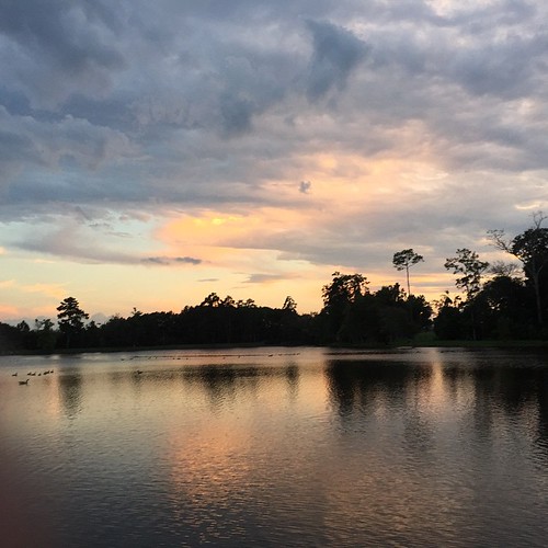
square squareformat iphoneography instagramapp uploaded:by=instagram foursquare:venue=4c2e7d3416adc928ef00bc9c
Another amazing view walking around our neighbourhood park, #LakeCherokee #Thomasville #GA #sunset #Lake #exercise #getfit
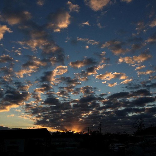
square squareformat iphoneography instagramapp uploaded:by=instagram foursquare:venue=4db4b4aa4b226b343d92f631
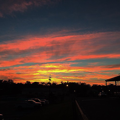
Pulled into work yesterday and was greeted by this view. #sunrise #clouds #wx #iPhone
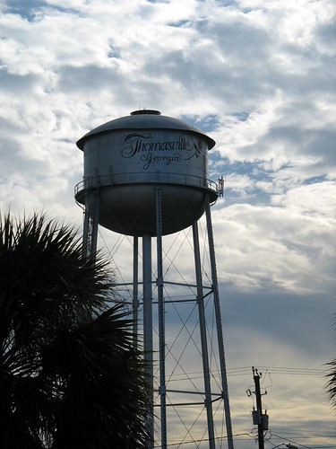
clouds georgia geotagged watertower thomasville geo:lat=308329 geo:lon=83980525
Thomasville Water Tower
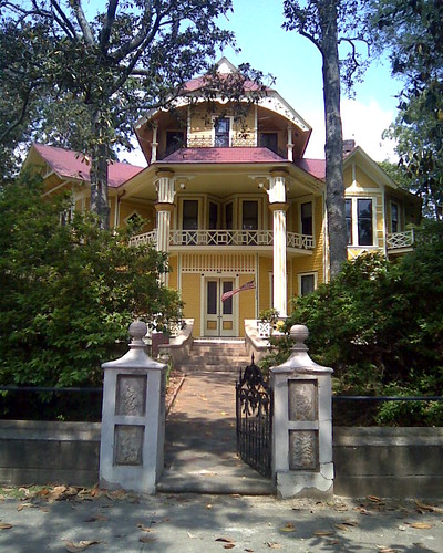
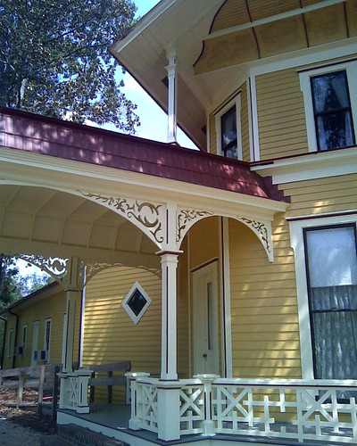
Lapham-Patterson House Street View
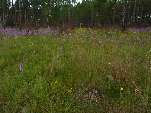
toothachegrass
Wonderful view
Lapham-Patterson House Side View
ga cotton ag brooksco stevesumner
View of South Field of Cotton From Ridge
square squareformat iphoneography instagramapp uploaded:by=instagram
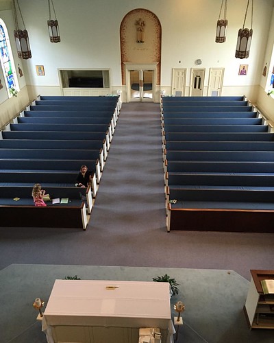
Good view looking out. #changinglights at #church #ladder 25 feet up.
square squareformat iphoneography instagramapp uploaded:by=instagram
The view looking down. #changinglights at #church almost #verticalladder 25 feet in the air. #scared #excited #adrenaline might have #peedmyselfalittle
georgia thomascounty caryaillinoinensis posrus ©lancetaylor
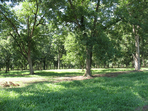
Pecan Grove 3 Thomasville GA
georgia thomascounty caryaillinoinensis posrus ©lancetaylor
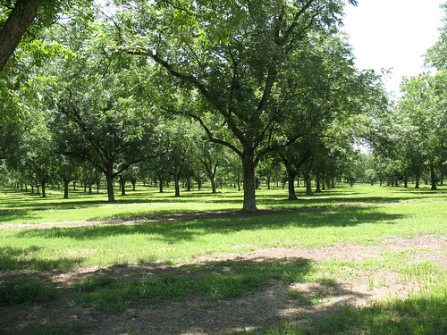
Pecan Grove 3 Boston GA
georgia thomascounty caryaillinoinensis posrus ©lancetaylor
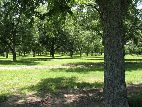
Pecan Grove 4 Boston GA
georgia unitedstates ochlocknee stateroute188 norththomascounty stateroute188ochlockneegeorgiaunitedstates
IMG_4778.jpg
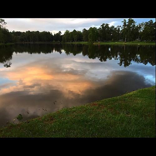
square squareformat iphoneography instagramapp uploaded:by=instagram foursquare:venue=4c2e7d3416adc928ef00bc9c
Loving the #clouds reflecting on #Lake #Cherokee #Thomasville #GA #iPhone
camping light fog march unitedstates foggy thomasville lightrays 2014 importedkeywordtags thephotographyblog kylepmillerphotography kylepmiler philspond
Thomasville sunrise
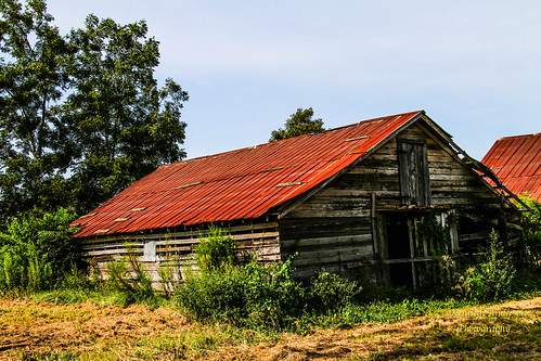
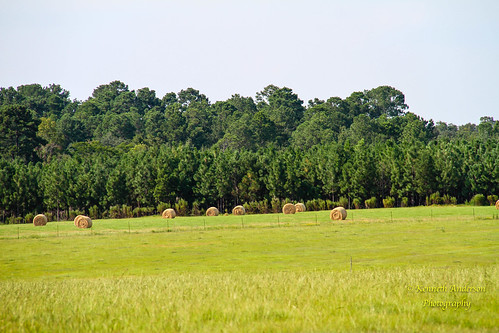
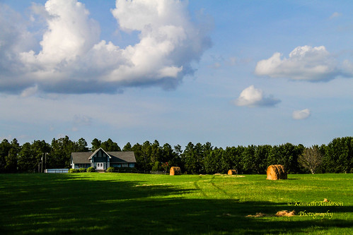
georgia landscape unitedstates barns patten stateroute122
IMG_4710.jpg
Thomas County-3.jpg
georgia landscape unitedstates barns patten stateroute122
IMG_4711.jpg
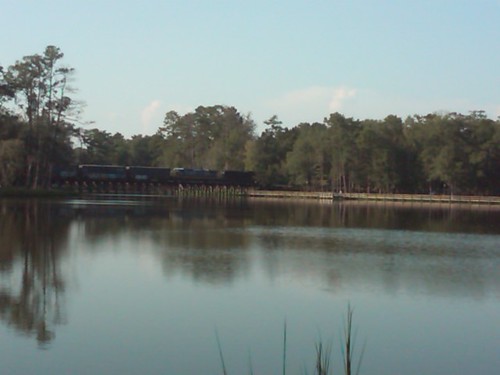
Train over Lake Cherokee
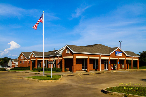
georgia landscape unitedstates thomasville 15libertystreet 15libertystreetthomasvillegeorgiaunitedstates
IMG_4757.jpg
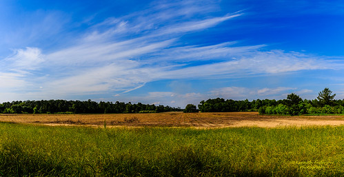
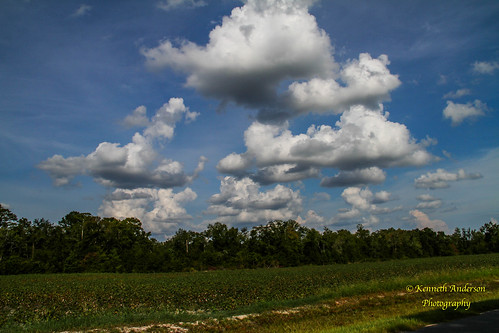
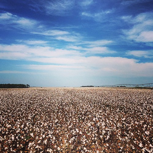
clouds georgia landscape unitedstates country cotton patten fiveforksrd
Cotton Fields2.jpg
georgia unitedstates ochlocknee stateroute188 norththomascounty stateroute188ochlockneegeorgiaunitedstates
IMG_4777.jpg
clouds georgia landscape unitedstates patten fiveforksrd fiveforksrdpattengeorgiaunitedstates
IMG_4753.jpg
square squareformat iphoneography instagramapp uploaded:by=instagram
#Sunrise over #Thomasville #ga #mornings #iPhone #wtxlsunrise
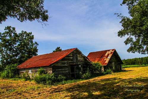
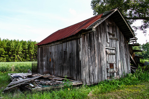
georgia landscape unitedstates barns patten stateroute122
IMG_4719.jpg
square squareformat mayfair iphoneography instagramapp uploaded:by=instagram
The office for today. #SouthGAShoot
square squareformat iphoneography instagramapp uploaded:by=instagram foursquare:venue=4c2e7d3416adc928ef00bc9c
Thomasville's Lake Cherokee in a light fog. #thomasville #georgia #swga #georgia #exploregeorgia #fog #lake #cherokee #nikon #d5300
usa georgia events places thomasville tornado metcalfroad
20090219-IMG_1292