Elevation of 56 Le Bourg, Reignac, France
Location: France > Aquitaine Limousin Poitou-charentes > Charente > Reignac >
Longitude: -0.1798917
Latitude: 45.4195614
Elevation: 99m / 325feet
Barometric Pressure: 100KPa
Elevation Map:
Satellite Map:
Related Photos:
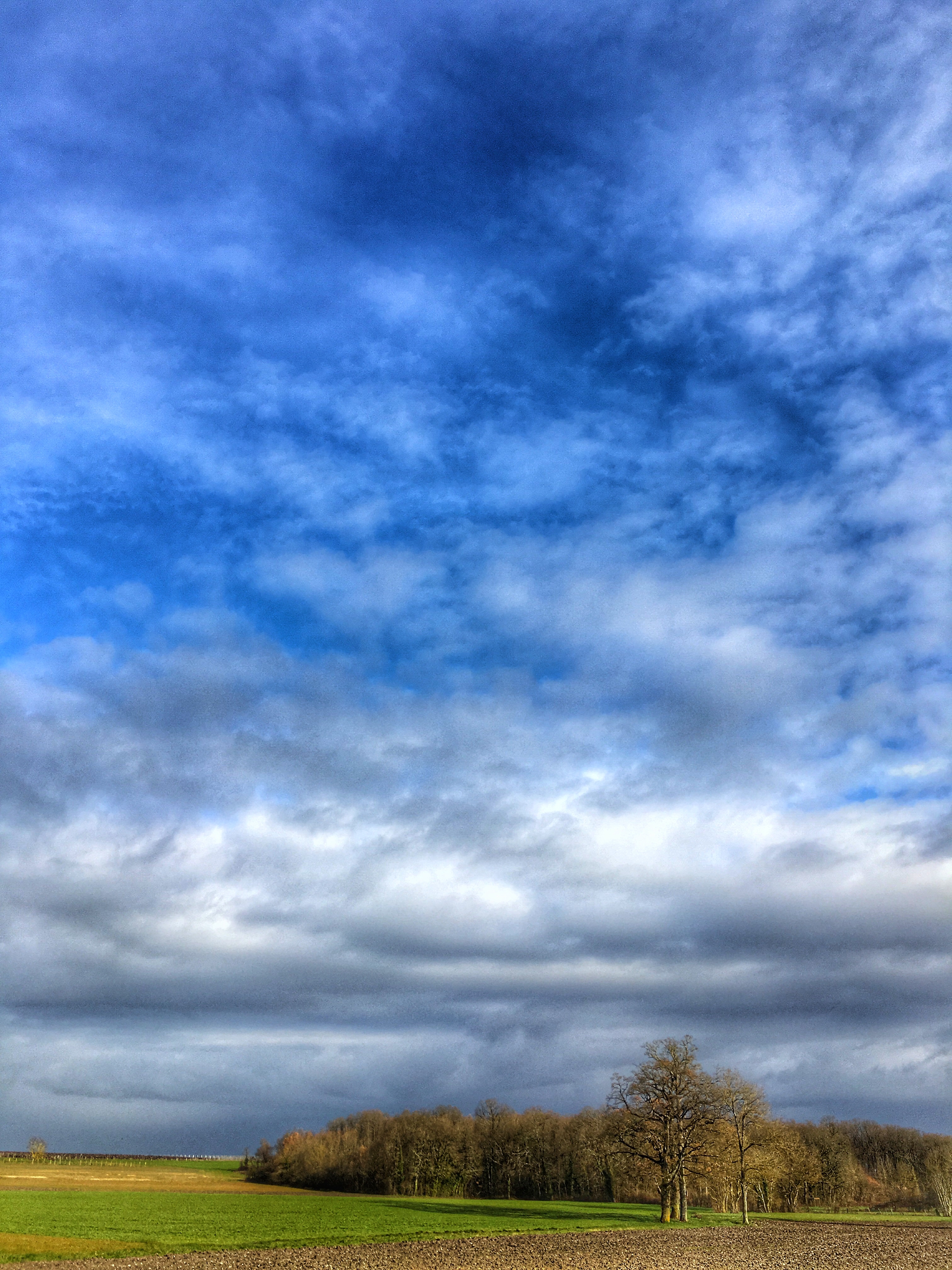
Special effects
Touvérac - Charente
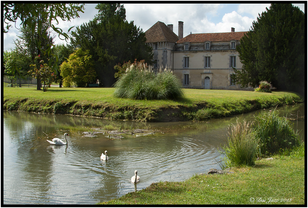
View from gite
ST HILAIRE DE BARBEZIEUX
Touvérac (16)
La campagne

Coucher de soleil

Cognac Vineyard

Sunset in The Wood ● IMG_7637_1

Moulin au loin
Marie Lignieres-Sonneville

Blodyn haul

Road to La Chaise

la maury
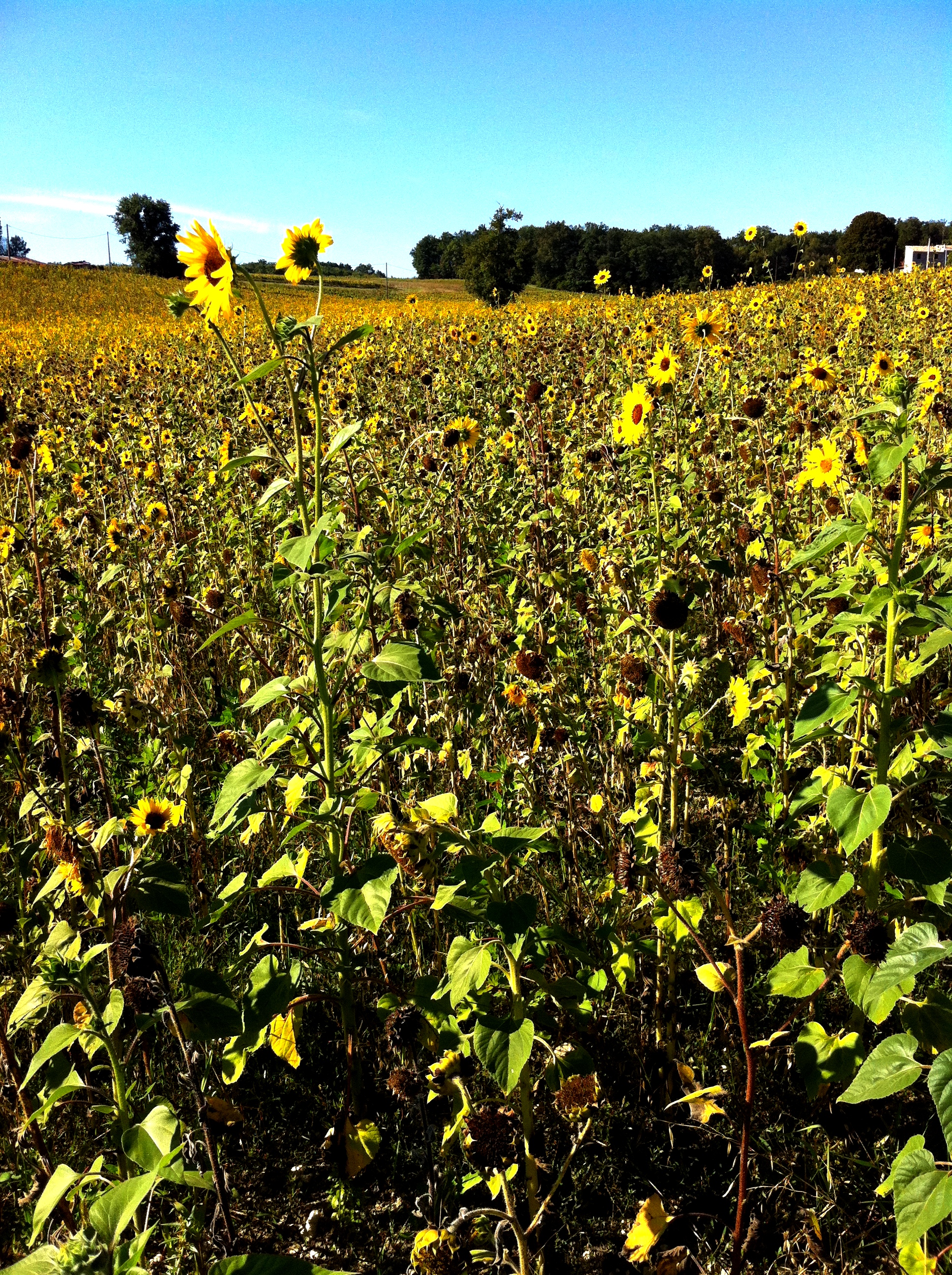
Field of sun
The grapes of Chevanceaux
Pays du Cognac - Petite champagne - Arthenac - Charente maritime (17)
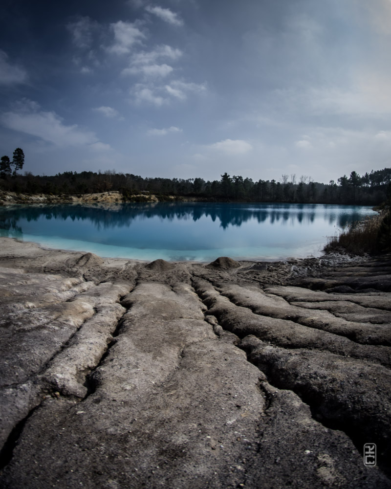
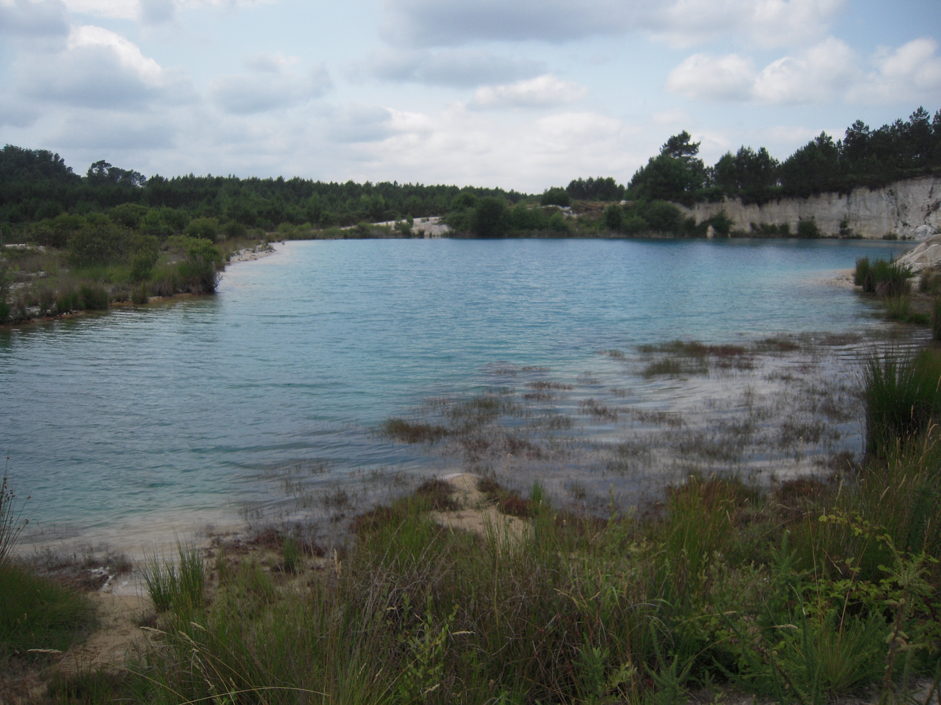
Etang bleu - Guizengeard

Sunset, Berneuil.
LES ARGILES KAOLINIQUES
BLEU LAGON
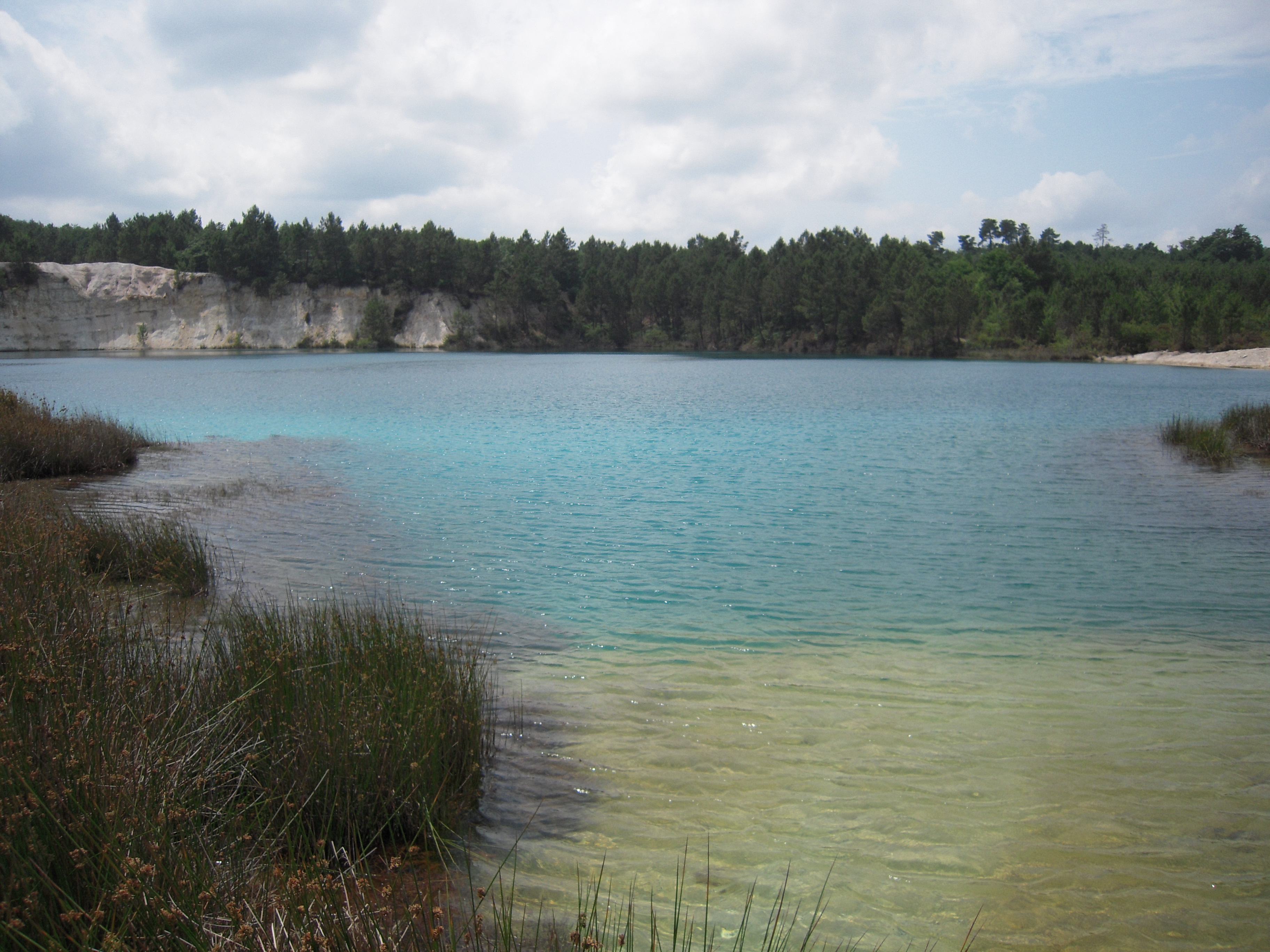
ETANG BLEU
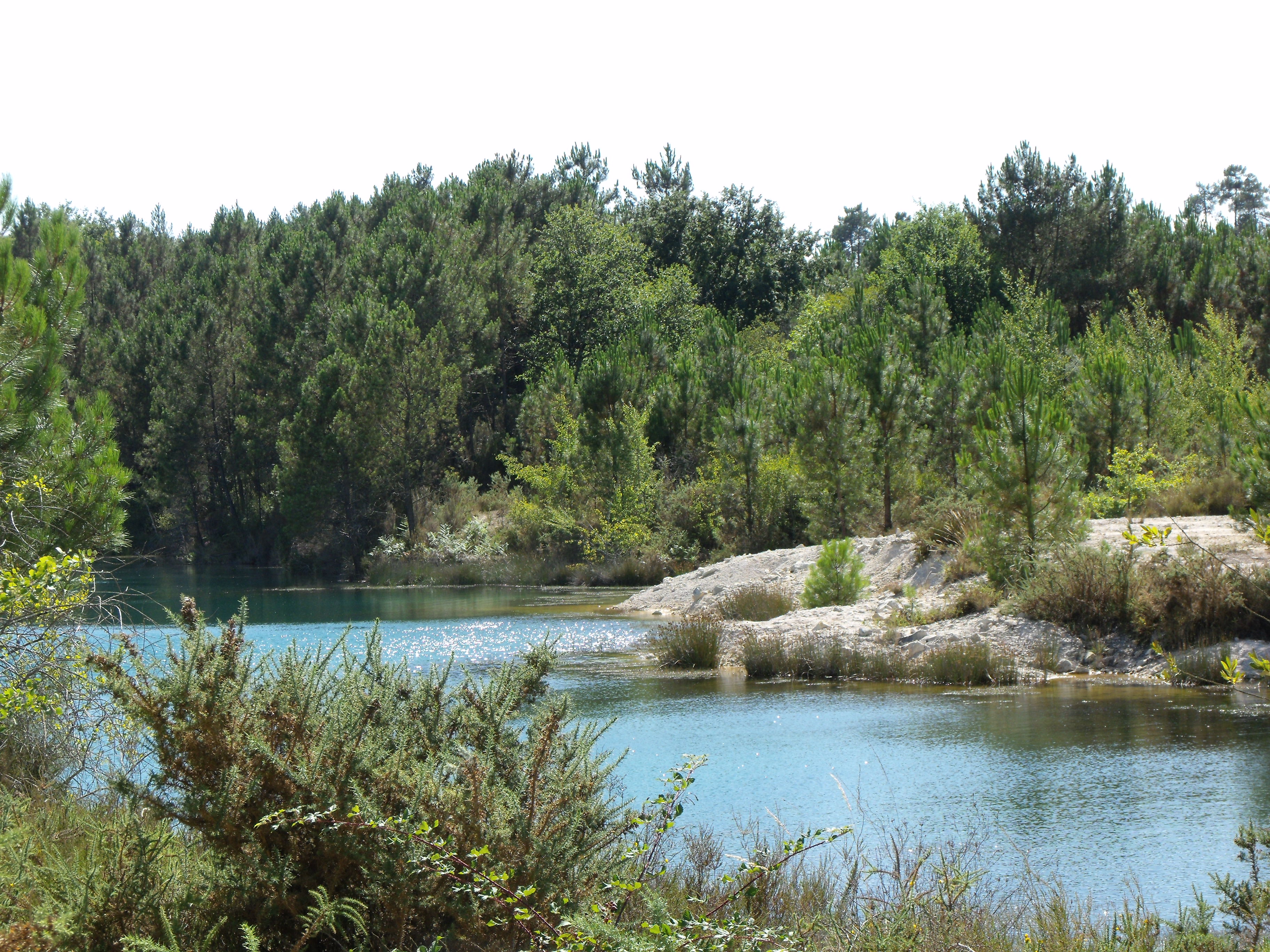
Etang bleu - Guizengeard
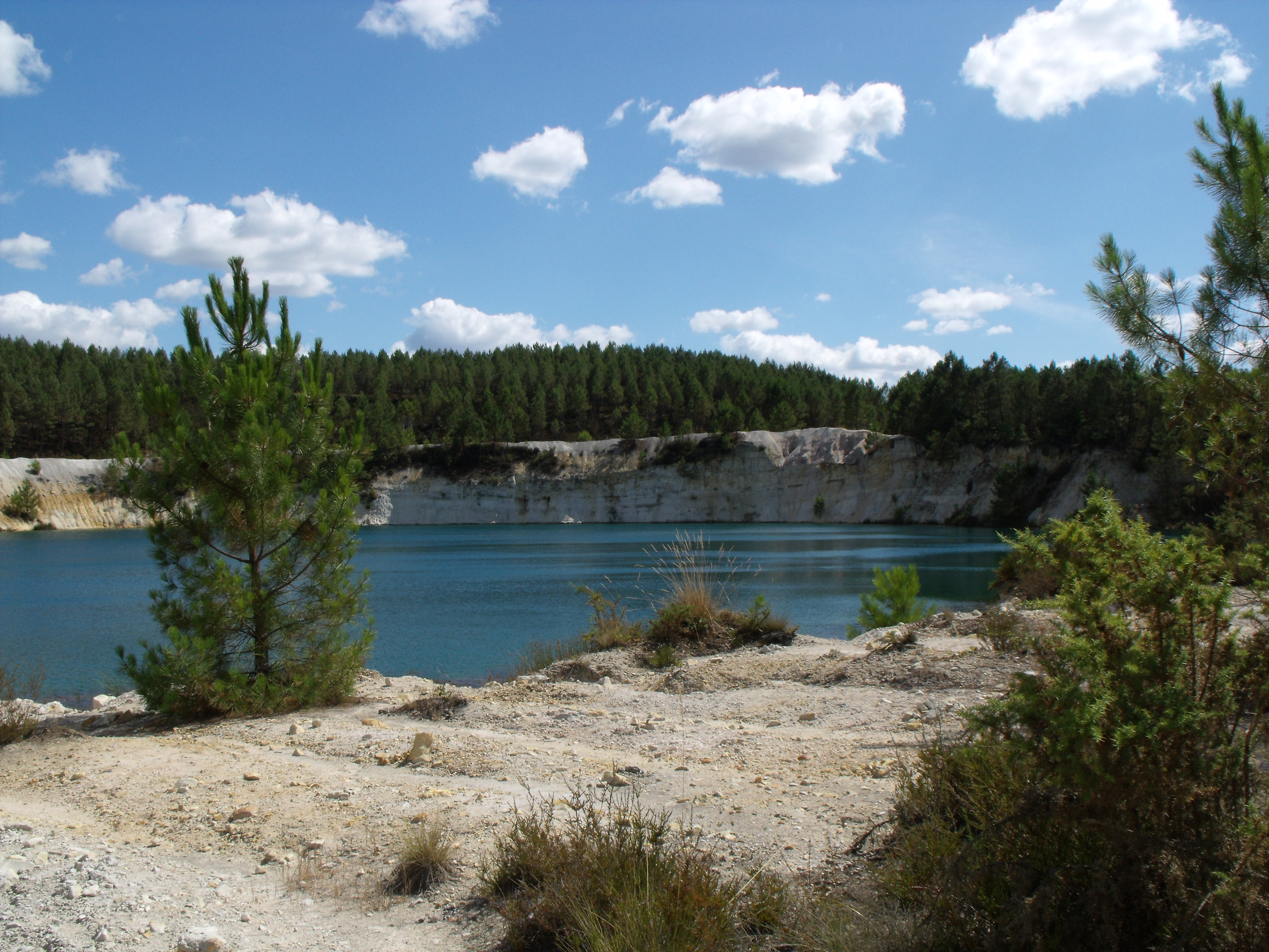
Etang bleu - Guizengeard
Topographic Map of 56 Le Bourg, Reignac, France
Find elevation by address:

Places near 56 Le Bourg, Reignac, France:
Reignac
13 Place des Halles, Baignes-Sainte-Radegonde, France
Baignes-sainte-radegonde
3 Rue des Templiers, Viville, France
Viville
Neuvicq
14 Bruneteau, Neuvicq, France
Angeac-champagne
2 Rue de la Mairie, Saint-Maurice-de-Tavernole, France
Saint-maurice-de-tavernole
Gensac-la-pallue
Genté
Salles-d'angles
16 Rue des Ebaupines, Genté, France
Jonzac
14 Route Isaac de Laisné, Gondeville, France
27 Place du Château, Jonzac, France
Gondeville
Mosnac
7 Route des Six Chemins, Gensac-la-Pallue, France
Recent Searches:
- Elevation of Corso Fratelli Cairoli, 35, Macerata MC, Italy
- Elevation of Tallevast Rd, Sarasota, FL, USA
- Elevation of 4th St E, Sonoma, CA, USA
- Elevation of Black Hollow Rd, Pennsdale, PA, USA
- Elevation of Oakland Ave, Williamsport, PA, USA
- Elevation of Pedrógão Grande, Portugal
- Elevation of Klee Dr, Martinsburg, WV, USA
- Elevation of Via Roma, Pieranica CR, Italy
- Elevation of Tavkvetili Mountain, Georgia
- Elevation of Hartfords Bluff Cir, Mt Pleasant, SC, USA