Elevation of 50 Troutman Rd, Delaware, OH, USA
Location: United States > Ohio > Delaware County > Troy Township >
Longitude: -83.074685
Latitude: 40.3797058
Elevation: 289m / 948feet
Barometric Pressure: 98KPa
Elevation Map:
Satellite Map:
Related Photos:

Love, Anonymus.

Reddish Egret

Reddish Egret

right here

Once Upon A Blissfully Cold Evening

Hold Your Breath

Saint Mary's HDR

Abandoned House - Magnetic Springs, OH
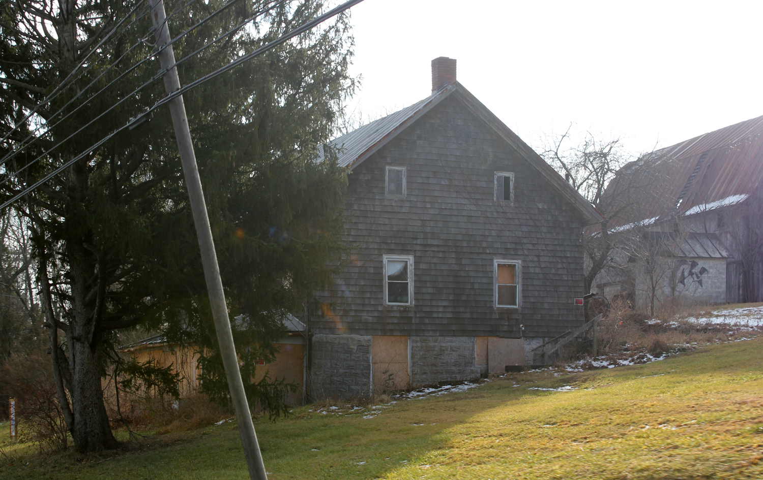
Abandoned House - Delaware, OH

eBird Doc: OHIO Reddish & Snowy Egret

Chew Mail Pouch HDR

1991 Honda Nighthawk - CB250
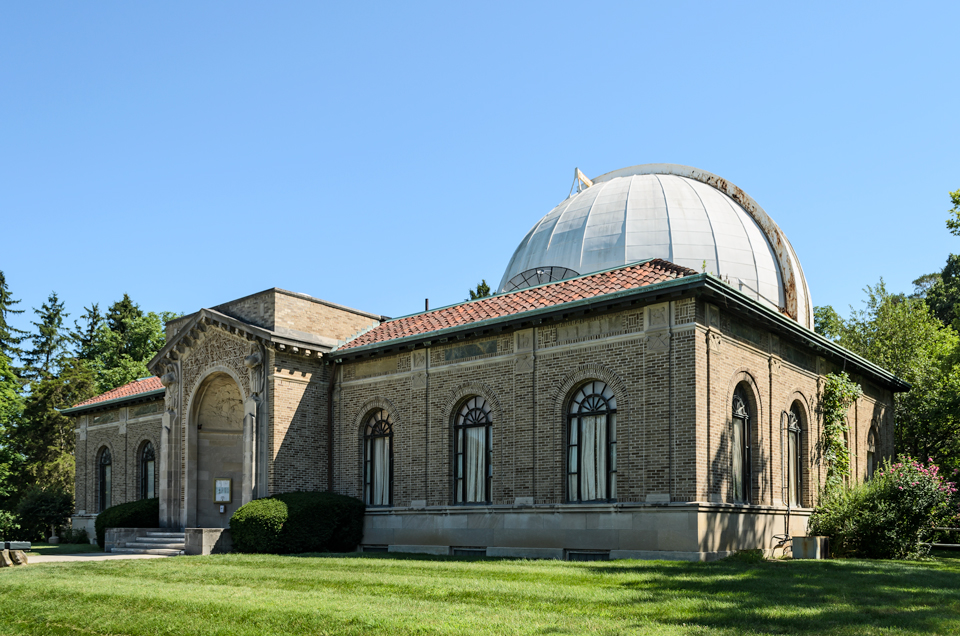
Perkins Observatory, Close 3/4 View
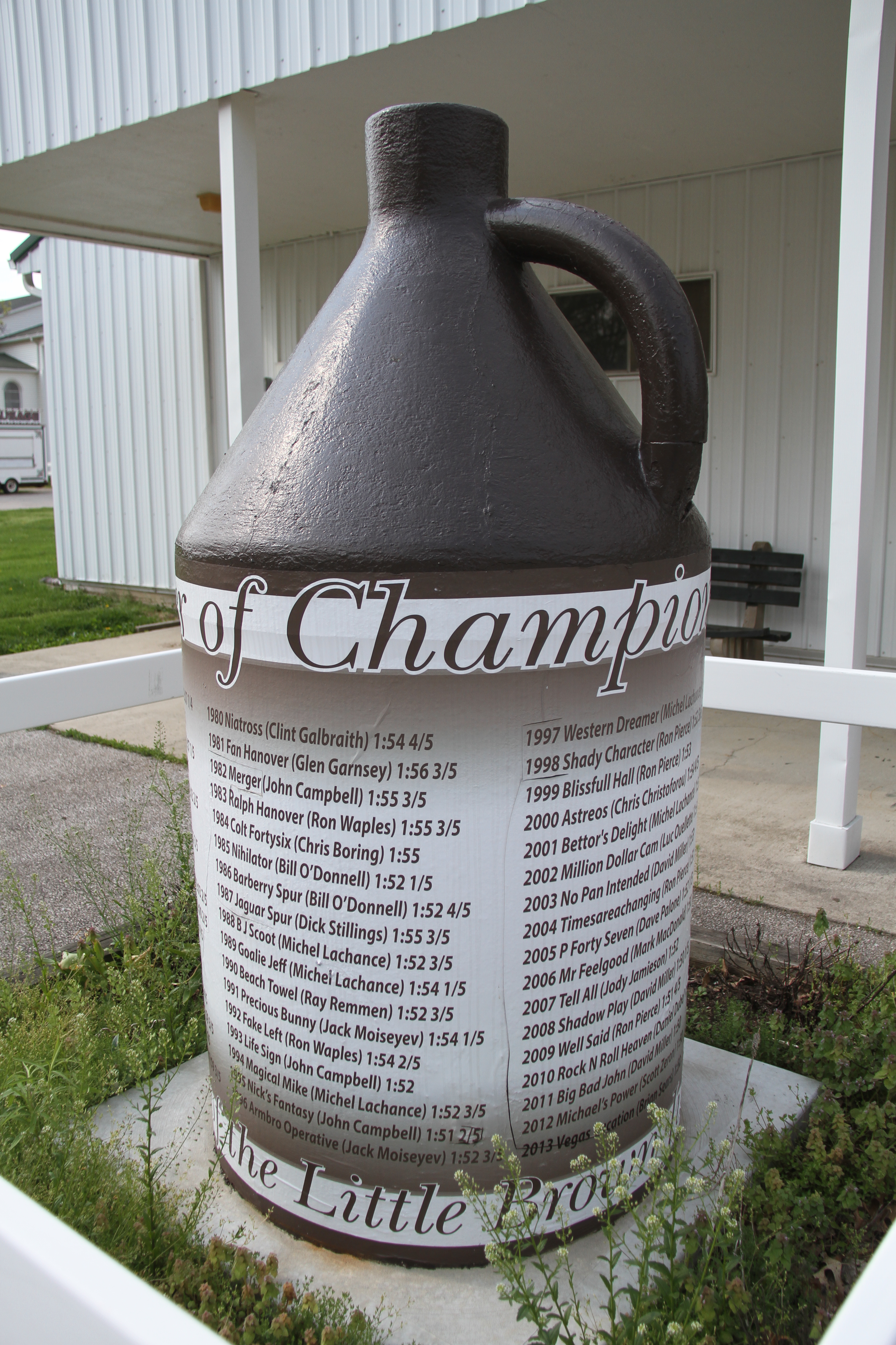
Delaware County Fairgrounds

1991 Honda Nighthawk - CB250

Day 210

Reddish Egret

Reddish Egret

Reddish Egret

Reddish Egret

Sitting in Quiet Contemplation

Alum creek

Moonrise over the Farm

Delaware County Fairgrounds

Autumn's Bounty

Pathway in the Woods, Scioto Twp. Park

House in the Middle of No Where

Alum creek

_MG_2833-Edit-small

Day 168 of Living Gratefully

Coal Loads North

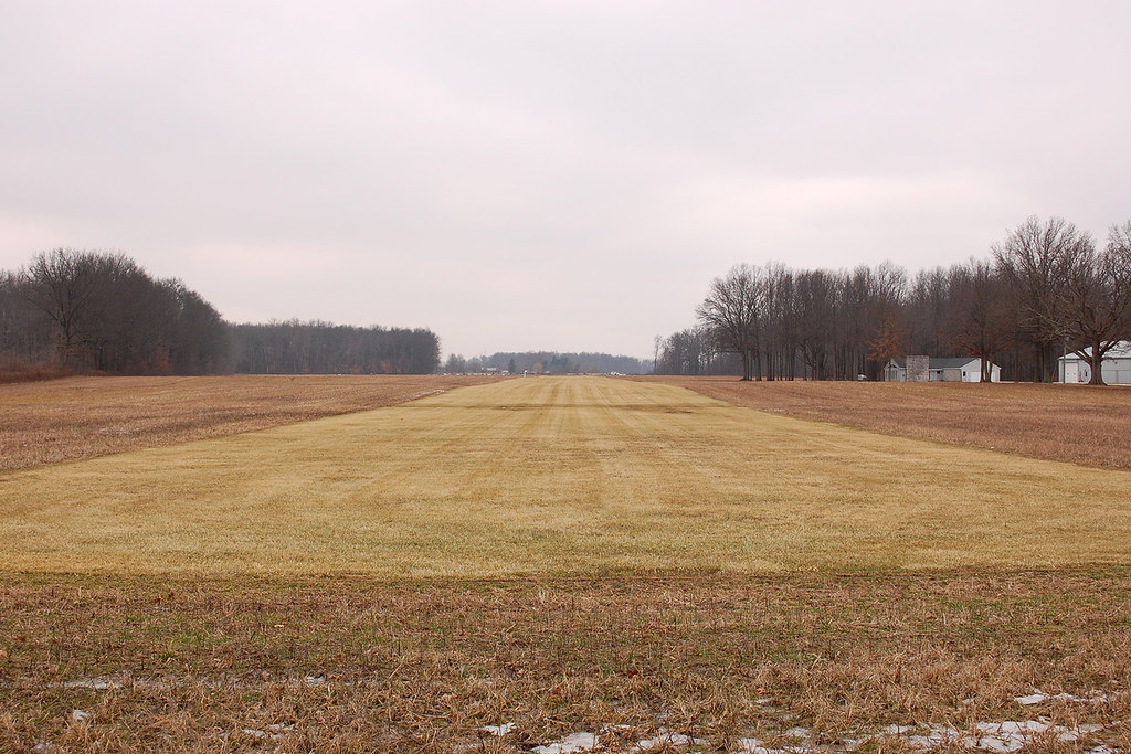
Berlin Station Landing Strip OH57
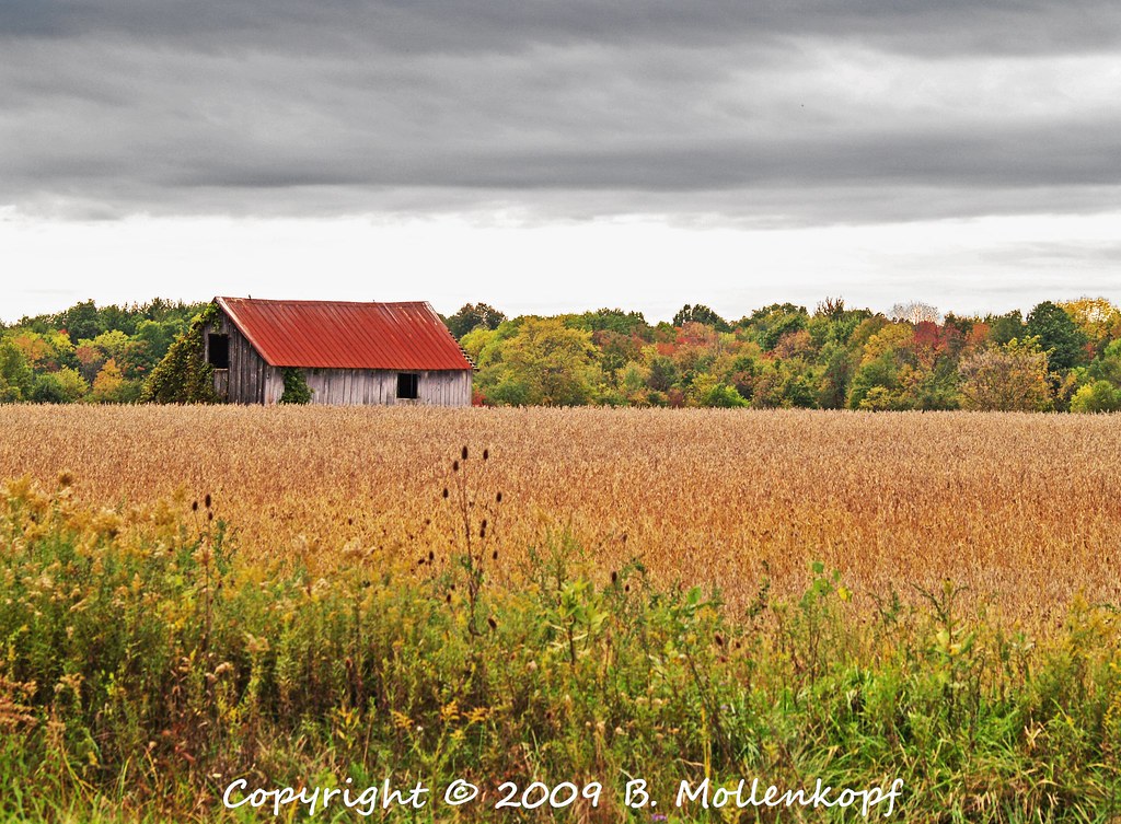
Barn Outside of Hogback Ridge
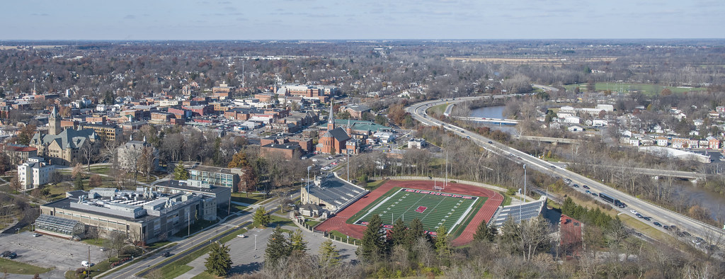
Ohio Wesleyan University Pano

Fence and Retaining Wall — Delaware, Ohio

Lake behind Delaware Dam, Ohio

C:2006P1-2.jpg
Erdy Farm 1OA8

Self Portrait
Frozen Field

Landscape — Radnor, Ohio

In The Maze
Topographic Map of 50 Troutman Rd, Delaware, OH, USA
Find elevation by address:

Places near 50 Troutman Rd, Delaware, OH, USA:
Troy Township
Pennsylvania Avenue
176 Pennsylvania Ave
72 Pennsylvania Ave
72 Pennsylvania Ave
175 Pennsylvania Ave
76 Elmwood Dr
72 Elmwood Dr
3425 Oh-203
34 Lantern Chase Dr
Delaware
Delaware County
Leonardsburg Rd, Delaware, OH, USA
Delaware Township
Ostrander Rd, Ostrander, OH, USA
Columbus Pike, Delaware, OH, USA
Klondike Rd, Delaware, OH, USA
OH-, Ostrander, OH, USA
Scioto Township
Scioto Township
Recent Searches:
- Elevation of Corso Fratelli Cairoli, 35, Macerata MC, Italy
- Elevation of Tallevast Rd, Sarasota, FL, USA
- Elevation of 4th St E, Sonoma, CA, USA
- Elevation of Black Hollow Rd, Pennsdale, PA, USA
- Elevation of Oakland Ave, Williamsport, PA, USA
- Elevation of Pedrógão Grande, Portugal
- Elevation of Klee Dr, Martinsburg, WV, USA
- Elevation of Via Roma, Pieranica CR, Italy
- Elevation of Tavkvetili Mountain, Georgia
- Elevation of Hartfords Bluff Cir, Mt Pleasant, SC, USA