Elevation of 4 Route de Rochefort, Muron, France
Location: France > Aquitaine Limousin Poitou-charentes > Charente-maritime > Muron >
Longitude: -0.8625251
Latitude: 46.0111529
Elevation: 11m / 36feet
Barometric Pressure: 101KPa
Elevation Map:
Satellite Map:
Related Photos:
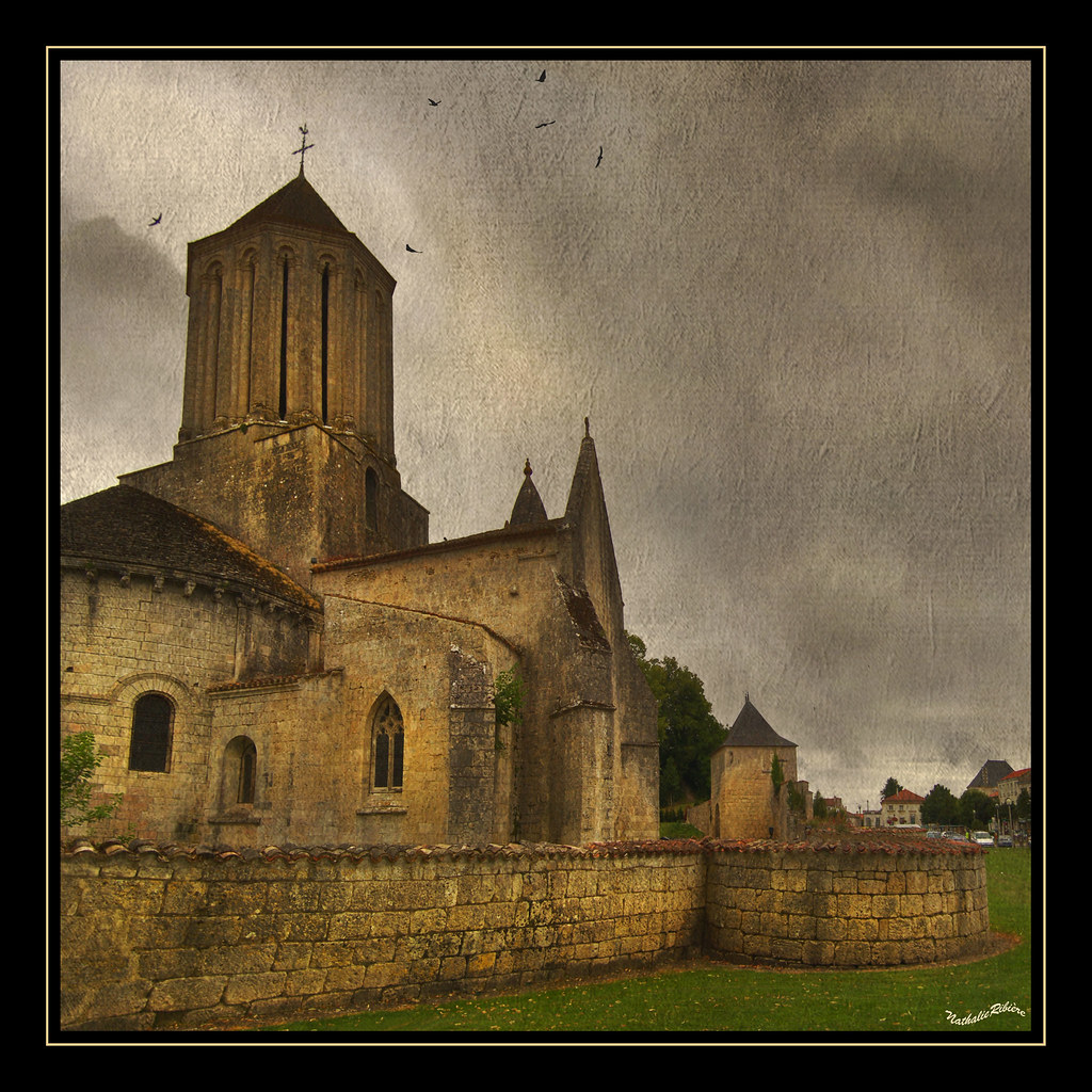
Church-of-SurgèresFlickr

Bridge over La Charente - Tonnay-Charente, France

Ancient View

Water castle, front view
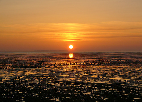
La Rochelle sunset series #1
View from window at Tomlins

A view on the maze

Champs sous grand nuage. #landscape #poitoucharentes #sky #igersfrance #clouds #cloudporn #flower

Le jour d'après
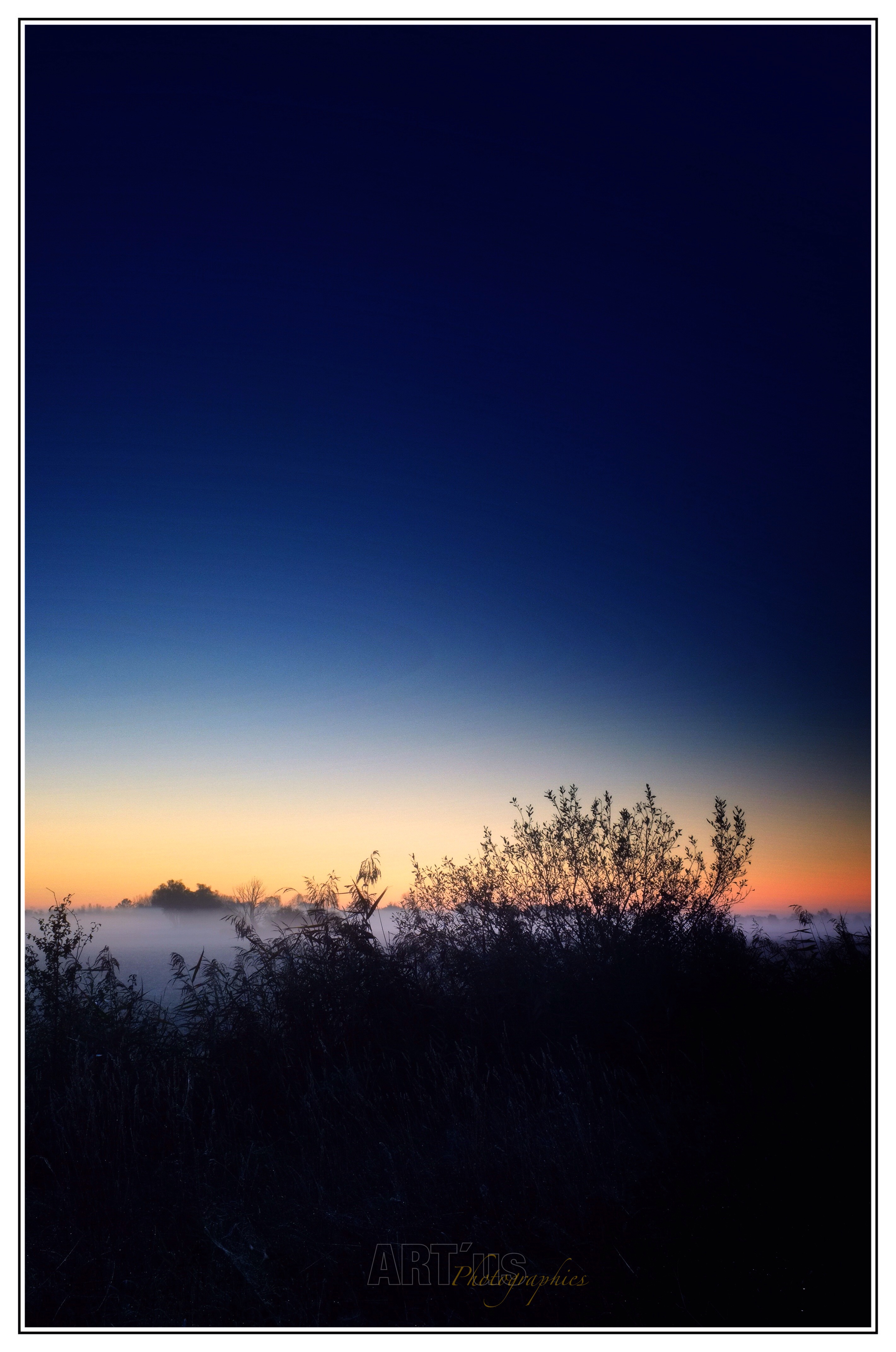
Brume du matin ...

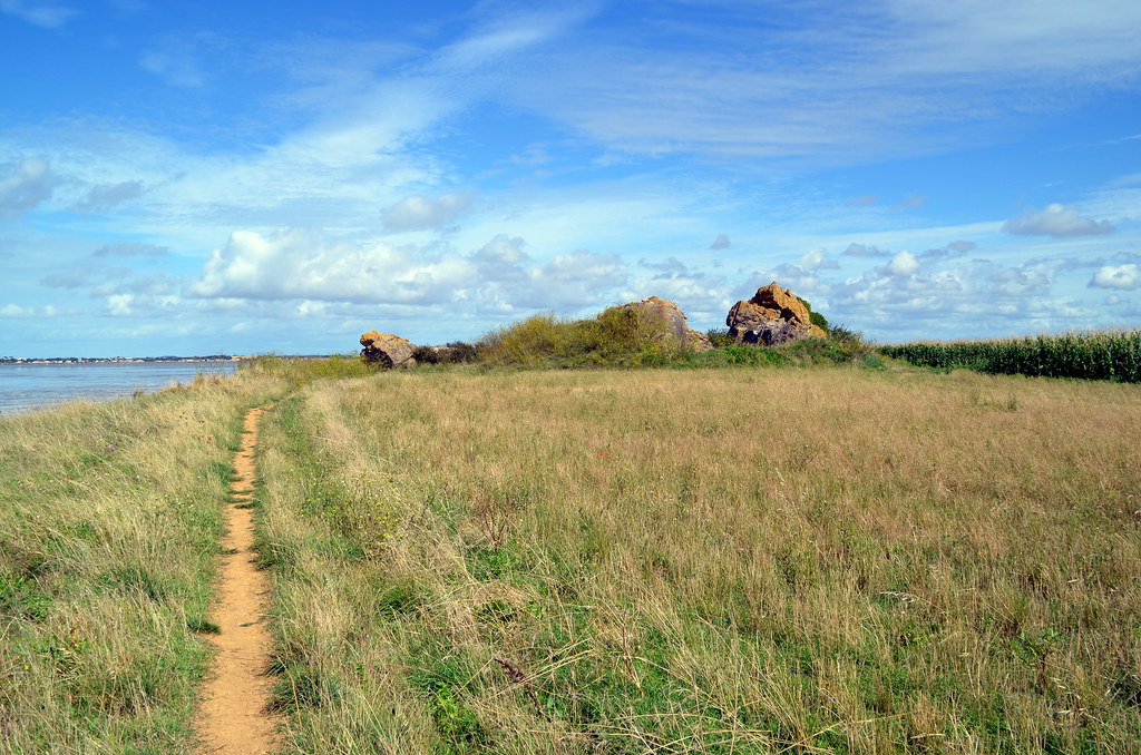
Entre falaises et mer
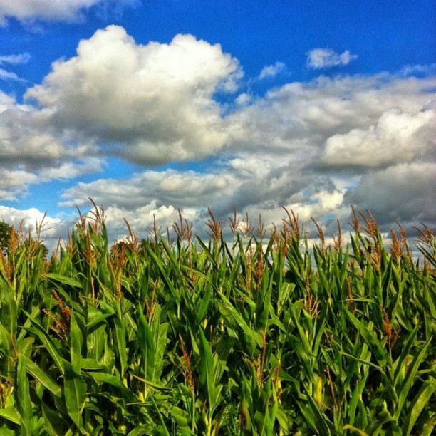
#iphoneonly #igersfrance #flower#cloud#sky#Green#blue nuages reviennent. Maïs près du noyer.

1er retour en argentique avec un SEMFLEX OTO 3.5B Type 30 (1959) - Objectif Berthiot 75mmF3.5 et une Kodak TRI-X 400 120

Trizay (Charente-Maritime, France)

Fouras les bains, carrelets plage nord
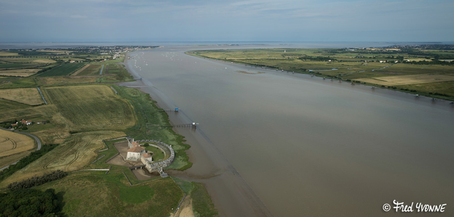
Estuaire de la Charente à Fort-Lupin (Saint-Nazaire-sur-Charente, Poitou-Charentes, FR)

La Charente à Rochefort (Charente-Maritime, France)
Arbre marais d'yves
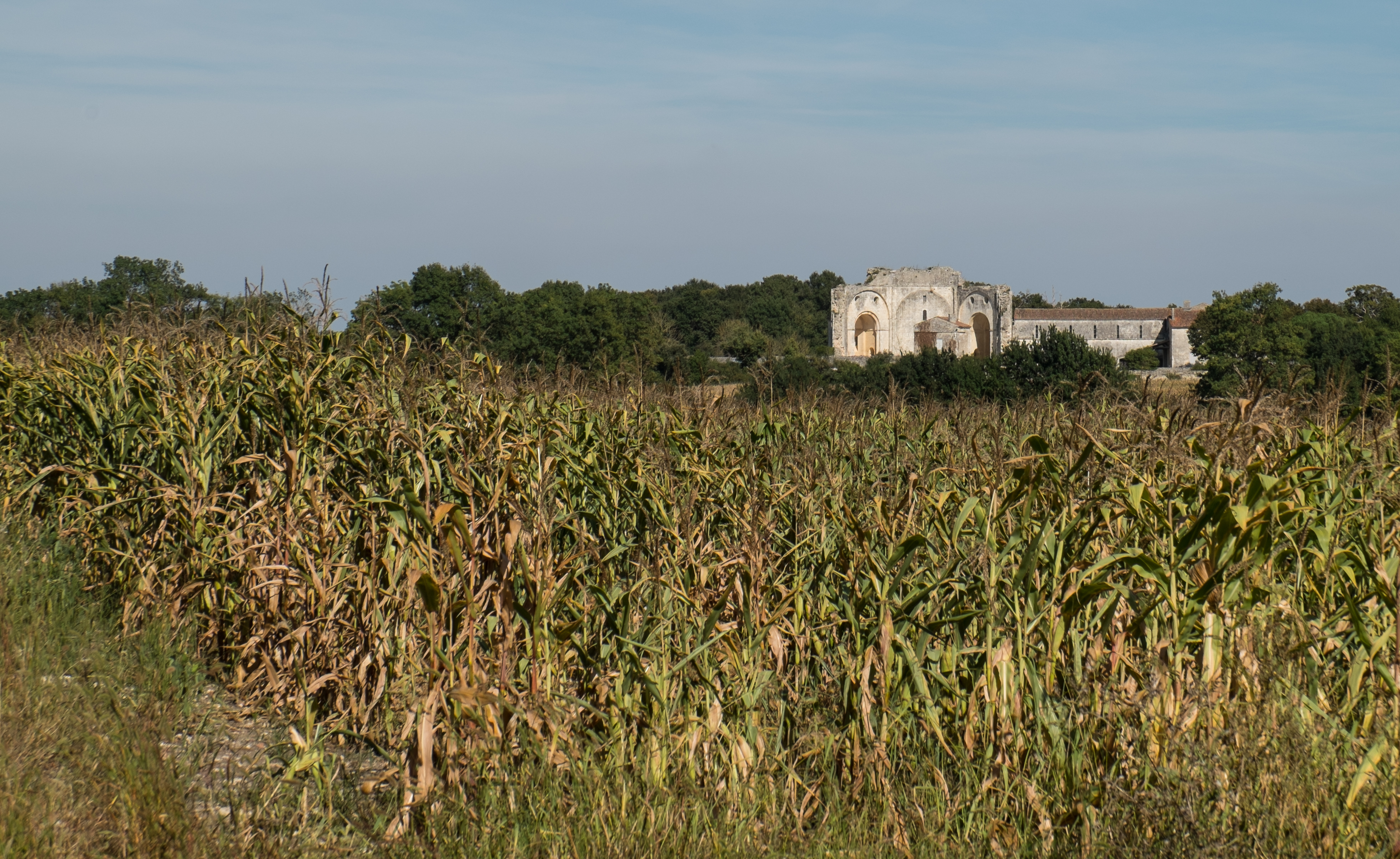
Ancienne abbaye St-Jean-l'Evangéliste de Trizay (Charente-Maritime, France)

Tout ça pour fabriquer des cordes ...1/2

Le Bel-Argus

la belle poule[MMarine
085-Yves - 27 août 2014 12-22
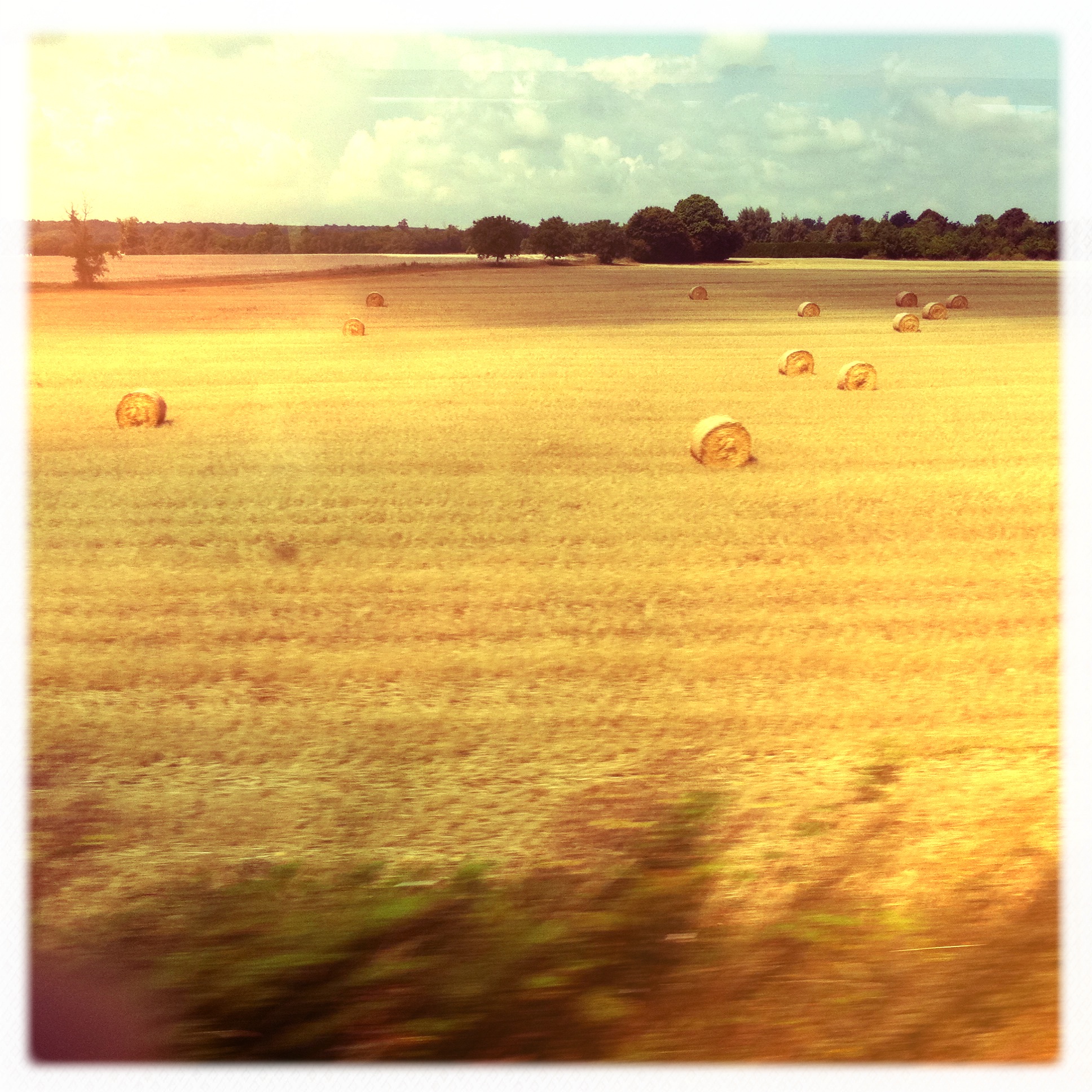
hay rolls

Untitled photo

Ambiance volcanique à #rochefort.... #rochefortocéan #landscape #roue #travel #igerscharentemaritime #instagood #picoftheday

A la manière de...

Et on flotte avec ça ?
Topographic Map of 4 Route de Rochefort, Muron, France
Find elevation by address:

Places near 4 Route de Rochefort, Muron, France:
Muron
7 Rue des Forgerons, Genouillé, France
Genouillé
Saint-hippolyte
Forges
2 Impasse de la Mare, Forges, France
24 Rue des Gillardières, Saint-Hippolyte, France
Rochefort
12 Avenue de la Charente, Rochefort, France
Vergeroux
3 Rue du Chemin Vert, Vergeroux, France
Château De La Grève
Puy-du-lac
24 Allée de l'Eguille, Champagne, France
2 Rue des Fleurs, Saint-Christophe, France
Saint-christophe
6 Imp. des Noyers, Anais, France
Anais
Pont-l'abbé-d'arnoult
20 Place du Général de Gaulle, Pont-l'Abbé-d'Arnoult, France
Recent Searches:
- Elevation of Corso Fratelli Cairoli, 35, Macerata MC, Italy
- Elevation of Tallevast Rd, Sarasota, FL, USA
- Elevation of 4th St E, Sonoma, CA, USA
- Elevation of Black Hollow Rd, Pennsdale, PA, USA
- Elevation of Oakland Ave, Williamsport, PA, USA
- Elevation of Pedrógão Grande, Portugal
- Elevation of Klee Dr, Martinsburg, WV, USA
- Elevation of Via Roma, Pieranica CR, Italy
- Elevation of Tavkvetili Mountain, Georgia
- Elevation of Hartfords Bluff Cir, Mt Pleasant, SC, USA