Elevation of 4 Line East, 4 Line E, Orangeville, ON, Canada

Location: Canada > Ontario > Dufferin County > Orangeville >

Longitude: -80.037929

Latitude: 44.0214392

Elevation: 423m / 1388feet

Barometric Pressure: 96KPa

Elevation Map:

elevation map of 4 Line East, 4 Line E, Orangeville, ON, Canada

Satellite Map:

Satellite map of 4 Line East, 4 Line E, Orangeville, ON, Canada

Related Photos:

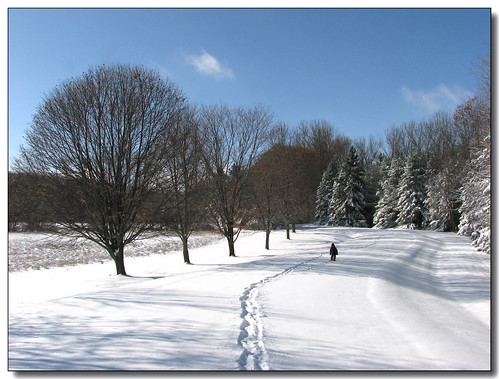
blue trees winter sky snow ontario canada shadows lisas tracks allrightsreserved invited caledon 5098 mywinners mywinner abigfave diamondclassphotographer flickrdiamond copyrightlisastokes getty2011 flickropen getty20111101
Wait for me...
house ontario canada brick architecture orangeville hosta
Garden view
glass amber backlit oillamp macromondays
Back Lit Oil Lamp
iphone gcam olloclip snapseed
The bee’s-eye view while approaching glory
road trees winter snow man dogs rural walking exercise recreation
Walking the Dog
camera ontario canada canon eos hiking events places equipment cameras 7d processing handheld 50views lenses onone topaz circularpolarizer brucetrail outdooractivities sigma1770mmf2845 bypaulchambers rocksteadyimages
I Think the Trees Are Starting to Take Her
tdsb torontodistrictschoolboard monocliffsprovincialpark monocliffsoutdooreducationcentre monocliffsoec mcoec bayviewmiddleschool
Trail view outside my room
tdsb torontodistrictschoolboard monocliffsprovincialpark monocliffsoutdooreducationcentre monocliffsoec mcoec bayviewmiddleschool
Close view of large boulders
tdsb torontodistrictschoolboard monocliffsprovincialpark monocliffsoutdooreducationcentre monocliffsoec mcoec bayviewmiddleschool
Trail view outside my room
tdsb torontodistrictschoolboard monocliffsprovincialpark monocliffsoutdooreducationcentre monocliffsoec mcoec bayviewmiddleschool
Trail view outside my room
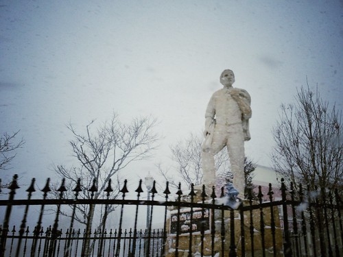
iphone pureshot snapseed
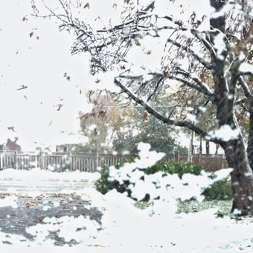
Orange Lawrence, founder of our town, taking a cold view of this snowsquall
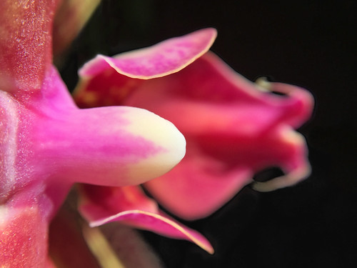
orchid flower macro iphone pureshot filterstormneue olloclip10xmacro
Phalenopsis bird’s-eye view
iphone pureshot snapseed tryggerpolarizer
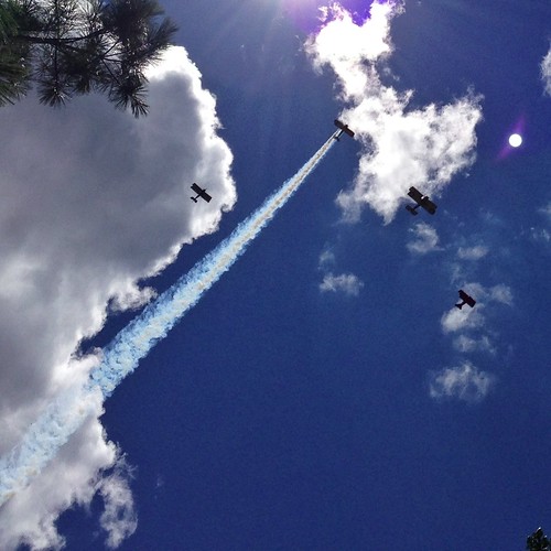
Another view of the fly past for Roz Robinson
iphone
The view from here …
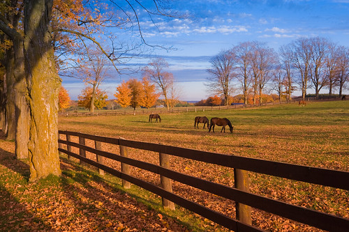
blue horses ontario canada fall colors landscape rebel cannon northamerica outumn monomills
Blue & Orange & Horses
tdsb torontodistrictschoolboard monocliffsprovincialpark monocliffsoutdooreducationcentre monocliffsoec mcoec bayviewmiddleschool
View of outside from my room
iphone pureshot snapseed
My view inside & out, while heading up to sleep
iphone huemore olloclip snapseed
Another view of the quirky dotting along one side of the petals of St John’s-wort
road winter snow black ice weather squall dangerous funny day joke blowing april orangeville fools whiteout drifting snowsqualls pwwinter
Really Driftin
iphone snapseed
The view from inside
trees ontario valley googleearth hdr hockley volume5 93793499n00
Trees, Sky, Grass, And Water
hike brucetrail picasa2flickr:filename=img182jpg
img 182
hike brucetrail picasa2flickr:filename=img205jpg
img 205
hike brucetrail picasa2flickr:filename=img208jpg
img 208
county nature water river waterfall dufferin cascade canningsfalls
Beneath Cannings Falls
hike brucetrail picasa2flickr:filename=img226jpg
img 226
river waterfall cascade monocentre
The Falls
hike brucetrail picasa2flickr:filename=img187jpg
img 187
hike brucetrail picasa2flickr:filename=img191jpg
img 191
hike brucetrail picasa2flickr:filename=img186jpg
img 186
hike brucetrail picasa2flickr:filename=img181jpg
img 181
hike brucetrail picasa2flickr:filename=img194jpg
img 194
hike brucetrail picasa2flickr:filename=img231jpg
img 231
hike brucetrail picasa2flickr:filename=img180jpg
img 180
hike brucetrail picasa2flickr:filename=img179jpg
img 179
nature water river waterfall falls cascade cannings canningfalls
Upper Canning
hike brucetrail picasa2flickr:filename=img238jpg
img 238
hike brucetrail picasa2flickr:filename=img236jpg
img 236
hike brucetrail picasa2flickr:filename=img206jpg
img 206
food green rural landscape mono vanishingpoint forsale farm farming rows getty sept11 agriculture vegitable strips spinach gettyimagescanada
Spiniach Rows
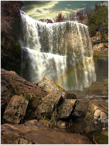
ontario canada heritage rainbow flickr hiking falls valley dundas 1001nights webster on brucetrail 1001nightsmagiccity onasill
Websters Fall ~ Ontario Canada
trees sunset reflection water spring orangeville 6d canon1740mm islandlakeconservationarea islandlakeorangeville
Reflections!