Elevation of 4 Chome- Atamimachi Atami, Kōriyama-shi, Fukushima-ken -, Japan
Location: Japan > Fukushima Prefecture > Koriyama >
Longitude: 140.266703
Latitude: 37.4833673
Elevation: 319m / 1047feet
Barometric Pressure: 98KPa
Elevation Map:
Satellite Map:
Related Photos:
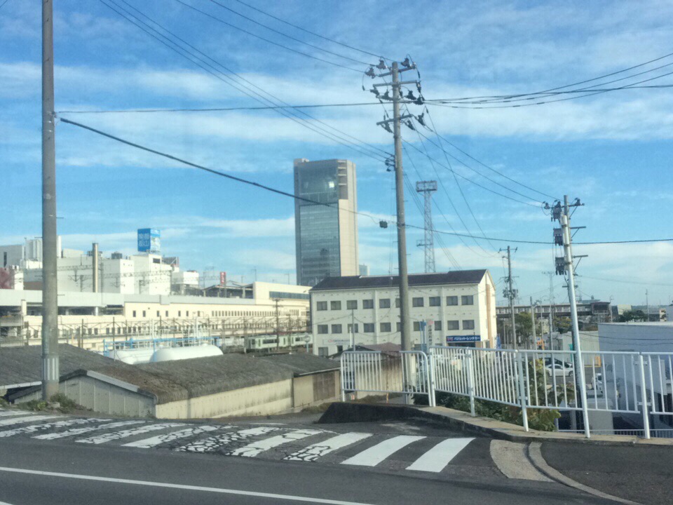
View of "Simply clouds" - Tuesday, 11 October 2016 - 07:29 GMT+0900
View of "drip drop droopy" - Monday, 10 October 2016 - 08:10 GMT+0900
View of "Tapestry like, crossed multilines" - Monday, 10 October 2016 - 08:04 GMT+0900
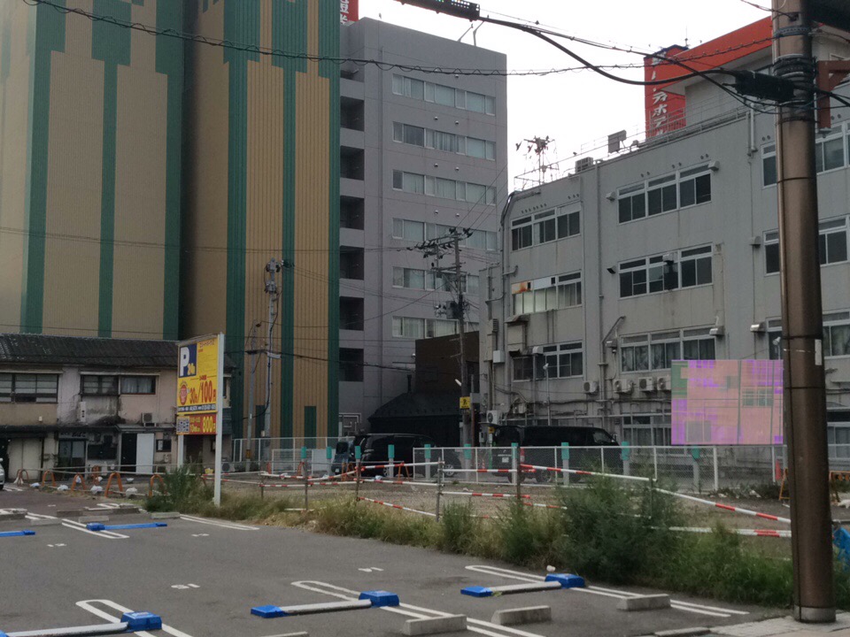
View of "Tapestry like, crossed multilines" - Monday, 10 October 2016 - 08:03 GMT+0900
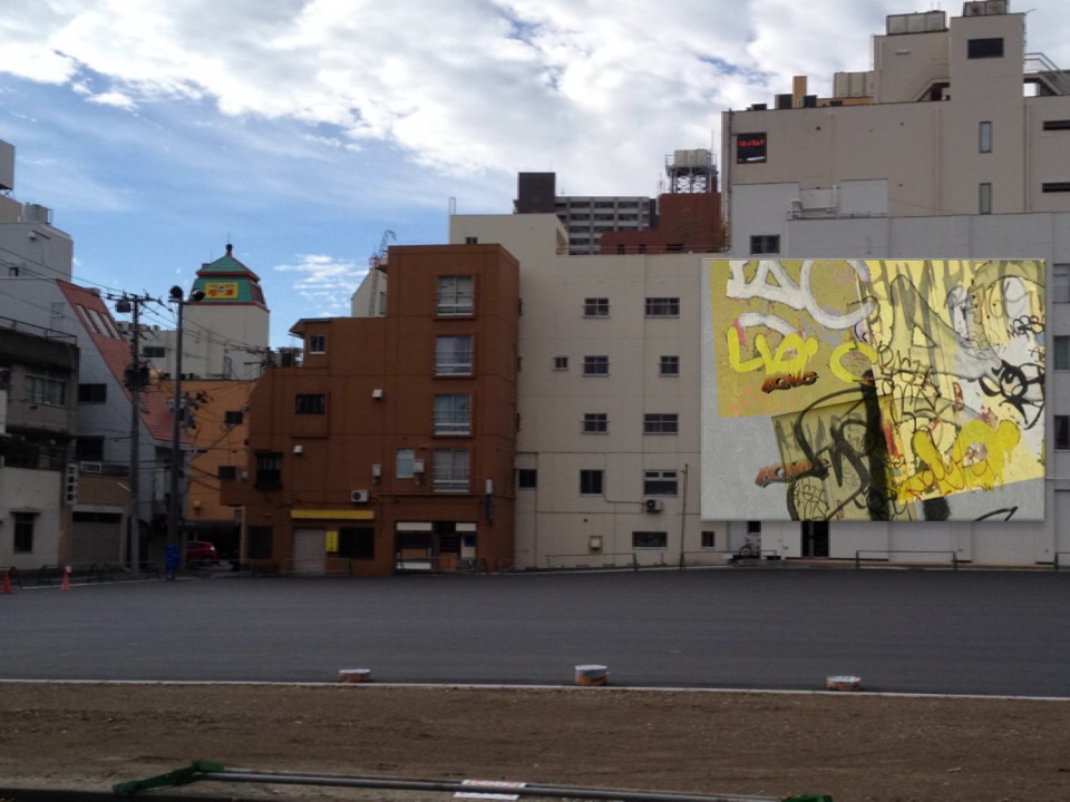
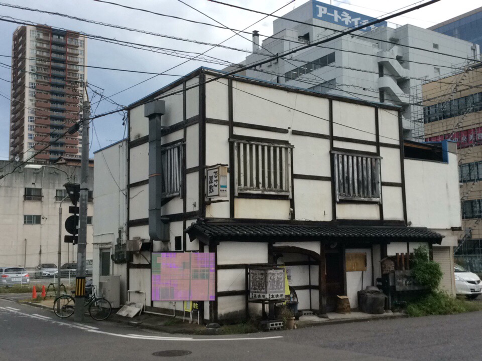
View of "Walls are talking (rev.0.1)" - Monday, 10 October 2016 - 07:58 GMT+0900
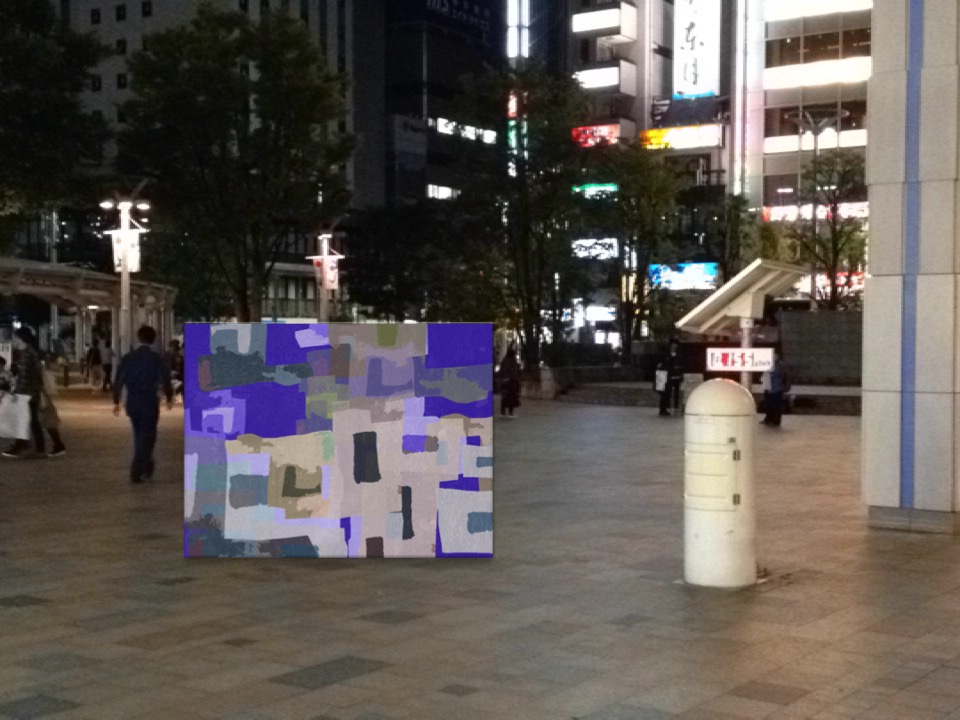
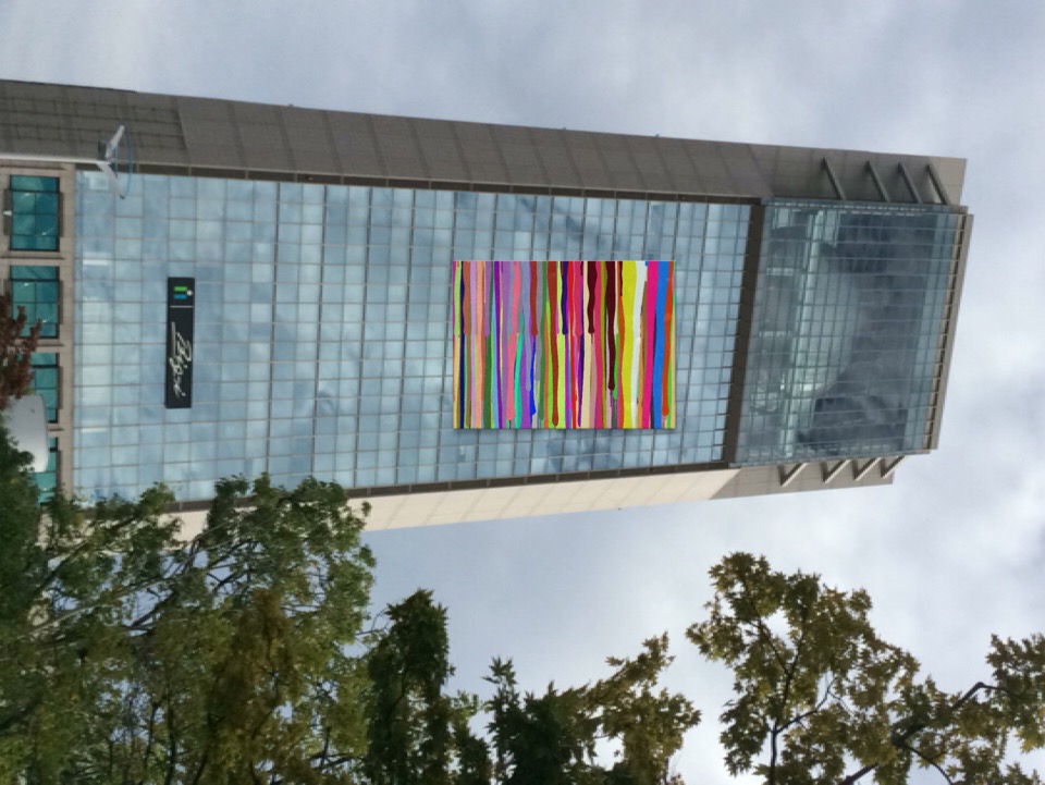
View of "AbstractUS" - Sunday, 9 October 2016 - 18:54 GMT+0900
Views of the once a year
ant view
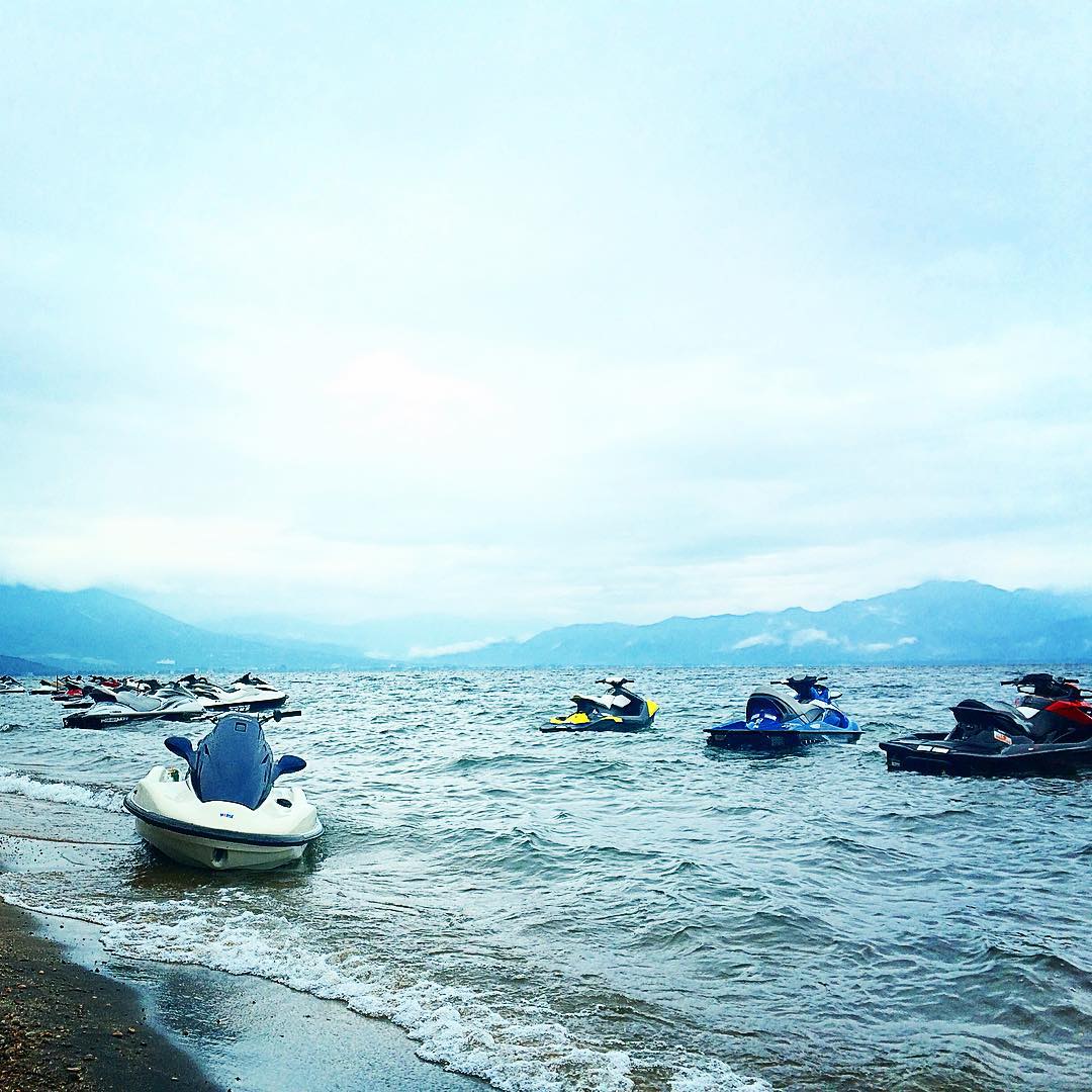
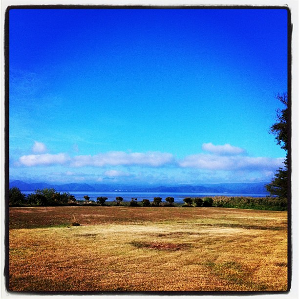
Inawashiro Lake???? #lake #湖 #summer #view #Niceview #clouds #JAPAN #sky #猪苗代 #jetski #ジェットスキー
Fukushima #1
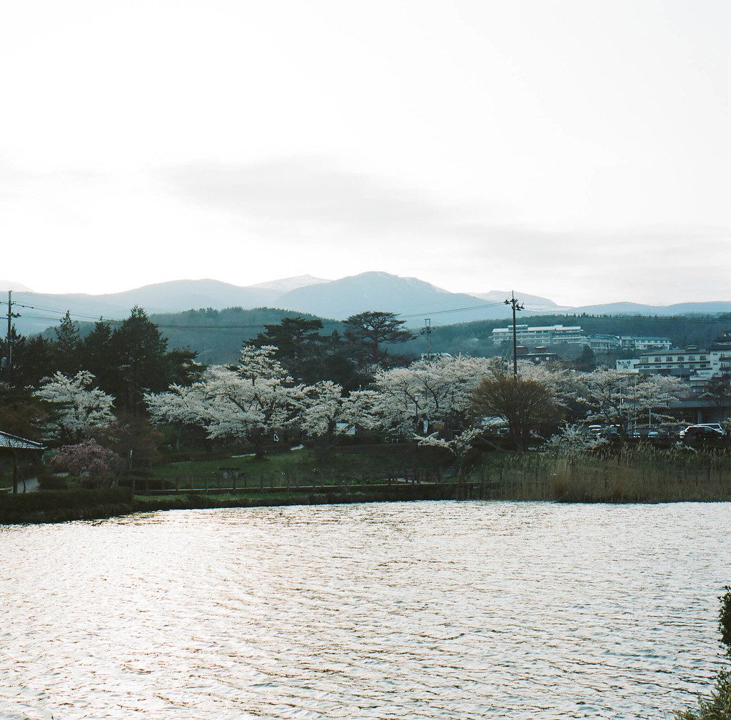
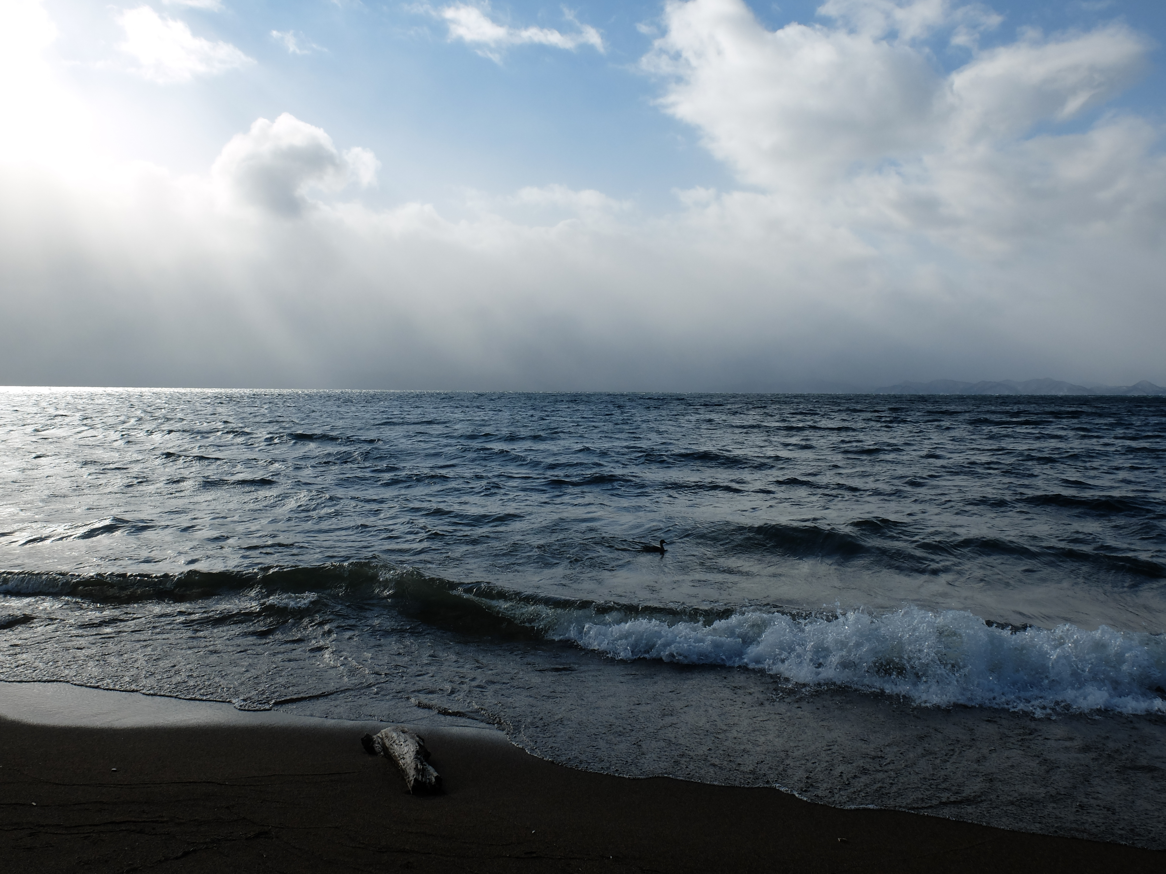
Lake Inawashiro
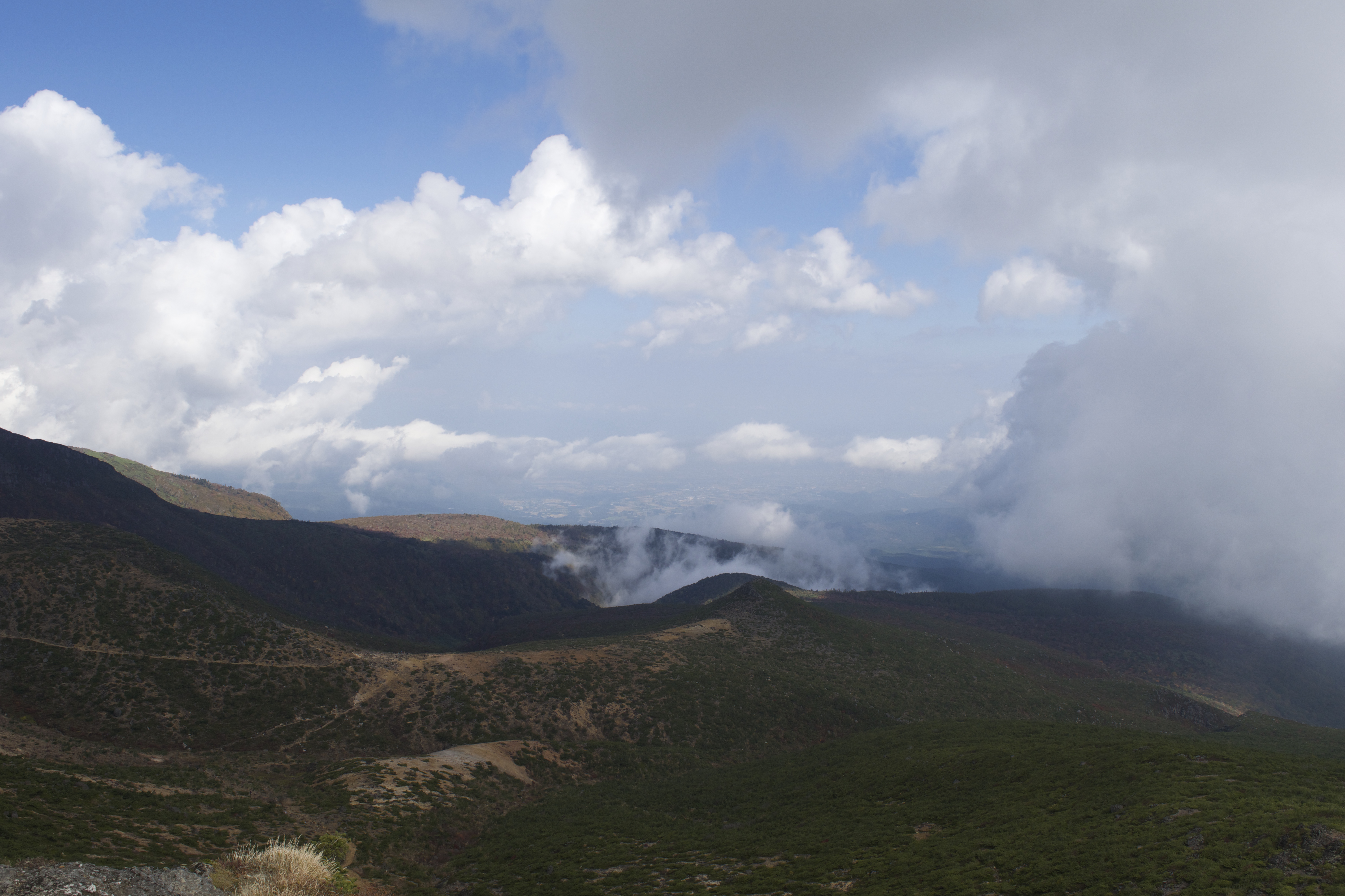
Mt Adatara (explored)

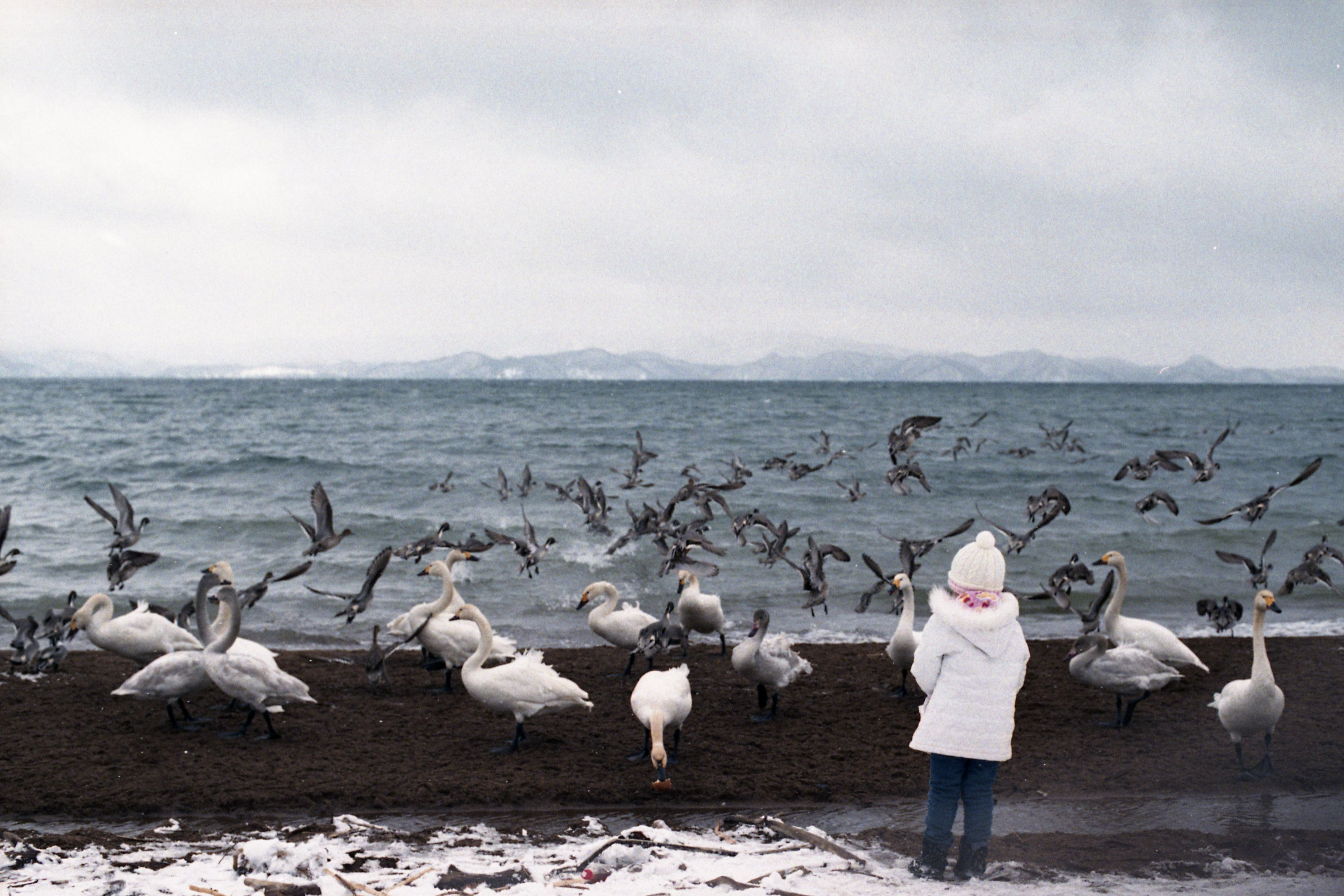
Evening at Lake Inawashiro
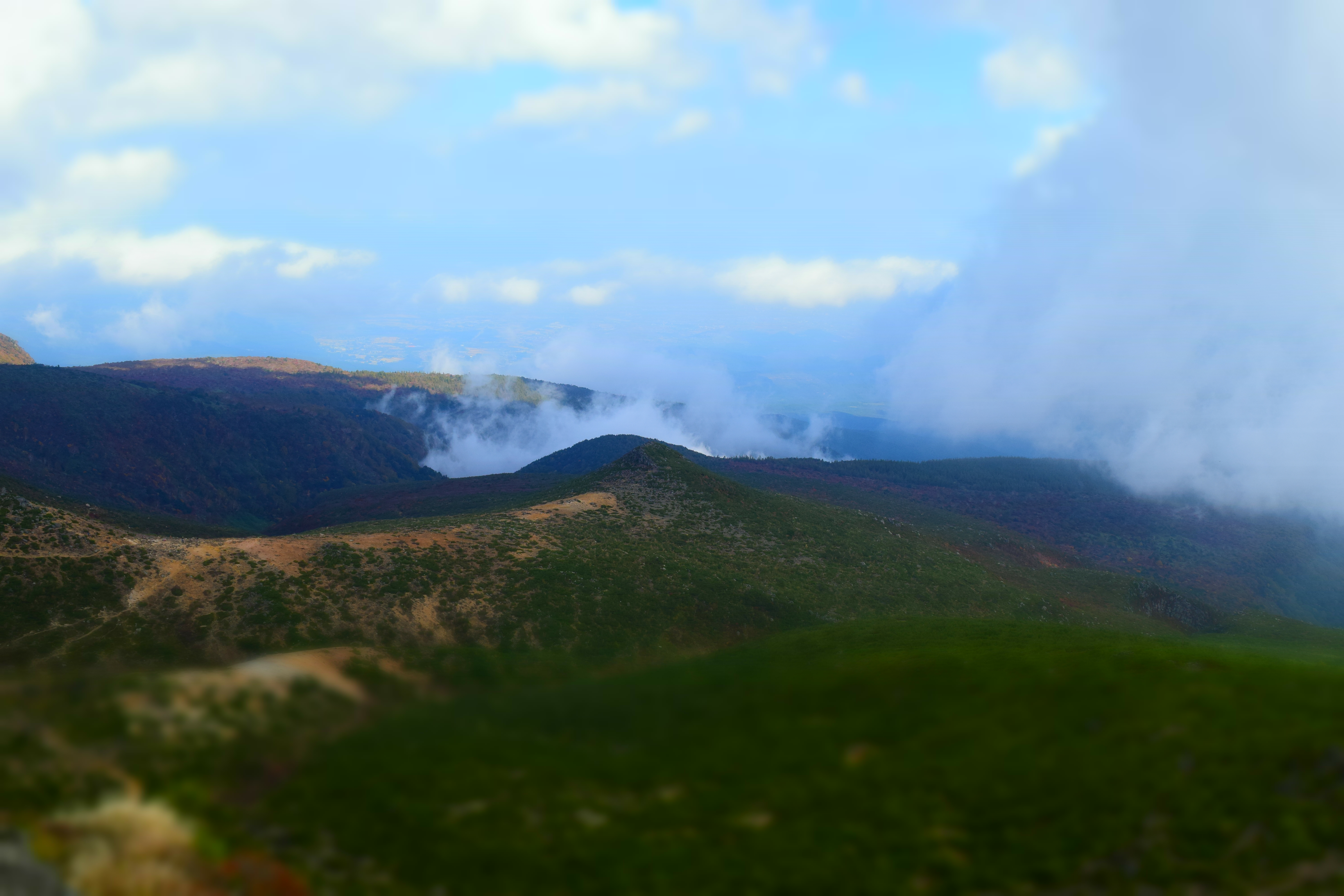
Mt Adatara
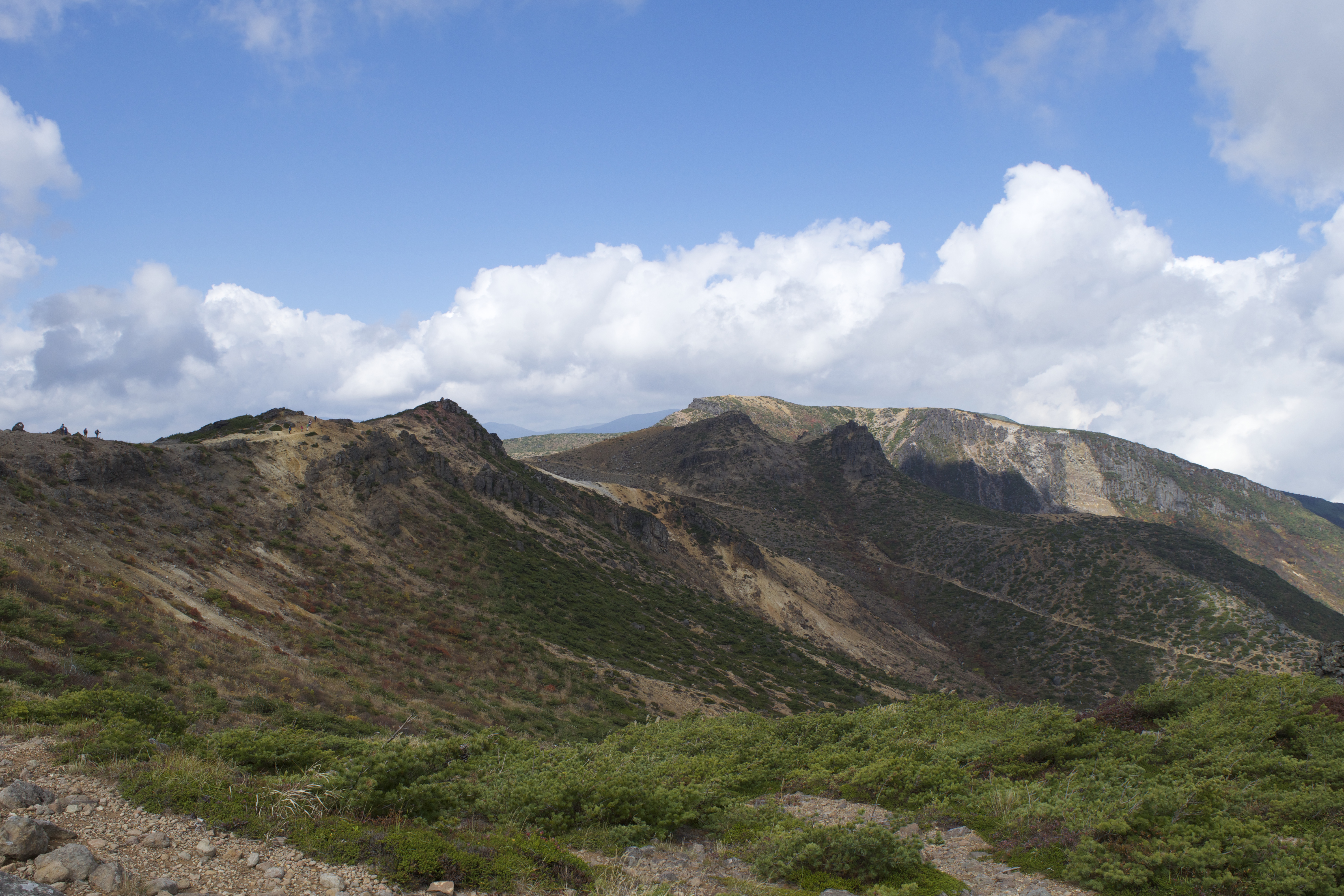
Mt Adatara
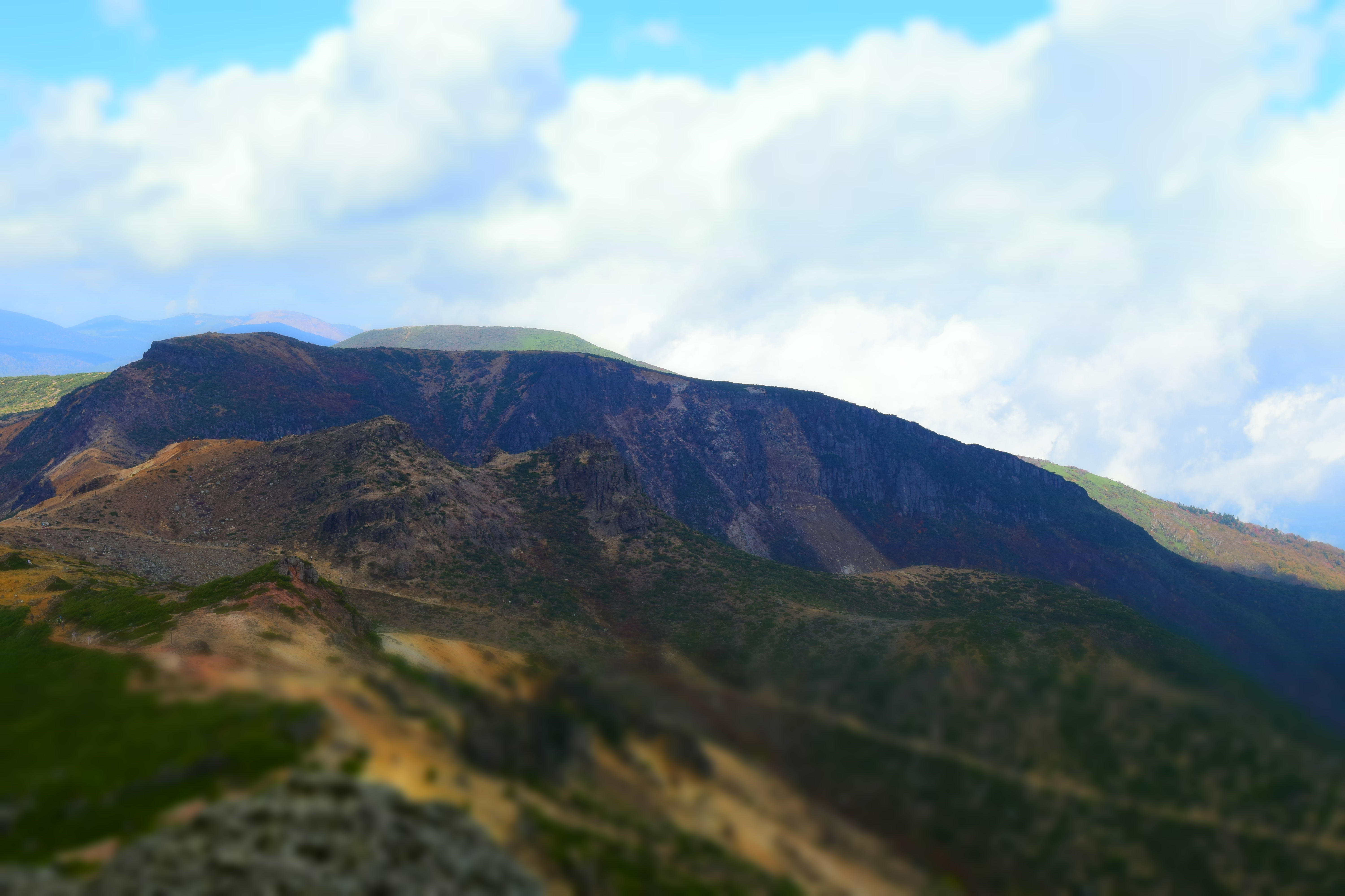
Mt Adatara
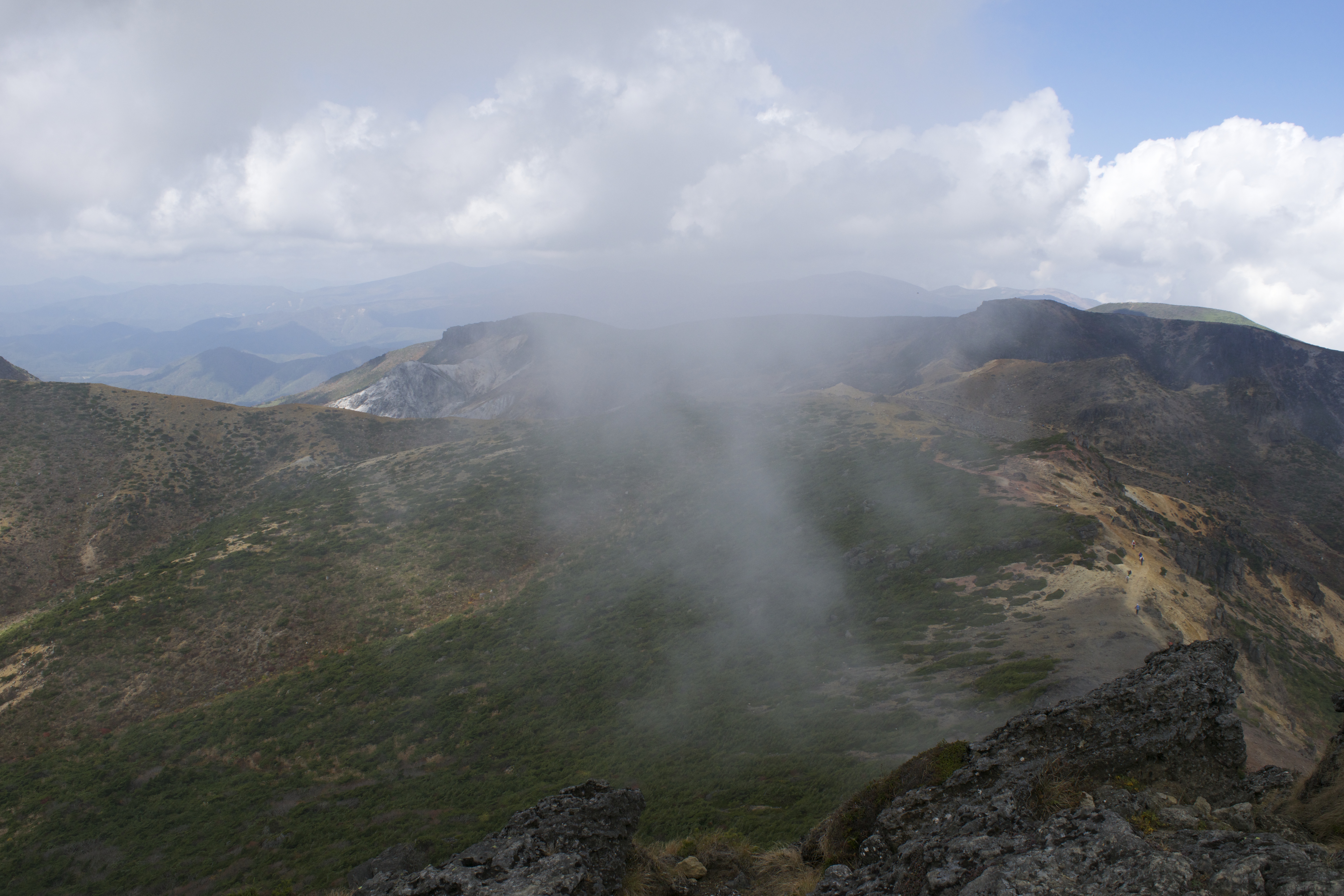
Mt Adatara
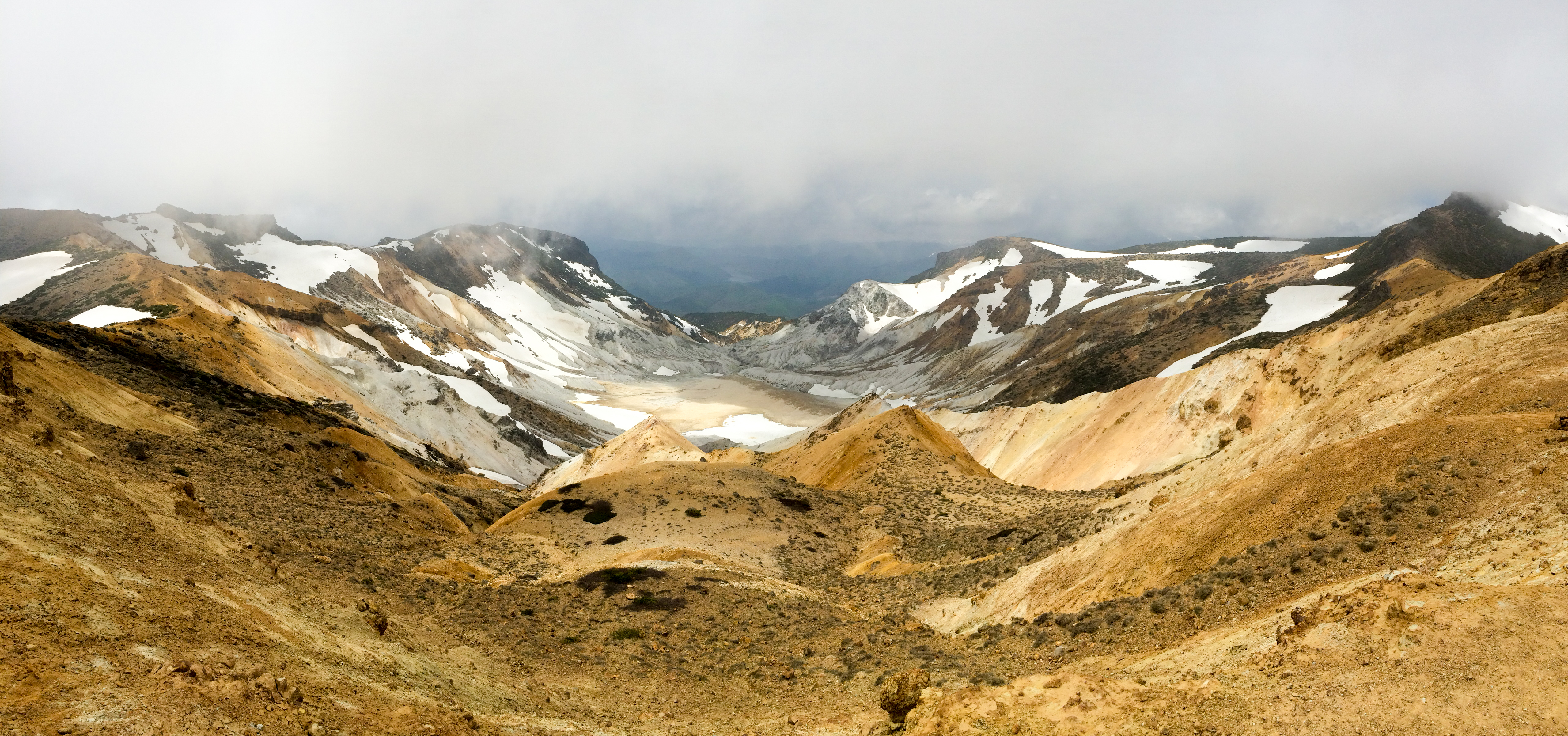
Mt.Adatarasan, Fukushima, Japan
Day 271/365
ザ・猪苗代湖ズ!
#crossing #walk #autunm #air
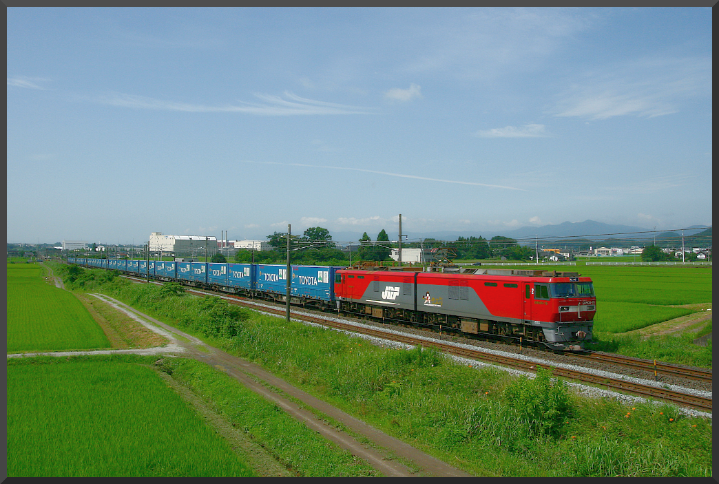
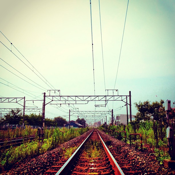
Japanese Railway <EH500 type / Tohoku Line>

Inawashiro Feb 2014 018

猪苗代湖

Inawashiro March 2014 030
Topographic Map of 4 Chome- Atamimachi Atami, Kōriyama-shi, Fukushima-ken -, Japan
Find elevation by address:

Places near 4 Chome- Atamimachi Atami, Kōriyama-shi, Fukushima-ken -, Japan:
Adachi District
Kodakakurayama-53 Tamanoi, Ōtama-mura, Adachi-gun, Fukushima-ken -, Japan
2-chōme-85 Shizukanishi
Yokoboridaira-36 Tamanoi, Ōtama-mura, Adachi-gun, Fukushima-ken -, Japan
Otama
Koriyama
Minamimachiura- Motomiya, Motomiya-shi, Fukushima-ken -, Japan
2 Chome-13-21 Shimizudai, Kōriyama-shi, Fukushima-ken -, Japan
Mount Adatara
Kitada-99-27 Tategaoka, Sukagawa-shi, Fukushima-ken -, Japan
Inawashiro
Nihonmatsu
Tanaka- Shimo, Sukagawa-shi, Fukushima-ken -, Japan
Kitasaenba-17 Naganuma, Sukagawa-shi, Fukushima-ken -, Japan
Wakabayashi-21 Ōkanbara, Sukagawa-shi, Fukushima-ken -, Japan
Kanisawa- Nakatamachi Takakura, Kōriyama-shi, Fukushima-ken -, Japan
Futatsuka-38 Kinosaki, Sukagawa-shi, Fukushima-ken -, Japan
Sukagawa
Mount Bandai
Bandaisan
Recent Searches:
- Elevation of Corso Fratelli Cairoli, 35, Macerata MC, Italy
- Elevation of Tallevast Rd, Sarasota, FL, USA
- Elevation of 4th St E, Sonoma, CA, USA
- Elevation of Black Hollow Rd, Pennsdale, PA, USA
- Elevation of Oakland Ave, Williamsport, PA, USA
- Elevation of Pedrógão Grande, Portugal
- Elevation of Klee Dr, Martinsburg, WV, USA
- Elevation of Via Roma, Pieranica CR, Italy
- Elevation of Tavkvetili Mountain, Georgia
- Elevation of Hartfords Bluff Cir, Mt Pleasant, SC, USA