Elevation of 49 Richard Rd, Hanson, MA, USA
Location: United States > Massachusetts > Plymouth County > Hanson > Hanson > Hanson >
Longitude: -70.857866
Latitude: 42.0693618
Elevation: 21m / 69feet
Barometric Pressure: 101KPa
Elevation Map:
Satellite Map:
Related Photos:
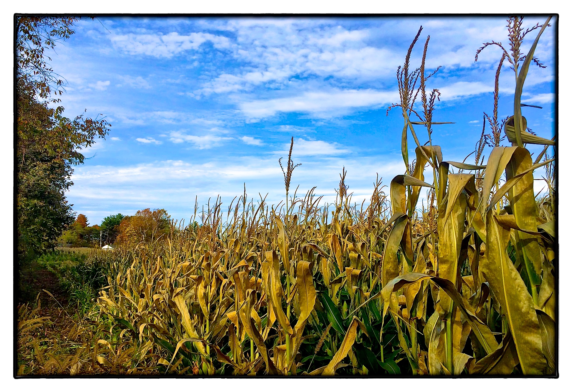
Silo Corn

Neighborhood Fence IV

The Morning After the Night Before

The Mulchman Cometh

November Snow
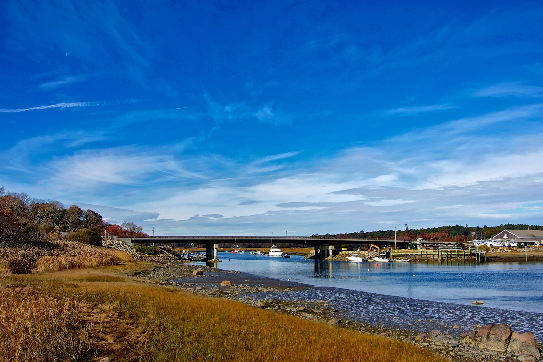
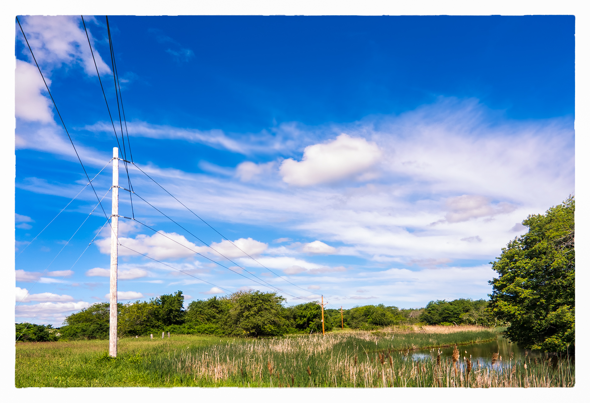
North River

Anemone hupehensis (var. japonica)

Another shot of D.W. In the afternoon
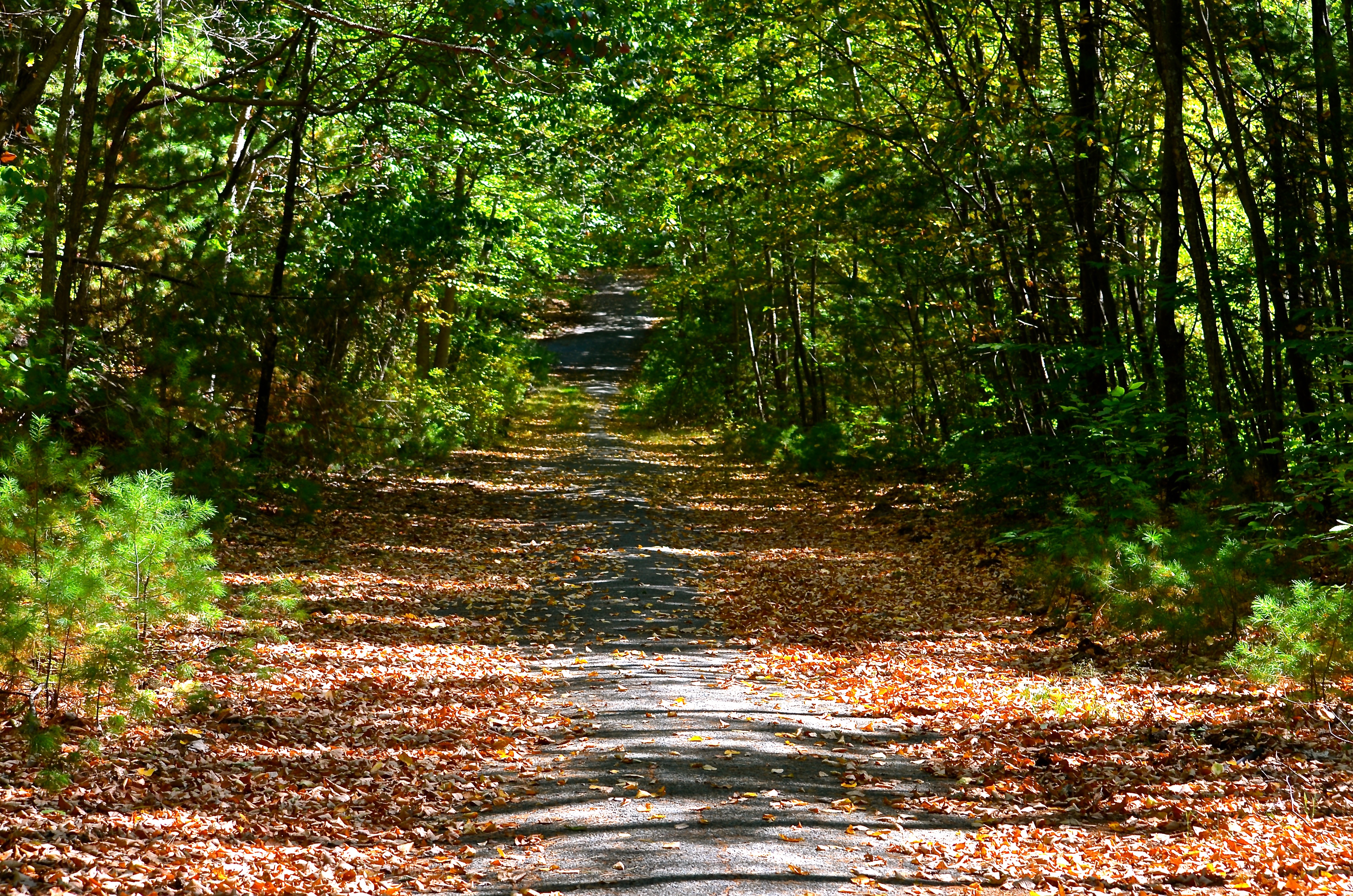
North River Wildlife Sanctuary
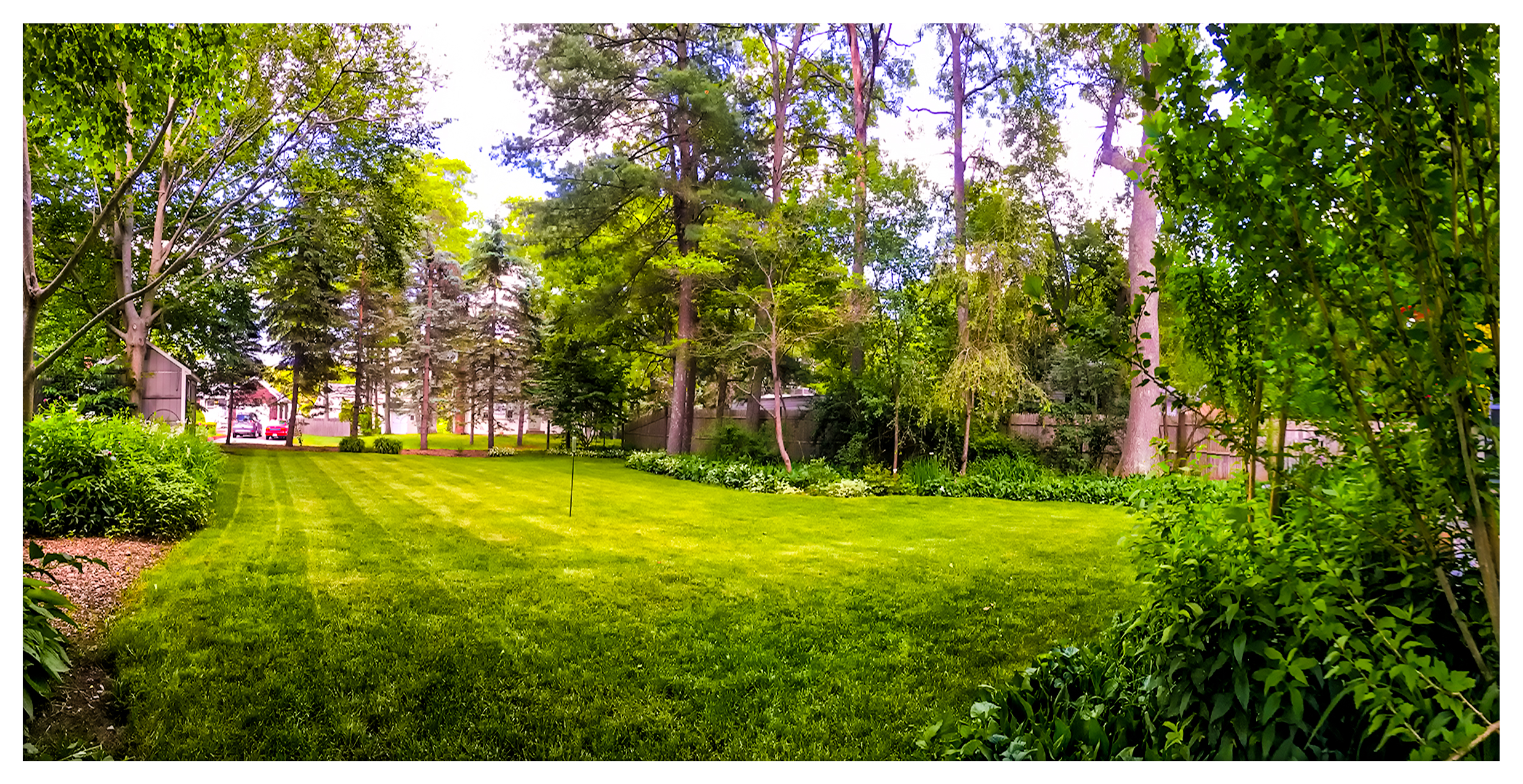
Freshly Mowed

7 Barstow Rockland JPEGS-14

The Side of the Road
Down the Line

Fence and Fence
7 Barstow Ln Desat-29

The Tower

Swamp # 2
7 Barstow Rockland JPEGS-13

????
Wompatuck State Park, Massachusetts

Summer 2018
Topographic Map of 49 Richard Rd, Hanson, MA, USA
Find elevation by address:

Places near 49 Richard Rd, Hanson, MA, USA:
46 Jay St
Hanson
159 Lakeside Rd
1 Camp Kiwanee Rd, Hanson, MA, USA
Hanson
600 E Washington St
Hanson
182 High St
12 Belle Rd, Pembroke, MA, USA
102 High St
40 Indian Trail
100 Cross St
95 Phillips Rd
Spring St, Hanson, MA, USA
48 High St
991 Broadway
475 Center St
74 Standford Hill Rd
47 Sharon Dr
88 Plymouth St
Recent Searches:
- Elevation of Corso Fratelli Cairoli, 35, Macerata MC, Italy
- Elevation of Tallevast Rd, Sarasota, FL, USA
- Elevation of 4th St E, Sonoma, CA, USA
- Elevation of Black Hollow Rd, Pennsdale, PA, USA
- Elevation of Oakland Ave, Williamsport, PA, USA
- Elevation of Pedrógão Grande, Portugal
- Elevation of Klee Dr, Martinsburg, WV, USA
- Elevation of Via Roma, Pieranica CR, Italy
- Elevation of Tavkvetili Mountain, Georgia
- Elevation of Hartfords Bluff Cir, Mt Pleasant, SC, USA