Elevation of 48 Schuyler Rd, Keeseville, NY, USA
Location: United States > New York > Essex County >
Longitude: -73.417351
Latitude: 44.485879
Elevation: 38m / 125feet
Barometric Pressure: 101KPa
Elevation Map:
Satellite Map:
Related Photos:
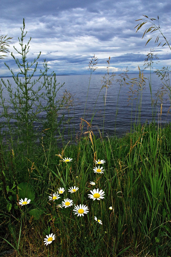
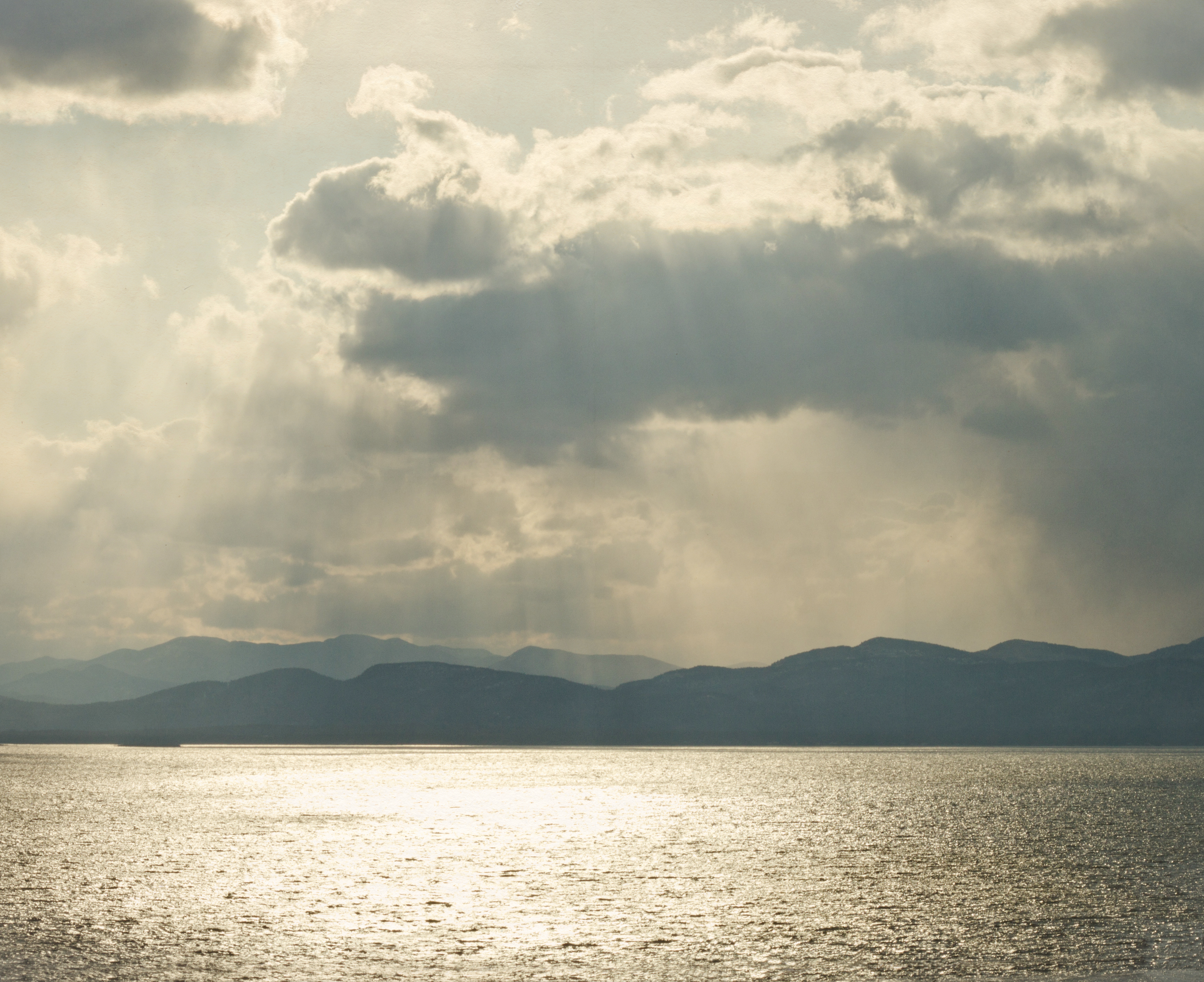
Champlain Dreams
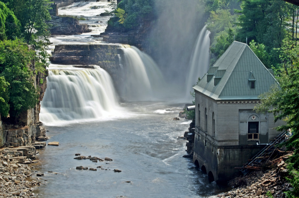
Rainbow Falls
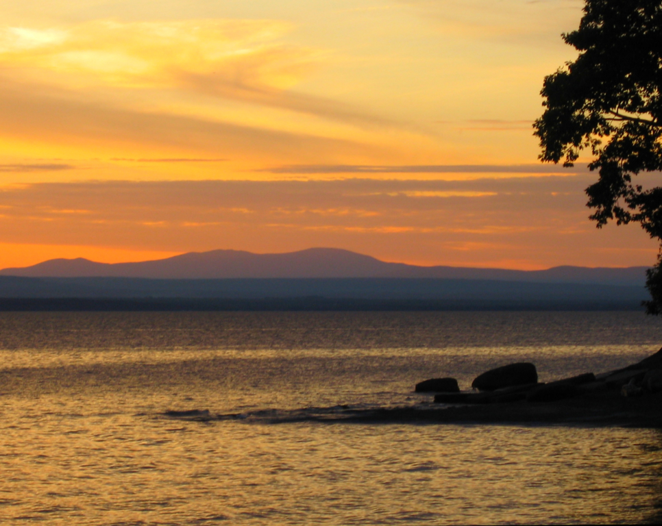
Vermont Sunset, Emmy's Beach
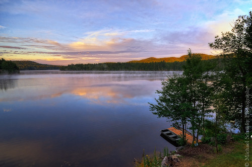
Long Pond - Willsboro, New York
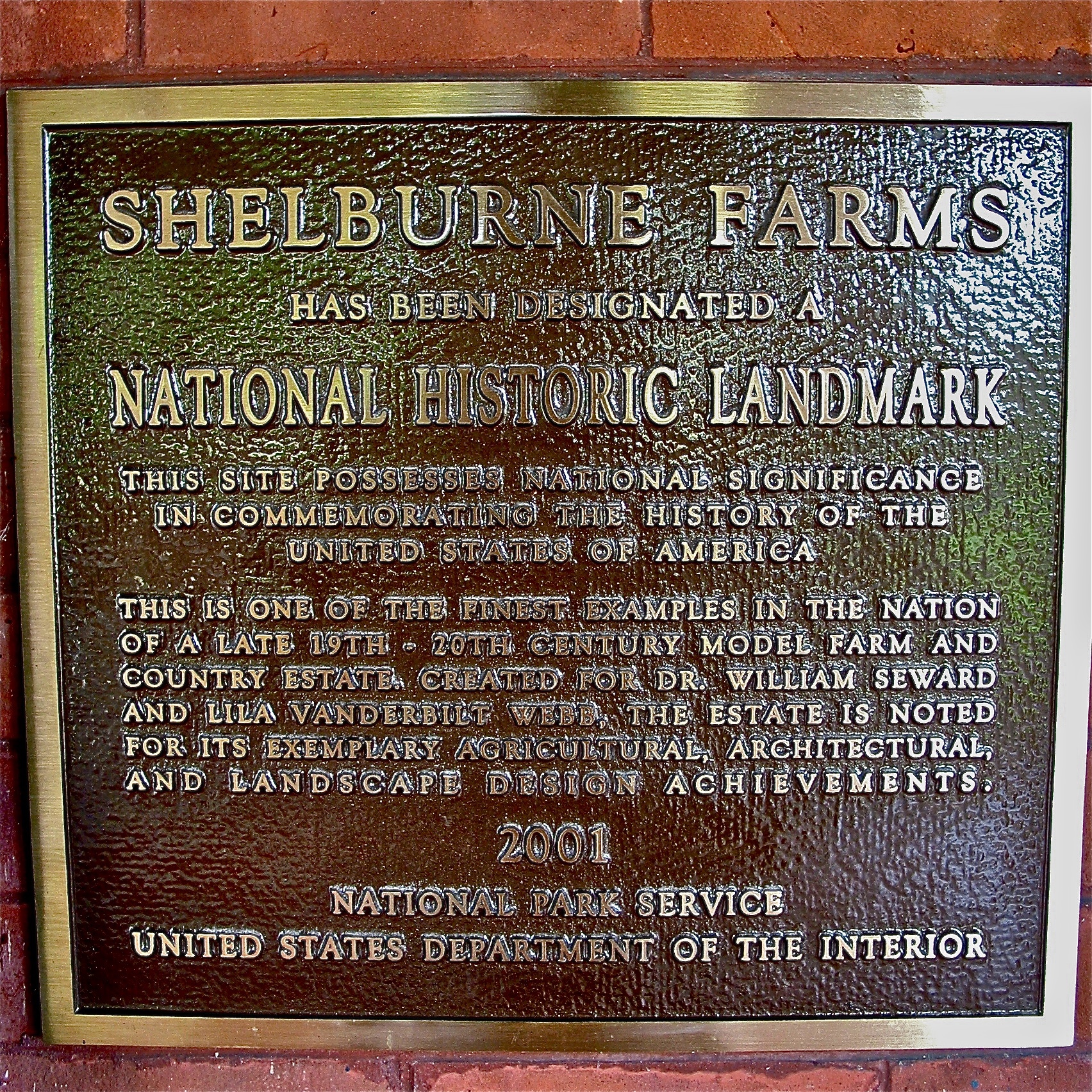
Shelburne Farms (1886) – National Historic Landmark plaque
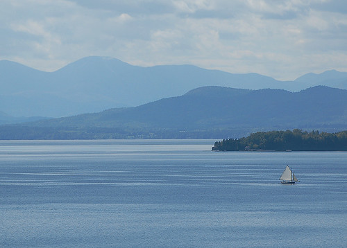
Lake Champlain
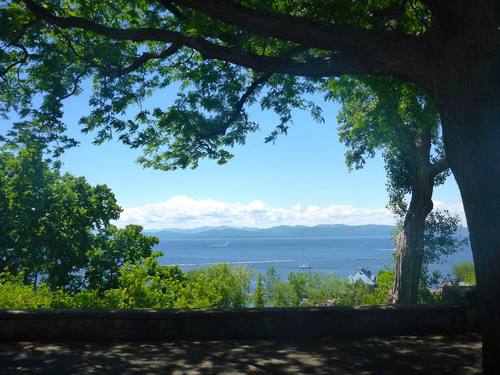
morning view of the lake
I've gotten used to this view with my morning tea
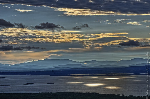
mountains majestic
Au Sable River - Adirondack

Shelburne Farms (1886) – Shelburne House (1899) - library

A view from the Colchester Causeway rec path on Sunday. #btv
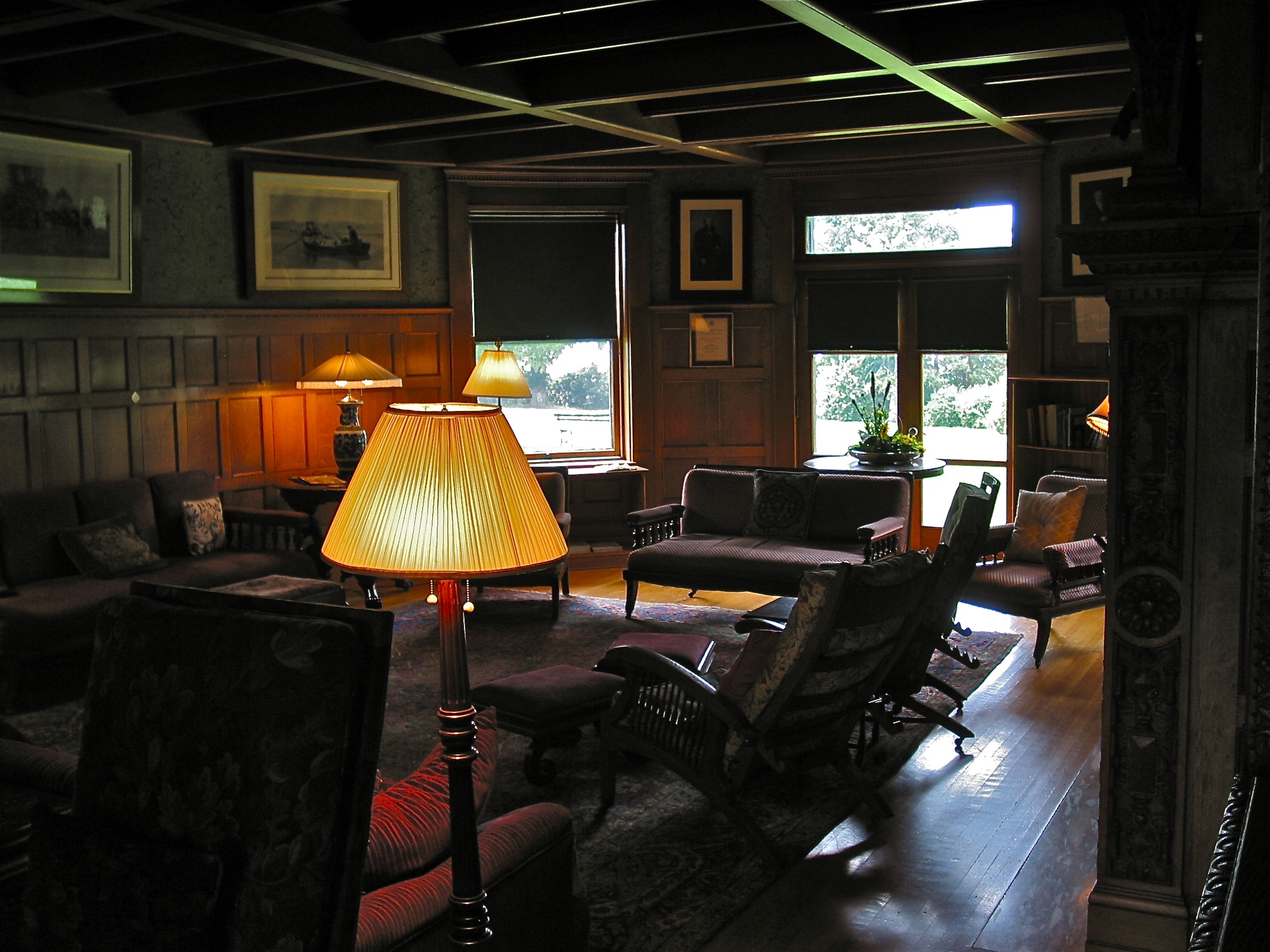
Shelburne Farms (1886) – Shelburne House (1899) - library
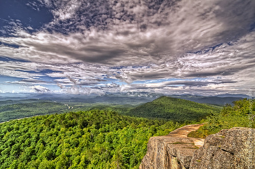
Adirondacks - Pokamoonshine Mountain
Just a Half
TrackHead Studios - Lake Champlain
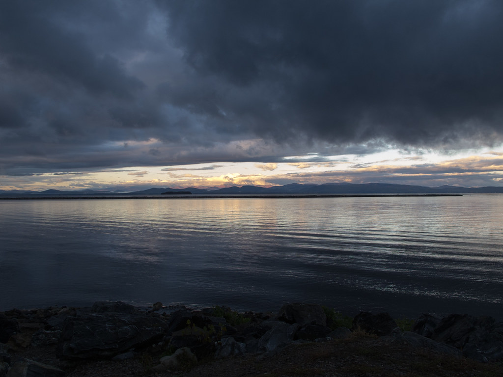
Morning Light over Lake Champlain

Hands down, the most amazing bike path I've ever been on. Breathtaking views.

Keeseville, NY

Lake View #btv
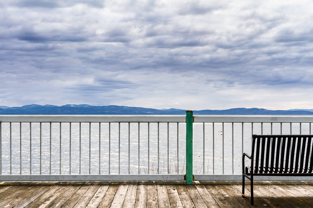
Shoreline View
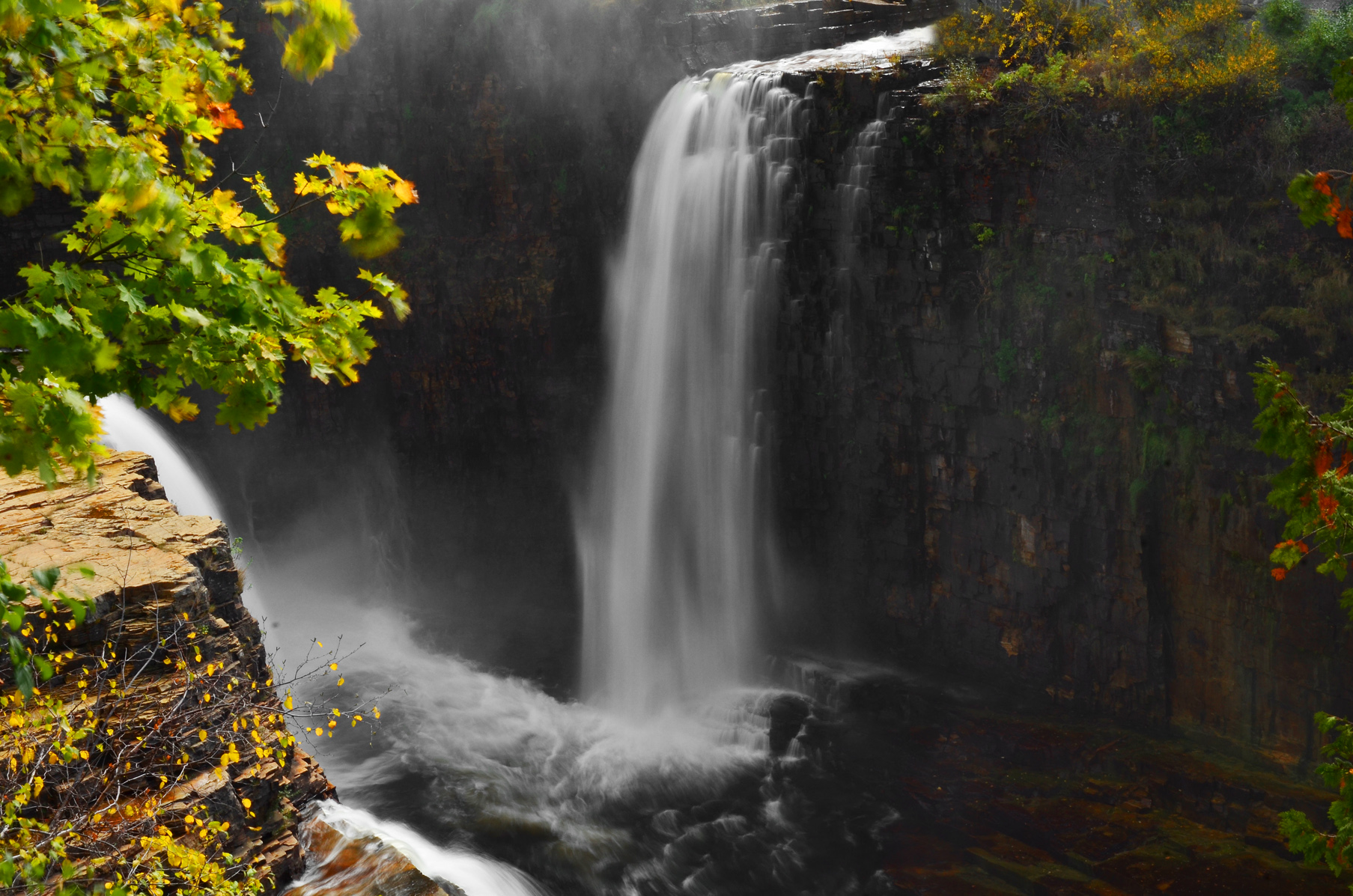
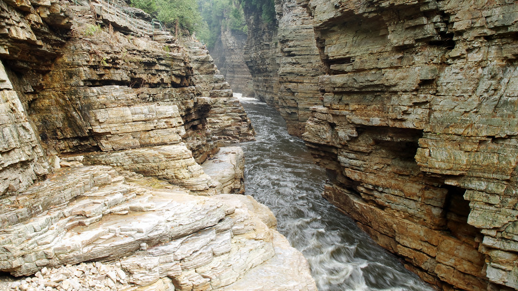
Ausable Chasm, NY Rainbow Falls
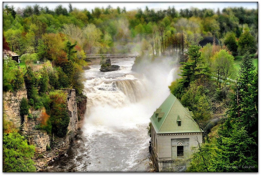
Ausable Chasm
Lake Champlain
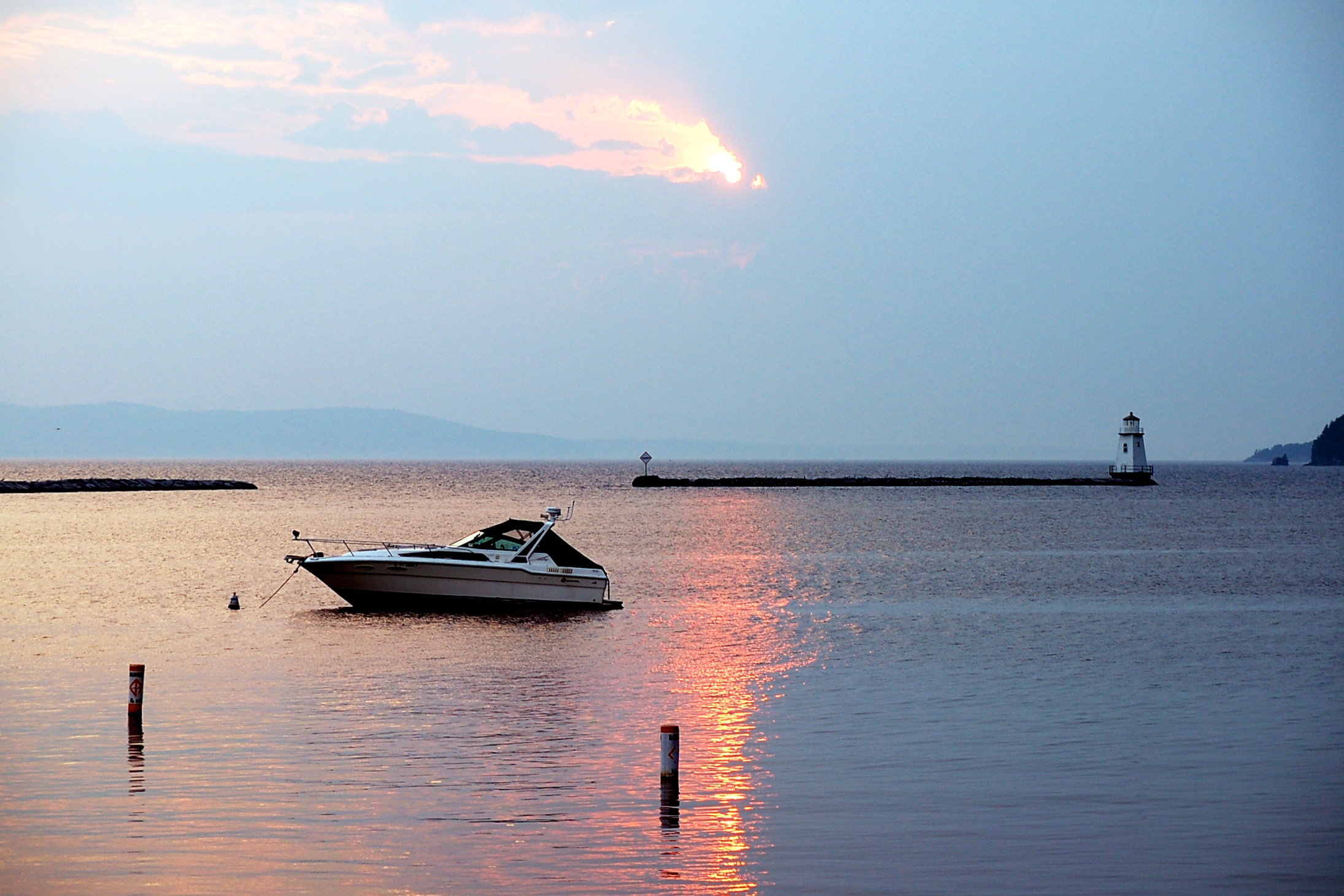
Burlington Sunrise
golden sunset
Standing on Lake Champlain
Ausable Chasm
Primal Dance #2

primal dance
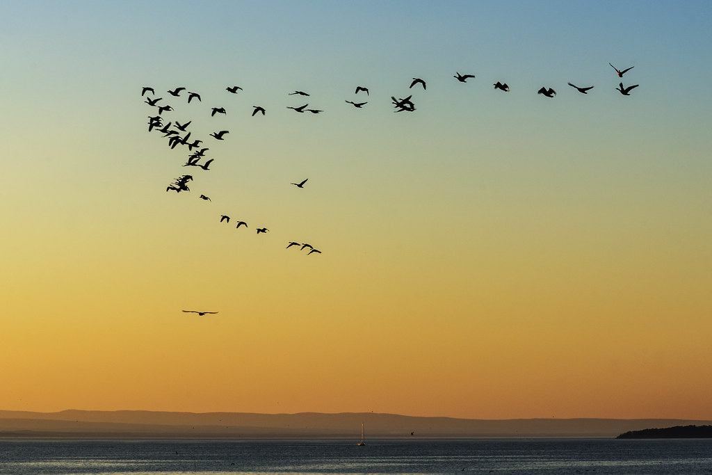
Flying South
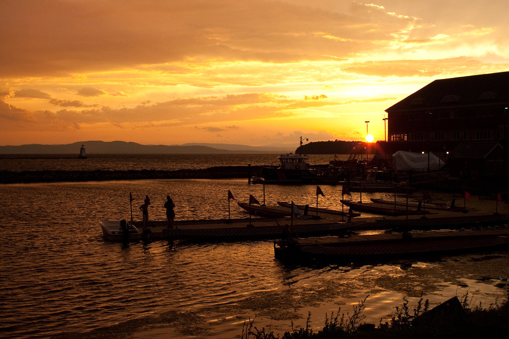
Burlington Waterfront

Leddy Park

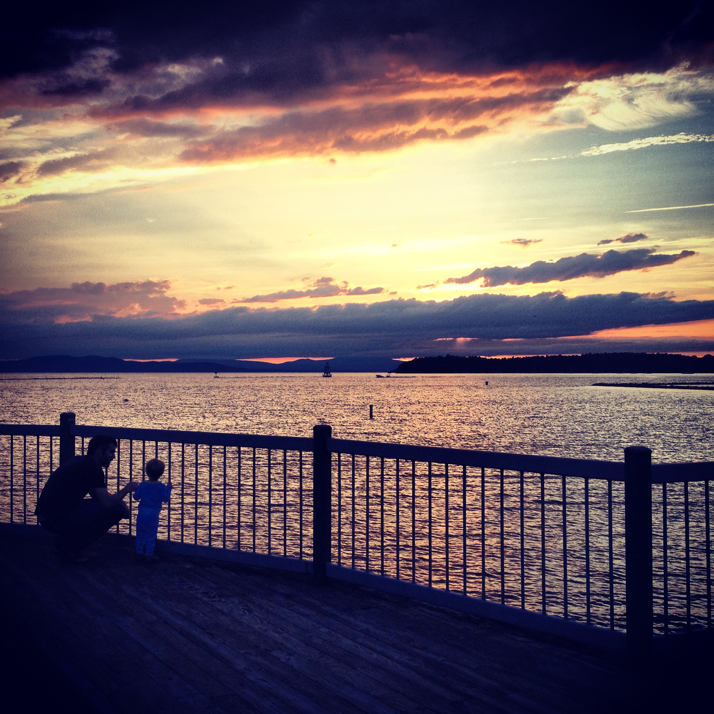
Father and Son
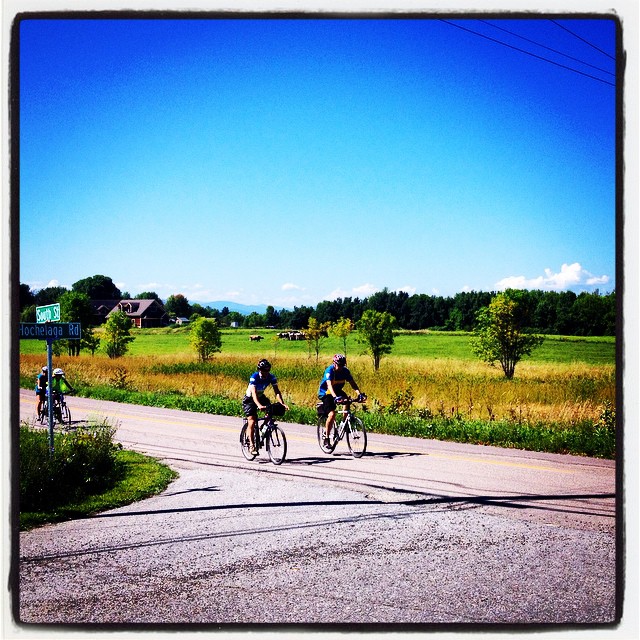
Some other cyclists exploring South Hero, Vermont on a perfect summer day. #bicycle #bikepath #vt #vermont #lakechamplain #farmland
Ooooo...
Forest path

Stunning sunset colors over the Adirondacks at #btvinstameet
Topographic Map of 48 Schuyler Rd, Keeseville, NY, USA
Find elevation by address:

Places near 48 Schuyler Rd, Keeseville, NY, USA:
67 Virgina Dr
12 Lumber St, Port Kent, NY, USA
Keeseville, NY, USA
Ausable Chasm
U.S. 9, Au Sable Forks, NY, USA
40 Division St
80 Plains Rd
Lake Champlain
83 Landing Ave
259 Appletree Point Rd
165 Cumberland Rd
14 Elderberry Ln
429 Northgate Rd
1561 Porters Point Rd
Malletts Bay
New North End
Lone Rock Point
Unnamed Road
4 Whipple Rd
Thayer Bay Rd, Colchester, VT, USA
Recent Searches:
- Elevation of Corso Fratelli Cairoli, 35, Macerata MC, Italy
- Elevation of Tallevast Rd, Sarasota, FL, USA
- Elevation of 4th St E, Sonoma, CA, USA
- Elevation of Black Hollow Rd, Pennsdale, PA, USA
- Elevation of Oakland Ave, Williamsport, PA, USA
- Elevation of Pedrógão Grande, Portugal
- Elevation of Klee Dr, Martinsburg, WV, USA
- Elevation of Via Roma, Pieranica CR, Italy
- Elevation of Tavkvetili Mountain, Georgia
- Elevation of Hartfords Bluff Cir, Mt Pleasant, SC, USA