Elevation of 48 Bonita Ct, Waynesville, NC, USA

Location: United States > North Carolina > Haywood County > Waynesville > Waynesville >

Longitude: -83.065750

Latitude: 35.5688328

Elevation: 1125m / 3691feet

Barometric Pressure: 89KPa

Elevation Map:

elevation map of 48 Bonita Ct, Waynesville, NC, USA
Satellite Map:

Satellite map of 48 Bonita Ct, Waynesville, NC, USA

Related Photos:

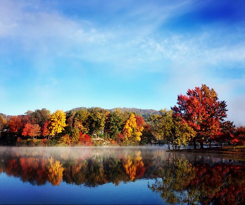
morning bridge trees sky sun mist fall water leaves fog clouds sunrise reflections colorful seasons footbridge northcarolina brilliant lakejunaluska itsakeeper img13831 debbiefrileyphotography debbiefrileyphotograhy ohthatmorninglight
An EXTRAORDINARY View!
kurtpeiserexcellence
Cataloochee Elk-GSMNP
longexposure blue ridge mountains falls stream river fall autumn northcarolina
Soco Falls
wood mountains green barn forest canon nationalpark moss farm northcarolina historic hdr greatsmokymountains cataloochee canon60d flutterbye216
Palmer Barn Door
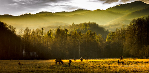
autumn northcarolina elk grazing i40 pigeonriver greatsmokymountainsnationalpark cataloochee balsammountains
Elk Grazing in Little Cataloochee
valley cataloochee caldwellplace smokies northcarolina waynesville unitedstatesofamerica us
Cataloochee Creek
butterfly insect nc northcarolina fields mariposa smokies schmetterling greatsmokymountains greatsmokymountainsnationalpark gsmnp farfalle trailside inthewild cataloocheevalley jennypansing
225e red spotted purple
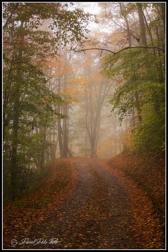
heintoogaroundbottomroad eriefog fall fallcolors mist mistyroad
Bears In The Mist ?
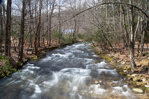
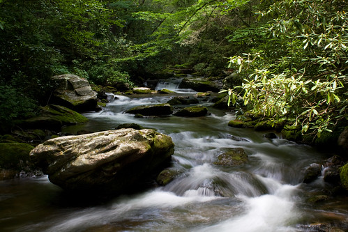
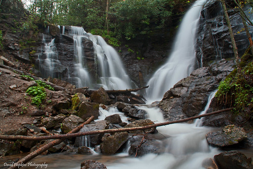
longexposure green water nc moss rocks stream hiking northcarolina hike greatsmokymountainsnationalpark cataloocheevalley haywoodcounty palmercreek davidhopkinsphotography
Palmer Creek Cascades
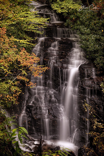
longexposure nature waterfall nikon northcarolina cascades cherokee hdr photomatix tonemapped cherokeenation nikond90 diamondclassphotographer flickrdiamond socofalls
Soco Falls ( 5 Views ) - North Carolina
travel sunset mountains forest nationalpark tour view unitedstates cloudy tennessee northcarolina smokymountains smokymountainsnationalpark
Waterrock Knob Sunset
blueridgemountains blueridgeparkway northcarolina nc haywoodcounty jacksoncounty appalachianmountains plottbalsammountains greatsmokymountainsnationalpark smokies nature mountains elevation trees blue westernnorthcarolina brp clouds skyline horizon city trail hiking landscape us usa unitedstatesofamerica park southeast maggievalley cherokee forest tree sky
Cherokee from Waterrock Knob, Blue Ridge Parkway, Isaiah 40:22
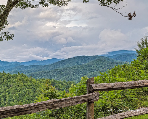
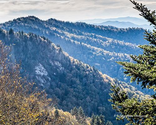
augphotoimagery fence mountains nature outdoors scenic waynesville northcarolina unitedstates
Cataloochee Valley View Over Fence
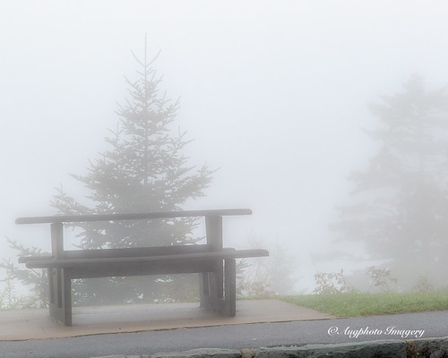
augphotoimagery blueridgeparkway fog foggy haze mist misty muted nature outdoors picnictable trees maggievalley northcarolina unitedstates
Hindered View
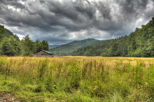
sky tree field grass clouds forest canon cabin northcarolina historic hdr cataloochee photomatix canon60d flutterbye216
Cabin in the Field
geotagged nikon northcarolina cherokee hdr blueridgeparkway photomatix tonemapped d80 dougjohnson lickstone lickstoneridge geo:lat=35509618 geo:lon=83188787 bigjohnsonphotoblogspotcom
Lickstone Ridge Overlook in HDR
mountains wet water forest waterfall nc rocks northcarolina falls fisheye foliage waterfalls nik hdr topaz smokeymountains maggievalley photomatix tonemapped vivenza ncwaterfalls hdraddicted socofalls
Soco Falls (Lower View)
cataloochee valley great smoky mountains north carolina
Cataloochee Creek
augphotoimagery blueridgeparkway landscape mountains nature outdoors scenic trees sylva northcarolina unitedstates
Mountain View
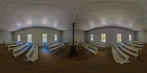
equirectangular 360degree 360x180 gsmnp greatsmokymountains nationalpark northcarolina church historic appalachia
Little Cataloochee Baptist Church 1889 - open on PC for 360 view
sunset mountain nikon northcarolina blueridgemountains hdr blueridgeparkway landsacpe photomatix waterrockknob tonemapped nikond90 waterrockknobsummittrail
A High Trail.
blue light red sky orange sun sunlight mountain mountains color fall nature colors leaves yellow clouds canon fun photography photo october flickr day shadows purple image cloudy tennessee ngc northcarolina soe smokymountains geodata
Sunlight Dancing On The Mountain's Edge
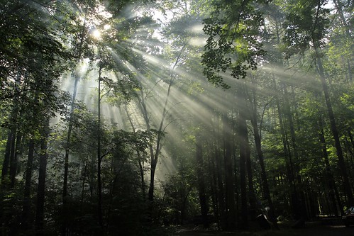
camping trees light sunlight canon eos northcarolina filtering explored 60d canon60d canoneos60d flutterbye216
Sunlight in the Trees
sunset fog northcarolina september blueridgeparkway 2012 waterrockknob greatsmokiemountains
Sunset at Waterrock Knob - Explored
morning light forest canon eos northcarolina streams campground smokymountains cataloochee explored 60d canon60d canoneos60d flutterbye216
Light in the Forest
blueridgeparkway landscape trees nationalgeographic clear day pwfall blinkagain fall foilage autumn
North Carolina - Blue Ridge Parkway
trees cold water forest canon eos nationalpark woods rocks stream northcarolina clear shade greatsmokymountains explored 60d canon60d canoneos60d flutterbye216
Icy Mountain Stream
mountains fog sunrise northcarolina valley smokies smokymountains
Mountain Mornings
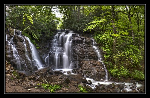
longexposure creek nc rocks stream northcarolina jacksoncounty socofalls waterfallphotography davidhopkinsphotography
Soco Falls
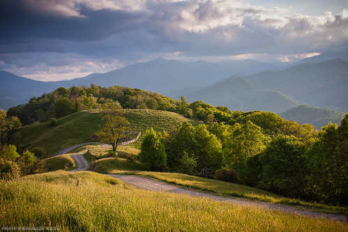
sunlight mountains clouds meadow northcarolina pasture backroad smokies smokymountains countryroad blueridge gravelroad appalachianmountains
Golden Pasture
morning autumn mountain sunrise greatsmokymountains gsmnp sonyilce7r sel2470z
Outlook on Life
Valley Fog From Waterrock Knob
sunset blueridgeparkway smokymountains nikond3 carlosmolina 200400f4 fall2010 carlosmolinaphoto
Blue Ridge Parkway
bridge autumn trees lake fall leaves reflections footbridge northcarolina lakejunaluska waynesville junaluska turbeville haywoodcounty img4394212345 santapleasebringmeawideanglelens
from here to there
augphotoimagery blueridgeparkway nature outdoors trees qualla northcarolina unitedstates
Cloud and Color
bw mountain fog clouds
Maggie Valley NC
Near Maggie Valley, NC
These cell phone cameras are just too good! Blue Ridge Parkway
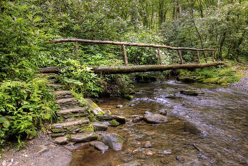
summer canon eos nationalpark woods footbridge northcarolina hike explore trail greatsmokymountains cataloochee logbridge explored 60d canon60d canoneos60d flutterbye216
Bridge in the Woods