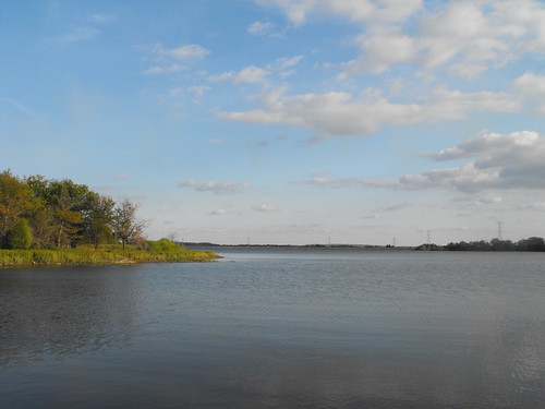
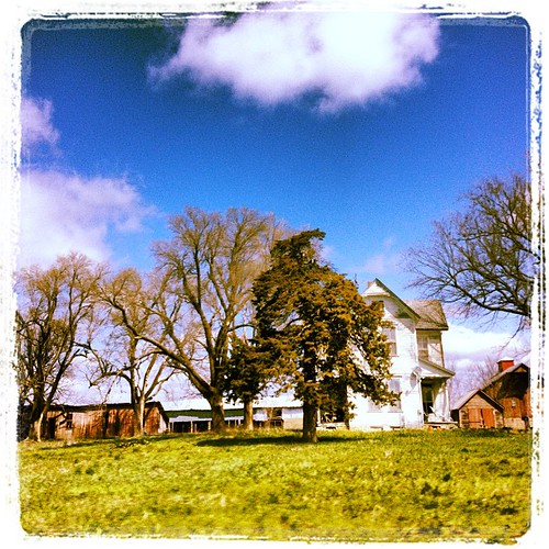
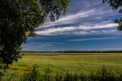
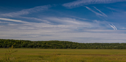
Elevation of 46 NE Lakeside Dr, Lacygne, KS, USA
Location: United States > Kansas > Linn County > Lincoln > Lacygne >
Longitude: -94.822691
Latitude: 38.2916
Elevation: 282m / 925feet
Barometric Pressure: 98KPa
Related Photos:
Topographic Map of 46 NE Lakeside Dr, Lacygne, KS, USA
Find elevation by address:

Places near 46 NE Lakeside Dr, Lacygne, KS, USA:
Scott
Prairie View
613 E Market St
Lacygne
Robertson Rd, Lacygne, KS, USA
21574 Taylor Rd
Lincoln
Linn Valley
Valley
Main St, Pleasanton, KS, USA
Mound City
Linn County
Main St, Pleasanton, KS, USA
Pleasanton
Sugar Valley & Hidden Valley Lakes
W Main St, Parker, KS, USA
Parker
Mound City
Centerville
4650 W 1600th Rd
Recent Searches:
- Elevation of Corso Fratelli Cairoli, 35, Macerata MC, Italy
- Elevation of Tallevast Rd, Sarasota, FL, USA
- Elevation of 4th St E, Sonoma, CA, USA
- Elevation of Black Hollow Rd, Pennsdale, PA, USA
- Elevation of Oakland Ave, Williamsport, PA, USA
- Elevation of Pedrógão Grande, Portugal
- Elevation of Klee Dr, Martinsburg, WV, USA
- Elevation of Via Roma, Pieranica CR, Italy
- Elevation of Tavkvetili Mountain, Georgia
- Elevation of Hartfords Bluff Cir, Mt Pleasant, SC, USA
