Elevation of 42 Pribylina, Slovakia
Location: Slovakia > Žilina Region > Liptovský Mikuláš District >
Longitude: 19.7966327
Latitude: 49.0979056
Elevation: 805m / 2641feet
Barometric Pressure: 92KPa
Elevation Map:
Satellite Map:
Related Photos:

Rohace at Dawn, 4:32 AM
Morning in Rohace II

Slovakia, Západné Tatry Mts.

On the right trail

Slovakia, Západné Tatry Mts.
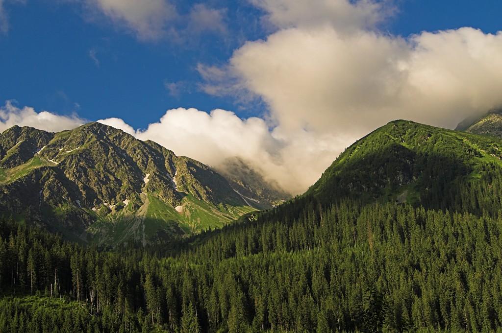
Kominiarski Wierch - Patchwork
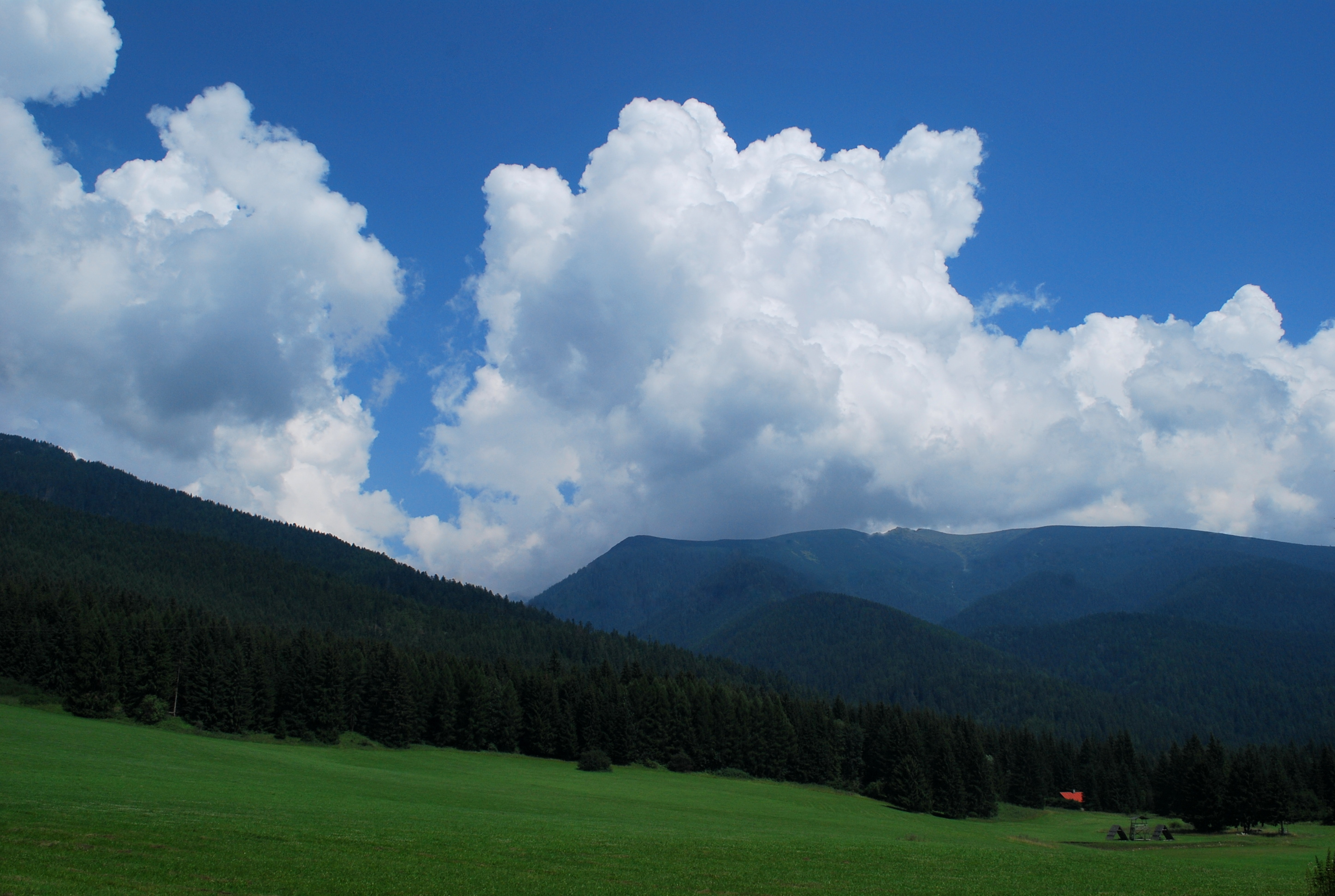
Clouds, near LM
1503 Červenec

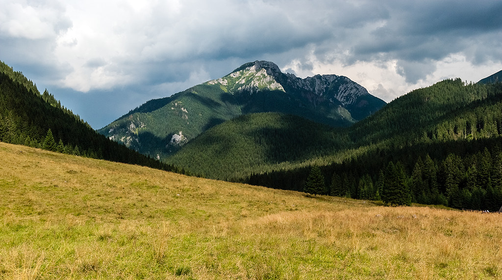
View on the Starorobociański Wierch

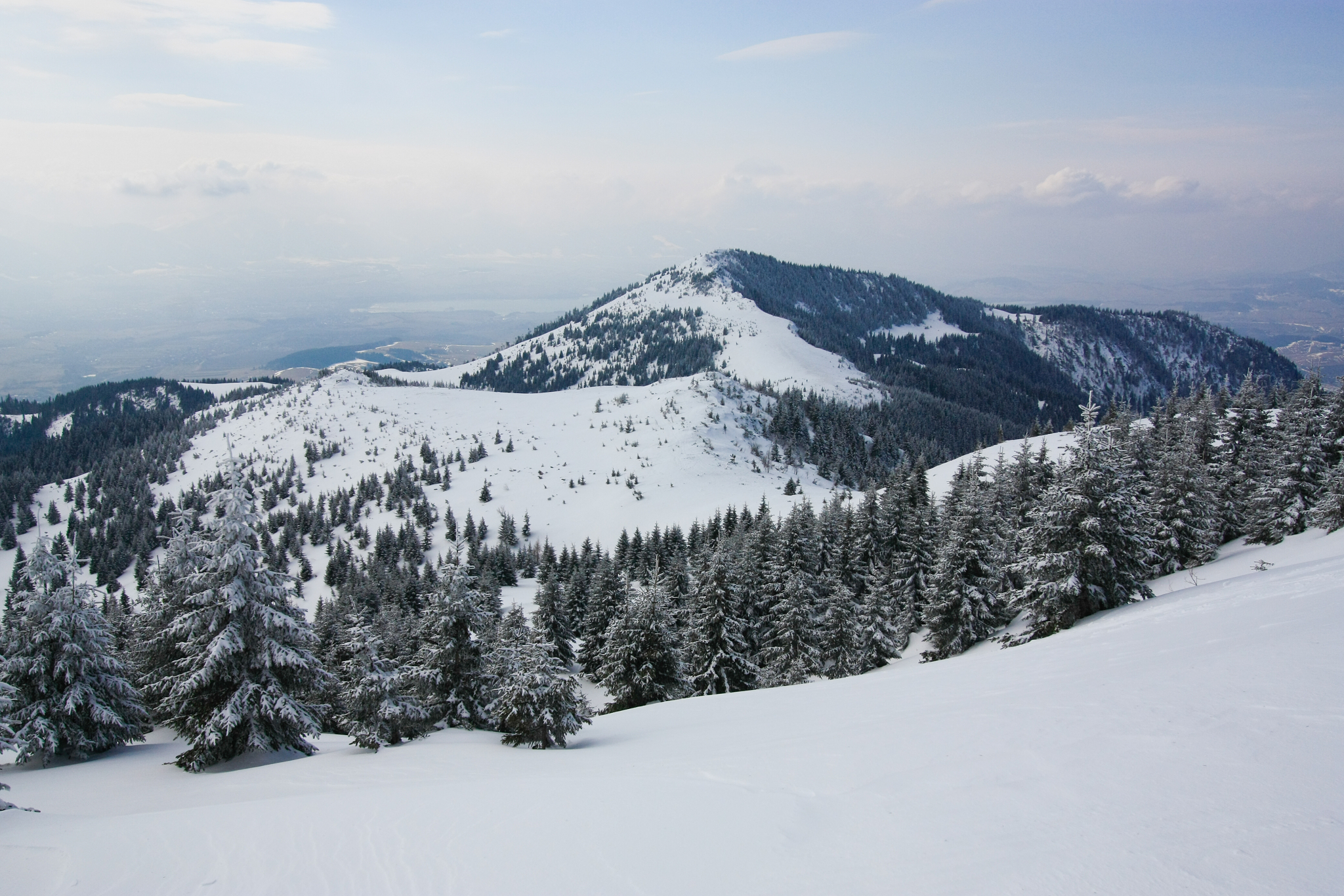
View from Kriváň
Topographic Map of 42 Pribylina, Slovakia
Find elevation by address:

Places near 42 Pribylina, Slovakia:
Tatra Mountains
Szlak Pieszy Czarny
Závadka Nad Hronom
Heľpa
Rysy
Tatra National Park
Poprad District
Liptovská Teplička
Pohorelá
High Tatras
Gerlachovský štít
Vysoké Tatry
Lomnický štít
Slovakia
Slovakia Hotel
Tatranská Lomnica
Tatranská Lomnica
Tatranská Lomnica 8
Poprad
Hrabušice
Recent Searches:
- Elevation of Corso Fratelli Cairoli, 35, Macerata MC, Italy
- Elevation of Tallevast Rd, Sarasota, FL, USA
- Elevation of 4th St E, Sonoma, CA, USA
- Elevation of Black Hollow Rd, Pennsdale, PA, USA
- Elevation of Oakland Ave, Williamsport, PA, USA
- Elevation of Pedrógão Grande, Portugal
- Elevation of Klee Dr, Martinsburg, WV, USA
- Elevation of Via Roma, Pieranica CR, Italy
- Elevation of Tavkvetili Mountain, Georgia
- Elevation of Hartfords Bluff Cir, Mt Pleasant, SC, USA