Elevation of 42 Debbie Dr, Pocatello, ID, USA
Location: United States > Idaho > Bannock County > Pocatello >
Longitude: -112.47838
Latitude: 42.8608336
Elevation: 1467m / 4813feet
Barometric Pressure: 85KPa
Elevation Map:
Satellite Map:
Related Photos:

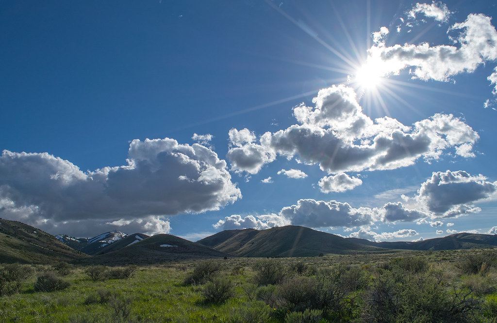
Toward the Snake River Plain from the Pocatello Range foothills

In the sagebrush-steppe w/juniper. Eastern Idaho.
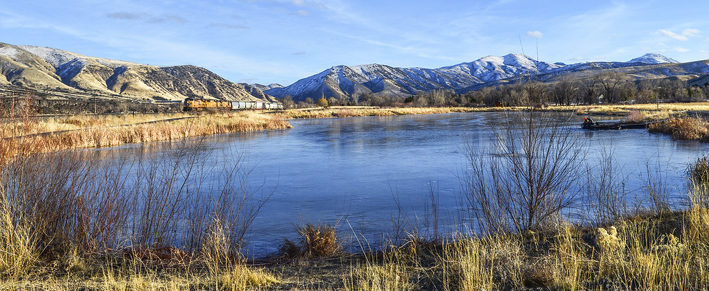
The fishing pond at Edson Fichter Nature Area

Hall of Yesterdays

Mom's Flowers
#amazing #natural #view of #pocatello #idaho #rain #beautiful #weather

Fee-fi-fo-fum

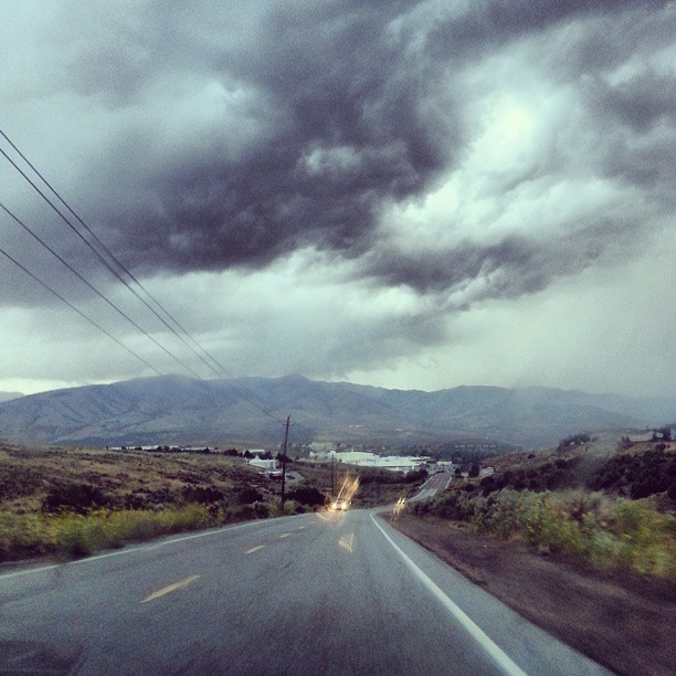
Clouds at Portneuf Gap

You are not forgotten
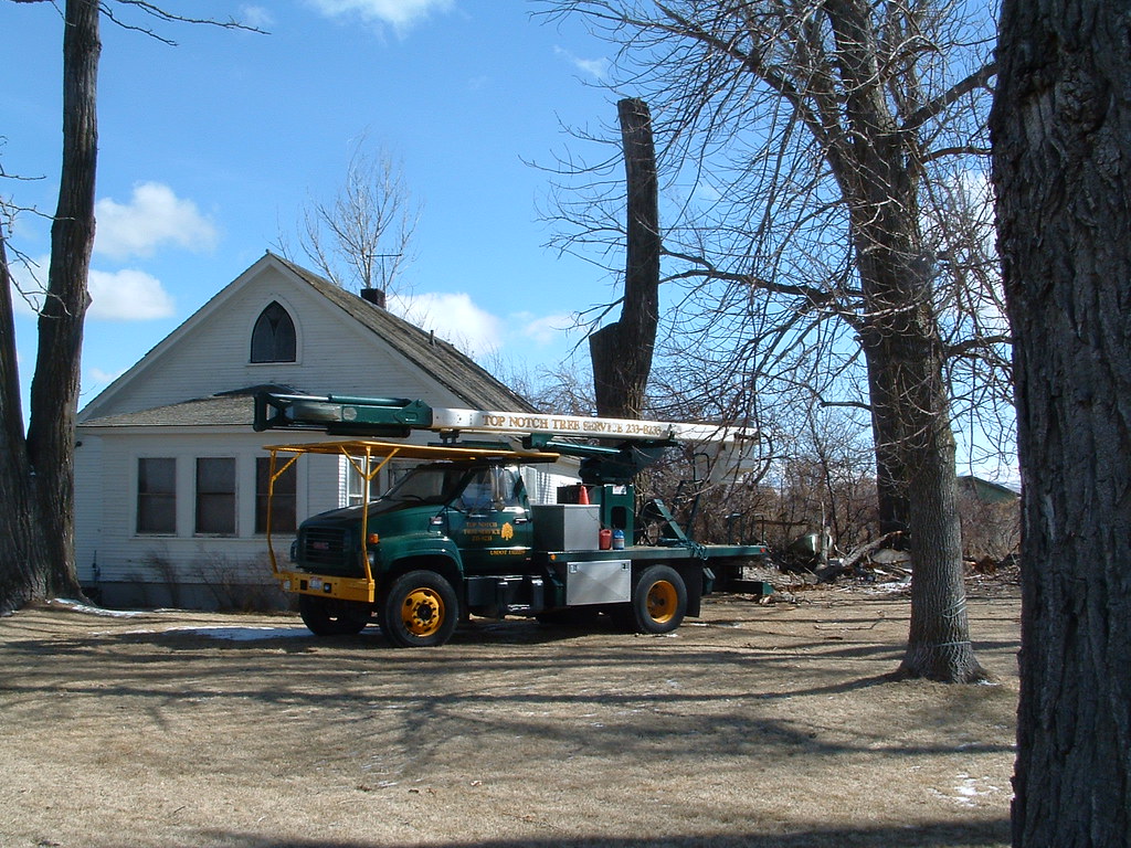
Tree Removal 2

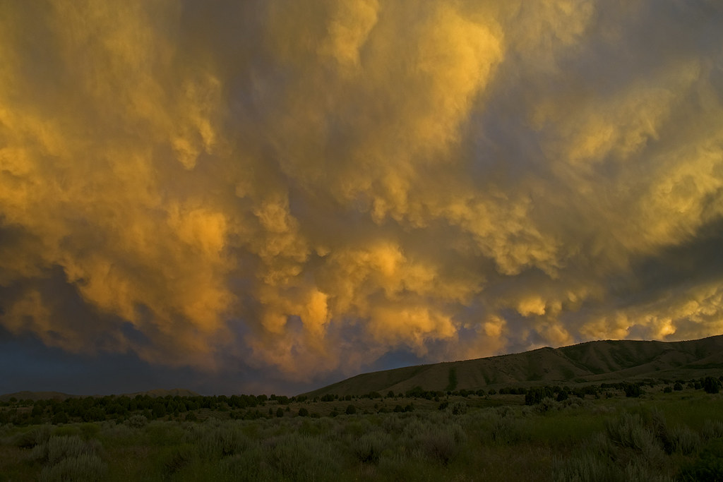
Sunset clouds over Pocatello, Idaho. May 2017

Ruth Jan 23 (1 of 4)

Another view of my work station. The cookie sheet and antenna are perched on the back end of the 4-wheeler.
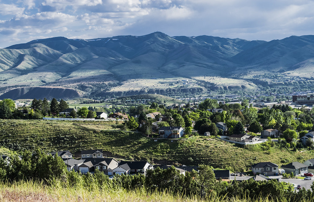
View across south Pocatello. From slope on Chinese Mountain

November sunset at Pocatello, Idaho

A windy late winter day in the Portneuf River bottoms
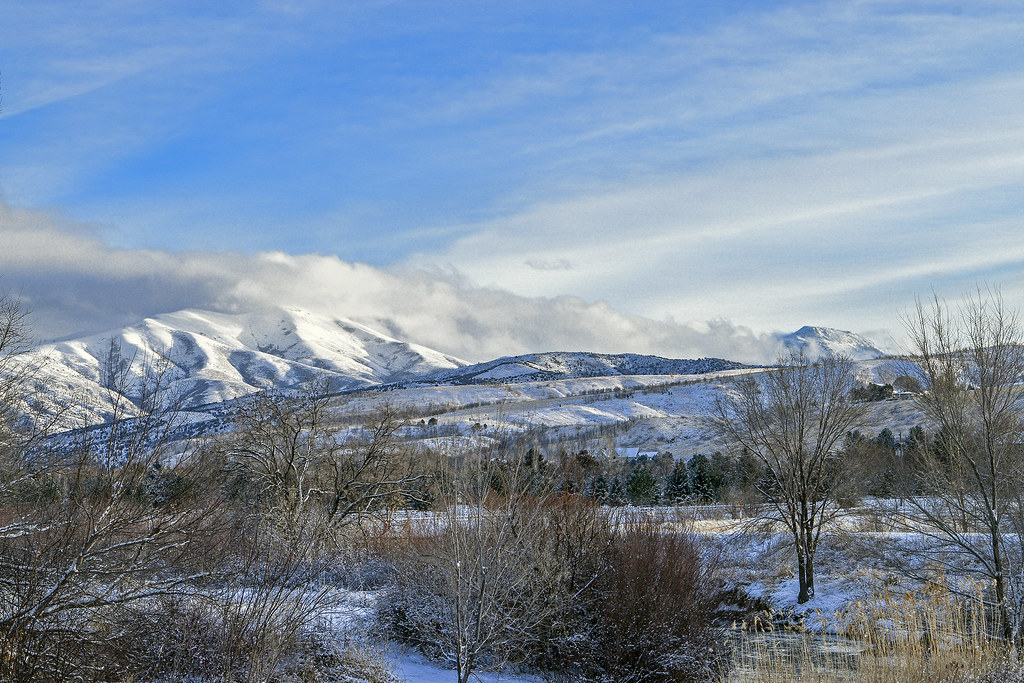
Winter near the Portneuf River

City Creek - Idaho

Clouds over the south end of Pocatello, Idaho
To the west across Pocatello, Idaho. Toward the Bannock Range mountains
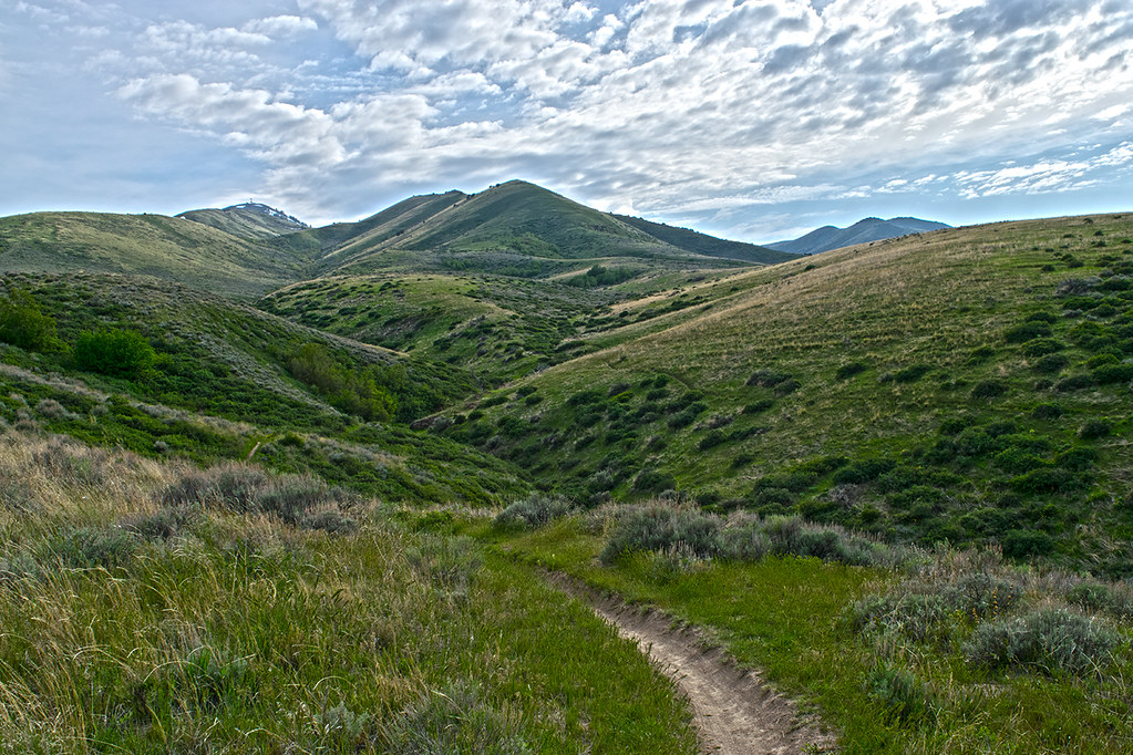
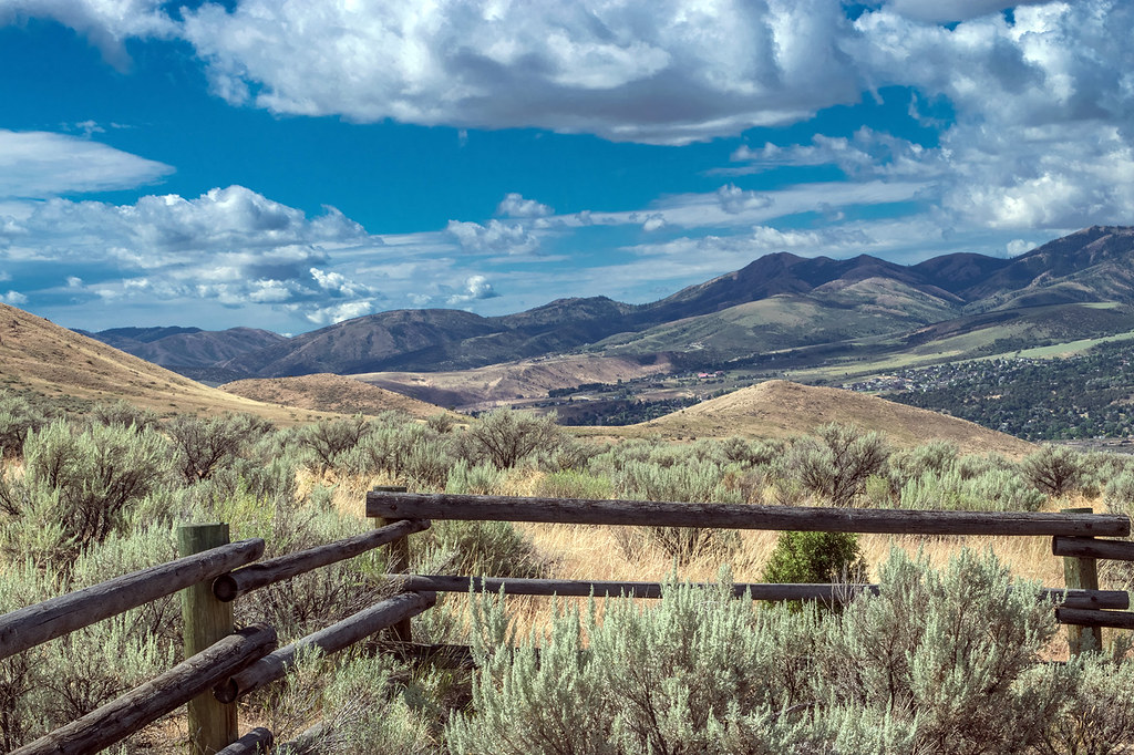
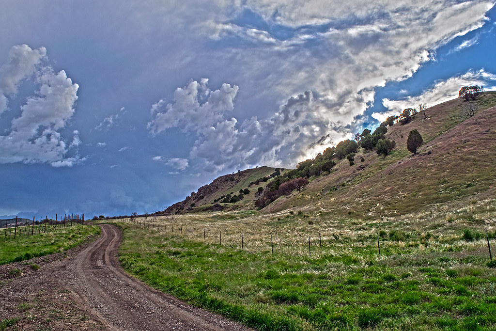
Springtime in the foothills of the Bannock range mountains
Snow flurries at sunset. Fort Hall Indian Reservation.
Brilliant sun from the West Bench. Pocatello, Idaho

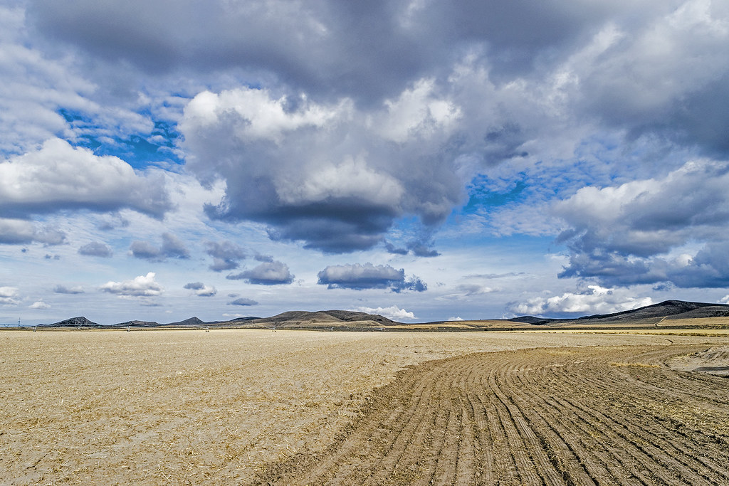
Farmland 2012
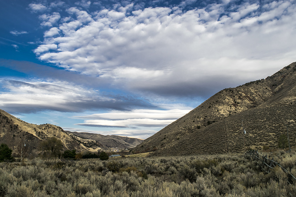
Clouds above Portneuf Gap. Pocatello, Idaho
Clouds over the Snake River Plain just north of Pocatello, Idaho
Sunset clouds over the West Bench at Pocatello, Idaho
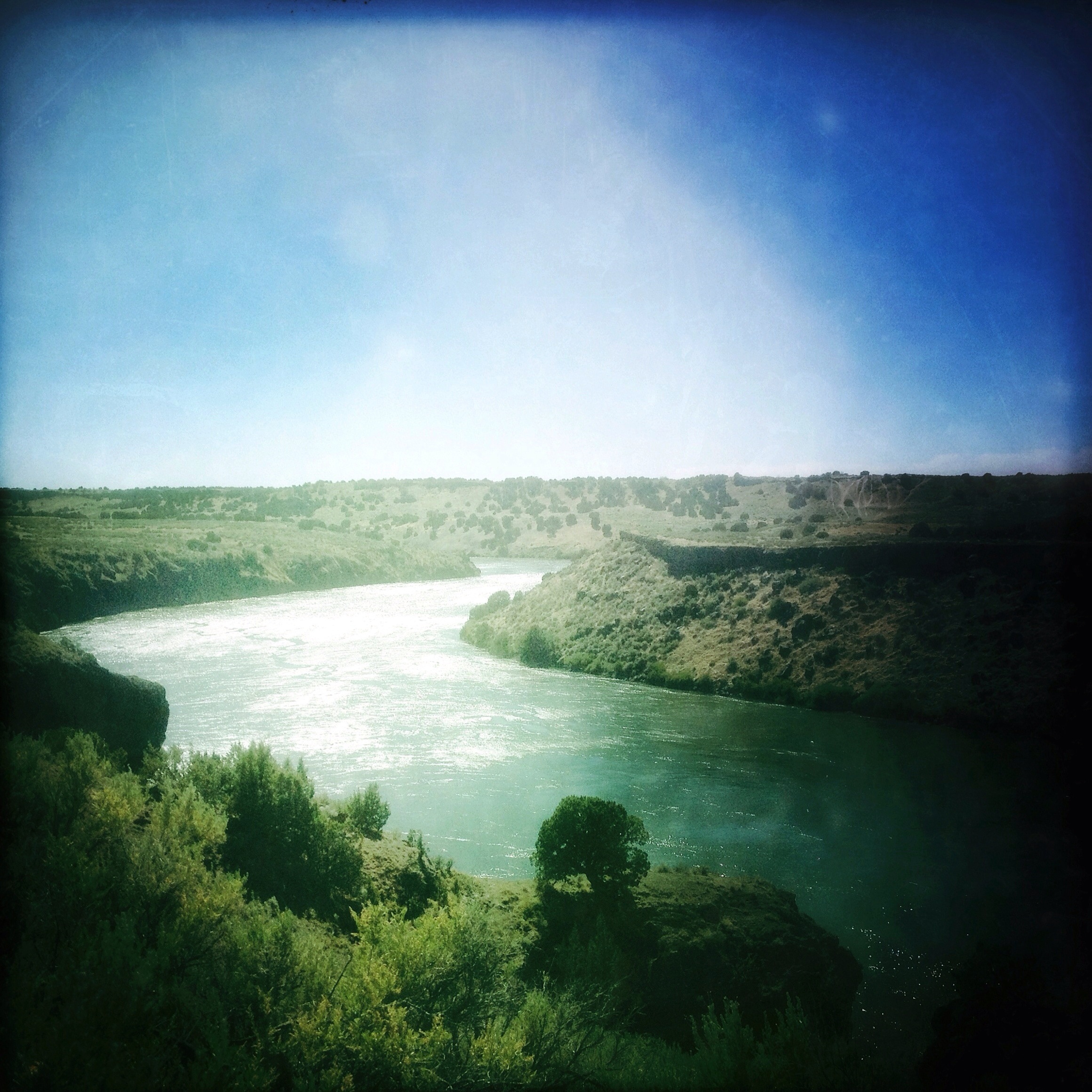
Snake River at Massacre Rocks State Park | American Falls, ID
Under the cloud at Portneuf Gap. SE Idaho
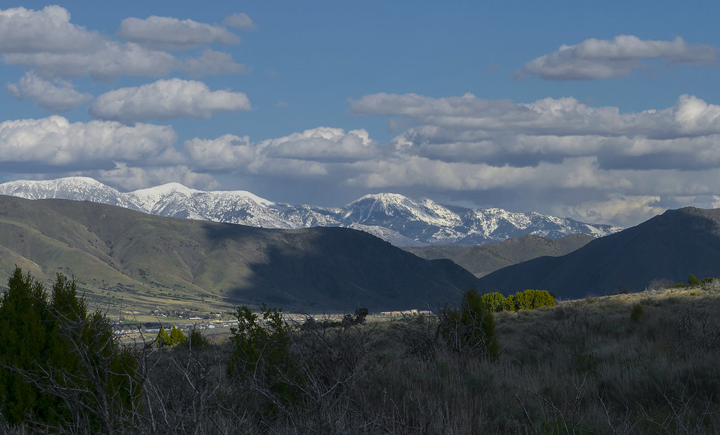
Toward Portneuf Gap with snowy Portneuf Mountains in distance
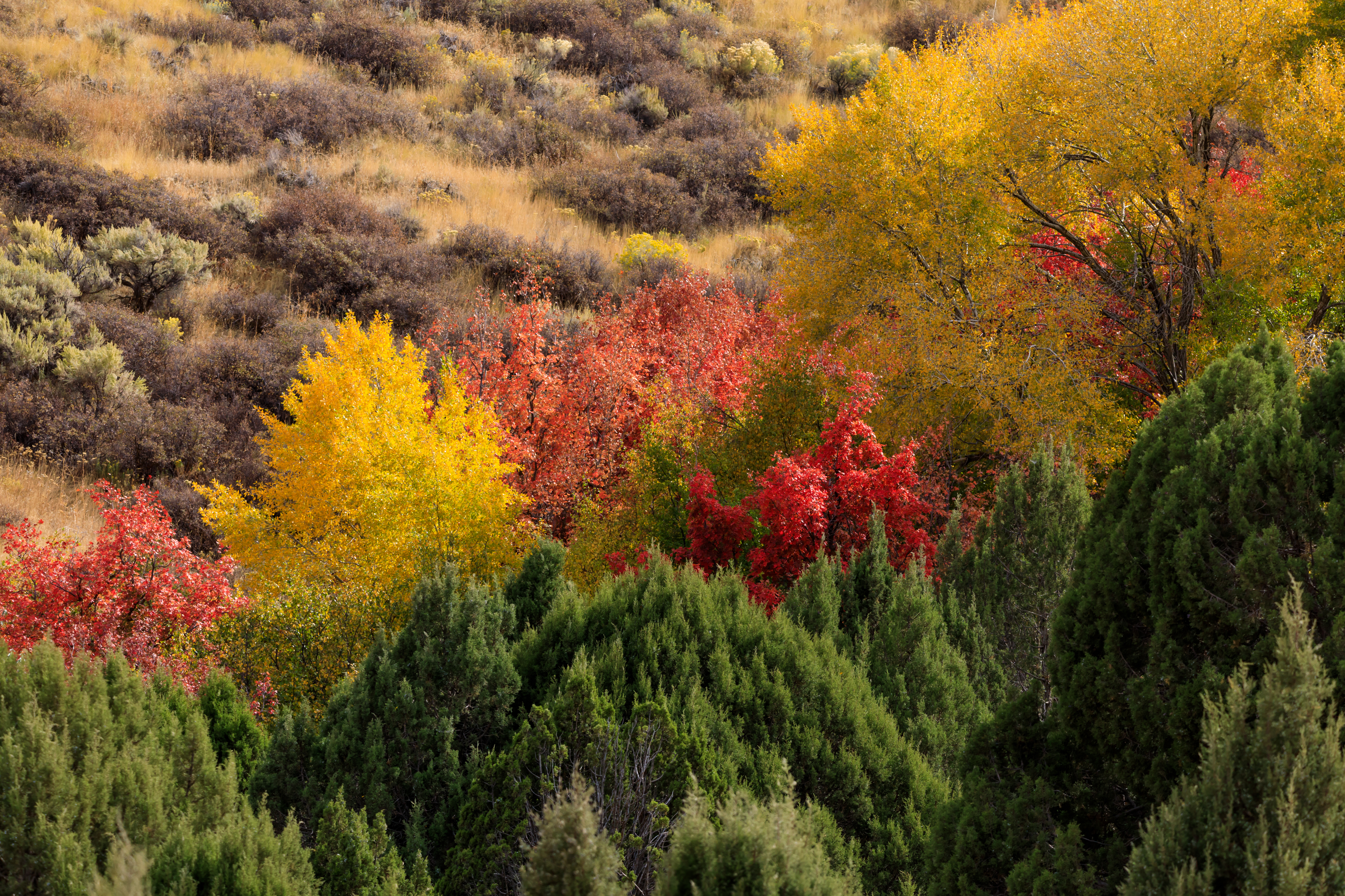
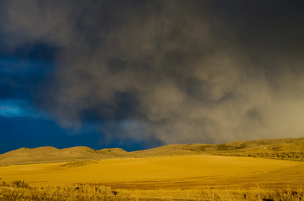
A Blast of Fall
Topographic Map of 42 Debbie Dr, Pocatello, ID, USA
Find elevation by address:

Places near 42 Debbie Dr, Pocatello, ID, USA:
257 Valleyview Dr
144 Highland Blvd
954 W Center St
Pocatello
3770 Pole Line Rd
Davis Field House
Idaho State University
Mountain West Patio Home Apartments
1268 Monte Vista Dr
Chubbuck
Pocatello Creek Road
1222 Freeman Ln
1085 Stars Rd
4620 Johnny Creek Rd
9815 W Pocatello Creek Rd
2505 Michelle St
N Yellowstone Hwy, Pocatello, ID, USA
6444 W Barton Rd
7549 W Portneuf Rd
N Fort Hall Mine Rd, Pocatello, ID, USA
Recent Searches:
- Elevation of Corso Fratelli Cairoli, 35, Macerata MC, Italy
- Elevation of Tallevast Rd, Sarasota, FL, USA
- Elevation of 4th St E, Sonoma, CA, USA
- Elevation of Black Hollow Rd, Pennsdale, PA, USA
- Elevation of Oakland Ave, Williamsport, PA, USA
- Elevation of Pedrógão Grande, Portugal
- Elevation of Klee Dr, Martinsburg, WV, USA
- Elevation of Via Roma, Pieranica CR, Italy
- Elevation of Tavkvetili Mountain, Georgia
- Elevation of Hartfords Bluff Cir, Mt Pleasant, SC, USA