Elevation of 41 Nugget Ridge, Sautee Nacoochee, GA, USA
Location: United States > Georgia > White County > Sautee Nacoochee >
Longitude: -83.663603
Latitude: 34.65927
Elevation: 436m / 1430feet
Barometric Pressure: 96KPa
Elevation Map:
Satellite Map:
Related Photos:

Winter Jewel

Tiny Worlds

Falls on Dukes Creek

Falls on Dukes Creek

Faucet Falls

Falls on Dukes Creek

Raper Creek Falls
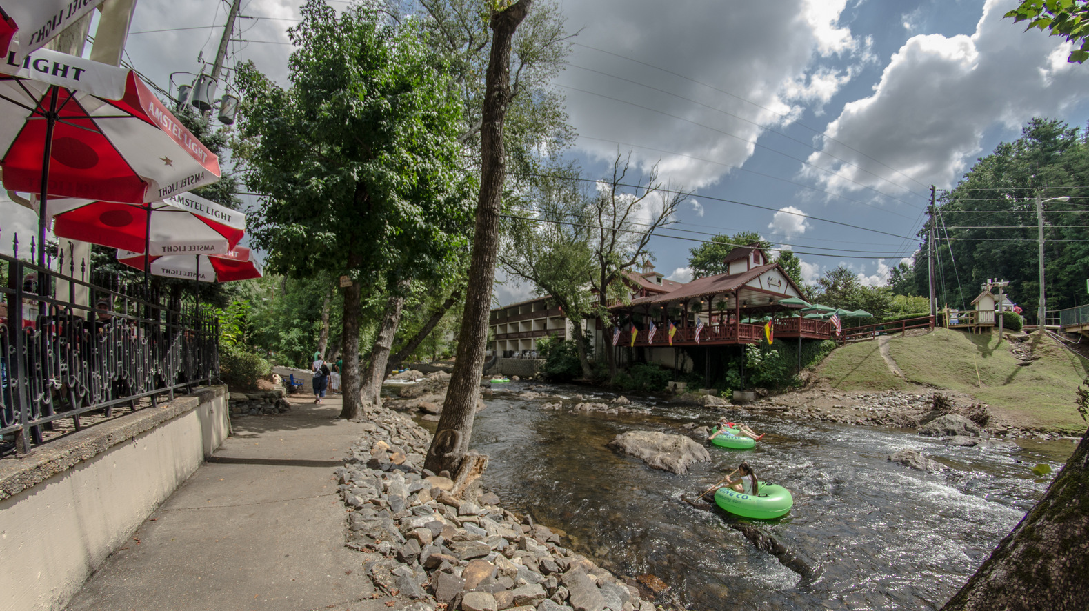
Alpine Helen on the Chattahoochee

A meal with a view

Raper Creek Falls

Maidenhair Falls

Maindenhair Falls

Maidenhair Falls

Dodd Creek Falls

Dodd Creek Falls

Dodd Creek Falls

Maidenhair Falls

Raper Creek Falls

Dodd Creek Falls
Sunday Afternoon Easy

Maindenhair Falls

Maidenhair Falls

Raper Creek Falls

Dover Falls

Maidenhair Falls

Dodd Creek Falls

Raper Creek Falls

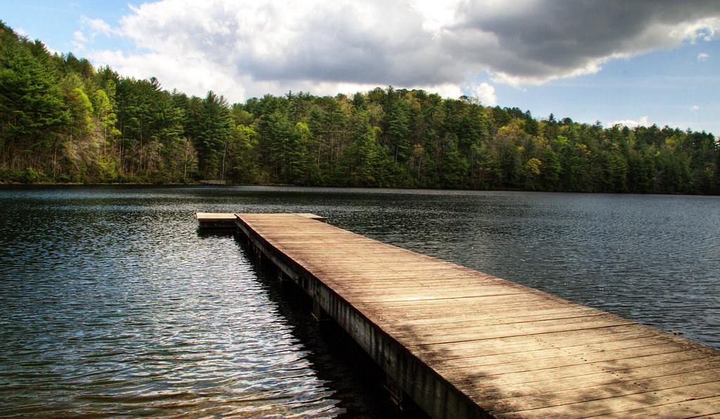
Smith Lake
Topographic Map of 41 Nugget Ridge, Sautee Nacoochee, GA, USA
Find elevation by address:

Places near 41 Nugget Ridge, Sautee Nacoochee, GA, USA:
2691 Panorama Dr
121 Crestwood Trail
3310 Panorama Dr
634 Little Hawk Rd
365 Little Hawk Rd
36 Mountain River Ln
123 Bear Paw Ct
238 Mill Run
202 Mill Run
3035 Ga-17
Aerial
GA-17, Clarkesville, GA, USA
245 Branch Rd
273 Sandra Ln
482 River Bend Rd
1019 Preacher Campbell Rd
1424 Lynch Mountain Rd
1607 Lynch Mountain Rd
567 Sweet Spring Branch Rd
1850 Sweetwater Dr
Recent Searches:
- Elevation of Corso Fratelli Cairoli, 35, Macerata MC, Italy
- Elevation of Tallevast Rd, Sarasota, FL, USA
- Elevation of 4th St E, Sonoma, CA, USA
- Elevation of Black Hollow Rd, Pennsdale, PA, USA
- Elevation of Oakland Ave, Williamsport, PA, USA
- Elevation of Pedrógão Grande, Portugal
- Elevation of Klee Dr, Martinsburg, WV, USA
- Elevation of Via Roma, Pieranica CR, Italy
- Elevation of Tavkvetili Mountain, Georgia
- Elevation of Hartfords Bluff Cir, Mt Pleasant, SC, USA