Elevation of 40 Rocky Road, Boulder, MT, USA
Location: United States > Montana > Boulder >
Longitude: -111.98606
Latitude: 46.1293303
Elevation: 1458m / 4783feet
Barometric Pressure: 85KPa
Elevation Map:
Satellite Map:
Related Photos:

Montana State School. Boulder,Montana

The view from my hike today. In Montana

Montana State School. Boulder,Montana

Water Tank and building. Boulder,Montana.
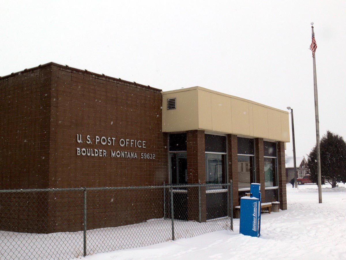
Boulder, Montana 59632

Lewis and Clark Caverns

St. John The Evangelist Catholic Church

"White Pine" Ghost Sign. Montana

Elkhorn, Montana

Montana Landscape

Lewis and Clark Caverns
Topographic Map of 40 Rocky Road, Boulder, MT, USA
Find elevation by address:

Places near 40 Rocky Road, Boulder, MT, USA:
22 Finch Gulch Rd
Bullock Contracting Llc
Bull Mountain North
Dry Creek Rd, Boulder, MT, USA
Ryan Mountain
Bull Lookout
Jefferson County
Elkhorn
Upper Valley Rd, Boulder, MT, USA
125 N Main St
Boulder
121 Wood Creek Rd
Crow Peak
Elkhorn Peak
149 Depot Hill Rd
75 Powerline Rd
Ration Mountain
Amazon Rd, Boulder, MT, USA
Amazon
Bullock Hill
Recent Searches:
- Elevation of Corso Fratelli Cairoli, 35, Macerata MC, Italy
- Elevation of Tallevast Rd, Sarasota, FL, USA
- Elevation of 4th St E, Sonoma, CA, USA
- Elevation of Black Hollow Rd, Pennsdale, PA, USA
- Elevation of Oakland Ave, Williamsport, PA, USA
- Elevation of Pedrógão Grande, Portugal
- Elevation of Klee Dr, Martinsburg, WV, USA
- Elevation of Via Roma, Pieranica CR, Italy
- Elevation of Tavkvetili Mountain, Georgia
- Elevation of Hartfords Bluff Cir, Mt Pleasant, SC, USA