Elevation of 40, Pakiršinys, Lithuania
Location: Lithuania > Šiauliai County >
Longitude: 23.7837424
Latitude: 55.6552541
Elevation: 90m / 295feet
Barometric Pressure: 100KPa
Elevation Map:
Satellite Map:
Related Photos:

Barley fields, Mitriunai
at Baisogala

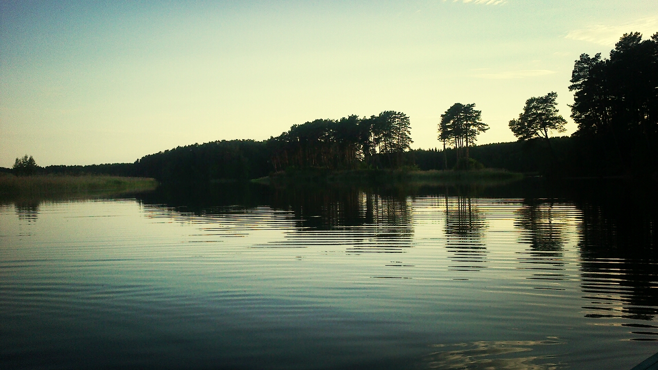
Midsummer nostalgia
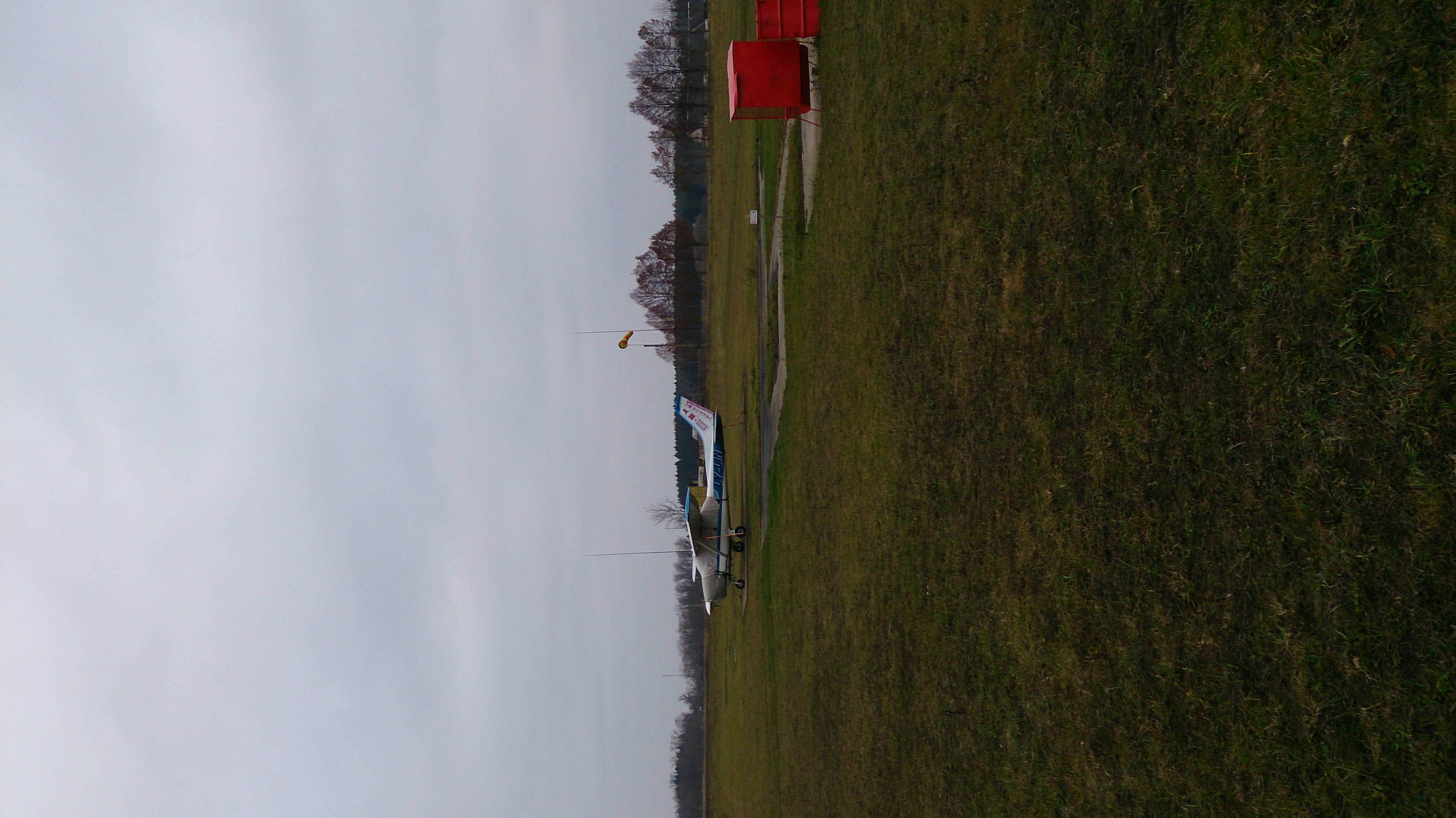
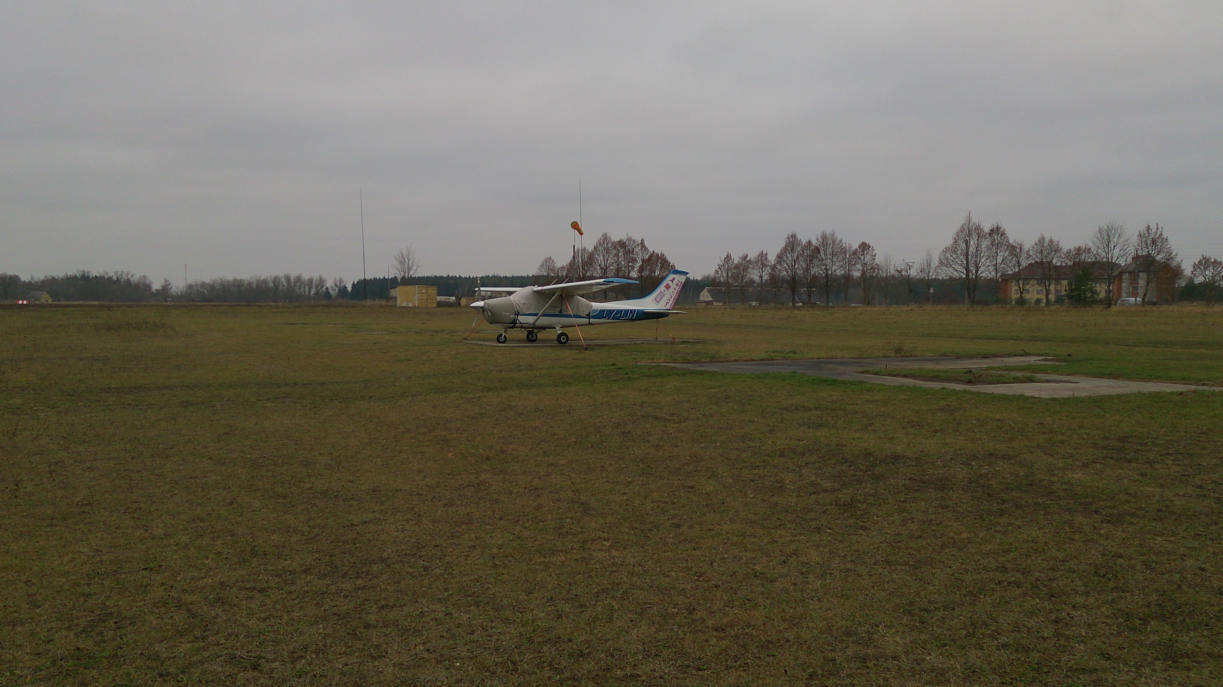
2014-11-16 12.55.35

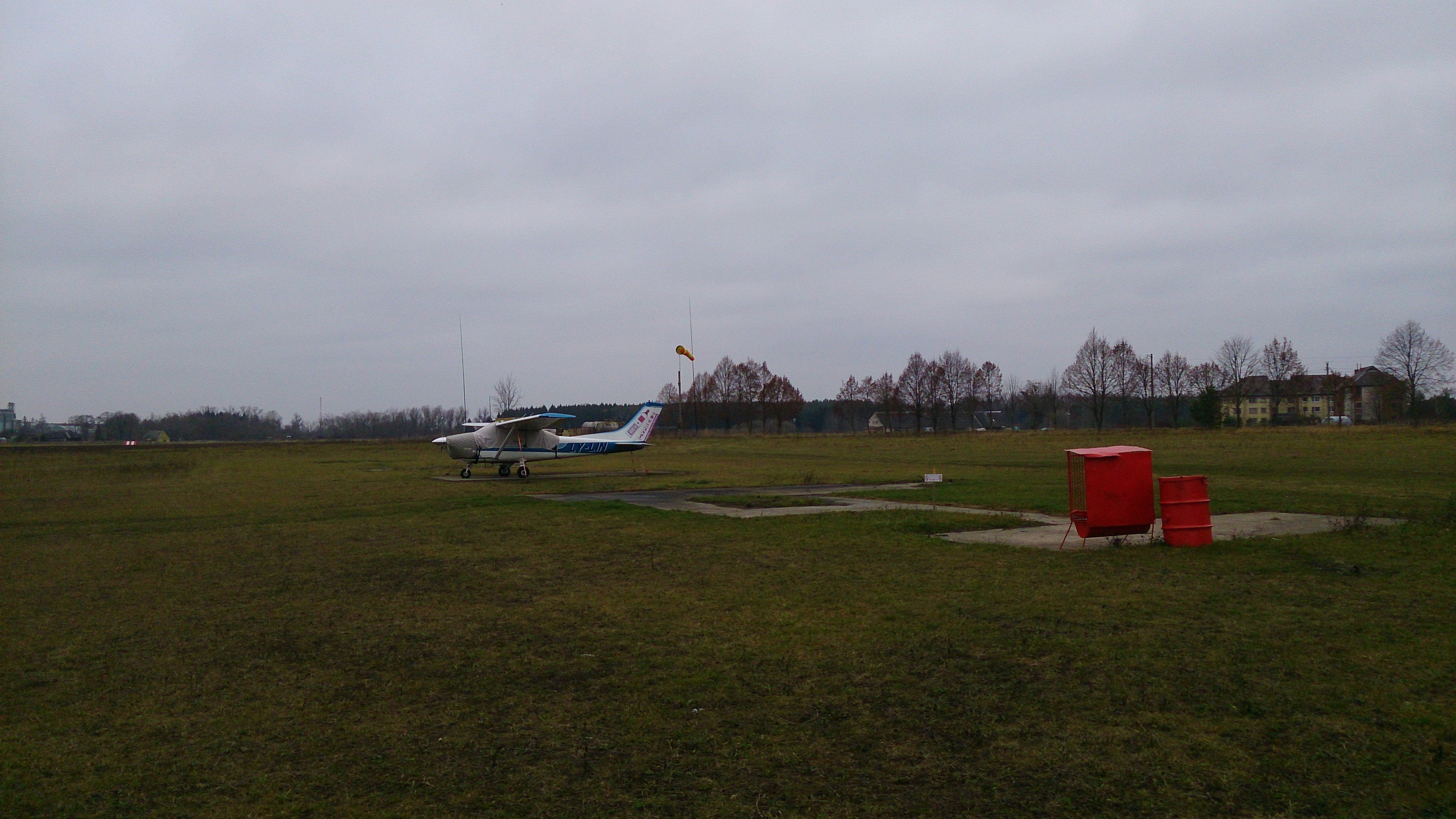
2014-11-16 12.56.24
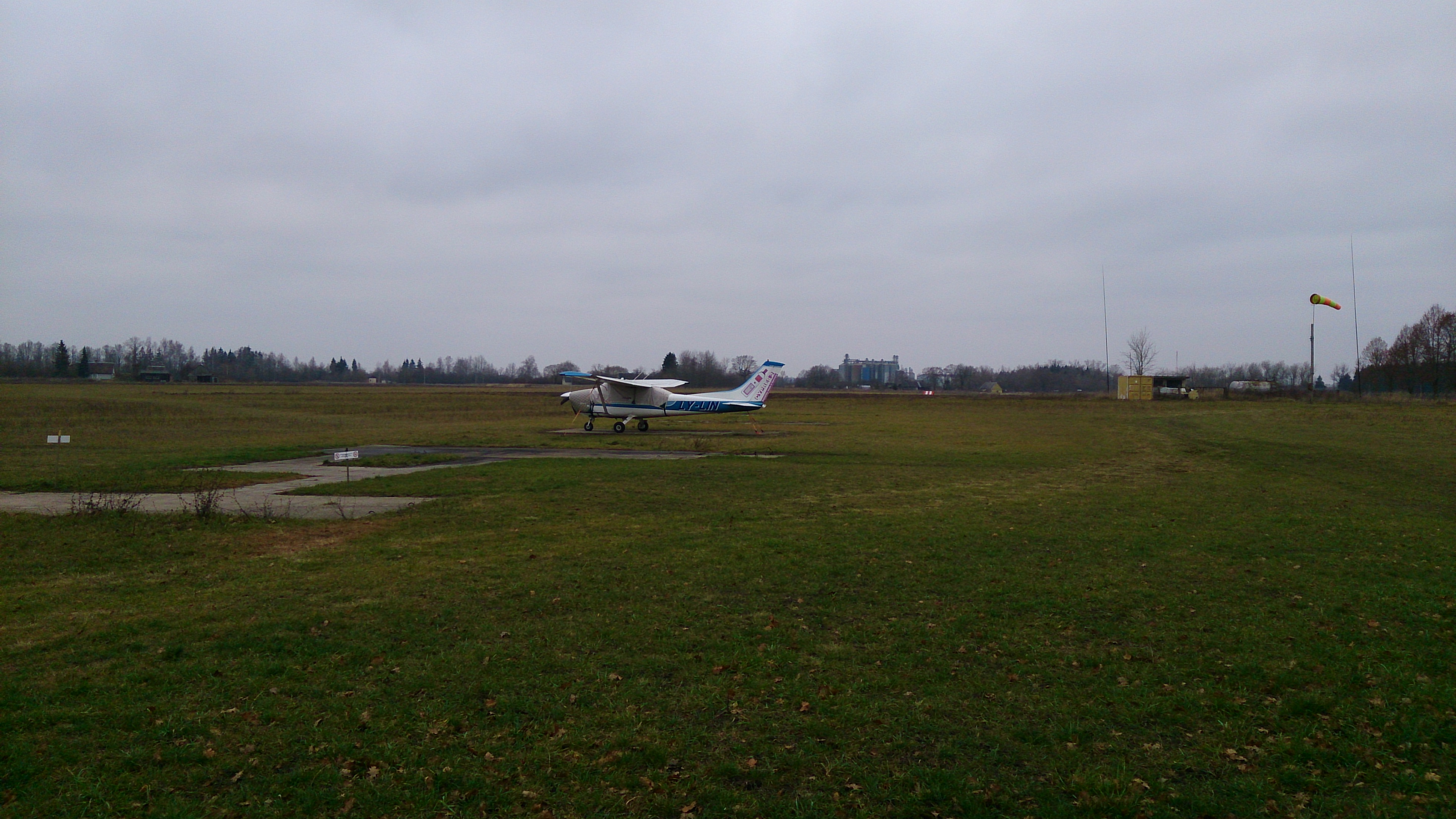
2014-11-16 12.55.59
2014-11-16 12.58.18
2014-11-16 12.57.25
2014-11-16 12.56.48

43 IMGP6963

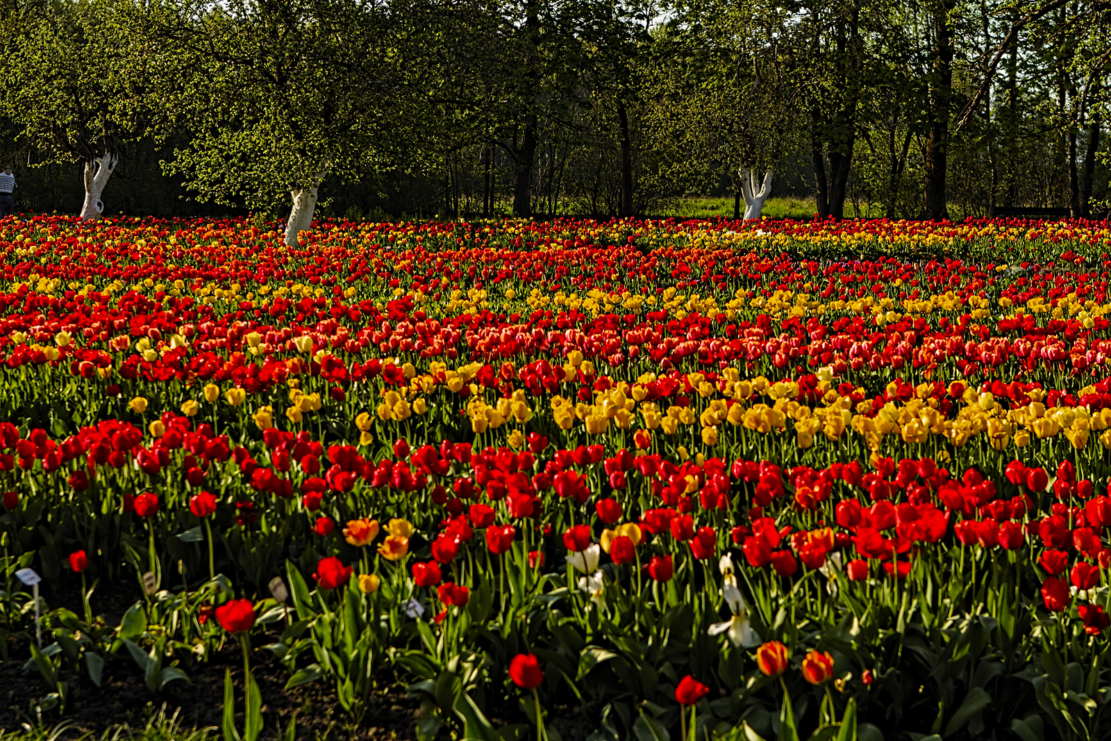
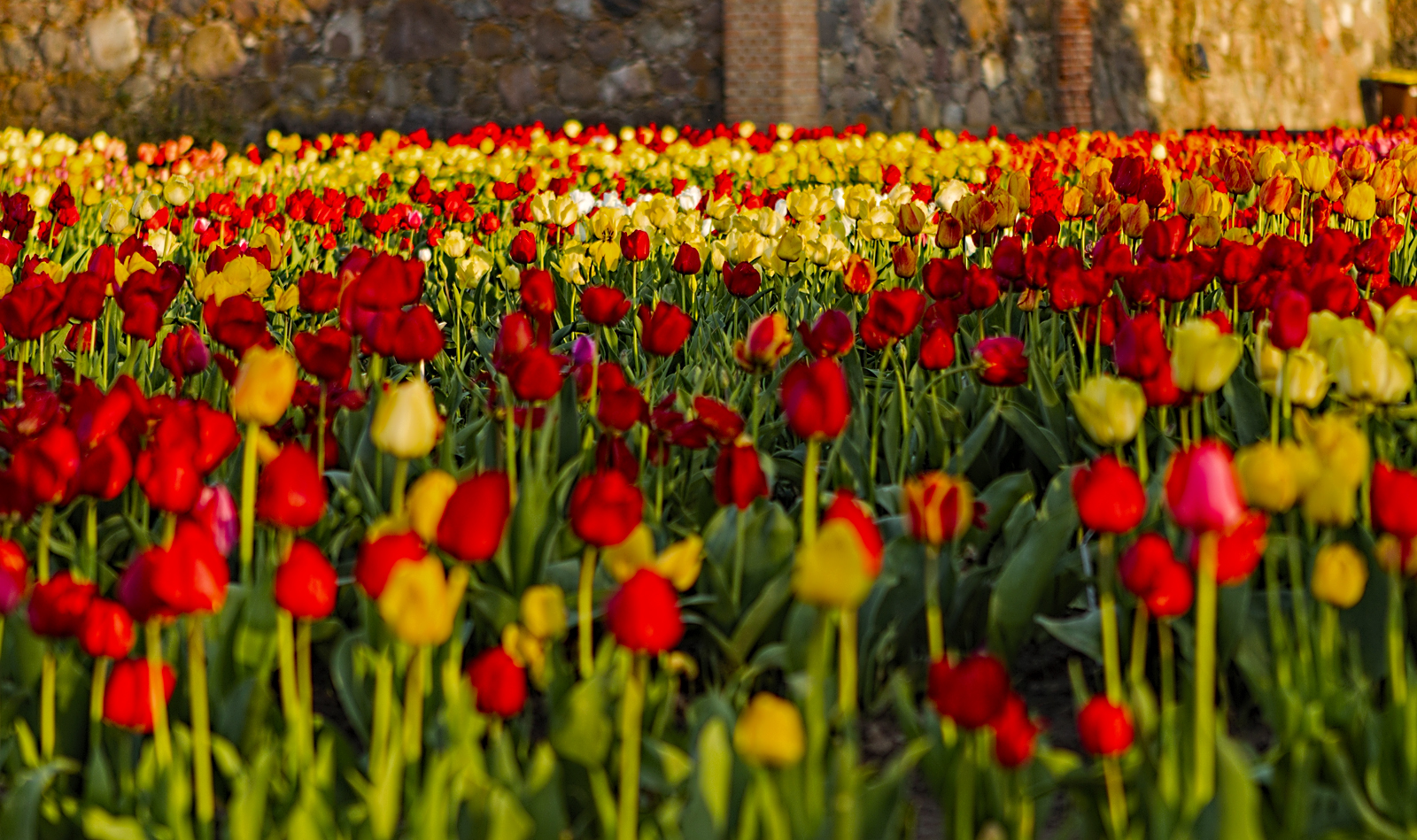
Burbiškio tulpės
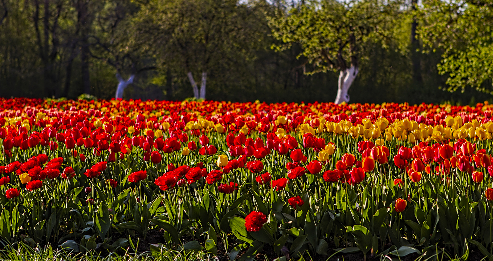
Burbiškio tulpės
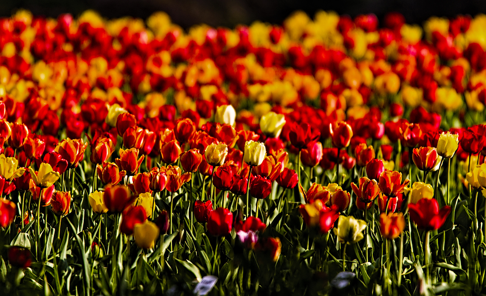
Burbiškio tulpės
Burbiškio tulpės

Burbiškio tulpės
Burbiškio tulpės
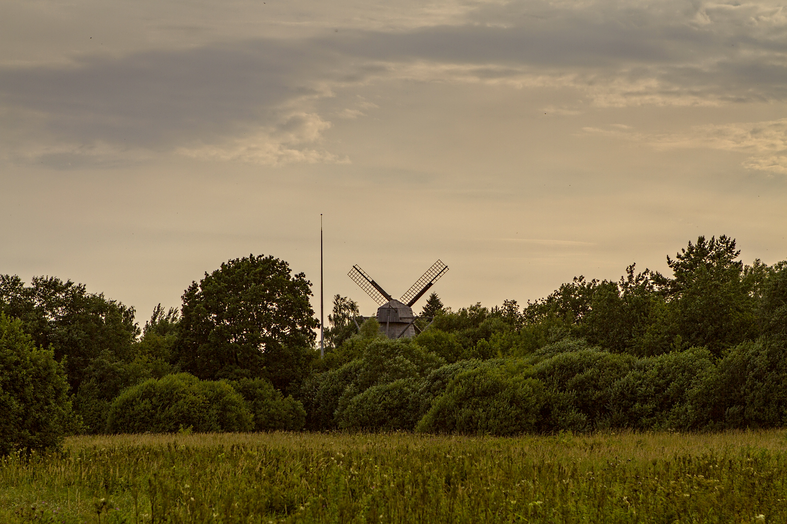
Kleboniškių vėjo malūnas

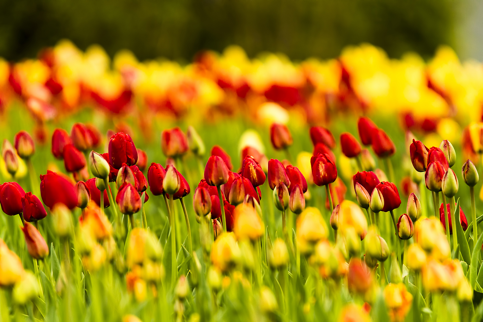
Burbiškio tulpės

Burbiškio tulpės
Burbiškio tulpės

Burbiškio tulpės
Topographic Map of 40, Pakiršinys, Lithuania
Find elevation by address:

Places near 40, Pakiršinys, Lithuania:
Vikaičiai
37, Vikaičiai, Lithuania
Radviliškis
Šiaulių Oro Uostas
Lithuania
Šiauliai City Municipality
Hill Of Crosses
A1
Vilniaus G. 95
Tilžės G. 255
Vilniaus G. 125
A12 135
Šiauliai
Vilniaus G. 225
J. Basanavičiaus G. 103c
M. K. Čiurlionio G. 15
M. K. Čiurlionio G. 25
M. K. Čiurlionio G. 35
Darbininkų G. 55
Tilžės G. 35
Recent Searches:
- Elevation of Corso Fratelli Cairoli, 35, Macerata MC, Italy
- Elevation of Tallevast Rd, Sarasota, FL, USA
- Elevation of 4th St E, Sonoma, CA, USA
- Elevation of Black Hollow Rd, Pennsdale, PA, USA
- Elevation of Oakland Ave, Williamsport, PA, USA
- Elevation of Pedrógão Grande, Portugal
- Elevation of Klee Dr, Martinsburg, WV, USA
- Elevation of Via Roma, Pieranica CR, Italy
- Elevation of Tavkvetili Mountain, Georgia
- Elevation of Hartfords Bluff Cir, Mt Pleasant, SC, USA