Elevation of 40 4th C St, Marion, NC, USA
Location: United States > North Carolina > Mcdowell County > Marion > Marion >
Longitude: -81.994361
Latitude: 35.6932541
Elevation: 427m / 1401feet
Barometric Pressure: 96KPa
Elevation Map:
Satellite Map:
Related Photos:
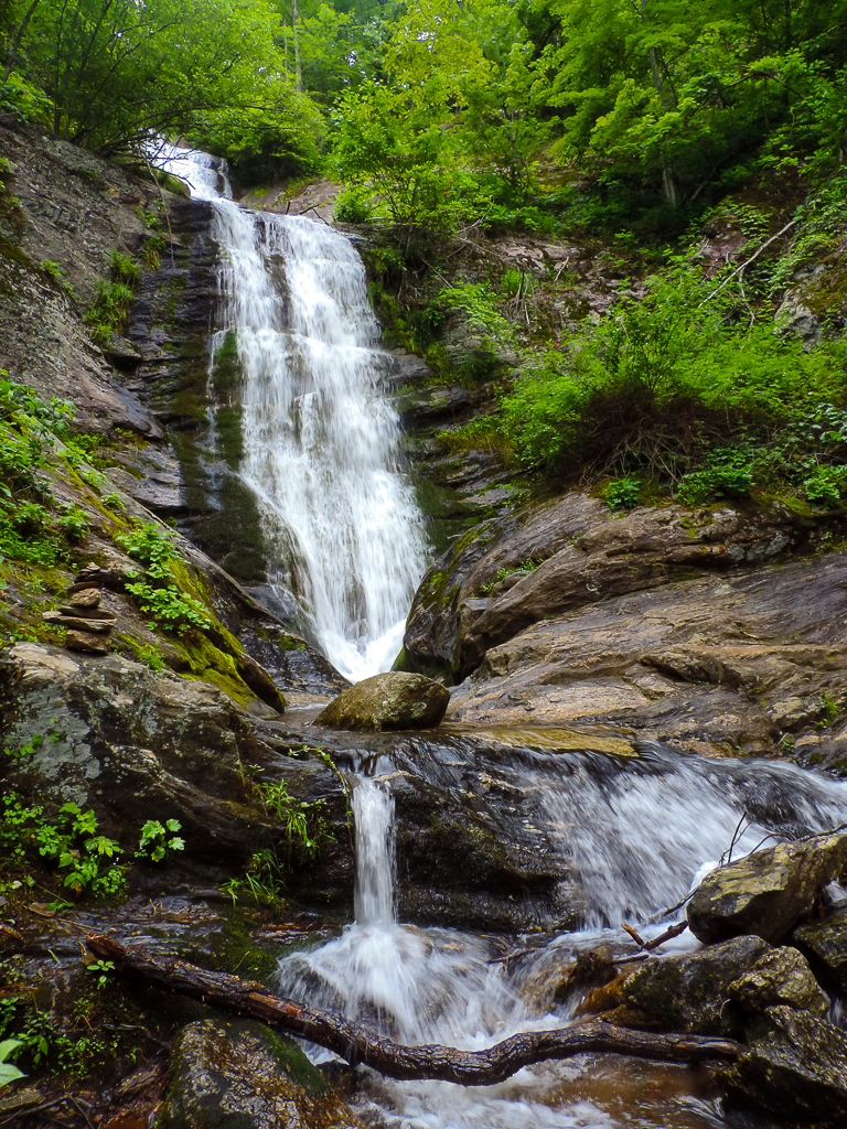
Tom's Creek Falls 2
Paddys Creek Farm 15/365
Tom's Creek Cascade

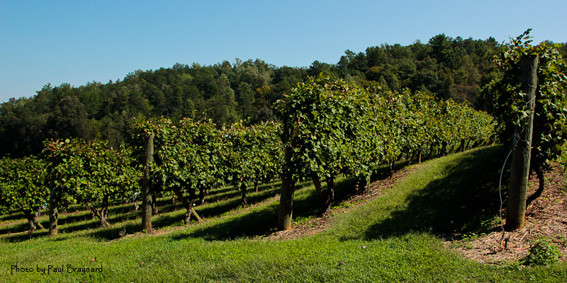
Glorious Grapes

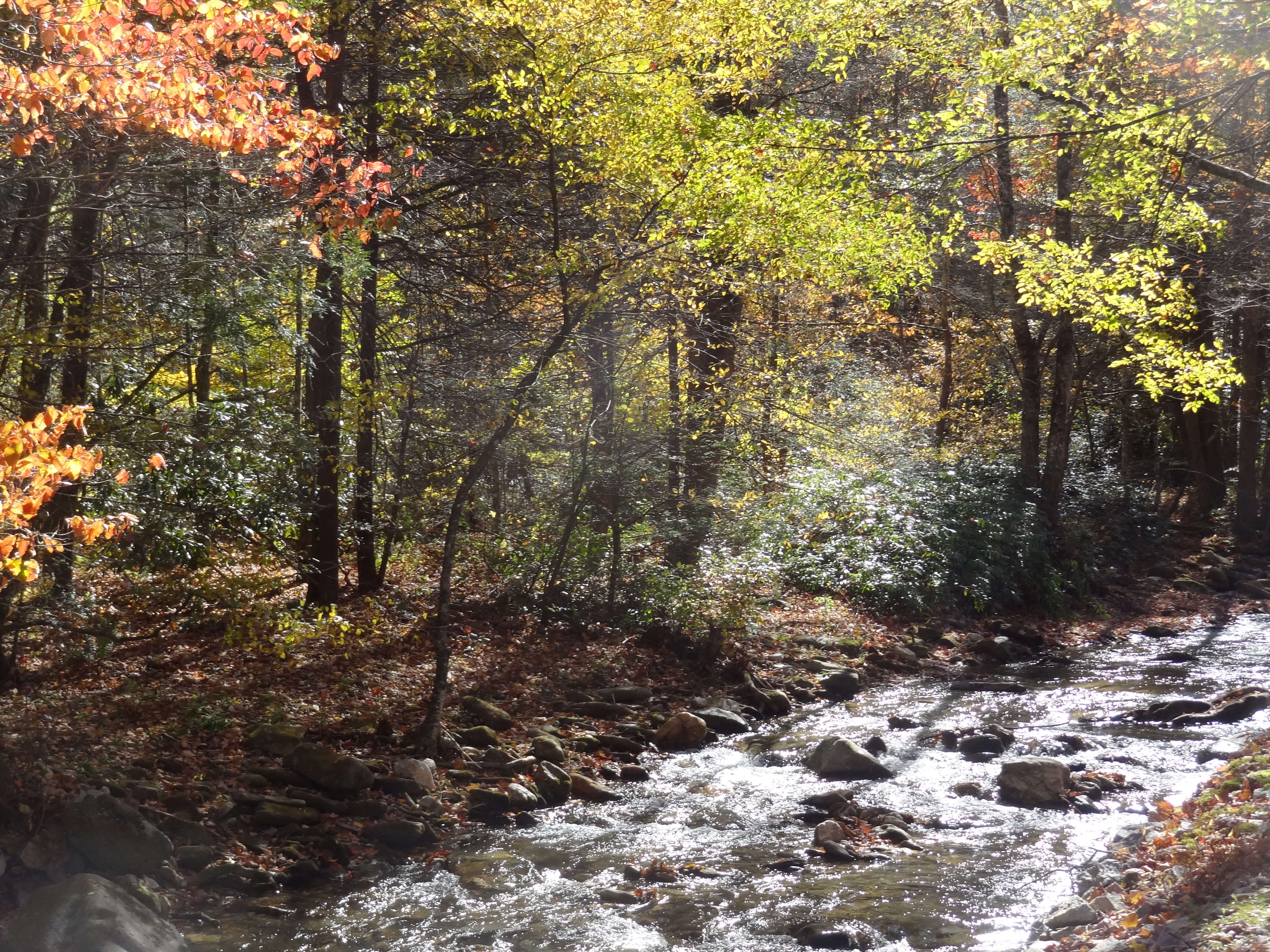
Icy Cascade

Lake James

Water Snake

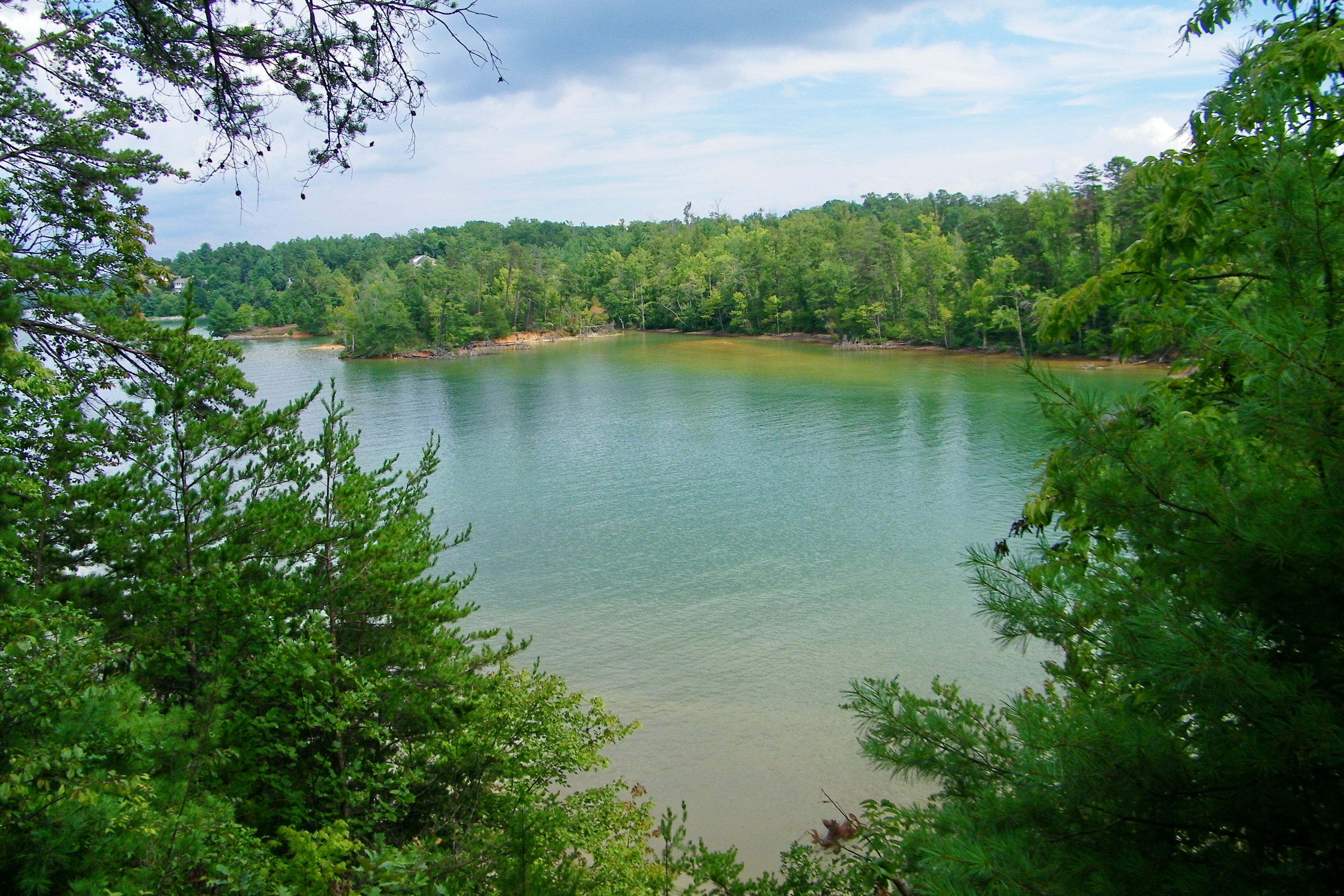
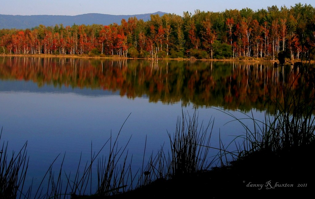
Lake Tahoma Reflections
The view from Lari's front window

South Creek View
The view (sans hot topics)

Looking toward Climgman's Peak from the Mt. Mitchell summit trail.
Old Hwy 105
Old Hwy 105
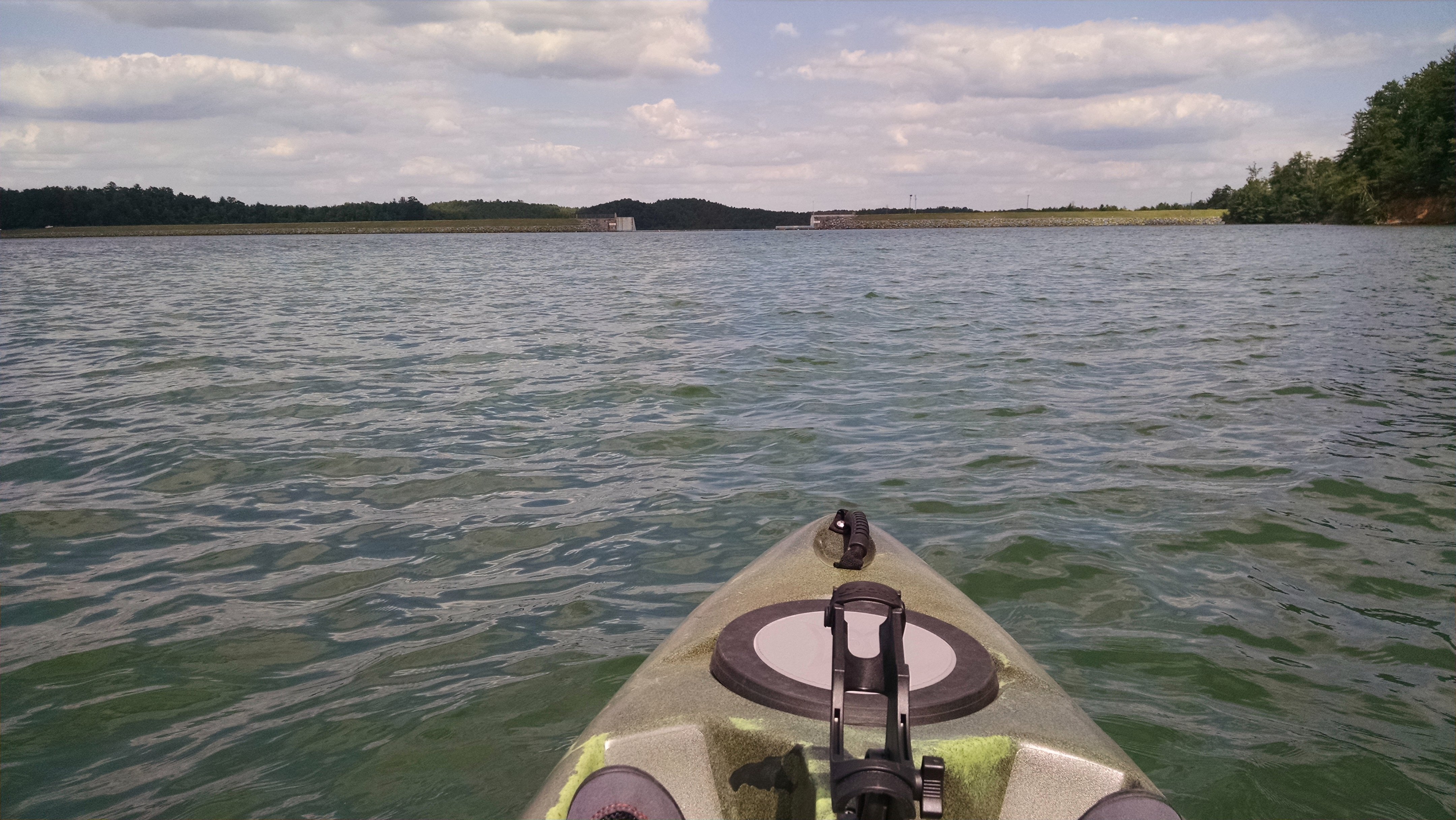
Catawba Dam on Lake James
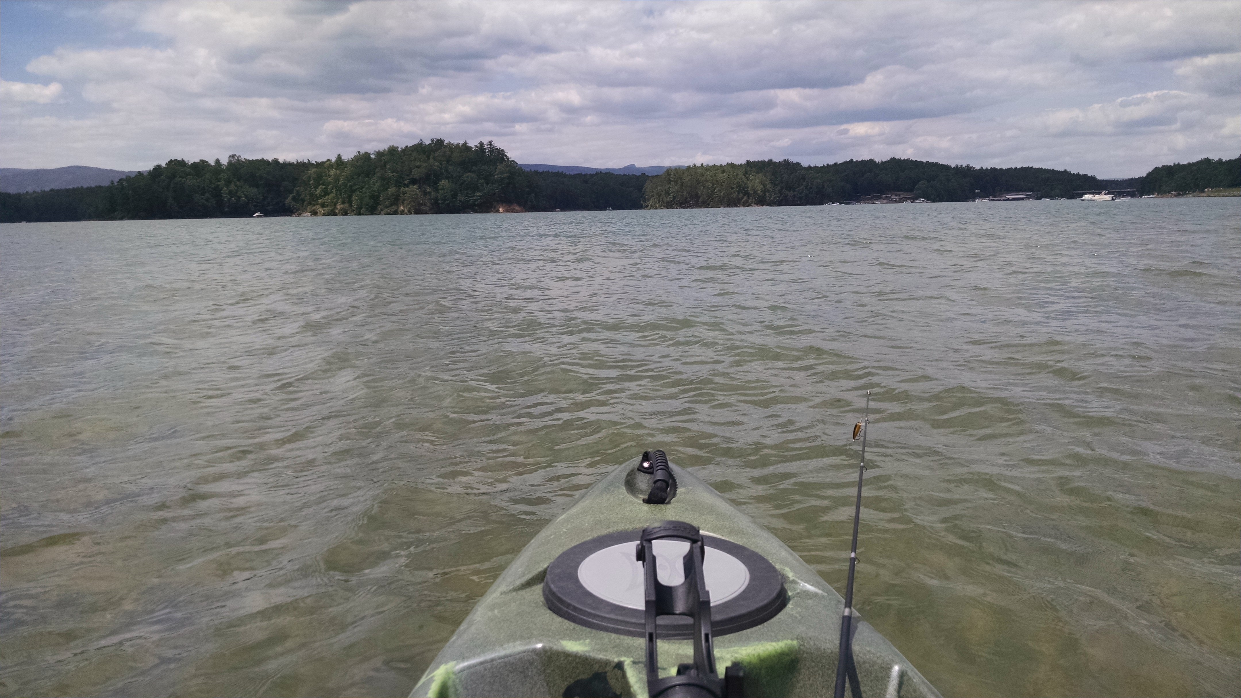
Lake James, NC
Lake James, NC

The view from Lari's porch
South Creek View

Sandy Cliff Overlook
Overmountain Victory Trail
Buck Creek with colorful trees
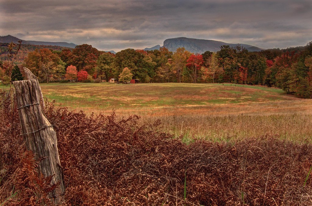
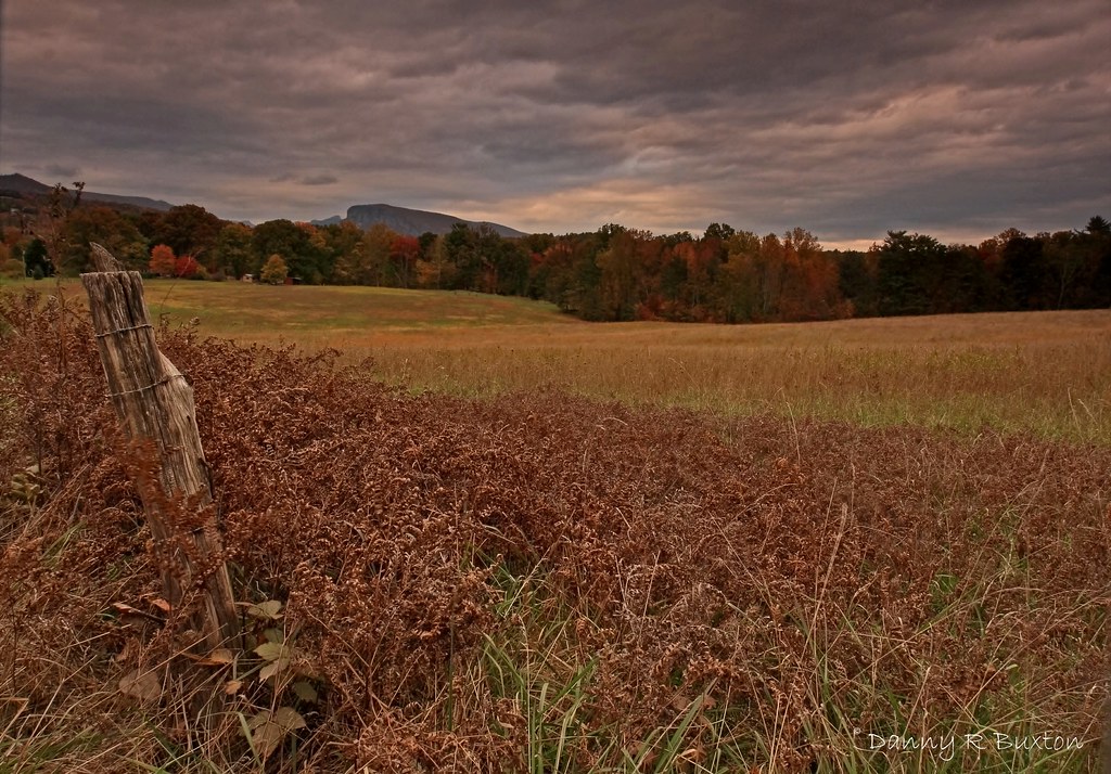
Beyond the Fence
A long way from Albuquerque

Shortoff & Rainbow
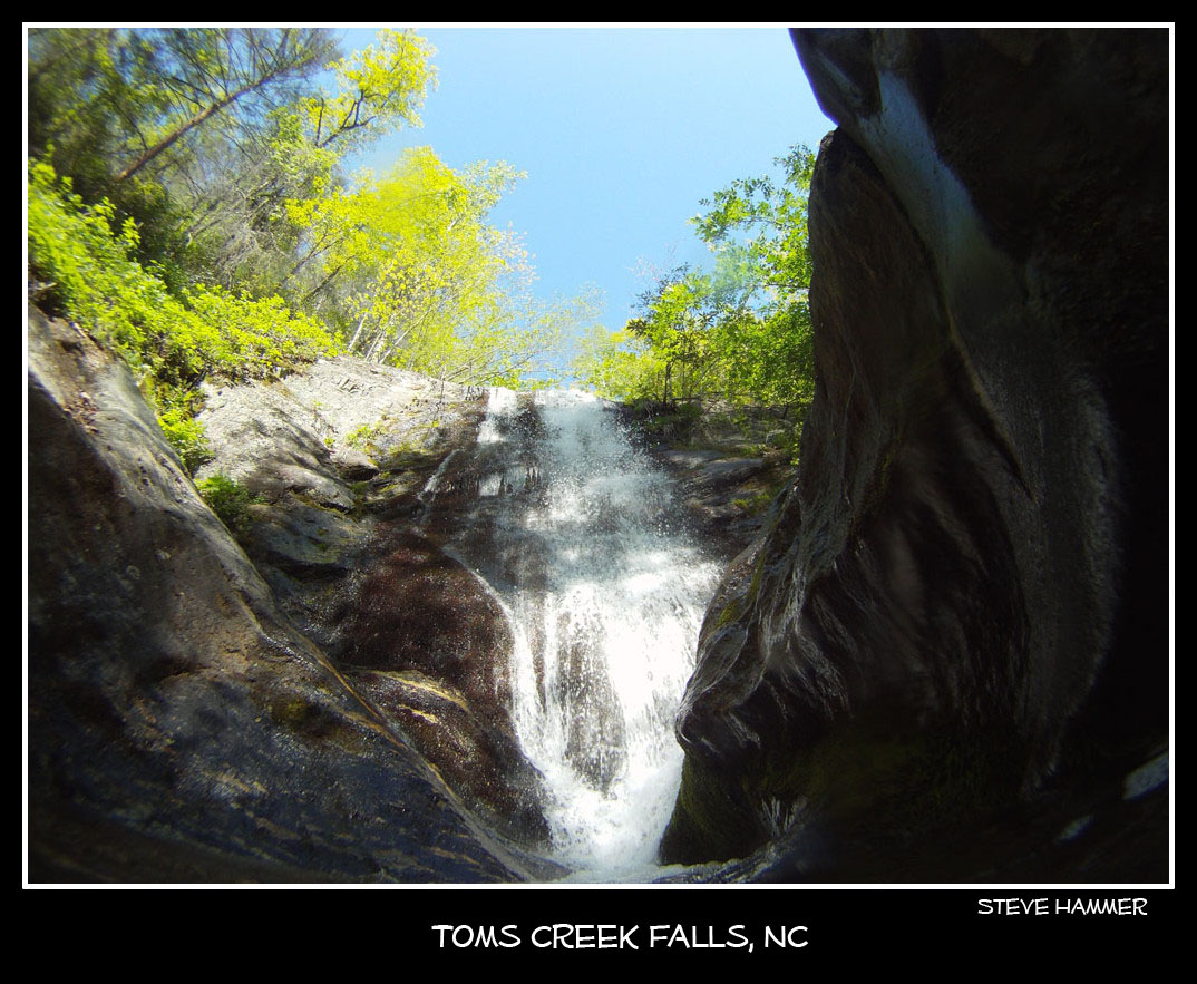
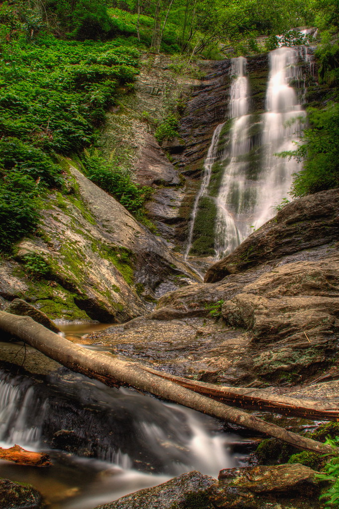
Toms Creek Falls near Marion, NC

Mill's Creek Trail
Angry Skies of October 301/365
Tom's Creek Falls-6470

Morning light on Camp Grimes

Tom's Creek Falls-6476

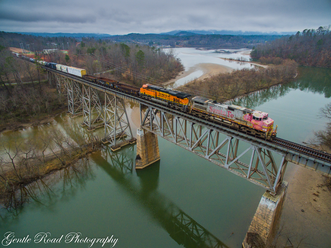
CSX N760 @ Marion
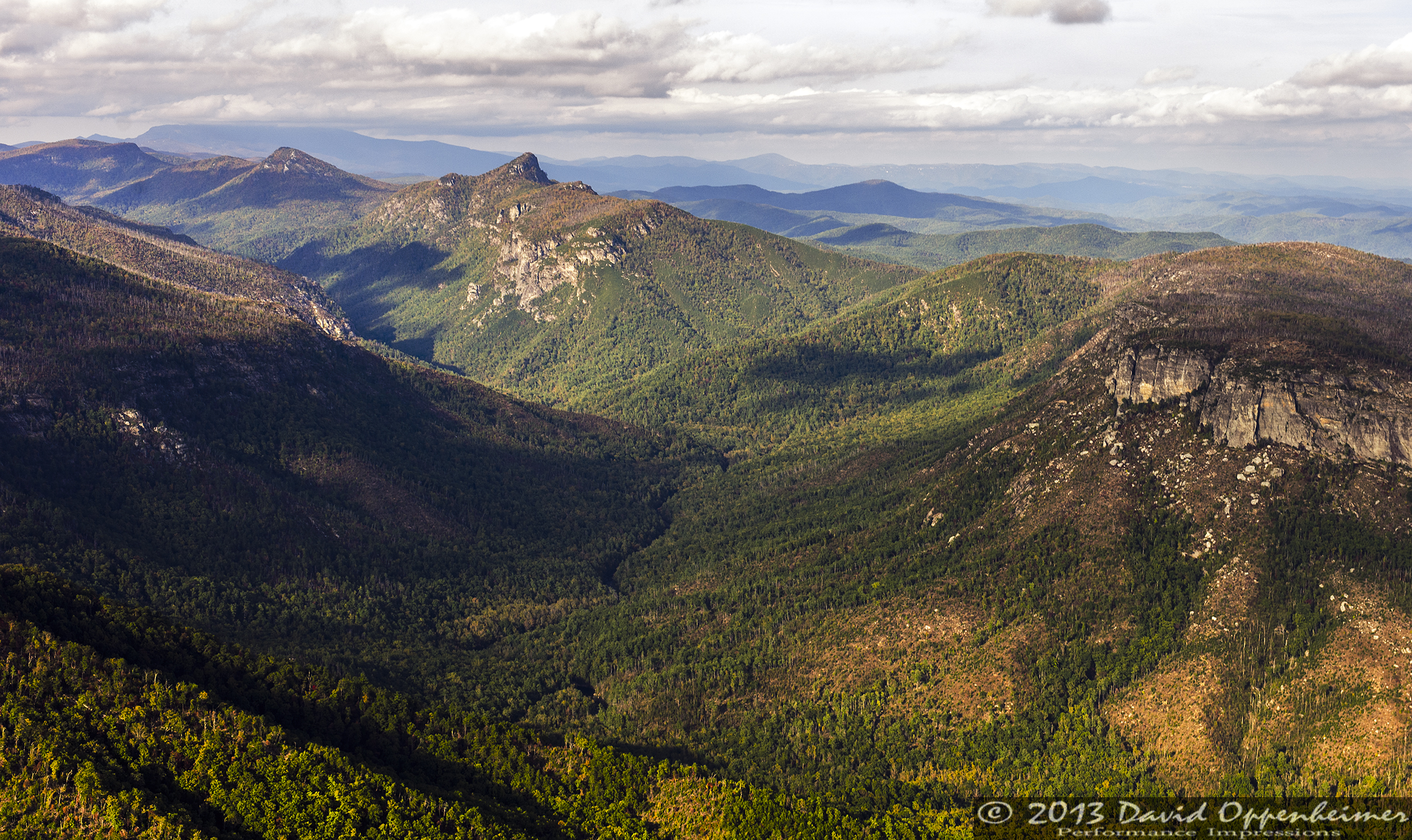
Linville Gorge Wilderness

Indian Sign Tree 357/365
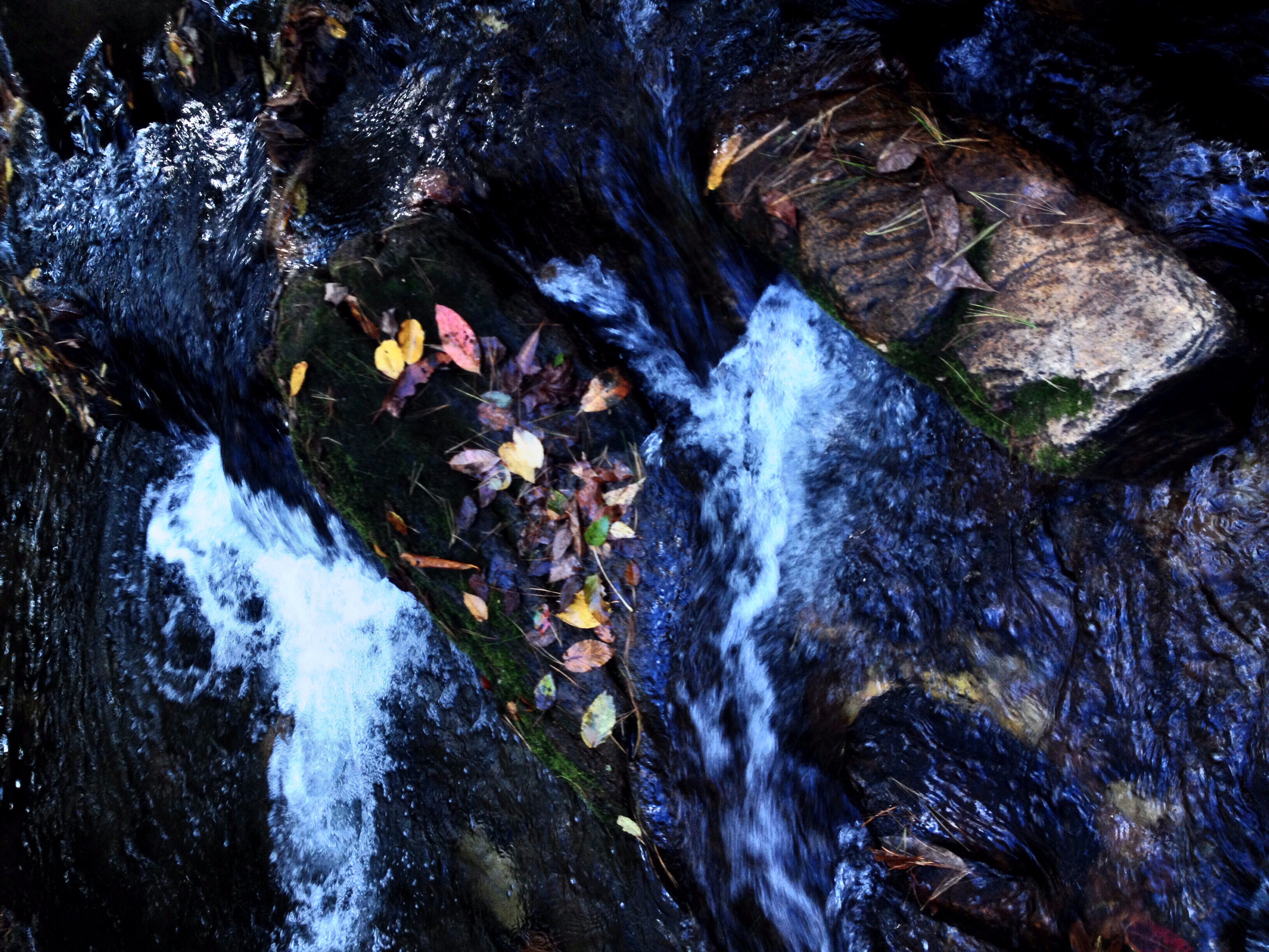
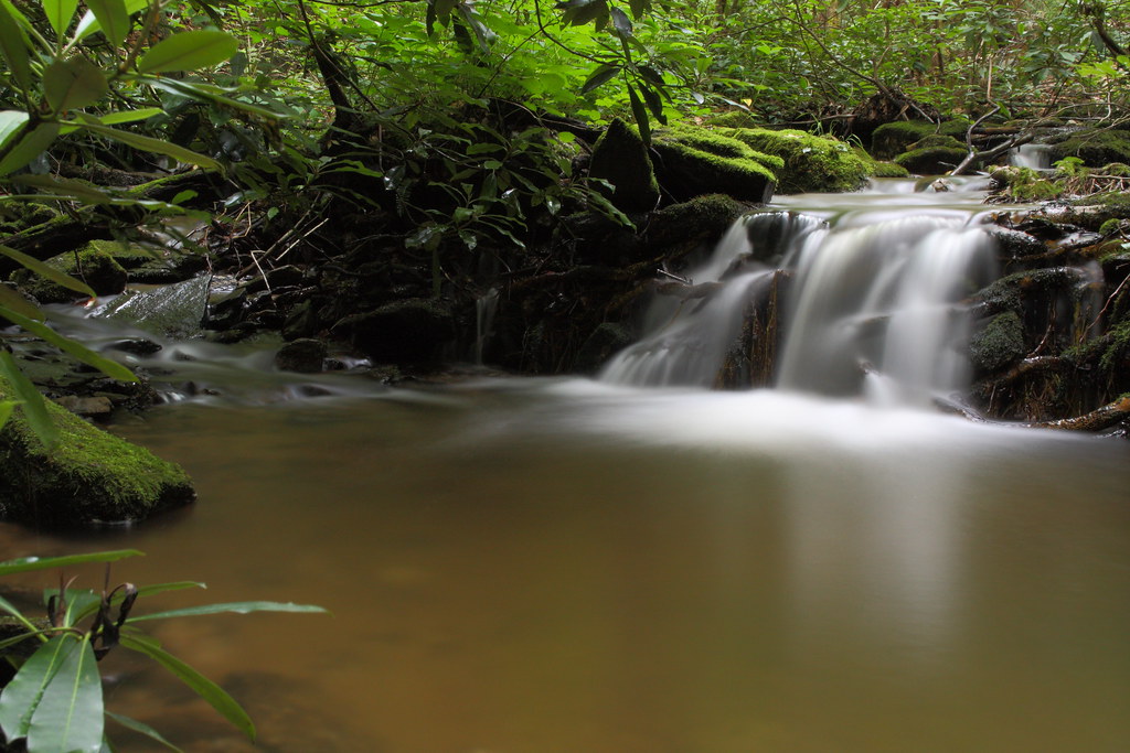
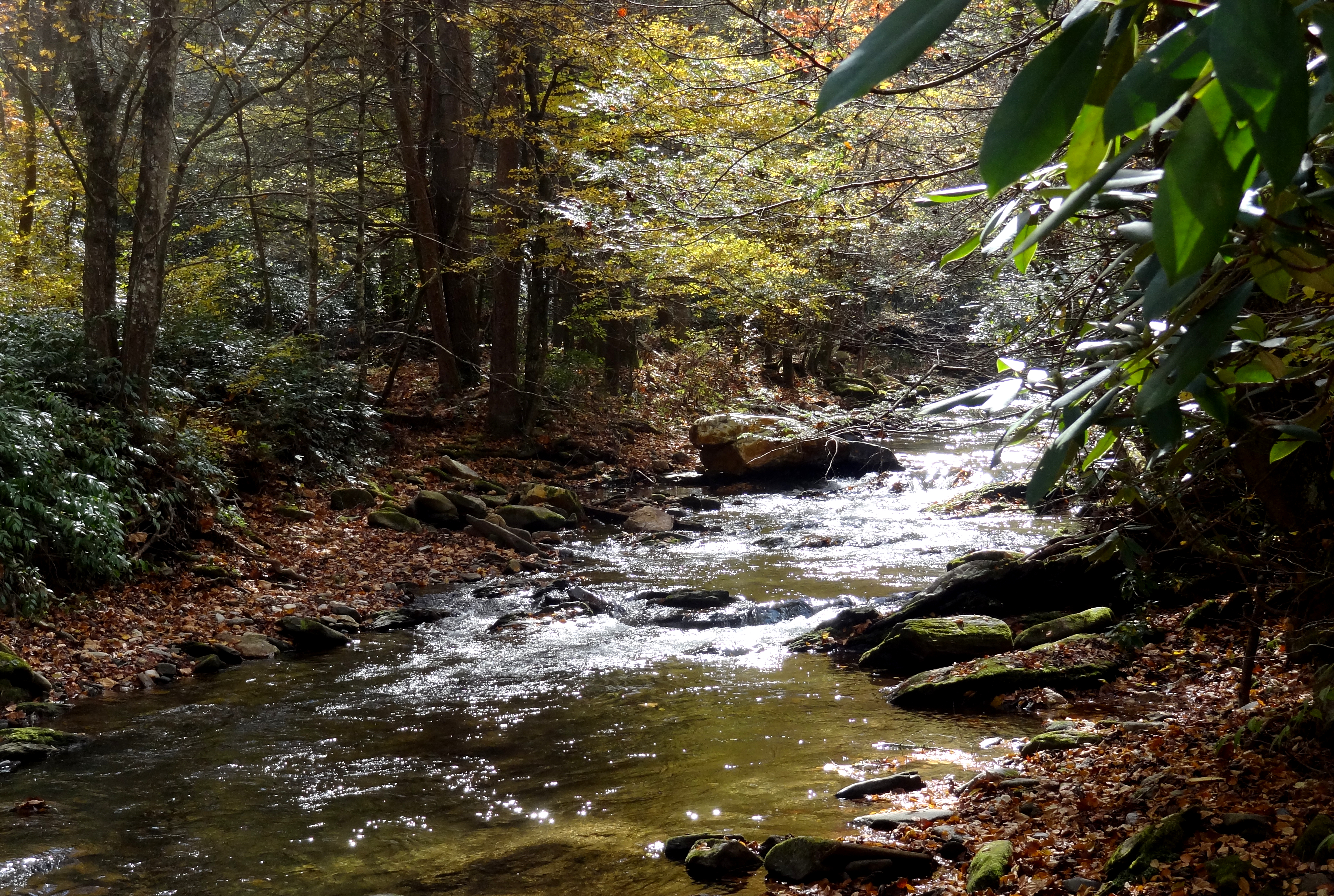
Little Falls in Creek
Linville Flats, Lake James 277/365
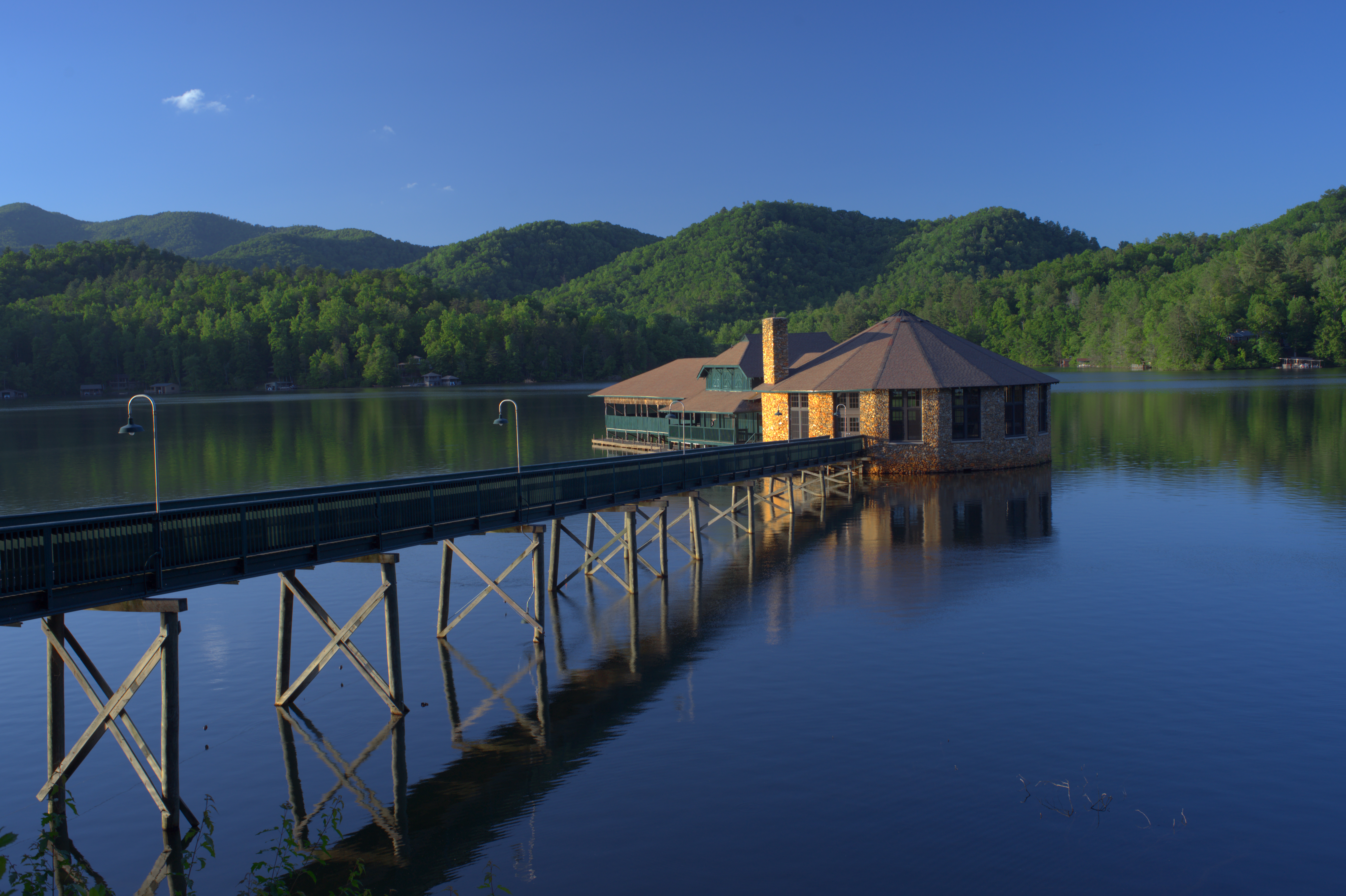
The Hexadecagon House

Light Rays Under Cloud

Zoned Out
Buck Creek, tributary of Catawba river, back of Sunnyvale Baptist, NC 80
Topographic Map of 40 4th C St, Marion, NC, USA
Find elevation by address:

Places near 40 4th C St, Marion, NC, USA:
804 State St
East Mcdowell Middle School
158 Clark St
79 Bostic St
170 Forsythe St
571 E Court St
241 Virginia Dr
75 Kathy St, Marion, NC, USA
Gray Fox Trail
787 Ridge Rd
182 Lonon Ave
180 E Court St
323 Fleming Ave
75 Laurelwood Dr
315 Foxtail Heights Dr
Marion
55 Crescent Dr
Lake Mountain View Drive
417 N Main St
Juniper Lane
Recent Searches:
- Elevation of Corso Fratelli Cairoli, 35, Macerata MC, Italy
- Elevation of Tallevast Rd, Sarasota, FL, USA
- Elevation of 4th St E, Sonoma, CA, USA
- Elevation of Black Hollow Rd, Pennsdale, PA, USA
- Elevation of Oakland Ave, Williamsport, PA, USA
- Elevation of Pedrógão Grande, Portugal
- Elevation of Klee Dr, Martinsburg, WV, USA
- Elevation of Via Roma, Pieranica CR, Italy
- Elevation of Tavkvetili Mountain, Georgia
- Elevation of Hartfords Bluff Cir, Mt Pleasant, SC, USA