Elevation of 3 Rue de la Mairie, Nort-Leulinghem, France
Location: France > Nord-pas-de-calais-picardie > Pas-de-calais > Nort-leulinghem >
Longitude: 2.0927585
Latitude: 50.8017743
Elevation: 51m / 167feet
Barometric Pressure: 101KPa
Elevation Map:
Satellite Map:
Related Photos:

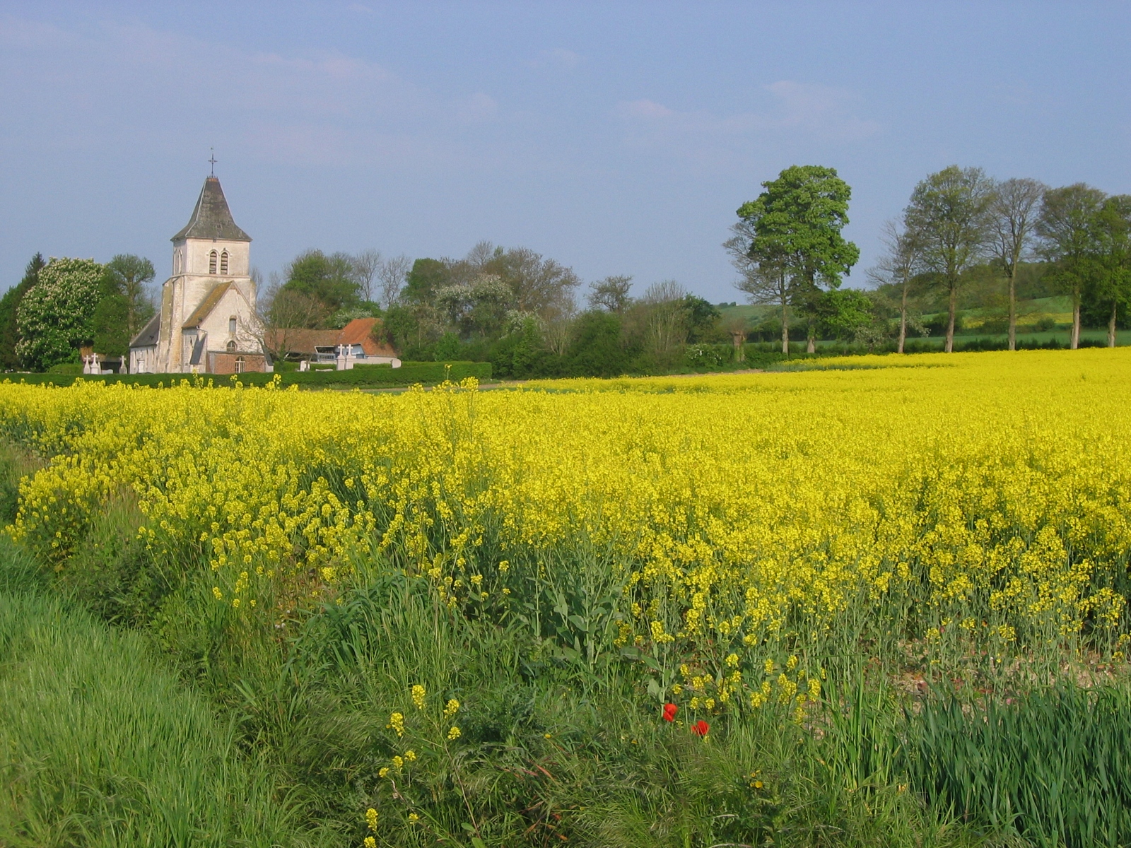
LAC D'ARDRES

Chapel of the old College of Walloon Jesuits
20120707 1644--DSLR-A850 08835 55 mm

EGLISE SAINT-PETRONILLE ET CHÂTEAU D'ACQUIN

Saint Omer, Région Nord Pas de Calais
Sous le Saule pleureur !

Ricordi d'infanzia...
Entrée Interdite !

IMG_5990.JPG
20151003-0083-Edit

Silhouette......
IMG_5992.JPG

IMG_5937.JPG

IMG_5973_pano.jpg
IMG_5978.JPG

Lycée Alexandre Ribot, Saint-Omer

IMG_5981.JPG

20151003-0080-Edit

IMG_5936_pano.JPG

IMG_5979.JPG
IMG_5930.JPG

ACQUIN-WESTBECOURT

DSC08156 - Version 2

Soleil noir.

The Fields of Northern France #dailyshoot # Saint Omer
Chapelle Saint-Louis

FORÊT DE TOURNEHEM (2)

Crin blanc

Lac des cygnes

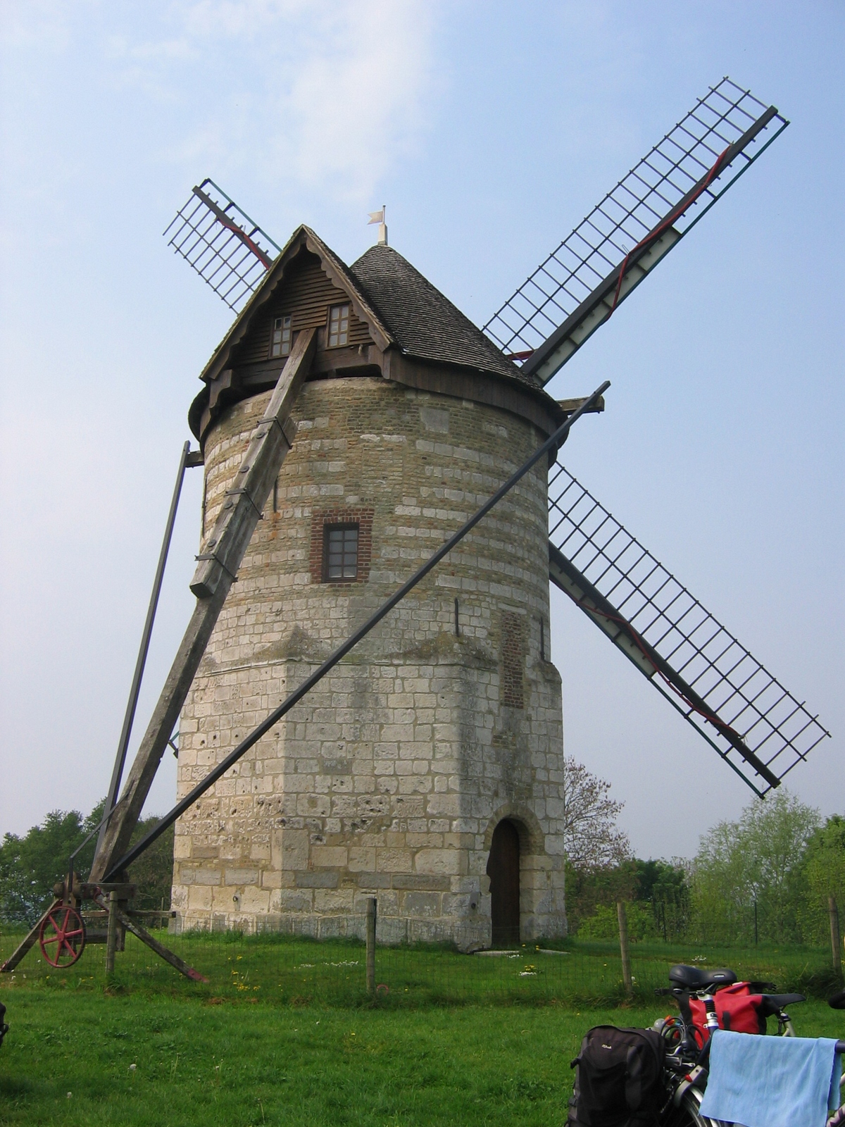
Moulin de Watten

Amarré

L'orage approche

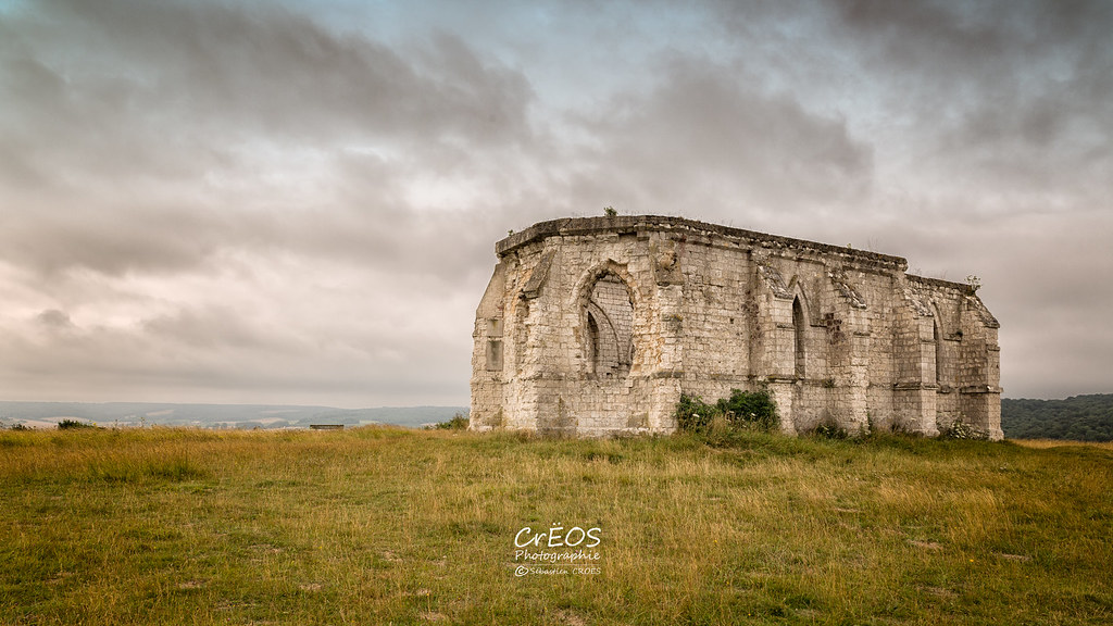
Grandeur et décadence.

Chapelle Saint-Louis
BOIS DU HAM

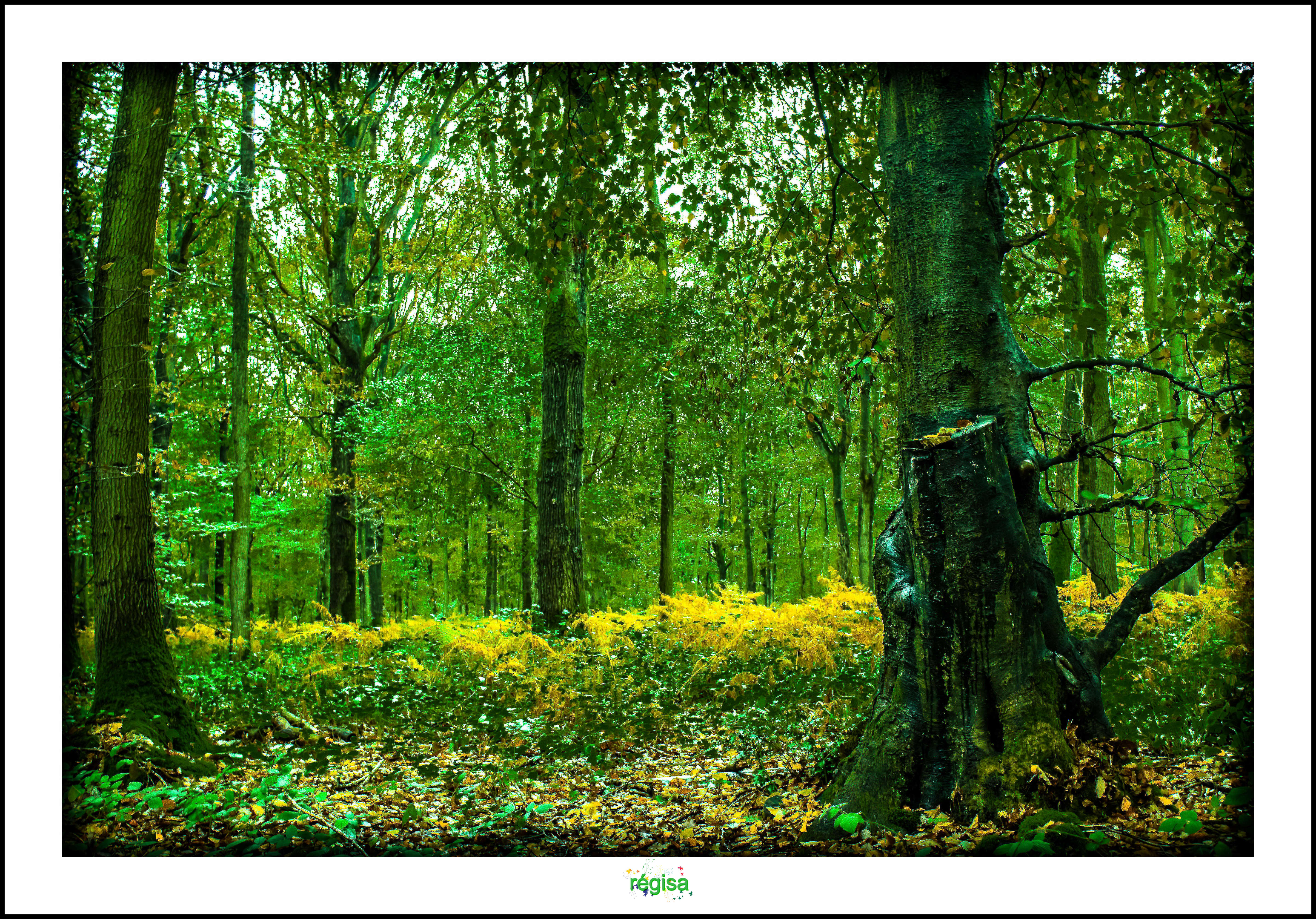
FORÊT D'EPERLECQUES

golf de saint omer france

le passage

Sur la crête.

Eglise Saint Omer de Millam

A ciel ouvert.

Menace sur les épis
Topographic Map of 3 Rue de la Mairie, Nort-Leulinghem, France
Find elevation by address:

Places near 3 Rue de la Mairie, Nort-Leulinghem, France:
Nort-leulinghem
Rue Principale, Mentque-Nortbécourt, France
Mentque-nortbécourt
Muncq-nieurlet
64 Rue du Bourg, Muncq-Nieurlet, France
Seninghem
4 Rue des Creuses, Seninghem, France
Rue du Village, Vieille-Église, France
Vieille-Église
16 Chemin de l'Aa, Bourbourg, France
Guemps
Avenue des Jonquilles, Guemps, France
10 Rue de l'Église, Vaudringhem, France
Vaudringhem
Longuenesse
Saint-omer
Z
1 Rue de Lumbres, Longuenesse, France
54 Rue Principale, Merck-Saint-Liévin, France
Merck-saint-liévin
Recent Searches:
- Elevation of Corso Fratelli Cairoli, 35, Macerata MC, Italy
- Elevation of Tallevast Rd, Sarasota, FL, USA
- Elevation of 4th St E, Sonoma, CA, USA
- Elevation of Black Hollow Rd, Pennsdale, PA, USA
- Elevation of Oakland Ave, Williamsport, PA, USA
- Elevation of Pedrógão Grande, Portugal
- Elevation of Klee Dr, Martinsburg, WV, USA
- Elevation of Via Roma, Pieranica CR, Italy
- Elevation of Tavkvetili Mountain, Georgia
- Elevation of Hartfords Bluff Cir, Mt Pleasant, SC, USA