Elevation of 3 Barber Rd, Woodstock, CT, USA
Location: United States > Connecticut > Windham County > Woodstock > Woodstock Valley >
Longitude: -72.072003
Latitude: 41.9408611
Elevation: 178m / 584feet
Barometric Pressure: 99KPa
Elevation Map:
Satellite Map:
Related Photos:

Dam view

Woodstock Fair

Kellogg's Puzzle

LOVE this view!!

WP_20140824_10_51_10_Raw.jpg

Kellogg's Puzzle
Someone to Watch Over Me
Pomfret,CT
Putnum, Connecticut

CSC_7312 (2)

CSC_7297 (5)

Dam steeple
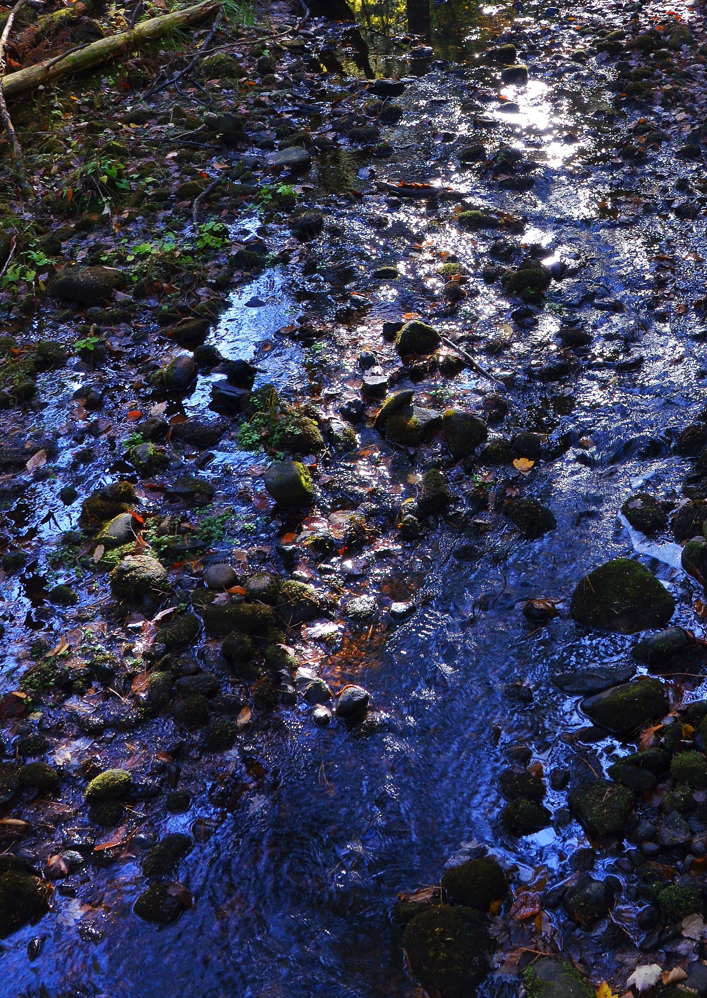
Fall Reflections
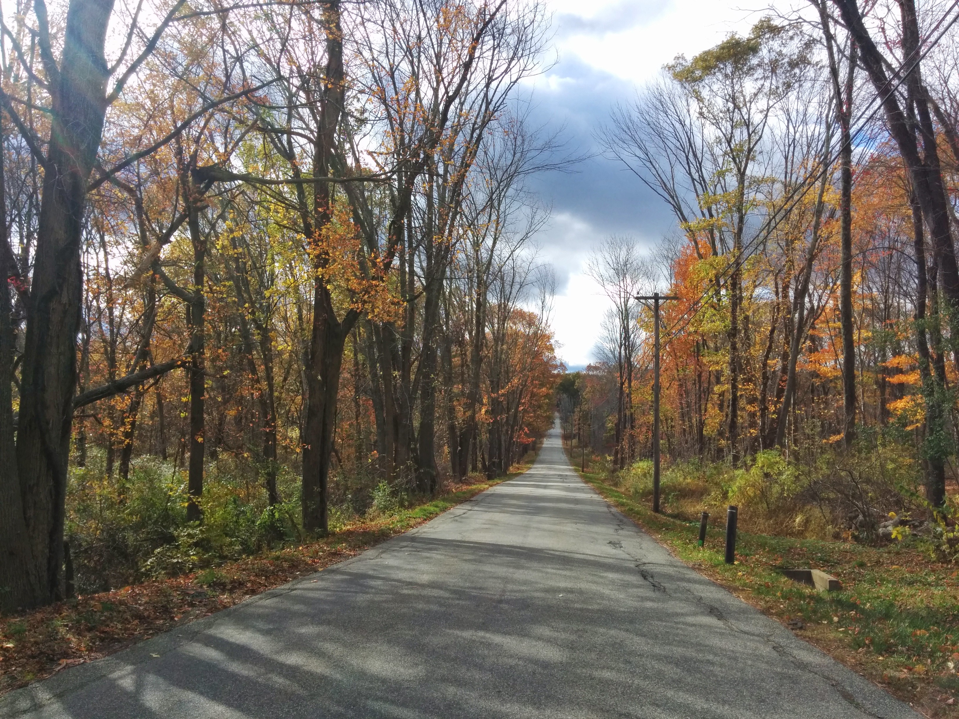
autumn in the country

DSC_7137 (2)
DSC_6820 (2)

CSC_7297 (2)
#hyde #morning

CSC_7246 (2)
Topographic Map of 3 Barber Rd, Woodstock, CT, USA
Find elevation by address:

Places near 3 Barber Rd, Woodstock, CT, USA:
Woodstock Valley
449 Ct-198
606 Ct-198
770 Ct-198
25 Tayler Trail
Crystal Pond
Eastford
Old Colony Road
229 Old Colony Rd
225 Old Colony Rd
43 Sherman Rd
Natchaug State Forest
Ashford
440 Ashford Center Rd
34 Bebbington Rd
Union
1014 Buckley Hwy
34 Cemetery Rd
126 Barrows Rd
317 Bebbington Rd
Recent Searches:
- Elevation of Corso Fratelli Cairoli, 35, Macerata MC, Italy
- Elevation of Tallevast Rd, Sarasota, FL, USA
- Elevation of 4th St E, Sonoma, CA, USA
- Elevation of Black Hollow Rd, Pennsdale, PA, USA
- Elevation of Oakland Ave, Williamsport, PA, USA
- Elevation of Pedrógão Grande, Portugal
- Elevation of Klee Dr, Martinsburg, WV, USA
- Elevation of Via Roma, Pieranica CR, Italy
- Elevation of Tavkvetili Mountain, Georgia
- Elevation of Hartfords Bluff Cir, Mt Pleasant, SC, USA