Elevation of 39 Travis Rd, Amherst, NS B4H 3Y3, Canada
Location: Canada > Nova Scotia > Cumberland County > Cumberland, Subd. C > Amherst >
Longitude: -64.118987
Latitude: 45.827014
Elevation: 37m / 121feet
Barometric Pressure: 101KPa
Elevation Map:
Satellite Map:
Related Photos:

1929 Dodge Brothers sedan

The View Beyond the Fence

View From Mount Whatley, New Brunswick

1960 Studebaker Lark sedan

1949 Studebaker 2R10 1-ton pickup

1955 Lincoln sedan

1932 Chevrolet coupe
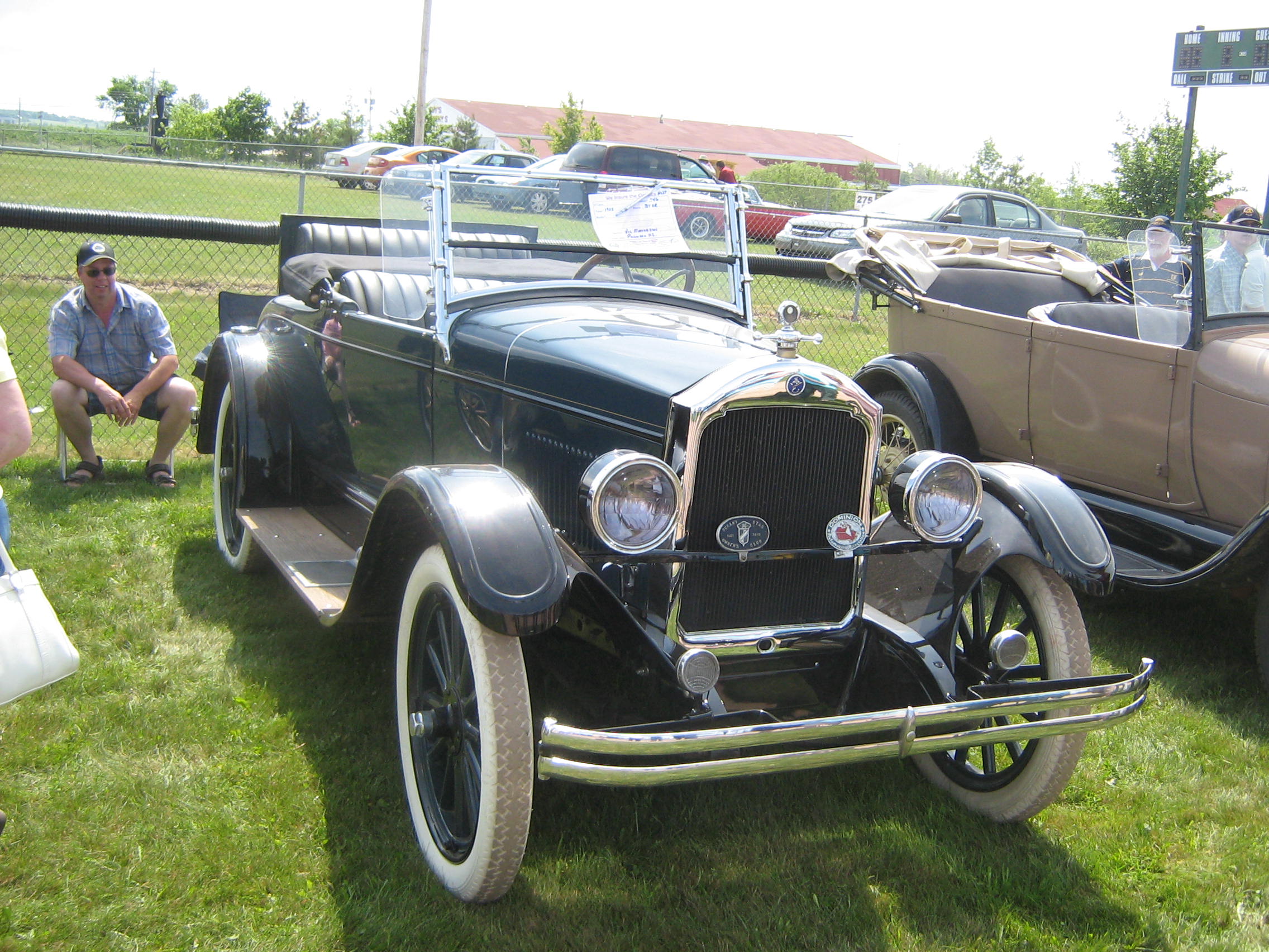
1925 Star rumble-seat roadster

Rats-eye view

Mosquito-eye view

Nova Scotia Wind Farm, Aulac New Brunswick
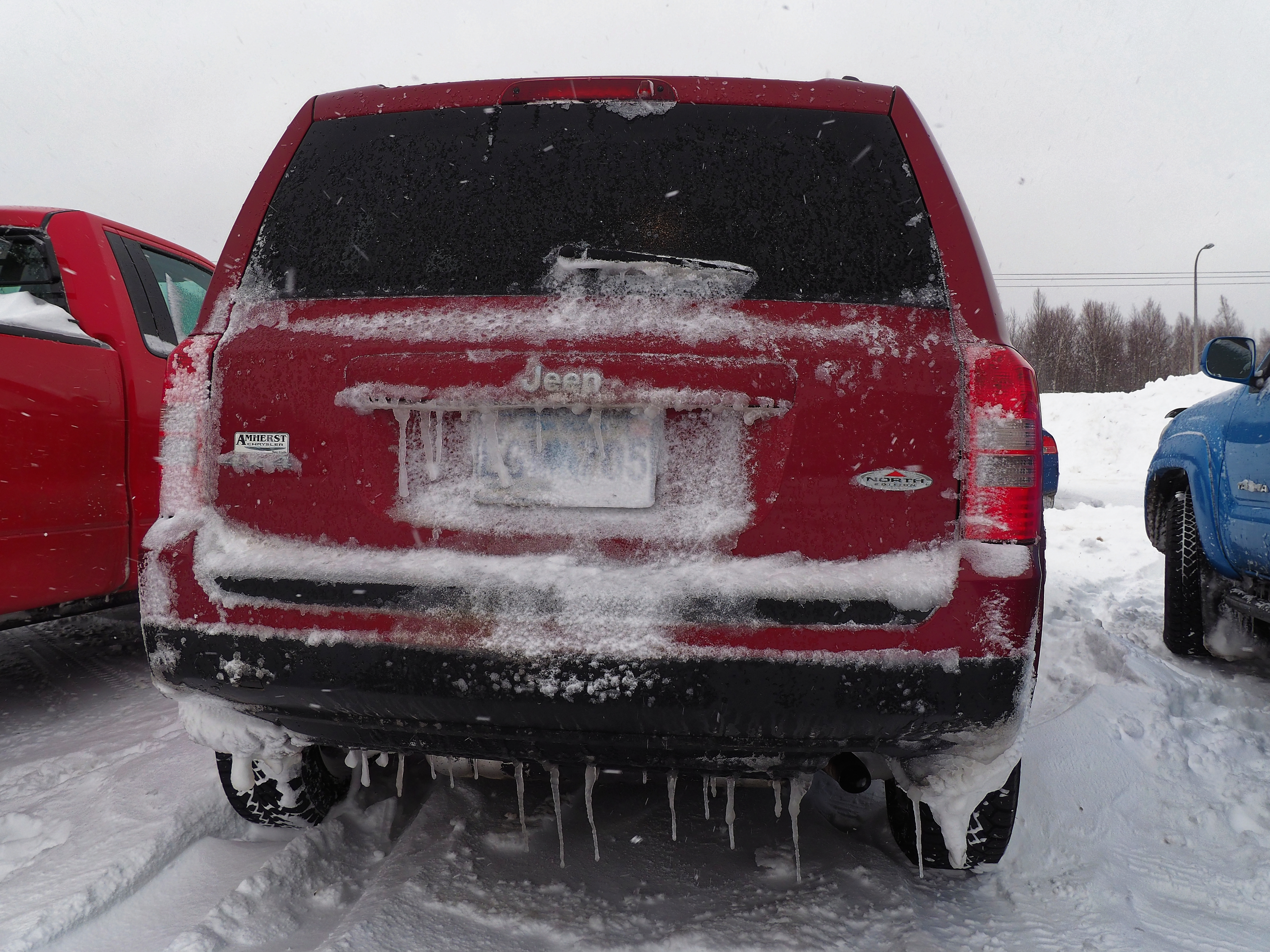
Rear view

Amherst, Nova Scotia

The view from Fort Beausejour, New Brunswick

DA 16-45,

Amherst, Nova Scotia

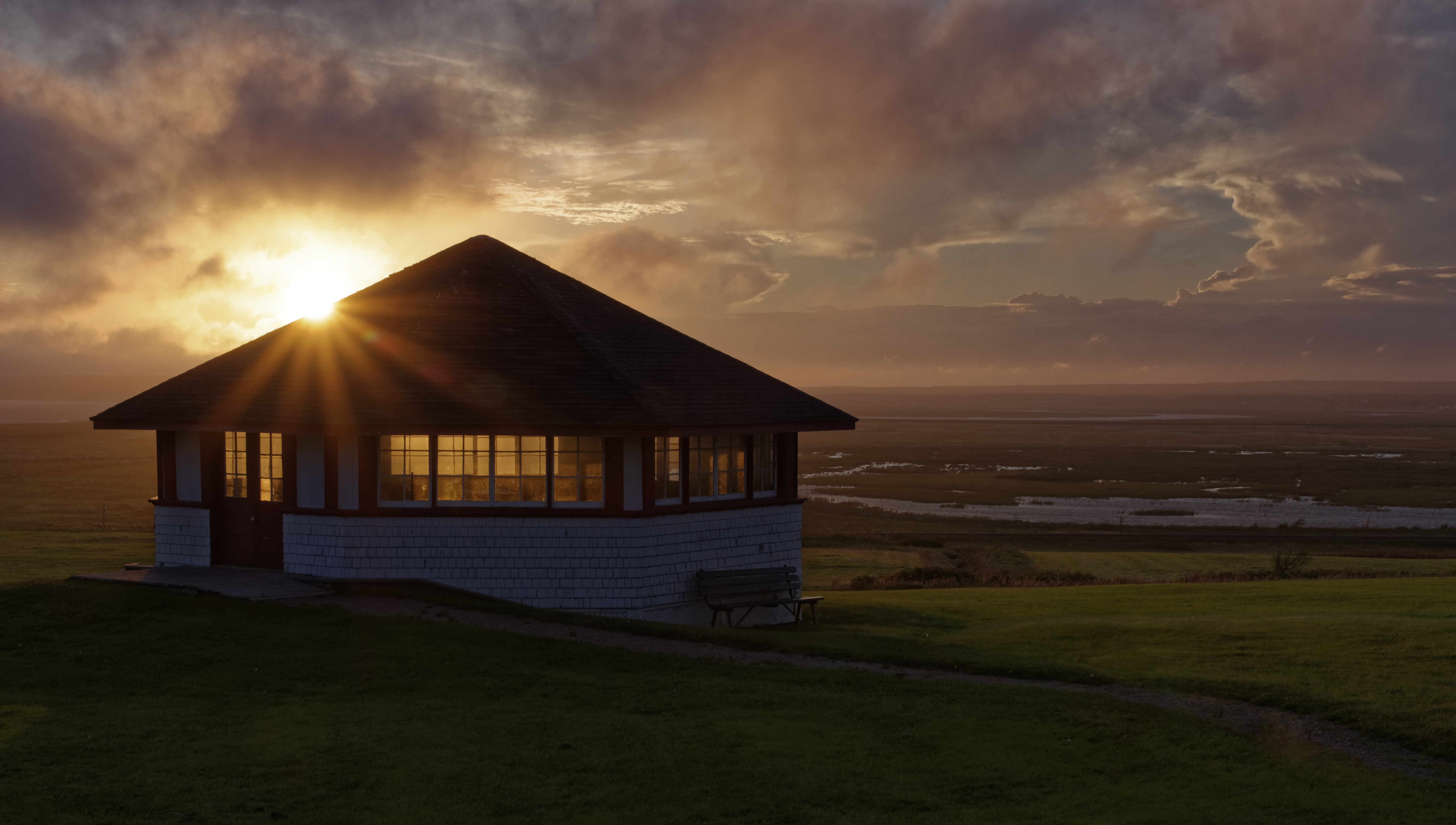
Implied sunset

Foggy Windmills
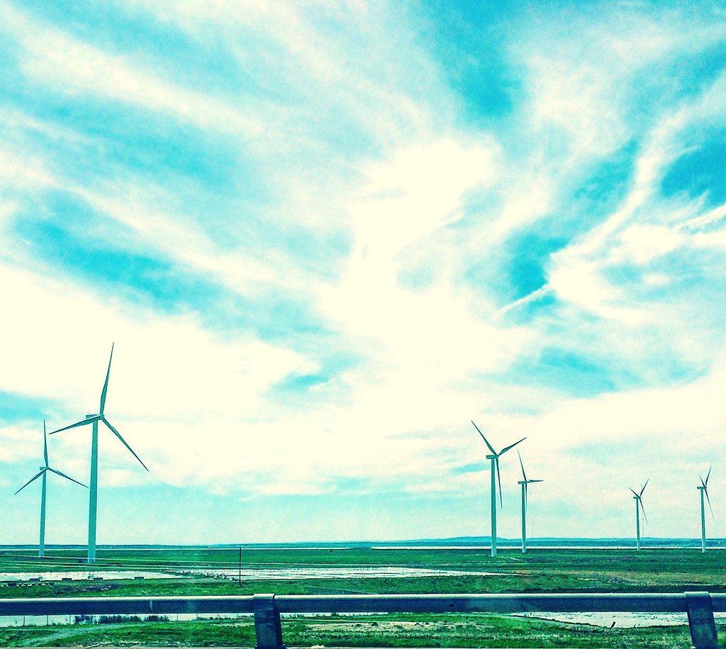
Wind farm

Cat tail
Fort Beausejour National Historic Site ,NB

Cumberland County

Covered bridge, winding river

Maples!

Prevailing winds

A50 1.7

Fort Beauséjour; before the storm

Pentax DA35 2.4
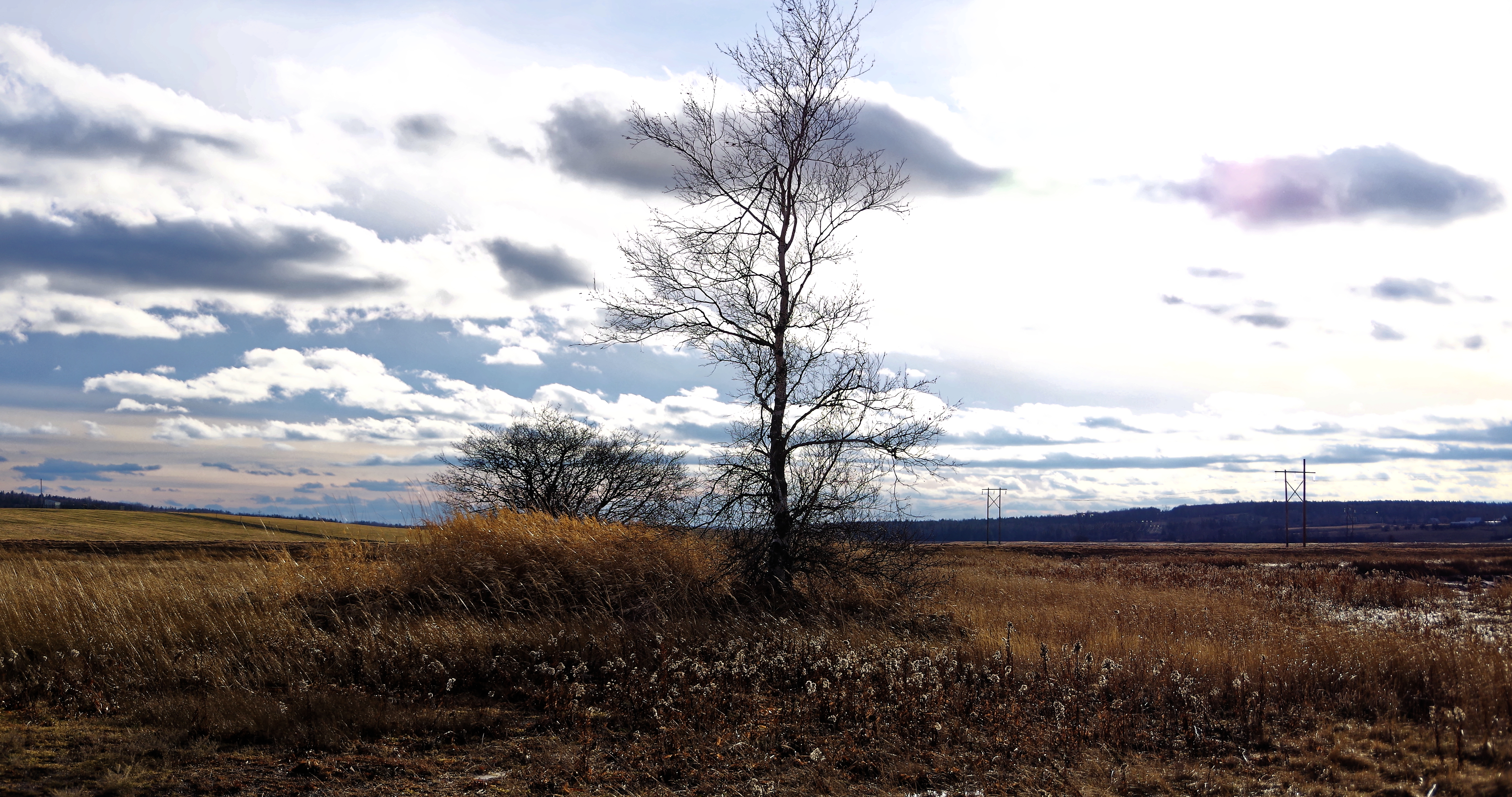
Tree, DA18-135

Cows in pasture

Morning, Pentax F35-70, roxsen reducer

Fort Lawrence Road, NS

Pentax K100D, F35-70

Fort Beausejour National Historic Site ,NB

Chignecto Ship Railway Site
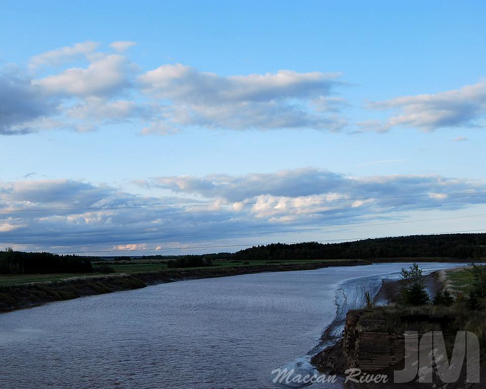
Maccan River
Topographic Map of 39 Travis Rd, Amherst, NS B4H 3Y3, Canada
Find elevation by address:

Places near 39 Travis Rd, Amherst, NS B4H 3Y3, Canada:
Hastings Rd, Amherst, NS B4H 3Y3, Canada
115 Hastings Rd
54 Brookside Dr
East Amherst
2 Ridgewood Ct
NS-, Amherst, NS B4H 3Y3, Canada
20 Summer St
204 Victoria St E
34 Rupert St
21 Crescent Ave
20 Eddy St
24 Eddy St
26 Eddy St
28 Eddy St
30 Eddy St
1 Lusby St
Amherst
2 Hamlet Ct
4626 Ns-302
99 Fenwick Rd
Recent Searches:
- Elevation of Corso Fratelli Cairoli, 35, Macerata MC, Italy
- Elevation of Tallevast Rd, Sarasota, FL, USA
- Elevation of 4th St E, Sonoma, CA, USA
- Elevation of Black Hollow Rd, Pennsdale, PA, USA
- Elevation of Oakland Ave, Williamsport, PA, USA
- Elevation of Pedrógão Grande, Portugal
- Elevation of Klee Dr, Martinsburg, WV, USA
- Elevation of Via Roma, Pieranica CR, Italy
- Elevation of Tavkvetili Mountain, Georgia
- Elevation of Hartfords Bluff Cir, Mt Pleasant, SC, USA