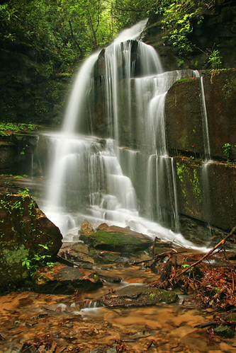
Elevation of 38 Seabrook Ln, Clayton, GA, USA
Location: United States > Georgia > Habersham County > Clarkesville >
Longitude: -83.584349
Latitude: 34.8585427
Elevation: 575m / 1886feet
Barometric Pressure: 95KPa
Related Photos:
Topographic Map of 38 Seabrook Ln, Clayton, GA, USA
Find elevation by address:

Places near 38 Seabrook Ln, Clayton, GA, USA:
Dicks Creek Road
389 Hilltop Cir
2467 Blalock - Goldmine Rd
1550 Blalock - Goldmine Rd
69 Durango Ln
Moccasin Creek State Park
568 Ga-197
570 Ga-197
570 Ga-197
570 Ga-197
83 Cricket Jct Ln
1929 Meeting House Mountain Rd
235 Village Club Trail
377 Deer Hill Rd
Waterfall Club
Village Club Trail
Lake Burton
188 Magnolia Pl Trail
560 Wilson Falls Rd
74 Bull Run Ln
Recent Searches:
- Elevation of Corso Fratelli Cairoli, 35, Macerata MC, Italy
- Elevation of Tallevast Rd, Sarasota, FL, USA
- Elevation of 4th St E, Sonoma, CA, USA
- Elevation of Black Hollow Rd, Pennsdale, PA, USA
- Elevation of Oakland Ave, Williamsport, PA, USA
- Elevation of Pedrógão Grande, Portugal
- Elevation of Klee Dr, Martinsburg, WV, USA
- Elevation of Via Roma, Pieranica CR, Italy
- Elevation of Tavkvetili Mountain, Georgia
- Elevation of Hartfords Bluff Cir, Mt Pleasant, SC, USA


