Elevation of 37 Nauset Heights Rd, Orleans, MA, USA
Location: United States > Massachusetts > Barnstable County > Orleans Town > Orleans >
Longitude: -69.940839
Latitude: 41.796693
Elevation: 12m / 39feet
Barometric Pressure: 101KPa
Elevation Map:
Satellite Map:
Related Photos:

Sunset View from the Chairs II

Linger By The Beach - Explored 3/6/13

Marsh View at Sunset

Linger View

Stars Over Fort Hill

Beach View

Linger By The Shore

Sand Covered

Sunset By The Dunes

Piling Reflections

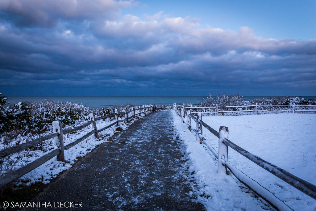
Blue Morning Snow

The Path to Stage Harbor Lighthouse

View from the backyard

Sunset Beach View

Rainbow at Sunset [Explored 7/29/12]
Rock Harbor View

Red Sky View from Grasses

Lone Tree at Sunset

Surf Fishing at Sunset 2

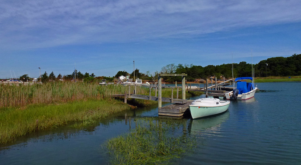
Empty Slips

Rock Harbor View

Forest Beach Conservation Area

Trotting Down The Beach

Over the Horizon

Sunset Layers

Brewster Grist Mill Cape Cod

Winter Shoreline - Explored 3-5-13

Brewster Flats On A Sunny Day

Cape Cod

Herring Run - Brewster

Heading Home

Fisherman's Catch

Sunset by The Rocks - Explored 3 - 2- 2013
The Desolate Path to the Ocean

Wellfleet Bay Wildlife Sanctuary

Wellfleet Shoreline

The Fishing Pier

Rock Harbor Silhouette

White Sands, Blue Skies
Topographic Map of 37 Nauset Heights Rd, Orleans, MA, USA
Find elevation by address:

Places near 37 Nauset Heights Rd, Orleans, MA, USA:
Nauset Road
41 Nauset Rd
14 Nauset Rd
16 Nauset Rd
18 Standish Rd
23 Standish Rd, Orleans, MA, USA
17 Surf Boat Ln
19 Nauset Heights Rd
Pendleton Drive
5 Nauset Heights Rd
120 Beach Rd
7 Seal Ln
9 Seal Ln
21 Tanglewood Terrace
46 Cedar Land Rd
29 Gosnold Rd
2 Colony Dr
124 Brick Hill Rd
4 Westwood Dr
12 Shore View Dr
Recent Searches:
- Elevation of Corso Fratelli Cairoli, 35, Macerata MC, Italy
- Elevation of Tallevast Rd, Sarasota, FL, USA
- Elevation of 4th St E, Sonoma, CA, USA
- Elevation of Black Hollow Rd, Pennsdale, PA, USA
- Elevation of Oakland Ave, Williamsport, PA, USA
- Elevation of Pedrógão Grande, Portugal
- Elevation of Klee Dr, Martinsburg, WV, USA
- Elevation of Via Roma, Pieranica CR, Italy
- Elevation of Tavkvetili Mountain, Georgia
- Elevation of Hartfords Bluff Cir, Mt Pleasant, SC, USA