Elevation of 37 Hopkins Hollow Rd, Coventry, RI, USA

Location: United States > Rhode Island > Kent County > Coventry >

Longitude: -71.746341

Latitude: 41.6906907

Elevation: 129m / 423feet

Barometric Pressure: 100KPa

Elevation Map:

elevation map of 37 Hopkins Hollow Rd, Coventry, RI, USA

Satellite Map:

Satellite map of 37 Hopkins Hollow Rd, Coventry, RI, USA

Related Photos:

light rhodeisland westgreenwichri odc2 rjoannejohnson lakemishnock
ODC2 Natural Light
geocaching
080921_005-View near Scituate 39
night forest offroad dirt trail triumph nightride d4 tigerexplorer denalid4 denaliauxiliarylights
Side view with auxiliaries on.
canon elph300hs waterscape ri rhodeisland mist reflection water almostanything wallpaper painterly
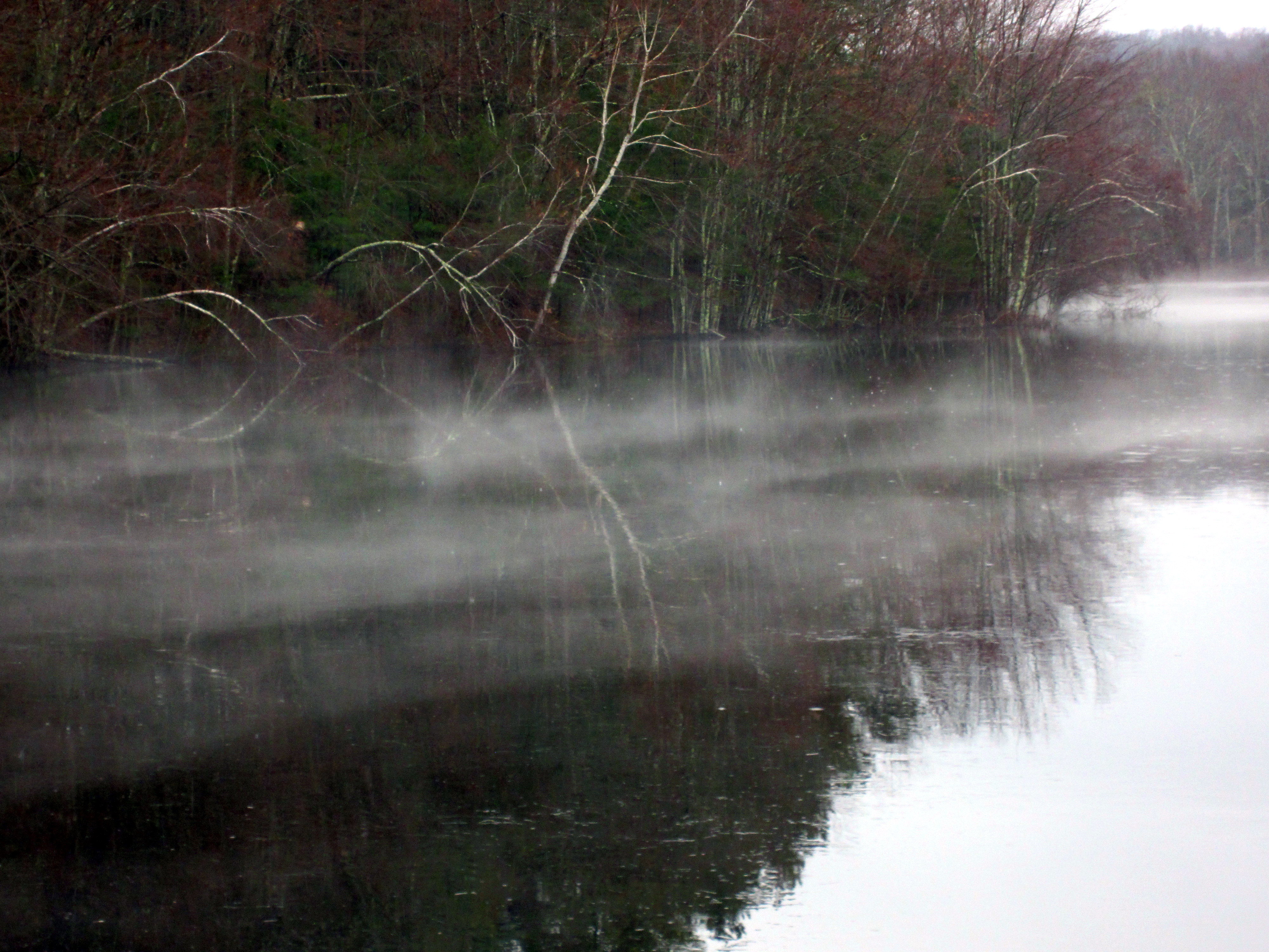
reflection in the mist
november trees sky tree nature field grass bluesky rhodeisland coventryrhodeisland georgebparkerwoodlandrefuge
NOVEMBER MOOD
wasp idplease 11 rhodeisland rattlesnakeledge realmacro insectmacro waspmacro sooc westgreenwich pentaxk20d tamronadaptall218f11tube tamronadaptall2pentaxkamount tamronadaptall2model52bbsp90mmf25macrolens wickaboxettmanagementarea
Wasp Face
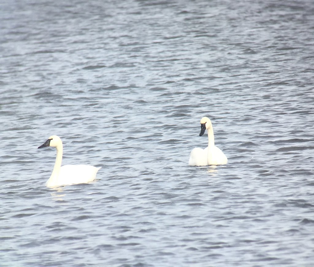
Tundra Swans, Record Shot
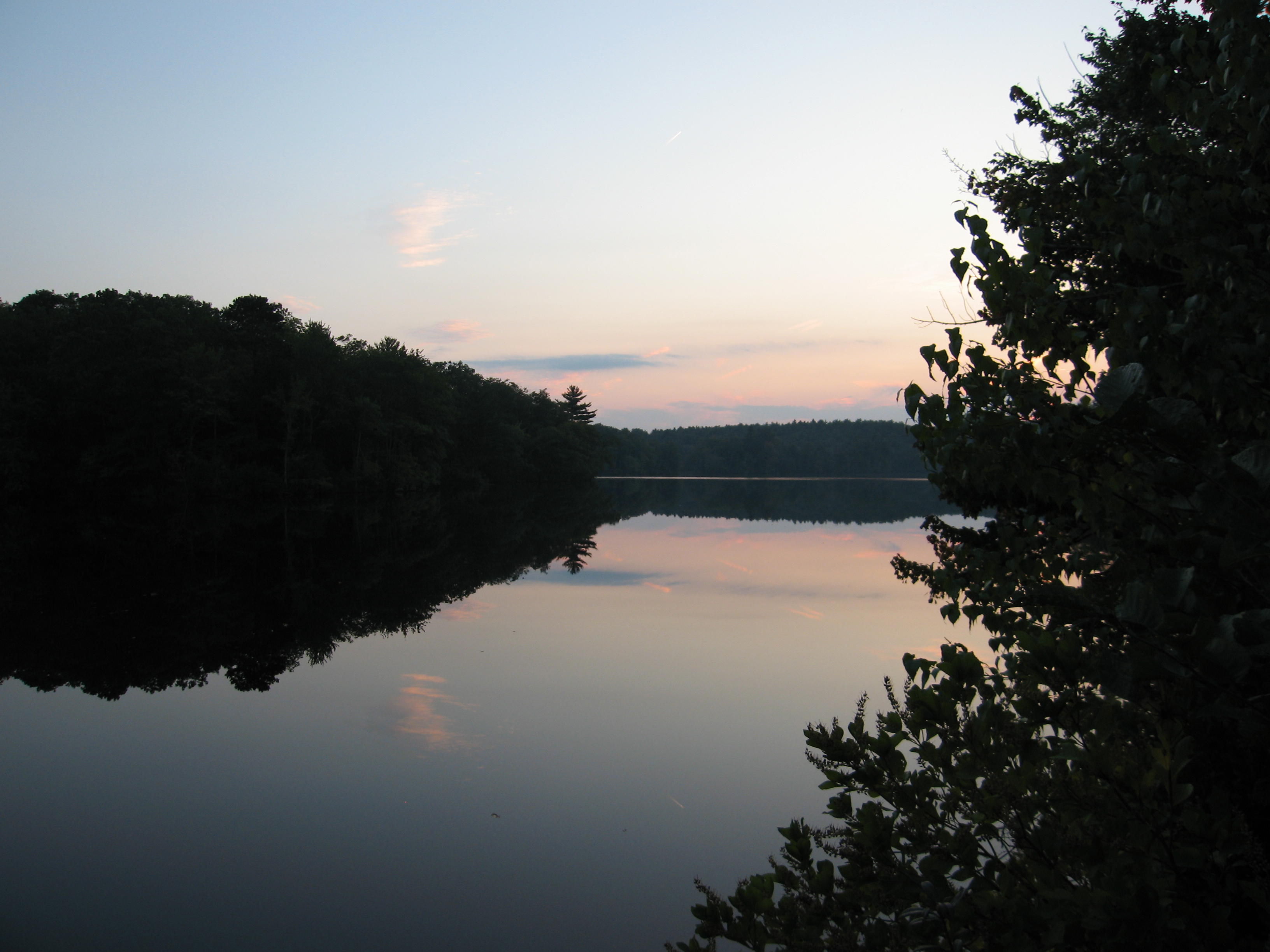
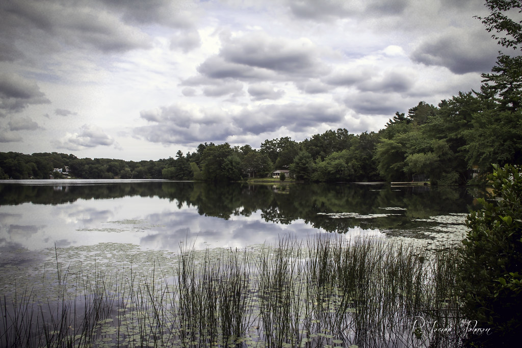
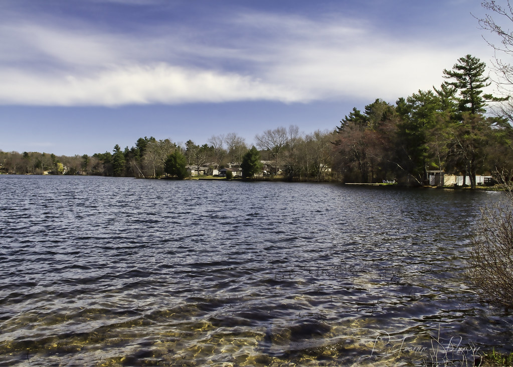
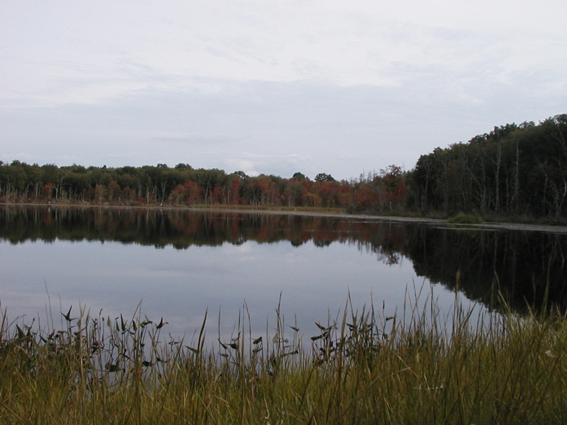
Lake View
wasp idplease 11 rhodeisland rattlesnakeledge realmacro insectmacro waspmacro sooc westgreenwich pentaxk20d tamronadaptall218f11tube tamronadaptall2pentaxkamount tamronadaptall2model52bbsp90mmf25macrolens wickaboxettmanagementarea
Wasp Macro
usa water unitedstates connecticut ct allrightsreserved voluntown route49 pachaugriver nehantictrail
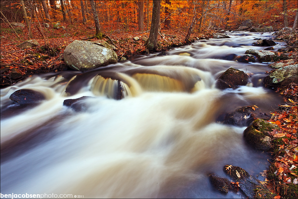
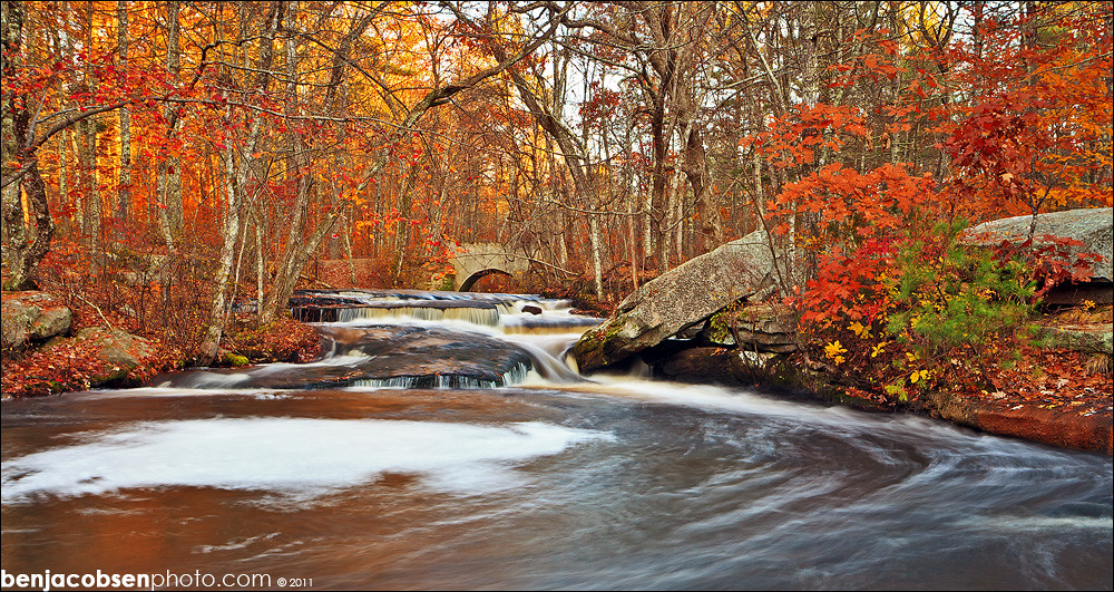
Eastern View of Pachaug River in Autumn
usa water unitedstates connecticut ct allrightsreserved voluntown route49 pachaugriver nehantictrail
Western View of Pachaug River in Autumn
panorama usa water unitedstates connecticut ct allrightsreserved voluntown pachaugstateforest pachaugtrail hellhollowpond hellhollowroad quinebaugtrail
Panoramic View of Hell Hollow Pond
#14 - Another view looking down.
panorama usa water unitedstates connecticut ct allrightsreserved voluntown pachaugstateforest beachdalepond pachaugriver nehantictrail
Panoramic View of Beachdale Pond in Autumn
Broad Brook
usa water unitedstates connecticut ct allrightsreserved voluntown pachaugstateforest pachaugtrail nehantictrail mountmiserybrook mtmiserybrook
Mount Misery Brook
ri panorama usa water unitedstates rhodeisland exeter arcadia allrightsreserved beachpond route165 pachaugtrail tenrodroad tippecansetttrail
View of Beach Pond from the Former Beach
ri panorama usa water unitedstates rhodeisland exeter arcadia allrightsreserved beachpond pachaugtrail
Panoramic View of Beach Pond from the East
panorama usa unitedstates connecticut ct allrightsreserved voluntown mtmisery mountmisery pachaugstateforest pachaugtrail nehantictrail
Panoramic View from Mount Misery
white flower macro digital canon bug insect rebel petals bokeh connecticut beetle dslr canonrebelxsi rebelxsi
Nice View from Up There.
RI view
autumn landscape newengland rhodeisland fujifilm 1855 xe1 maxwellmayswildliferefuge
New England Autumn [ Explored ]
ri autumn water pond rhodeisland recreation manualfocus hdr hikingtrail photomatix sirois manuallens arcadianationalpark rhodeislandusa tamron17mmf35 arcadiamanagementarea arcadiastatepark browningmillpond model51b nikond7100 photomatixessentials tamron17mmf35spbbarmchighspeedultrawideanglelensmodel51b exeterrhodeislandusa artsirois richmondrhodeislandusa westgreenwichrhodeislandusa 20fhorb6fhlenshood
Arcadia Fall 13_25_HDR
sky lake reflection water peace cream august rhodeisland serenity serene 365daysincolour mishnock odc3 rjoannejohnson
ODC3 Serenity, 50/365 Days in Colour : Explore, August 21, 2012
ri autumn water pond rhodeisland recreation manualfocus hikingtrail fishery sirois manuallens arcadianationalpark rhodeislandusa arcadiamanagementarea arcadiastatepark browningmillpond modelqz35m nikond7100 tamron3580mmf2835bbarmacrozoommodelqz35m tamron3580mmf2835 exeterrhodeislandusa artsirois richmondrhodeislandusa westgreenwichrhodeislandusa
Arcadia Fall 13_5
square squareformat iphoneography instagramapp uploaded:by=instagram foursquare:venue=4d9ed69235a9224b96cd3d85
New England, going to New York.
square squareformat iphoneography instagramapp uploaded:by=instagram foursquare:venue=4c4a38b85609c9b6b0bc568f
Good Morning..!
ri autumn sunset water pond rhodeisland recreation manualfocus hikingtrail fishery sirois manuallens arcadianationalpark rhodeislandusa arcadiamanagementarea arcadiastatepark browningmillpond modelqz35m nikond7100 tamron3580mmf2835bbarmacrozoommodelqz35m tamron3580mmf2835 exeterrhodeislandusa artsirois richmondrhodeislandusa westgreenwichrhodeislandusa
Arcadia Fall 13_6
geotagged geo:lat=415853023942311 geo:lon=718026180288458
OLYMPUS DIGITAL CAMERA
ri fall leaves river waterfall 1740 leegnd 5dii leecp nooseneckhollow
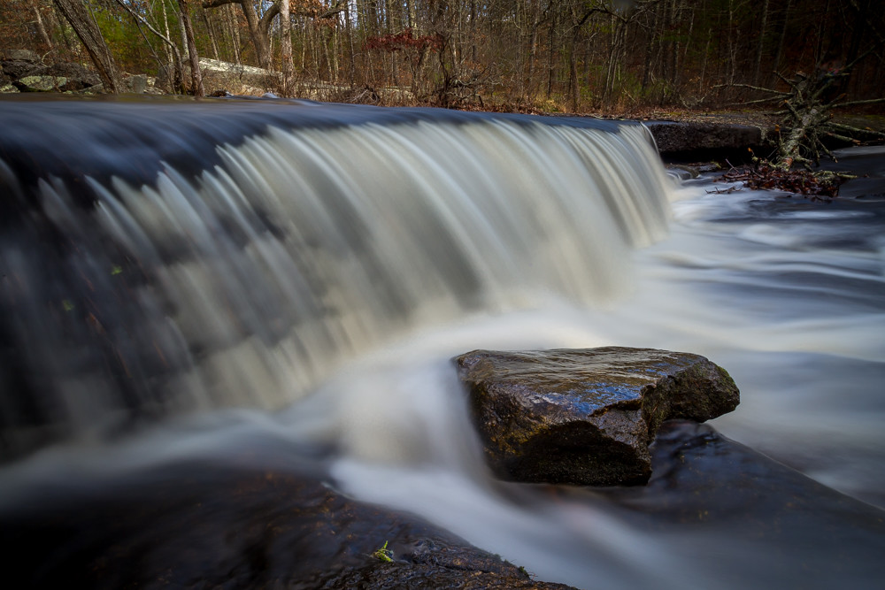
Nooseneck lower falls
road trees rural canon shadows path 60d odc3
ODC3 Paths/Pavements
beavertaillighthouse
Splash!
spring rhodeisland westgreenwichri odc2 lakemishnock
ODC2 Dwarfed
trip ri copyright usa cold art water boston stone night canon river ma island photography us long exposure do day all greg slow massachusetts 4 smooth falls adobe stepping rights solo use mackay mm dslr gregory rhode without reserved permission watermark settings beantown lightroom 40d westgreenwich canon40d usingacanoneos40d gregmackay mackayphotography gmack24 gregmackayphotography adobelightroom4 rhodeisland2012solotrip
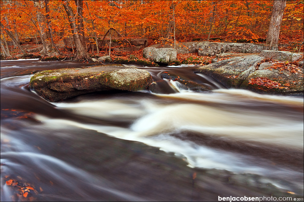
Stepping Stone Falls - RI
ri fall leaves river waterfall 14mm 5dii nooseneckhollow
Nooseneck Vertical
orange fall colors leaves waterfall rhodeisland steppingstone gnd 5dii leecp
stepping stone swirlies
square sierra squareformat iphoneography instagramapp uploaded:by=instagram foursquare:venue=4cd6f0457da9a35d002ef2b9
My office today? A lakeside cabin :)
longexposure autumn trees nature water leaves outdoors rocks waterfalls
Stepstone Falls
orange fall colors leaves waterfall rhodeisland steppingstone gnd 5dii leecp
stepping stone lower rock
orange fall colors leaves waterfall rhodeisland steppingstone 14mm 5dii
grassy pool at stepping stone
geotagged geo:lat=41610206 geo:lon=718159273466667
OLYMPUS DIGITAL CAMERA