Elevation of 35 US-, Eddyville, KY, USA
Location: United States > Kentucky > Lyon County > Eddyville >
Longitude: -88.064069
Latitude: 37.0992907
Elevation: 165m / 541feet
Barometric Pressure: 99KPa
Elevation Map:
Satellite Map:
Related Photos:

Sunset @ Cravens Bay

The Great Blue Heron of Cravens Bay
Hotel California
Farm Reflections..
Mud Hole

Oh what a Beautiful Morning
A vineyard in KY. I've seen it all..:
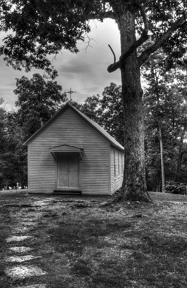
St. Stephen Catholic Church

DSC_0362.jpg
Topographic Map of 35 US-, Eddyville, KY, USA
Find elevation by address:

Places near 35 US-, Eddyville, KY, USA:
102 Chestnut St
Eddyville
Lyon County
Palisades Dr, Eddyville, KY, USA
Lisanby Rd, Eddyville, KY, USA
2574 Paradise Hills Rd
586 Moon Bay Dr
Commerce Landing Rd, Eddyville, KY, USA
Training Center Drive
1712 Tiline Rd
1345 Ferguson Rd
Garrett Street
Marion Rd, Princeton, KY, USA
Caldwell County
Whitley Way
Princeton
1345 Ferguson Rd
1340 Bethany Church Rd
410 Peninsula Dr
Hurricane Creek Recreation
Recent Searches:
- Elevation of Corso Fratelli Cairoli, 35, Macerata MC, Italy
- Elevation of Tallevast Rd, Sarasota, FL, USA
- Elevation of 4th St E, Sonoma, CA, USA
- Elevation of Black Hollow Rd, Pennsdale, PA, USA
- Elevation of Oakland Ave, Williamsport, PA, USA
- Elevation of Pedrógão Grande, Portugal
- Elevation of Klee Dr, Martinsburg, WV, USA
- Elevation of Via Roma, Pieranica CR, Italy
- Elevation of Tavkvetili Mountain, Georgia
- Elevation of Hartfords Bluff Cir, Mt Pleasant, SC, USA