Elevation of 34 Grace Ln, Southbridge, MA, USA

Location: United States > Massachusetts > Worcester County > Southbridge > Southbridge >

Longitude: -72.061329

Latitude: 42.0646458

Elevation: 201m / 659feet

Barometric Pressure: 99KPa

Elevation Map:

elevation map of 34 Grace Ln, Southbridge, MA, USA

Satellite Map:

Satellite map of 34 Grace Ln, Southbridge, MA, USA

Related Photos:

happynewyear 2018 happy year years new snow cold winter fences oldsturbridge sturbridge village massachusetts newengland holiday davelawler chancyrendezvous blurgasm lawler
Happy New Year
osv osvorg sturbridge massachusetts newengland spring village mill pond reflection morning nikon nikkor d500 chancyrendezvous davelawler blurgasm lawler
Morning Walk, Mill Pond
camping trees summer sky panorama nature landscape geotagged woods afternoon view hiking massachusetts sony newengland cybershot hike sturbridge hdr brooks wellsstatepark brooksbos rx100m2 dscrx100m2
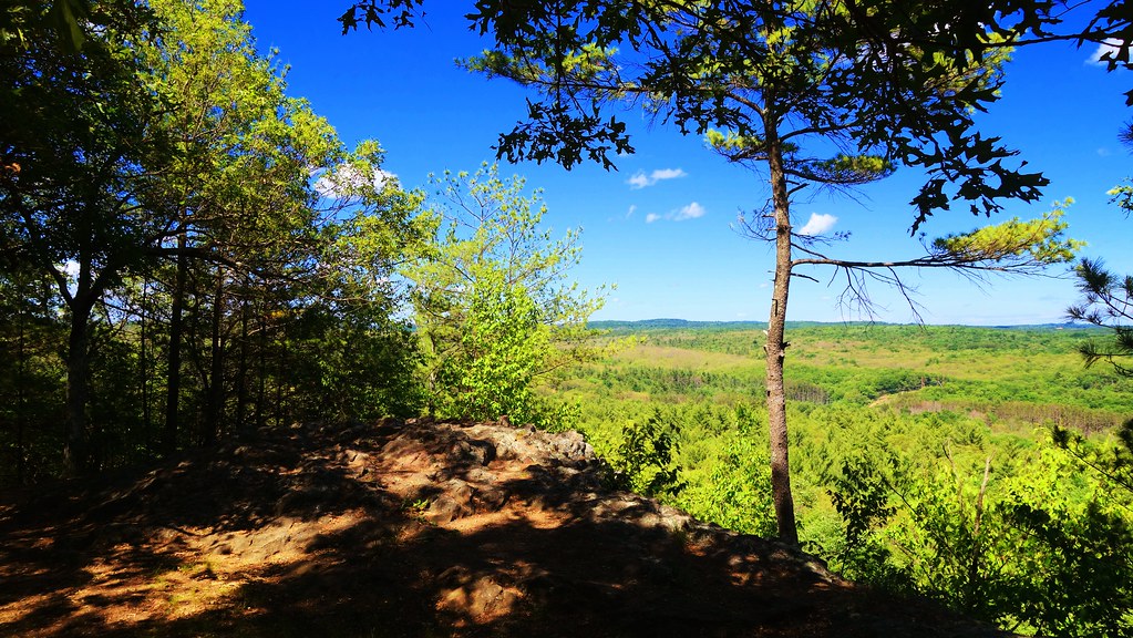
View from Carpenter Rock
coveredbridge bridge covered osv sturbridge massachusetts newengland village tourists spring reflection mill pond dummerston vermont nikon nikkor d500 chancyrendezvous davelawler blurgasm lawler
Covered Bridge, Tourists
gypsy moth caterpillar church osv osvorg chicken meetinghouse leaves trees common massachusetts sturbridge damage nikon nikkor chancyrendezvous davelawler blurgasm lawler
Free Range
Black Diamonds East
blue autumn red sky color fall church yellow clouds massachusetts newengland steeple foliage firstcongregationalchurch brimfield brimfieldma supershot impressedbeauty
New England Church
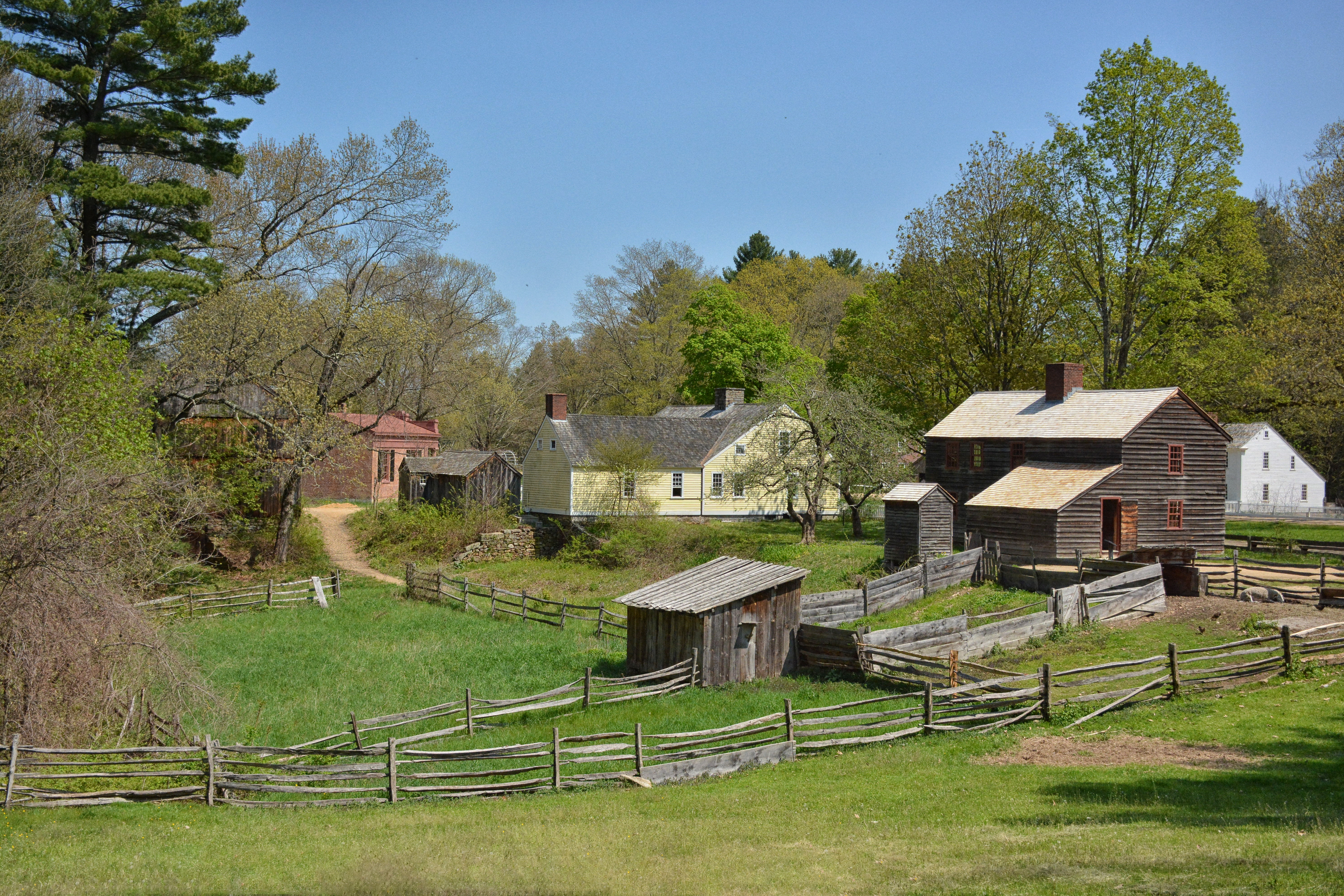
First View of the Village Upon Entering the Restoration
konica hexanon autumn cc100 artrocity
Blocking his view
stream tank massachusetts release vacuum boom oil brook spill leak sheen recover oilspill tankertruck absorb charlton rt20 cadybrook massdep departmentofenvironmentalprotection dieselfuel charltonma surfacewater vacuumtruck griffinroad dieseloil cadybrookcondominium cadybrookcondominiums charltonfiredepartment
Day 1 - DEP first view of Cady Brook tributary
museum ma massachusetts newengland familyfun sturbridge oldsturbridgevillage livinghistory historymuseum
Meeting the oxen on the Common, Old Sturbridge Village - Sturbridge
charlton massachusetts olympusmzuiko25mmf18 treehousebrewing underconstruction
Back View of Tree House Brewing
19thcentury gimp sturbridge reenactment oldsturbridgevillage sturbridgevillage tinshop tinner rubyphotographer wwcsig
The Tin Shop
Eared Grebe with Horned Grebe
19thcentury gimp sturbridge reenactment oldsturbridgevillage sturbridgevillage tinshop tinner wwcsig
Sampling Nutmeg
Eared Grebe with Horned Grebe
rainbow weather cloud tree field green blue color colorful nature outdoors hiking landscape summer june sky nikon connecticut newengland woodstock ~beautifulsky~
The calm after the storm
chancyrendezvous davelawler blurgasm landscape osv oldsturbridge sturbridge village meetinghouse steeple trees foliage leaves fall autumn house outhouse osvorg branches lawler
In Standard Time
autumn bigelowhollowstatepark connecticut connecticutphotographer d750 evening fall fallcolor lake landscapephotographer naturephotographer nikon october park pond statepark union digital reflection water greatphotographers
Age Before Beauty 2
forest nature green spring outdoors woods landscape trees pine spooky newengland connecticut eastford
Enter at your own risk
laurel kalmialatifolia mountainlaurel landscape mountainlaurelsanctuary union connecticut nipmuckstateforest
Mountain Laurel Sanctuary, Union, Connecticut
blue trees light sky lake green fall nature water colors clouds automne reflections river landscape lumix countryside eau outdoor couleurs massachusetts riviere newengland peaceful vert calm panasonic bleu automn ciel arbres lumiere serenity nuages paysage campagne reflets calme oldsturbridgevillage serein paisible serenite quinebaugriver gx7 micro43 mirrorlesscamera
Ballade au fil de l'eau (III)
mountainlaurel kalmialatifolia path trail laurelsanctuary union connecticut nipmuckstateforest
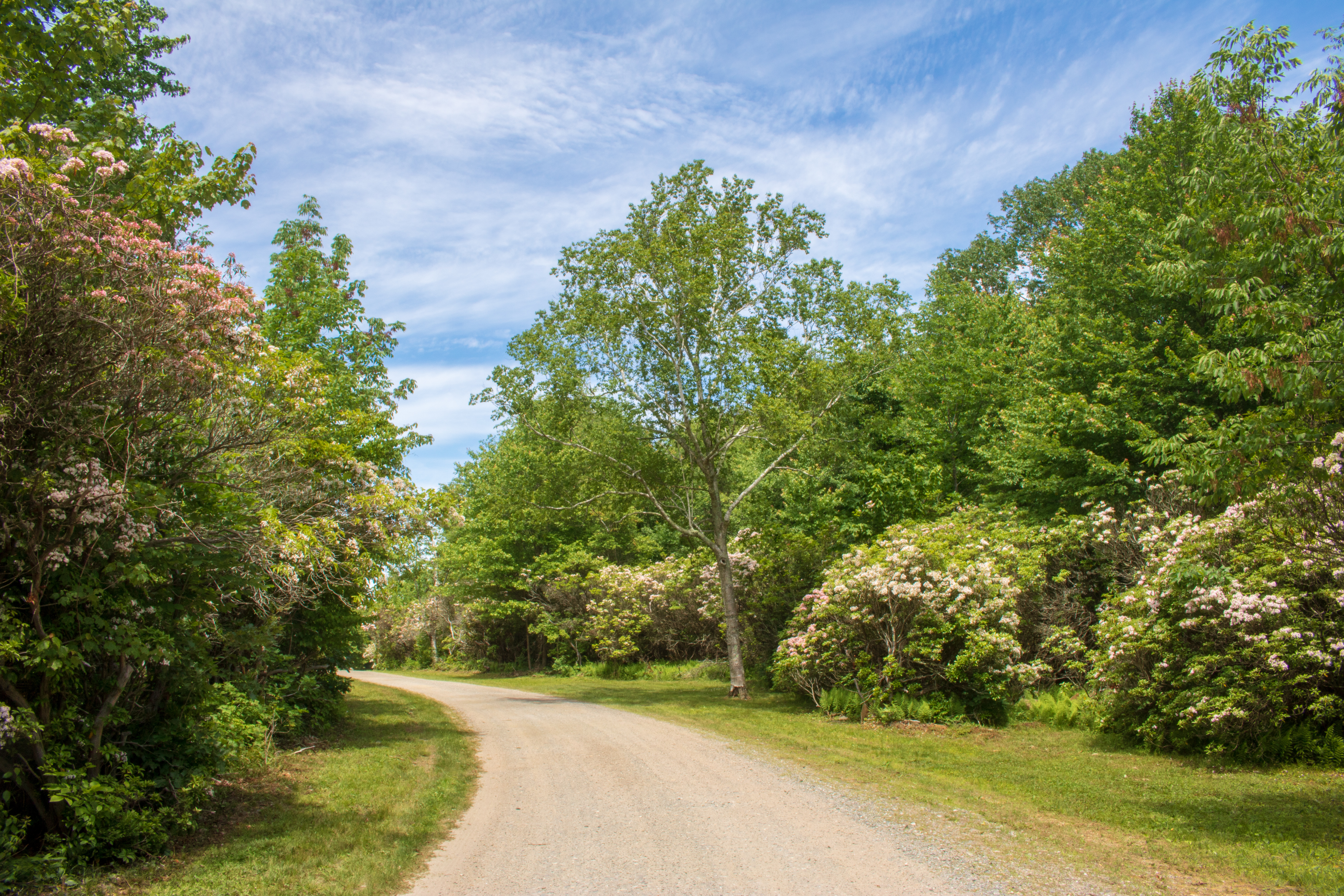
Path through the mountain laurel.
bridge pond massachusetts newengland oldsturbridgevillage livinghistorymuseum
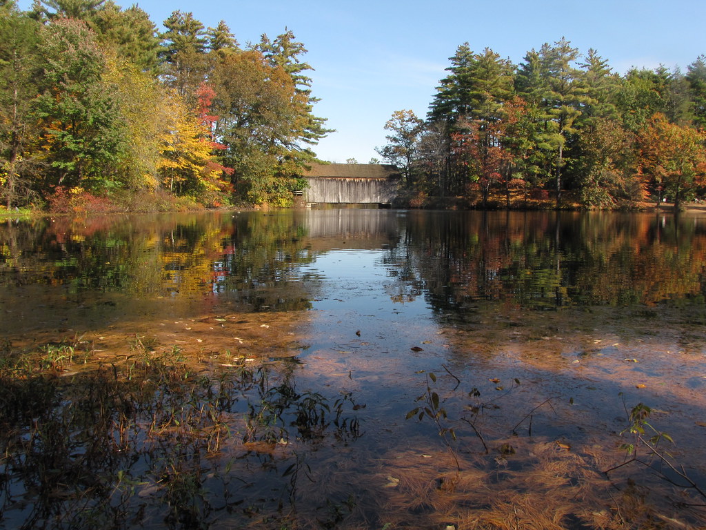
Mill Pond & Dummerston Bridge
morning camping light nature water landscape geotagged video massachusetts newengland olympus sturbridge brooks wellsstatepark xz xz1 brooksbos olympusxz1
Wells State Park Morning
autumn bigelowhollowstatepark connecticut connecticutphotographer d750 evening fall fallcolor lake landscapephotographer naturephotographer nikon october park pond statepark union digital reflection water
On the Trail
river massachusetts newengland oldsturbridgevillage livinghistorymuseum
Quinebaug River
cold ice creek waterfall stream massachusetts brookfield formations christmas2013
that little waterfall
fall autumn foliage colors road driving newengland connecticut landscape scenery country countryside
autumn in the country
autumn sky color reflection clouds boat pond newengland calm carwindowshot golddragon 15challengeswinner quaboagpond anotherchallengegroup
Calm Day on Quaboag Pond
old abandoned car barn rural landscape woods junk scenery empty massachusetts country newengland derelict lgcameraphone
abandoned shack
autumn house fall massachusetts sturbridge oldsturbridgevillage towne
Salem Towne House
stream tank massachusetts release vacuum boom oil brook spill leak sheen recover oilspill tankertruck absorb charlton rt20 cadybrook massdep departmentofenvironmentalprotection dieselfuel charltonma surfacewater vacuumtruck griffinroad dieseloil cadybrookcondominium cadybrookcondominiums charltonfiredepartment
Day 5 - DEP Photo - emulsified oil in wetland
artrocity snow minolta beercan winter
First snow in Charlton MA 2017
flood puddle reflection water geese canadiangeese wood wooden field farm pond quinebaugriver quinebaug river oldsturbridge sturbridge massachusetts spring landscape hff davelawler chancyrendezvous blurgasm lawler
Fences, Flooding